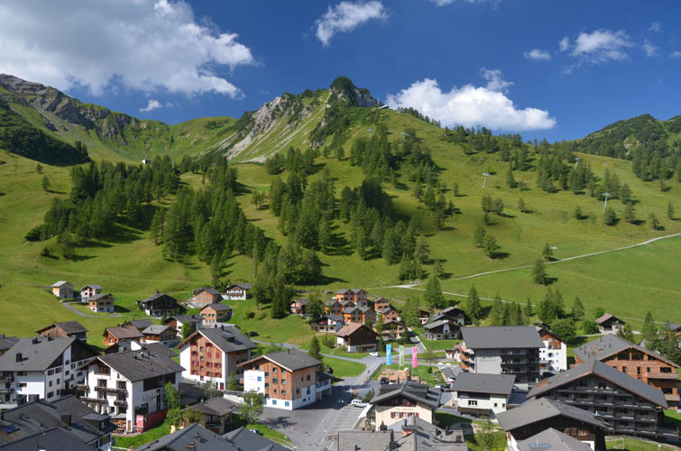
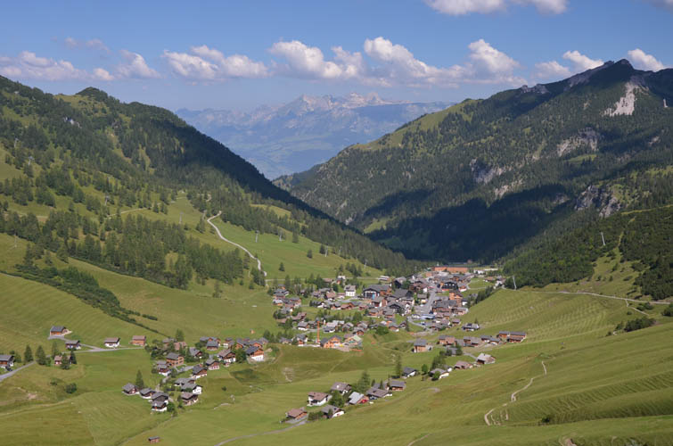
Malbun, Liechtenstein
26 July 2018
With Wen
Another loop through tiny Liechtenstein
The Augstenberg one of the most popular mountain hikes in the tiny principality of Liechtenstein and the Hausberg of the small town of Malbun. This is an easy but super scenic outing that’s fairly busy with day hikers in the summer. And we were lucky to have a fantastic blue bird day today!
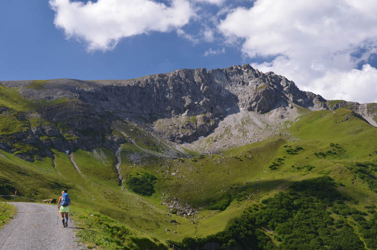
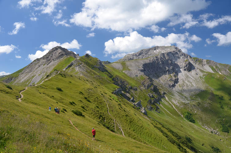
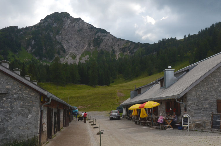
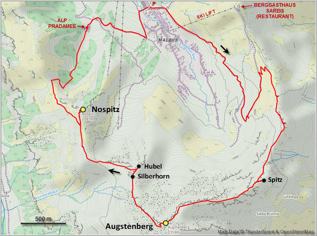
There are several ways to get to the summit. Most people seem to take the ski lift from Malbun to the Berggasthaus Sareis, a restaurant located right on the ridge connecting the Ochsenkopf with the Augstenberg. We walked up along the main route, a wide gravel track, to the ridge which we then followed along the very good trail towards the south.
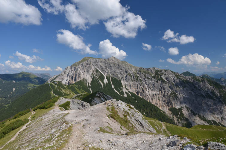
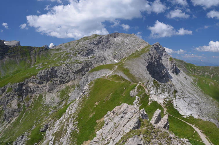
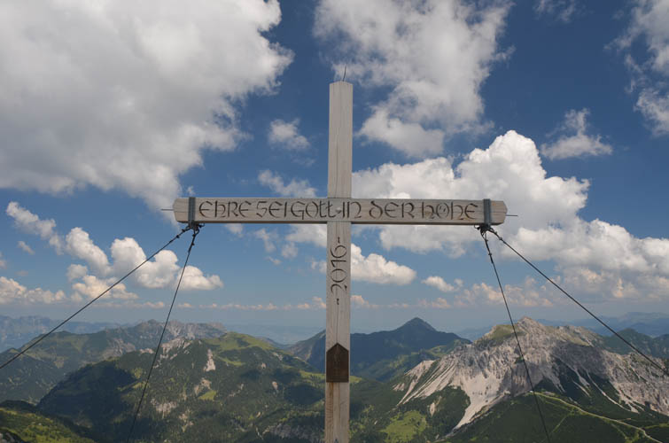
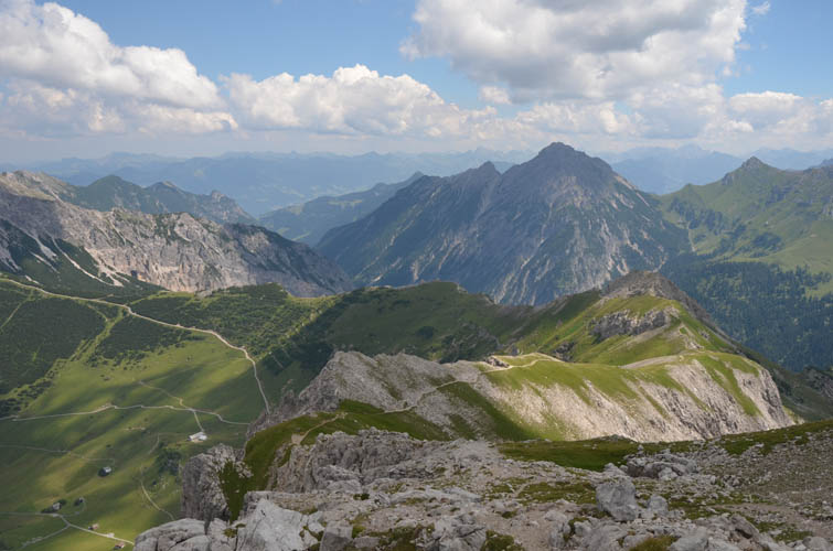
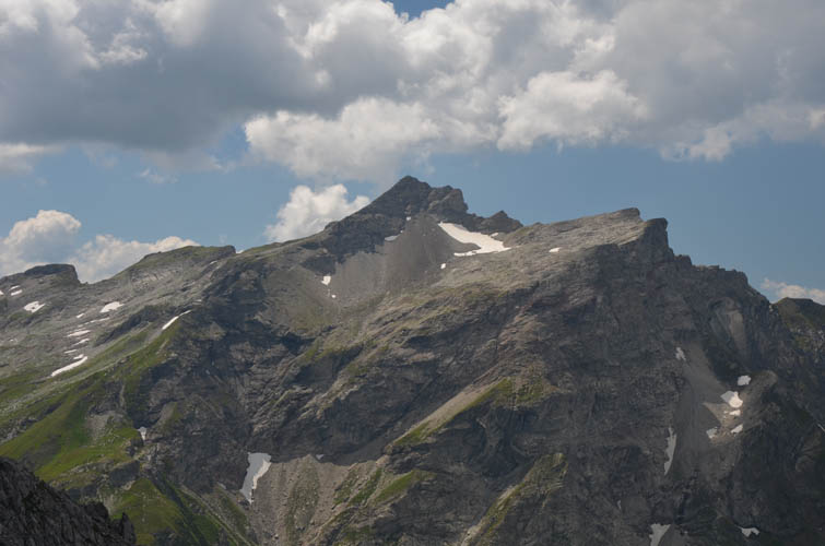
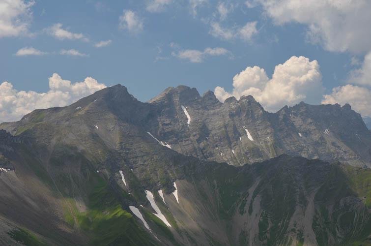
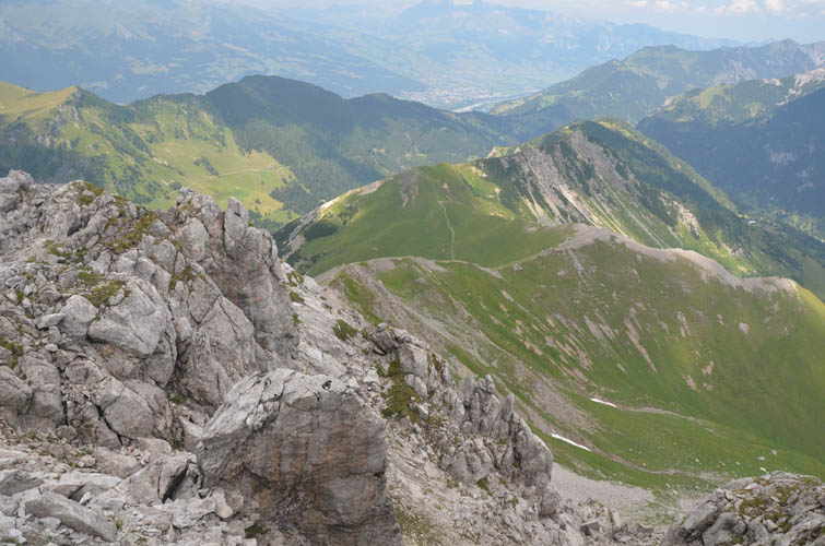
Along the ridge there are terrific views of loftier peaks in neighboring Austria and Switzerland. A short detour of perhaps 50 m brought us to a minor summit along the ridge labelled Spitz on maps, but the views from here are pretty much the same as from the ridge. Another short hike and we were standing atop the 2354 m summit of Augstenberg!
We enjoyed fantastic summit vistas with scores of other hikes, most coming up along the same route. It was great to get a sweeping view of the long ridge I had hiked the day before that took me to Liechtensteins highest mountain, the Vorder Grauspitz.
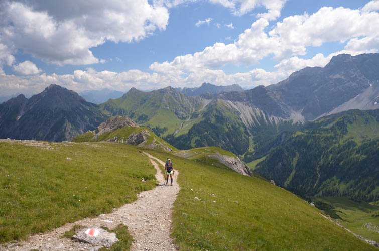
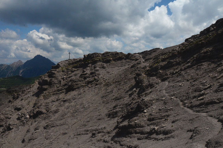
For the descent, almost everyone seems to either go back the same way or continue along the “Fürstin-Gina-Weg” (Princess Gina memorial trail) down the west side into the Valüna Valley, which then loops back over a saddle to Malbun. We wanted a little bit of scrambling instead and chose to descend along a rough path directly north of the summit down scree slopes and rocky terrain to the much gentler north ridge. Passing by the Silberhorn and Hubel, two minor named summits along the way (the latter sports a huge wooden cross built and carried up by 4th graders in 1984), we continued to the saddle where the Princess Gina Trail intersects.
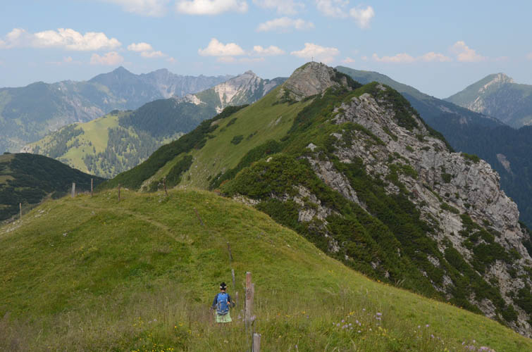
Instead of heading down to Malbun on the main trail here, we decided to tag on a small peak called Nospitz to the north. A poorly-trodden and narrow trail contours around the west side of the Nospitz ridge over grassy slopes and through thick shrubs to the small summit complete with wooden cross and register. Though quite easy to reach, this summit is absolutely deserted compared to the busy Augstenberg!
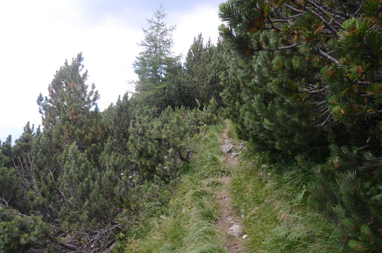
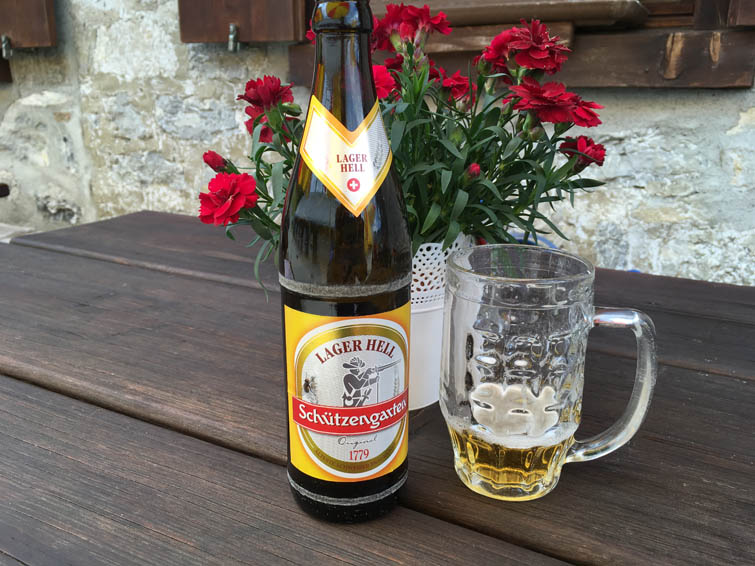
There’s another faint trail that goes down the shrubby west slopes of Nospitz to a small col directly northwest of the summit. Here, we followed a rough cow trail back towards Malbun. This is far off the tourist routes so once again we had the trail all to ourselves. As we descended to the first dirt road in the upper part of the valley we stumbled upon a wonderful little surprise: Alp Pradamee, a picturesque Alpine cow farm with a small restaurant for weary hikers. We had a cold beer and tried the delicious home-made plum cake just as the cows were coming back for milking. There’s no better way to end a beautiful day of hiking in the Alps!
| Elevation: | Augstenberg: 2358 m (official), 2354 m (my GPS) |
| Nospitz: 2091 m (official), 2089 m (my GPS) | |
| Elevation gain: | 920 m |
| Time: | 6 h |
| Distance: | 10.7 km |
| Difficulty level: | Easy (Kane), T2 (SAC) |
| Short section of T3 on descent north of Augstenberg summit | |
| Reference: | Local maps |
| Personal rating: | 4 (out of 5) |
DISCLAIMER: Use at your own risk for general guidance only! Do not follow this GPX track blindly but use your own judgement in assessing terrain and choosing the safest route.