Rhön Mountains, Germany
29 December 2018
Solo
A great workout hike through the empty meadows and forests of the Rhön Mountains
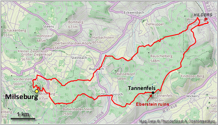
The Milseburg is a rocky outcrop of volcanic origin in the northern part of the Rhön Mountains in the State of Hesse. It’s a popular destination for hikers of all ages with several trails going up to the chapel and restaurant at the top.
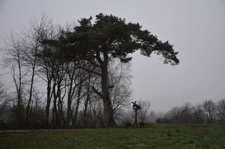
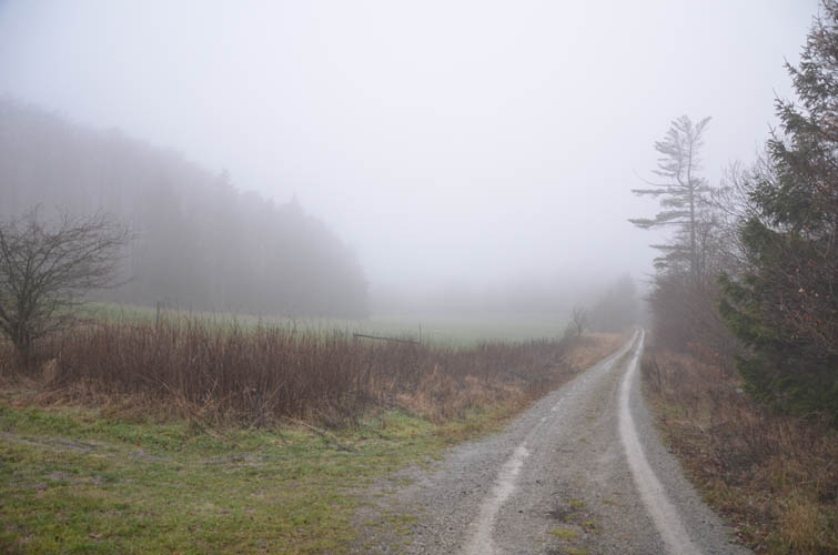
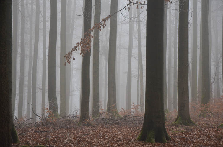
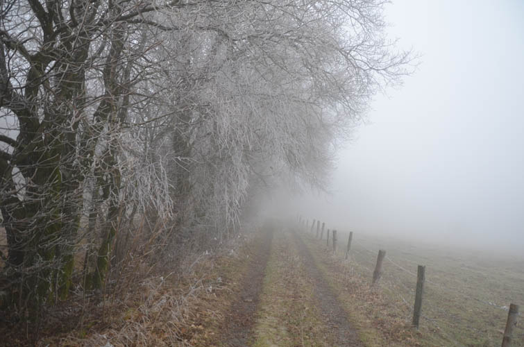
After a long break from hiking (more than a month!) over the Christmas period, it was finally time to head outdoors again and get some exercise. My mum joined me for the first part of the hike, which we started in the charming town of Hilders. The weather wasn’t great – quite cloudy with basically no views – but at least there was no rain and none of the persistent winds that hikers often have to contend with when out on the open hills of the Rhön. There was a silence and calmness about the misty landscape that made it feel even more untamed and mysterious than it normally is… especially when you don’t see another person for hours!
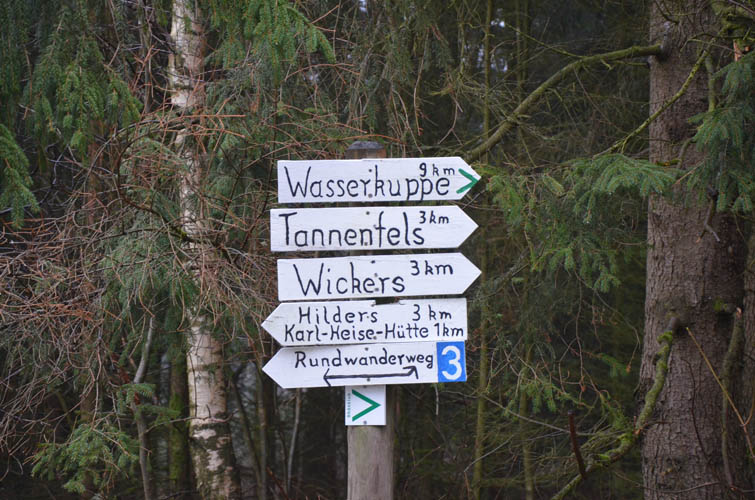
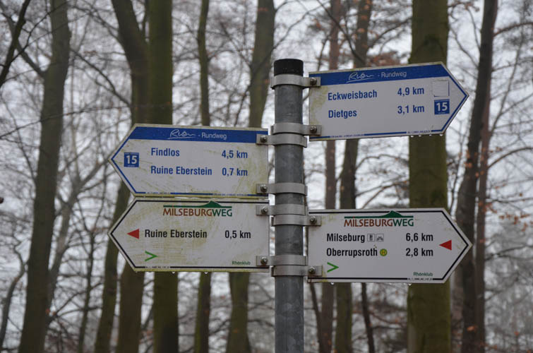
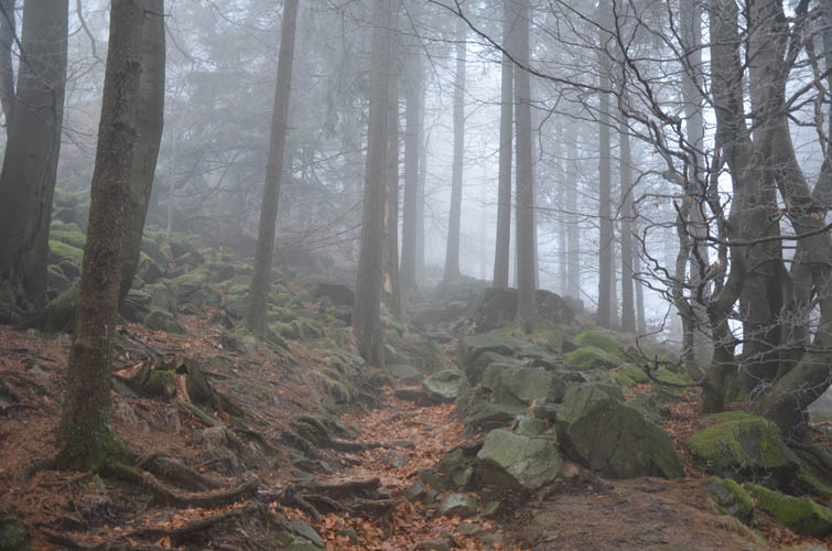
With numerous hiking trails and unmarked tracks in the area, the Milseburg can be approached from almost any direction. From Hilders I chose a loop route that headed west along the Milseburg-Trail to the summit, then followed the Main-Werra-Trail on the way back. Plenty of route variants are possible, but these two trails are easy to follow because they’re so well-marked with signs and trial markers at every turn. Most of the route is on wide paths through dense forests and along rolling open hills, with several ups and downs along the way, which explains the cumulative elevation gain of more than 900 m at the end.
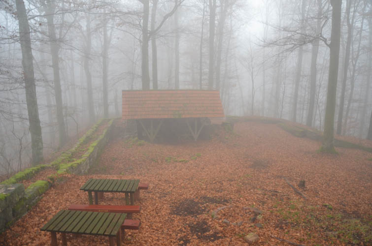
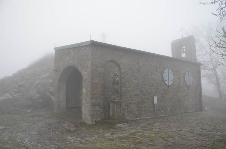
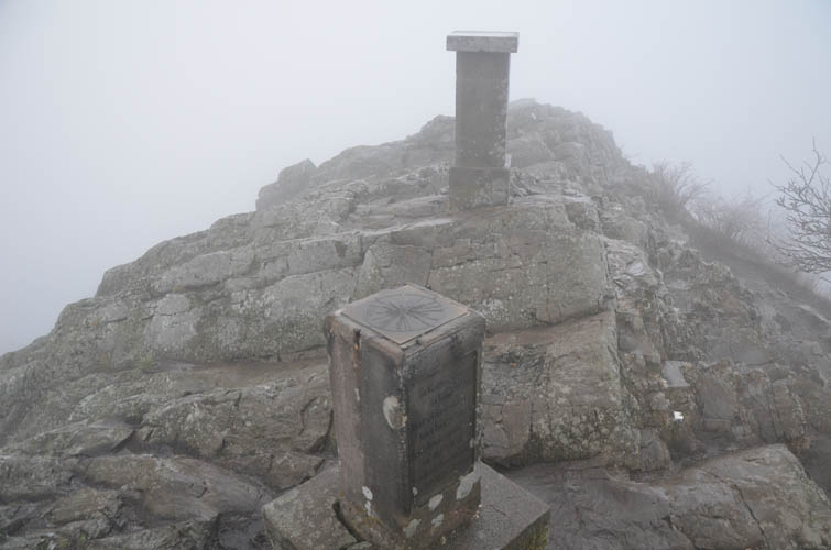
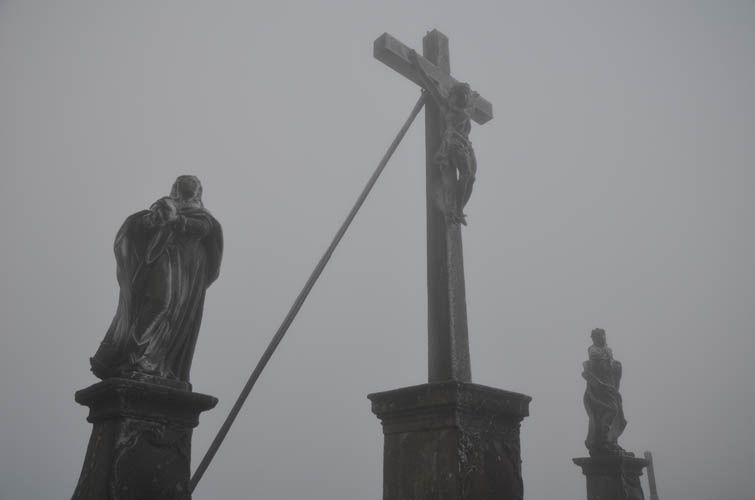
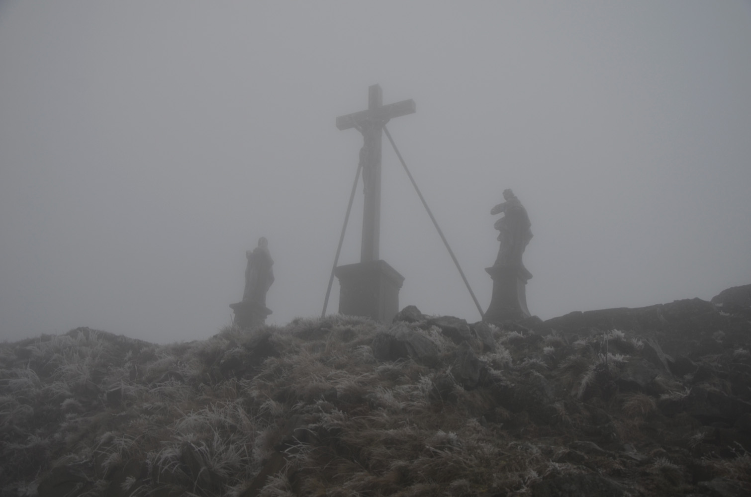
A nice place to stop for a break on the way in is the Tannenfels, a small bump where the remains of an old fortification called Burgruine Eberstein are located. Just before reaching the rocky summit I ran into the first people all day. Despite the cold and poor visibility, dozens of day-trippers had come out to go for a short stroll from the nearby parking lot. The main attraction is the tiny restaurant at the top, which offers hearty home-cooked meals and freshly baked cake. Next to the restaurant – more of a mountain hut really – is a small chapel, the Gangolfskapelle, that dates back to the 15th century. Behind the chapel is a rocky basalt outcrop that requires a short but easy scramble to get to the actual summit, marked by a large cross. The rocks were entirely covered in a thin layer of ice, making the final few metres a very slippery affair. A cold, blistery wind greeted me at the top, with view of nothing but clouds… No wonder there was nobody else up here!
On the return trip along the Main-Werra-Trail I was once again all by myself and quite enjoyed the solitude of the landscape for the last two hours of hiking. Compared to the Milseburg-Trail, the Main-Werra-Trail is slightly shorter with fewer ups and downs, but I enjoyed both of them equally and the whole route makes for a great loop.
|
Elevation: |
835 m (official), 825 m (my GPS) |
|
Elevation gain: |
920 m |
|
Time: |
5 h |
|
Distance: |
22.1 km |
|
Difficulty level: |
Easy hike (Kane), T2 (SAC) |
|
Reference: |
Local maps |
|
Personal rating: |
3 (out of 5) |
DISCLAIMER: Use at your own risk for general guidance only! Do not follow this GPX track blindly but use your own judgement in assessing terrain and choosing the safest route.