Davos area, Switzerland
20 July 2018
Solo
A scenic loop far off the crowds
It never ceases to surprise me how empty the mountains around Davos can be in the middle of summer. The Älpeltispitz, or simply Älpelti, is a good example of an excellent hike that seems to be completely overlooked by the masses, despite being at the doorstep of the town of Klosters, a popular tourist resort. I didn’t meet a single other hiker all day and was the first entry in the summit book in three days.
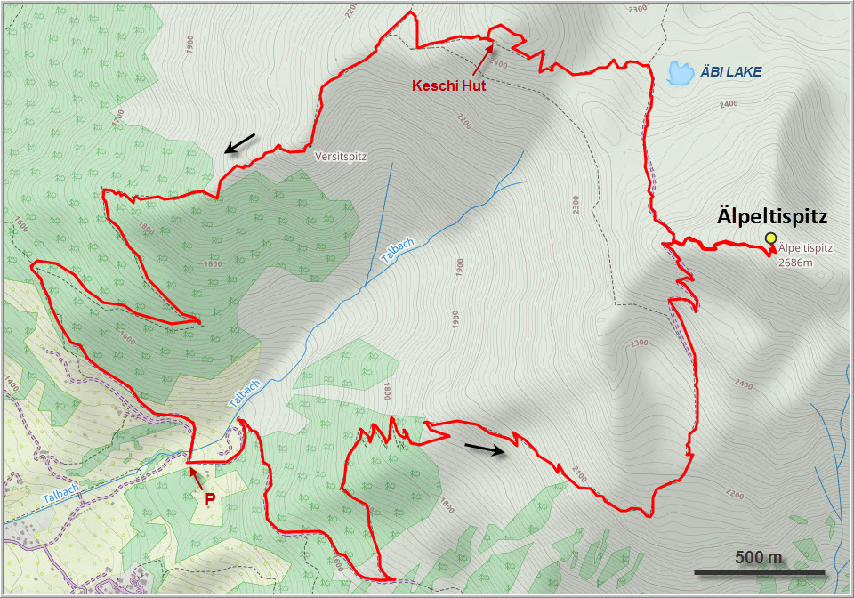
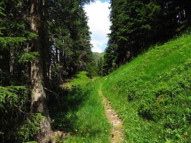
Perhaps part of the reason why this little peak isn’t too popular is because of its unrelentingly steep ascent, no matter which route you take. You can drive up to the small parking lot at Fezi (1430 m elevation), but then it’s basically straight up all the way to the top. The trail goes up in steep switchbacks through forest and meadows, with nice views over Klosters and the Davos valley in the distance. Although the trail is in good shape, it’s apparently not very well-trodden.
About a hundred metres below the summit the main trail reaches the west ridge and then descends again on the east side towards the Äbi Lake (“Äbisee”) and the village of Schlappin. A smaller path turns right and goes directly up to the summit, where several cairns and a big fat summit register await. According to the entries in the book, about three to four parties visit this peak every week.
While I had enjoyed plenty of sunshine and comfortably warm temperatures during my ascent, dark clouds were now moving in fast from nearby Davos to the west, which was already getting rained on heavily. The sound of distant thunder made me cut my summit stay short and dash back down the trail – there was no way I wanted to get caught in a storm high up on this exposed ridge.
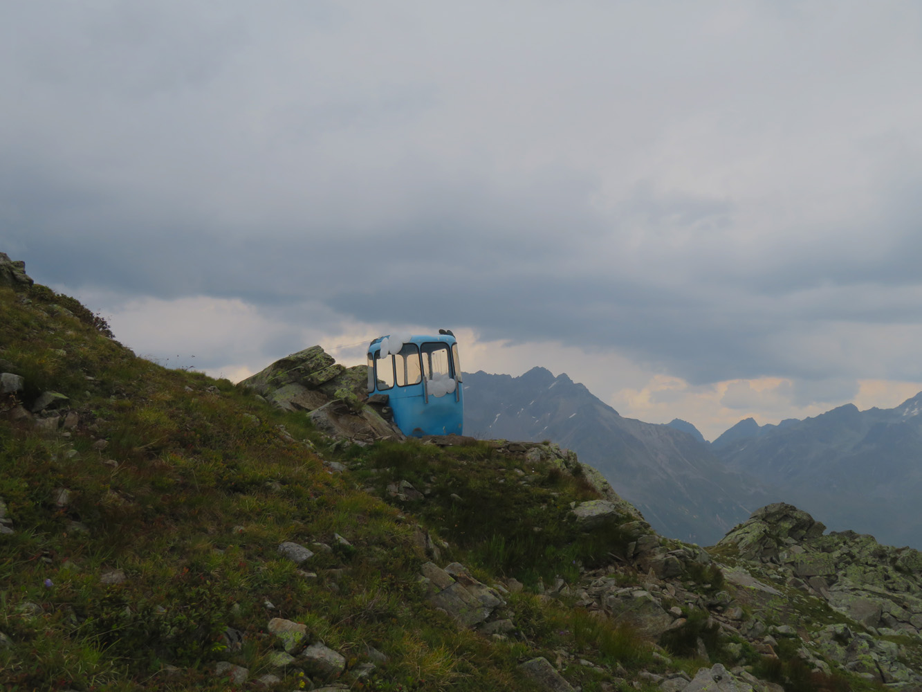
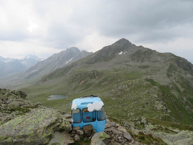
Thankfully, the storm never arrived and all I had to contend with was a light drizzle for the next hour. To add some variety to my trip I decided to head down an alternate route along the Keschigrat and past the Äbi Lake. Although this meant losing and regaining a little bit of elevation, it was a really pleasant hike in a very scenic area. The surprise of the day was a little blue ski gondola sitting all by itself on the side of the ridge overlooking the day. Upon closer inspection it turned out to be a fully functioning outhouse – and what a view from here!
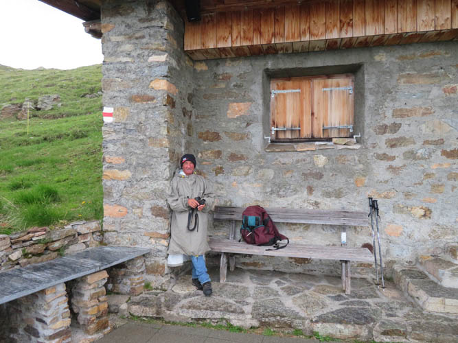
Perhaps the highlight of my day was running into an Italian shepherd at the Keschi hut (a hut maintained by an outdoor club but closed to the public). A bit reserved at first when I approached him, he turned out to be a very affable fellow who seemed happy to chat. He said he lives in southern Italy in the winter and comes to Switzerland every summer from June to October to look after a herd of about 800 sheep with his two guard dogs. What a life that must be, so far removed from what we are used to!
The remainder of the descent along the ridge was again very steep, probably even steeper than the trail I had taken on my way up. Because of this I’d probably chose a clockwise direction if I ever wanted to do this loop again, so you can get the steeper parts behind you on the way up. The whole trip only took me five hours, but that’s because I hurried parts of the way down under the threat of getting stuck in a storm. A more reasonable time estimate for this loop would probably be somewhere in the 7-8 hour range.
| Elevation: | 2685 m (official), 2673 m (my GPS) |
| Elevation gain: | 1400 m |
| Time: | 5 h |
| Distance: | 12.7 km |
| Difficulty level: | Easy (Kane), T2 (SAC) |
| Reference: | Local maps |
| Personal rating: | 3 (out of 5) |
DISCLAIMER: Use at your own risk for general guidance only! Do not follow this GPX track blindly but use your own judgement in assessing terrain and choosing the safest route.
Despite an excellent approach trail, the route is completely deserted.
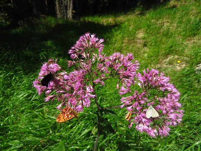
Pretty flowers and butterflies along the way.
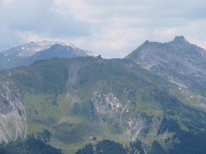
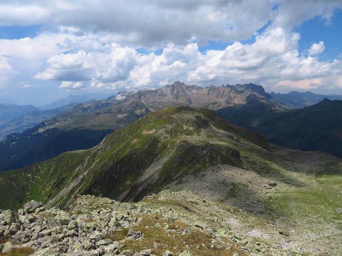
It’s hazy today and clouds are moving in. Over to the NW are some peaks and ridges built up with gondola stations. The broad mountain in the background on the left is Weissfluh, the craggy peak on the right is called Casanna.
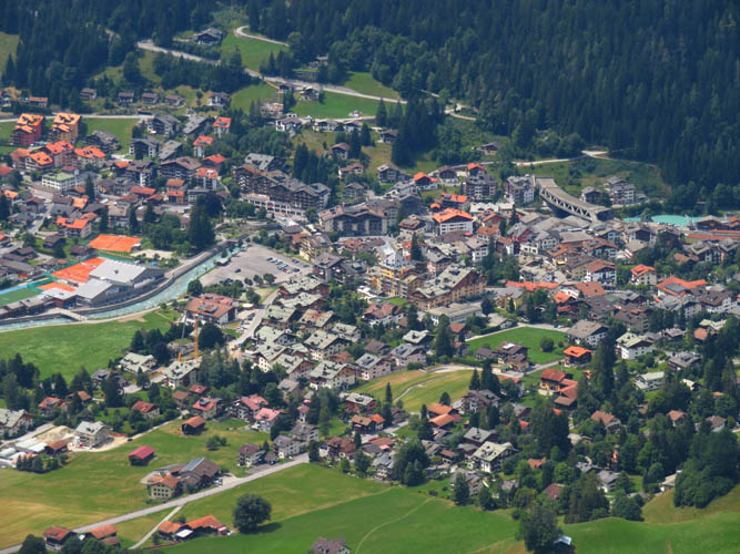
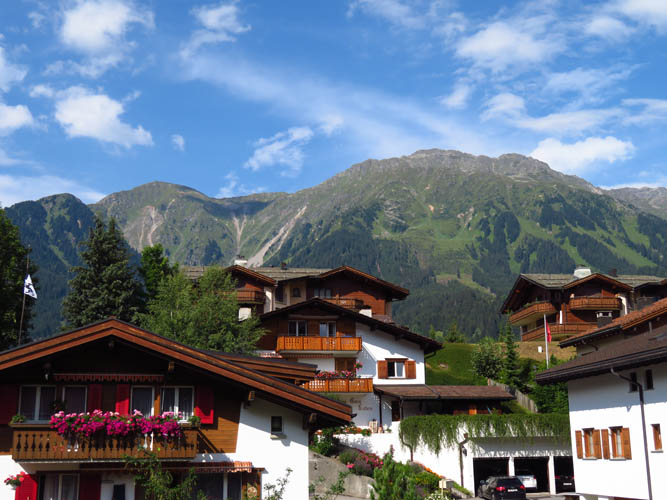
The town of Klosters in the valley below.
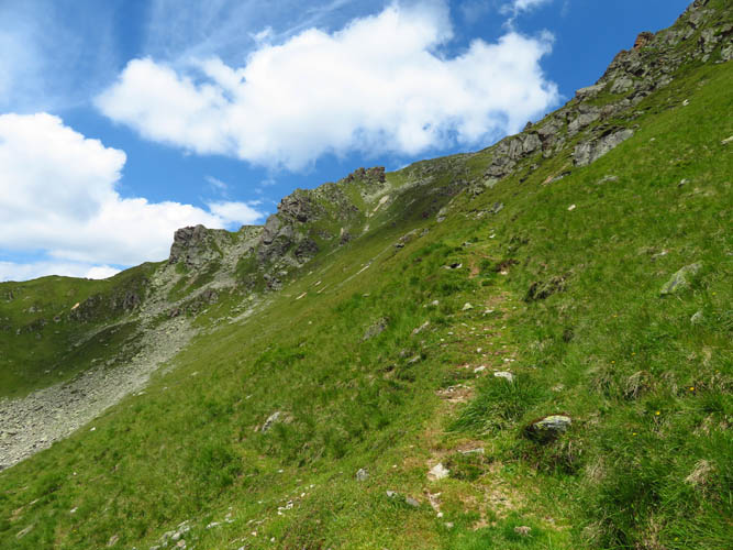
The trail is easy to follow.
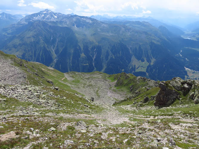
A look back down the upper slopes. The trail covers lots of elevation gain!
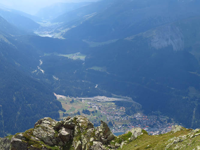
Looking west into the Davos valley.
The Pischahorn is an easy and very enjoyable hike one ridge over SW of here.
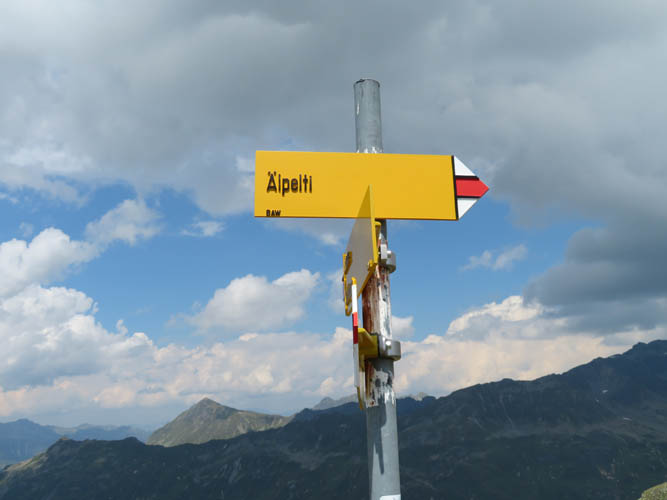
On the right track: a trail marker on the main ridge.
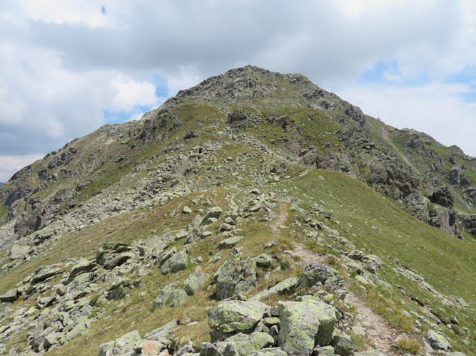
Once on the main ridge, it’s a short hike/easy scramble from here to the summit of the Älpeltispitz.
I still have some sun left…
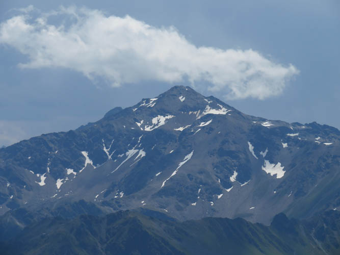
A zoomed-in view of a peak called Madrisahorn (2826 m) a few km to the north.
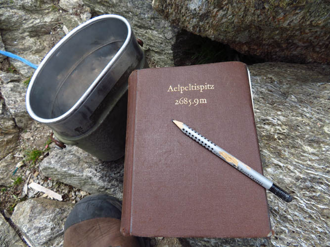
Älpeltispitz summit register – a thick book kept in an old Swiss army bottle holder.
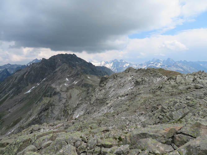
Views from the summit to the east. The peak under the dark clouds is called Schildflue (2887 m).
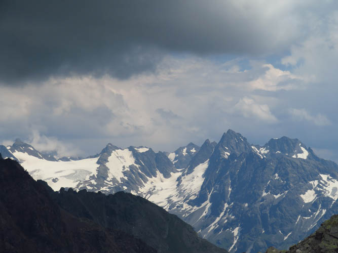
As the clouds move in, the distant snow-covered peaks take on a more dramatic look.
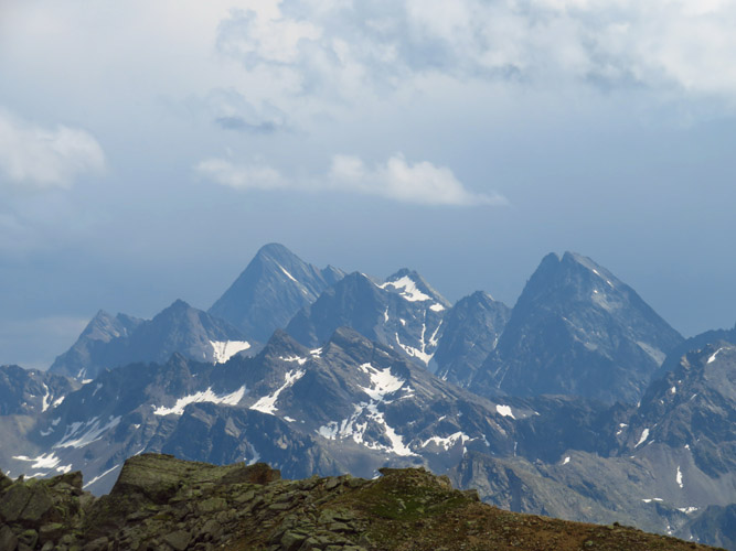
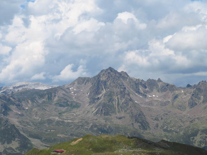
Piz Linard (3410 m) on the left, Plattenhörner (3220 m) on the right.
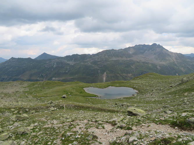
Äbi Lake
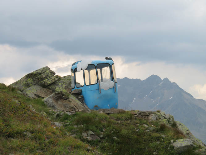
The famous outhouse near the Keschi Hut.
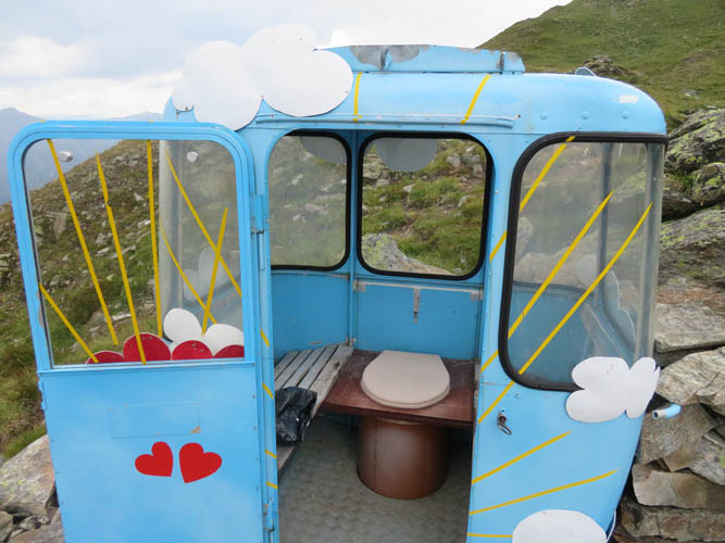
Fully functioning and quite spacious with extra seats!
Toilet with a view
A friendly shepherd at the Keschi Hut.
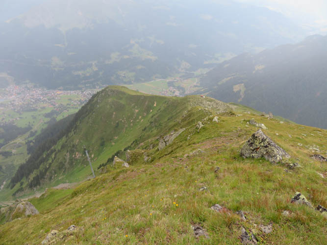
Heading down the steep grass ridge towards Klosters.
The sun is out again: a look back at the Älpeltispitz from Klosters town.