Muhayil, Saudi Arabia
5 April 2019
Solo
Small volcanic hill overlooking Muhayil
After yesterday’s sweaty and dusty hike up Jabal Hada, it was time to take a rest and relax for a day. My plan was to sleep in and hang out at my comfortable hotel in Muhayil, eat some good food, and leisurely wander around the city a bit. But when I woke up in the morning it was 7 am – I was so used to getting up at this time every day that I just couldn’t sleep in. I felt refreshed and unexpectedly energetic, so why not head out for a bit of morning exercise first!?
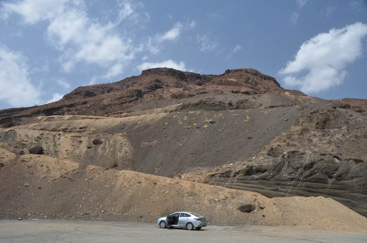
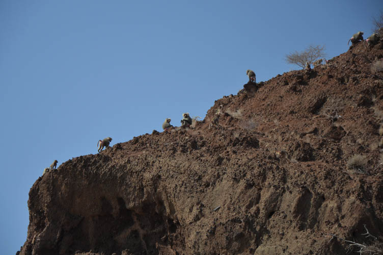
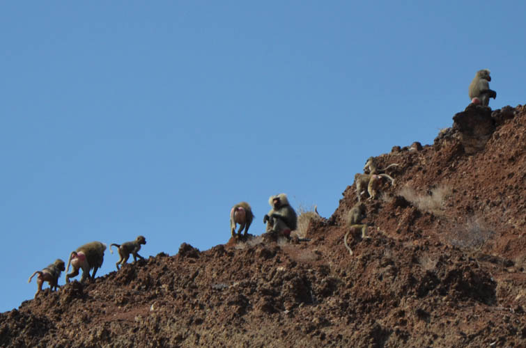
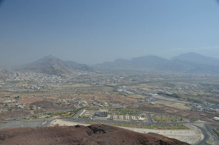
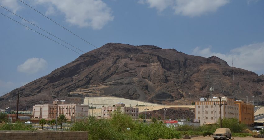
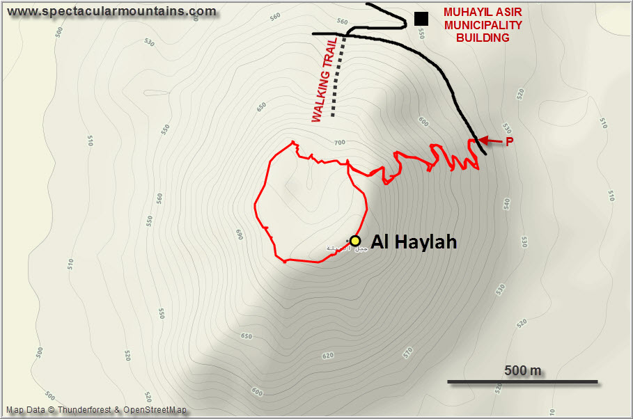
Al Haylah, a small hill of red volcanic rubble overlooking the city, was just right for this purpose. After my standard Saudi breakfast of omelette, bread and coffee, I drove some 15 minutes south to the Muhayil Asir Municipality building and parked in a big paved lot just above the compound at the foot of the hill. The baboons were already out and about scavenging whatever they could find in the big rubbish bins on the lot, and I knew I’d have these fellows around me up on the mountain as well.
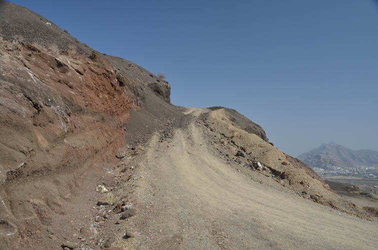
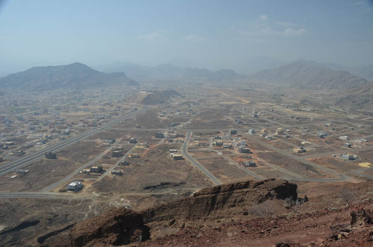
There is a walking trail complete with lamp posts that goes a short distance up the main gully on the north side, but it ends in steep cliffs and is therefore not an option if you want to get to the top. A few hundred metres further southeast of this trail is an old track – now blocked by a berm – that leads all the way up. Although it was already 10 AM, there was only one other fellow around, otherwise the big parking lot was deserted.
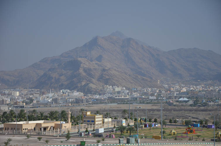
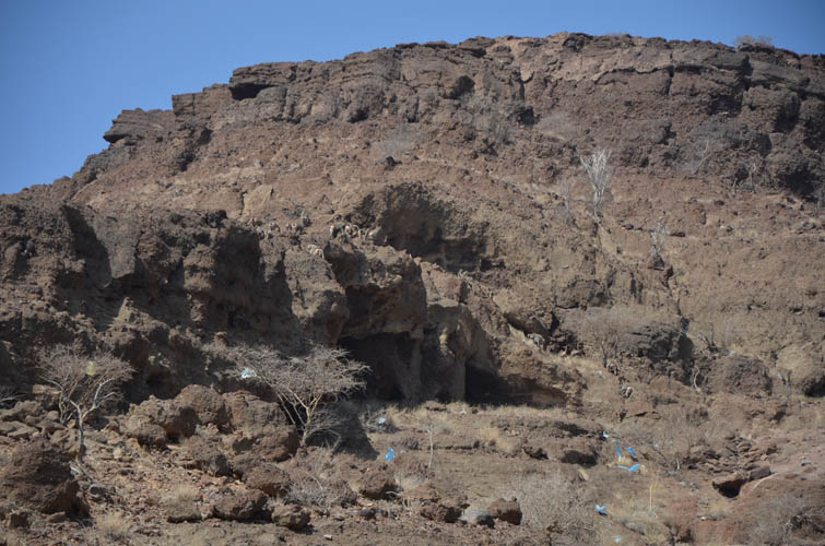
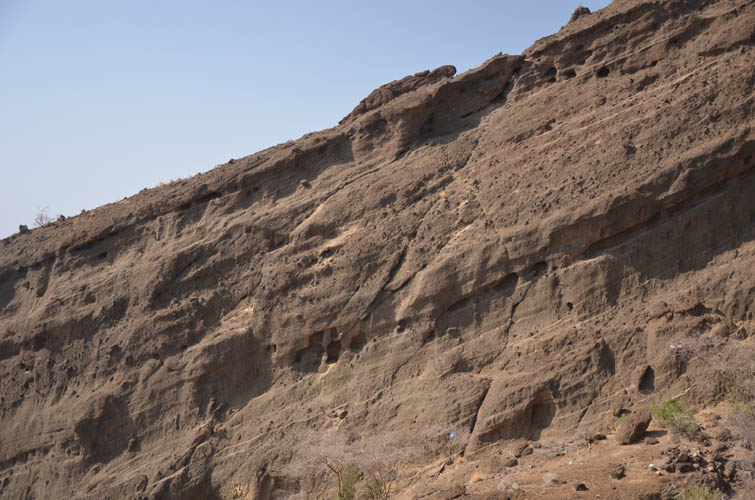
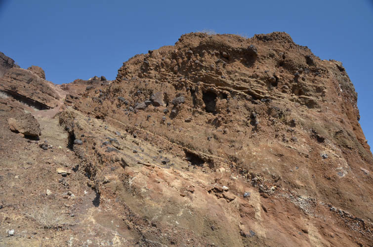
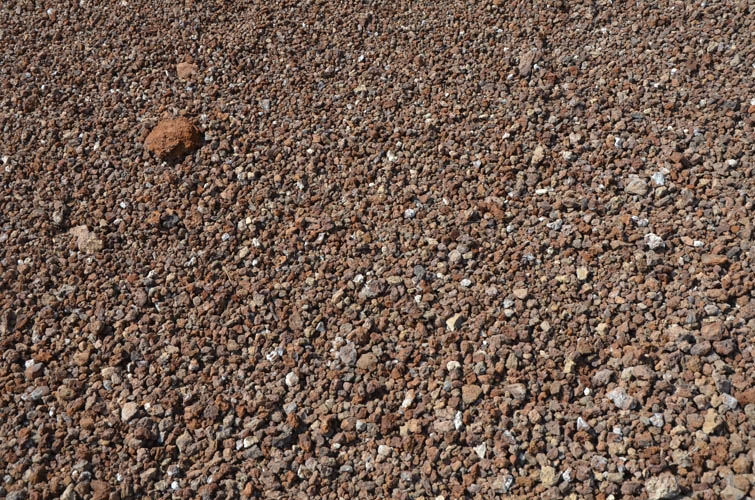
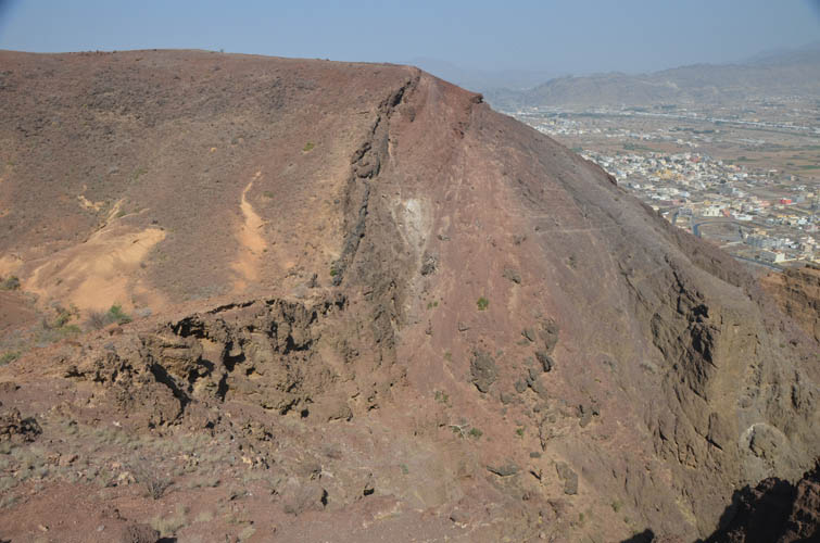
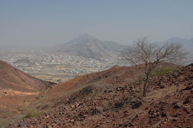
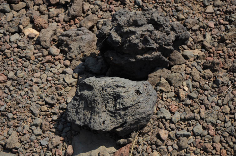
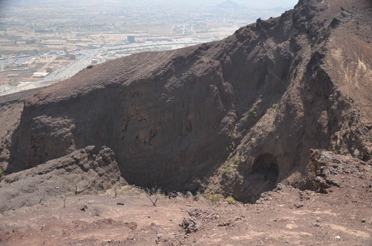
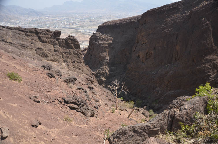
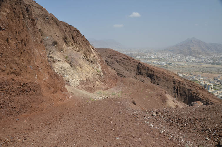
The entire hill is basically a pile of red volcanic rubble. On its flanks you can clearly see layers of sediments – pyroclastic deposits – that have accumulated over time, with bigger chunks embedded in the fine volcanic sand. Small ravines and gullies with steep sides cut into the rock, forming interesting cliffs and pillar structures. The rubble track appears to be rarely used but only takes about half an hour to follow to the top of the hill, which has a gently undulating crater. A diminutive cairn marks the summit. Lovely views over Muhayil and the surrounding mountains from here!
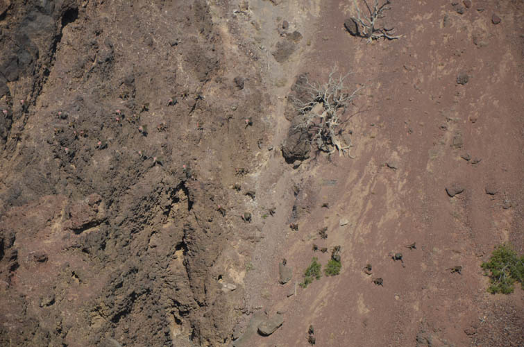
Instead of heading straight back, I made a circle loop around the rim of the crater (it’s more of a mellow dip really), dropping into a small valley in the middle that forms the upper extension of the gully with the walking trail below. Several cliffs, some unseen from above, prevent a direct short-cut down this gully so I walked back up to the rubble track and followed it down to my car.
A nice short outing with interesting geological features and great views over the city of Muhayil!
|
Elevation: |
783 m (my GPS) |
|
Elevation gain: |
280 m |
|
Time: |
1.5 h |
|
Distance: |
3.4 km |
|
Difficulty level: |
Easy (Kane), T3 (SAC) |
|
Reference: |
No info was available to me prior to trip |
|
Personal rating: |
3 (out of 5) |
NOTE: This GPX track is for personal use only. Commercial use/re-use or publication of this track on printed or digital media including but not limited to platforms, apps and websites such as AllTrails, Gaia, and OSM, requires written permission.
DISCLAIMER: Use at your own risk for general guidance only! Do not follow this GPX track blindly but use your own judgement in assessing terrain and choosing the safest route. Please read the full disclaimer here.