Calgary Foothills, AB, Canada
14 December 2021
Solo
Unexciting winter hike
This is another one of those foothills hiding under the guise of the title “mountain”. Similar to other minor bumps like Mount Barwell, Green Mountain or Mount McNabb, Mount Dyson is really just an unexciting walk through the forests of eastern Kananaskis. On the plus side there is no bushwhacking to speak of and it’s not a bad choice as a winter workout.
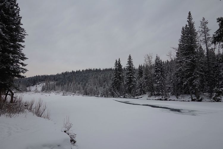
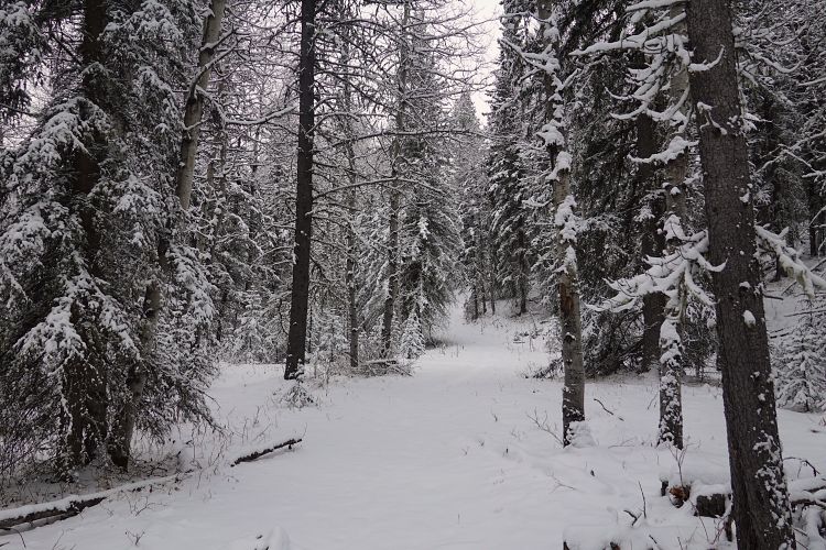
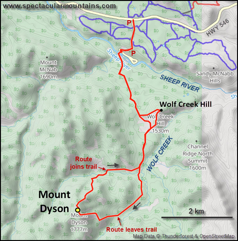
Doing this trip during a cold spell in the winter makes sense as you can just walk across the frozen Sheep River, which needs to be crossed if you’re approaching from highway 546 from the north. I followed the main trail on the other side with a fresh layer of snow (15-20 cm) slowing me down a bit but not enough to justify putting on my snowshoes that I was lugging along just in case. Having a GPS was useful for finding the right turn at a couple of intersections.
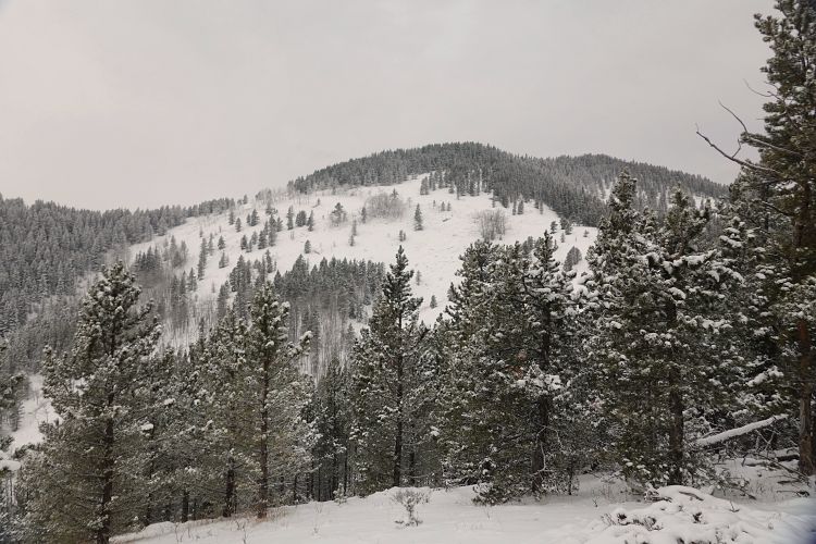
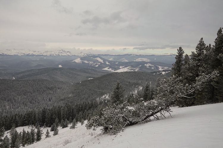
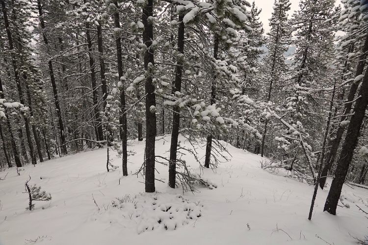
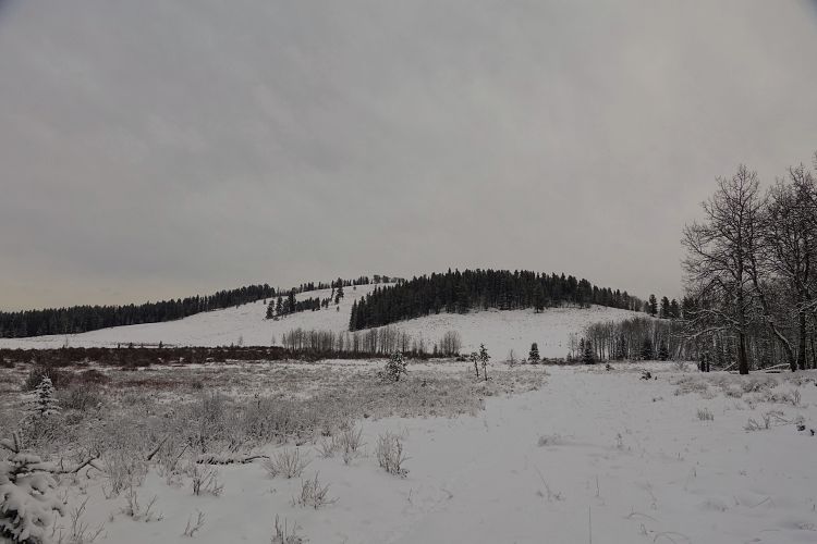
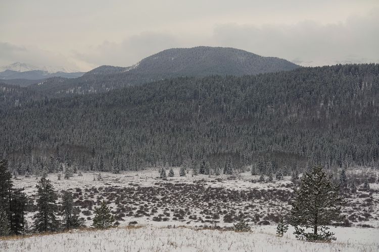
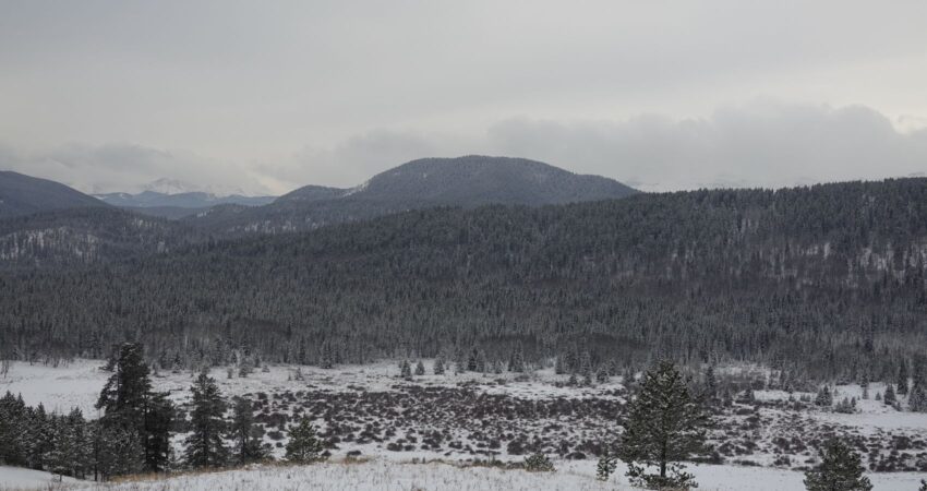
Unsurprisingly, the trail was unbroken and I didn’t see another soul all day. After following the trail for a while, I headed straight into light forest to head up a rib coming down the east side of Mount Dyson. There were several large clearings higher up with views of Blue Ridge and Channel Ridge, which are also largely treed. There was less snow in the forest than on the open slopes, so I stuck to the edge of the trees and continued all the way to the summit.
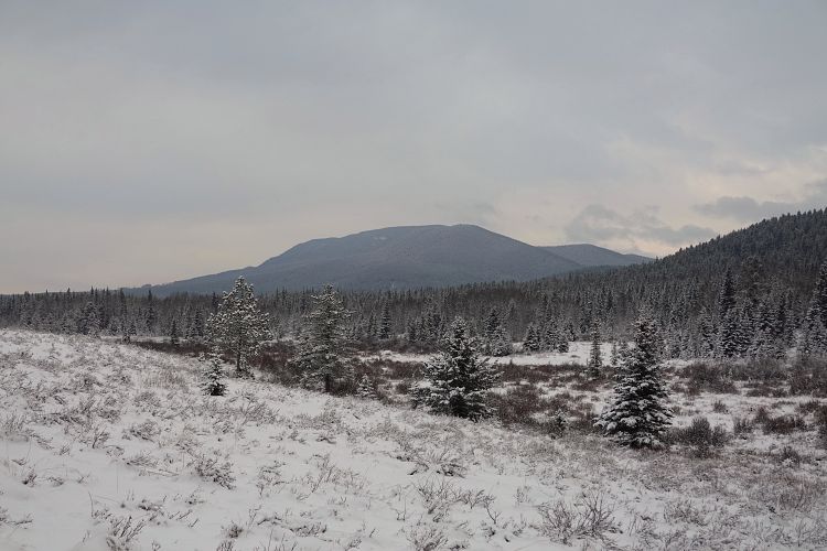
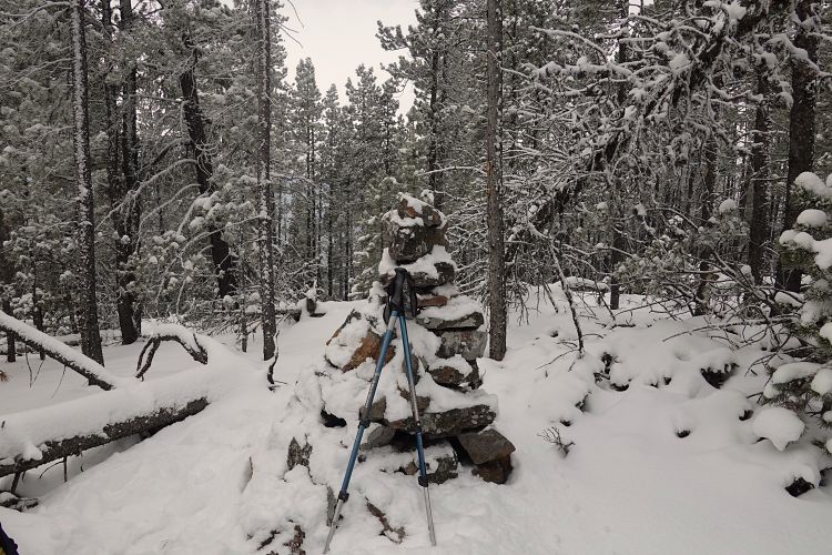
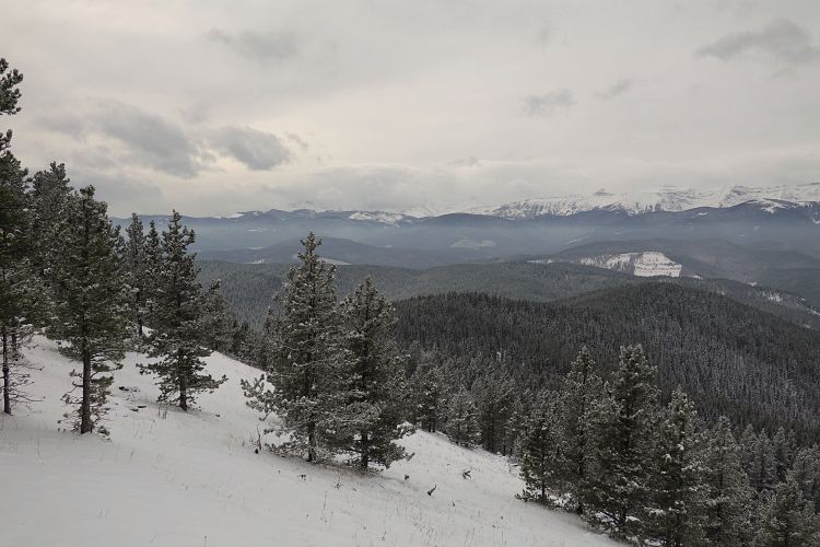
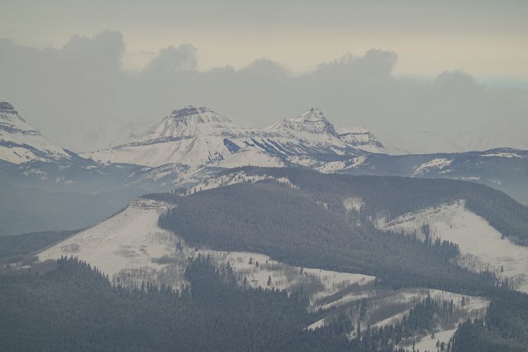
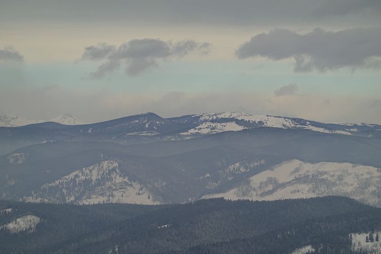
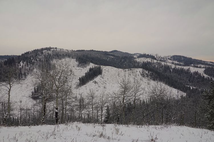
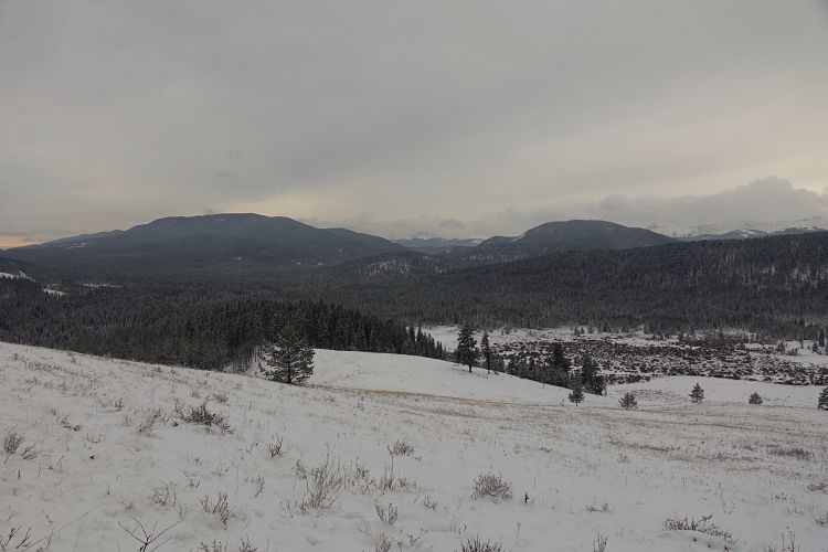
I knew from Bob Spirko’s and Sonny Bou’s reports that I shouldn’t expect anything but a cairn in the trees at the summit, but a short distance away there is an opening that offers decent views of the Front Ranges. Bluerock Mountain, Shunga-la-she and Junction Mountain are directly west of here, with minor bumps like Green Mountain and Windy Point Ridge in the surrounding foothills.
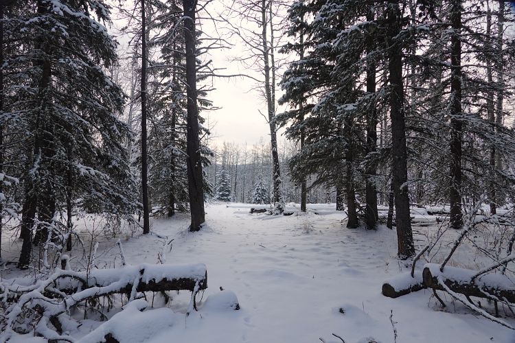
It was a cloudy and very chilly day (-17 C), so I had no choice but to quickly get on with my hike to keep myself warm. For the descent I went down the NE rib which was all light forest and easy to navigate. I crossed a creek in the valley and found a trail on the north side, which took me back to my ascent route from the morning.
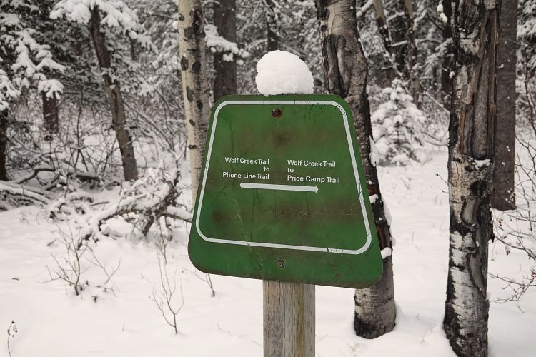
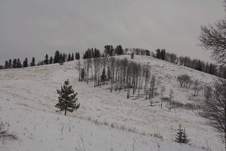
On my way back I also tagged on Wolf Creek Hill, which is really just a minor rise right by the main trail across from a marshy area. It’s only a small detour and at least the terrain here is mostly open.
This is definitely a trip I’d reserve for the winter months – and it’s probably one you do more for the exercise, not the scenery. Note that I parked right by highway 546, not down by Sandy McNabb campground, because the road hadn’t been cleared of snow yet. If you start your trip down by the campground you’ll shorten it by about 1.6 km.
|
Elevation: |
1782 m |
|
Elevation gain: |
780 m |
|
Time: |
5.0 h |
|
Distance: |
16.7 km |
|
Difficulty level: |
Easy (Kane), T2 (SAC) |
|
Comments: |
Requires river crossing. |
|
Reference: |
Daffern, Spirko |
|
Personal rating: |
2 (out of 5) |
NOTE: This GPX track is for personal use only. Commercial use/re-use or publication of this track on printed or digital media including but not limited to platforms, apps and websites such as AllTrails, Gaia, and OSM, requires written permission.
DISCLAIMER: Use at your own risk for general guidance only! Do not follow this GPX track blindly but use your own judgement in assessing terrain and choosing the safest route. Please read the full disclaimer here.