Kananaskis, AB, Canada
12 September 2017
Solo
Excellent ridgewalk with good approach and mediocre descent
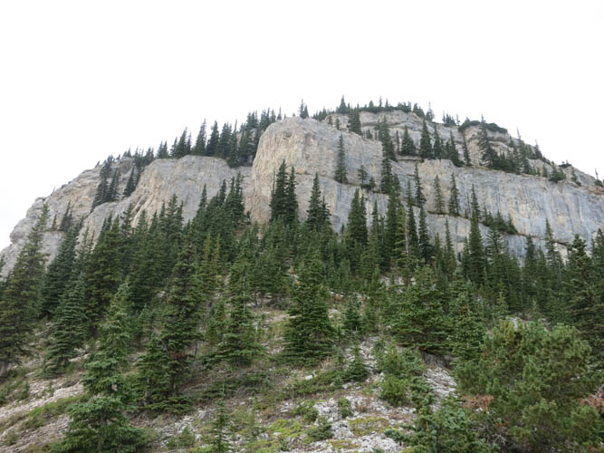
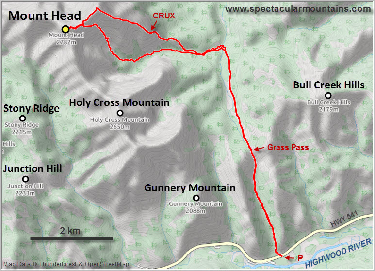
Mount Head is a prominent Kananaskis peak just north of Holy Cross Mountain in the Highwood area. It’s by far not as popular as its southern neighbor and other destinations nearby, probably because of the relatively long approach. Unjustifiably so, I think – the approach is excellent and the ridgewalk is a lot of fun, including the difficult “crux” section. The only thing I didn’t enjoy were parts of the SE descent route, which can be bushy and confusing.
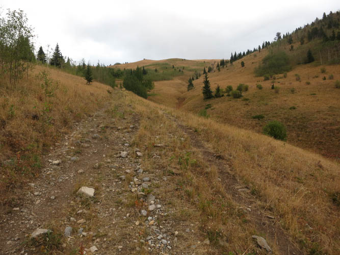
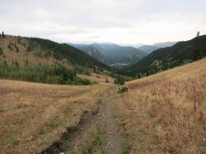
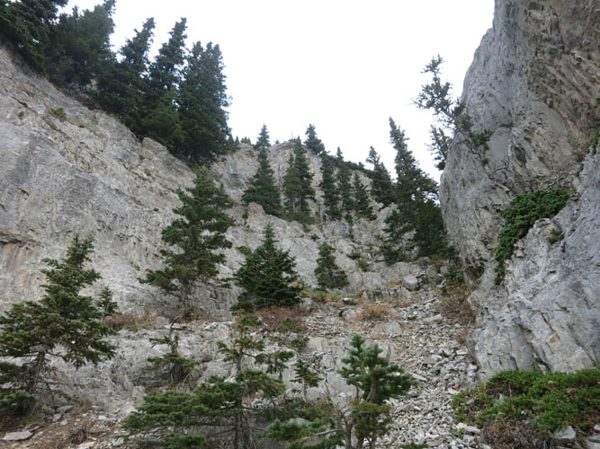
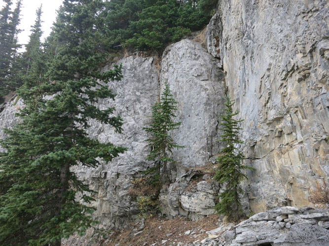
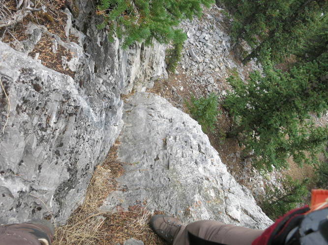
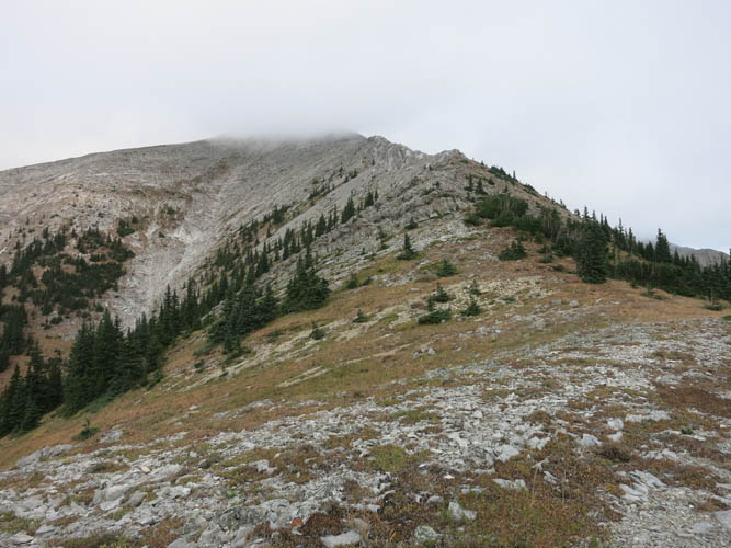
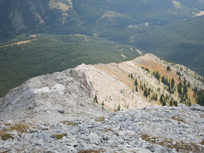
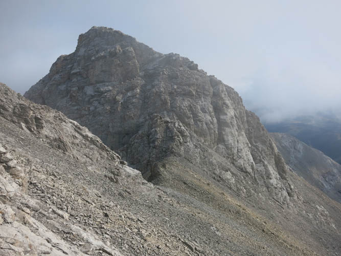
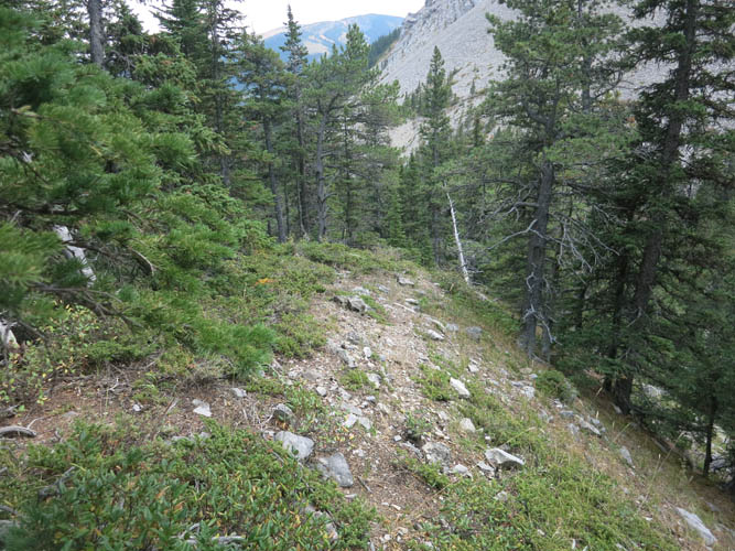
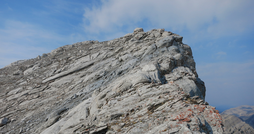
Grass Pass Trail provides an easy way to get to the base of the east ridge, covering the entire approach for the first 5 km. I then left the trail and headed up meadows and light forest to gain the forested east ridge. I really enjoyed this ridge! The crux is a short slanted weakness in a cliffband that presents itself on climber’s left just after you pass a broad gully still just below timberline. It is perhaps 4-5 m in height and has sufficient holds to place this more in the lower part of difficult in my opinion. Needless to say this all depends on conditions: with snow and/or ice, it might be very difficult or downright dangerous.
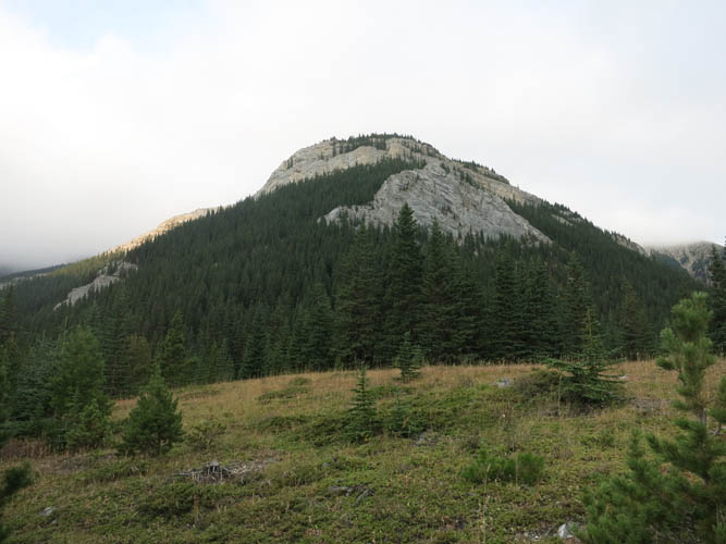
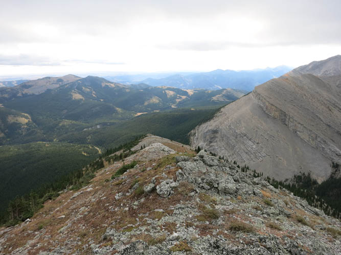
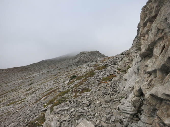
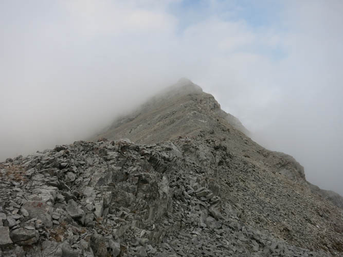
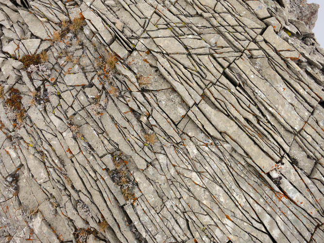
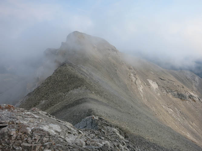
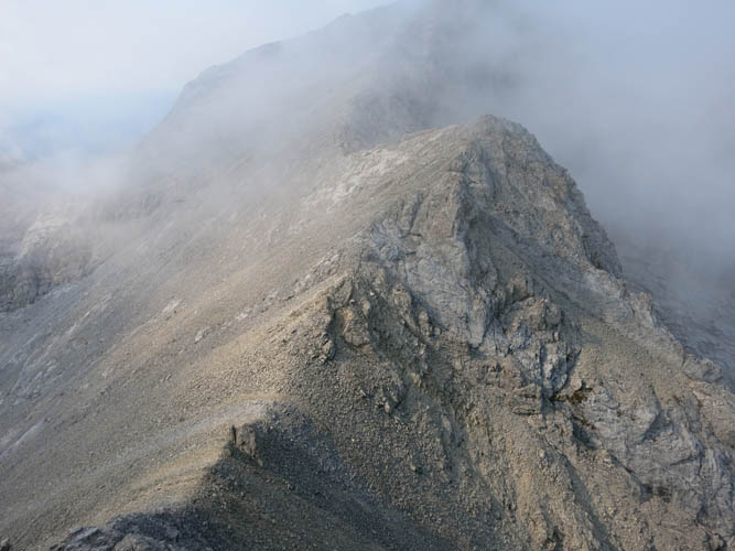
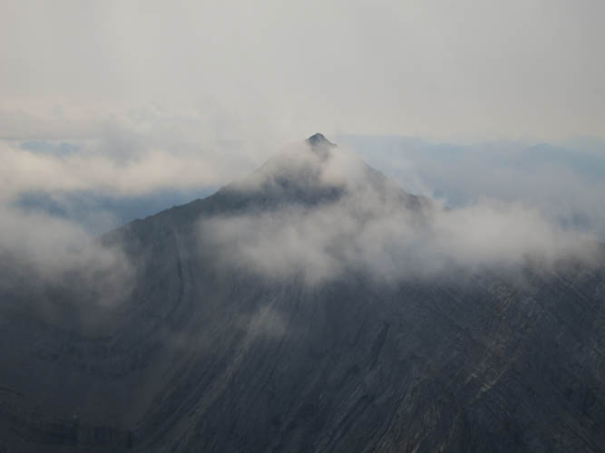
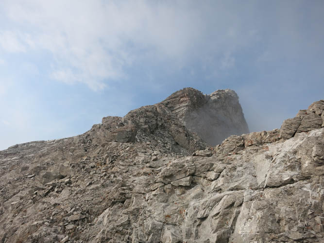
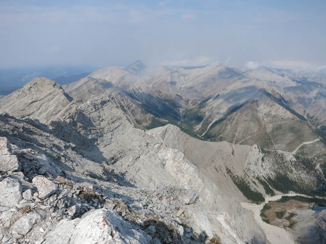
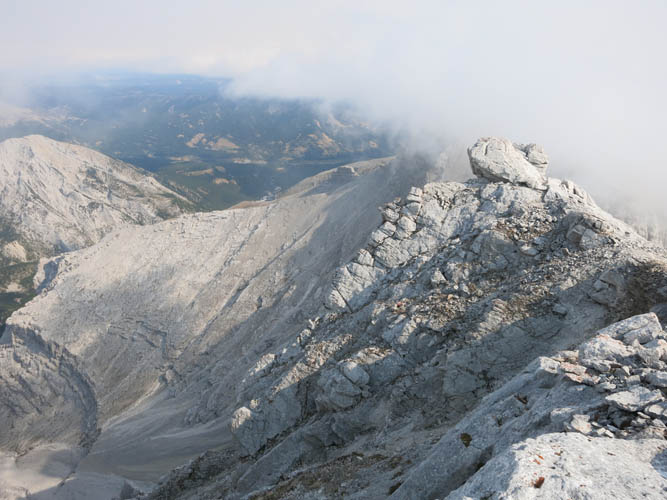
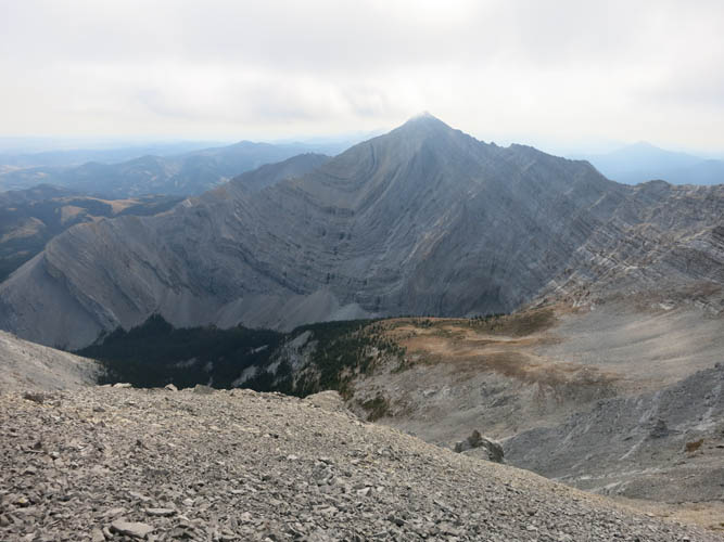
After I had passed the crux there were no more difficulties to speak of. It was a very enjoyable extended ridgewalk with the odd bit of scrambling here and there. Dense fog moved in when I reached a small subpeak which I thought was the summit, before realizing that I still had a km to go further southwest according to my map. By the time I was standing on the true summit the clouds had thankfully cleared up a bit, allowing me to enjoy vistas of the craggy ridgelines and heavily folded strata that are so typical of this area.
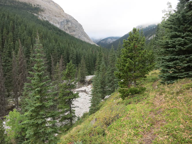
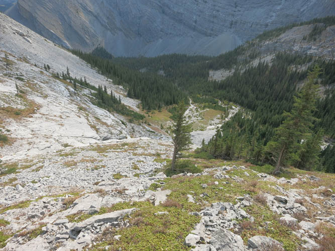
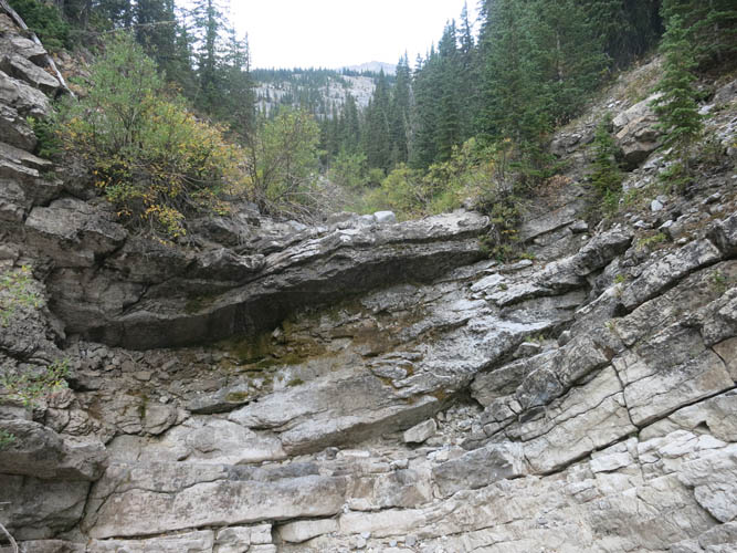
The descent was a whole different game. Initially I had no trouble finding the correct drainage down into the little valley between Mount Head and Holy Cross Mountain. Once I reached treeline, however, the drainage became quite confined and bushy. I alternated between scrambling inside the complex (but dry) creekbed with lots of overhangs and bushwhacking on the side, eventually sticking to skier’s left of the creek where it seemed the bush was easiest. Further down the forest became easier to traverse and I even found a piece of flagging or two!
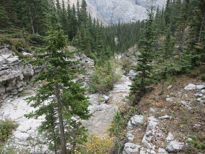
At some point after a few hundred metres the treed slope I was on spat me out in the creek again, where a faint winding path took me back to my ascent route. All that was left now was a relaxing stroll on the excellent rail via Grass Pass back to the highway. Great trip!
|
Elevation: |
2772 m (my GPS) |
|
Elevation gain: |
1840 m |
|
Time: |
8.0 h |
|
Distance: |
20.7 km |
|
Difficulty level: |
Difficult (Kane), T5 (SAC) via east ridge |
|
Reference: |
Nugara |
|
Personal rating: |
4 (out of 5) |
NOTE: This GPX track is for personal use only. Commercial use/re-use or publication of this track on printed or digital media including but not limited to platforms, apps and websites such as AllTrails, Gaia, and OSM, requires written permission.
DISCLAIMER: Use at your own risk for general guidance only! Do not follow this GPX track blindly but use your own judgement in assessing terrain and choosing the safest route. Please read the full disclaimer here.