Banff, AB, Canada
11 July 2020
With Kevin, Richard & Trevor
Really enjoyable Banff scramble without the crowds
Mount Brewster really surprised us. This used to be a rarely ascended peak but after inclusion in Kane’s new edition of Scrambles in the Canadian Rocky Mountains it does see more traffic now. Still, compared to neighboring Cascade Mountain this peak is far from crowded and chances are you’ll have the area all to yourself. After reading So’s and Vern’s trip reports, we thought for sure we were going to have to do some serious routefinding and we mentally prepared ourselves for getting lost as well. In the end we had an absolutely fantastic day and found the “Kane route” perfectly straightforward.
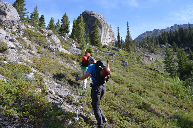
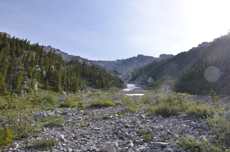
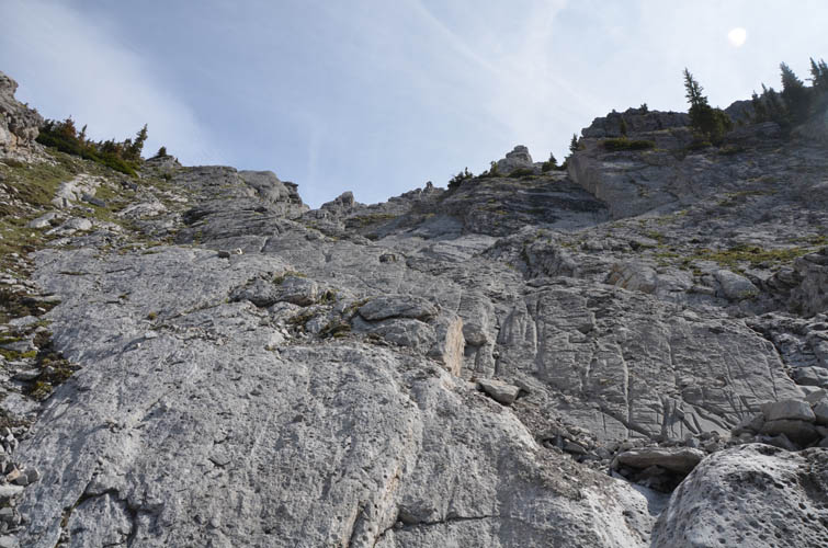
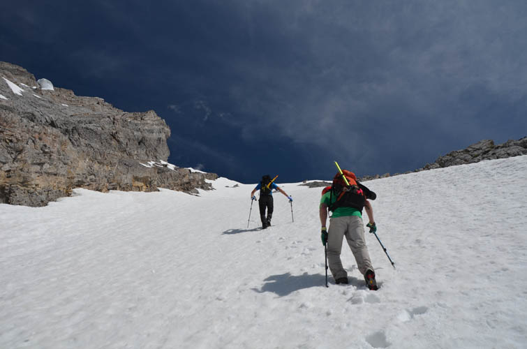
The day starts with a long approach from the Norquay ski resort parking lot along excellent trails to Forty Mile Creek, which is followed for about 3.5 km to the Mount Cockscomb Campground Fm 10. We turned right here, into the forest, and after half an hour of light bushwhacking emerged on Brewster’s open southwest drainage. The route isn’t done often enough for there to be a trail but the terrain is easy and it’s a gorgeous area.
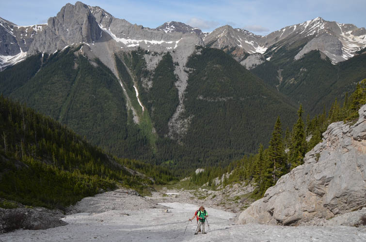
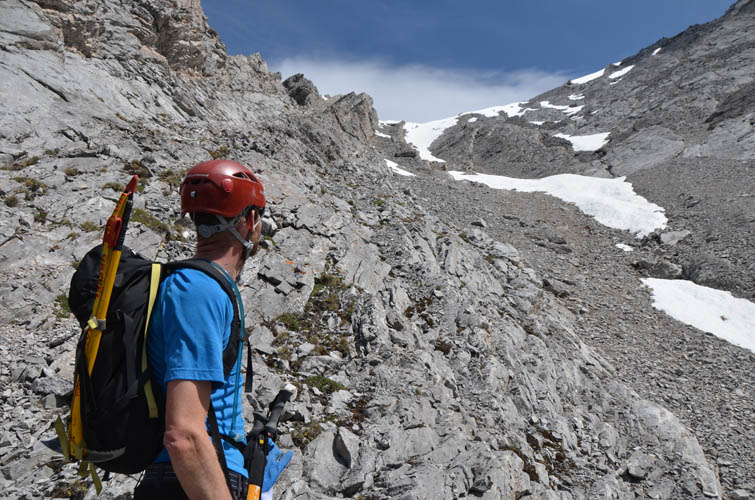
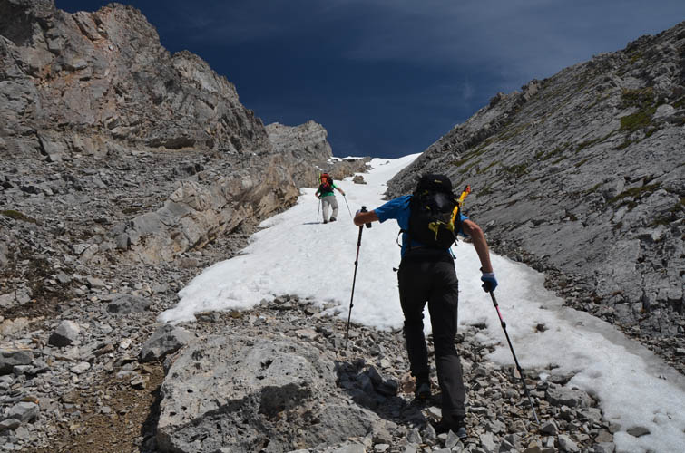
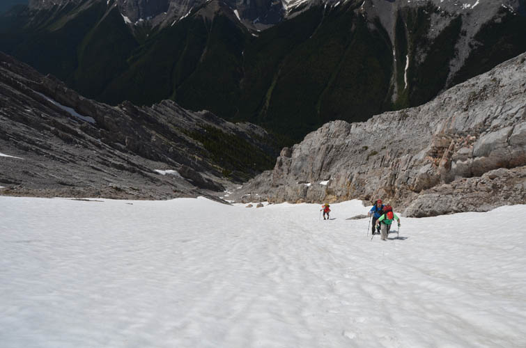
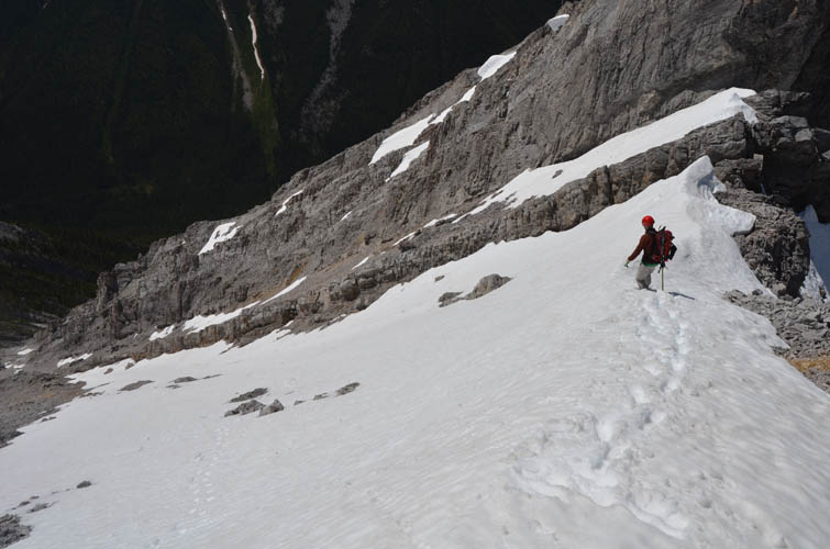
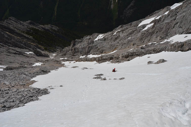
Climbing this mountain relatively early in the summer (but not too early!) has the advantage of being able to tramp up the snow patches that remain in parts of the drainage. This was a huge time and energy-saver for us and made going up – and especially plunging down – so much more fun!
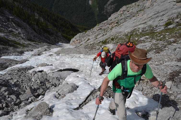
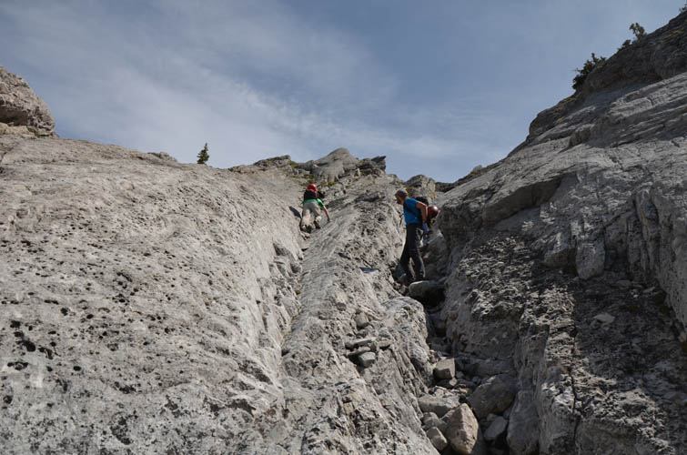
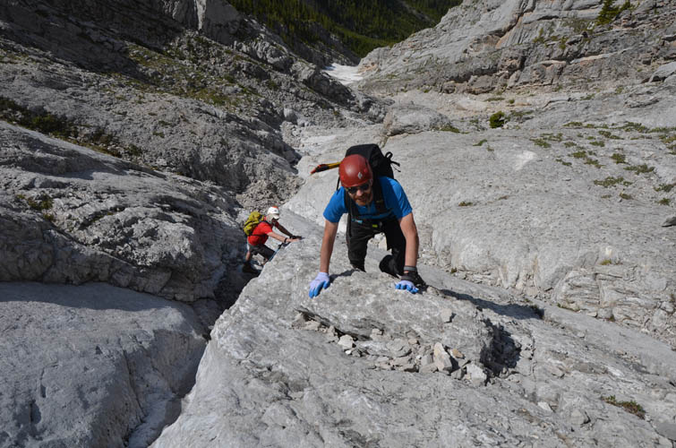
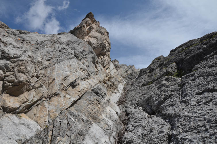
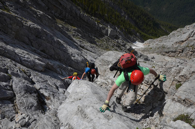
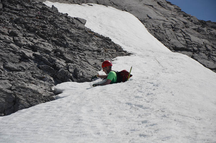
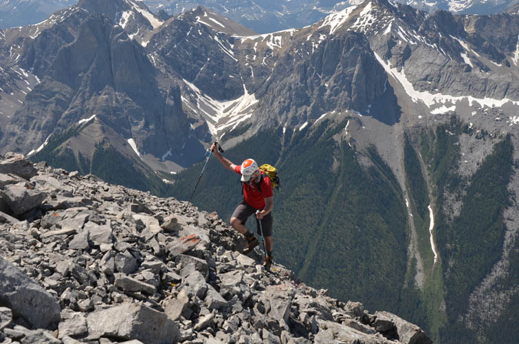
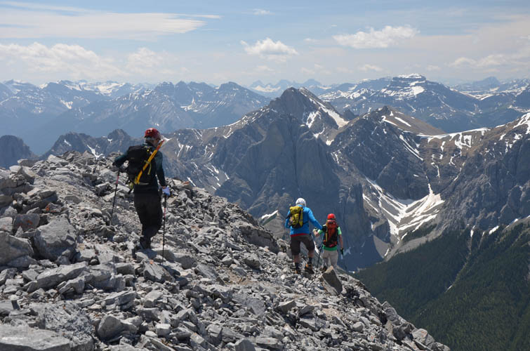
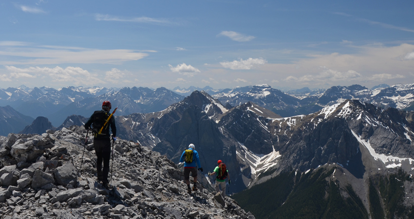
The “crux” is the only point where sticking to the correct turn is important: Just past the treed “island” that Kane talks about in his guidebook, where the drainage makes a lazy left turn and narrows higher up, there is a small rocky gully that joins the drainage from above on climber’s right. This is the point to go up the rocky gully (moderate scrambling), or bypassing the initial steep part of the gully on grassy ledges to climber’s left (easy to moderate). I think the rocky gully is definitely the way to go, at least on the ascent, as the scrambling here is superb and the rock is solid. The gully soon widens and turns into a bigger drainage that is easily followed to the west ridge from where it’s a short easy scramble to the summit.
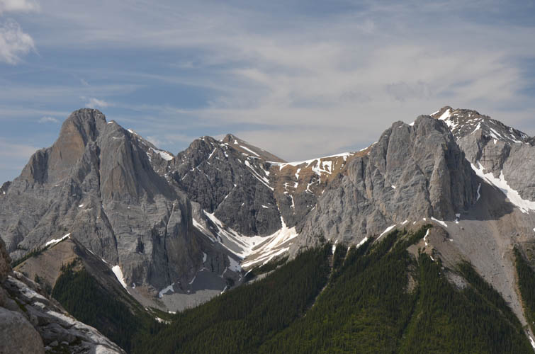
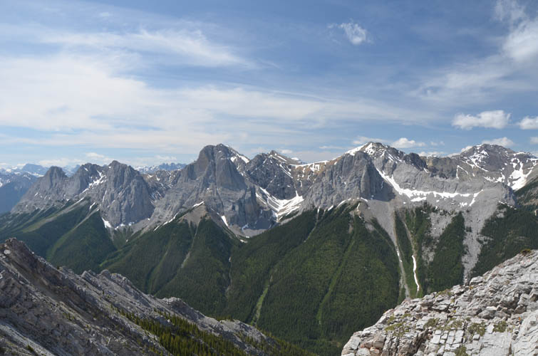
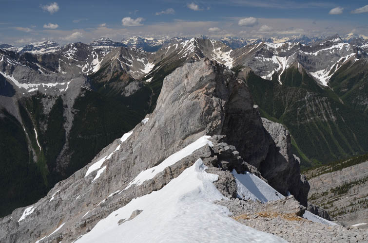
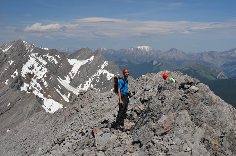
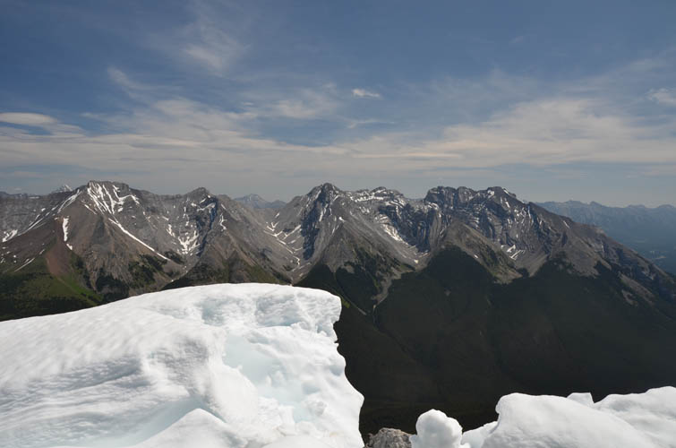
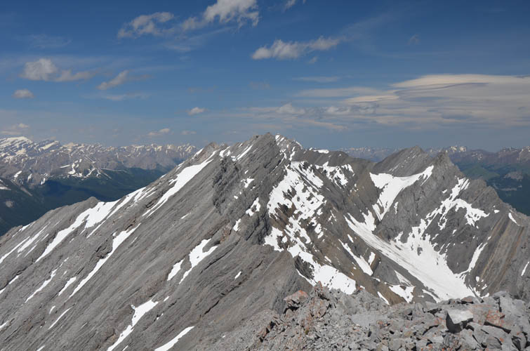
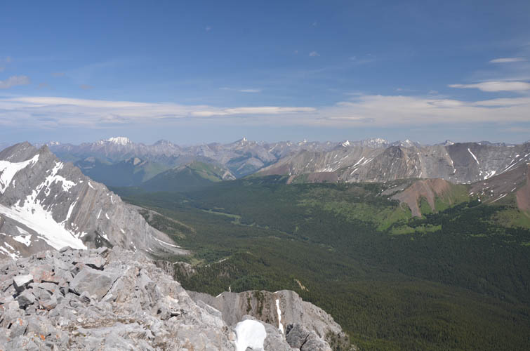
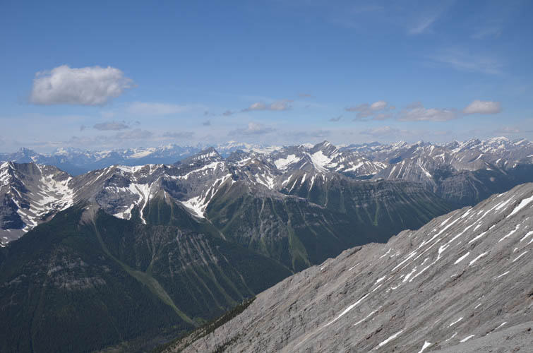
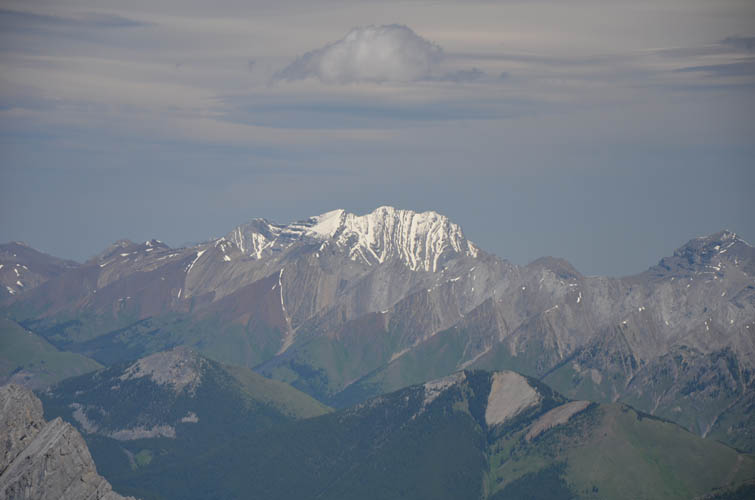
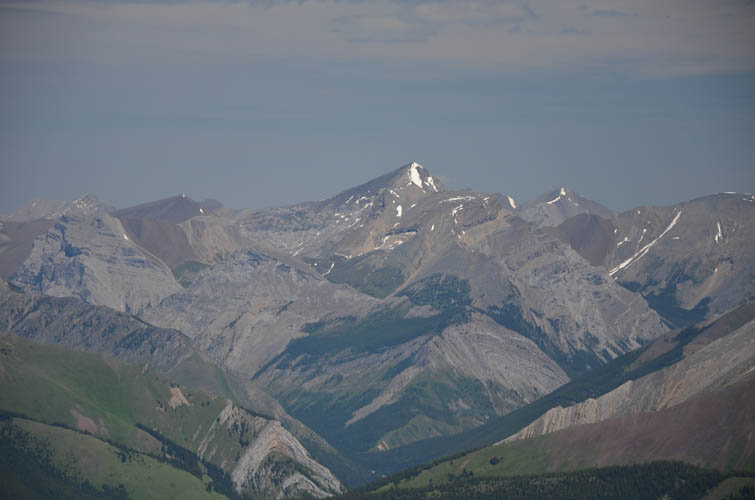
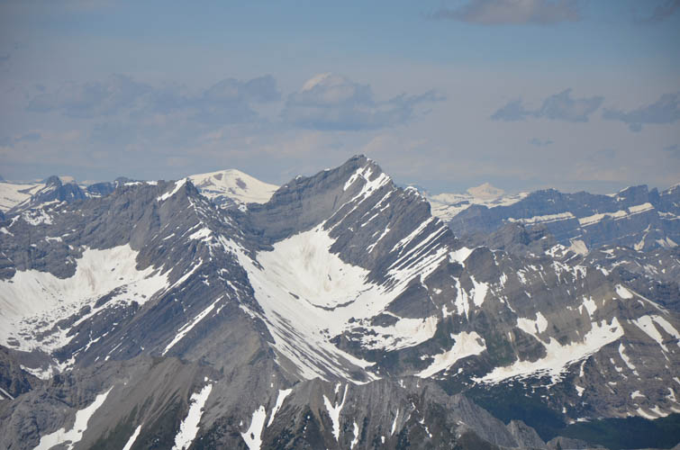
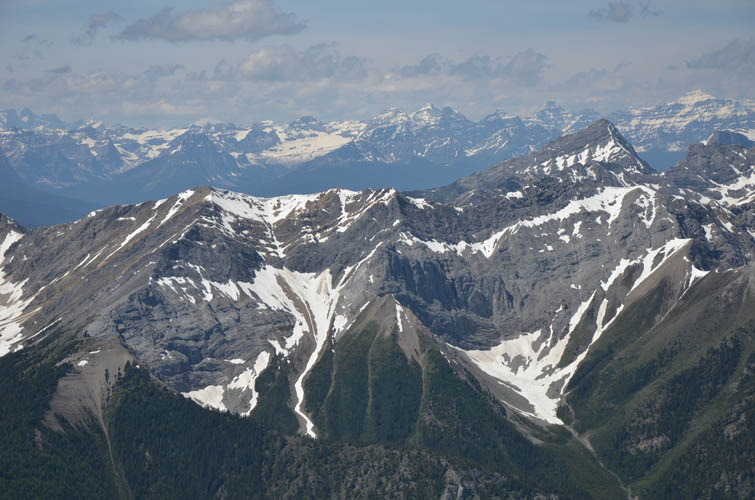
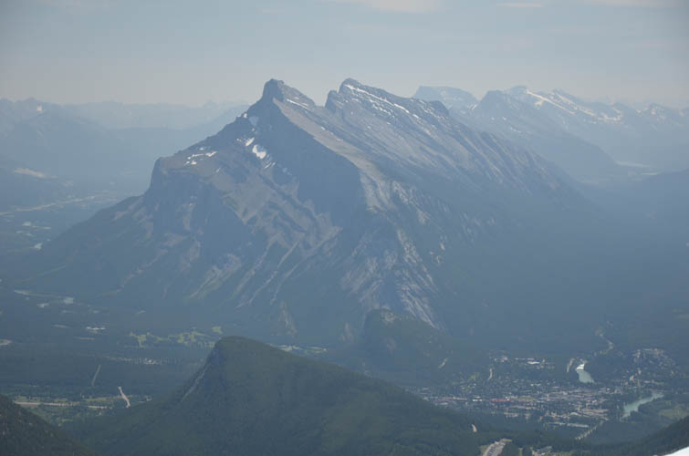
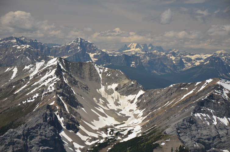
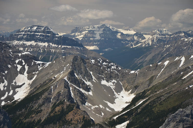
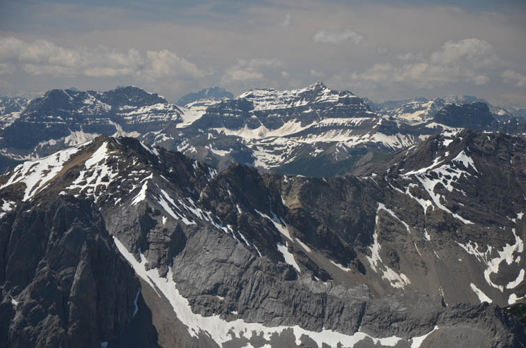
On a clear day the views from the top are second to none here. Apart from classic Banff landmarks like Mount Louis (which we saw our friend Raff climb at the same time!) and Cascade Mountain, the summit panorama includes many obscure and rarely ascended peaks to the north and northeast – most of them unnamed.
Descending the snow slopes in the two drainages was super-fast and a ton of fun! Before we knew it we were on the trail again for the long hike back to our cars. An absolutely fabulous day out!

|
Elevation: |
2865 m |
|
Elevation gain: |
1560 m |
|
Time: |
9.5 h |
|
Distance: |
21.7 km |
|
Difficulty level: |
Moderate (Kane), T4 (SAC) |
|
Reference: |
Kane |
|
Personal rating: |
4 (out of 5) |
NOTE: This GPX track is for personal use only. Commercial use/re-use or publication of this track on printed or digital media including but not limited to platforms, apps and websites such as AllTrails, Gaia, and OSM, requires written permission.
DISCLAIMER: Use at your own risk for general guidance only! Do not follow this GPX track blindly but use your own judgement in assessing terrain and choosing the safest route. Please read the full disclaimer here.