Calgary Foothills, AB, Canada
4 February 2020
Solo
A winter walk on Powderface Ridge
After a big dump of snow a few days ago and a cloudy sky in the forecast I wasn’t expecting much from today’s outing. In the end, I got a great workout out of it and still caught some nice views of the Front Ranges despite the unstable weather.
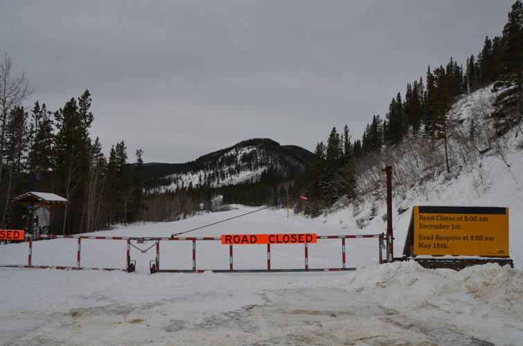
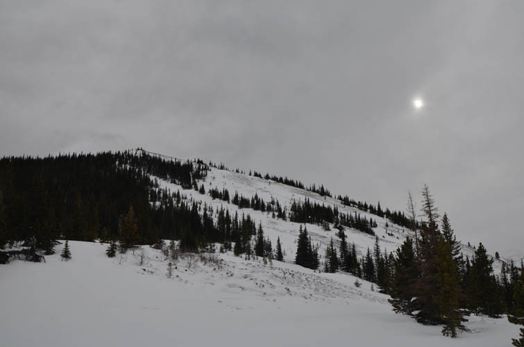
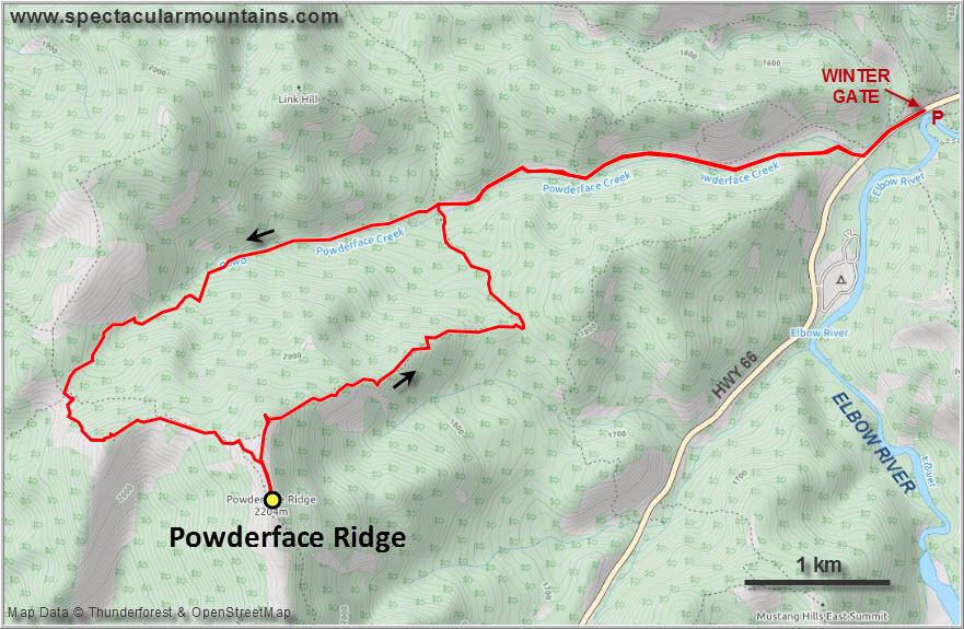
While Powderface Ridge is a busy and popular hiking destination in the summer, today I had it all to myself. No surprise, of course, given that it was a weekday at the beginning of February. The most common way to hike the ridge is from the south at the intersection of Powderface Trail and highway 66. Approaching the ridge from the north and east is a better option for this time of the year as it’s much closer to the winter gate right by the trailhead for Prairie Mountain (highway 66 west of here is closed from Dec 1st to May 15th).
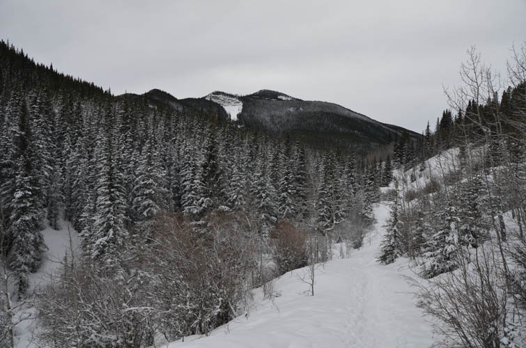
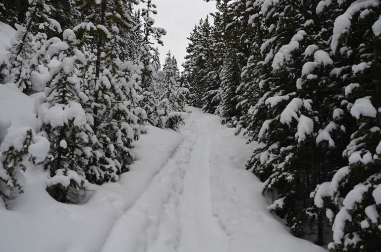
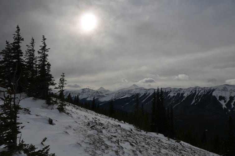
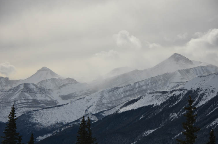
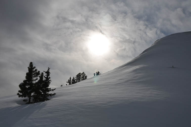
The approach via Powderface Creek trail is long and boring. Luckily, the trail was packed all the way to the pass so I didn’t have to use my snowshoes, which saved me a lot of time and energy in the first few hours. At the pass I finally got my first views: Nihahi Ridge stretches out like a massive wall from left to right, with Compression Ridge right behind it to the right.
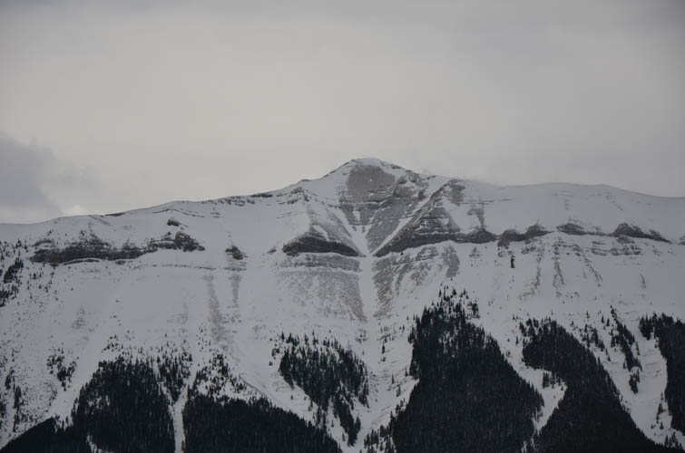
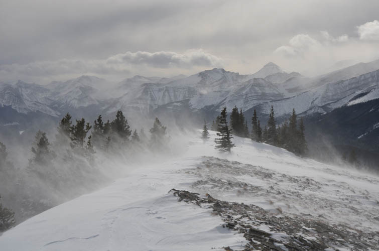
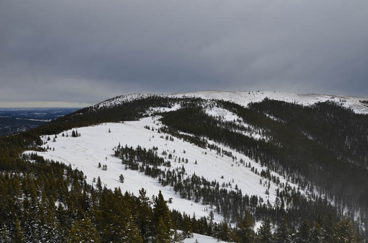
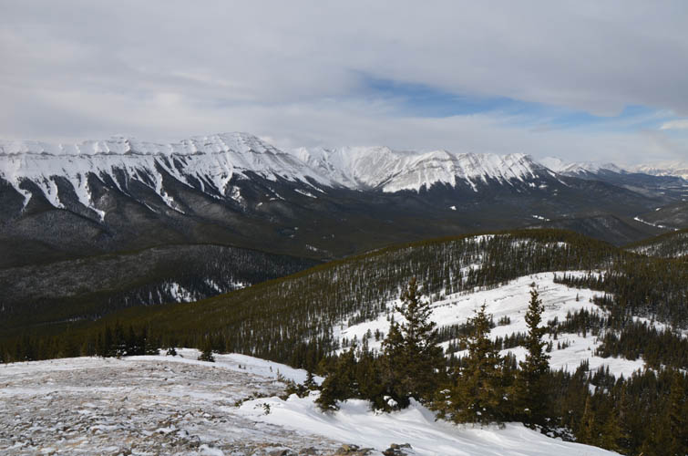
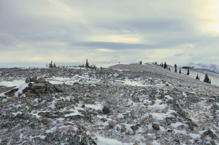
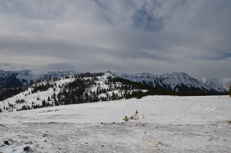
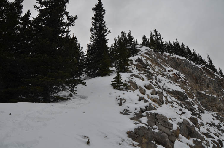
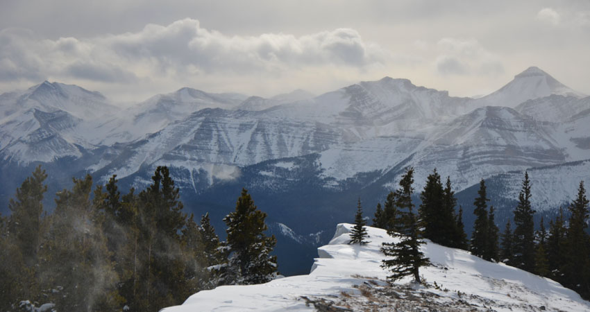
The open saddle is a pretty windy and inhospitable place in the winter so I couldn’t really stop and just continued. I pulled out my face mask to keep warm and started trudging up the open slopes to the south, leaving the beaten trail behind me (the tracks of the previous party ended at the pass). Shortly after I reached a small high point along the ridge that dropped off on the other side in a steep snow bank. The only way to avoid this corniced escarpment was to go around the side through deep snow in the trees – time to get my snowshoes on! I continued along the broad ridge top but soon had to take them off again on the wind-swept summit ridge. There are really nice vistas of the Mount Glasgow to Banded Peak group as well as Forget-Me-Not Ridge just to the southeast.
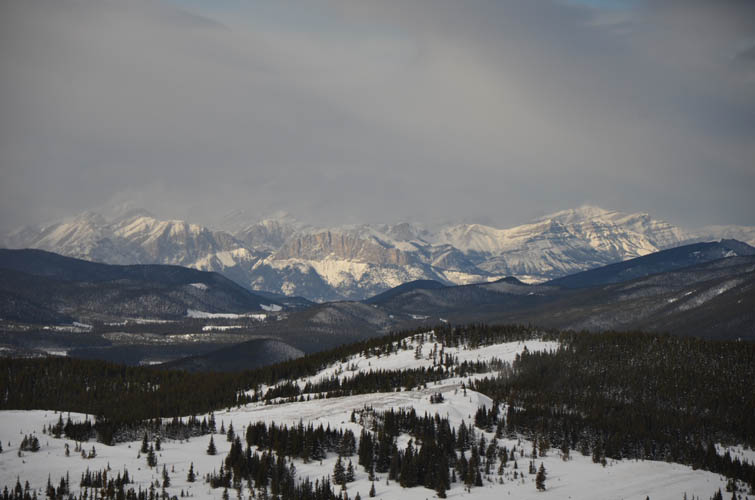
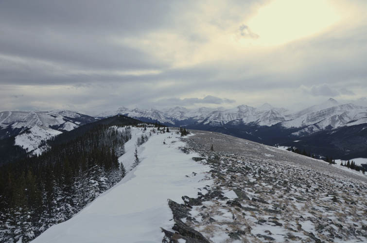
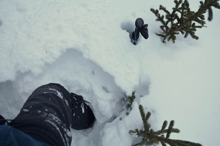
Daffern’s Kananaskis Country Guidbook vol. 2 talks about a little used route down the northeast ridge that can be used to link up with Powderface Creek. A good option for an alternative descent? Hmm… well, it was certainly fun going down here, but there was no trace of a trail now that everything was covered in deep snow of course, not even flagging. I pretty much had to make my own trail and even with snowshoes on I often sank in knee-deep or more, the snow was just too soft. But it was still ok going down – there is no way I could’ve ascended this way ploughing through mounds of snow uphill!
I followed the treed northeast ridge to a minor saddle, then took a sharp left (north) to head back towards Powderface Creek. The only signs of the existence of a trail here were the occasional cut branches, but overall the snowshoeing wasn’t too difficult and I soon reached the beaten trail again. In fact, it all worked out pretty well today: a packed trail and gentle grade for the ascent hike, and soft snow to snowshoe back down on. Great workout!
|
Elevation: |
2207 m (my GPS) |
|
Elevation gain: |
850 m |
|
Time: |
6.5 h |
|
Distance: |
16.8 km |
|
Difficulty level: |
Easy (Kane), T3 (SAC) |
|
Comments: |
NE ridge descent route can hold plenty of deep snow in winter. |
|
Reference: |
Daffern |
|
Personal rating: |
3 (out of 5) |
NOTE: This GPX track is for personal use only. Commercial use/re-use or publication of this track on printed or digital media including but not limited to platforms, apps and websites such as AllTrails, Gaia, and OSM, requires written permission.
DISCLAIMER: Use at your own risk for general guidance only! Do not follow this GPX track blindly but use your own judgement in assessing terrain and choosing the safest route. Please read the full disclaimer here.