Castle Provincial Park, AB, Canada
17 October 2021
Solo
Probably the easiest ridge walk in the Castle
Today was just not my day – I had much bigger plans but my stomach kept torturing me all day, so I had to cut my trip short. Even on the drive in from Calgary I had to pull over in Nanton and take a nap in my car for an hour before I felt a little better. Trying out new ethnic restaurants is fun, but perhaps not the best idea the night before a huge exploratory trip (one that I’m sure to do in 2022!).
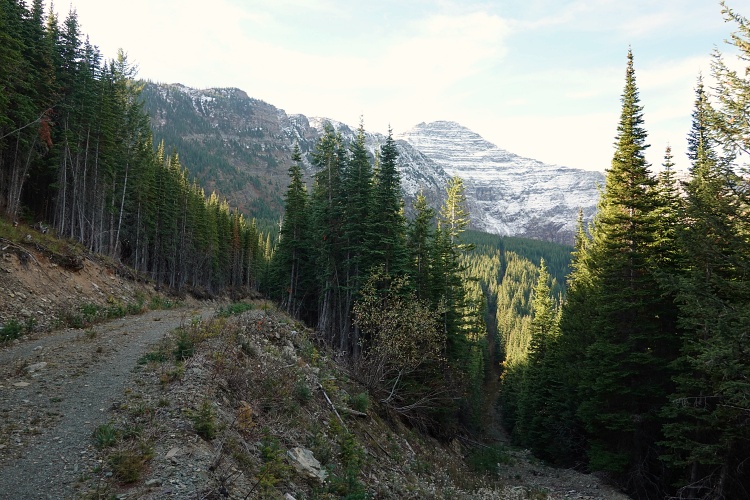
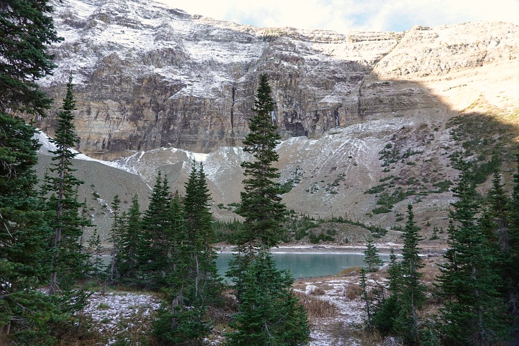
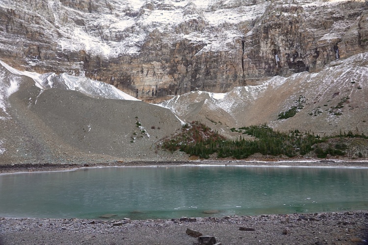
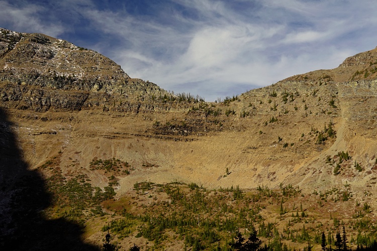
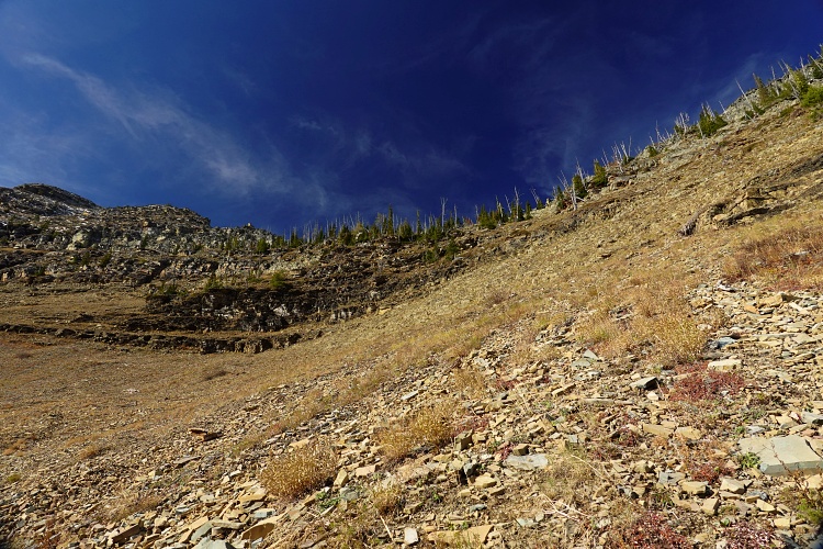
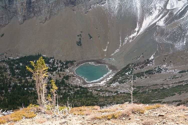
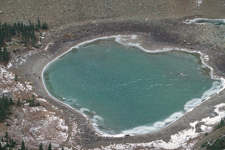
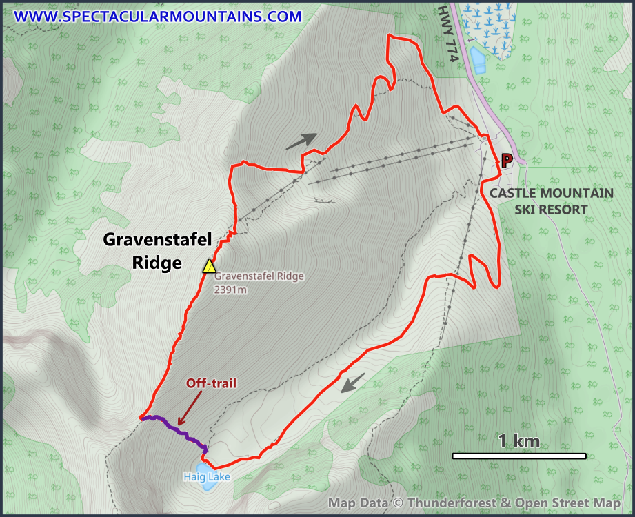
I had done Gravenstafel Ridge as part of a bigger ridge walk from Tombstone Mountain together with Trevor and Richard back in 2019 and knew it would make for an easy and short day out. It also lends itself to a nice loop with a visit to Haig Lake just south of the ridge. I trudged up the wide track to the lake in the morning, then sat on the sun-bathed slopes north of the lake for an hour to rest a little more before continuing up to the col between Mount Haig and Gravenstafel Ridge. This was the only steep part of the day, although not steep enough to make it a scramble.
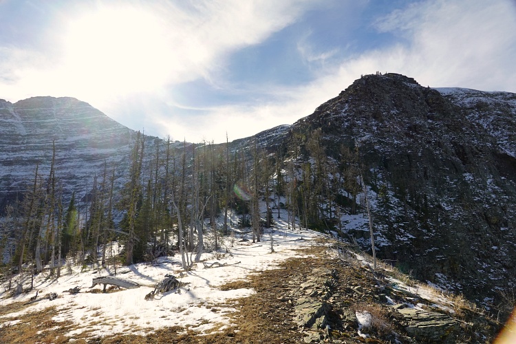
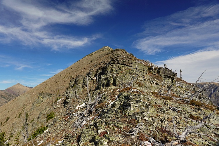
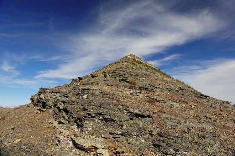
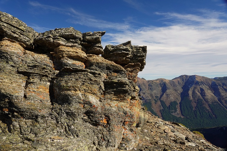
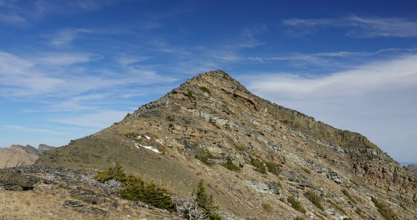
At the col I turned right and followed the ridge crest to the top, bypassing a few steeper rock steps on the left or right. It’s pleasant terrain and I enjoyed the easy scrambling despite still feeling quite sluggish and exhausted.
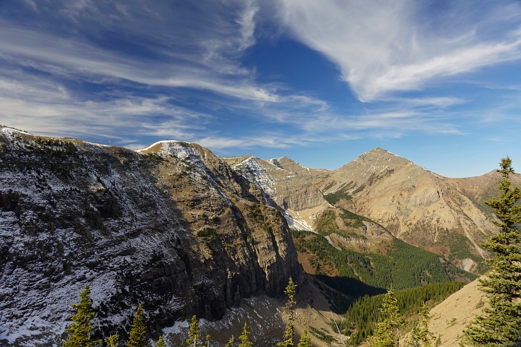
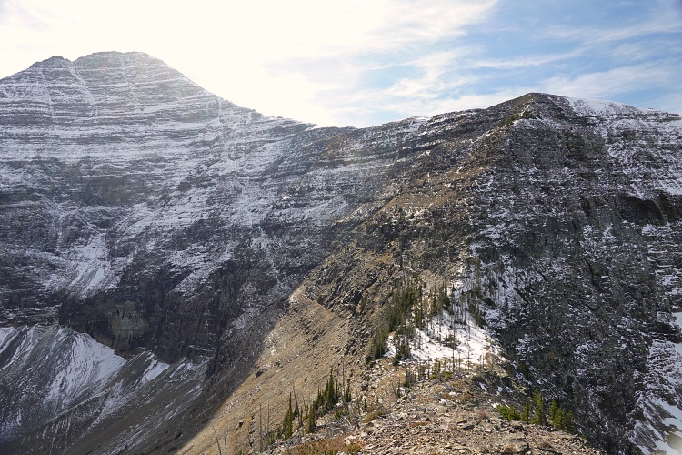
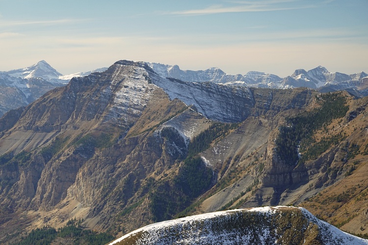
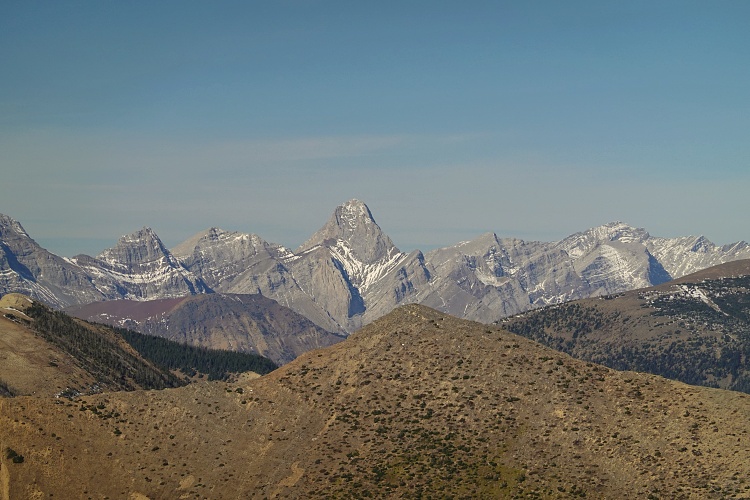
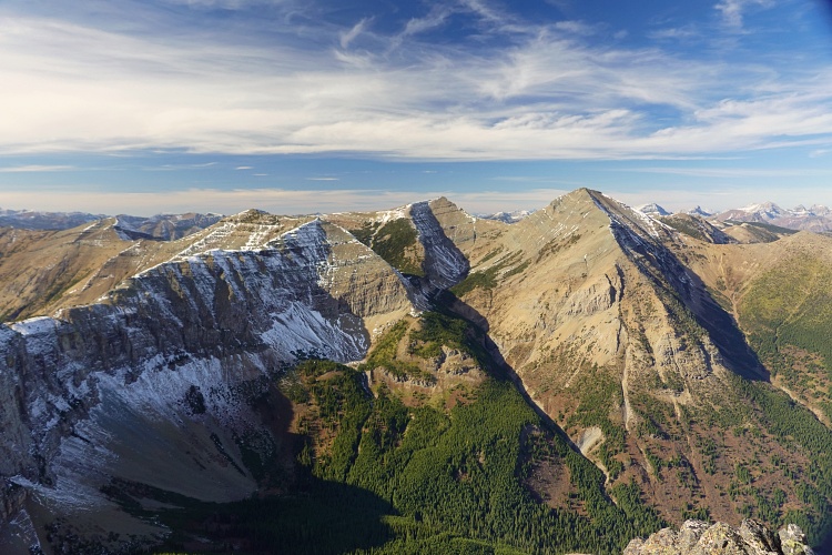
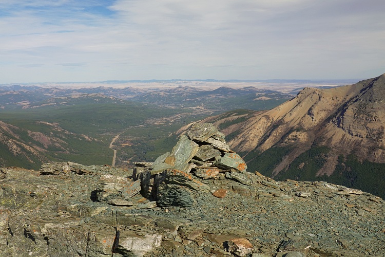
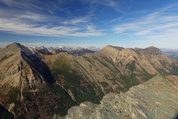
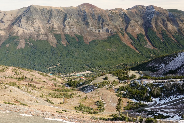
The summit has really nice views of Syncline, St. Eloi, Mount Haig, and Southfork Mountain and Barnaby Ridge to the east. The descent was straightforward and mindless: ski runs and maintenance roads lead directly back down to Castle Mountain Ski resort and the big parking lot that always seems so empty in the summer.
A nice little ridge walk, perfect for something easy and short.
|
Elevation: |
2393 m |
|
Elevation gain: |
1160 m |
|
Time: |
5.0 h |
|
Distance: |
11.5 km |
|
Difficulty level: |
Easy (Kane), T3 (SAC) |
|
Activity: |
Mostly hiking with some easy scrambling |
|
Reference: |
Nugara & own routefinding |
|
Personal rating: |
3 (out of 5) |
NOTE: This GPX track is for personal use only. Commercial use/re-use or publication of this track on printed or digital media including but not limited to platforms, apps and websites such as AllTrails, Gaia, and OSM, requires written permission.
DISCLAIMER: Use at your own risk for general guidance only! Do not follow this GPX track blindly but use your own judgement in assessing terrain and choosing the safest route. Please read the full disclaimer here.