Ghost, AB, Canada
20 March 2020
With Richard
Short and easy with fantastic panoramic views of the Ghost
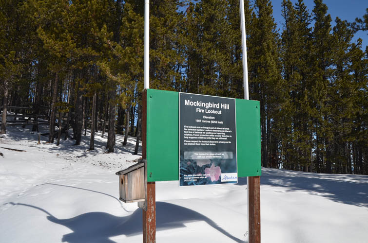
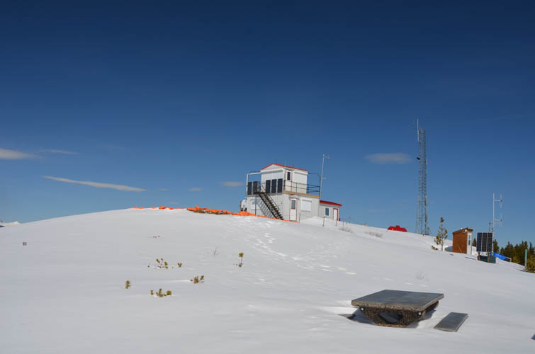
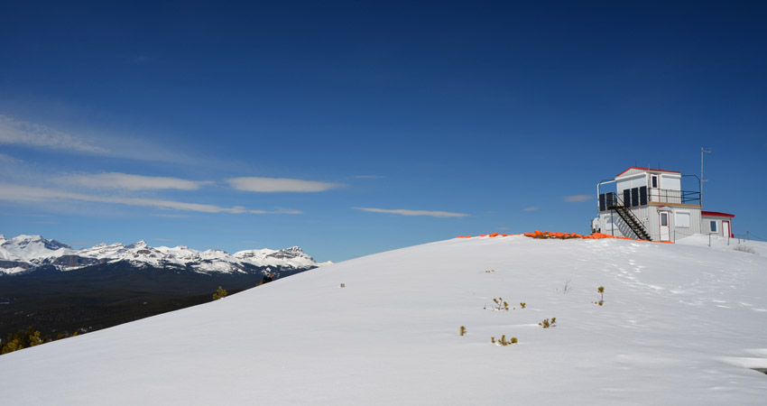
Mockingbird Lookout sits atop a small forested hill in the Foothills of the Ghost, about a two hour drive from Calgary. Richard and I didn’t have high expectations for this one, but we hadn’t been out in a while and weather conditions are a big constraint at this time of the year of course. In the end we were pleasantly surprised.
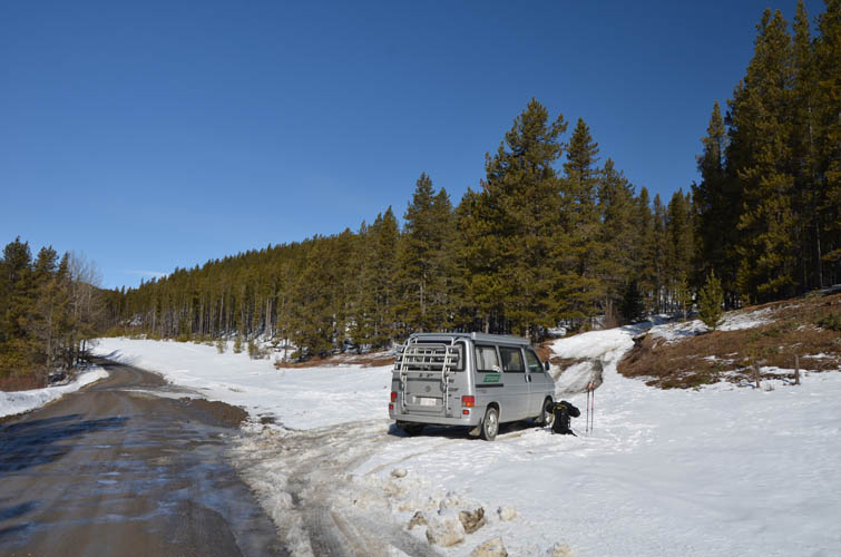
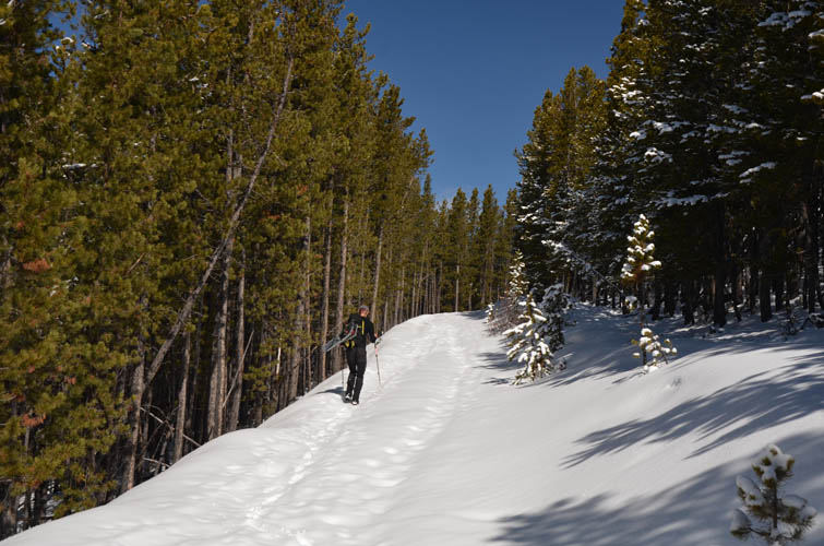
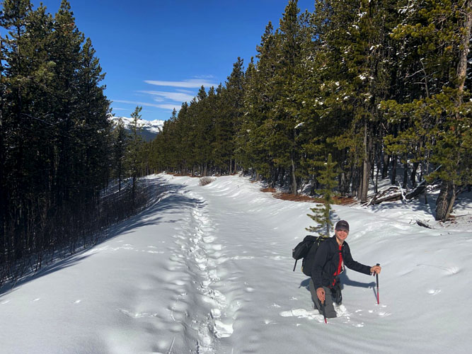
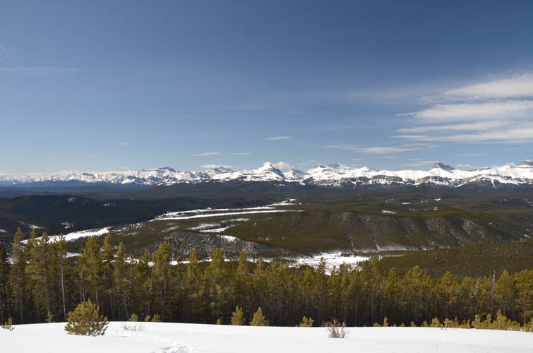
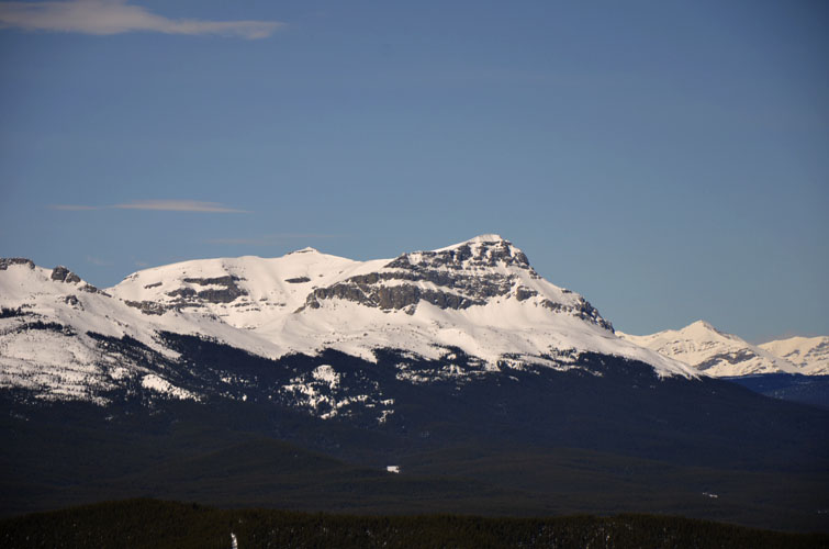
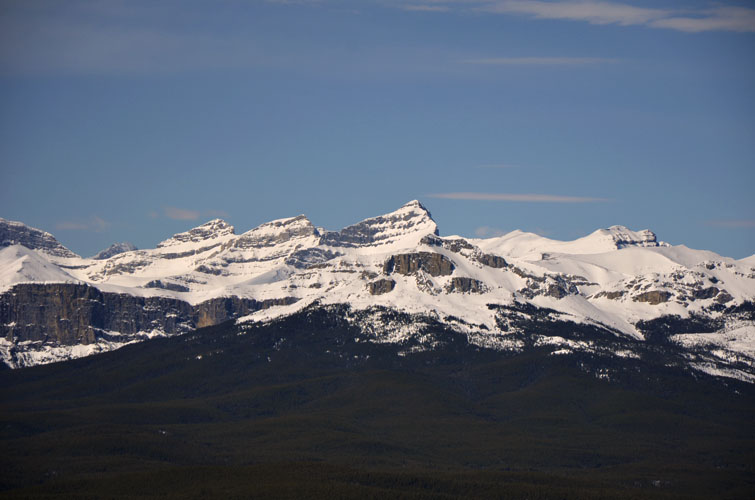
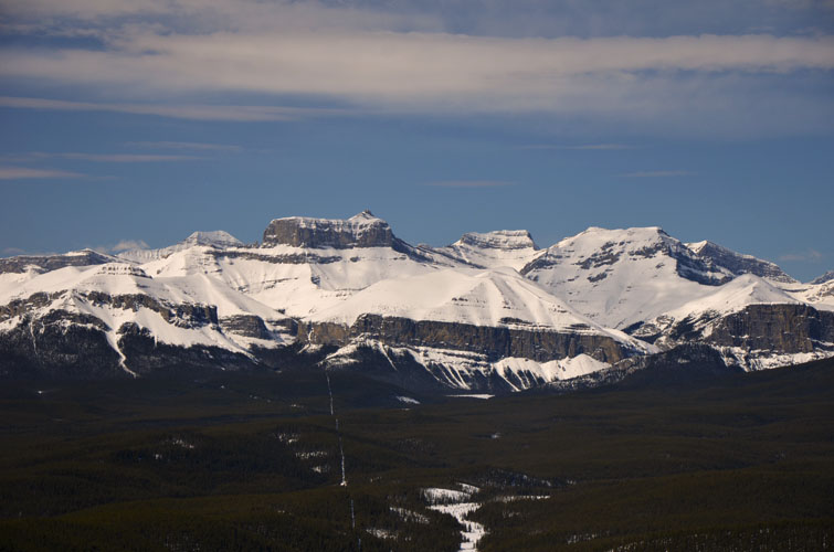
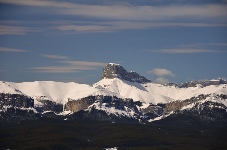
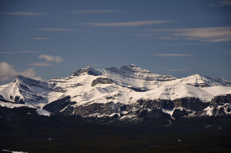
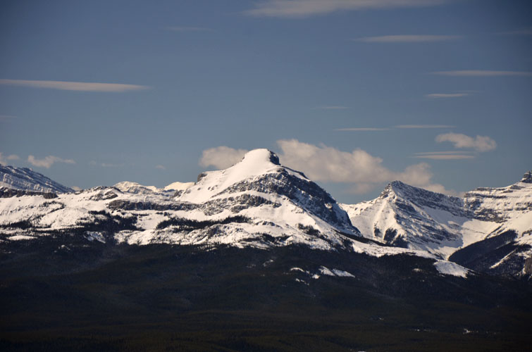
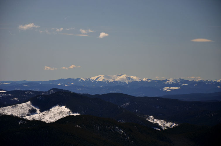
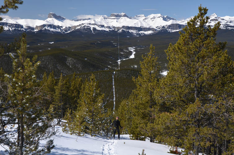
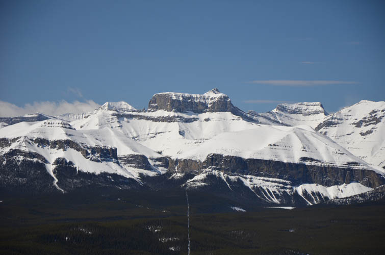
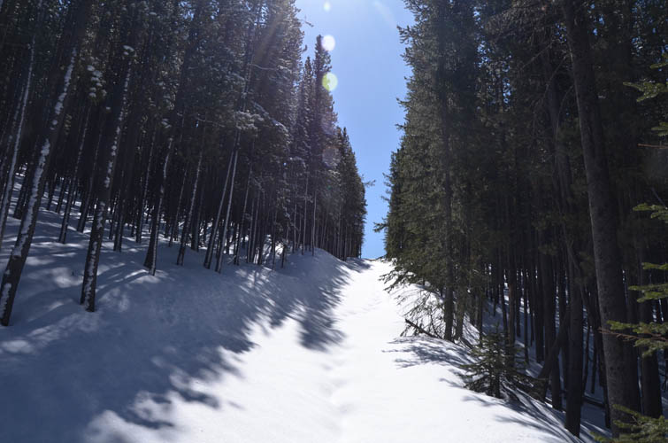
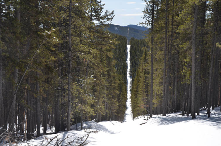
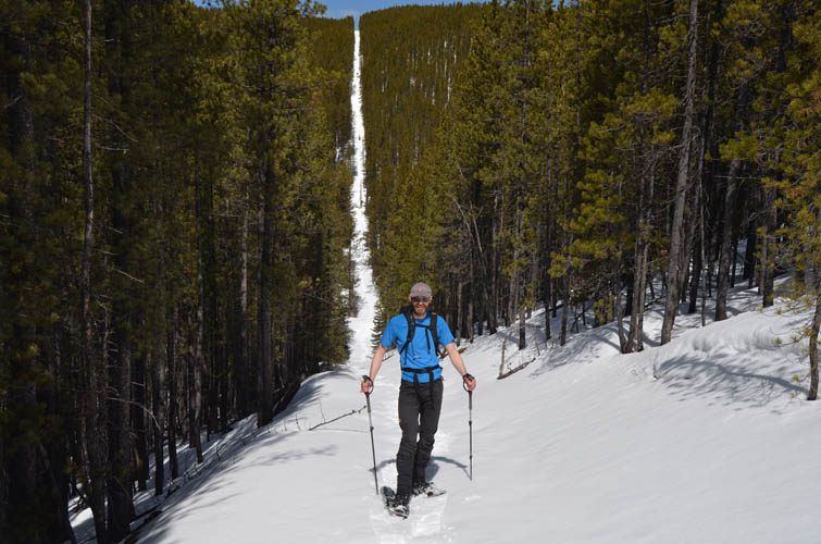
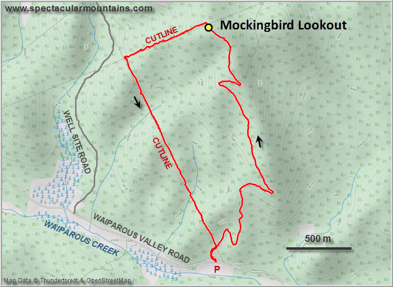
A gated access track starts from the gravel road (about 3.5 km west of the turn-off from Highway 40/Forestry Trunk Rd) and goes straight up to the lookout, with a few bends in between. It’s short and rather boring as it’s all in the trees and it reminded me a bit of Blue Hill Lookout. One big difference to Blue Hill, however, is the open summit area that offers fantastic views of Front Range peaks in the Ghost to the west. For such little effort the views are really worth coming up here on a sunny and clear day! Everything from Ghost Peak in the north to Association Peak in the south is lined up right in front of you, and even parts of Ya Ha Tinda further north can be seen.
It only took us an hour up, which was in part thanks to a previous party that had packed the snow for us a few days earlier. For the way down we chose to don our snowshoes and descend the cutline directly west of the summit. After losing most of the elevation we intersected another cutline at right angles, turned left and followed it south back to where we had parked. This second cutline involved some ups and downs and was a bit of a workout with all the soft snow around, but this is exactly what we wanted. If you want to keep it simple and avoid additional elevation gain, just go up and down the same way.
Mockingbird Lookout is a short and simple hike that could also be a decent backup plan if a bigger objective in the area (e.g. Ghost Peak) doesn’t work out for whatever reason.
|
Elevation: |
1909 m (my GPS) |
|
Elevation gain: |
470 m |
|
Time: |
3.0 h |
|
Distance: |
5.9 km |
|
Difficulty level: |
Easy (Kane), T1 (SAC) |
|
Comments: |
Stats for loop route. |
|
Reference: |
Bob Spirko & own routefinding |
|
Personal rating: |
2 (out of 5) |
NOTE: This GPX track is for personal use only. Commercial use/re-use or publication of this track on printed or digital media including but not limited to platforms, apps and websites such as AllTrails, Gaia, and OSM, requires written permission.
DISCLAIMER: Use at your own risk for general guidance only! Do not follow this GPX track blindly but use your own judgement in assessing terrain and choosing the safest route. Please read the full disclaimer here.