Kananaskis, AB, Canada
20 August 2022
Solo
Top-notch extended ridge scramble right in our backyard
Having done Opal Ridge North and South on separate occasions before, I thought it was time to do the long traverse of the ridge in between for a fun summer outing that’s also close to Calgary. I’m happy to report that this now rates as one of my favourite ridgewalks in Kananaskis! Super fun with lots of challenges to keep you entertained, great views throughout, plus convenient approach trails.
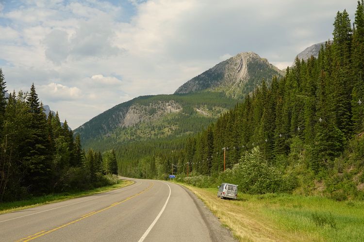
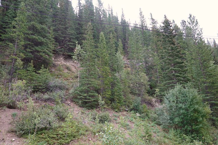
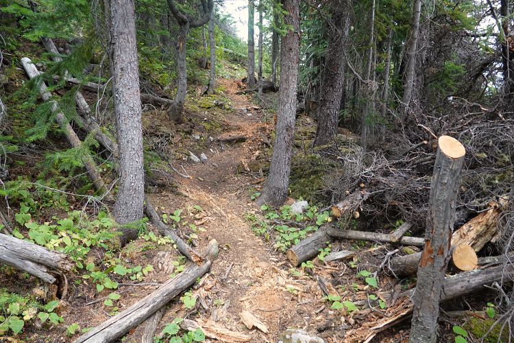
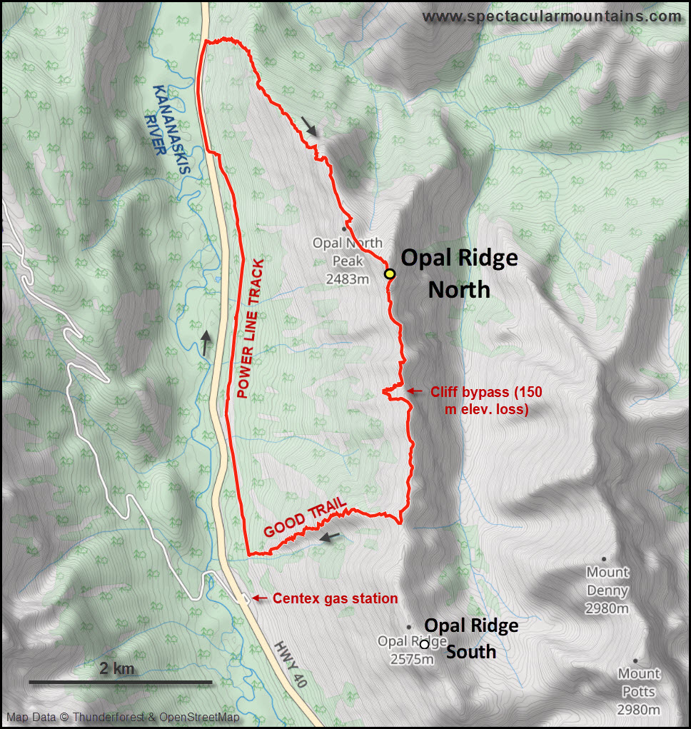
I started on the northern end of the ridge to do a clockwise loop, which is probably slightly easier as you will then have some of the moderate scrambling on the ascent and an easy hike getting off the ridge. The very first stretch from highway 40 is probably the only unappealing part of the trip: a steep slope that goes straight up through some shrubs and light forest, necessitating a bit of bushwhacking and routefinding. Eventually, various faint bits of trail converge into one proper trail as you gain elevation and the ridge starts to take shape. And this trail is even flagged in places, how convenient!
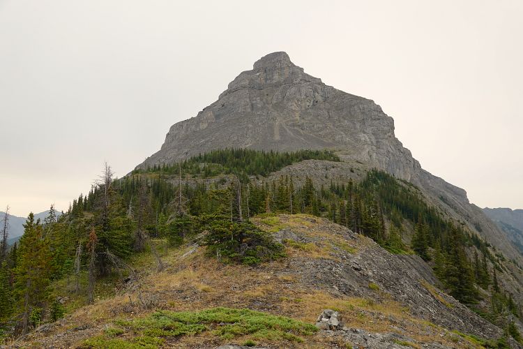
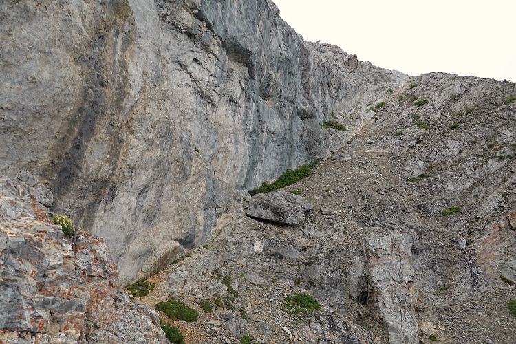
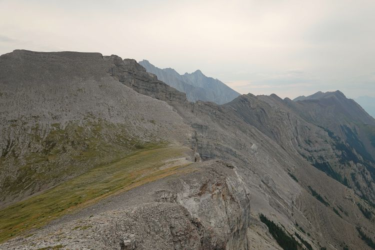
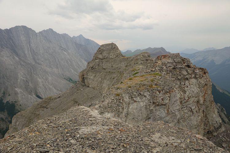
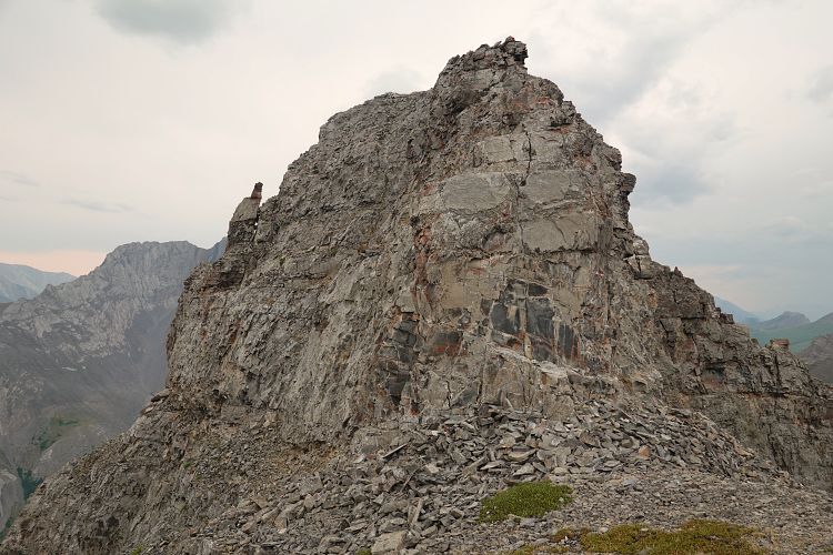
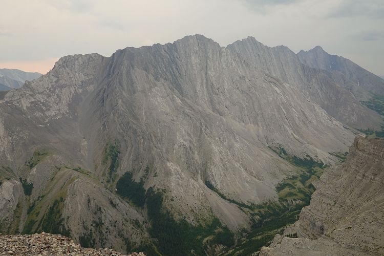
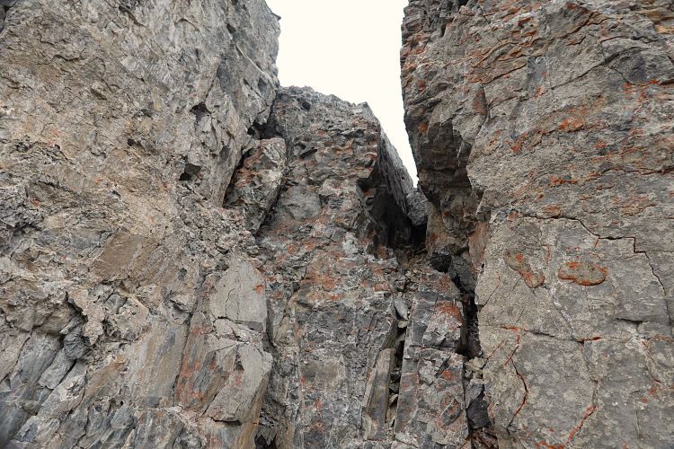
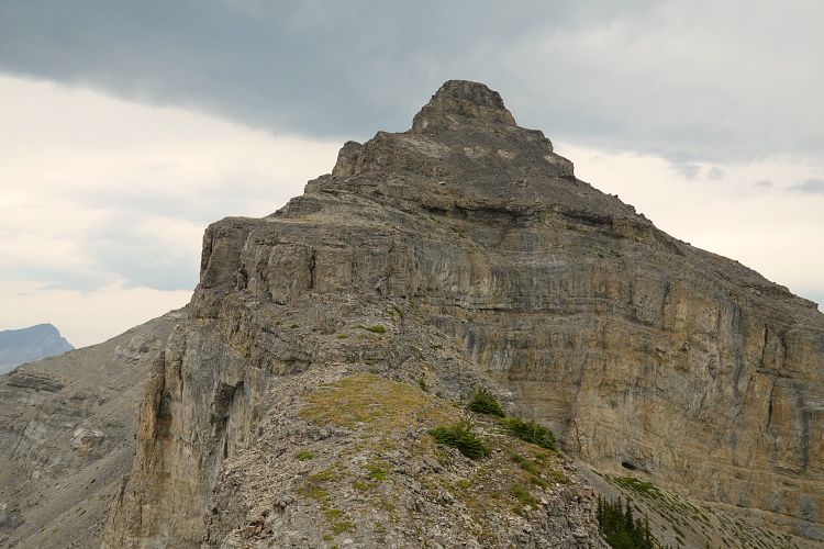
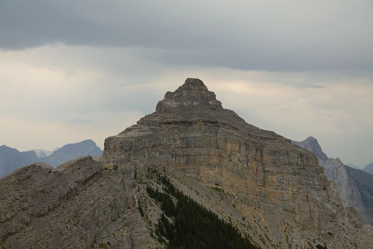
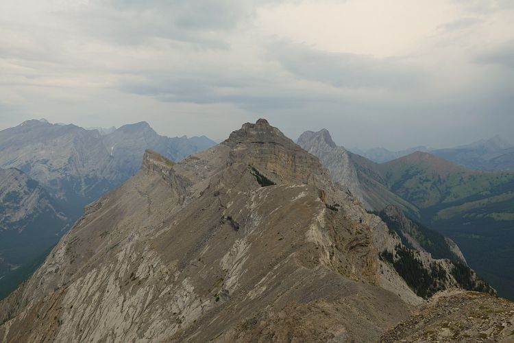
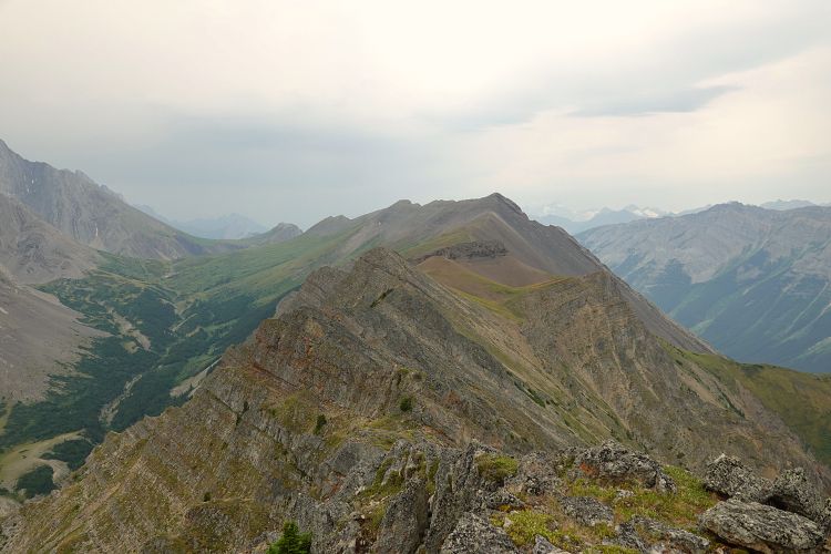
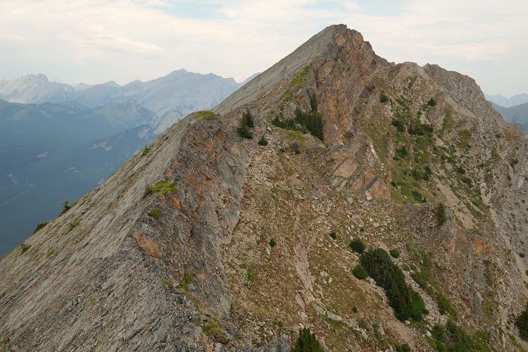
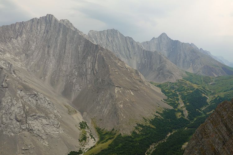
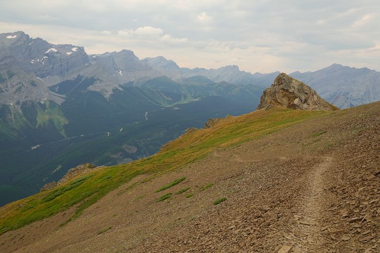
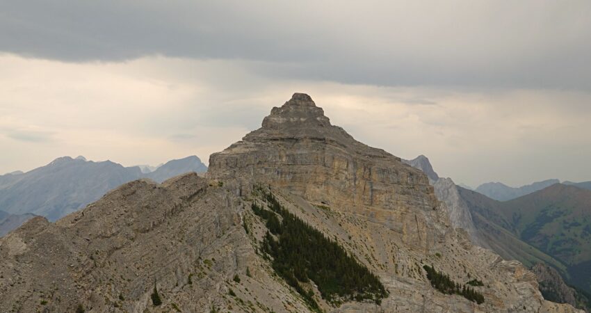
After about an hour I left the trees behind me and started up rubble and scree to a ramp that diagonally cuts through the first rock buttress on climber’s right. A couple more easy to moderate scramble sections followed and I was on the plateau-like top of the main north-south ridge with pretty neat views all around. There are a number of cairns along the flat ridge here, but to get to the true summit of Opal Ridge North it’s another 600 m or so further south. The true summit sits on a small tower-like feature and has an elevation of 2562 m. (Note that the highest point of the entire ridge is actually at 2614 m on the southern end – see Opal Ridge South.) While getting there is easy, the actual climb of the tower definitely requires some difficult moves with a bit of exposure, which surprised me a little. I went around the left (east) for a few metres, then slowly scrambled up the side which has good but small holds. The views from the summit aren’t necessarily better than from the adjacent ridge, but of course it is the highest point so why not. On my way off the tower I chose to downclimb the narrow spine on the north side, which may be easier for tall people as there are fewer holds.
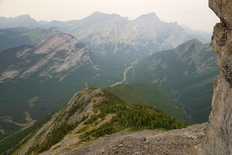
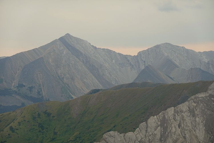
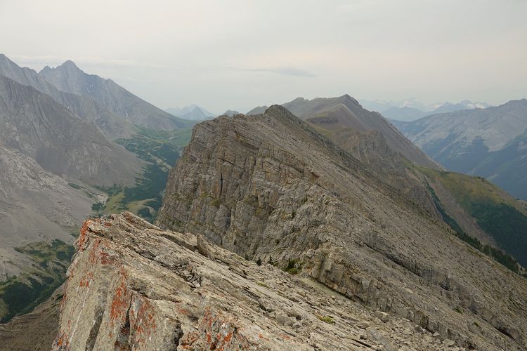
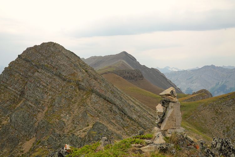
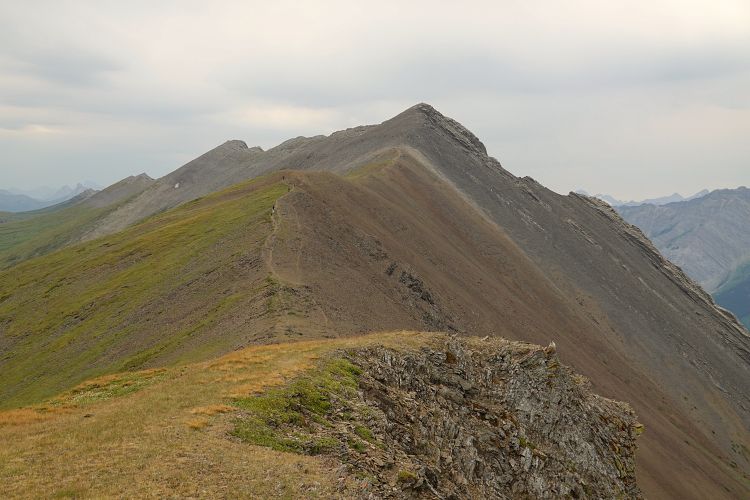
Judging by the much fainter trail further south, few people venture beyond the summit tower. The rest are missing out! The remaining ridge is long but highly enjoyable with bits of easy hiking mixed with easy to moderate and perhaps also some difficult scrambling. It is a commitment, though, as there are numerous ups and downs and the total elevation gain at the end of the day will be sizable.
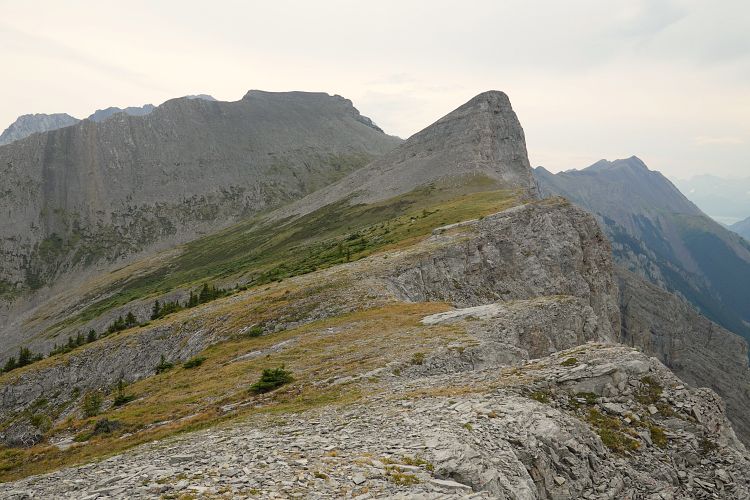
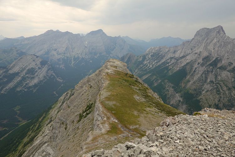
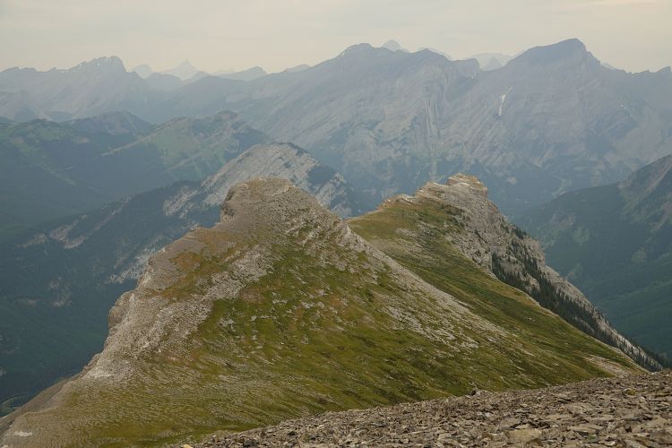
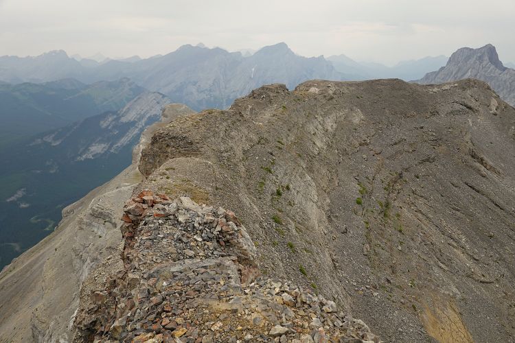
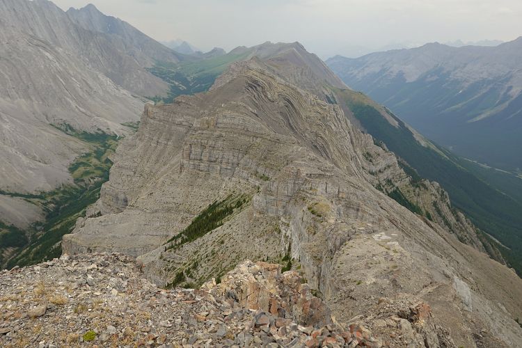
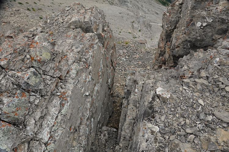
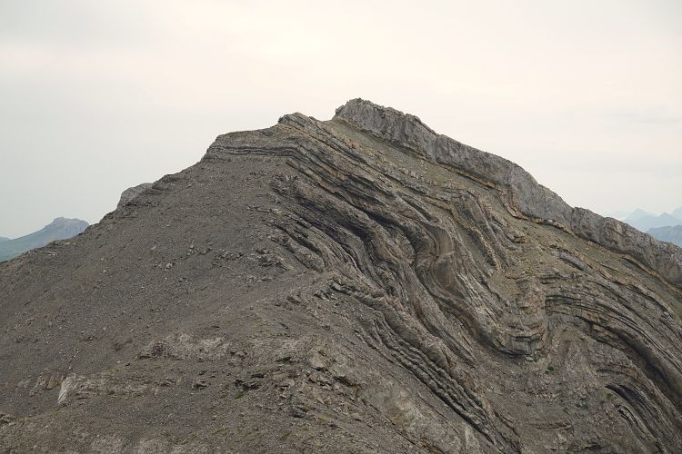
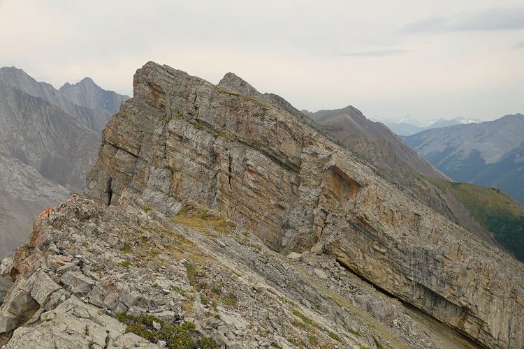
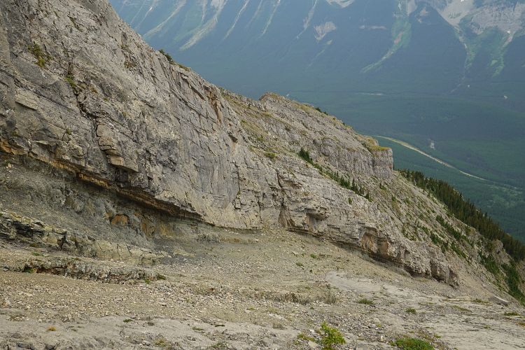
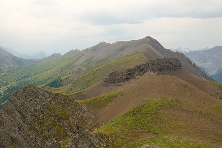
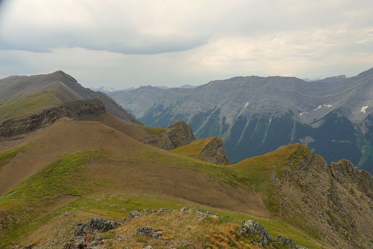
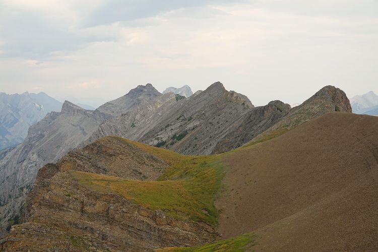
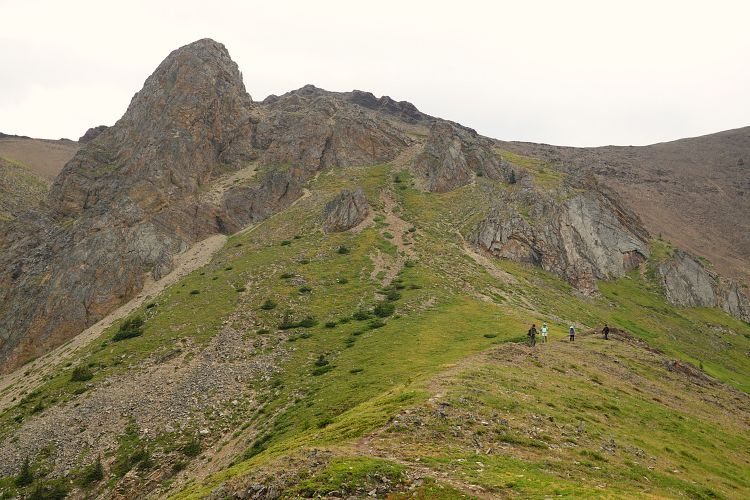
On the remaining ridge two interesting spots stand out to me. One was shortly after leaving the summit tower where you’ll have to cross several flat blocks of rock with vertical drop-offs on either side. At one point the only way to progress on the slightly descending ridgeline is to scramble down a narrow crack to the block below. It involves some stemming moves and is easier for smaller people – tall people don’t always have the advantage! Another spot was further south where you’ll encounter a vertical cliffband that blocks the way on the crest. Even though it’s only 4-5 m high, there is no safe way to climb up here without protection in my opinion. The cliffband runs down the west slopes and you’ll need to lose about 150 m of elevation until it diminishes sufficiently to allow you to get up and over it. Past this point there were no more major hurdles and the ridge slowly started to mellow out. Blocks of quartzite and gentle, rounded shale and grass-covered bumps replace the craggy ridge crest towards the end when you approach the descent trail that runs down the west slopes to the Centex gas station.
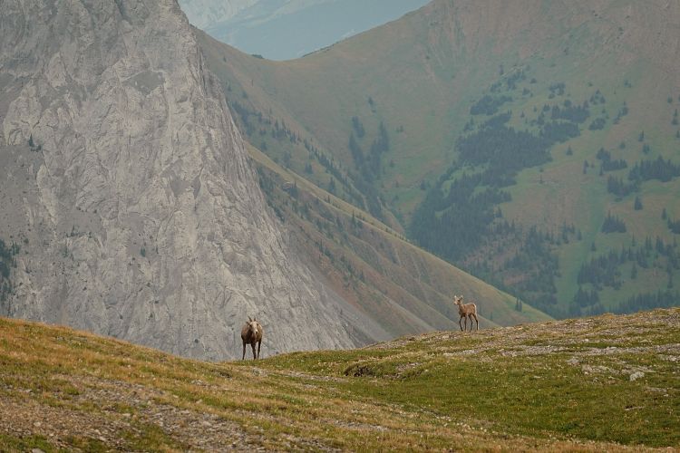
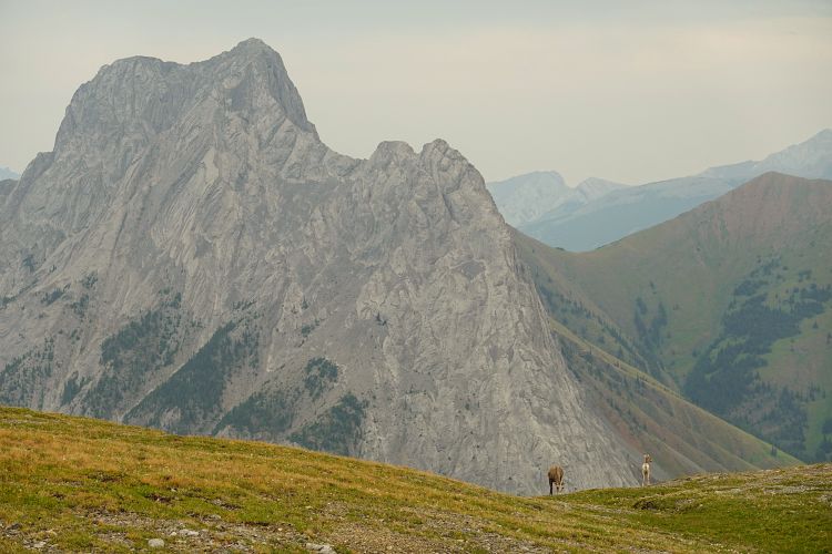
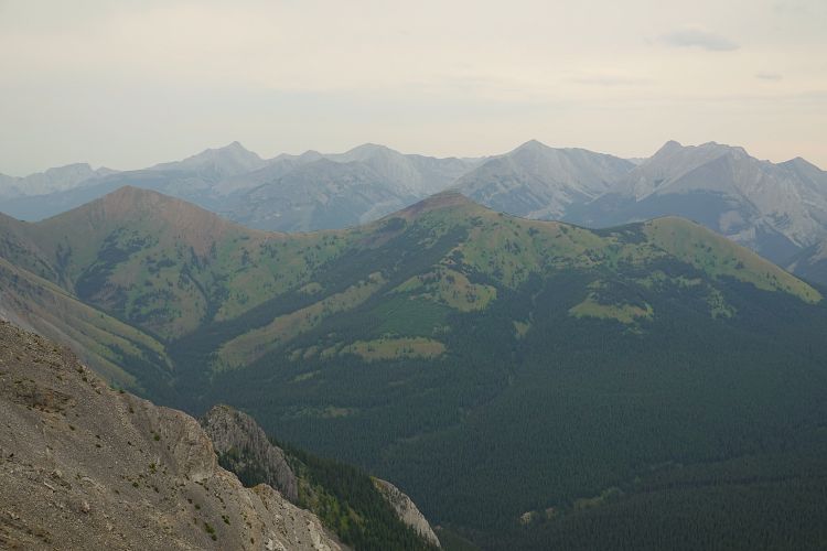
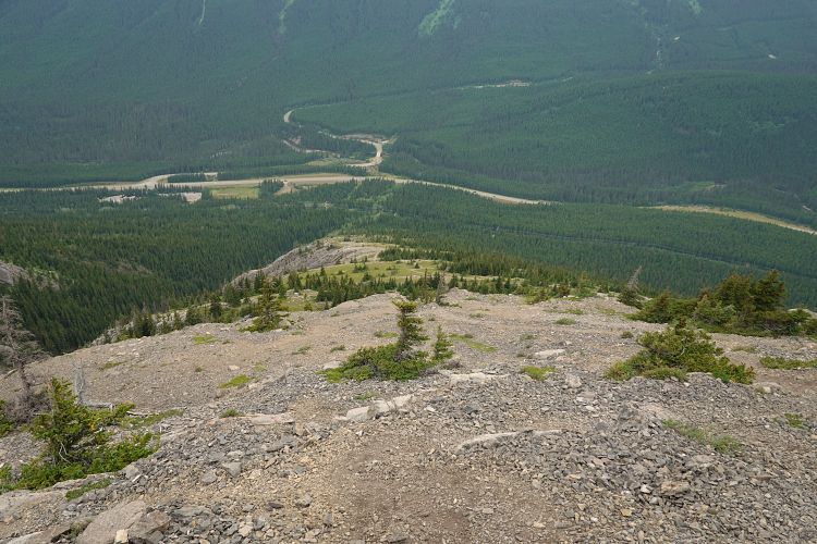
This trail is the main access trail for Opal Ridge South and, as expected, it was packed with hikers on this beautiful August day. It’s really interesting and a bit strange to see how you can go from being the only soul around to being surrounded by dozens of people, all on the same ridge. I guess it’s the ease of access and hiker-friendly terrain that make all the difference.
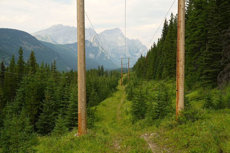
The descent was pretty fast and efficient. I’ve taken this trail three times now and I enjoyed it every time. Near valley bottom, the trail intersects a wider path that is used to service the power line paralleling highway 40. I turned right here and then followed this path for another 5.7 km back to my car. A quicker way would be to car-pool if you have two cars or to drop a bike on one end.
|
Elevation: |
2562 m |
|
Elevation gain: |
1620 m |
|
Time: |
8.0 h |
|
Distance: |
15.9 km |
|
Difficulty level: |
Difficult (Kane), T5 (SAC) |
|
Activity: |
Scrambling & hiking |
|
Reference: |
Kane |
|
Personal rating: |
5 |
NOTE: This GPX track is for personal use only. Commercial use/re-use or publication of this track on printed or digital media including but not limited to platforms, apps and websites such as AllTrails, Gaia, and OSM, requires written permission.
DISCLAIMER: Use at your own risk for general guidance only! Do not follow this GPX track blindly but use your own judgement in assessing terrain and choosing the safest route. Please read the full disclaimer here.