Kananaskis, AB, Canada
29 July 2022
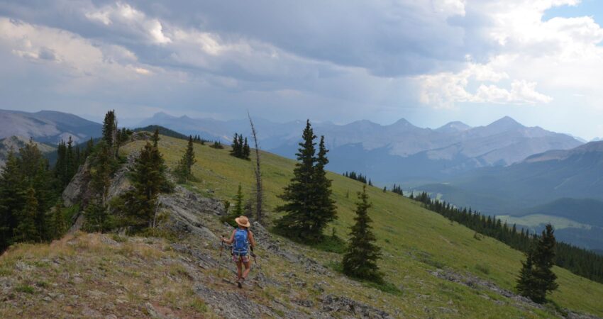
With Wen
Nice short workout hike on a good trail
Having done Powderface Ridge as a winter trip via Powderface Creek back in February 2020, today turned out to be a good opportunity to try out the much more popular main route via the south ridge. It was a hot and muggy summer day with temps going up to 30 degrees. This is an easy hike that’s perfect for bringing friends that you may not have hiked with before. The trail is very good, there are no technical difficulties, and you can’t really get lost. The in-and-out route also makes it straightforward.
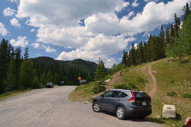
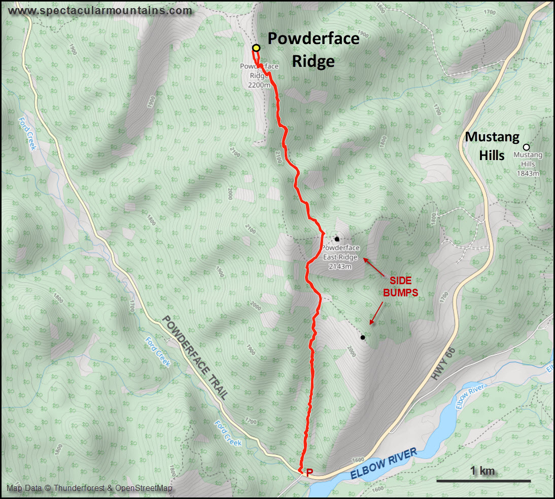
The trailhead is a small pull-out on the north side of the road, right before highway 66 turns into Powderface Trail (a gravel road going northwest). There were only a few other cars parked here when we got there, in contrast to the dozens of cars parked at the Prairie Mountain trailhead, which is a much more popular and often crowded hike.
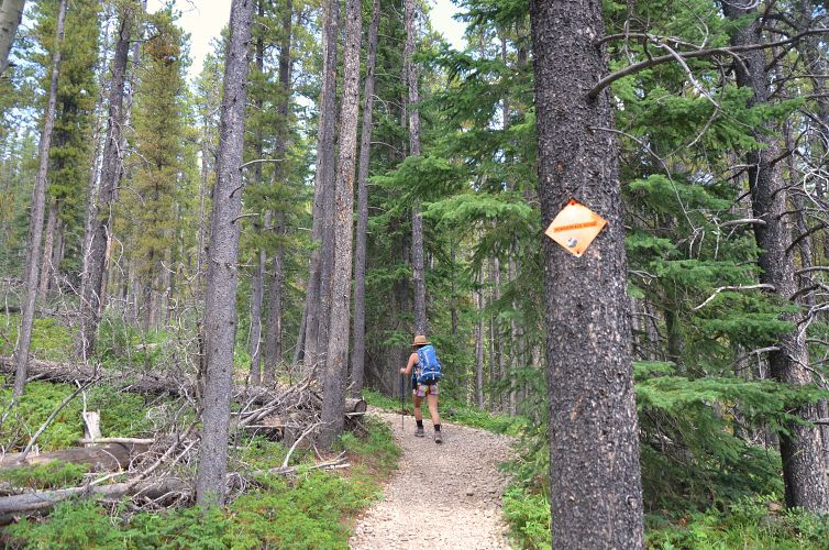
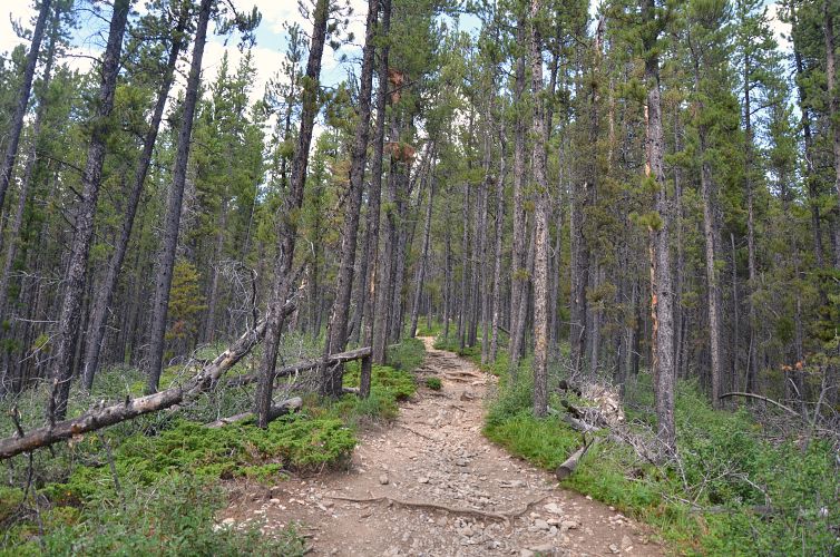
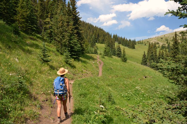
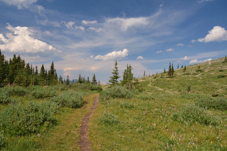
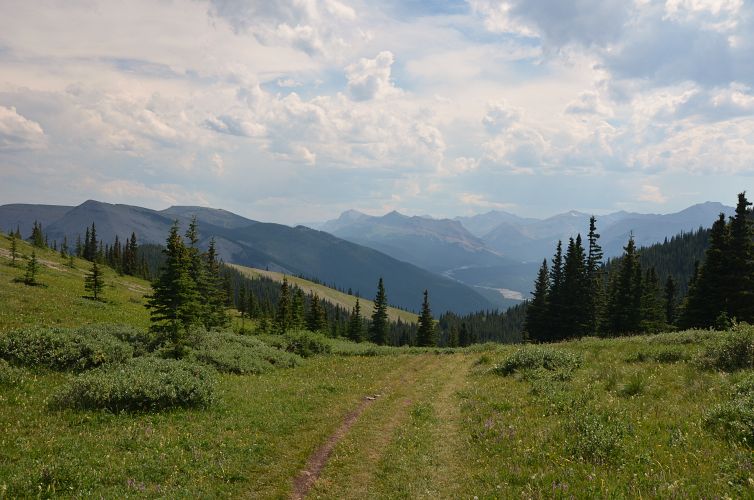
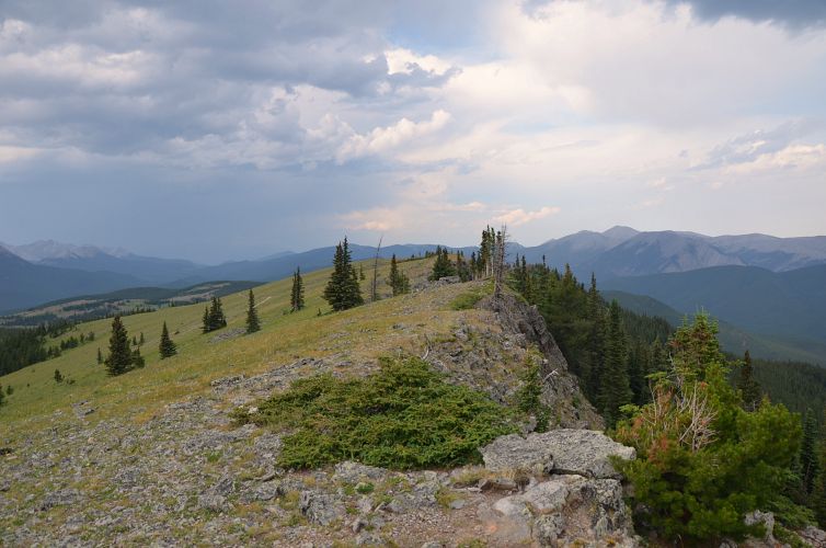
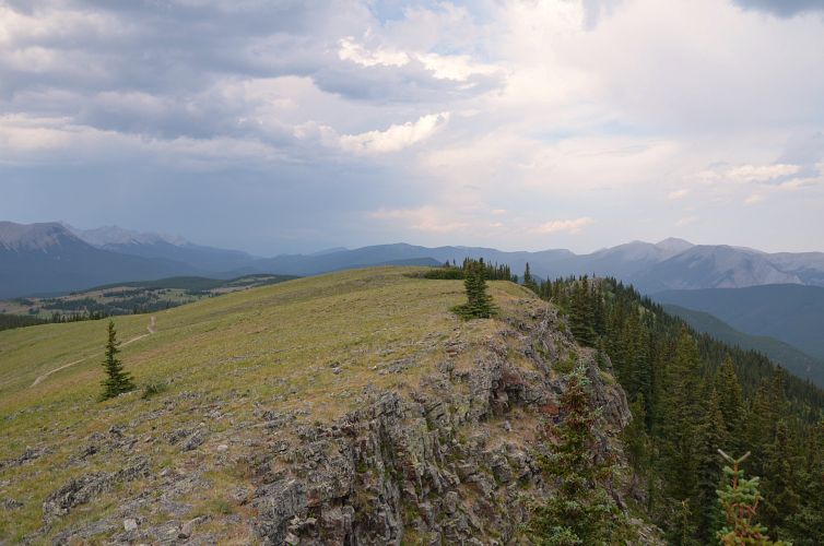
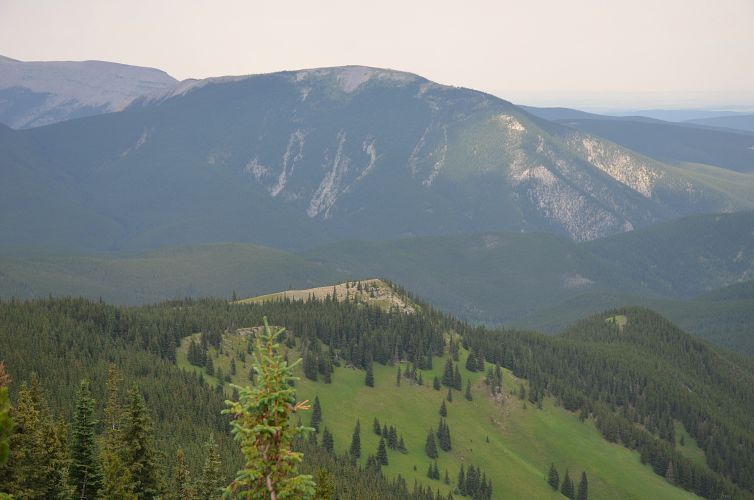
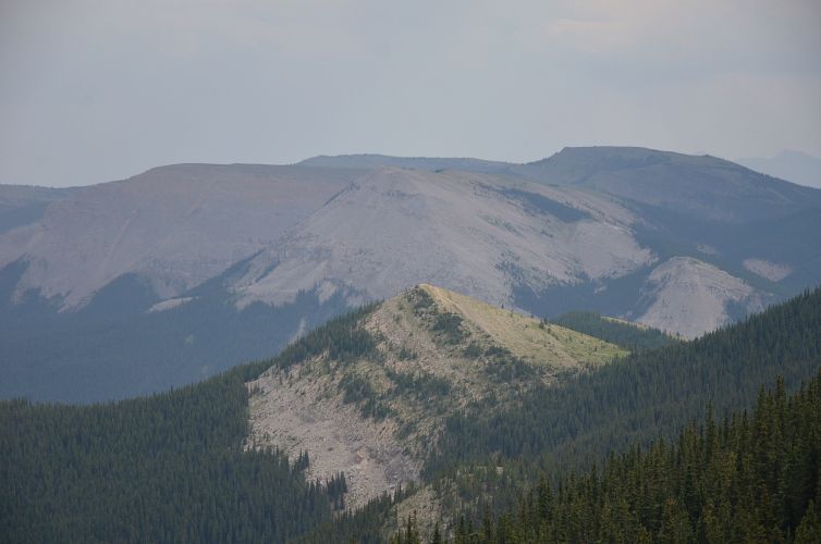
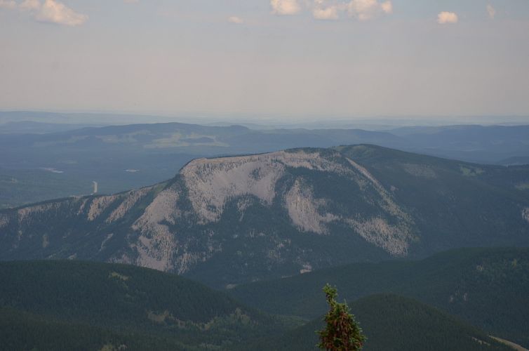
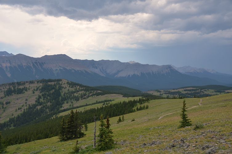
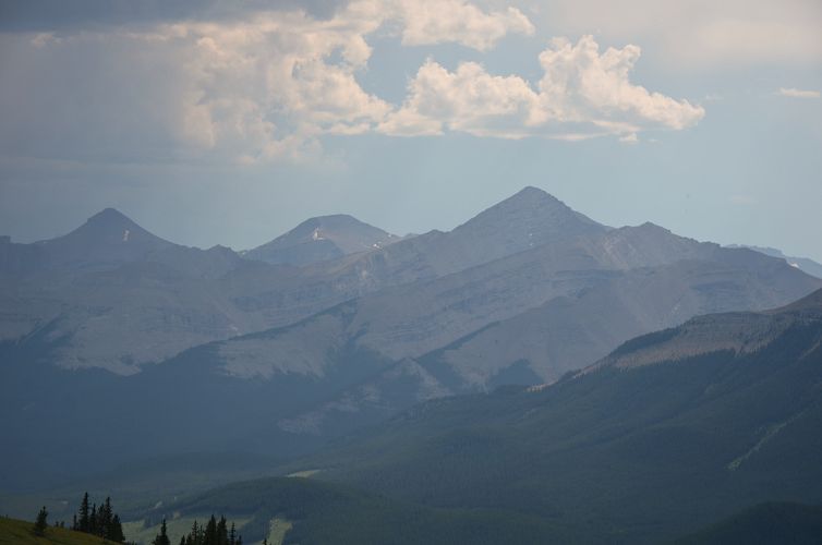
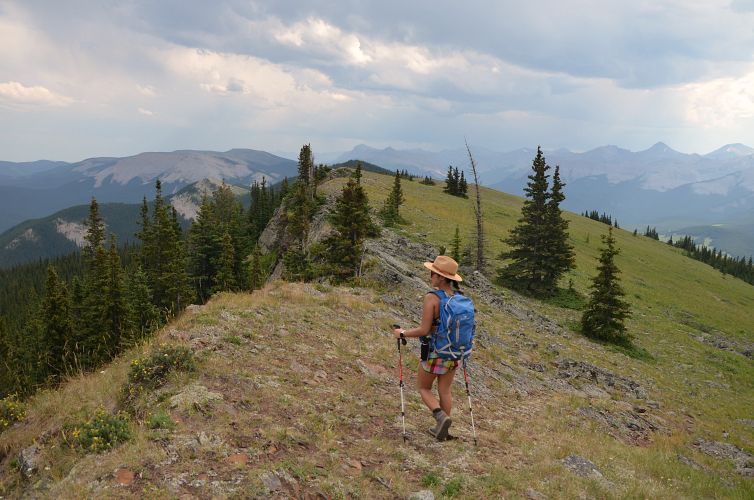
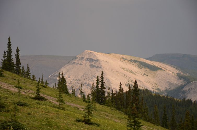
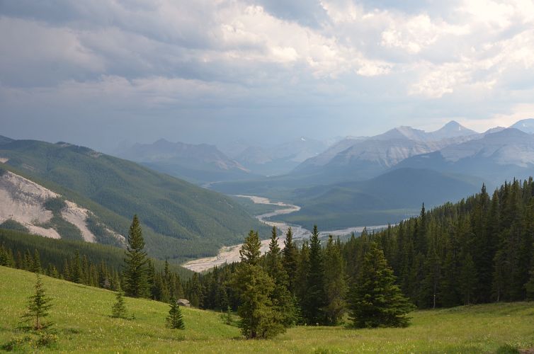
The route is pretty simple. Just follow the trail uphill through the trees, passing by two side bumps on the right (east side) that can be visited as well. It is near and on these side bumps that proper views of the Elbow River valley and nearby mountains open up. After reaching the saddle leading to the second side bump, the trail heads left into the trees, descends a bit, then rises slowly and by way of a few switchbacks emerges on the summit ridge. Finally some views again! Nihahi Ridge, Moose Mountain, Prairie Mountain, Iyarhe Ipan, Forgetmenot Ridge and Mount Glasgow feature prominently in a splendid 360 degree panorama. The summit is only a few steps away from where the trail hits the ridge top. Interestingly, the trail actually continues below the true summit and contours around the ridge top towards the north. If you keep going on the trail, you’ll have the option of descending via either the NW or the NE ridge, but this only works if you have another car parked at Powderface Creek trailhead (see my other trip report).
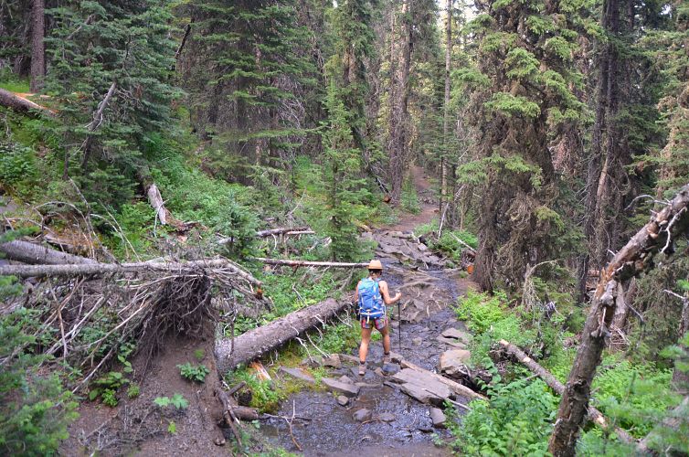
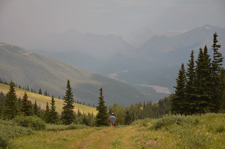
We both agreed that this was a great short workout hike. Better than Prairie Mountain next door in my opinion, but not as scenic as Forgetmenot Ridge across the river. The only disappointing part is that much of the ascent is in the trees – no views but a blessing on a hot day like today!
NOTE: This GPX track is for personal use only. Commercial use/re-use or publication of this track on printed or digital media including but not limited to platforms, apps and websites such as AllTrails, Gaia, and OSM, requires written permission.
DISCLAIMER: Use at your own risk for general guidance only! Do not follow this GPX track blindly but use your own judgement in assessing terrain and choosing the safest route. Please read the full disclaimer here.