Kananaskis, Canada
25 March 2017
Solo
A scenic winter hike
This is a beautiful and relatively short hike ideal for when the bigger peaks around you are still covered in snow. After having done a whole bunch of trips in the Highwood Junction area, I really came to appreciate it for the many easy opportunities it offers for winter or shoulder season outings. There are so many trails and routes all relatively close together, and they’re always uncrowded. My favourites in this area include Mount Burke, Raspberry Ridge, Junction Hill, Bull Creek Hills, and now this one, too!
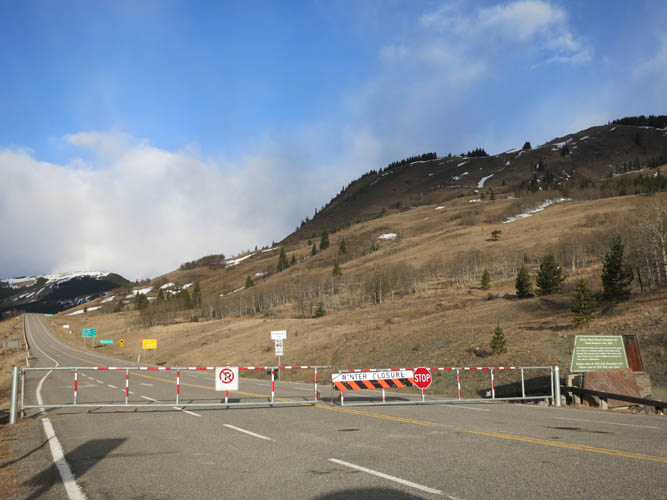
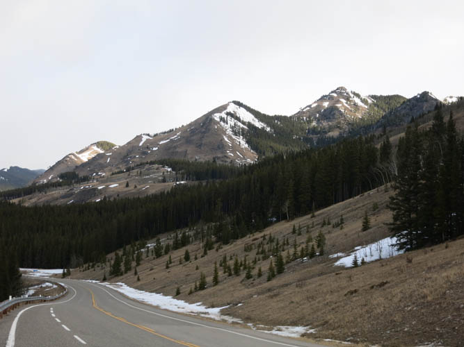
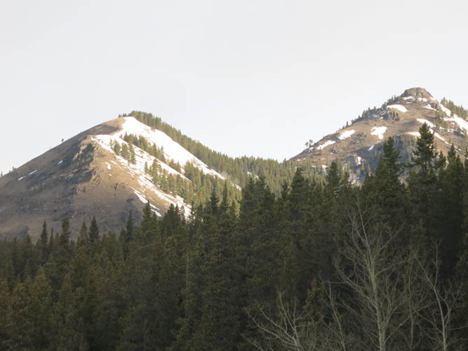
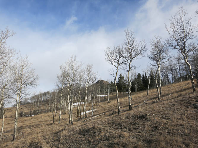
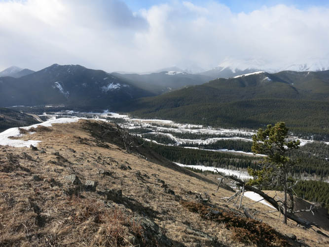
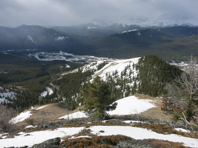
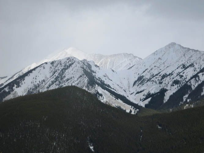
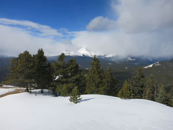
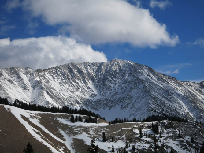
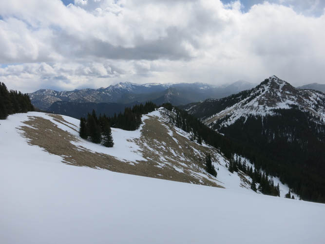
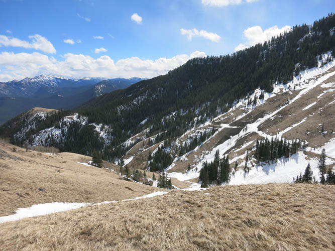
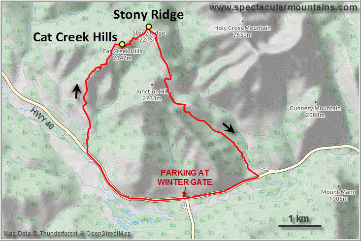
I parked my car at the winter gate of highway 40 (seasonal closure 1 Dec to 15 June) and walked up the road for a few kilometres to a clearing where the trail starts. The ridge is a mix of mellow grassy slopes, rocky crest, and short stretches of dark forest usually on the east sides of the many humps that make up Cat Creek Hills. I really enjoyed the hiking here on this beautiful crisp and sunny winter day.
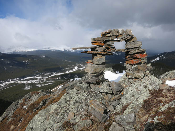
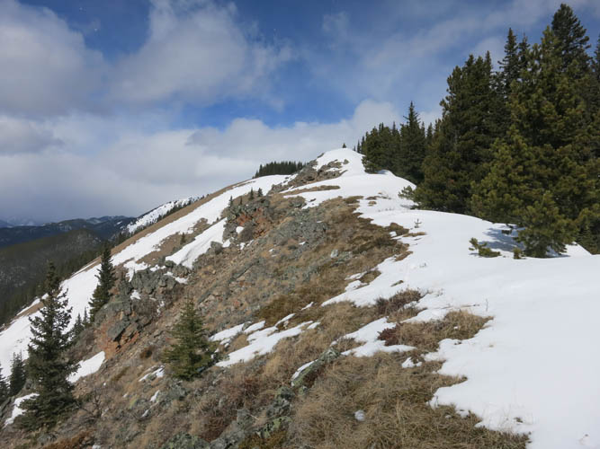
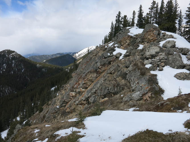
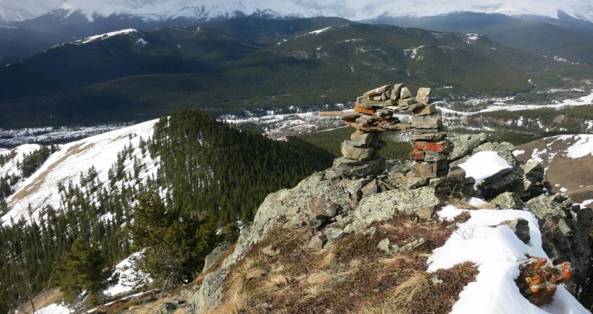
The faint trail ends at a large cairn on the second highest bump, a few hundred metres short of the true summit, which is merely a forested bump further east. I can see why someone cairned this spot – it’s definitely more scenic here than the true summit and the views are better. There really is no point in continuing other than for purposes of claiming the actual high point along the ridge, or for completing a loop that includes Stony Ridge as well.
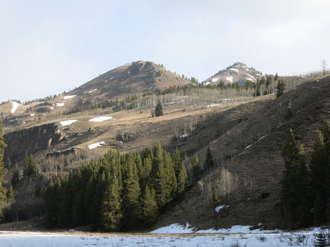
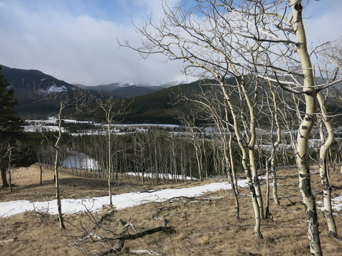
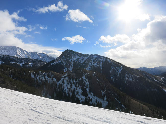
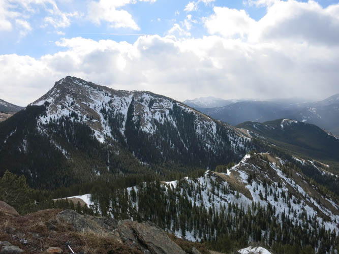
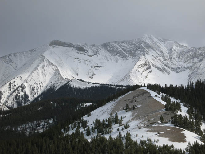
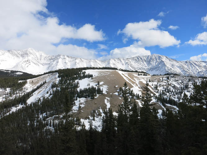
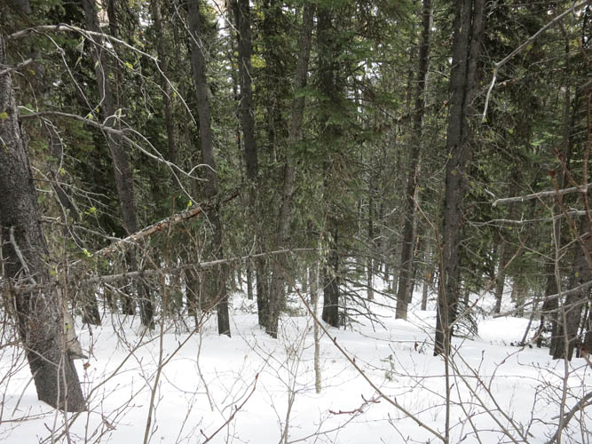
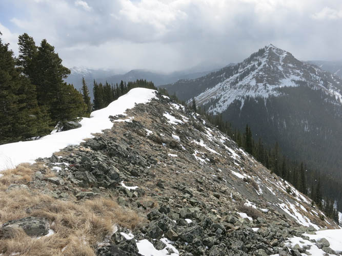
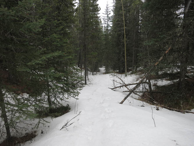
Past the cairn there was more and more snow that had accumulated on the east side of each bump and I was tempted to pull out my snowshoes several times, but ended up not actually needing them. There’s a bigger dip between the summit of Cat Creek Hills and neighboring Stony Ridge and I didn’t really know whether I could easily connect the two or if I might be stopped by a cliff or some other obstacle. No more trail exists here, but it all worked out just fine. The descent was initially quite steep and after a brief section of bushwhacking and a few patches of deep snow in the dip, I was relieved to reach the open grass slopes of Stony Ridge. From here it was an easy plod straight up the slopes to the high point of the ridge.
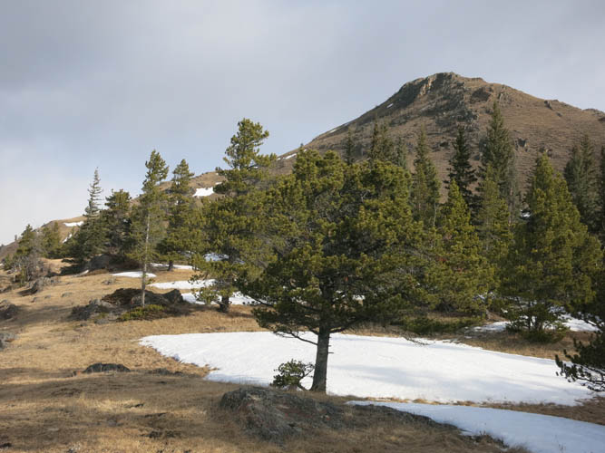
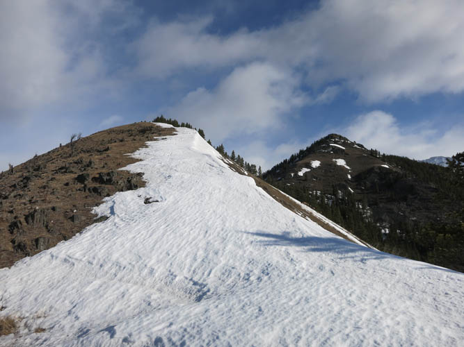
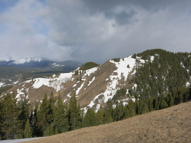
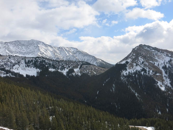
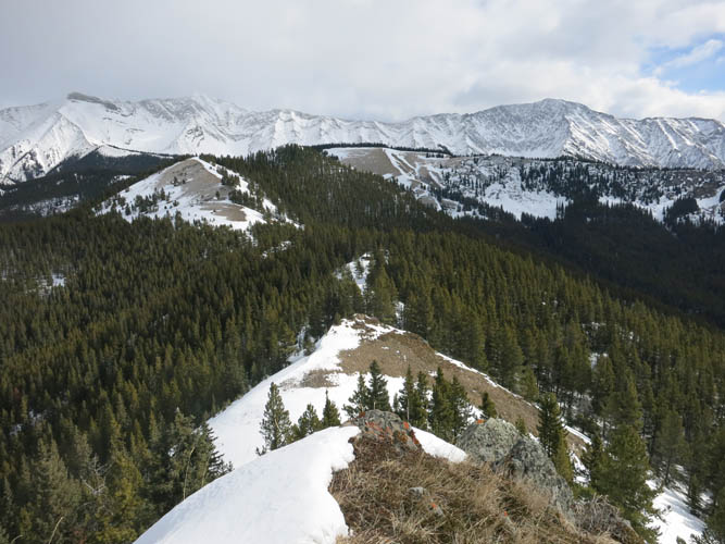
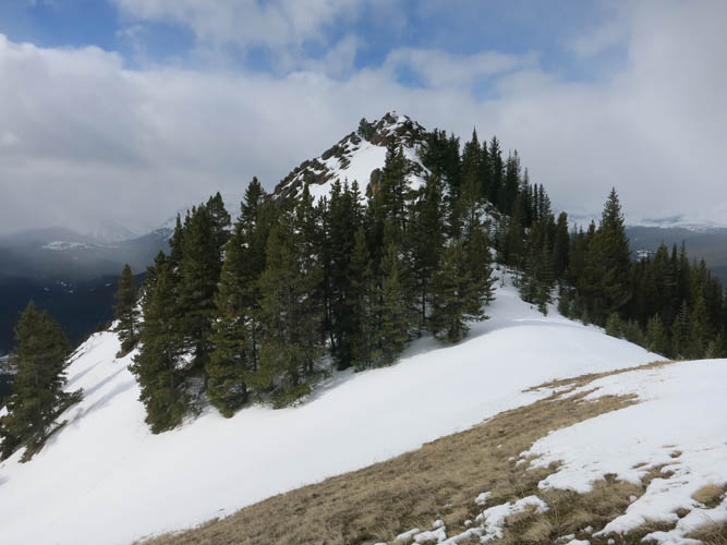
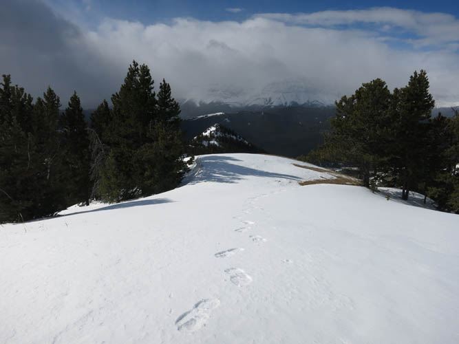
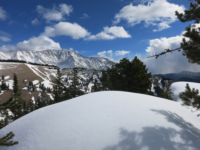
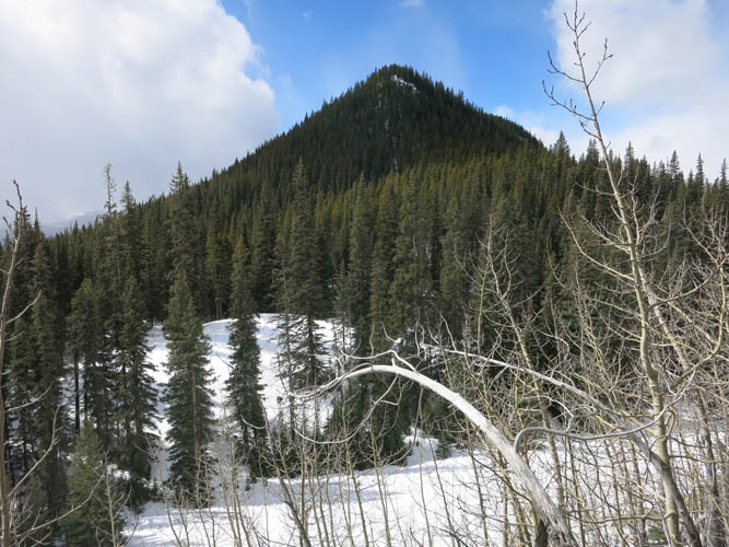
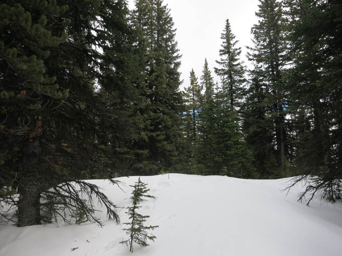
The summit of Stony Ridge is rather unexciting: it’s a small open patch surrounded by trees, so pretty much no views here. More interesting was the hike along the length of the fairly straight Stony Ridge heading south. There is once again a faint trail that straddles the crest between trees on the left and rocky cliffs or gentle grass slopes on the right. A pleasant ridge walk all the way to the NE corner of Junction Hill where a proper path leads back down to the road not far from the gate. Junction Hill could easily be added on as well if conditions permit. However, Junction Hill’s east slopes are quite steep and can be avalanche-prone if snow persists. I had to finally put on my snowshoes here because the snow was getting too deep and soft in the upper part of the path.
A great winter adventure on two lovely ridges!
|
Elevation: |
Cat Creek Hills: 2141 m (my GPS) |
|
|
Stony Ridge: 2207 m (my GPS) |
|
Elevation gain: |
1150 m |
|
Time: |
7 h |
|
Distance: |
15.5 km |
|
Difficulty level: |
Easy (Kane), T3 (SAC) |
|
Reference: |
Local maps |
|
Personal rating: |
4 (out of 5) |
NOTE: This GPX track is for personal use only. Commercial use/re-use or publication of this track on printed or digital media including but not limited to platforms, apps and websites such as AllTrails, Gaia, and OSM, requires written permission.
DISCLAIMER: Use at your own risk for general guidance only! Do not follow this GPX track blindly but use your own judgement in assessing terrain and choosing the safest route. Please read the full disclaimer here.