Invermere, BC, Canada
19 September 2019
With Wen & Sean
Wonderful easy-going larch hike
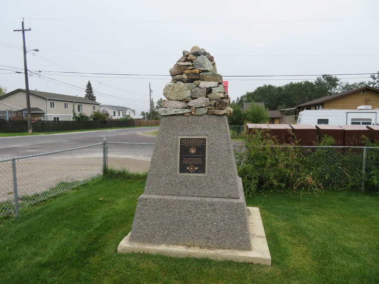
Mount Bruce is a really short and easy hike west of Invermere, BC. It doesn’t appear to see a lot of traffic, which is probably in part owing to the rather lengthy drive to the trailhead. From Invermere you first have to drive to the small village of Wilmer, where famous Austrian alpinist and mountain guide Conrad Kain (1883-1934) once lived with his wife. There’s a neat little memorial cairn outlining some of his biggest accomplishments; the cairn itself is made up of rocks from mountains he climbed all over the world. Even Mount Cook in New Zealand is represented!
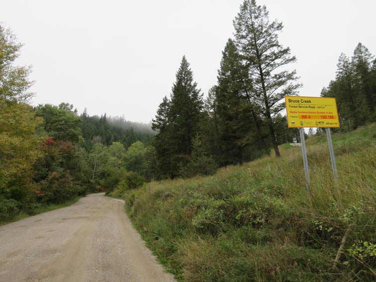
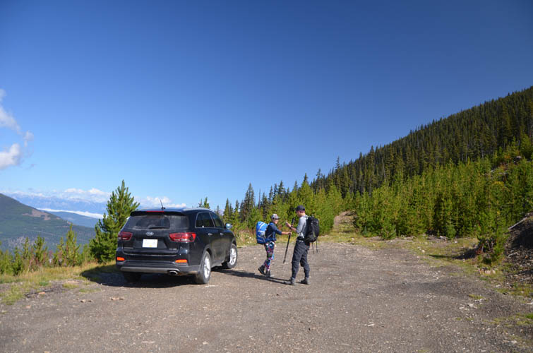
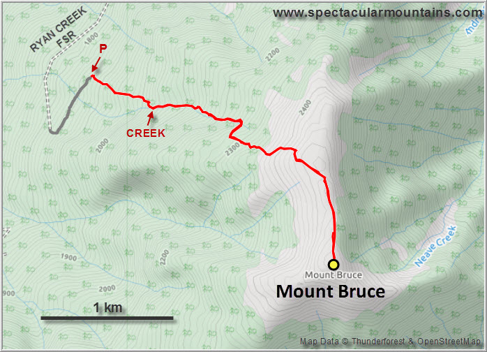
West of Wilmer a rough gravel road, the Bruce Creek FSR (forest service road), runs up a forested valley and then turns into the Ryan Creek main FSR that ends at the trailhead (small yellow flagging). The road is bumpy in places and pretty slow going but we had no trouble driving up with a regular car. There are lots of potholes so when wet you’ll probably need a proper 4WD to make it up here.
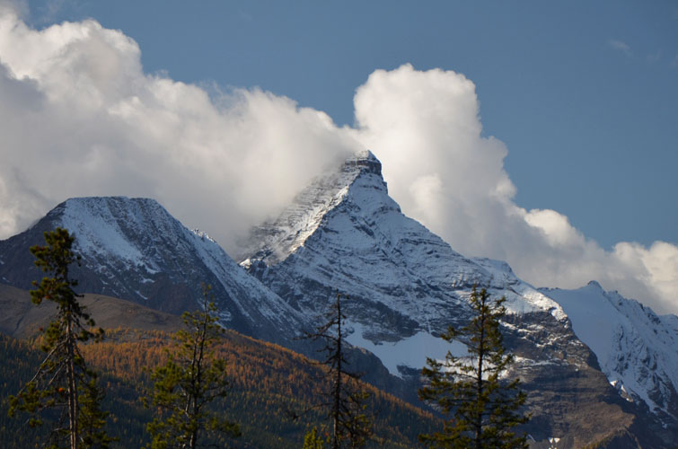
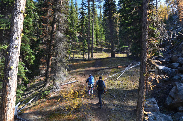
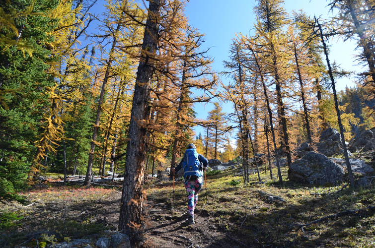
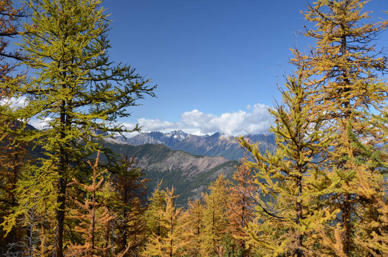
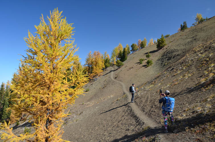
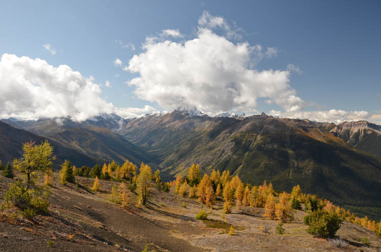
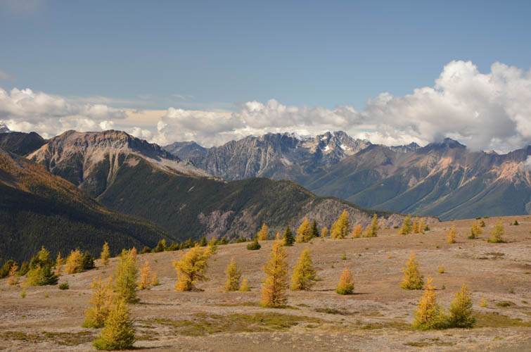
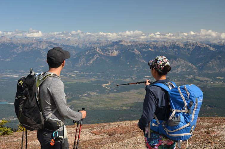
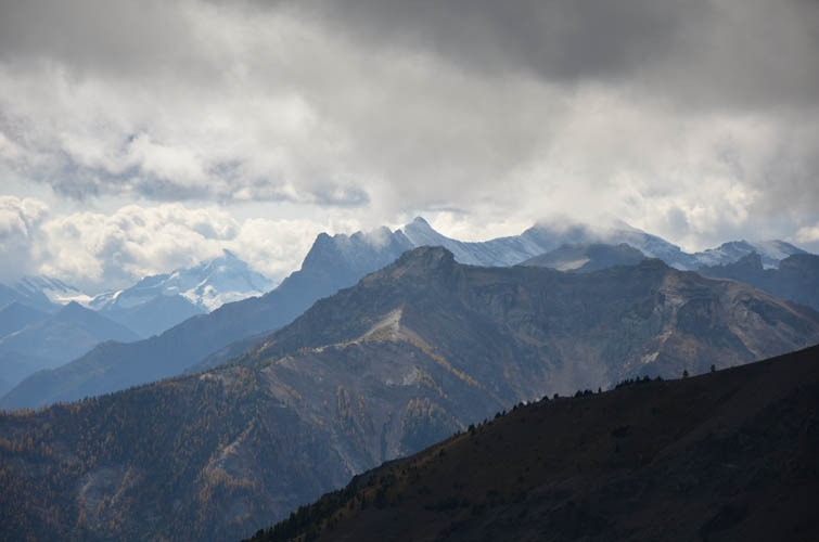
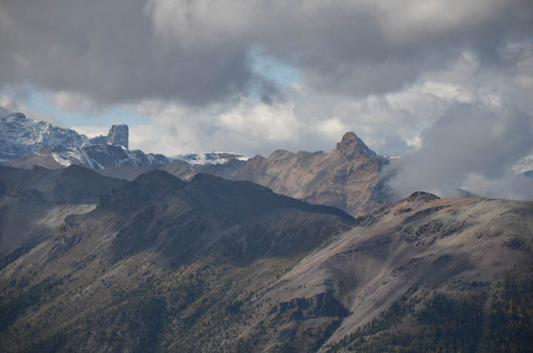
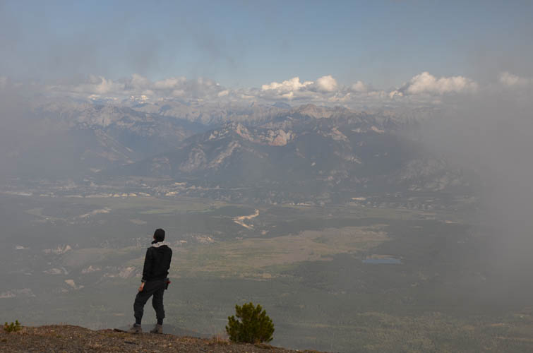
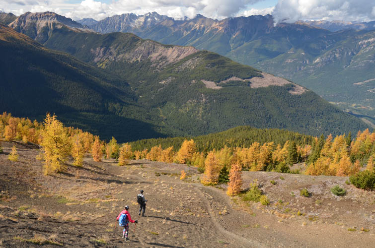
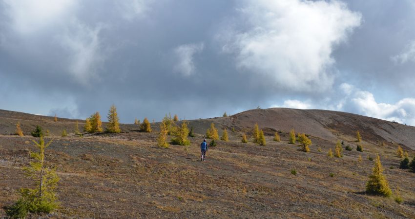
We were all pleasantly surprised by the good trail that goes up the mountain. Climbing steeply through a reforested logged area at first, it then enters older pine and larch forest at a creek and winds its way up next to a boulder field before emerging on open slopes after a while. The trail is quite well-defined, with cairns and flags here and there, but it clearly hadn’t seen any traffic in a long time. Once we were out of the trees, it was a lovely walk across a broad, gentle ridge to the summit. Bright blue skies and the intense orange of the larches below the ridge top made for some stunning scenery. To the east we enjoyed wonderful views of the Columbia Valley with Windermere, Invermere and Radium Hot Springs below.
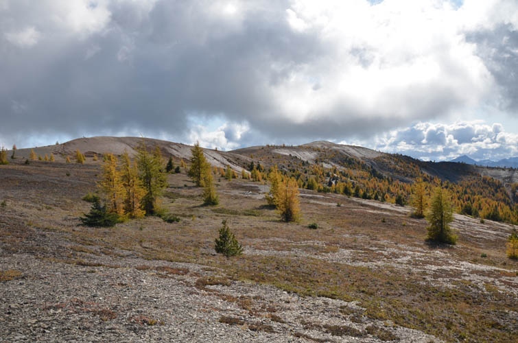
The gentle summit is a lovely spot to while away some time, but a chilly wind soon made us pack up and leave again. It took us barely an hour to get back to the car where we pulled out the frisbee to wind down our short but very enjoyable hike on Mount Bruce.
|
Elevation: |
2507 m (my GPS) |
|
Elevation gain: |
680 m |
|
Time: |
3 h |
|
Distance: |
6.4 km |
|
Difficulty level: |
Easy (Kane), T1 (SAC) |
|
Reference: |
ClubTread |
|
Personal rating: |
4 (out of 5) |
DOWNLOAD ACCESS ROUTE (GPX FILE)
NOTE: This GPX track is for personal use only. Commercial use/re-use or publication of this track on printed or digital media including but not limited to platforms, apps and websites such as AllTrails, Gaia, and OSM, requires written permission.
DISCLAIMER: Use at your own risk for general guidance only! Do not follow this GPX track blindly but use your own judgement in assessing terrain and choosing the safest route. Please read the full disclaimer here.