Calgary Foothills, AB, Canada
29 February 2020
Solo
A good mix of busy trails and secluded off-trail hiking
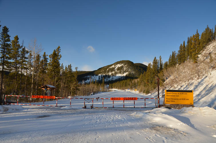
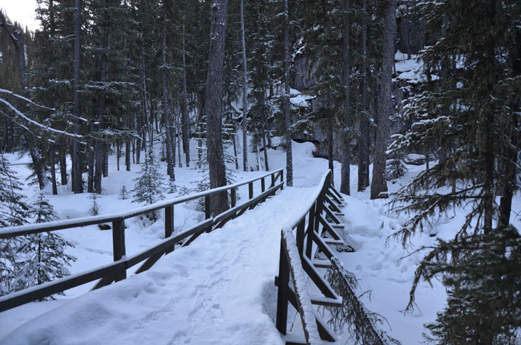
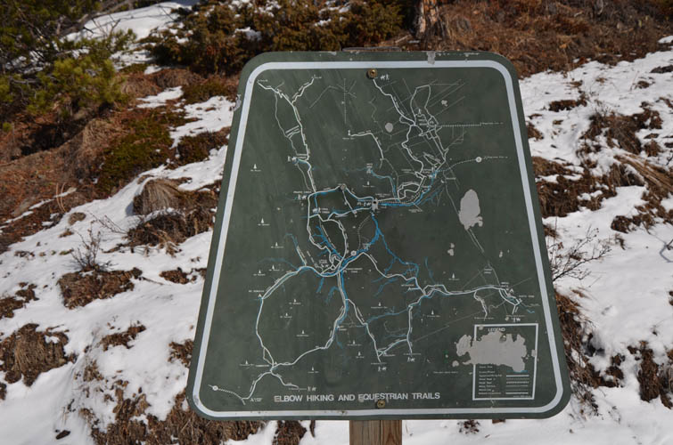
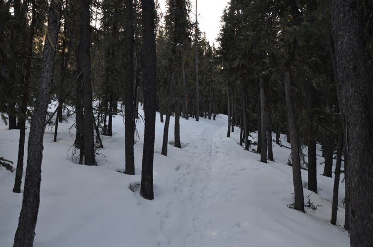
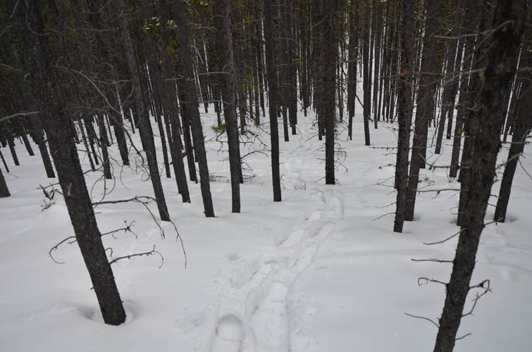
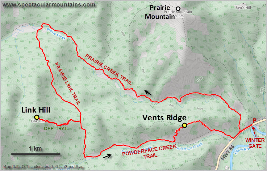
Similar to the Powderface Ridge hike I did a few weeks ago, today’s trip wasn’t the most exciting but still a good workout with some fine views at the end. I had never done the immensely popular 3P hike in one loop, i.e. the trails along Prairie Creek, Prairie Link and Powderface Creek. The trail is so well-frequented, you can almost count on it being packed in the winter without the need for snowshoes. Microspikes would’ve been helpful in a couple of sections, but I did fine without.
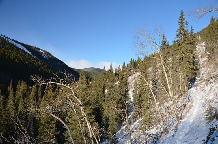
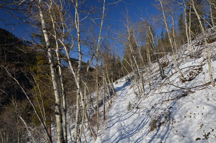
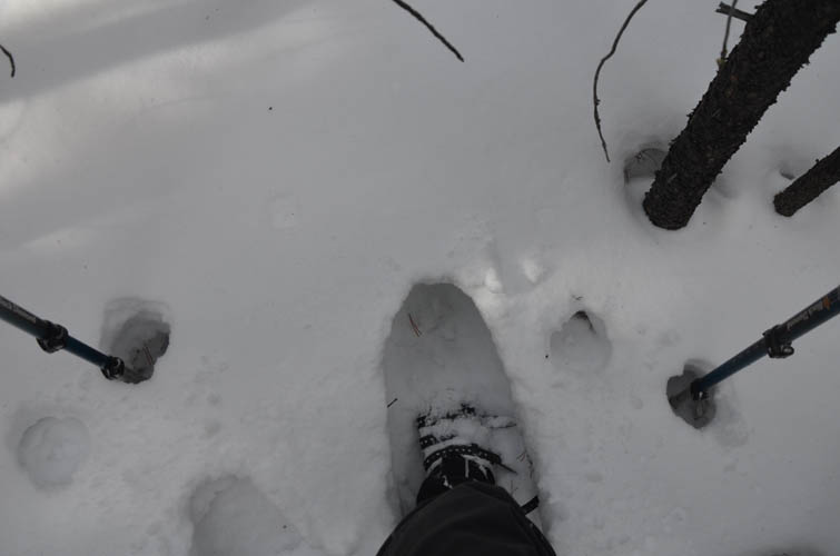
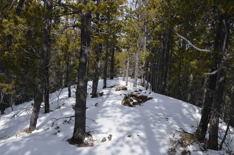
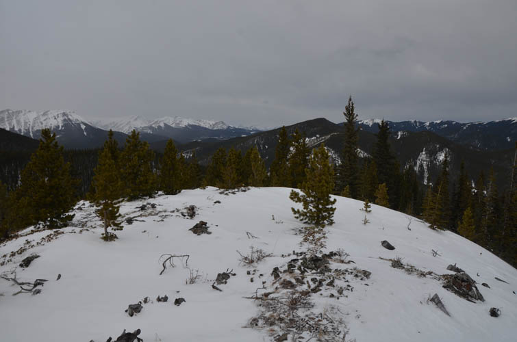
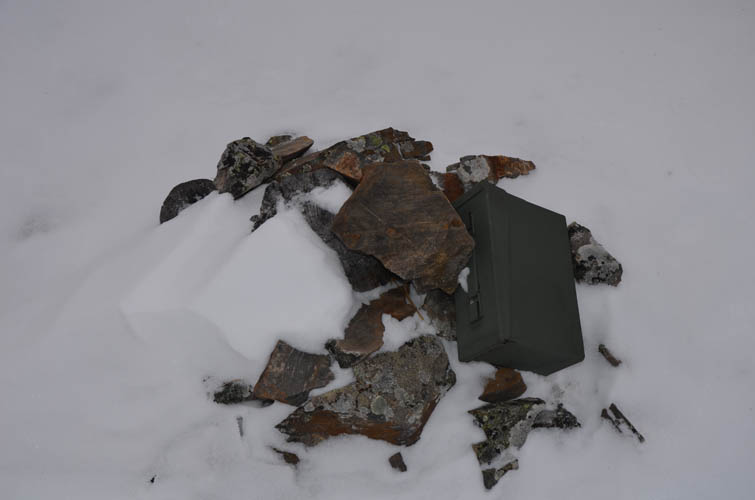
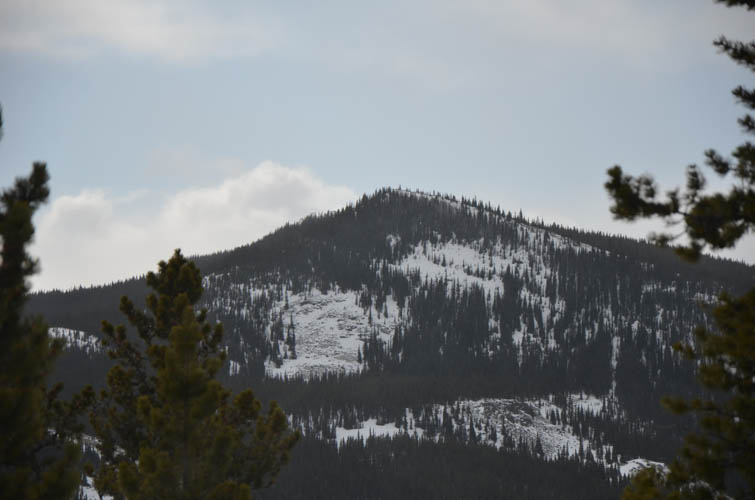
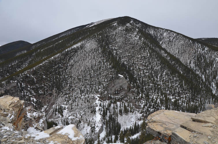
The three trails themselves are nothing special really, it’s just convenient to have a beaten trail in winter and not having to worry about avalanche danger. Most of it is in the trees, with the odd clearing where limited views of the valleys and surrounding forested hills open up. At the highest point of the Prairie Link trail I stopped to take a break and then continued straight west into the forest towards Link Hill. It’s all off-trail here (at least as far as I could tell with the snow cover) and there were no signs of anyone else having been here recently. Soon the snow got deeper and I decided to put on my snowshoes – without them I don’t think I would’ve made it to the top. There were a few small ups and downs and one surprisingly steep section in the forest. Near the top there was a short section of bushwhacking where the trees got uncomfortably tight. Soon after I reached the small open summit area of Link Hill; it appears that someone had cut some trees up here to provide an unobstructed view of nearby peaks including Prairie Mountain, Compression Ridge and Powderface Ridge. To my surprise there was also a big canister with a summit register, the last entry dating back to July 2019.
While snowshoeing up through the forest had been pretty slow and laborious, going down the same way was a breeze and I was back at the trail in no time. Initially I had though about traversing along the ridge top all the way to Vents Ridge, but in light of my slow progress in the snow I decided to follow the path down to Powderface Creek and then re-ascend along the established trail instead. I’m glad I did as the plan worked out well.
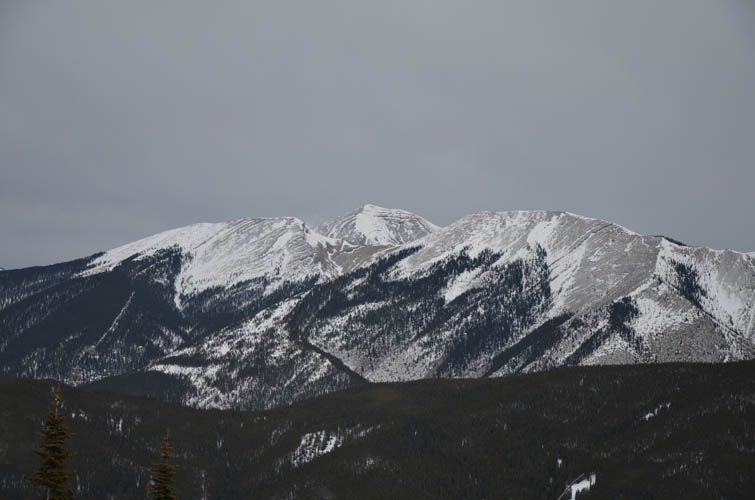
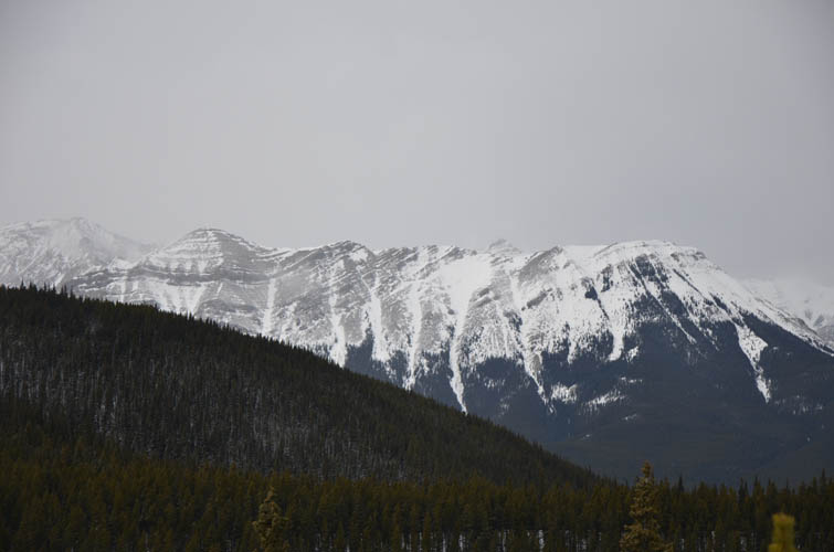
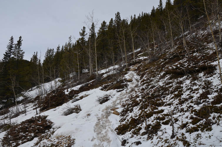
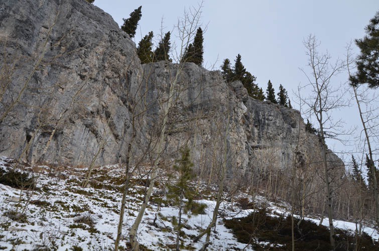
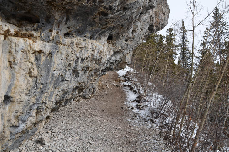
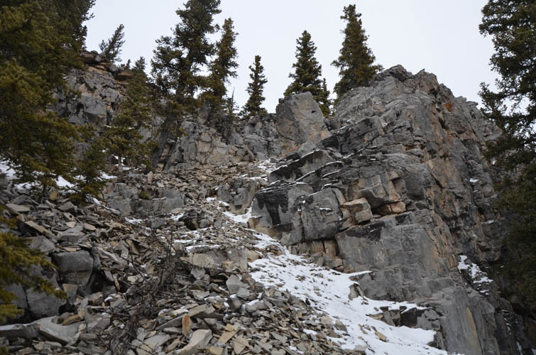
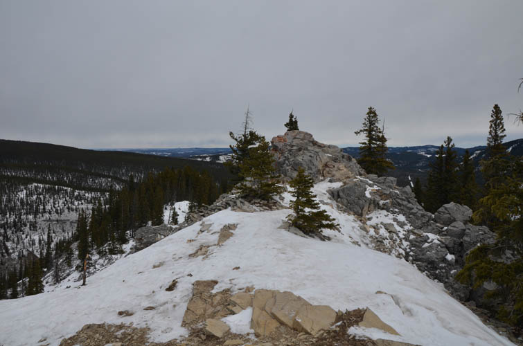
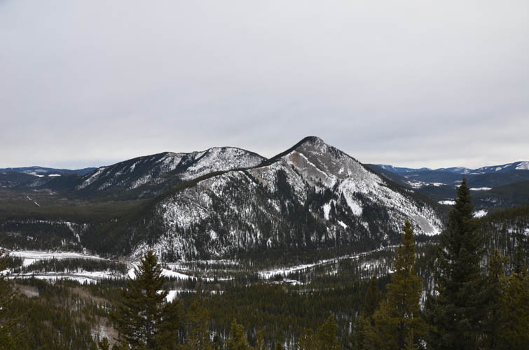
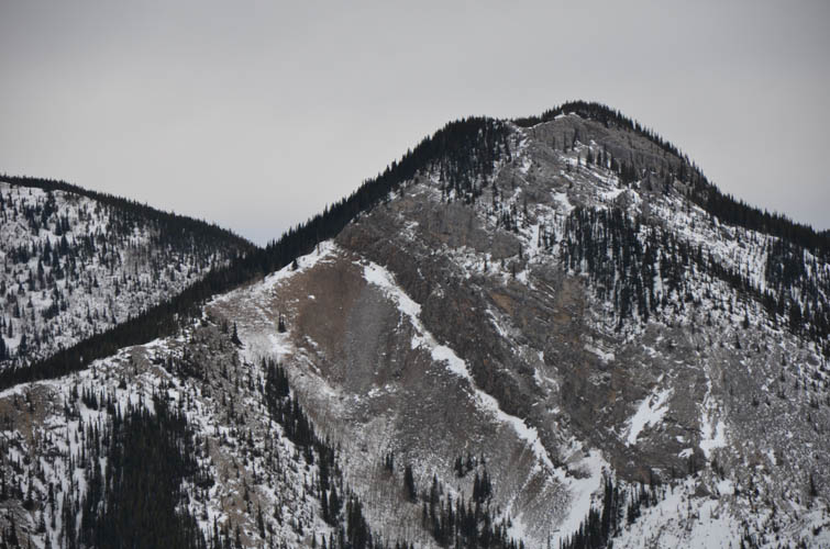
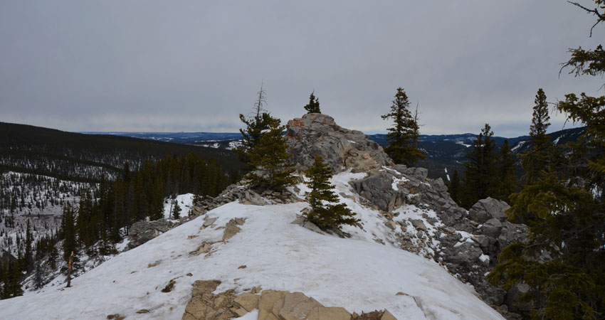
The trail from Powderface Creek Trail up the south side of Vents Ridge is short and steep, but much more interesting than the 3P trails. The terrain is open so there are views almost all the way up until you reach some cool grey limestone cliffs, some partially overhanging, that are used for rock climbing in the summer. Once on top of the narrow ridge the actual high point – a small pointy crag jutting out – was a only a few metres away. I continued through patches of snow and trees towards the east end where an open ledge above a small cliff offers fantastic views of Iyarhe Ipan across the Elbow River.
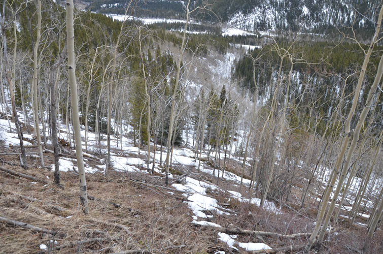
The grassy slopes of Vents Ridge east side make for a quick though slippery descent back down to a trail that hugs the north side of Powderface Creek. Following the trail back out to the road, I was back at my car after a total of 6 hours of good winter hiking and snowshoeing!
|
Elevation: |
2207 m (my GPS) |
|
Elevation gain: |
850 m |
|
Time: |
6.5 h |
|
Distance: |
16.8 km |
|
Difficulty level: |
Easy (Kane), T3 (SAC) |
|
Comments: |
NE ridge descent route can hold plenty of deep snow in winter. |
|
Reference: |
Daffern |
|
Personal rating: |
3 (out of 5) |
NOTE: This GPX track is for personal use only. Commercial use/re-use or publication of this track on printed or digital media including but not limited to platforms, apps and websites such as AllTrails, Gaia, and OSM, requires written permission.
DISCLAIMER: Use at your own risk for general guidance only! Do not follow this GPX track blindly but use your own judgement in assessing terrain and choosing the safest route. Please read the full disclaimer here.