Sulaymaniyah, Iraq
7 November 2018
Solo
A wintry scramble in Iraq
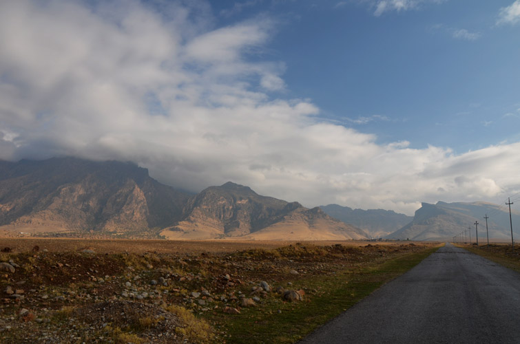
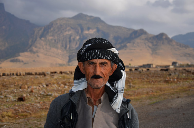
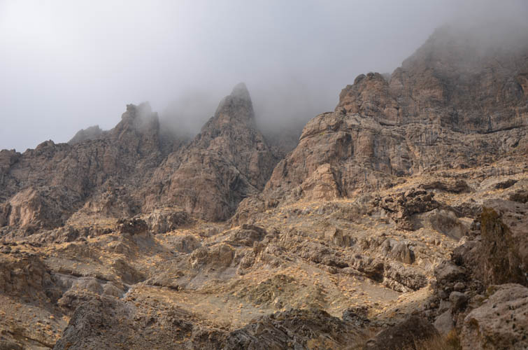
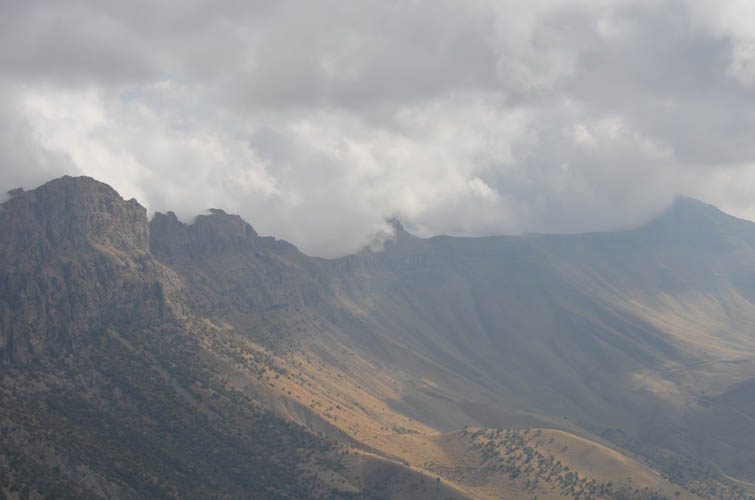
Piramagrun (spelling variants: Piramagroon, Birah Magrun) is the most recognizable mountain around the city of Sulaymaniyah, visible as a prominent rocky massif from the main highway coming from Dukan. Amongst the locals everybody knows this peak, but not too many people seem to have climbed it. I had been planning an ascent for the past week but various things got in the way, including some very rainy weather for the last few days. We were about to leave Sulaymaniyah to continue our van trip, so with a short, sunny weather window in the forecast for today, it was now or never!
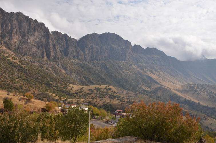
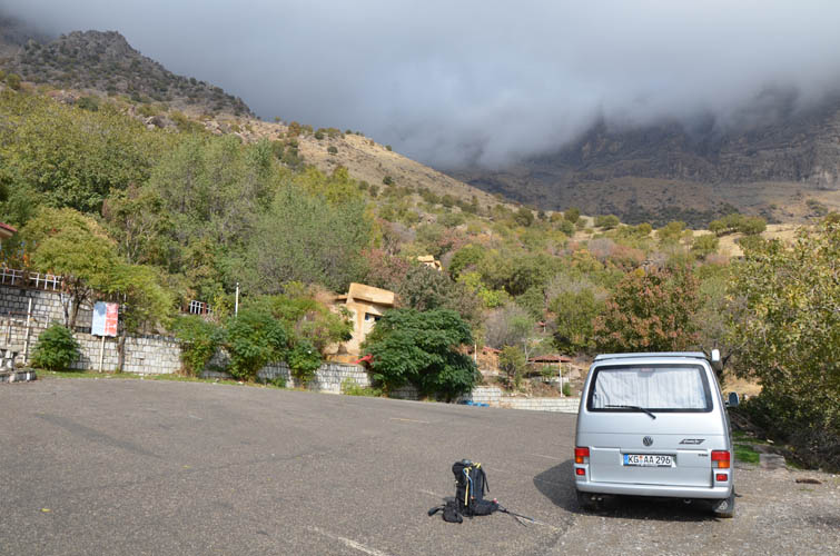
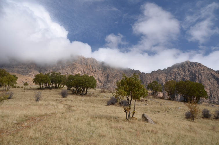
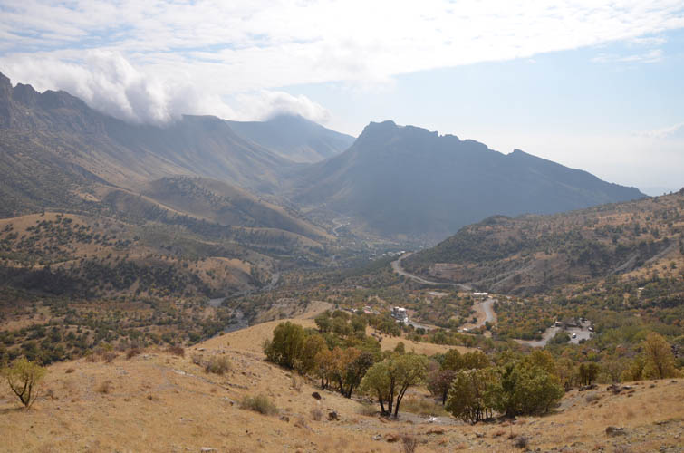
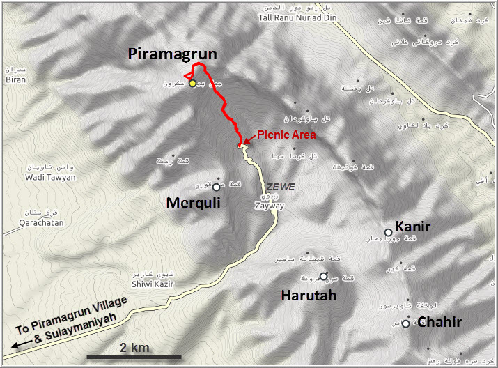
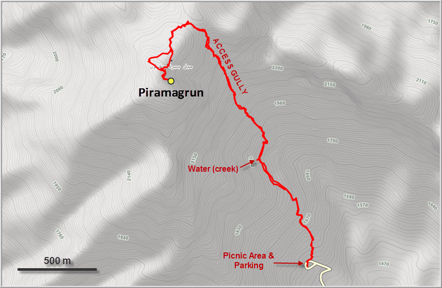
There isn’t much information out there on this hike – a scramble really – with the notable exception of a route shown on Wikiloc which I used for guidance and to find the trailhead. You basically drive about an hour from Suly on the main highway northwest, then follow a smaller road to Zewe (signposted), a small village perched in a beautiful little valley surrounded by steep ridges, peaks and Piramagrun itself. The road continues for a few km past Zewe to a small rest area with huts, water taps and toilets. In the summer, locals love to come here for family picnics or just to find a quiet spot to drink under the shady walnut trees.
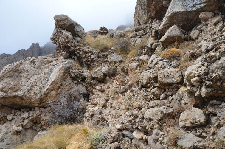
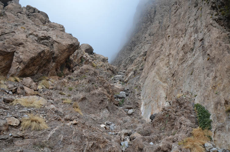
The rest area sits at 1680 m elevation, so there was only about 1000 m left to the summit. The trail starts by a rusty gate about 30 m before the huts are reached. It’s pretty easy to follow at the beginning up until a small water catchment structure, where creek water is funneled into a pipe leading down to the village (good spot to refill your bottles). After this spot, there are a few washouts along the trail, which first veers right (northeast) for about 100 m, then climbs a small rib leading up to the ascent gully. A few cairns here and there make routefinding easier, but having a GPX track is definitely helpful.
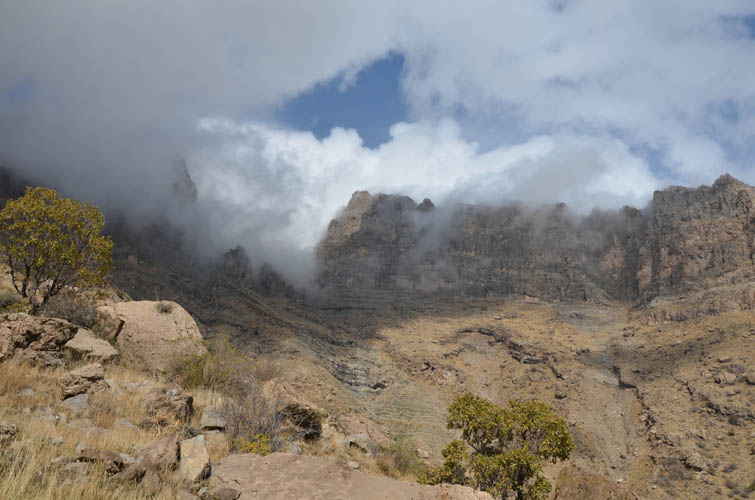
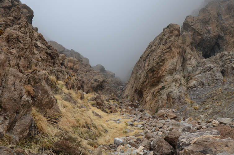
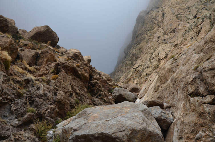
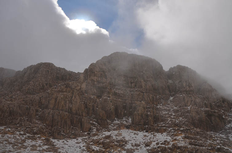
Huge vertical cliffs surround the entrance to the ascent gully, with numerous intriguing geological features including rock towers, small caves, overlapping folded strata, and a bizarre layer of coarse breccia that looks like it was cobbled together by hand. The gully itself is fairly steep and narrow, and I was delighted to finally put my hands at some nice moderate scrambling challenges again. There are a few steep steps up some boulders stuck in the gully, but the real challenge is the loose terrain: on the way back I almost slipped twice while placing my foot on a loose rock. It’s terribly crumby here and I was sure glad I had my hiking poles with me.
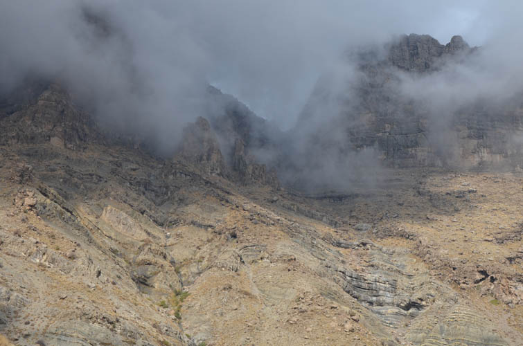
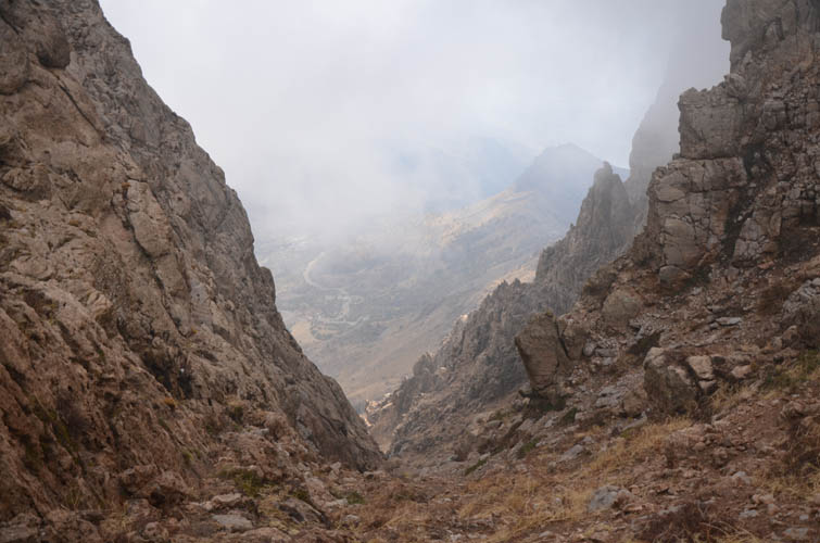
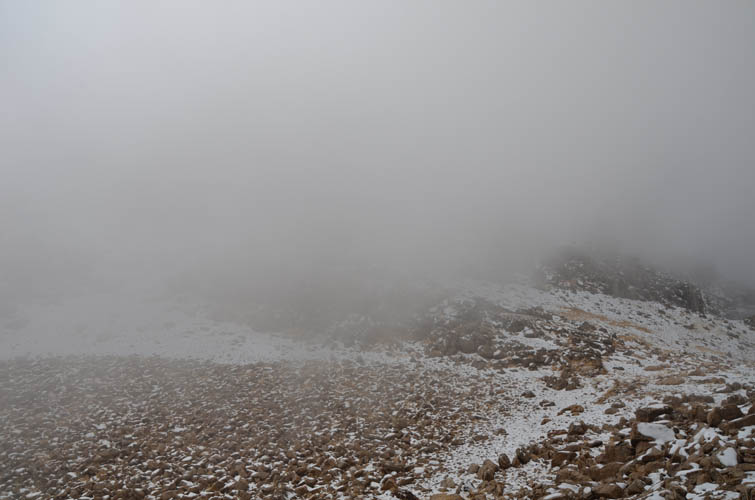
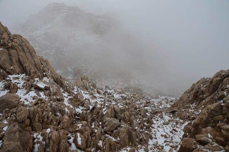
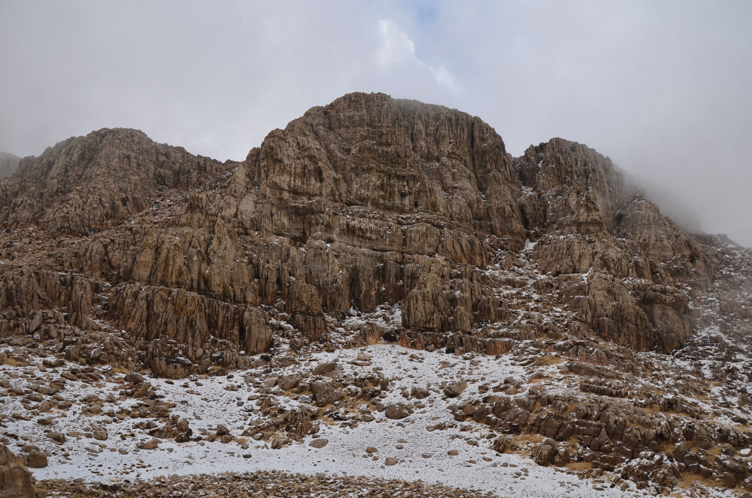
At the top of the gully the route turns left (west), but dense clouds had moved in and the ground was now covered in a thin layer of snow such that I couldn’t see any evidence of a trail anymore. I roughly followed the plotted route on easy terrain to the summit mass, which I ascended on the far right (moderate scrambling). The proper route, however, is much easier and goes up a gentle gully further to the left as I discovered on the descent. There are few landmarks to orient yourself and with poor visibility it’s easy to miss the correct gully, so having a GPX track is definitely a huge plus.
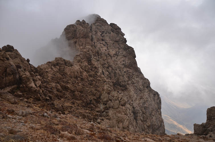
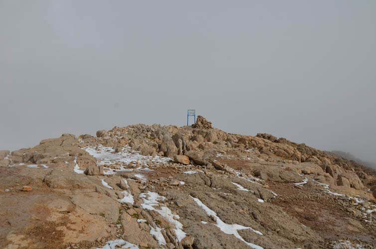
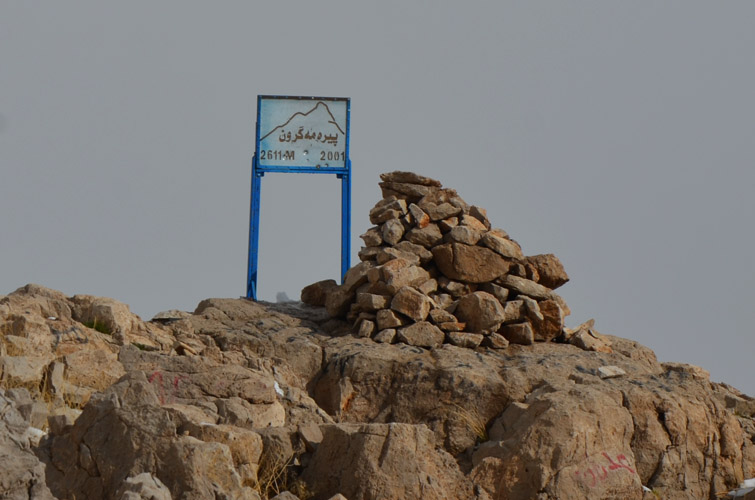
A small sign with the mountain’s name in Kurdish and the official elevation of 2611 m sits right at the summit. I would’ve loved to have some views from up here, but it wasn’t meant to be. There were simply too many clouds moving around and I was lucky it didn’t start to snow.
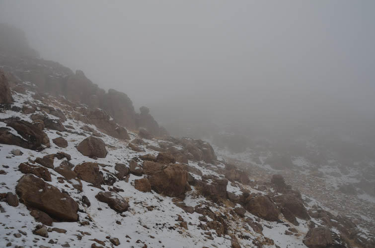
After a short summit break I returned the same way by retracing my footsteps in the snow. The descent down the gully with all the loose rocks was probably the least enjoyable part, requiring full concentration to avoid trips and slips. I was back at the car a little sooner than expected. Although I missed out on some views from the top, the majestic landscape around the cliffs and the peaceful hike along the snow-covered ridge in the clouds made for a fantastic experience in Iraqi Kurdistan’s mountains.
| Elevation: | 2611 m (official), 2602 m (my GPS) |
| Elevation gain: | 1110 m |
| Time: | 5 h |
| Distance: | 7.3 km |
| Difficulty level: | Moderate (Kane), T4 (SAC) |
| Reference: | Wikiloc |
| Personal rating: | 4 (out of 5) |
DISCLAIMER: Use at your own risk for general guidance only! Do not follow this GPX track blindly but use your own judgement in assessing terrain and choosing the safest route.