Banff National Park, AB, Canada
26 & 27 June 2021
Solo
A long approach into a quiet and beautiful corner of BNP
A super spontaneous trip that thankfully worked out great on all accounts. I had no idea I was climbing Sira Peak until literally half an hour before I set off… Initial plan had been to join Vern on his trip up Psychic a day before, but I was feeling a bit drained from my second Covid vaccination earlier this week. Even today I didn’t roll out of bed until late and by the time I got to Lake Minnewanka – hoping to go for Psychic alone – the parking lot was full. It was a zoo of people, all flocking to some body of water to seek respite from the intense heatwave that was currently scorching western Canada with temperatures up to 38 degrees.
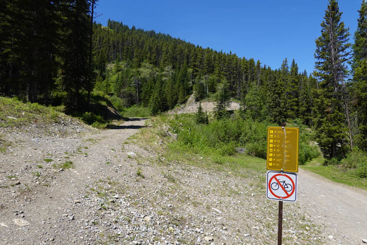
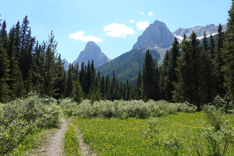
No wonder I felt sluggish and slow when I started trudging up the trail from Norquay ski resort in the afternoon sun. The approach to Sira Peak is long, but it’s all on a good trail and mostly in the trees so at least I had some shade. In that regard it was actually a good choice for such a hot day.
Located north of Mount Brewster, Sira Peak is the only other named peak of the Vermilion Range although it’s not an official name. In David P. Jones’ Rockies Central Climbers Guide the peak is referred to as V10, with all the highpoints of the range numbered V1 to V12 from south to north. The first recorded ascent of Sira Peak was by John Martin in 1987 via Elk Lake Pass Trail and the south ridge.
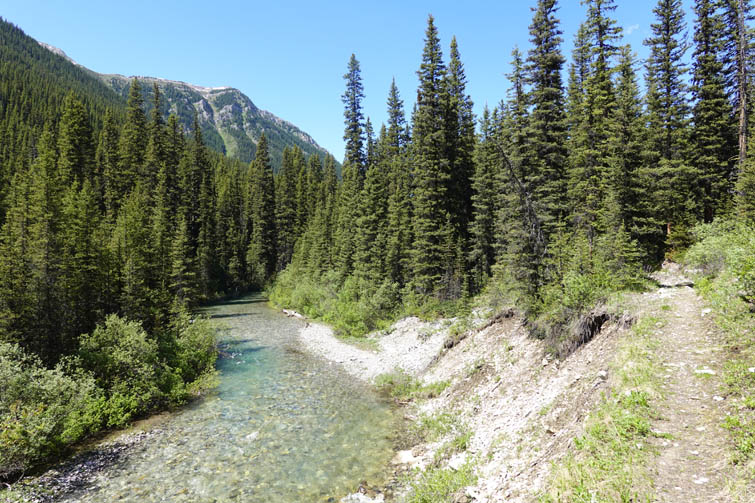
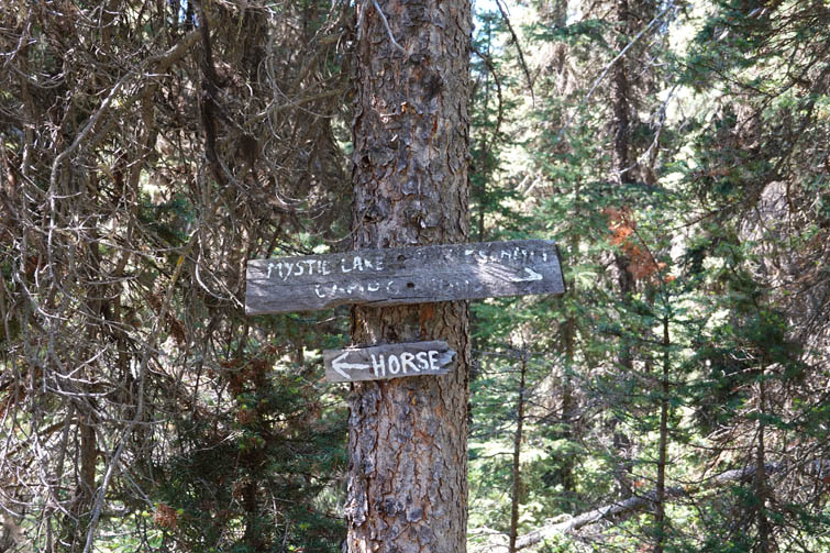
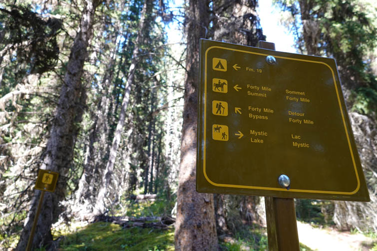
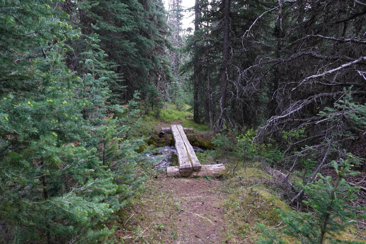
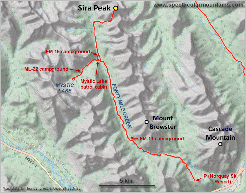
My route took me up Forty Mile Creek, which has an excellent wide trail on the east side for the first 16 km (seems to have been a former ATV track). At the turn-off to the Mystic Lake patrol cabin the trail narrows and becomes less well-trodden, a reflection of the fact that most people that head up here are going for Mystic Lake. Still, I was surprised by the many log bridges that have been built over side creeks along this upper section of trail.
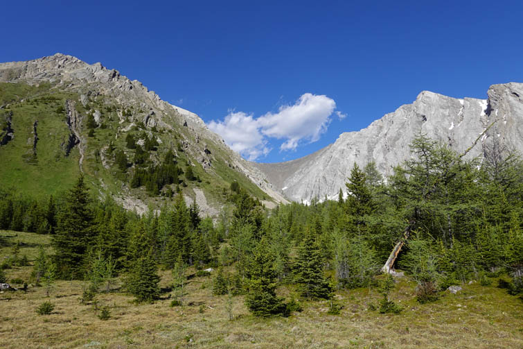
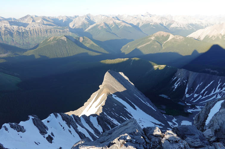
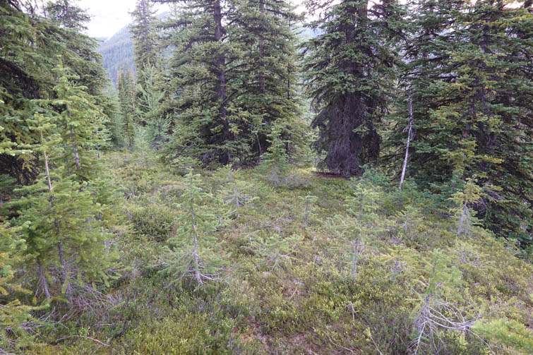
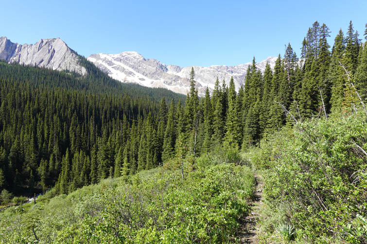
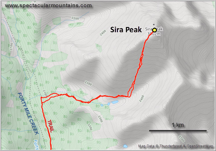
I dropped off my heavy overnight pack at the FM-19 Mystic Junction campground, which is 150 m from the main trail right by Forty Mile Creek. It was such a joy to finally hike with just a day pack and I felt like I was flying up the rest of the trail. There is a major creek that drains the SW side of Sira Peak and then flows down the west side of the mountain range. At the point where this creek intersects Forty Mile Creek Trail I made a sharp right and headed uphill through light forest, the creek always within earshot. Higher up near treeline it it became easier to cross to the north side of the creek and circle around a stretch of forest and boggy land just by a couple of small alpine tarns. What a lovely valley up here! Pristine and peaceful, no signs of human activity, the stillness only interrupted by the odd high-pitched shriek of marmots living under the rocks. The temperature was perfect now that it was evening and I was kind of glad I had started late.
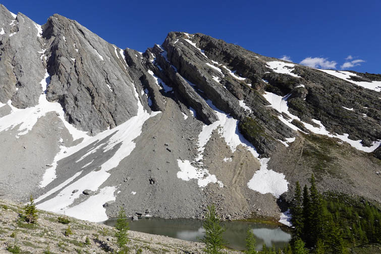
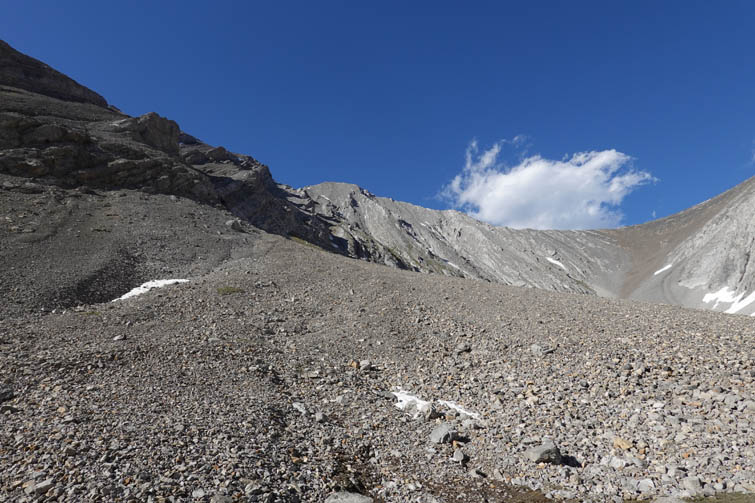
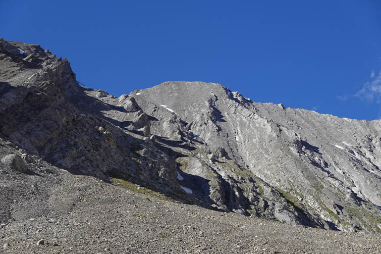
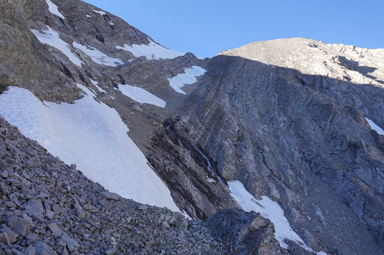
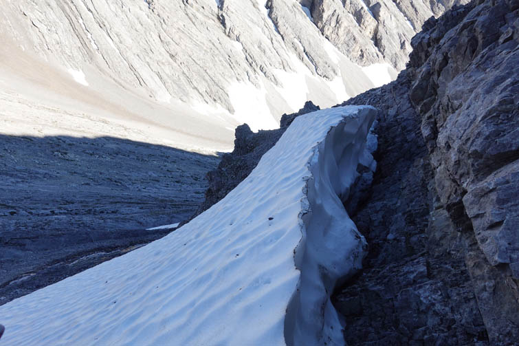
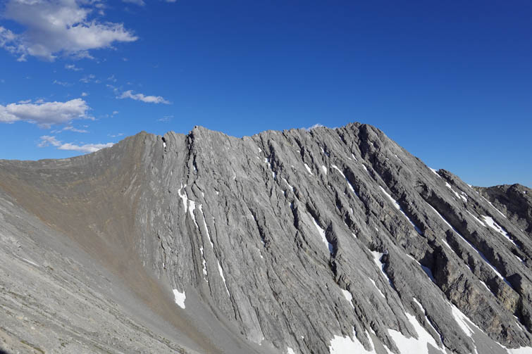
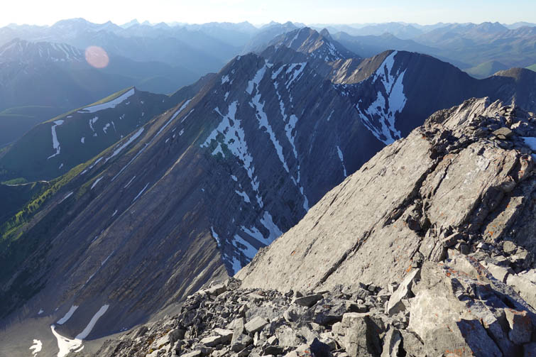
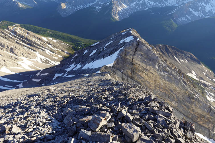
There are probably many different possible routes up the south slopes of Sira Peak. The key is not to go up too early and end up getting cliffed out along the many overhanging west-dipping beds. It’s the same story all along the entire Vermilion Range, including Mount Brewster, so approaching via the west ridge would likely end in disaster – at least for the scrambler. I found a good line up the first main gully that had some patches of snow to kick-step up. The rest was a mix of solid rock ribs and a bit of loose choss, with the exception of one steep snow and ice slope that I later bypassed on my way back. This was the only dicey section for me today – I was able to kickstep up the snow until it got too steep and exposed, then I ended up in the gap between the snow and a vertical cliff instead (called a randkluft) which required some awkward climbing moves on rock and ice. Absolutely unnecessary of course, as I was able to easily avoid this section on descent!
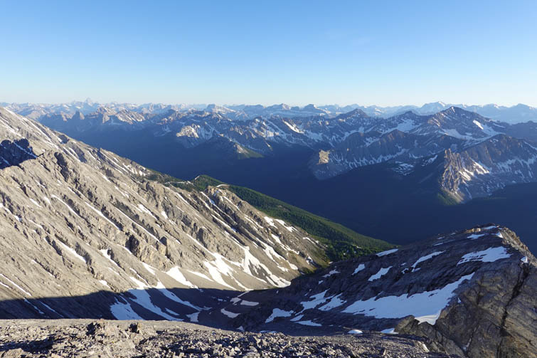
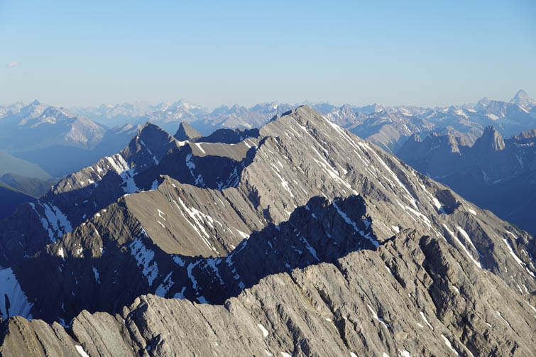
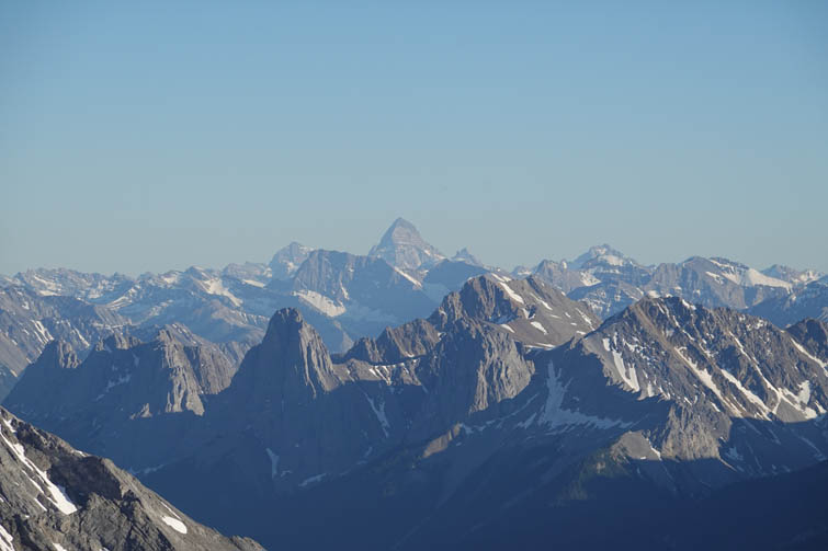
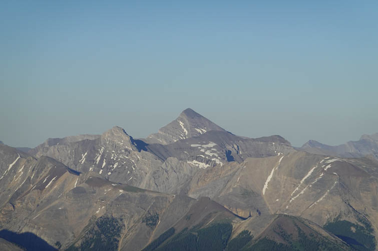
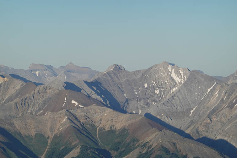
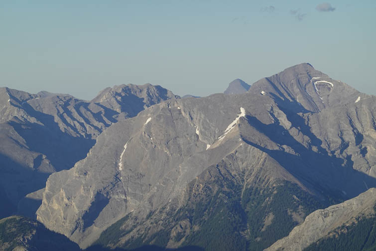
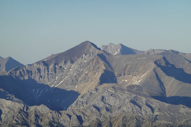
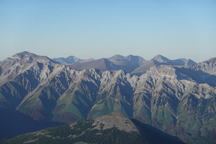
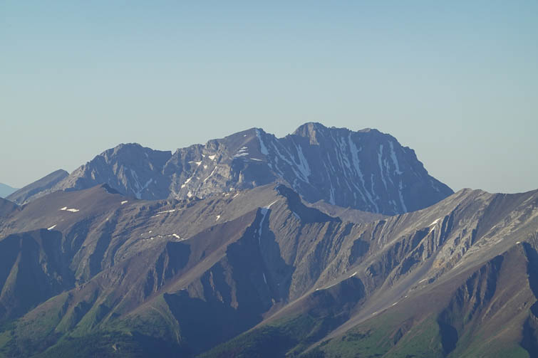
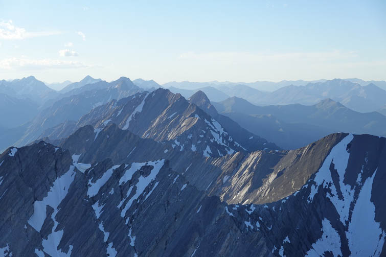
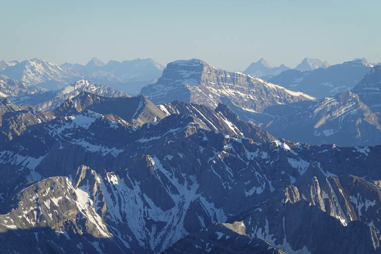
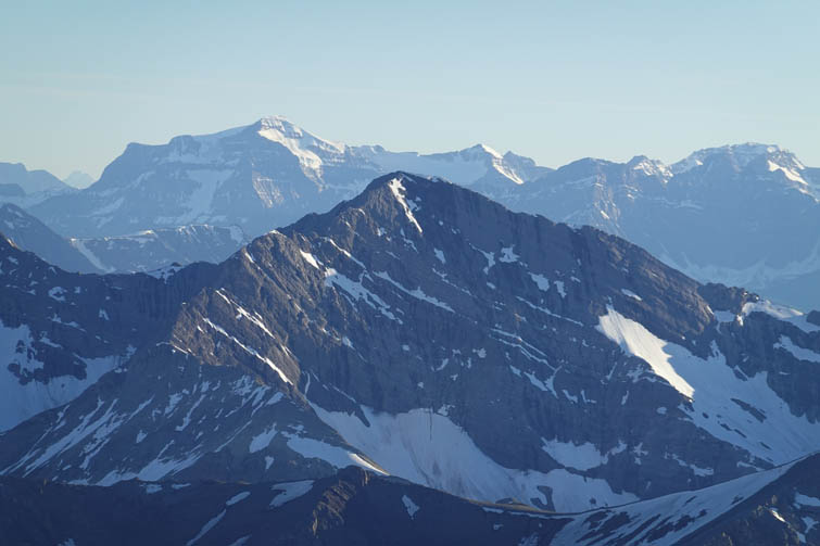
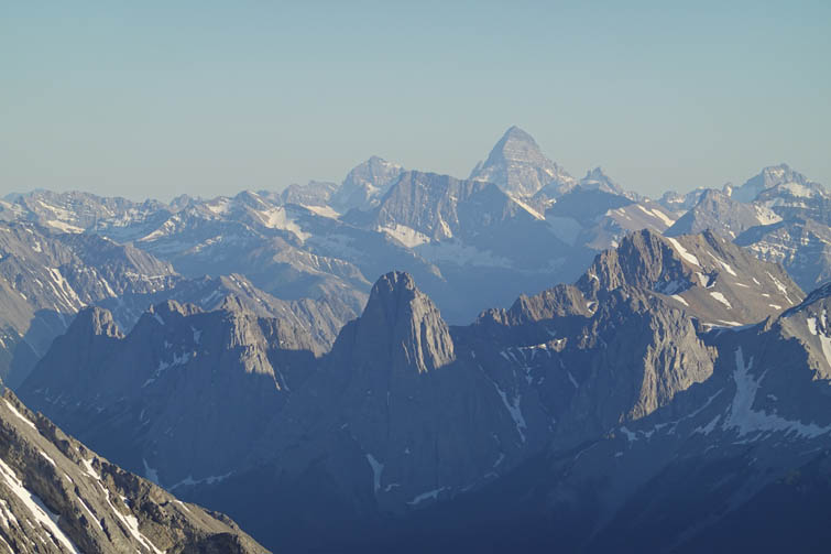
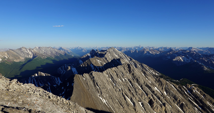
Once I was on the west ridge just below the summit it was another 15-20 minutes of easy to moderate scrambling to the summit cairn of Sira Peak, with fantastic clear evening views all around me. It was 8:30 PM and still quite warm and windless, truly a beautiful place to spend a summer evening.
After taking a good break and snapping tons of pictures I descended exactly along the same line. Occasional soft scree and the snow patches made for a very quick and enjoyable descent. I still had some daylight left when I reached the trail, but by the time I got back to the campground at 11 PM it was dark. Being the only visitor today, I had a very quiet dinner at the picnic table in the dark forest – a bit eerie but I was so tired I didn’t care…
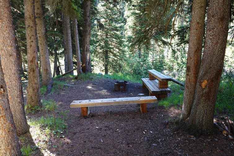
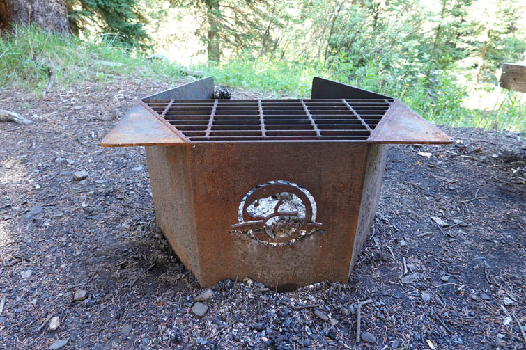
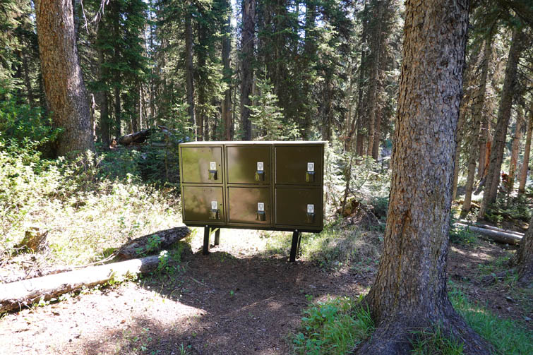
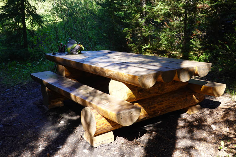
The next day I slept in and took my time getting ready in the morning, knowing that it was going to be a pretty relaxed and short day to Mystic Lake and then back out. I had really enjoyed this backcountry campsite, which had very recently undergone maintenance and upgrading work. Everything seemed new or freshly painted – the bear boxes, massive picnic table, four benches around an iron-cast fire pit with Parks Canada logo on it, the five tent pads, and even the log bridge over Forty Mile Creek. Kudos to Parks Canada for a fantastic job!
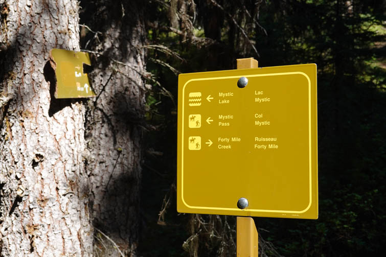
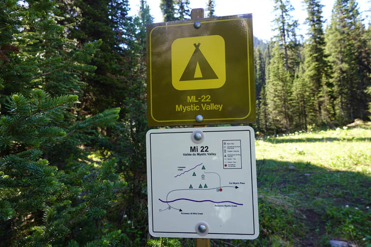
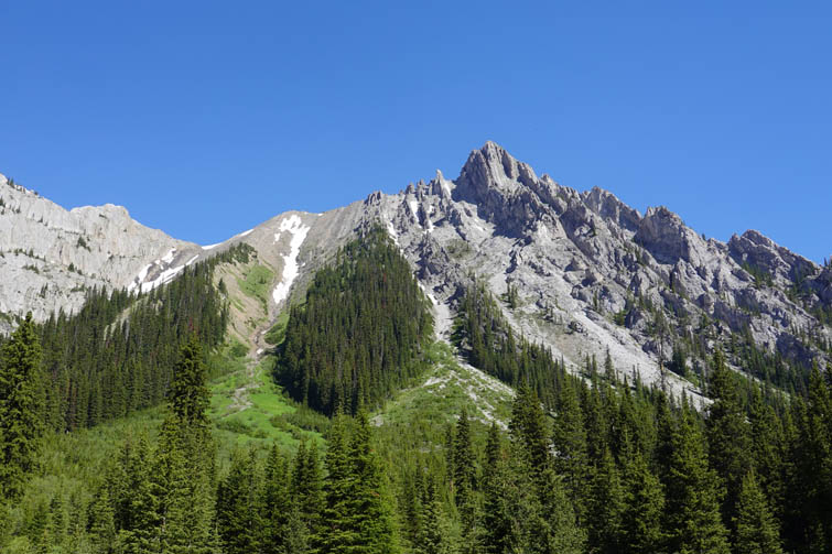
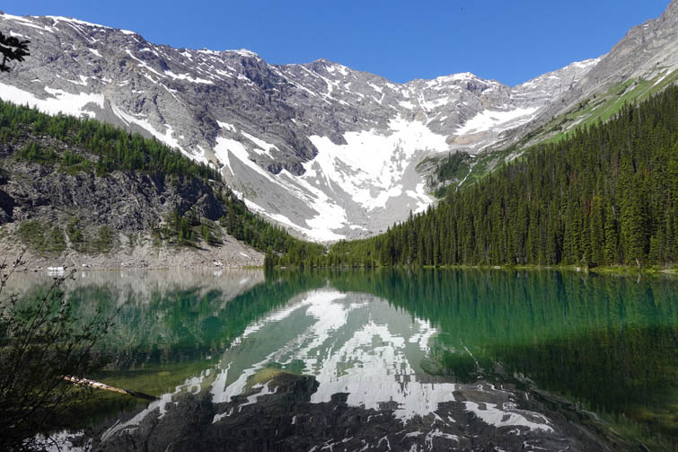
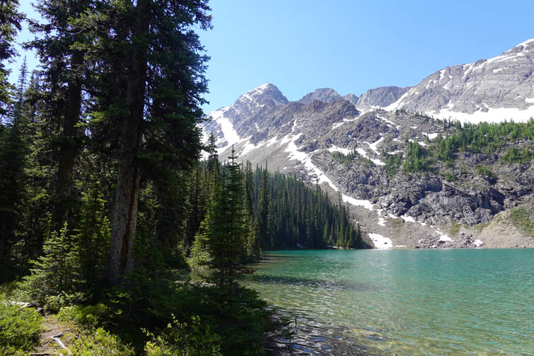
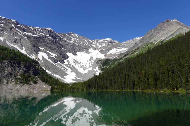
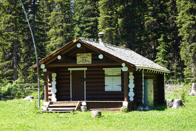
There is a short trail that links up the campground with the main trail heading up to Mystic Lake and I dropped my gear at the intersection of these trails right by Mystic Lake patrol cabin (unmanned at this time). The trail up to Mystic Lake was in great shape and less steep than I had expected. Shortly before reaching the lake I came by ML-22 Mystic Valley campground, another recently renovated site in a great location. The trail then continues for another kilometer to Mystic Lake, which is nestled in a wide alpine cirque at 2000 m in beautiful serene surroundings, its deep blue waters reflecting the snow-clad slopes of rugged limestone ridges above. There are no facilities here, not even a bench, so it’s a very natural place. Just tons of little flies that hovered around the edge of the water on another hot day.
I took a long relaxing break on a log in the shade, soaking in the peaceful atmosphere with not a soul around, before reluctantly heading back down. What a gorgeous place that we have the privilege of visiting so close to home!
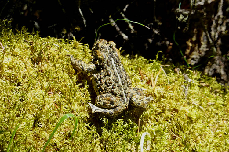
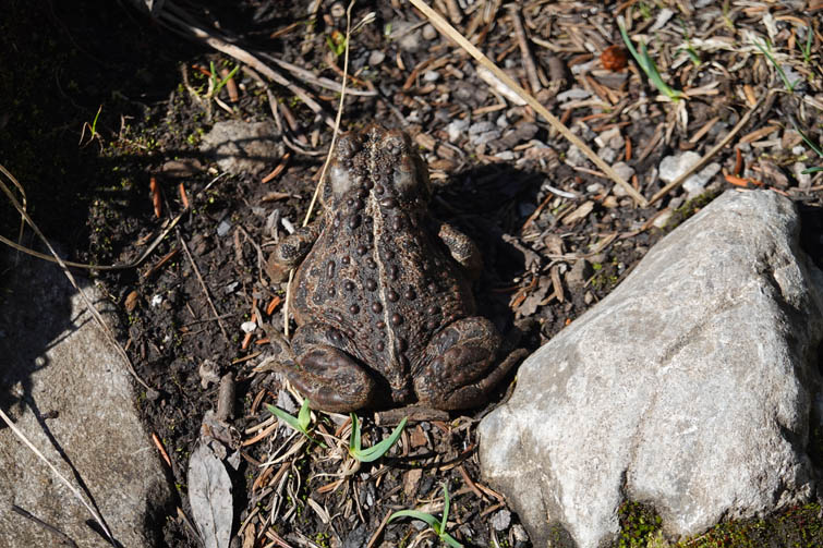
The hike back out to the patrol cabin and then along Forty Mile Creek was slightly faster now that most of it was downhill and my pack was lighter. Just like the day before there were hundreds of cobwebs that I kept walking into, plus quite a few frogs I encountered on the path – perhaps a strange side effect of the extreme heat. The last stretch back to the parking lot in the wooded NE slopes of Mount Norquay were draining in the hot afternoon, and just like on my previous trip to Mount Brewster I had somehow forgotten that this last part is almost all uphill! Overall a highly enjoyable combo trip that I recommend to anyone who enjoys long hikes and wants to get away from it all.
|
Elevation: |
2991 m |
|
Elevation gain: |
1630 m |
|
Time: |
10.0 h |
|
Distance: |
29.0 km |
|
Difficulty level: |
Easy to moderate (Kane), T4 (SAC) |
|
Comments: |
Stats refer to hike from parking lot to Sira Peak and back to campground FM-19. Add ca. 7 km distance and 250 m elevation gain for the side trip from the patrol cabin to Mystic Lake and back (2.5 h). Patrol cabin back to parking lot is another 16 km and 300 m elev gain (3.5 h). |
|
Reference: |
No info was available to me prior to trip |
|
Personal rating: |
4 (out of 5) |
DOWNLOAD ROUTE – Sira Peak (GPX FILE)
DOWNLOAD ROUTE – Mystic Lake (GPX FILE)
NOTE: This GPX track is for personal use only. Commercial use/re-use or publication of this track on printed or digital media including but not limited to platforms, apps and websites such as AllTrails, Gaia, and OSM, requires written permission.
DISCLAIMER: Use at your own risk for general guidance only! Do not follow this GPX track blindly but use your own judgement in assessing terrain and choosing the safest route. Please read the full disclaimer here.