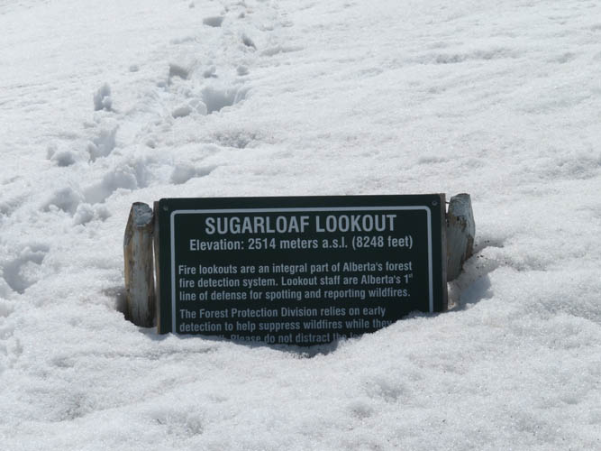
Livingstone Range, Canada
14 May 2019
With Wen
Hard-to-reach mountain offering pleasant hiking
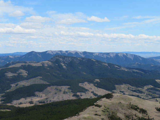
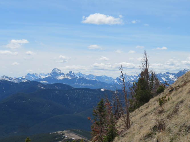
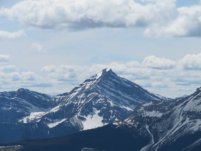
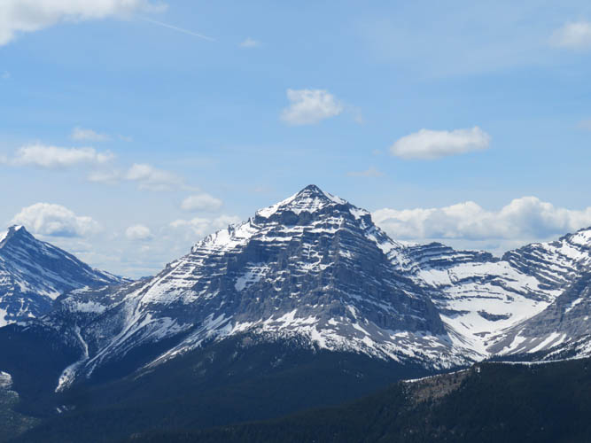
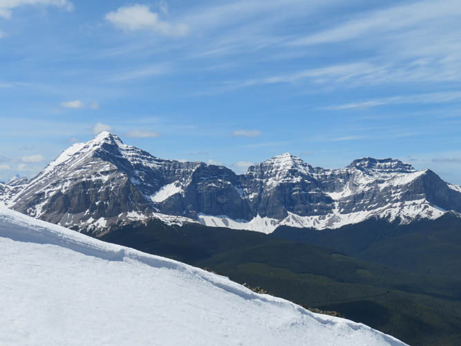
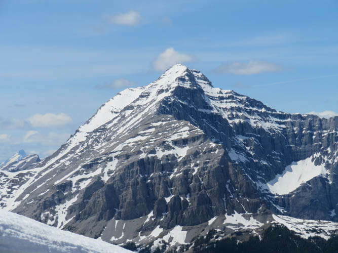
With most bigger peaks still covered in snow, I was looking for a smaller objective without any avalanche danger, but something a little more exciting than the usual front range hills west of Calgary. Sugarloaf Lookout was a good fit: the landscape in the Dutch Creek area of the Livingstone Range is gorgeous and though it’s not a major peak, it does offer fantastic views of loftier mountains to the west like Tornado or Gould Dome. On the downside, getting here involves a bit of a drive – at least 3 hours from Calgary!
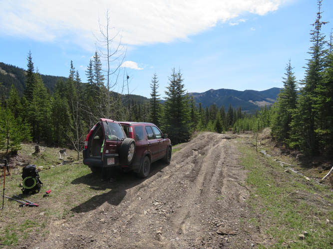
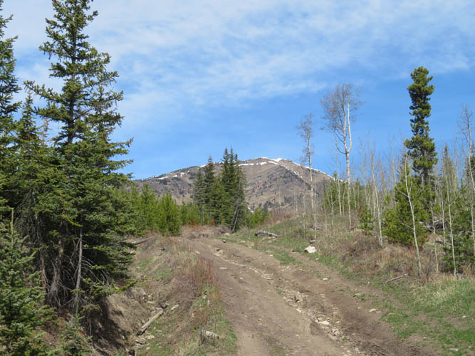
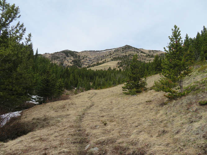
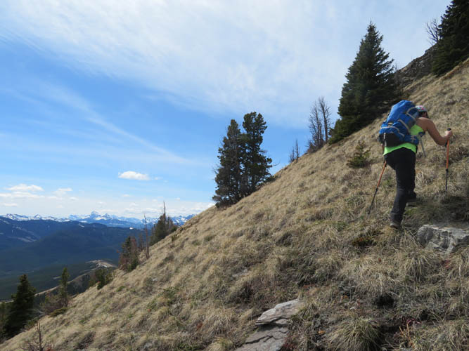
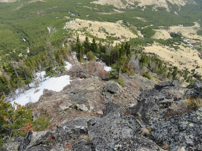
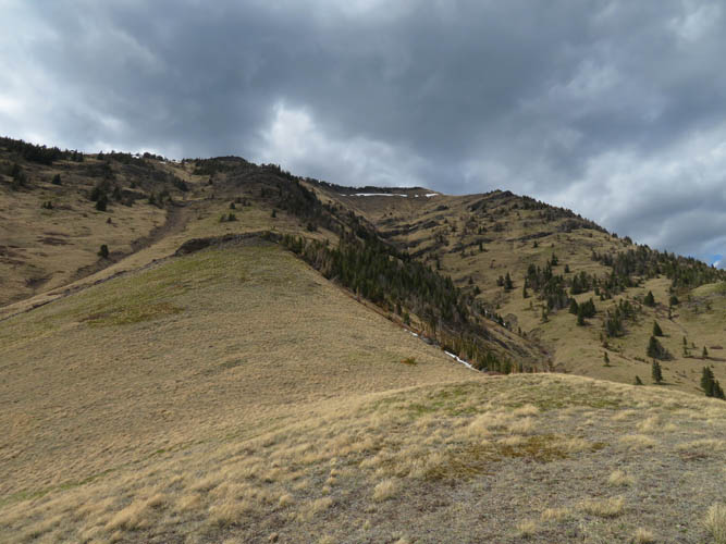
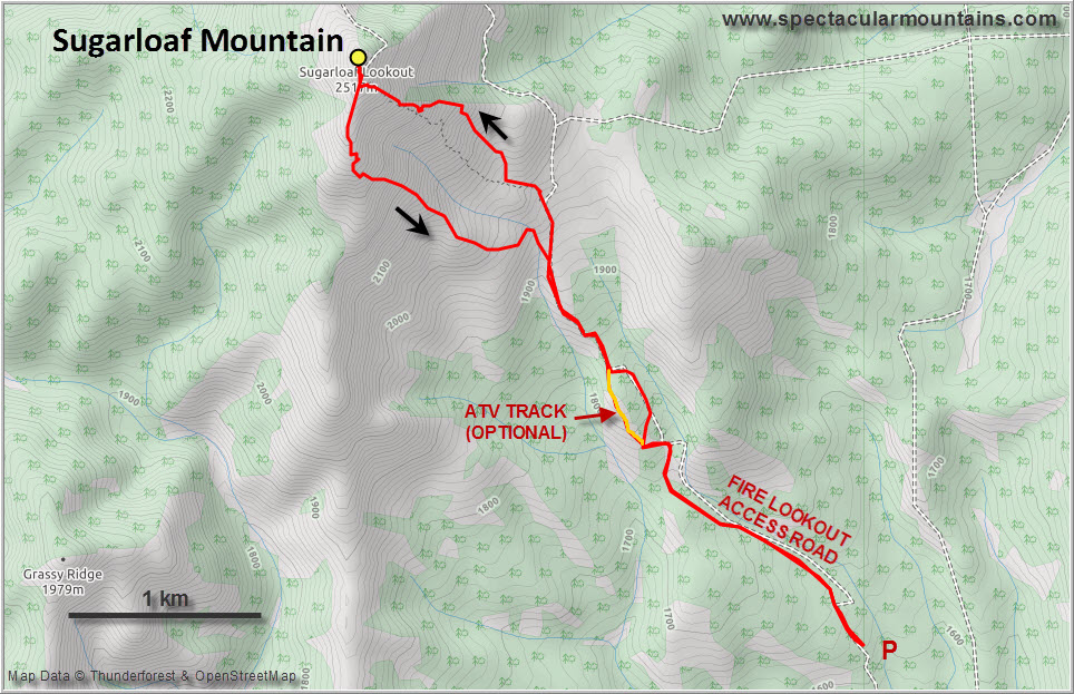
The fire lookout access road that branches off to the north from the Dutch Creek Road was in pretty bad shape. We managed to drive only about 800 m along this dirt road before the washouts became too deep for our above-average clearance Honda CR-V. The classic loop route described by others (e.g. Bob Spirko, Sonny Bou) wasn’t an option for us today. Although the SE slopes of Sugarloaf were mainly dry, we soon found out that any north or northeast-facing aspects were still harbouring pockets of deep, soft snow. From our car we followed the dirt road uphill until we found an obvious trail on our left that led into the forest but soon disappeared under thick patches of snow. Not wanting to struggle through soft isothermal snow, we left the trail and veered right onto open grassy slopes instead. This route landed us on a small ridge – basically the rib that extends east almost directly below the summit.
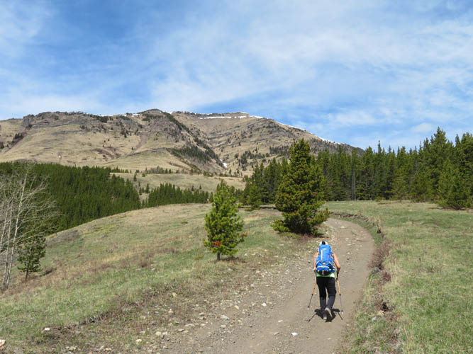
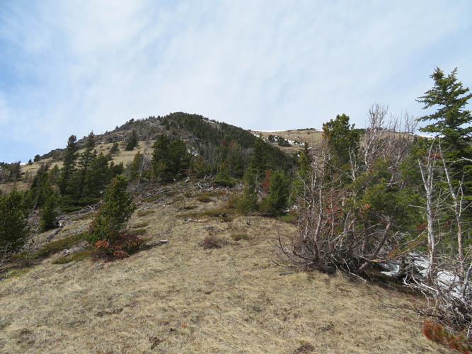
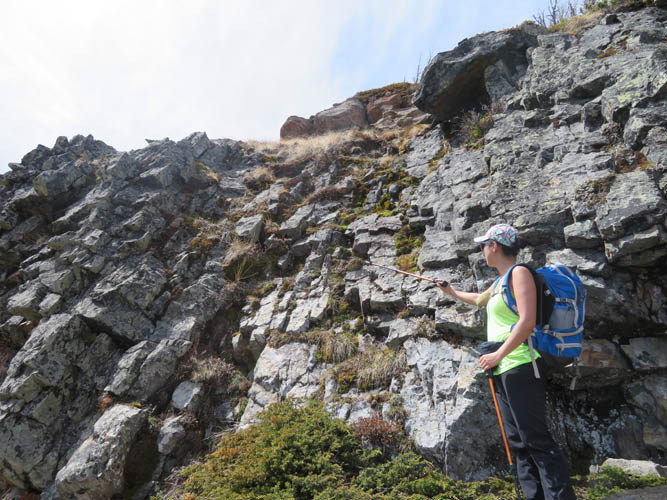
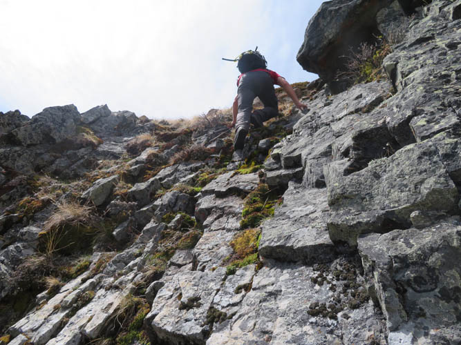
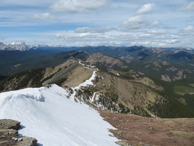
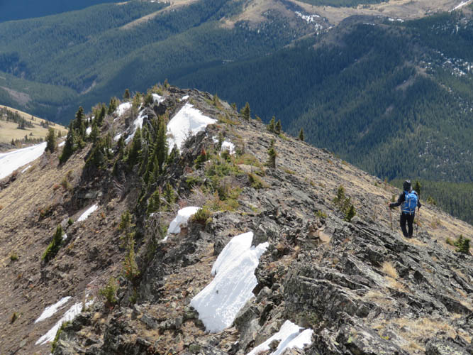
The rib was mostly snow-free and a pleasure to ascend, mostly easy hiking on grass and rocky bits. Two cliffbands stand in the way higher up. They can be tacked head-on (a few moves of moderate to difficult scrambling), or for a much easier option, bypassed on steep grass on climber’s left.
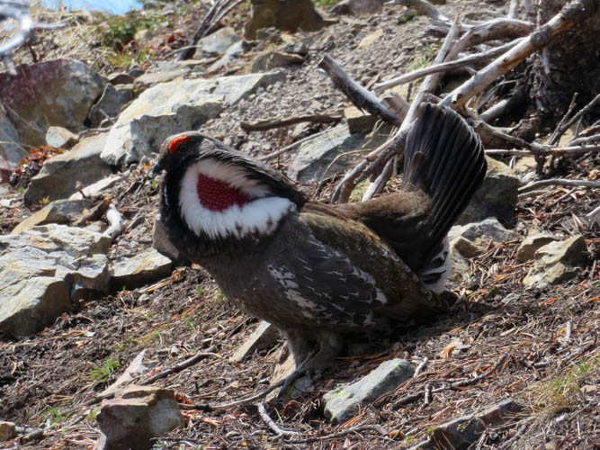
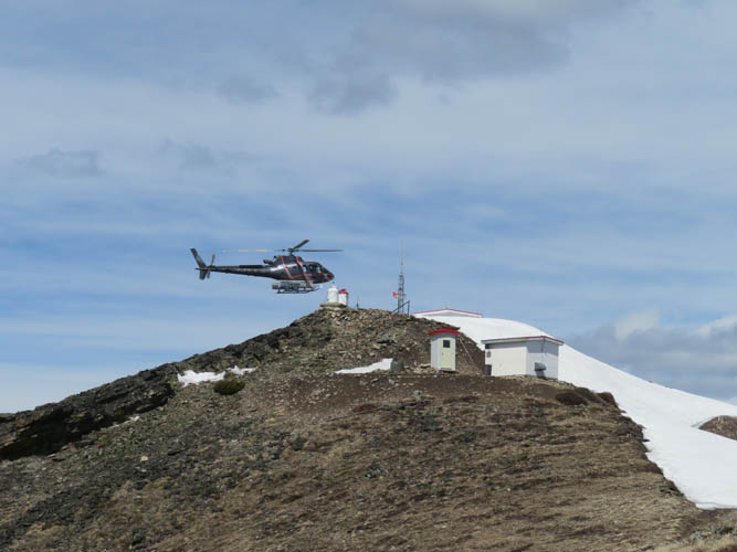
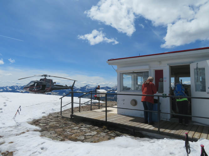
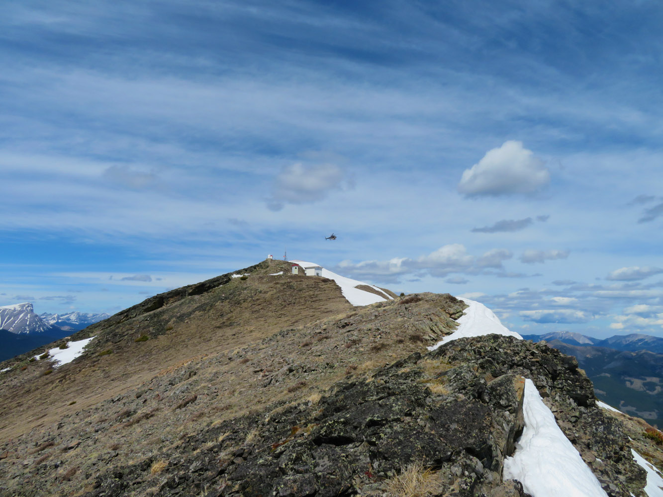
We reached the ridge top only a hundred metres south of the Sugarloaf Fire Lookout building which marks the summit of this small peak. Suddenly a loud roaring noise echoed off the valley below us… no, not an avalanche, but a helicopter that seemingly appeared out of nowhere and landed next to the lookout right in front of us. In it were a park ranger and the new lookout observer who got dropped off with his supplies to start the new season, watching for wild fires in the surrounding forests below.
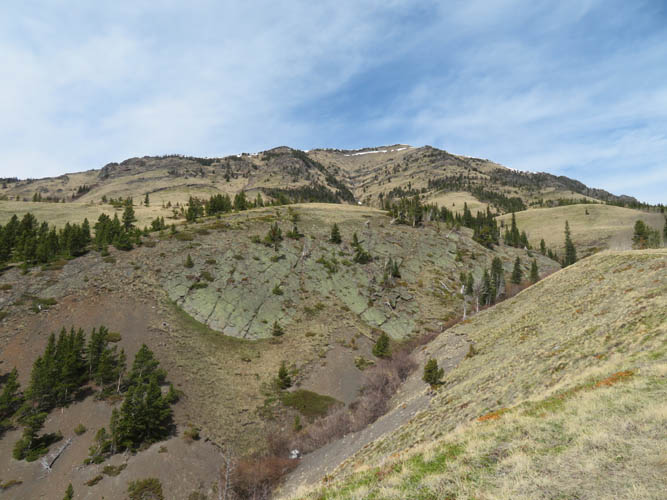
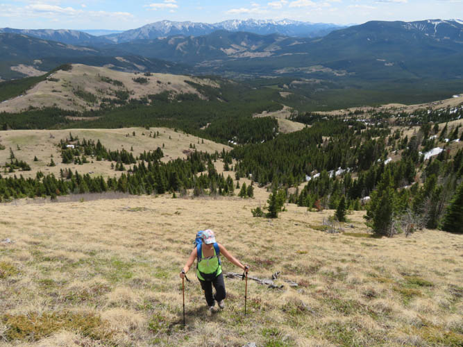
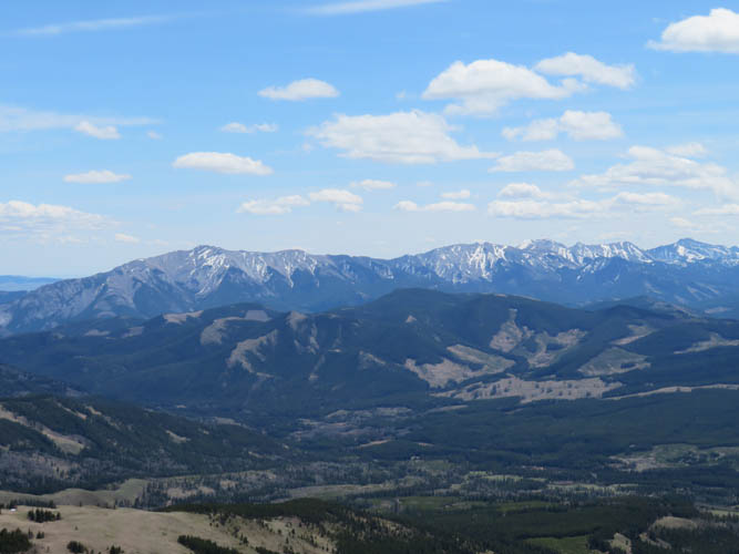
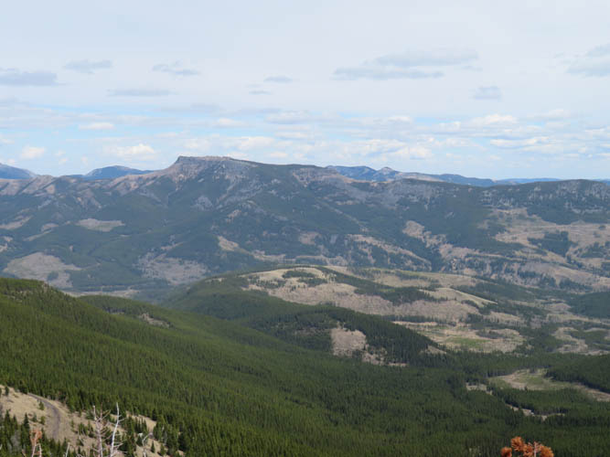
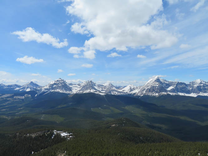
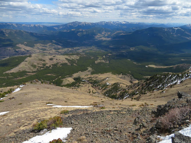
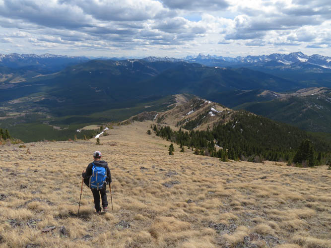
After a nice chat with our unexpected companions we enjoyed a scenic lunch break admiring neighboring Tornado Mountain and Gould Dome to the west. My initial plan for the descent was to hike back on the dirt road, but there was way too much snow left on the northeastern side of the mountain where the road makes a few loops as we could see from above. Instead, we decided to go south along the summit ridge, then east back down a grassy rib that runs parallel (and south of) our ascent rib. A great option as it turned out, perhaps even better than our ascent route. Initially steep, the grassy rib quickly mellows out and then ends at a small creek that can be hopped easily in a small forest clearing to skier’s left. Past the creek there is a game trail that in a matter of a few hundred metres leads directly back to the dirt road.
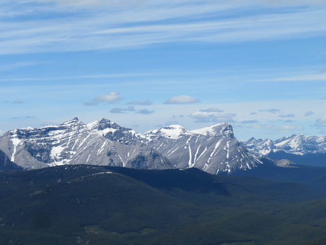
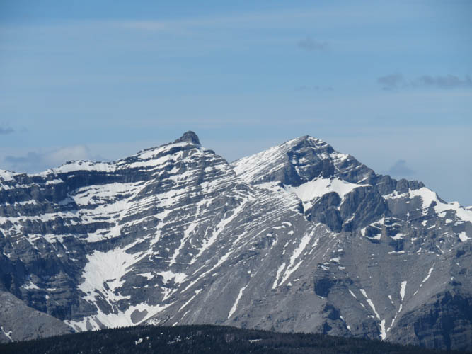
Sugarloaf Lookout was a great little hike with fantastic views of a seldom-visited area. It’s a long way in, though, so I’d probably make this part of a 2 or 3-day weekend and combine it with other objectives in the area, e.g. Ma Butte, Thrift Peak, Thunder Mountain, Grassy Ridge, or even Tornado Mountain.
|
Elevation: |
2517 m (official), 2501 m (my GPS) |
|
Elevation gain: |
930 m |
|
Time: |
5 h |
|
Distance: |
10.9 km |
|
Difficulty level: |
Easy (Kane), T2 (SAC) |
|
Reference: |
Bob Spirko |
|
Personal rating: |
3 (out of 5) |
NOTE: This GPX track is for personal use only. Commercial use/re-use or publication of this track on printed or digital media including but not limited to platforms, apps and websites such as AllTrails, Gaia, and OSM, requires written permission.
DISCLAIMER: Use at your own risk for general guidance only! Do not follow this GPX track blindly but use your own judgement in assessing terrain and choosing the safest route. Please read the full disclaimer here.