Ghost, AB, Canada
26 April 2020
With Richard & Marcelina
Great snowshoeing in a remote corner of the Rockies
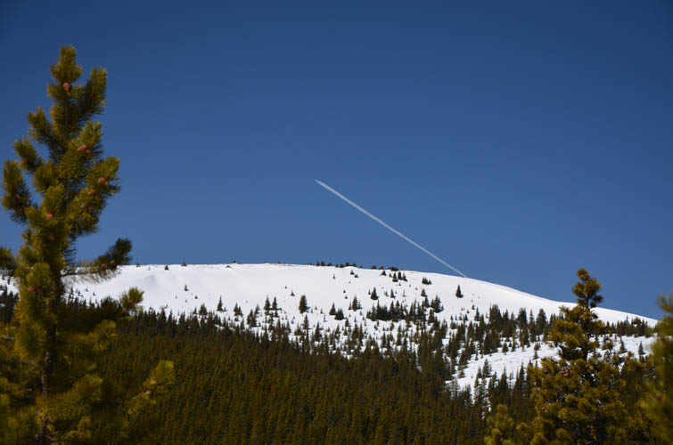
This isn’t exactly a popular destination for hikers and snowshoers, mostly because of its remoteness and long drive from Calgary (about 2.5 hours). It’s really just a small hill with the remains of a concrete foundation of a former lookout building on top. In summer this hike probably takes about three to four hours round-trip, which makes it more difficult to justify a five hour total driving time. In the winter, however, when bigger objectives aren’t in condition yet or the risk of avalanches is too high elsewhere, Burnt Timber Lookout makes for a fine objective.
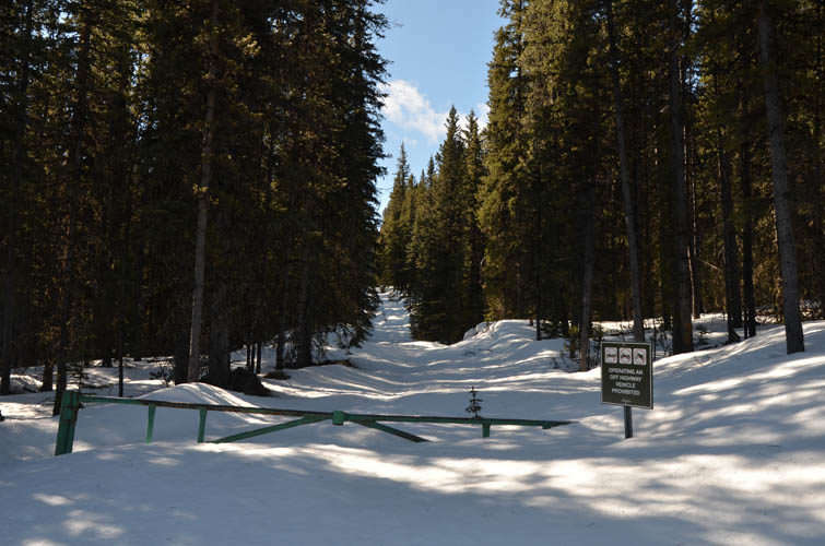
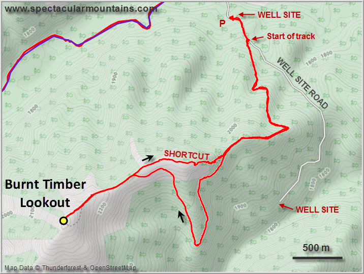
After parking near the side of a large well site (active sour gas well!) we walked a few hundred metres up the road to a gated track along a cutline where we donned our snowshoes.
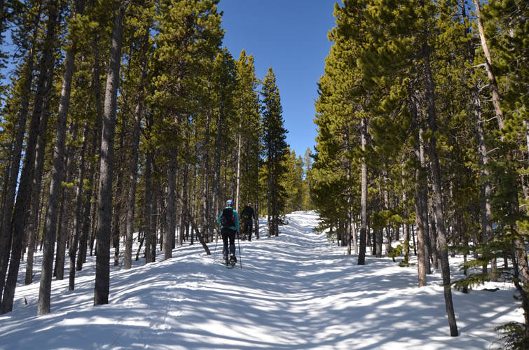
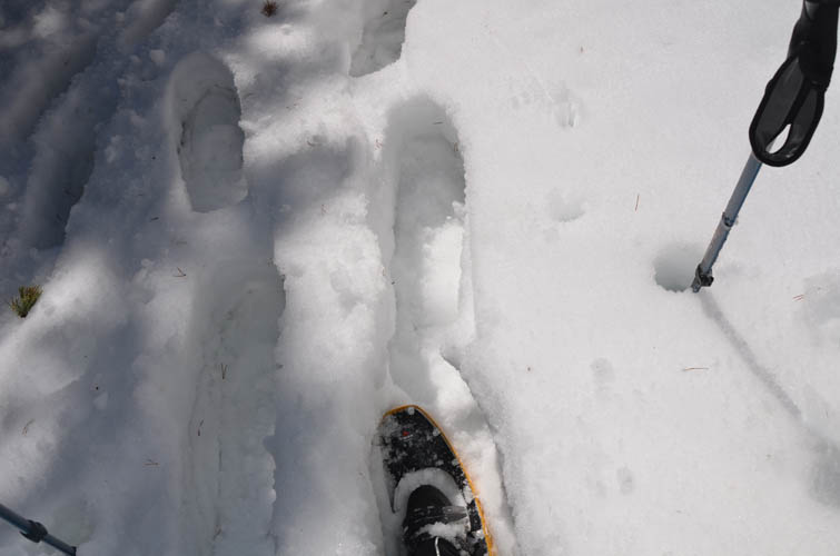
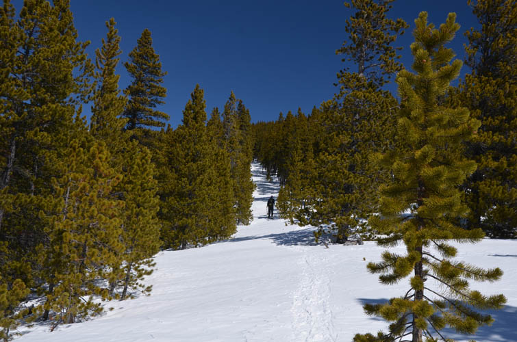
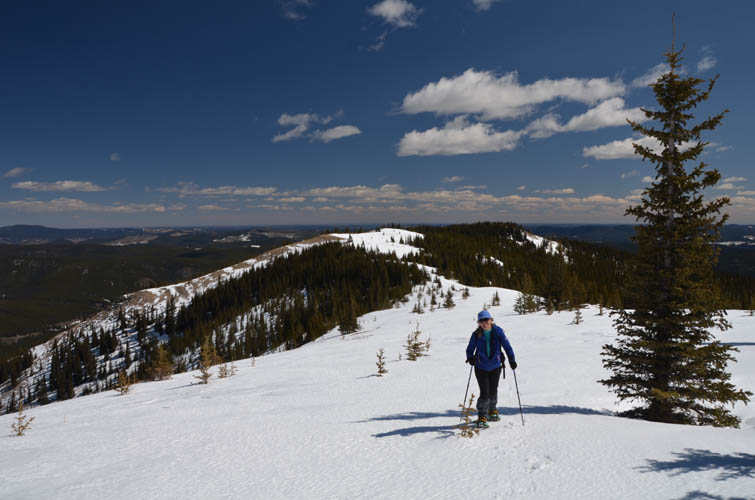
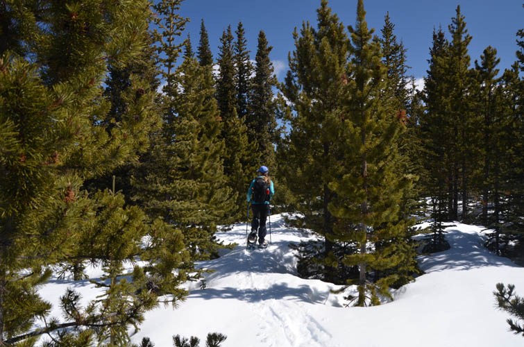
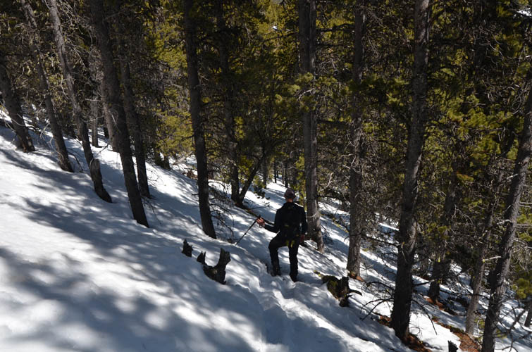
Yes, snowshoes were definitely needed today! We had more snow than we’d asked for– up to a metre thick on the sheltered north side. An obvious weak layer in the snow pack caused frequent “whumpfing” – that scary sound when the snow pack collapses, often indicative of imminent avalanche danger. Thankfully the slopes were never steep enough for the snow to slide and most of the way up we were in the trees. While Richard and I kept breaking through the upper crust, giving us a bit of an extra workout (thanks to Richard for breaking the trail!), Marcelina’s lighter weight kept her “afloat” much of the time… until she eventually also ended up sinking in knee-deep when the snow got softer on the south side.
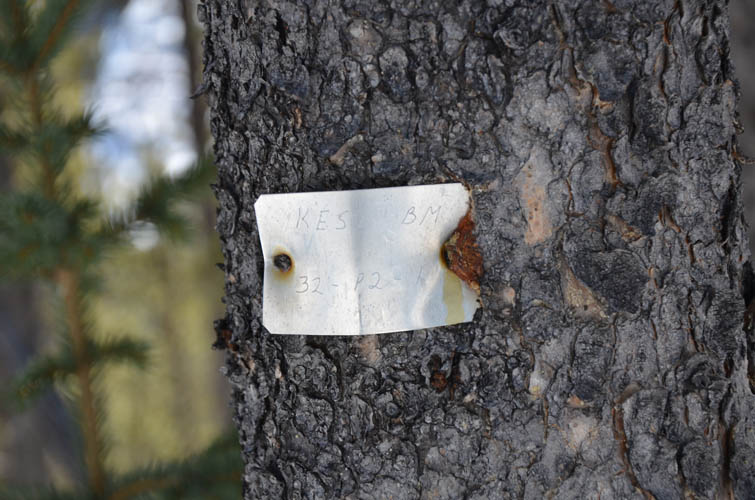
We followed the obvious track, which doesn’t head straight up the ridge but makes a seemingly pointless detour around a southerly spur, even losing some elevation in process, only to loop back north. As we stumbled our way down this track through ever-softening snow we really wondered why anyone would build a track like that. Nobody would, of course, unless you’re an oil and gas company shooting a seismic line which this turned out to be – a small metal tag on a tree was the giveaway.
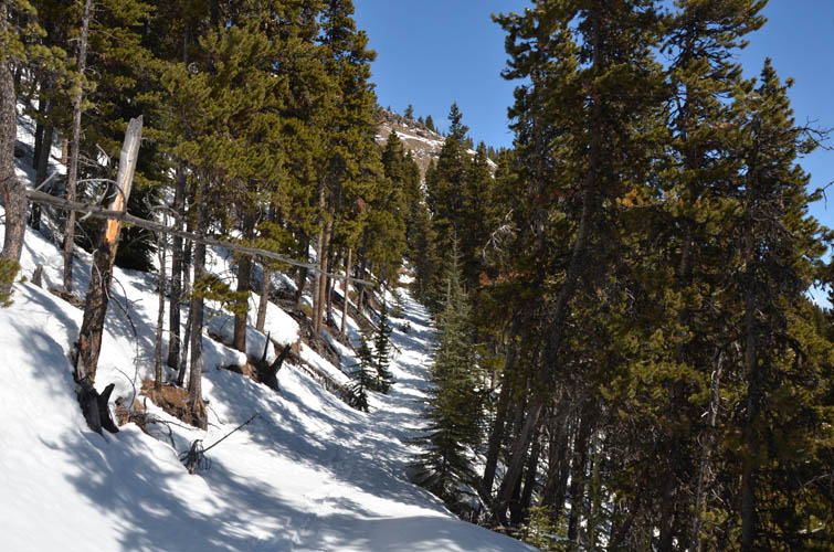
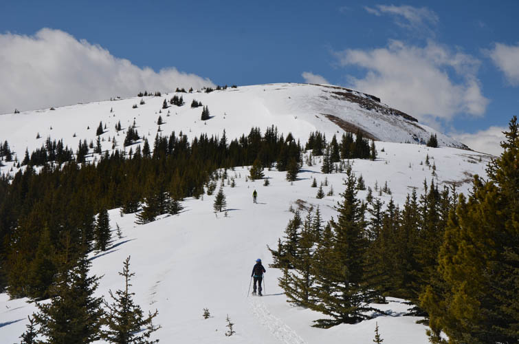
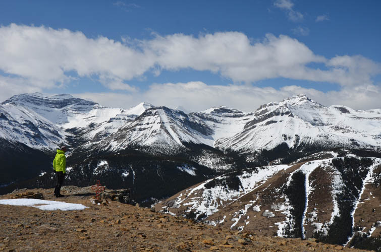
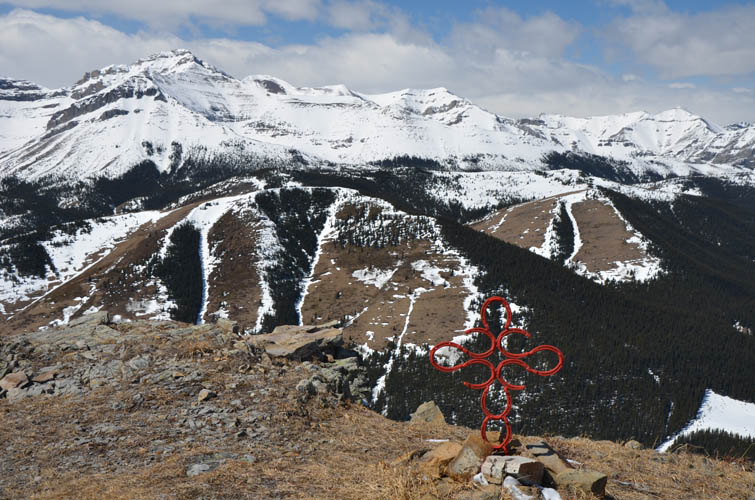
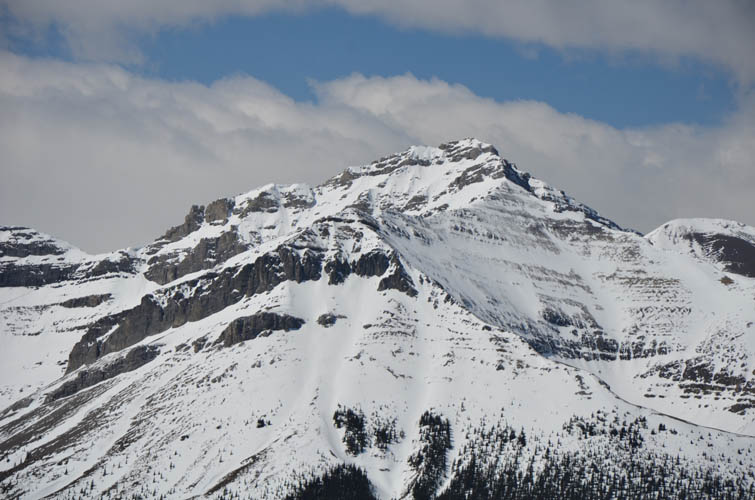
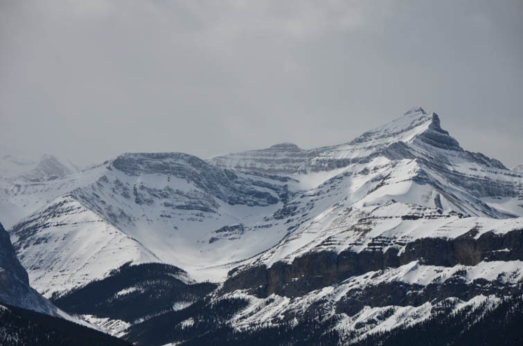
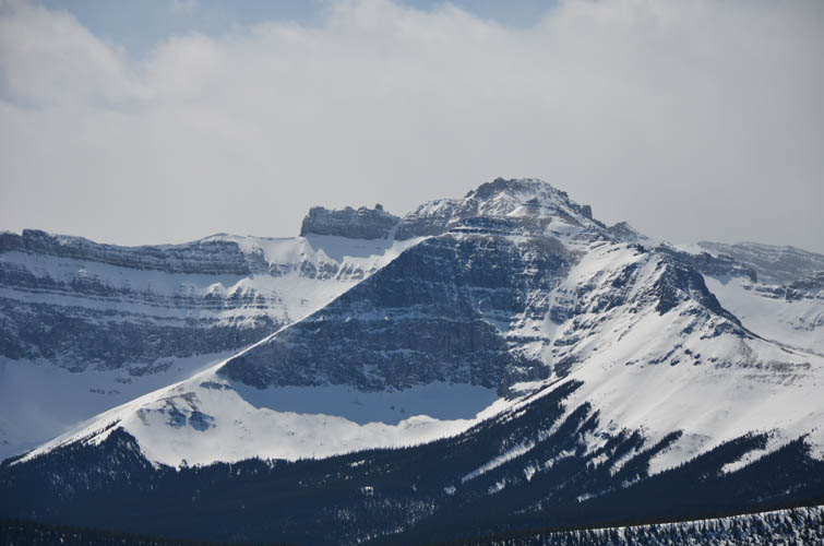
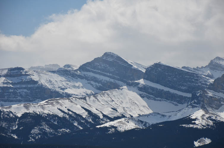
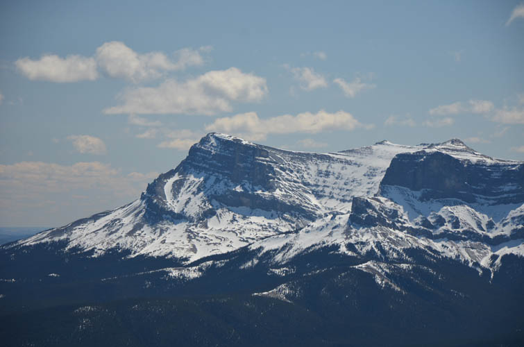
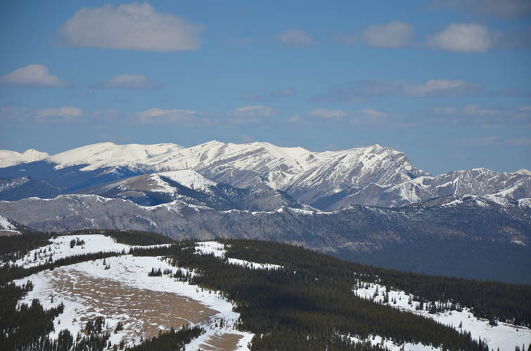
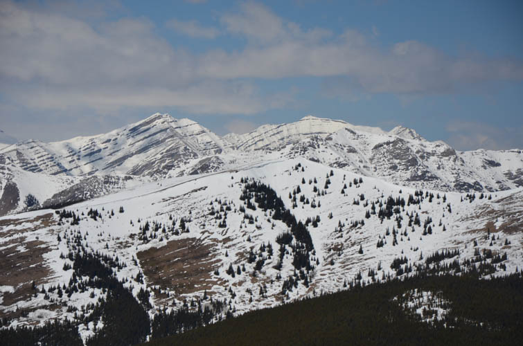
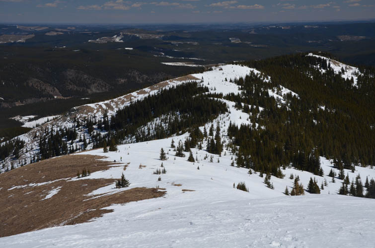
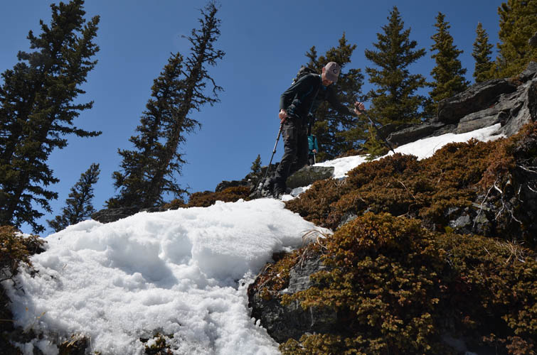
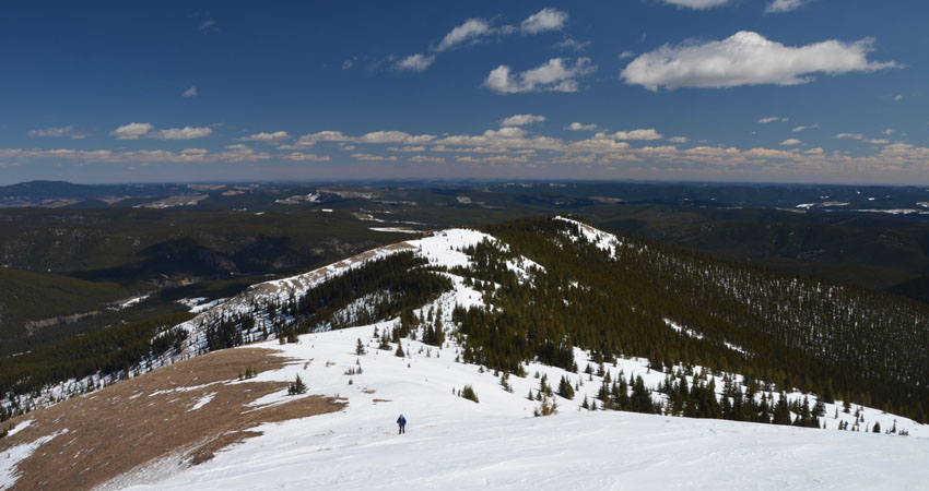
Thankfully the snow was a lot firmer once we turned the corner and slogged up on the west side of the spur. The track ends on the ridge top and then it was an easy tramp up the open northeast slopes to the top. On a clear sunny day the views up here are nothing short of breathtaking and far superior to what we saw on Mockingbird Lookout a few weeks earlier because you’re so close to the Front Ranges here. Lots of big impressive mountains to the west and south, with Zombie Peak and Mount Oliver stealing the show.
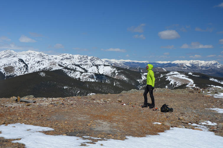
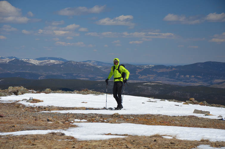
There’s nowhere to hide from the strong winds that were pounding us on the broad summit mass, so after soaking up the views and taking lots of pictures we headed back. Instead of slogging through deep snow on the circuitous seismic line again, we thought the shortcut along the ridge crest might prove a better option. It sort of was – it certainly was faster – but still there was tons of deep soft snow to plough through on the steeper parts just before we joined our ascent track again.
We got back to the car feeling like we got our money’s worth today considering the long drive to this remote area. We also agreed that Burnt Timber Lookout makes for a great snowshoeing objective in the winter. If you just want to get to the top and back the shortcut is probably the way to go, but if you want to add some variety and more of a workout then the loop is a good choice.
|
Elevation: |
2313 m (my GPS) |
|
Elevation gain: |
700 m |
|
Time: |
5.0 h |
|
Distance: |
10.1 km |
|
Difficulty level: |
Easy (Kane), T2 (SAC) |
|
Reference: |
None |
|
Personal rating: |
3 (out of 5) |
NOTE: This GPX track is for personal use only. Commercial use/re-use or publication of this track on printed or digital media including but not limited to platforms, apps and websites such as AllTrails, Gaia, and OSM, requires written permission.
DISCLAIMER: Use at your own risk for general guidance only! Do not follow this GPX track blindly but use your own judgement in assessing terrain and choosing the safest route. Please read the full disclaimer here.