Castle Provincial Park, AB, Canada
31 January 2021
Solo
Great long winter ridge walk
My inspiration for this trip came from Steven Noel who had done almost the same loop with his buddy just a couple of weeks earlier. After spending 14 days in mandatory travel quarantine in my apartment, I was super keen to do a longer trip again and just exhaust myself out in my beloved Rockies.
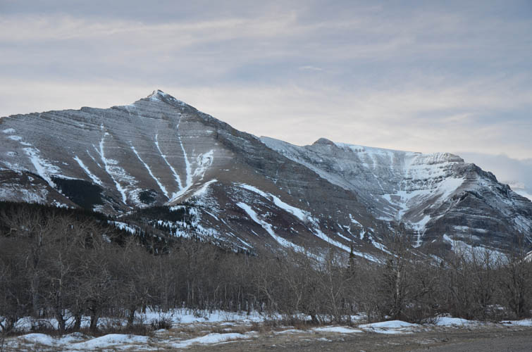
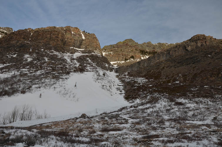
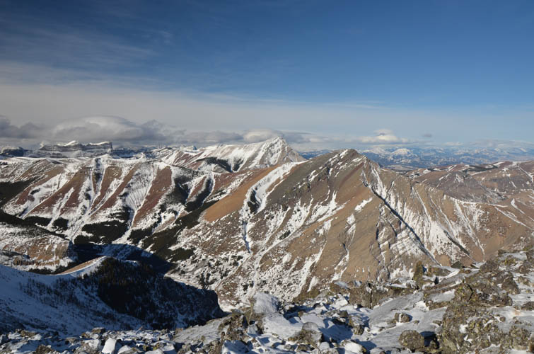
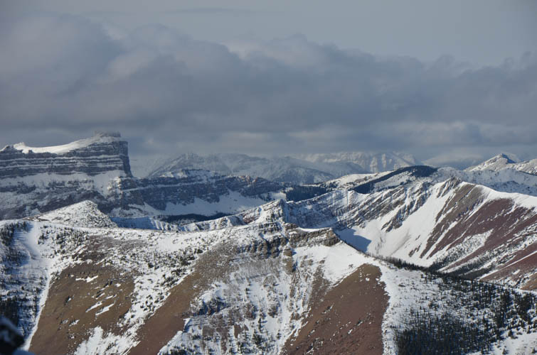
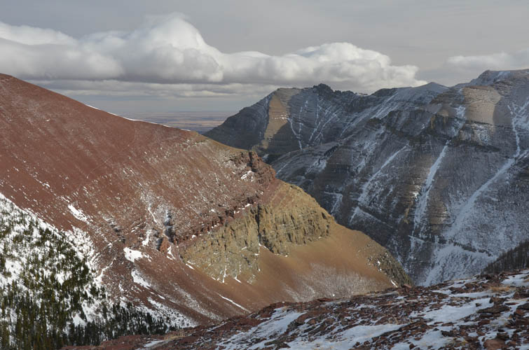
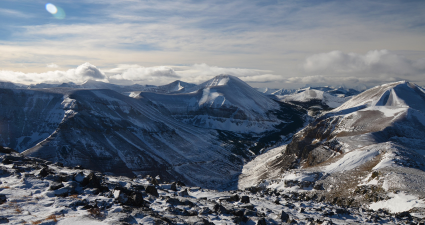
And exhausting it certainly was! Waterton and the Castle are known for their long, undulating and gentle ridges that connect well to make for great long-distance ridge walks. In the winter it’s a different story of course, with not only fierce cold winds but also patches of deep snow to add to the challenge.
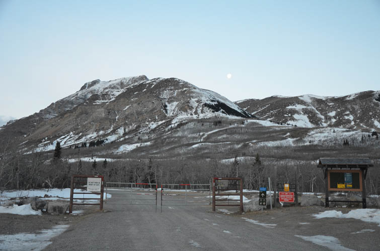
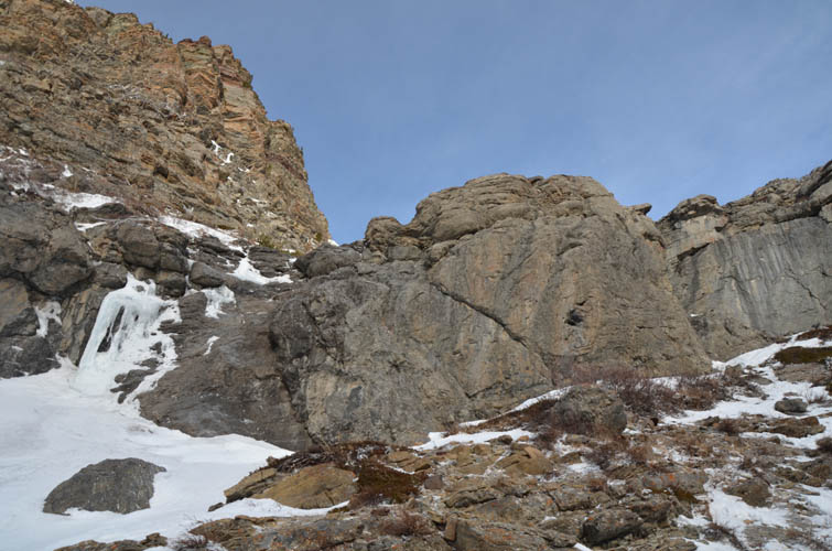
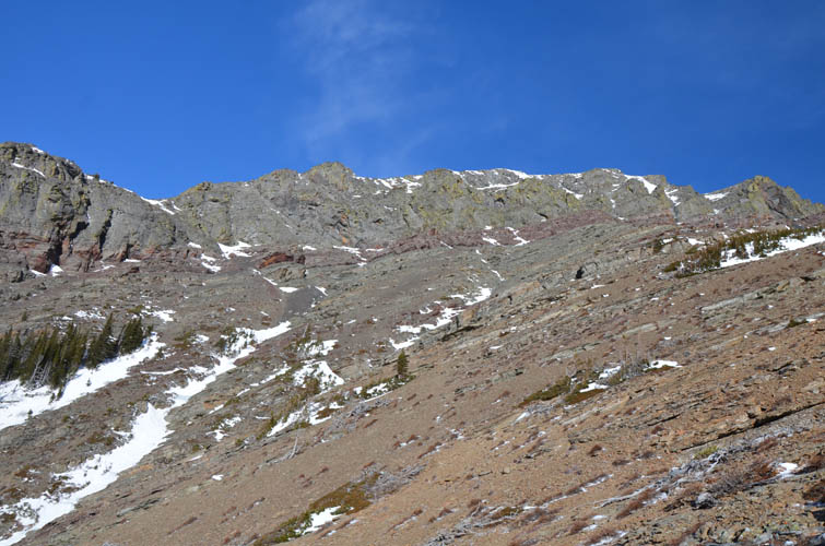
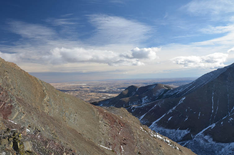
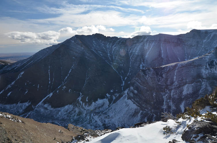
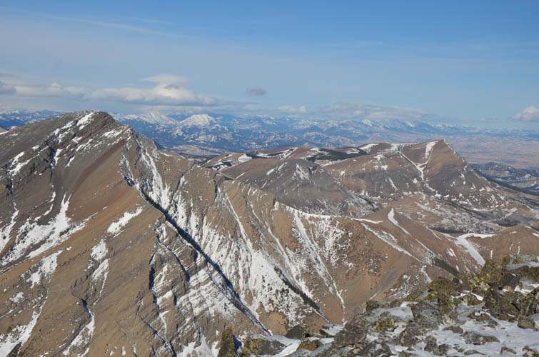
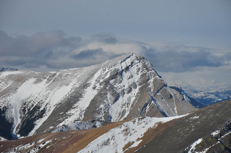
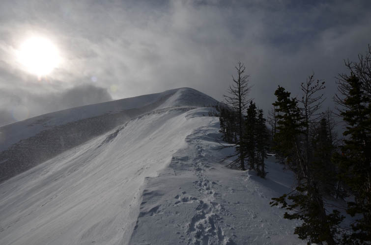
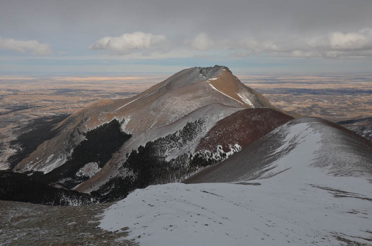
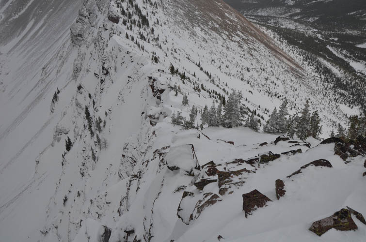
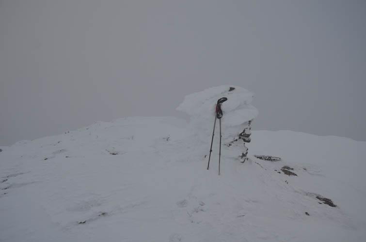
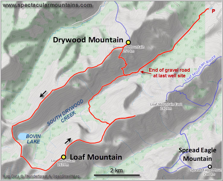
I parked by the trailhead for Bovin Lake and walked the first few km to the end of the Shell wellsite road. The road is so good here that next time I’d definitely bring a bike to shave an hour or more off an already long day. Past the last wellsite I found semi-supportive ankle to knee-deep snow on Bovin Lake Trail, the only traces of humans having been here in a while being the occasional boot print from Steven and his friend. I was a bit confused as to where exactly the correct ascent gully is on Drywood’s south side as described by Nugara in his guidebook. I think I picked the right one, but the first grey cliff band was covered in ice and rock hard snow, so I was forced to traverse far to the right (east) until I found breaks in the cliff to scramble up (moderate). After aiming to the left again higher up I was back in the upper extension of the gully, which now offered an easy hike to the summit ridge. While the south slopes were mostly dry and windless, I was now fully exposed to the infamous gale-force winds up on the open ridge. I stumbled the short distance east across slippery blocks of sandstone to tag the summit of Drywood Mountain, took a few shots, and quickly turned around to tackle the long horseshoe ridge ahead of me.
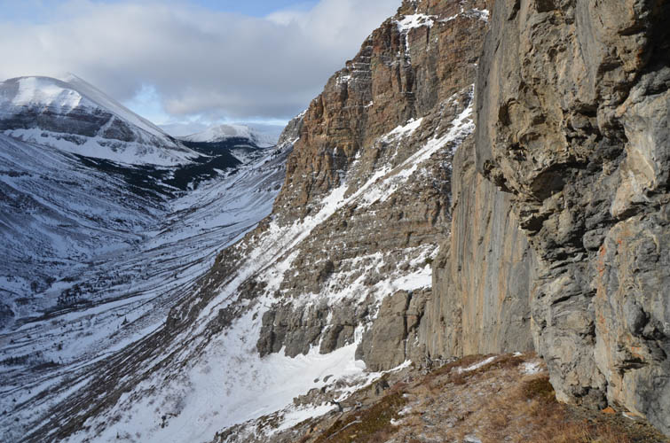
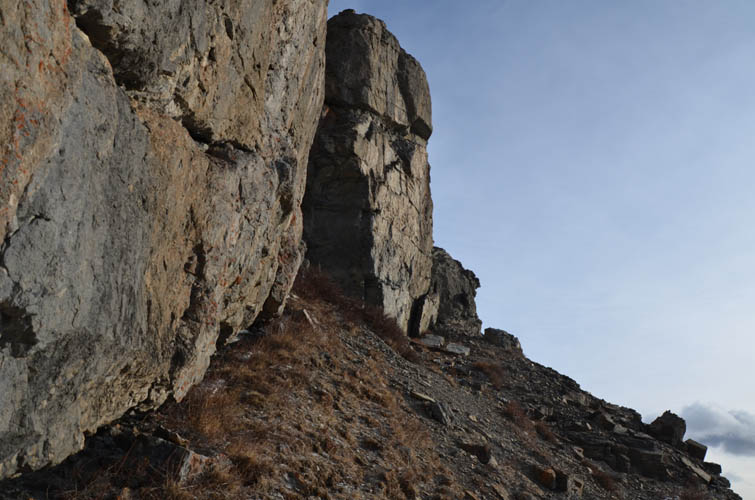
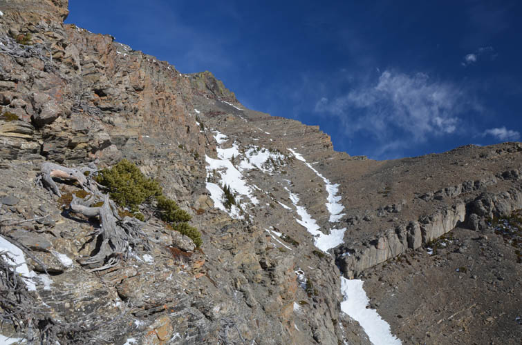
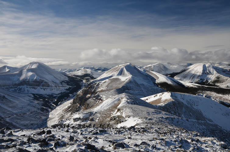
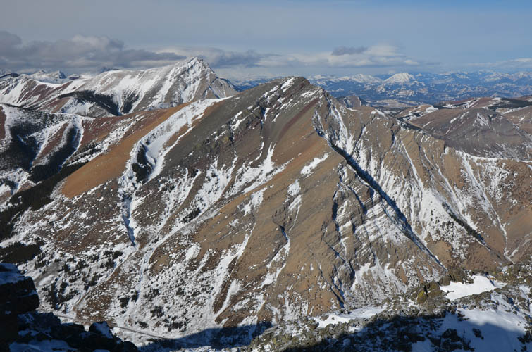
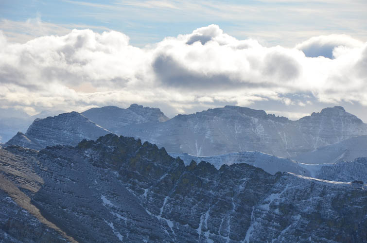
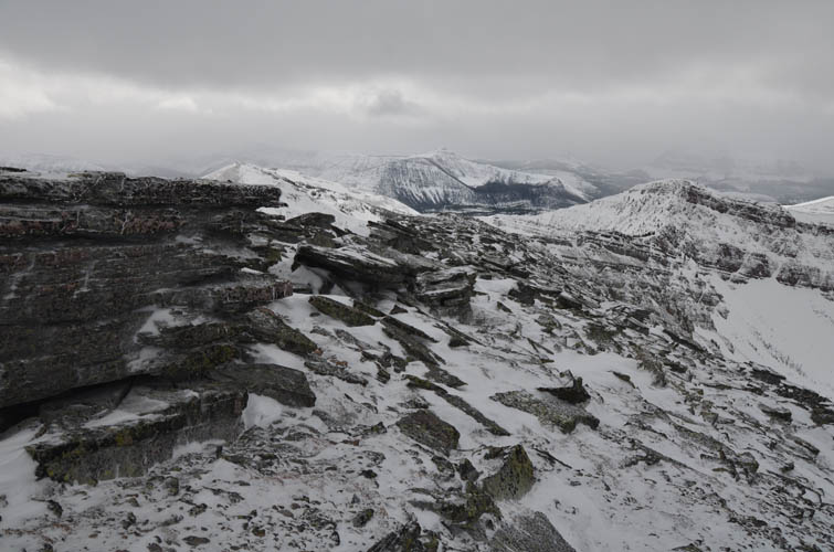
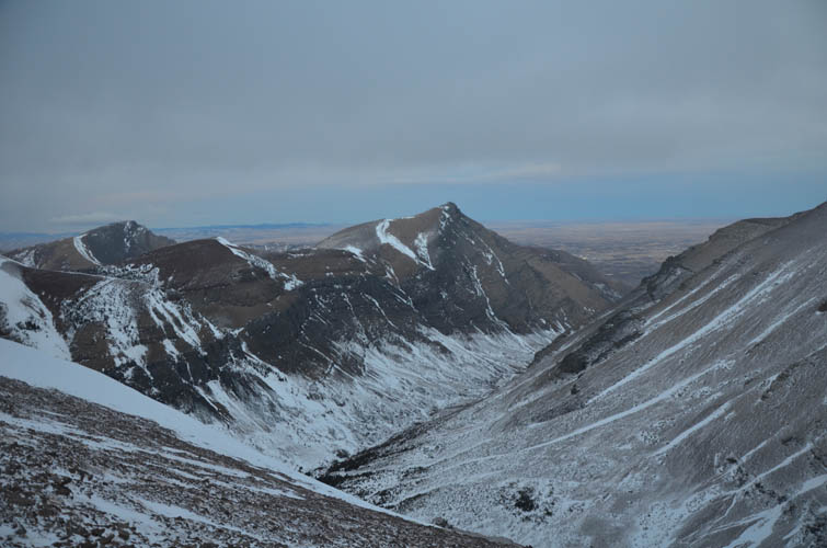
Almost the entire ridge is basically an easy hike over a series of ups and downs, with only two short wooded stretches where deep snow had accumulated. Steven’s tracks were long gone here, obliterated by the incessant winds blowing over the landscape. There is one short steeper section of ridge, just before the first major turn south, where a few scrambling moves are required, but all pretty easy despite a thick layer of snow here.
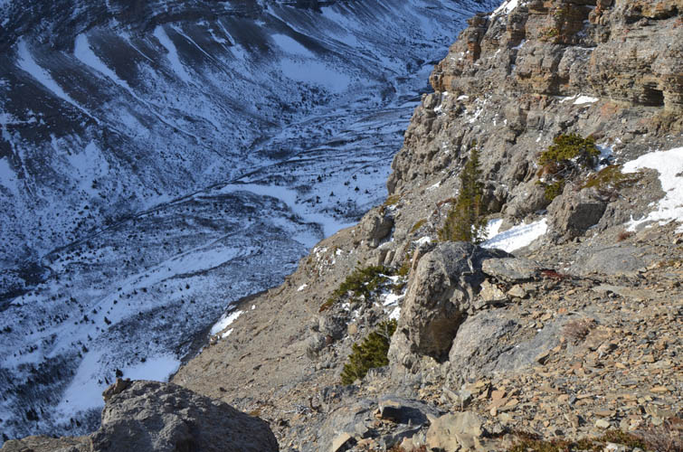
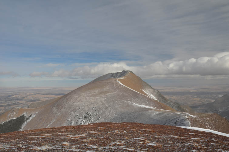
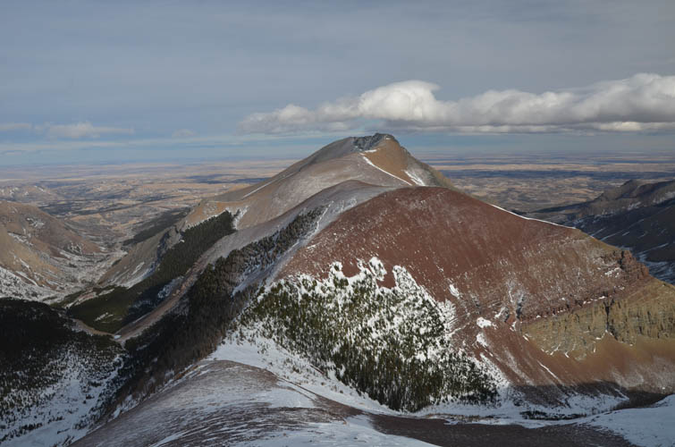
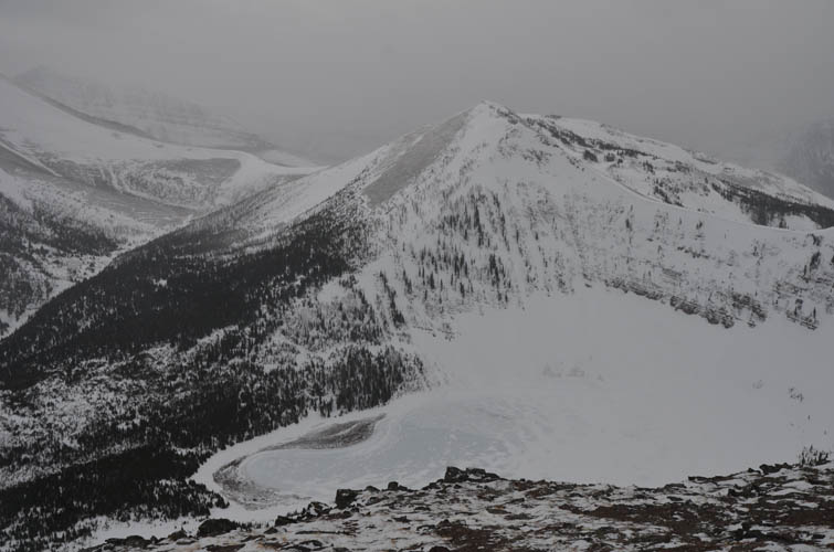
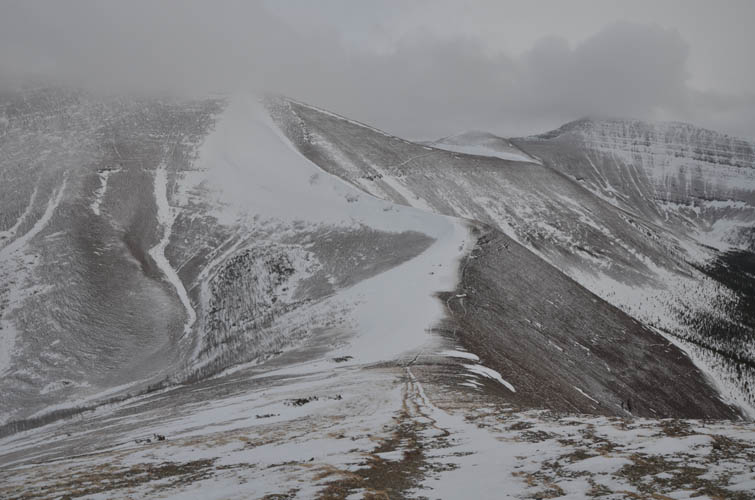
The skies clouded up and the winds seemed to get worse the further in I went, and by the time I had surrounded Bovin Lake below and trudged up the long scree slope to Loaf Mountain, visibility was pretty much gone. It was now all a mental game – I could barely see more than 20 m ahead of me and had to really push myself to keep slogging up the wide, never-ending slope that eventually ends at Loaf’s summit.
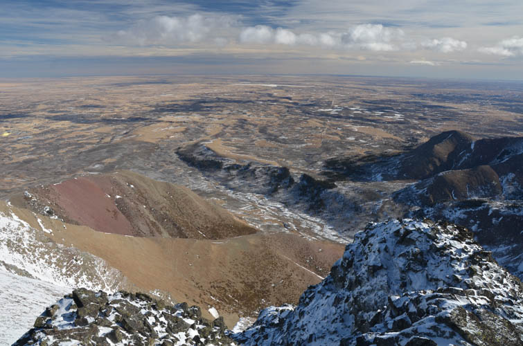
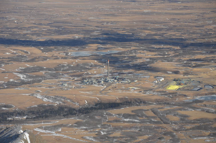
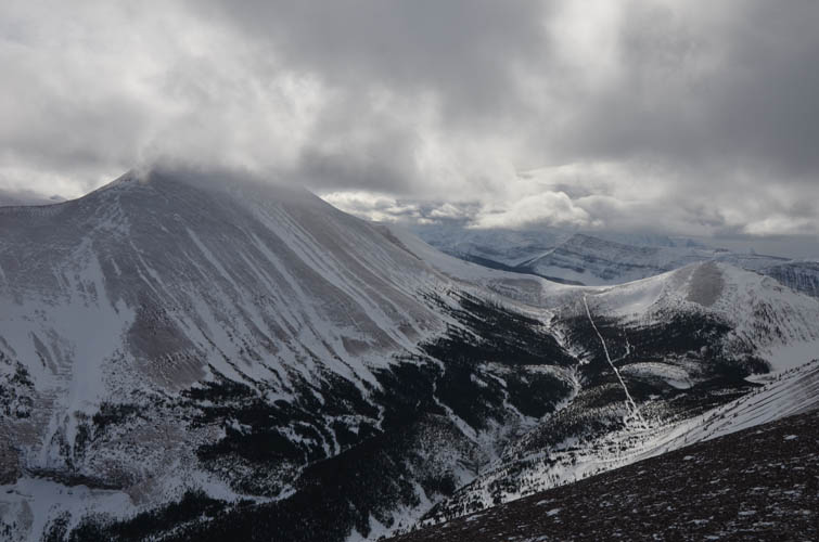
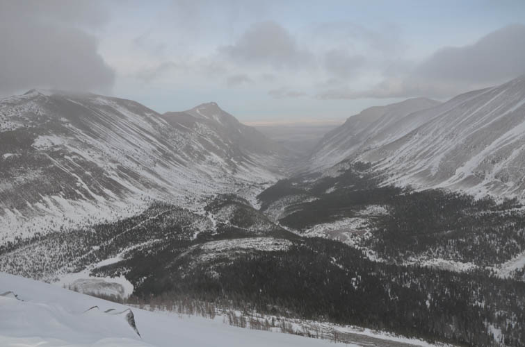
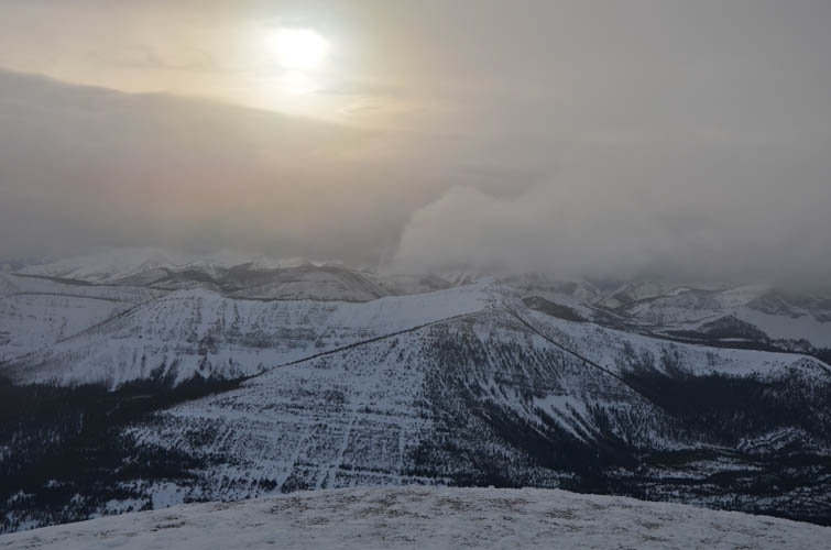
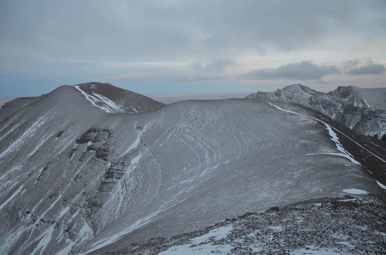
The weather cleared up a bit as I came down the east side of the broad summit mass. I came to the point where the normal descent route starts – scree on the north slopes between Loaf true and middle summits. Daylight was fading fast as it got close to 6 PM, but I still couldn’t resist the urge to tag on the next highest summit further east, where the ridge abruptly turns into a serious sawtooth knife edge beyond the realm of scrambling. I made it to the little cairn just at it got completely dark and sat down for a much needed break while admiring the flickering lights of the Shell gas plant down in the plains.
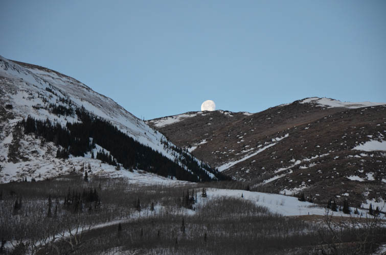
It felt part eerie part magical to be walking high up on this ridge in the dark with a starlit sky above me. Thankfully the terrain is pretty forgiving and routefinding easy, even with a headlamp on. After backtracking to the last saddle, I descended via the normal route on scree, grass and snow, with some rather energy-sapping postholing through deep snow in the forest as I reached the valley. I took a good break sitting in this lonely valley in the moonlight before tramping back down Bovin Trail to the trailhead. A long, exhausting and beautiful day in mother nature.
|
Elevation: |
Drywood Mountain: 2730 m |
|
|
Loaf Mountain: 2641 m |
|
Elevation gain: |
2730 m |
|
Time: |
12.5 h |
|
Distance: |
31.5 km |
|
Difficulty level: |
Moderate (Kane), T2 (SAC) for Drywood, easy for Loaf |
|
Reference: |
Local maps; Nugara |
|
Personal rating: |
4 (out of 5) |
NOTE: This GPX track is for personal use only. Commercial use/re-use or publication of this track on printed or digital media including but not limited to platforms, apps and websites such as AllTrails, Gaia, and OSM, requires written permission.
DISCLAIMER: Use at your own risk for general guidance only! Do not follow this GPX track blindly but use your own judgement in assessing terrain and choosing the safest route. Please read the full disclaimer here.