Calgary Foothills, AB, Canada
27 March 2022
Solo
Easy forest hike
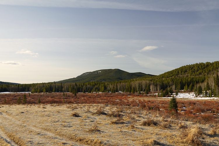
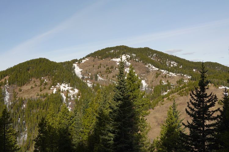
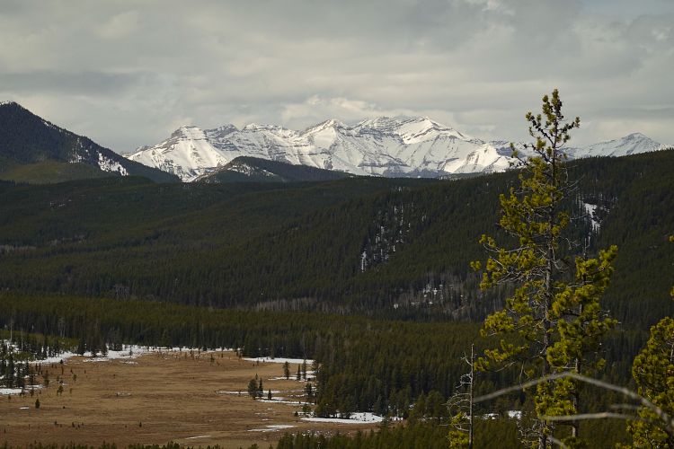
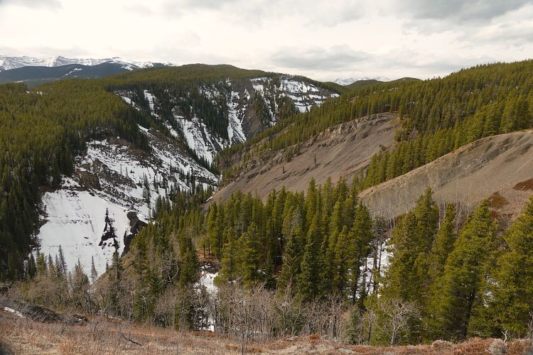
Yet another workout trip in the foothills, nothing exciting but a good option for this time of the year when you want to get out in nature but without avalanche risk or crowds. This trip is very similar to nearby Mount Dyson – good approach trails, lots of forest, very little in terms of views. In fact, I’d suggest combining Blue Ridge with Dyson if you have the time and energy and want to eventually do both.
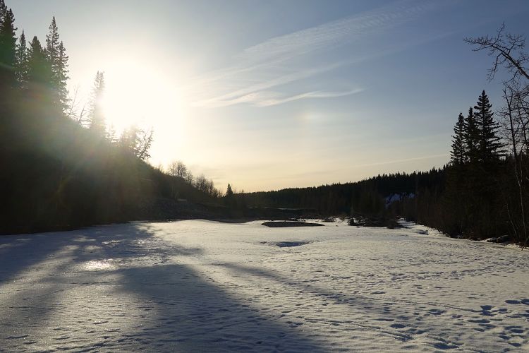
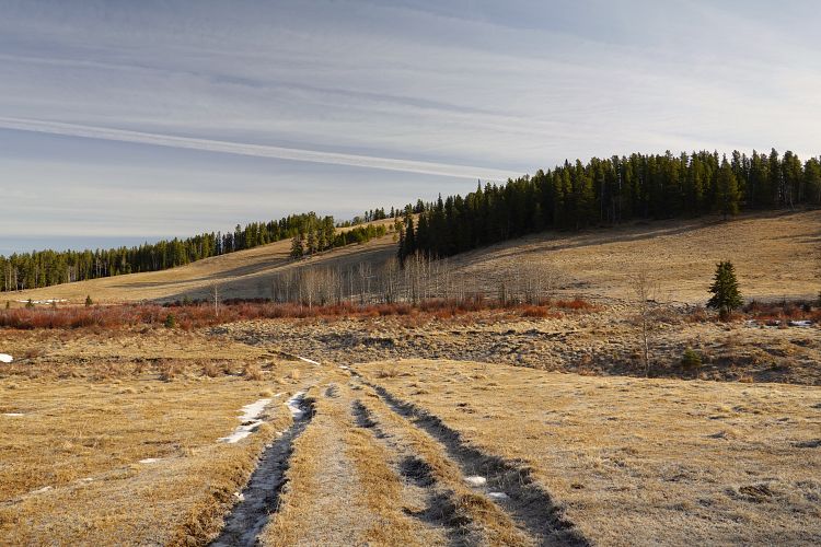
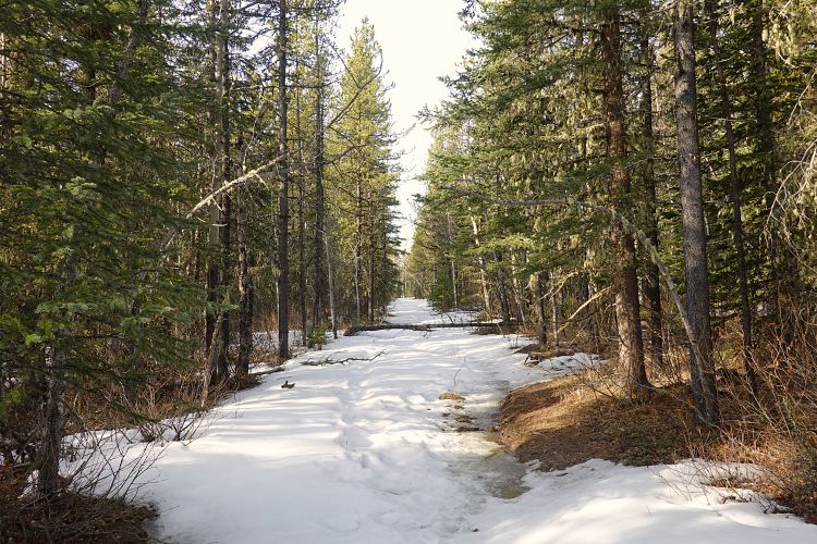
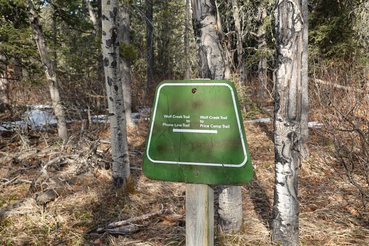
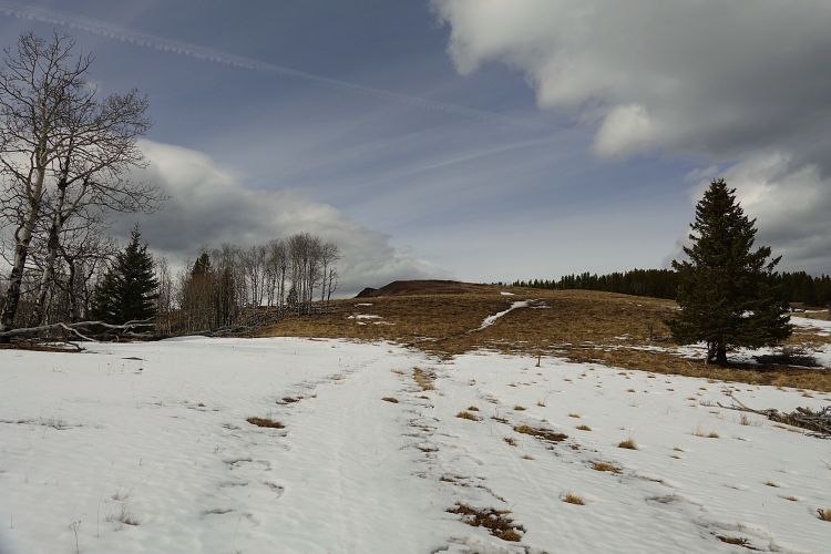
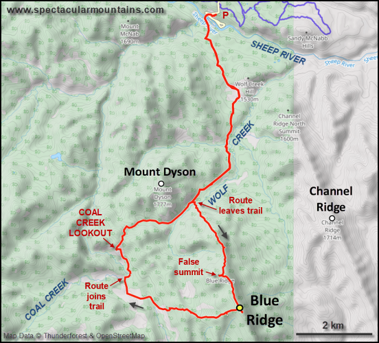
The Sheep River was conveniently frozen over again so the crossing right at the beginning from Sandy McNabb campground parking lot was no issue – definitely a good reason to do this trip when it’s cold! I followed the same approach as for Mount Dyson, across a nice open meadow, then on Wolf Creek Trail to the north end of Blue Ridge.
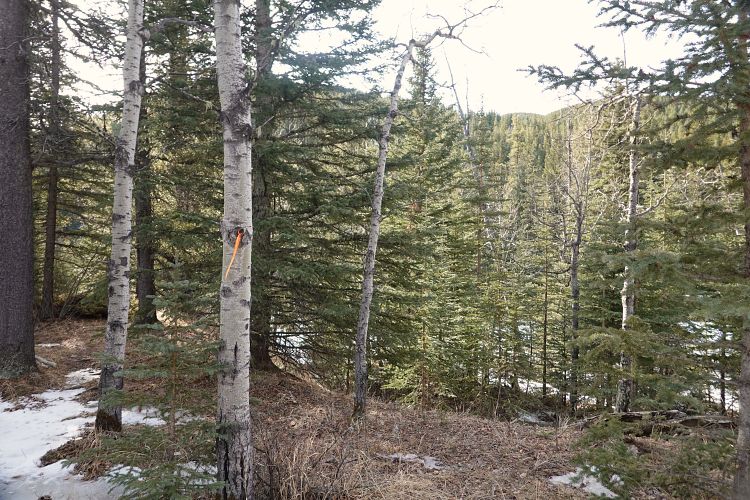
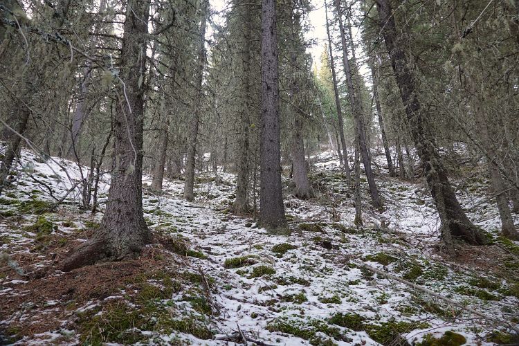
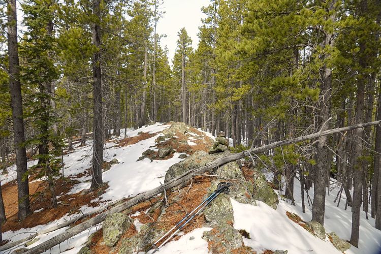
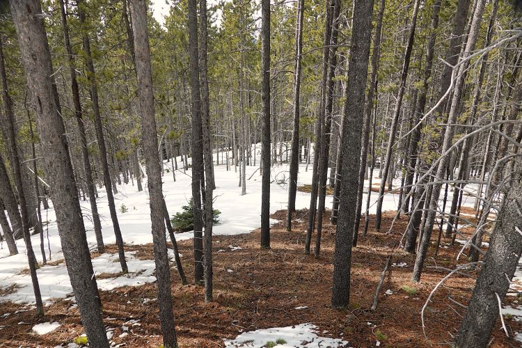
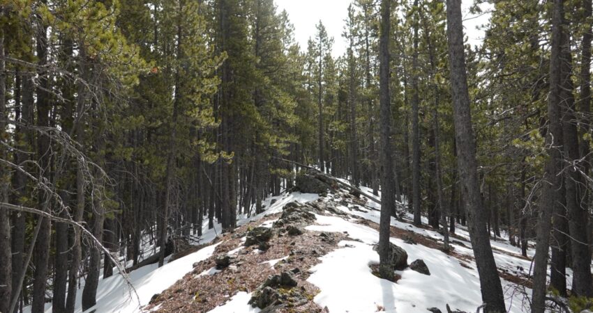
There’s even a bit of flagging where you leave the trail and head into the bush, across the creek (can be hopped), and up the forested north ridge. Lightly spaced trees made the ascent pretty easy, but also boring as there are pretty much no views. I first hiked to where the summit is marked, but the true summit actually turned out to be about 1 km further south. It’s only 5 m higher according to my GPS.
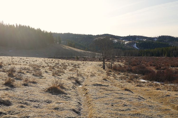
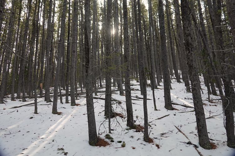
I like switching things up so for the descent I went down a gentle ridge on the west side to link up with meadows in the valley that took me north to a trail at Coal Creek. The snow on the trail was surprisingly shallow, so it was an easy plod back to the trailhead. All in all not exciting but a good winter workout loop.
|
Elevation: |
1915 m |
|
Elevation gain: |
960 m |
|
Time: |
8.0 h |
|
Distance: |
23.9 km |
|
Difficulty level: |
Easy (Kane), T2 (SAC) |
|
Comments: |
Requires river crossing. |
|
Reference: |
Own routefinding |
|
Personal rating: |
2 (out of 5) |
NOTE: This GPX track is for personal use only. Commercial use/re-use or publication of this track on printed or digital media including but not limited to platforms, apps and websites such as AllTrails, Gaia, and OSM, requires written permission.
DISCLAIMER: Use at your own risk for general guidance only! Do not follow this GPX track blindly but use your own judgement in assessing terrain and choosing the safest route. Please read the full disclaimer here.