Castle, AB, Canada
25 July 2020
With Don
Part I of a great exploratory trip to the South Castle area
Don and I had been planning an overnight trip for a while and our schedules finally aligned for this weekend. Both of us were interested in venturing deeper into the southern part of Castle Provincial Park, so we decided on an ambitious plan to combine four peaks – Jutland, Matkin, Font and Sage – over two days.
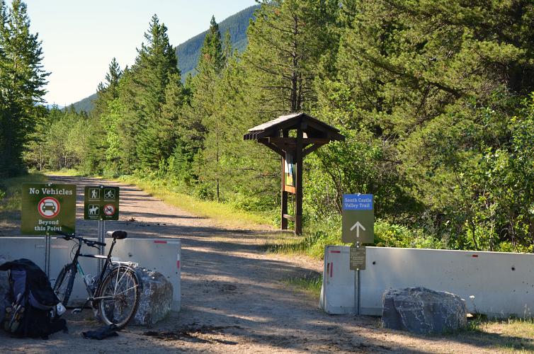
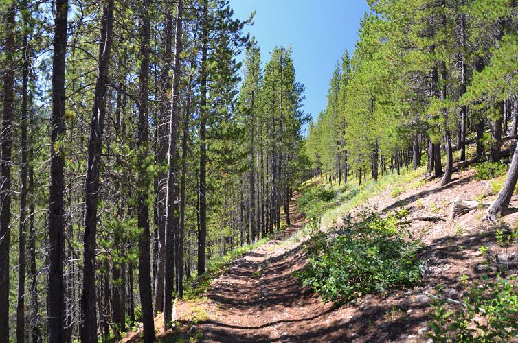
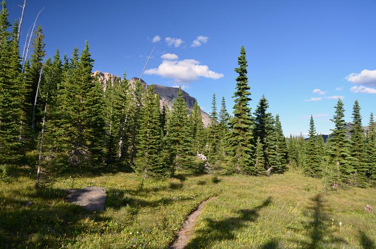
The plan turned into a real adventure and a challenging workout as well. On the first day, after a 3.5 hour drive from Calgary in the early morning, we biked the first 11 km along the South Castle Road to a junction where a trail heads southwest. There’s a rudimentary camp site here where we had a welcome first break after a bumpy ride with all the overnight gear on our backs.
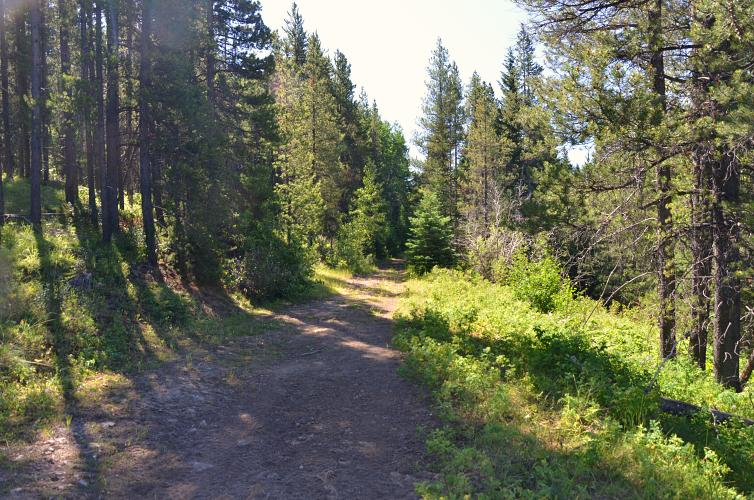
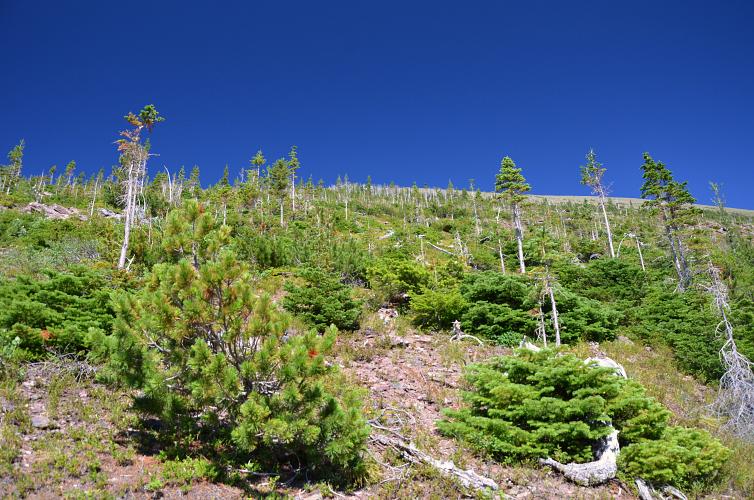
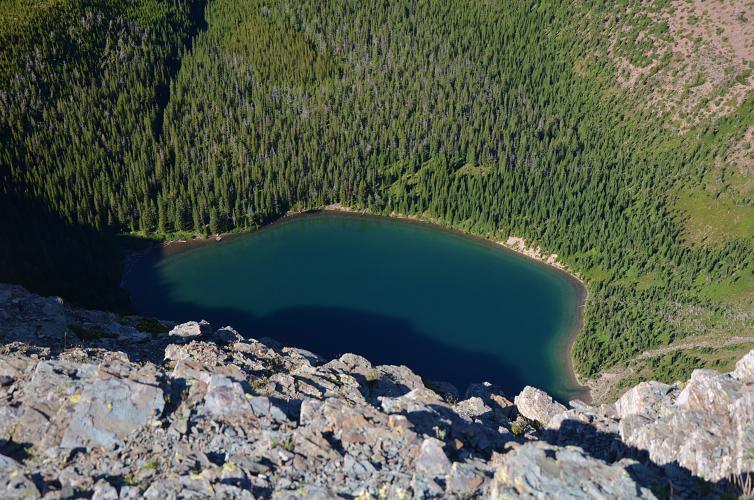
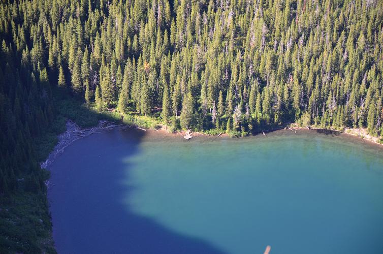
The trail heading southwest is not very well-frequented but easy to follow, at least initially. It first crosses the Castle River and then follows an old cutline for a few km on the northern side of Scarpe Creek before abruptly coming to an end at a wash-out. A smaller trail turns left just before the washout, crosses the creek, and goes up the forested slopes on the south side all the way to South Scarpe Lake. In hindsight this would’ve probably be the way to go: follow the trail to the lake, then hike up easy scree slopes to the NE ridge of Jutland. But we had no idea about this potential route until we could see the terrain from the summit, so we stuck to our original plan as mapped out on satellite images.
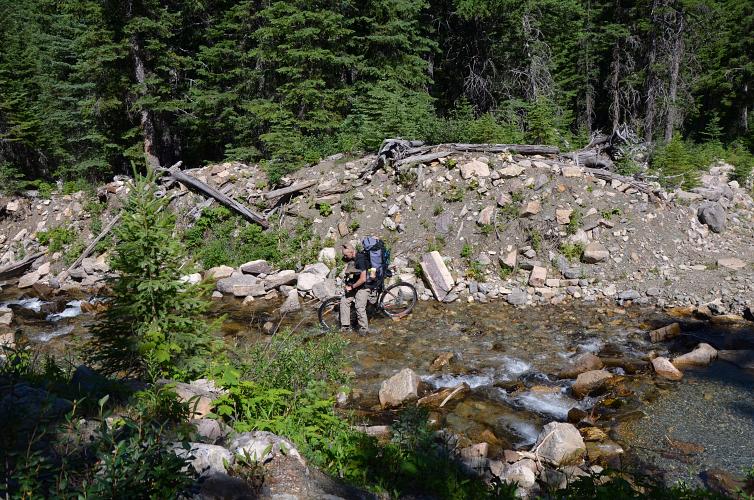
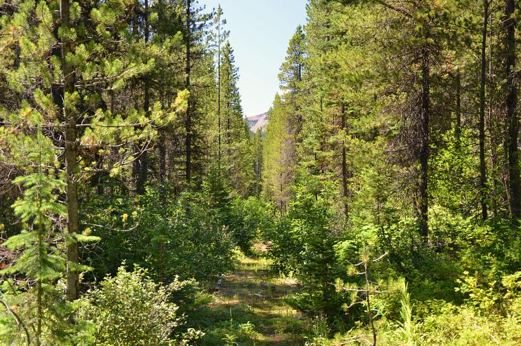
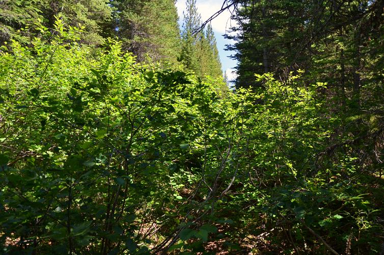
Continuing along the cutline heading southwest, the path became increasingly overgrown and difficult to follow. The cutline crosses the creek several times with plenty of washouts and more than once did we lose it in the mess of trees and bushes. It eventually switches over to the south side of the creek, but here it is full of huge alders growing almost everywhere that made our lives miserable and slowed our progress to snail-pace. Clearly, this cutline is many decades old and hasn’t been used in a long time.
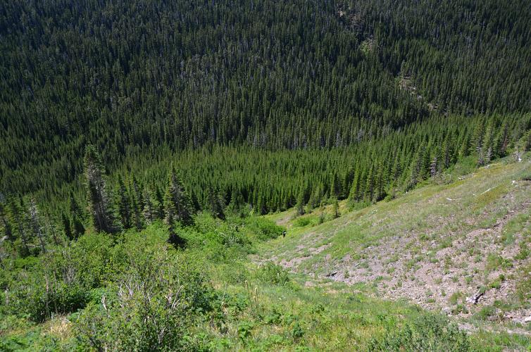
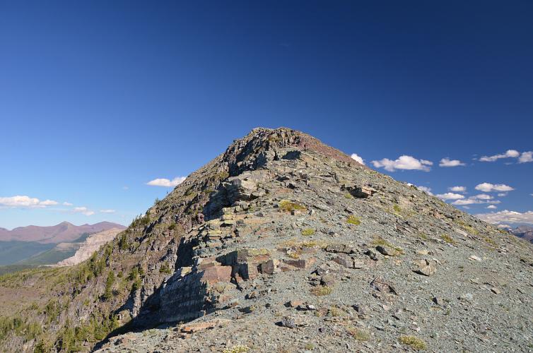
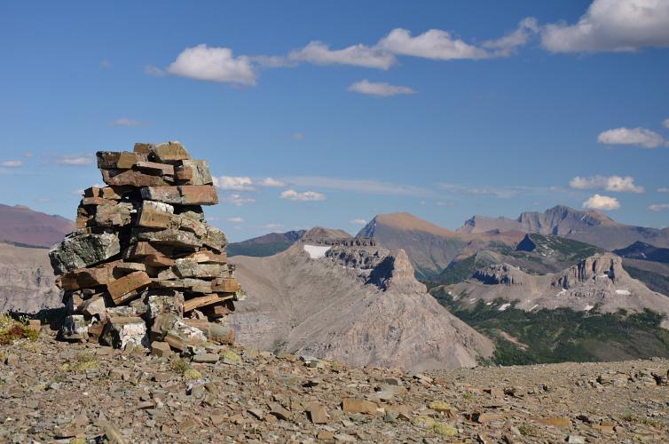
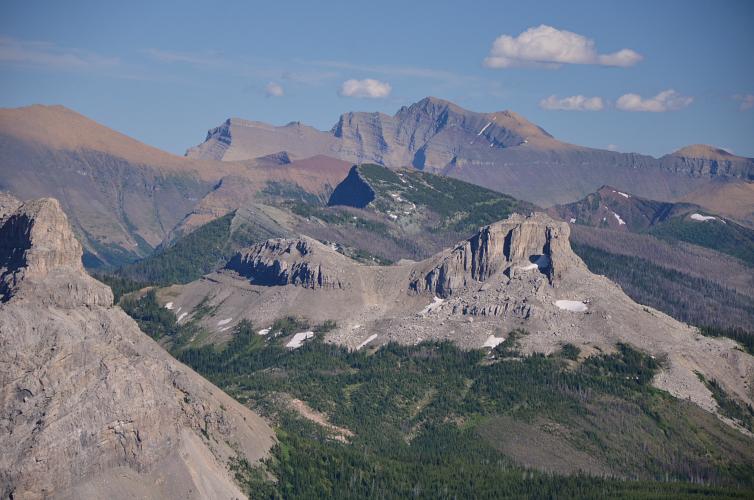
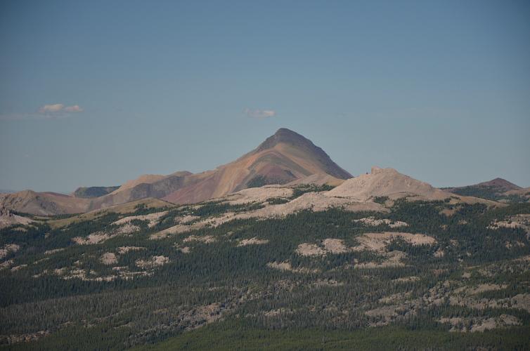
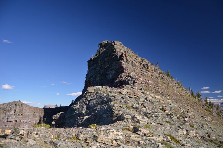
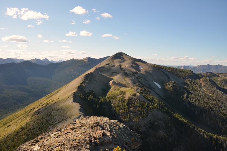
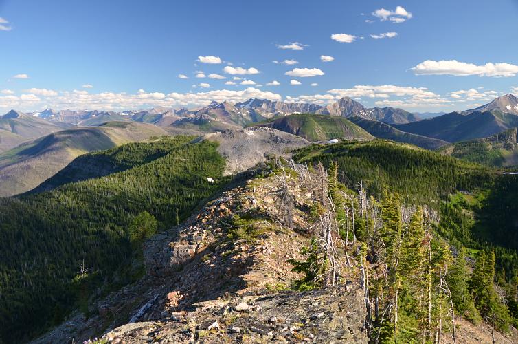
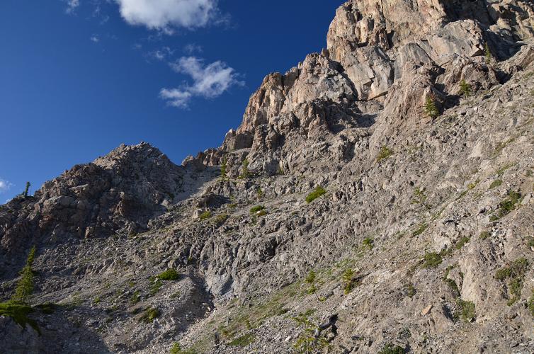
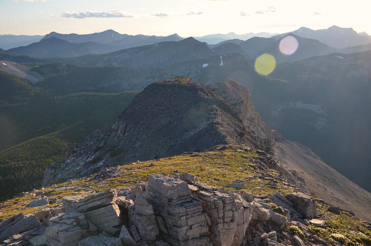
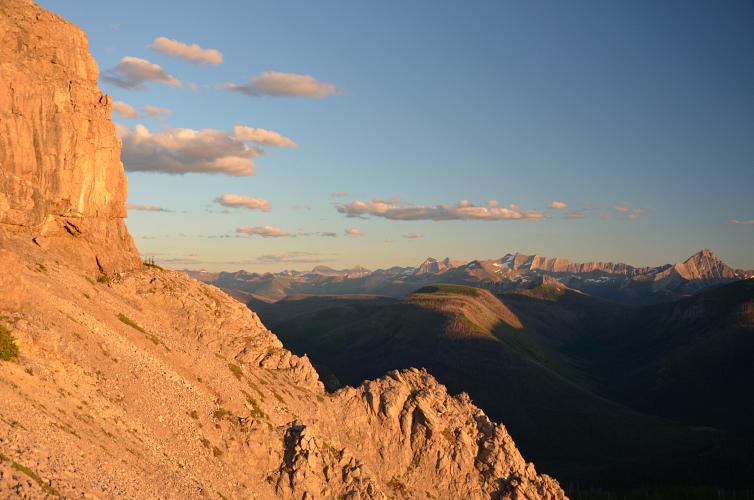
Tired of our sweaty struggle through the nasty alders, we abandoned the trail and headed uphill through the forest, which was actually easier to travel through. The going got less strenuous the higher we climbed and eventually all we had to do was tramp up open slopes of rock and rubble to Jutland Mountain’s northwest ridge. A short and easy scramble leads to the summit which is adorned with a sizeable cairn holding a summit register. Not many parties make it up here, perhaps one or two a year, and most as a side trip from the Great Divide Trail (GDT) to the south.
It was late by the time we left the summit, too late to consider tagging on Mount Matkin for Don as he also wanted to spend some time placing geocaches in various locations. Don has an impressive repertoire of far-flung adventures and remote ascents of obscure peaks that he has visited as an avid geocacher in Alberta. Many of the places he’s been to most people have never heard of, and there are some pretty cool routes he has pioneered to completely unknown summits. A passion for pristine places that we both share, providing ample material for entertaining conversations in the two days we spent together.
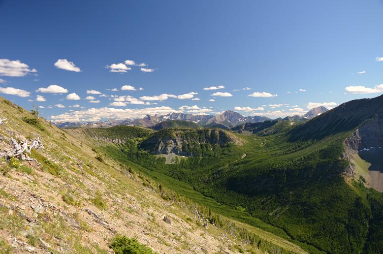
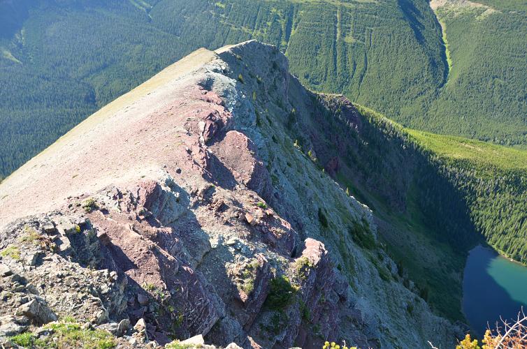
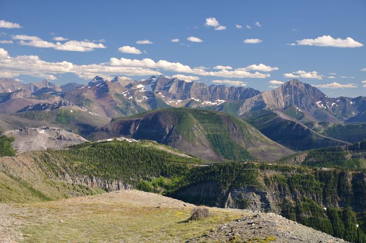
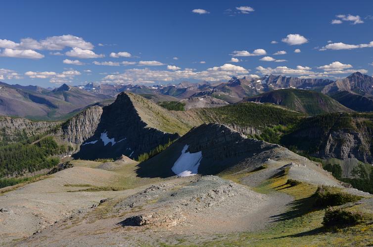
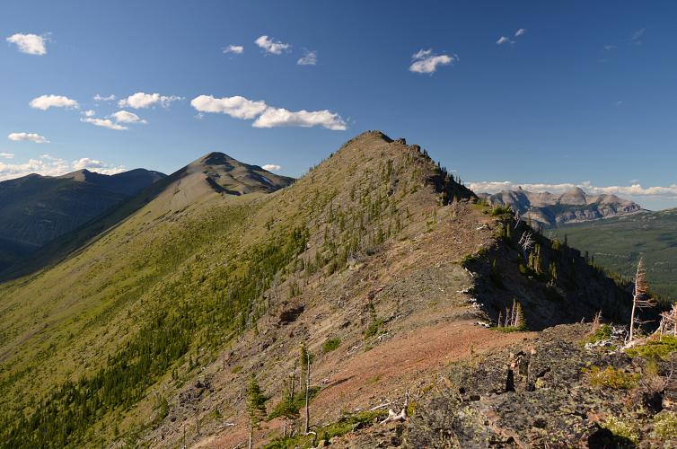
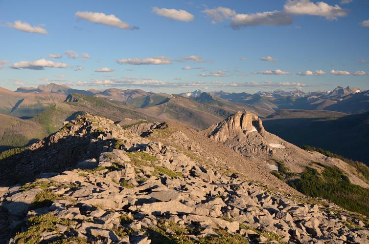
Before leaving Jutland Mountain we made a plan to meet at a specific spot on the GDT just below Mount Matkin where we would set up camp for the night, so Don could look after his geocaches and I could pay Matkin a visit. The ridge connecting Jutland with the long E-W ridge where the GDT runs features a small intervening sub-peak that requires some effort but also offers delightful scrambling and gorgeous views. However, it did take longer than I had anticipated and by the time I had joined the GDT and hiked south to the meeting spot it was already 7 PM. Pretty late considering I still had to climb another mountain, although I knew that Don was still behind me.
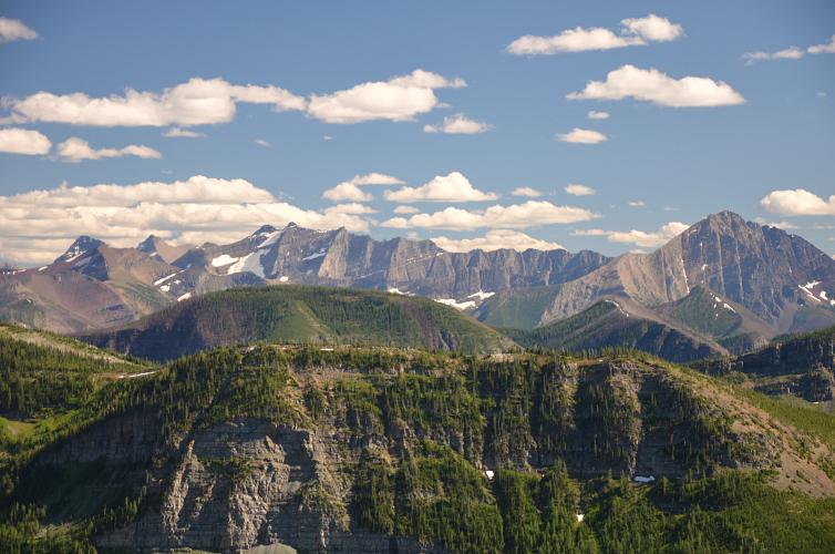
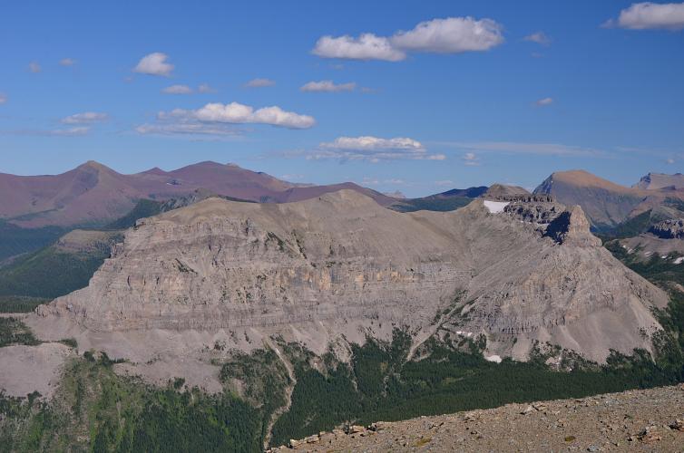
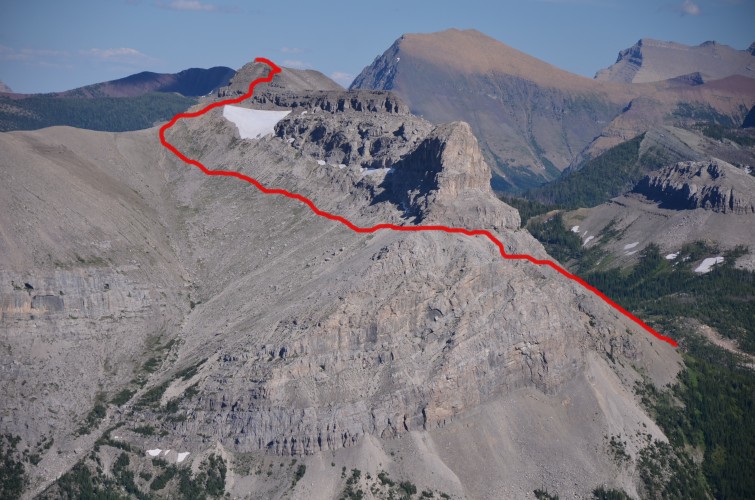
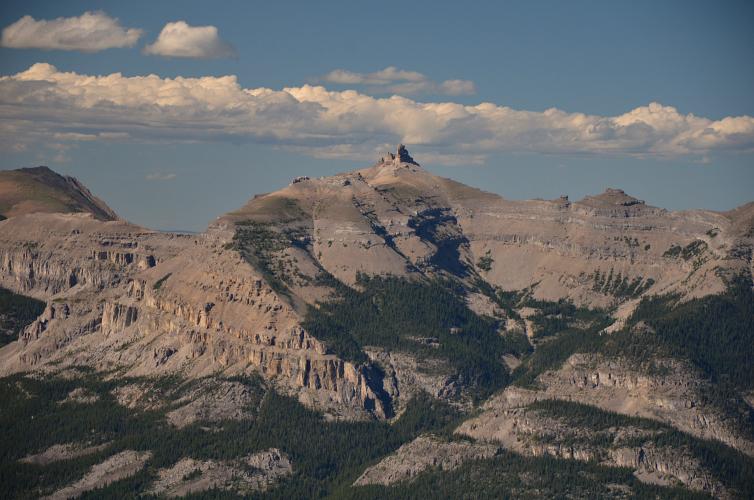
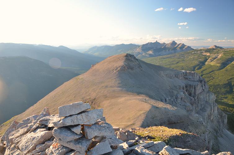
With no time to waste I dropped my heavy gear, stuffed a few granola bars and extra layers into my light daypack, and went on my way continuing towards the western slopes of my objective. Mount Matkin is a very interesting looking mountain that is surrounded by rampart-like vertical walls on all sides except for a major scree drainage in the northwestern corner. Getting to this drainage would’ve involved losing and regaining significant elevation north of the ridge I was on. From neighboring Jutland Mountain I had spotted a possible alternative route up: a ledge between cliffs on the western side that might loop around and connect with the wide bowl to the north. I had no idea if this was going to work, but as I got closer I started feeling more confident and simply started to follow my instinct – first up a scree slope to some minor cliffs (moderate scrambling), then to a talus-covered bench underneath a vertical cliff face that indeed connected with the wide bowl on the northern side. Perfect!
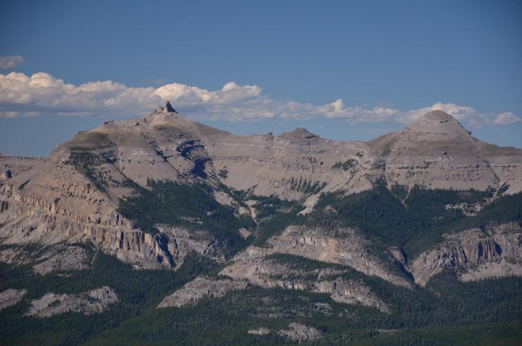
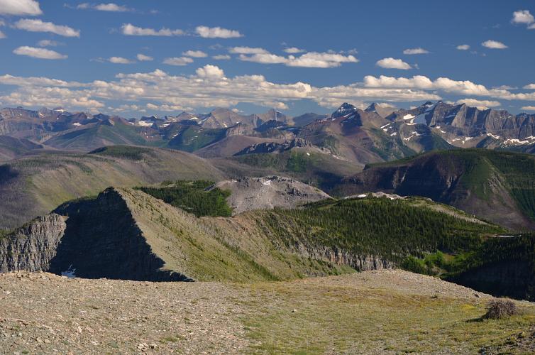
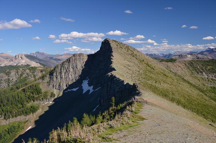
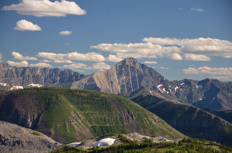
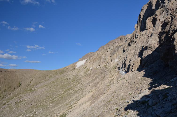
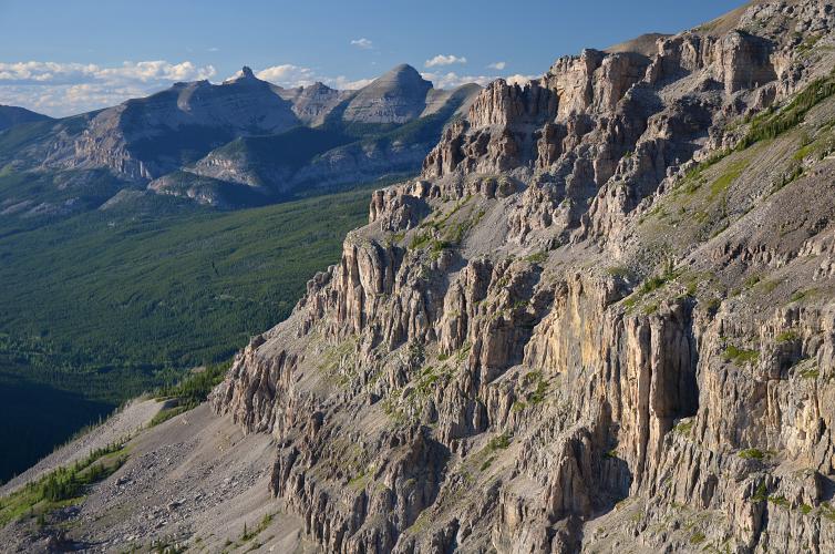
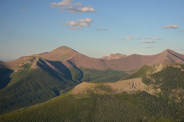
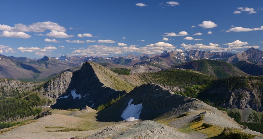
Now that the wiggling through the cliffs was done, the rest was easy. I contoured across the bowl to the eastern end where the upper cliff band is broken up sufficiently to offer a non-technical way to the top. There is an old cairn at the summit, which apparently very few souls seem to visit owing to the lack of an obvious route from the GDT. It felt truly amazing to be sitting here all alone in the glowing evening sunlight, with the beautiful craggy face of Font Mountain to the south and the long, sinuous ridgeline of the GDT stretching into the distance.
I took exactly the same route back, the handful of cairns I had built along the way proving to be very reassuring and useful as I scrambled along the bench again and through the cliffs in the fading daylight. I got to our agreed meeting spot on the GDT just after sunset and was very relieved when Don showed up a short while later. We were both bagged after a long day of almost non-stop exercise. That night, at over 2000 m elevation with sparkling stars above and nothing but fresh mountain air to fill our lungs, I got one of the best sleeps I’ve ever had. And I definitely needed it, because the next day was going to be just as demanding…
|
Elevation: |
Jutland Mountain: 2276 m |
|
Mount Matkin: 2399 m |
|
|
Elevation gain: |
1780 m |
|
Elevation loss: |
1170 m |
|
Time: |
11.5 h |
|
Distance: |
29.2 km |
|
Difficulty level: |
Easy (Kane), T2 (SAC) for Jutland; Moderate, T4 for Matkin |
|
Reference: |
No info was available to us prior to trip |
|
Personal rating: |
3 (out of 5) for Jutland, 4 (out of 5) for Matkin |
NOTE: This GPX track is for personal use only. Commercial use/re-use or publication of this track on printed or digital media including but not limited to platforms, apps and websites such as AllTrails, Gaia, and OSM, requires written permission.
DISCLAIMER: Use at your own risk for general guidance only! Do not follow this GPX track blindly but use your own judgement in assessing terrain and choosing the safest route. Please read the full disclaimer here.