Elkford, BC, Canada
27 August 2019
Solo
Easy hike with breathtaking views of a secluded little valley
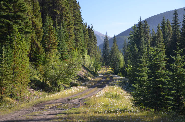
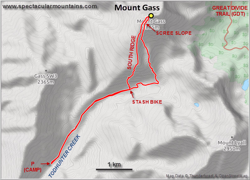
The day before, after climbing Mount Kilmarnock, I had driven south a few km along the Fording River Road and then east on a gravel road that leads up the Todhunter Creek Valley – the western approach for Mount Gass. There is a sign saying that this road, probably a former logging road, is closed to motorized traffic from Sep 1st to June 15th every year. It’s in pretty good shape and I managed to drive for about 3.5 km with my VW van until the first culvert made me turn around and set up camp at a nearby pullout, a lovely spot to spend the night completely alone up in this valley. With a high-clearance 4WD you could probably drive almost all the way up to the end of the road.
I knew from a mountain flora site (www.mountainflora.ca) that Mount Gass was hikeable from this direction, but I wasn’t sure exactly where. Once again the terrain turned out to be fairly benign, with many different route options to attain the summit.
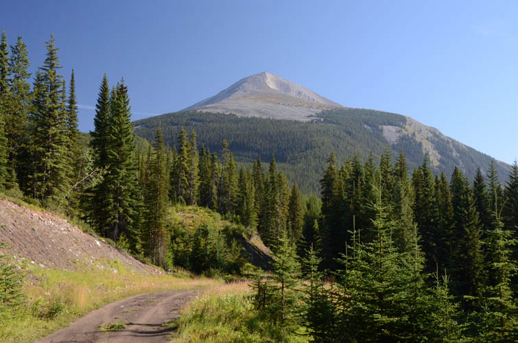
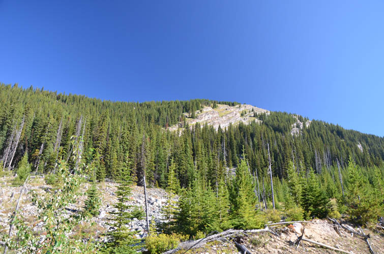
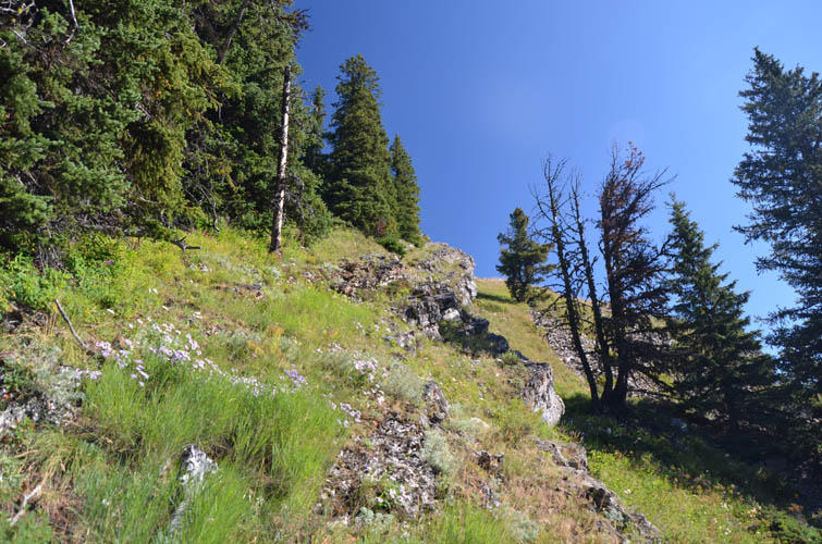
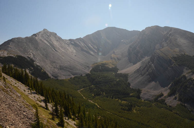
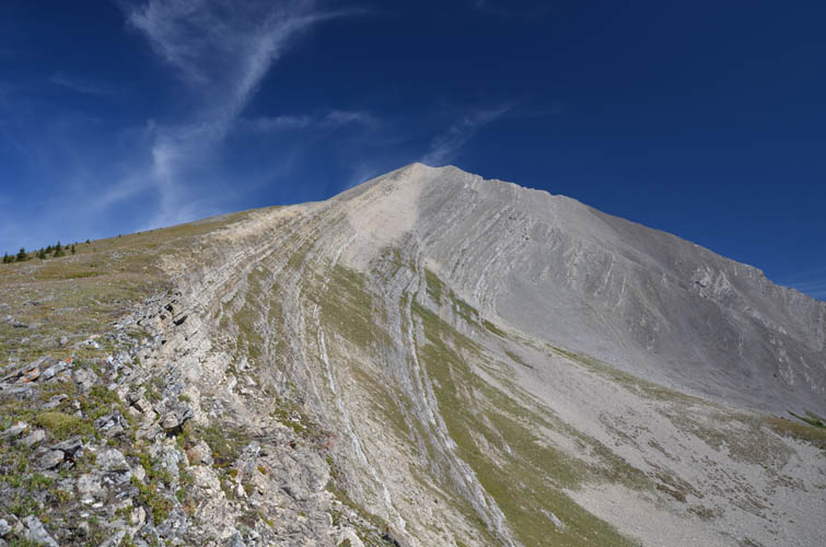
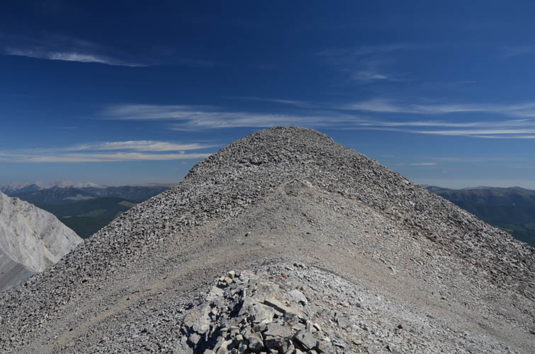
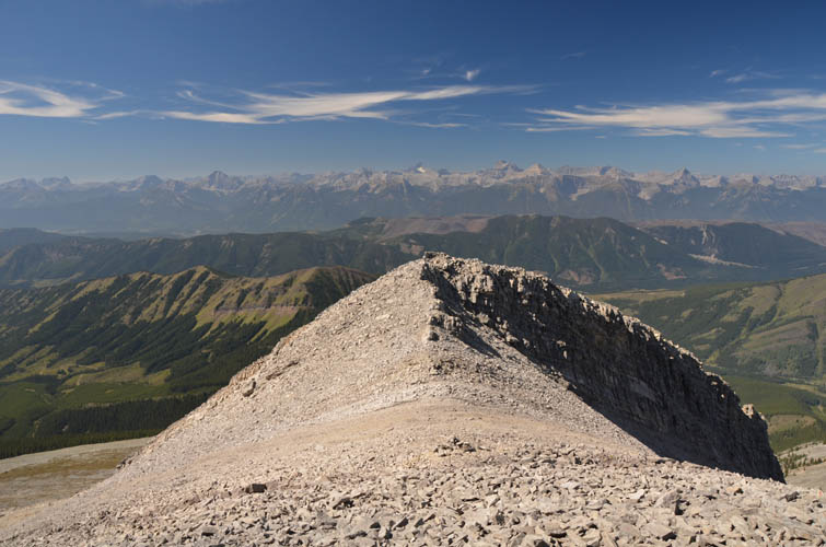
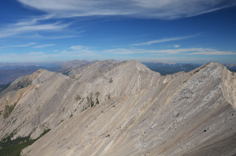
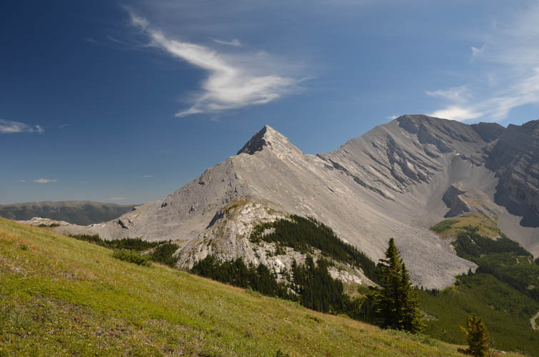
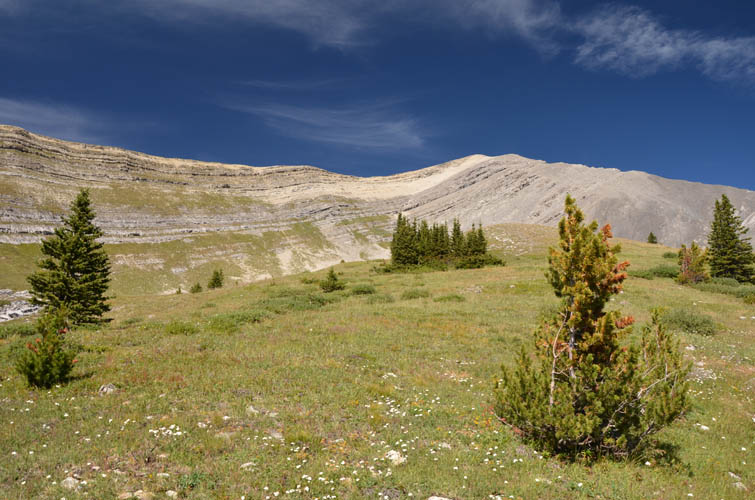
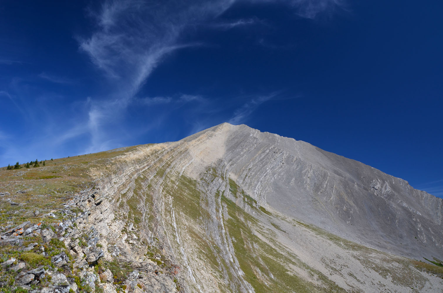
After biking up the road a further 3.3 km, I stashed my bicycle in the ditch and headed straight up the forest to gain a steep ridge with grass-covered ledges and cliffs on the right and wooded slopes on the left. There was some deadfall in the forest, but the bushwhacking wasn’t too bad. I’m glad I took this ascent route; if I had veered a little too far to the right (east) I would’ve likely ended up in a confusing maze of cliffs instead of the ridge top. Once on the top of the ridge, the rest was easy: a lovely hike on a large, grassy platform above treeline that gently slopes upward toward the false summit. Grassy patches are conveniently located almost all the way up, making this one of the most pleasant ascents for me in a long time. The true summit is directly behind the false one and just takes a couple of minutes to reach.
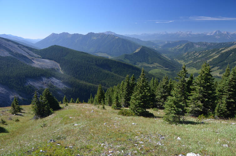
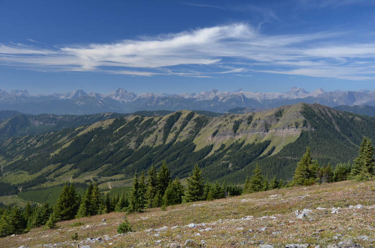
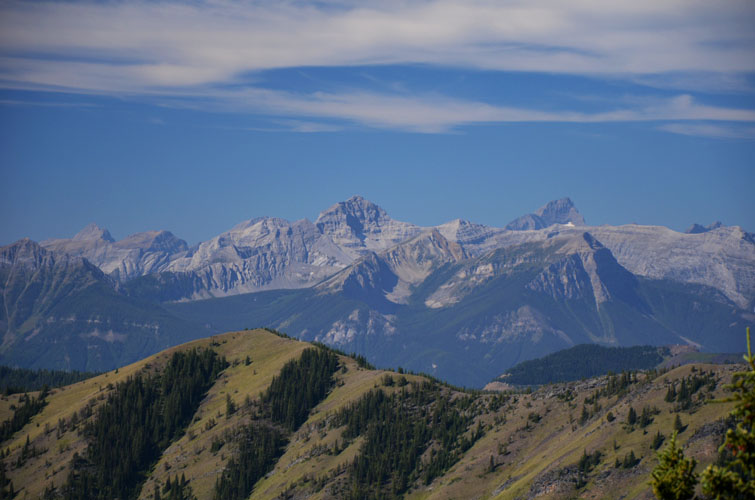
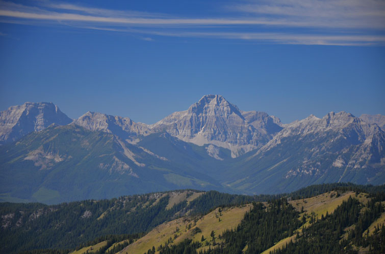
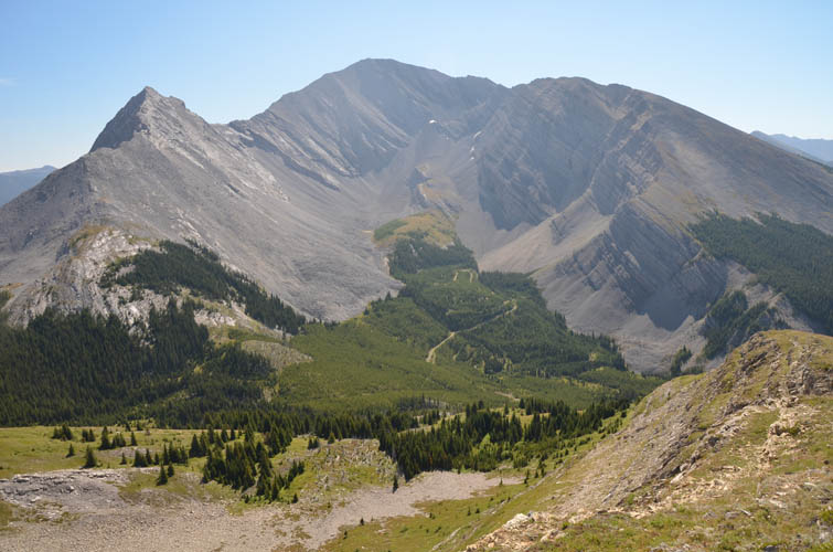
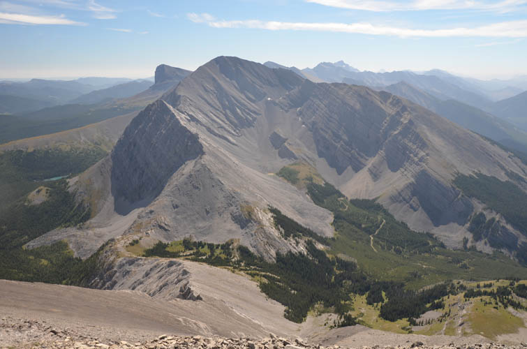
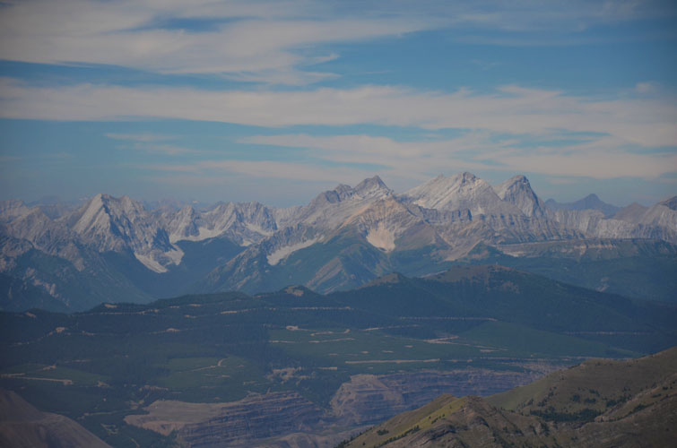
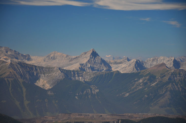
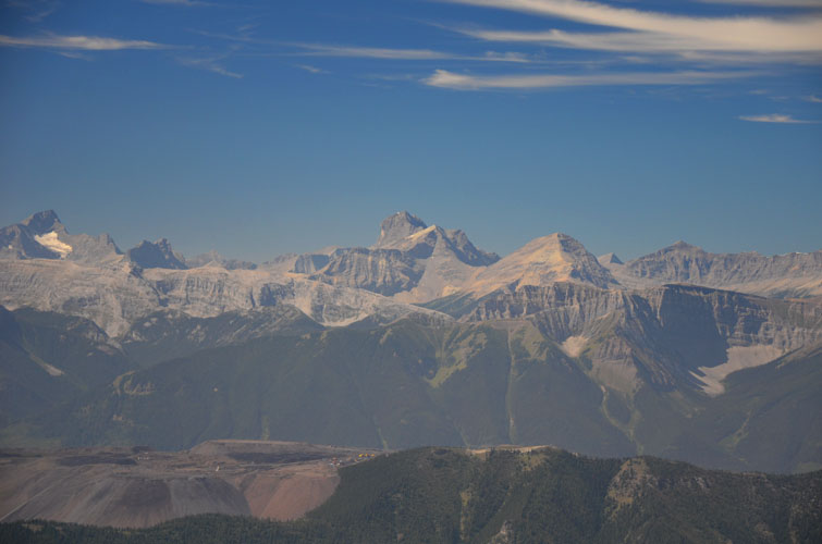
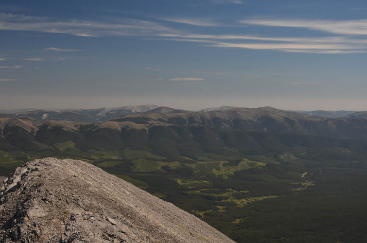
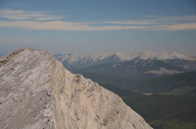
The views of the Continental Divide were stunning as usual, similar to those from Kilmarnock, but what really struck me was the sight of the scenic little valley below me to the south, with Mount Lyall behind. It’s such a pretty picture, the perfect combination of green meadows, rich forest, and a small lake flanked by slopes of scree and craggy ridges. I didn’t want to leave the summit!
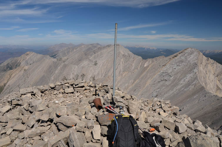
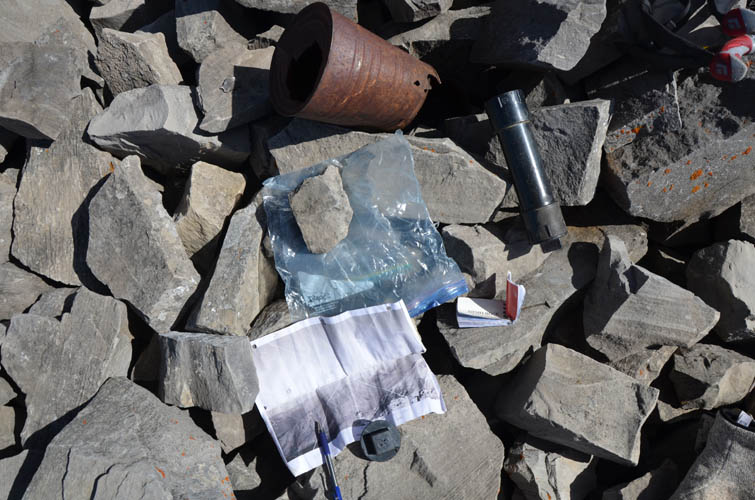
The new summit log placed by Don McLaughlin in 2017 already had some five additional entries in it, with people apparently coming up from both the AB and the BC side.
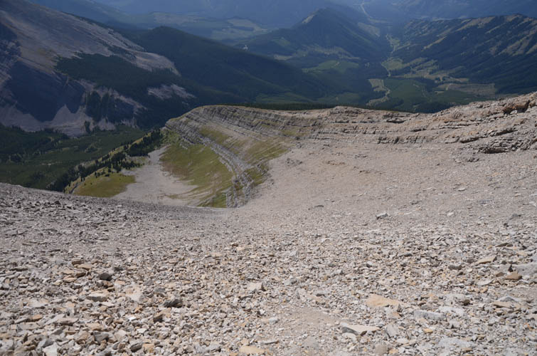
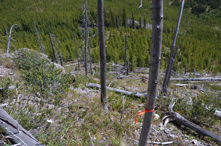
While going back down the same way I came up would’ve likely been the easiest and quickest way, I figured why not do a little more routefinding and see if the scree on the slopes directly south of the summit (and east of my ascent ridge) would be any good for step-plunging. Well, it wasn’t really – it wasn’t horrible, but not great either. Once off the scree slopes, I scrambled down a gently inclined rock band (easy) to get to the meadows in the valley below. Past the meadows there was a short stretch of deadfall (orange flagging here) until I hit an old logging track that links up with the main dirt road again. I was leisurely ambling down this track, whistling to myself, when suddenly I heard a voice say “I knew there was somebody there!”. Around the corner a dirtbiker from Elkford was taking a break, enjoying the views of this splendid isolated valley. I was as surprised as he was, given that I hadn’t seen a soul up these mountains in two days!
Now all I had left to do was to walk down the road a short distance, jump on my bike, and enjoy the fast ride back to my van. The alternative descent was actually quite nice in the end for some variety of terrain, although next time I’d probably head down the south ridge first (instead of taking the scree), then scramble through the cliffs into the meadows below. Overall a really enjoyable and surprisingly short hike!
|
Elevation: |
2865 m (official), 2866 m (my GPS) |
|
Elevation gain: |
1220 m |
|
Time: |
5.5 h |
|
Distance: |
12.8 km |
|
Difficulty level: |
Easy (Kane), T3 (SAC) |
|
Reference: |
None for this route |
|
Personal rating: |
5 (out of 5) |
NOTE: This GPX track is for personal use only. Commercial use/re-use or publication of this track on printed or digital media including but not limited to platforms, apps and websites such as AllTrails, Gaia, and OSM, requires written permission.
DISCLAIMER: Use at your own risk for general guidance only! Do not follow this GPX track blindly but use your own judgement in assessing terrain and choosing the safest route. Please read the full disclaimer here.