Pyrenees, Catalonia/Spain
3 June 2018
With Wen
After the fantastic scramble up Pedraforca the day before, we wanted to take advantage of the decent weather window (meaning: at least no rain in the forecast!) and go for another hike in this part of the Catalonian Pyrenees near the town of Berga. Berga is most famous for La Patum, an annual cultural festival featuring several days of parades, dances and fun fairs, culminating with an evening of fire-spewing dancers going crazy amidst a frantic crowd. Before diving into this frenzy, we thought we should enjoy the tranquility of the mountains once more.
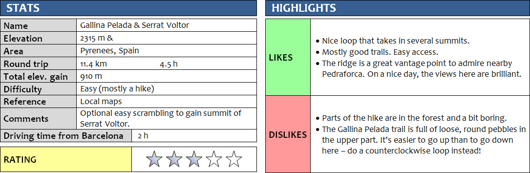
The Gallina Pelada hike is another fairly popular one in this area. By far not as popular as Pedraforca, but many people seem to combine these two for a weekend of hiking as they are so close to each other.
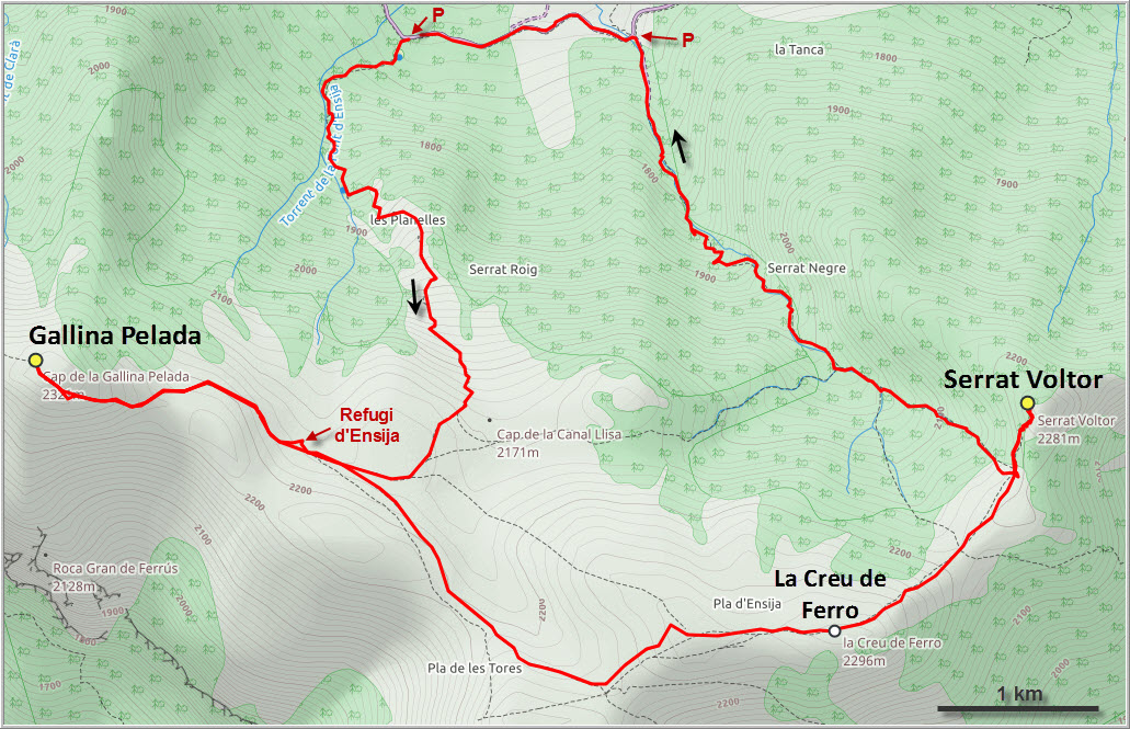
We parked our van at the small, quiet parking lot at the trailhead and camped here overnight (we were the only car). Instead of going directly up to Gallina Pelada along the main trail, we decided to make a loop out of today’s trip, taking in a slightly lower summit called Serrat Voltor on the eastern end of the main ridge as well. After a short walk along the narrow asphalt road, we hiked up the fairly boring trail in a narrow valley towards the ridge top – most of this was in the forest without any views whatsoever.
At the top of the ridge we turned left (east) and followed a faint path through the trees towards Serrat Voltor’s craggy summit. There was some fun and pretty straightforward scrambling in the last few hundred metres to get to the top. I suspect all of that might be avoidable by staying in the trees and going around the left (north) side. From the summit we could see the entire length of the ridge, and Gallina Pelada actually looked quite far away, a small nub hidden in the clouds. Down to the south the views were pretty decent: a long line-up of distant hills and mountains, looking much tamer than what we could see to the north. Here, it is of course the rocky Pedraforca that dominates the field of view.
It was a pleasant hike along the rounded grassy ridge towards Gallina Pelada, with a minor high point called “La Creu de Ferro” (Iron Cross) along the way. We followed a good path down to the Refugi d’Ensija shelter, from where it was a short jaunt up to the summit of Gallina Pelada. Unfortunately, the views were largely obscured by clouds again.
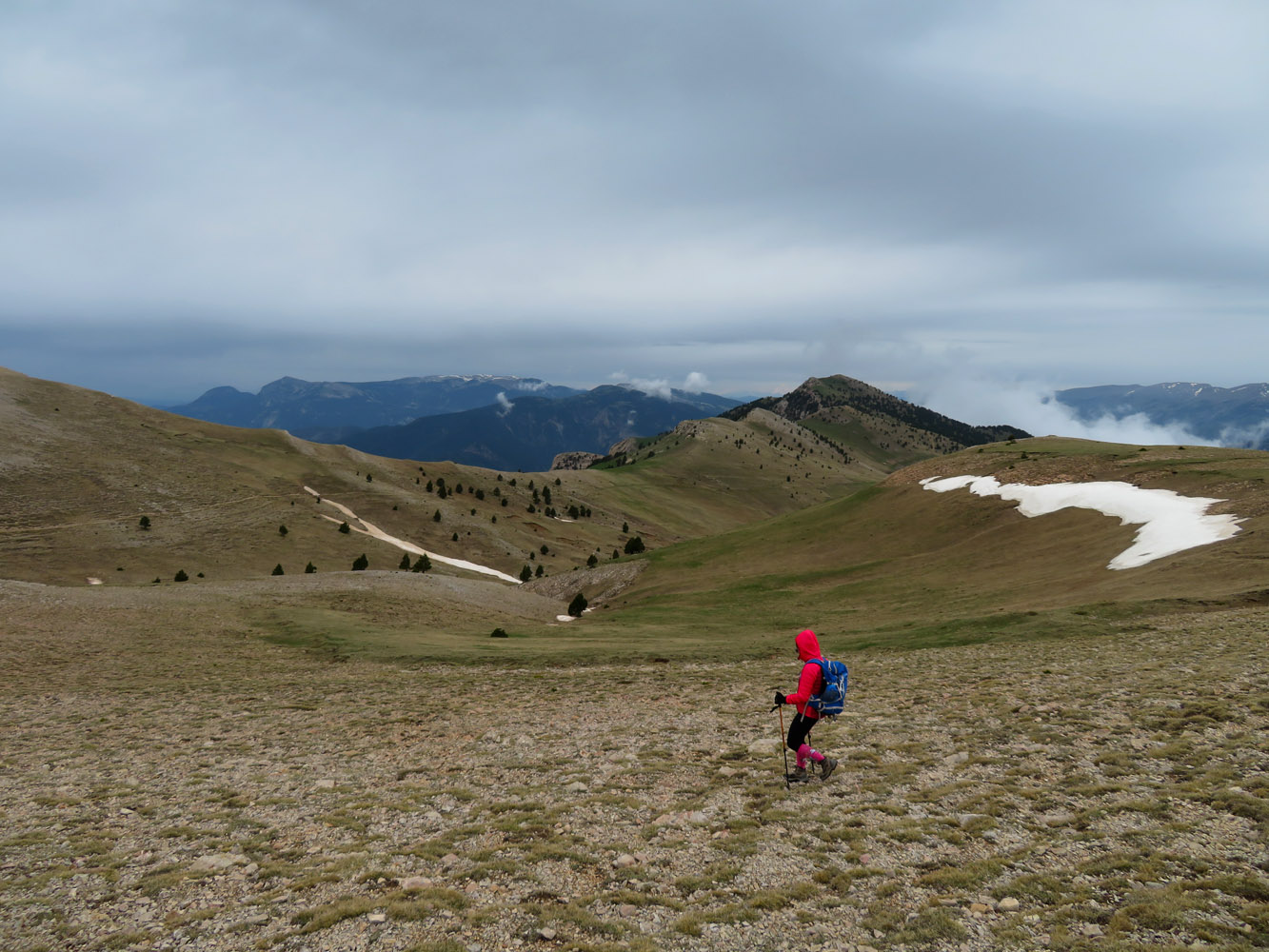
The descent from the hut to the parking lot along the main trail was surprisingly rubbly and loose, with copious amounts of ballbearing-like pebbles strewn across the path. This was very different from the quiet ascent path we had taken further east in the morning, where the ground was either mud, hard solid rock, or snow. The origin of all these little pebbles were outcrops of conglomerate – a sedimentary rock type consisting of rounded clasts that is often quite friable. Many of the conglomerate outcrops had been partially eroded, either by rain, flash floods, or by the many hikers that trample over them.
Because it’s easier to go up on such loose, rubbly trail than to descend it, and because there were still some isolated snow patches on the eastern trail on our ascent, I would highly recommend doing this loop in a counterclockwise direction instead of clockwise (as we did). That will make it less slippery going up on the pebbles, and easier on the feet going down on the snow. All in all this is quite a nice hike that stands out for its magnificent views of Pedraforca. On a cloudy day, it’s mostly a workout hike. Good enough for me!
DISCLAIMER: Use at your own risk for general guidance only! Do not follow this GPX track blindly but use your own judgement in assessing terrain and choosing the safest route.
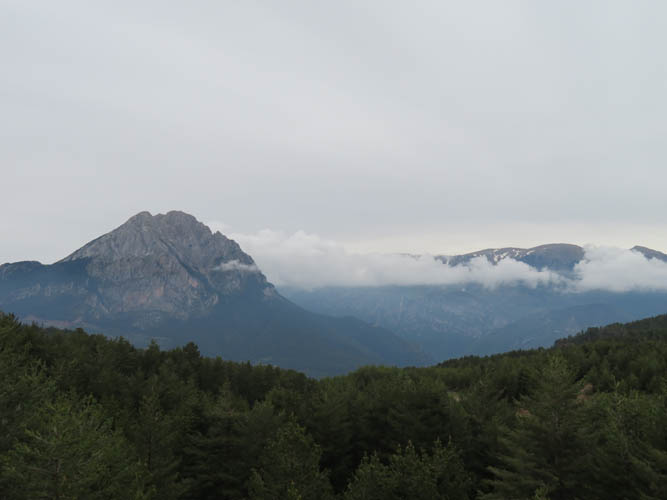
First view of Pedraforca from the road in the morning.
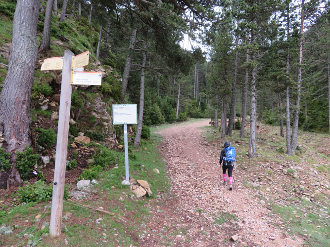
The eastern trailhead, the shortest route to Serrat Voltor.

It’s a narrow, dark valley.
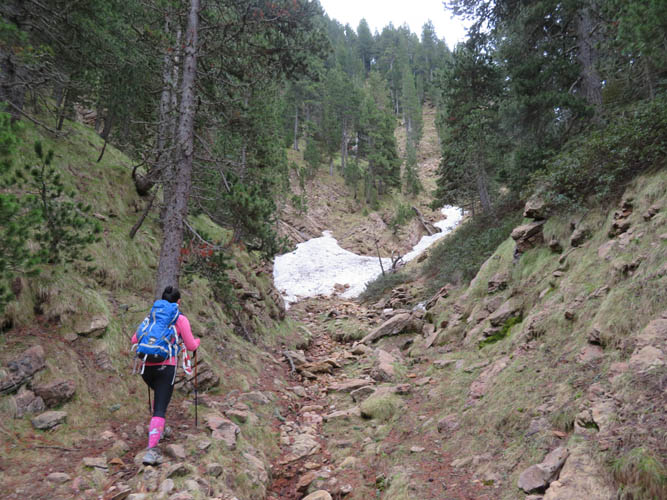
The trail is decent in most parts. Here and there, patches of snow still cling to the most shady spots.
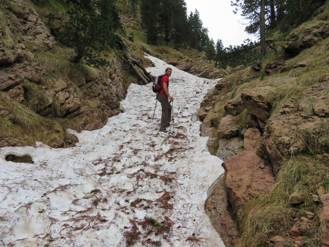
This route would be better on the way down!
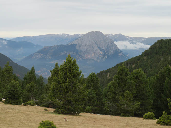
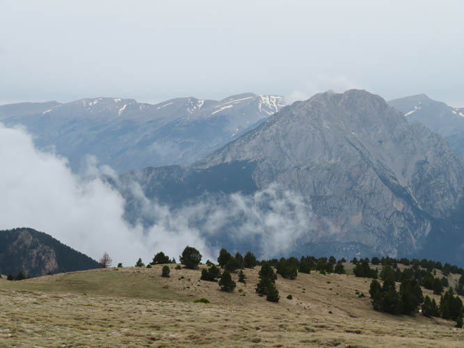
At the top of the ridge, looking back (north) at Pedraforca.
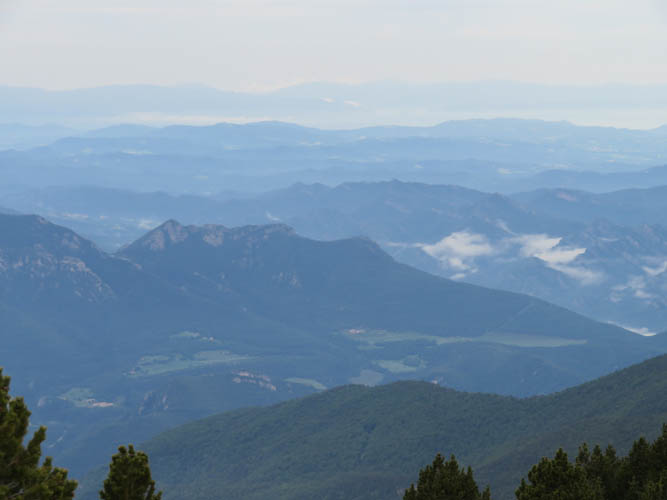
To the south, row upon row of ridges and hills appear.
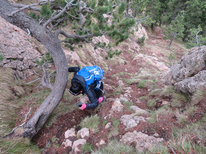
The short, easy scramble towards the summit of Serrat Voltor.
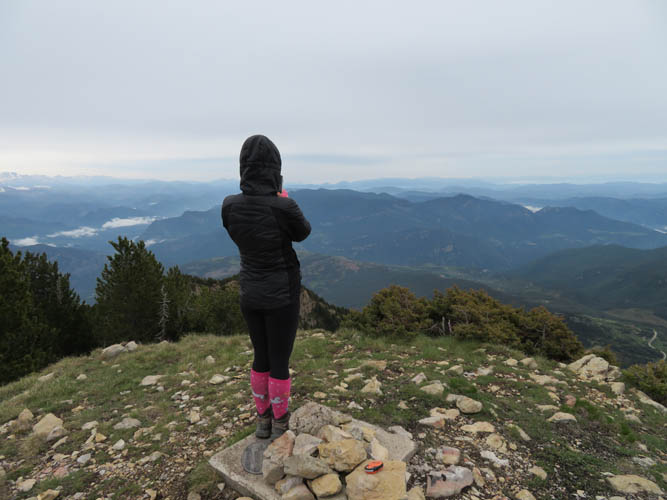
At the summit of Serrat Voltor. Too bad the skies are hazy today.

A survey marker on the summit plinth.
Puigmal (2910 m) can be seen far in the distance to the NE.
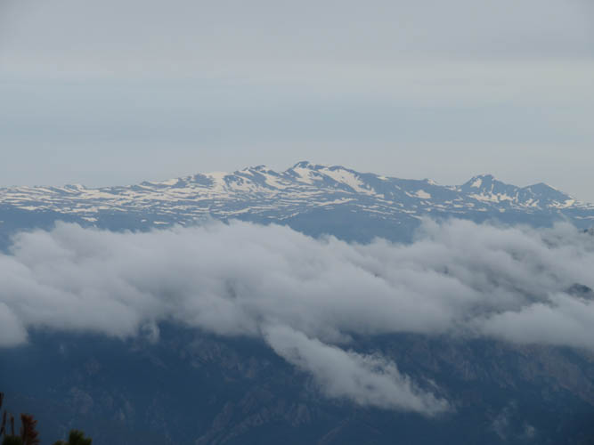
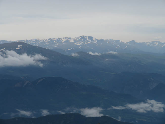
French-Spanish border summits: The highest peak in the centre is Pic de Carlit, the smaller one on the right is Puig Peric and Petit Peric.
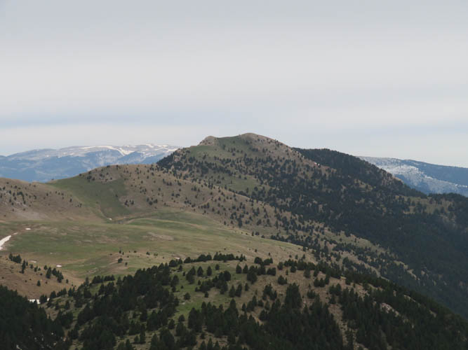
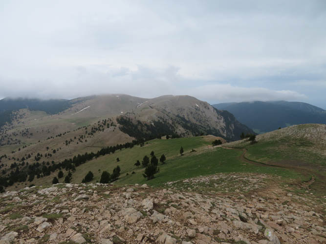
This is all we have to contend with for now: an easy grass ridge to Gallina Pelada, the high point in the distance.
Along the ridge, looking back at Serrat Voltor.
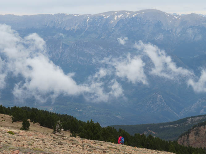
Clouds are starting to move in – nothing new in this region!
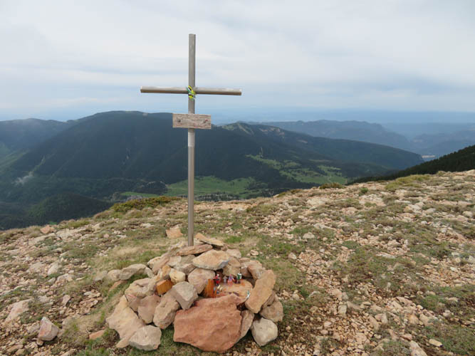
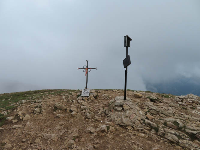
“La Creu de Ferro”, an intermediate high point along the ridge.
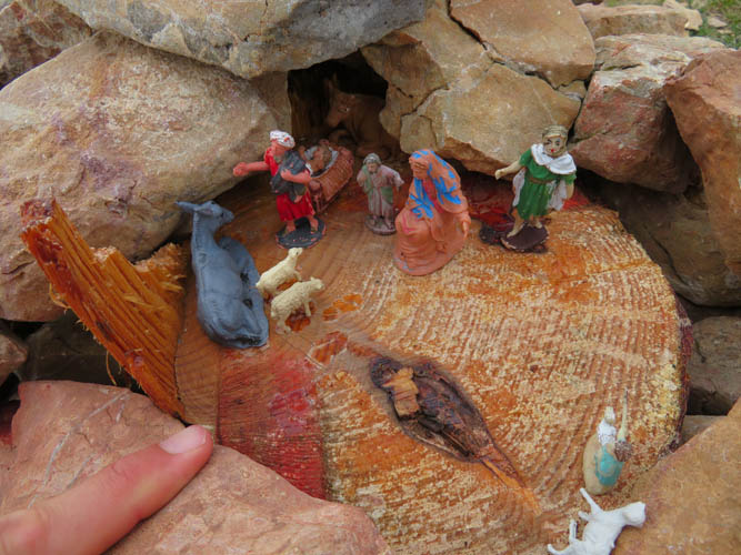
A collection of neat little figurines is hidden in the cairn here.

It’s wonderful to hike along this gentle ridge while staring at the mighty Pedraforca to our right.
This is definitely a hike where you’d want to wait for a sunny day!
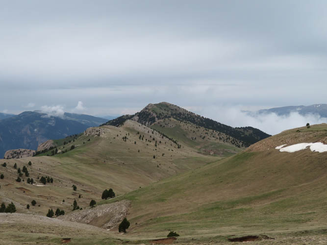
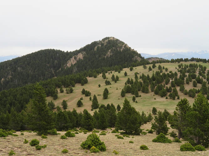
Gently rolling hills and ridges on the way to Gallina Pelada.
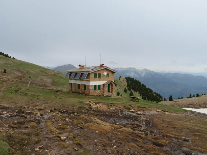
Refugi d’Ensija. It was closed when we came by – only one bare room acting as an emergency shelter was open.
Gallina Pelada summit. No views at this time, unfortunately.
Heading back down. Serrat Voltor is in the distance on the left.
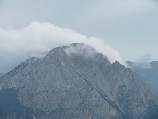
Another misty look at Pedraforca.
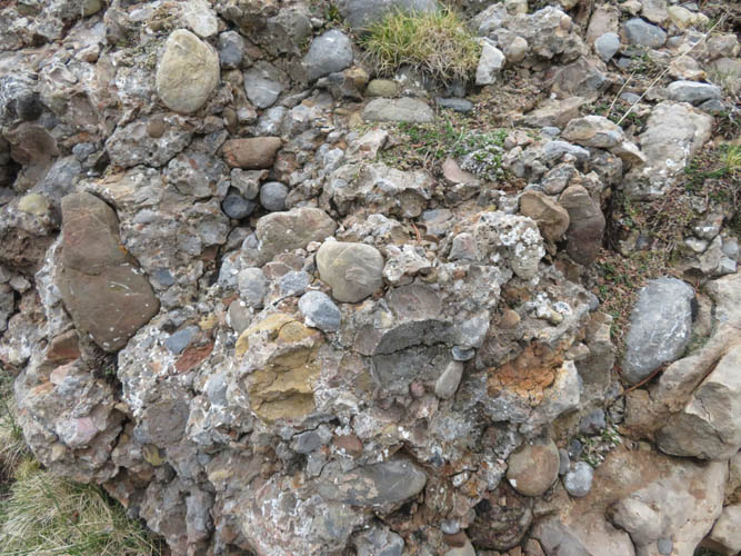
Crumbly conglomerate on the way down.
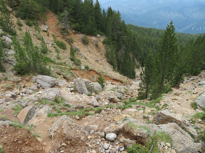
There were quite a few washouts in some parts of the trail, the result of conglomerate erosion.