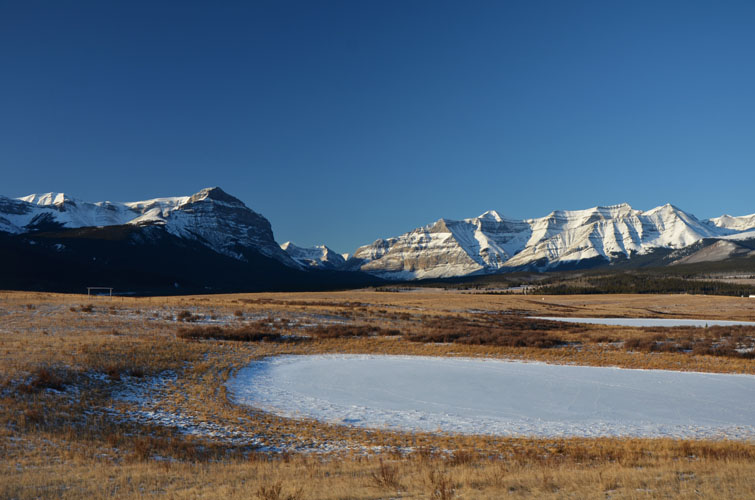
Ya Ha Tinda, AB, Canada
1 December 2019
With Phil
A big winter slog with beautiful views of a remote area
If we had to pick one word to sum up this trip, Phil and I wouldn’t hesitate a second to call it one big SLOG. Nonetheless, what is a strenuous and lengthy slog in the winter can also be a beautiful and relaxing hike in the summer. It’s all totally dependent on weather and conditions sometimes and this trip is the perfect example.
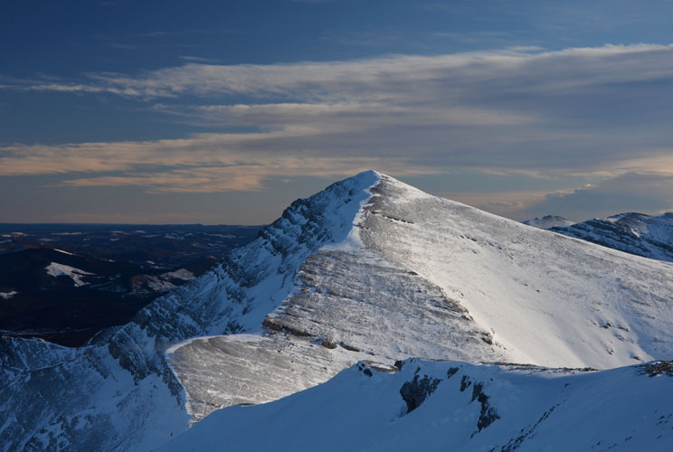
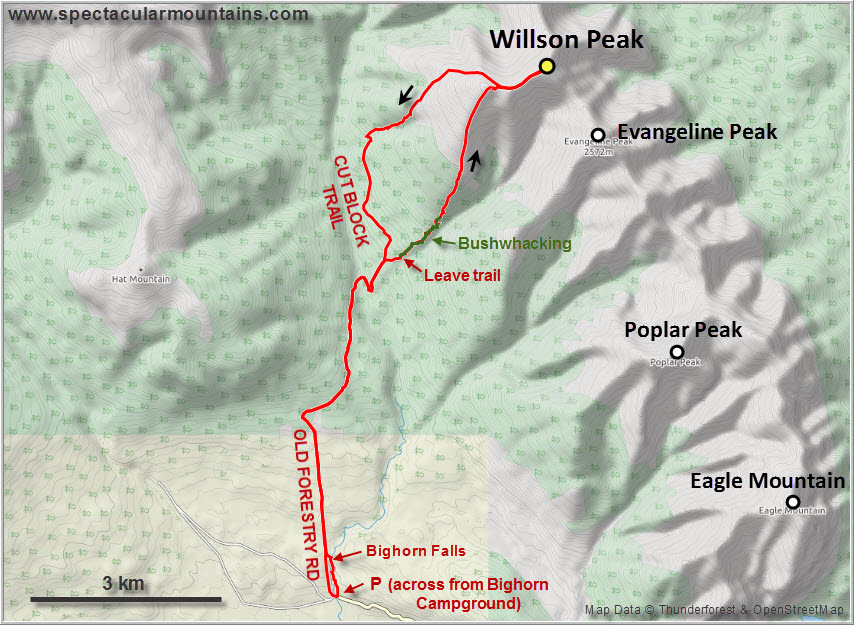
The objective we picked for this weekend was aptly fitting in with Phil’s penchant for obscure and unknown peaks (which I share, of course!). It was the unnamed summit directly north of Evangeline Peak on the long, undulating ridge that forms the northeastern boundary of the Ya Ha Tinda area. With no published reports and no names on any maps, we decided to refer to it as Willson Peak after the nearby Willson Creek that drains the mountain’s eastern escarpment. Perhaps “Slog Peak” would’ve been more fitting, though.
We completely underestimated the amount of snow covering the valleys and wind-sheltered slopes of the area and left our snowshoes in the car, much to our annoyance later on. This explains in part how a trip that probably takes 6 to 7 hours in the summer took us a full 10 hours!
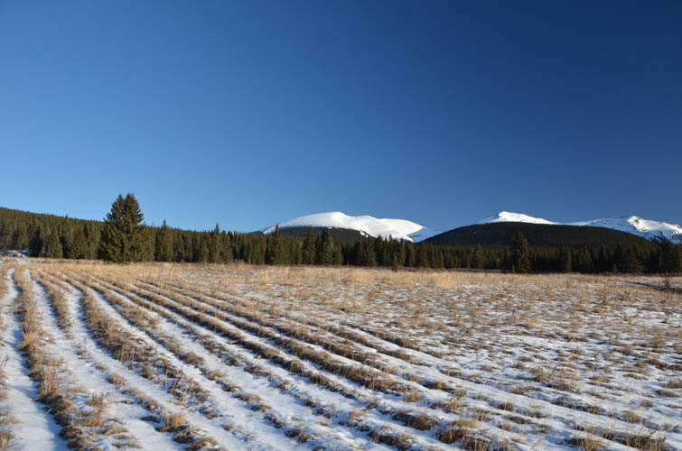
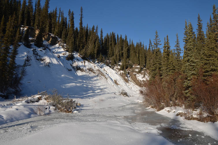
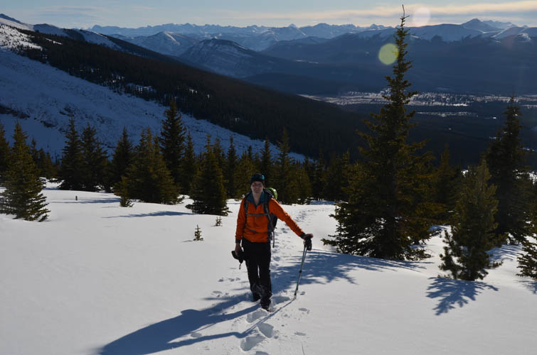
While there was very little snow on the Old Forestry Road that runs the first few km from Bighorn campground across open grassland towards Hat Mountain, our pace slowed significantly after that. We turned right at the T-junction and continued on a trail that had been packed by horse travel perhaps a few days ago, but this had also made it very uneven and awkward to walk on. Once we descended to Bighorn Creek, the snow was fresh and we had to plough our own path, which was way more exhausting than we first thought. Yes, today wasn’t going to be a short day…
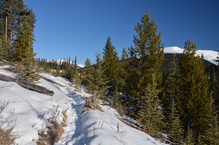
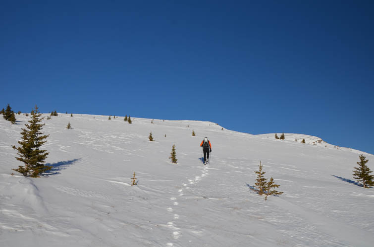
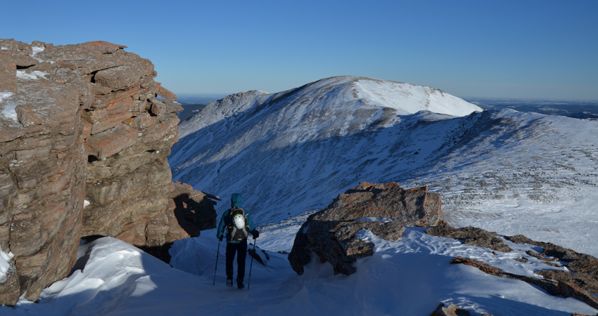
There is a short, unnamed trail section that goes up the lower forested slopes of Willson Peak just east of Cut Block Trail as shown on maps that have been posted at various points in the area. We tried to find this unnamed trail after crossing the creek and passing by sign #9, but without success. Instead, we ended up bushwhacking through lots of deadfall which only disappeared about half-way up the forested slope, costing us a ton of energy and frustration. Near timberline, just when we thought our long exhausting approach was finally over, knee-deep snow tested our patience one last time as we slowly slogged our way onto the broad open slopes. Firm rock and grass underneath our boots at last!
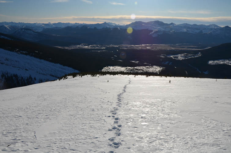
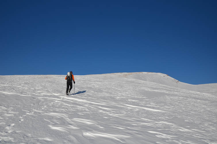
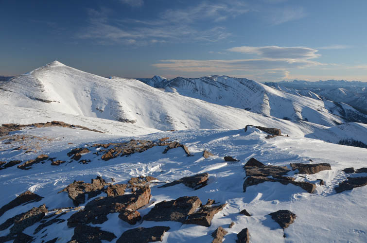
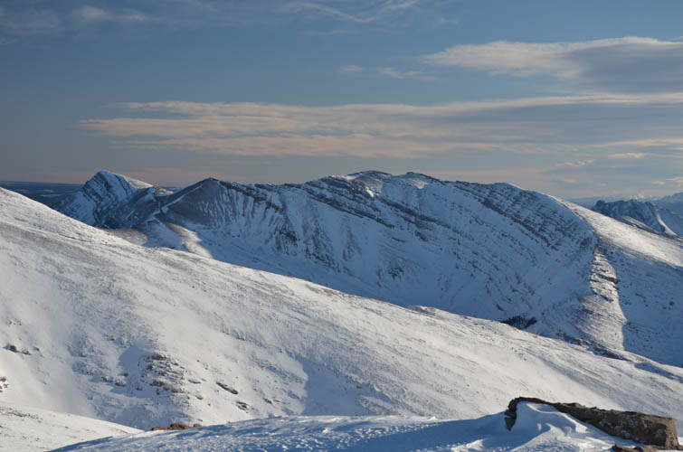
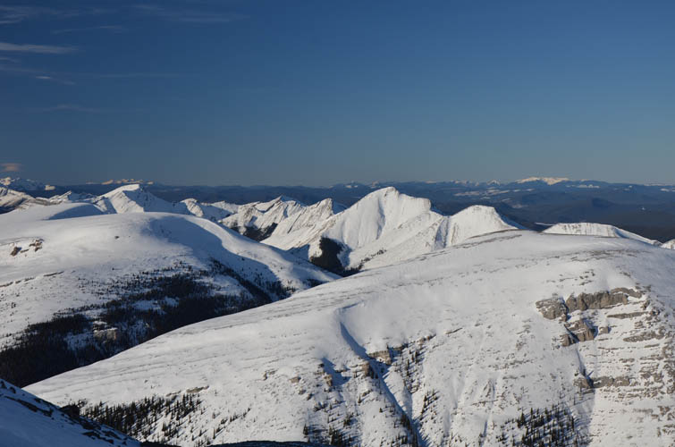
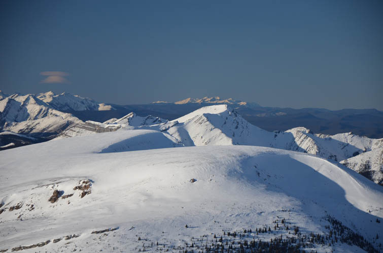
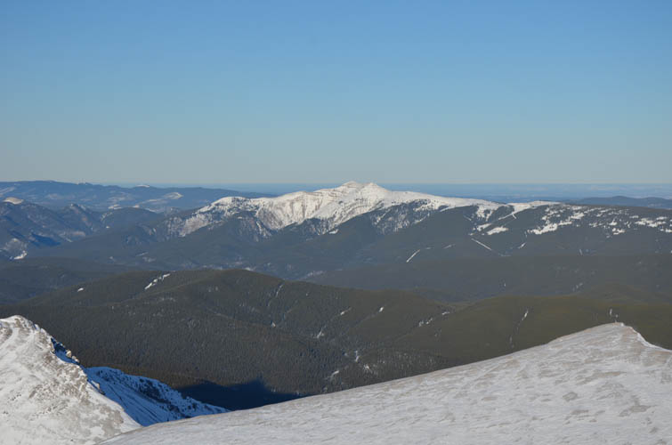
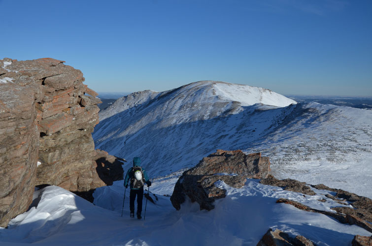
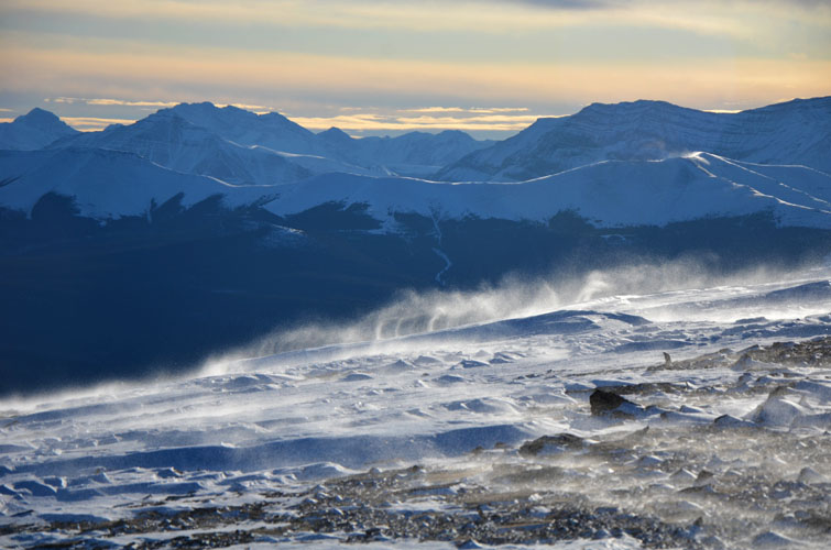
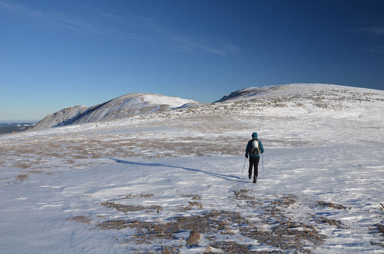
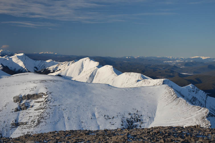
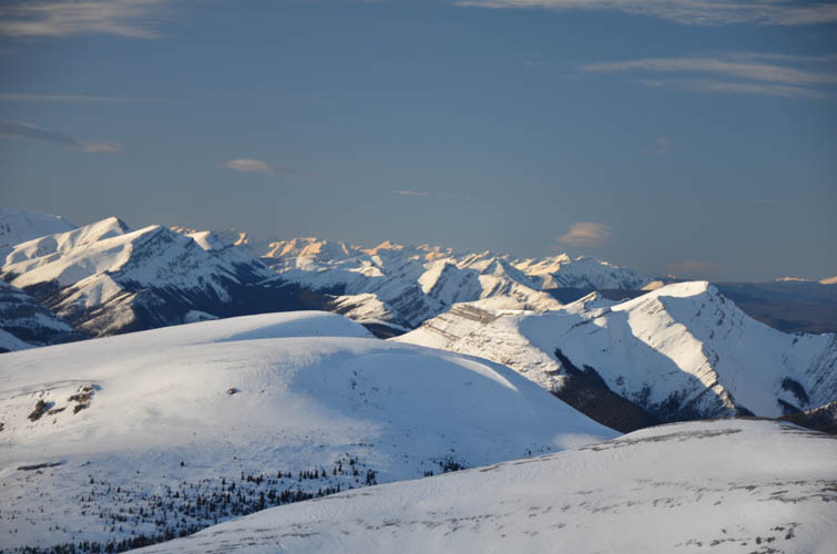
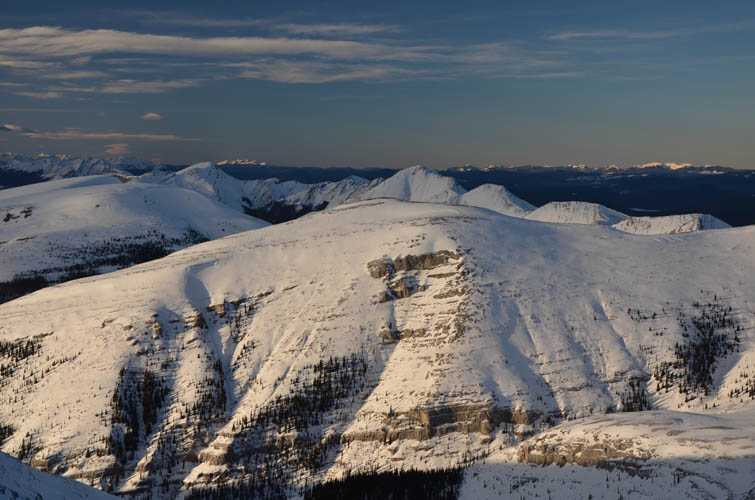
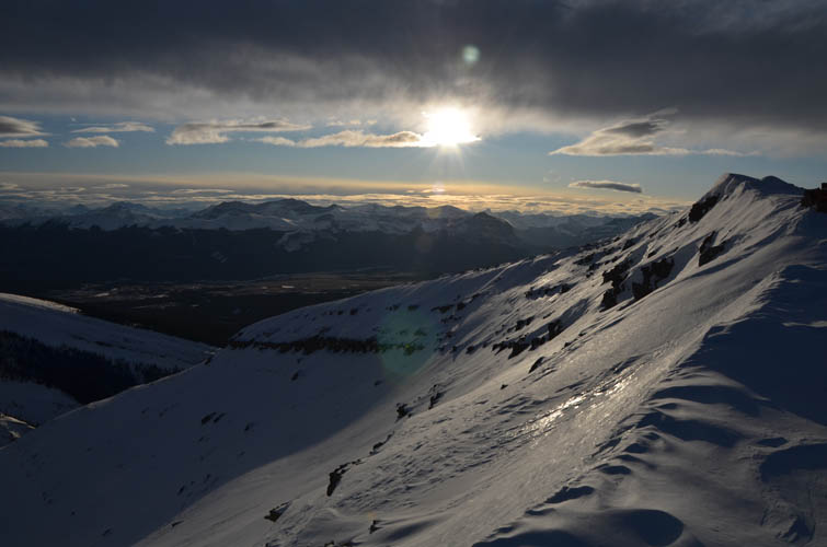
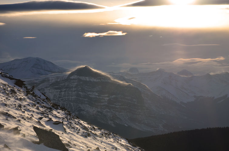
It was uncomfortably cold and an incessant wind was chilling us to the bone, but at least we were now taking in the pleasure of the final summit walk. The reward for our toils were absolutely beautiful views of a sea of snow-covered peaks and ridges all around us, plus a small flock of bighorn sheep grazing on the ridge between Evangeline Peak and our objective. The wide open west slopes narrow to a rounded ridge and a small cairned summit, which is slightly lower than the true summit a couple hundred metres further east. It’s a lovely ridgewalk, all easy hiking with no scrambling involved at all.
There was nowhere to hide from the strong winds at the main summit, so instead of enjoying a well-deserved lunchbreak we hastily snapped a few pictures and headed back. Plans for traversing to the rounded bump just north of the summit were quickly abandoned as we knew very well how much effort still lay ahead for us just to get back home. We made one small change to our return route, which turned out to be both a blessing and a bit of a curse. Instead of regaining the westerly sub-summit, we contoured around it on the right (north) side, then headed down open slopes and forest to link up with Cut Block Trail in the valley. Pockets of deep, unsupportive snow with angular chunks of rock underneath made us regret that decision – at least temporarily, because the forest lower down had very little deadfall and was much easier to traverse than on our way up. Finally something that worked in our favour!
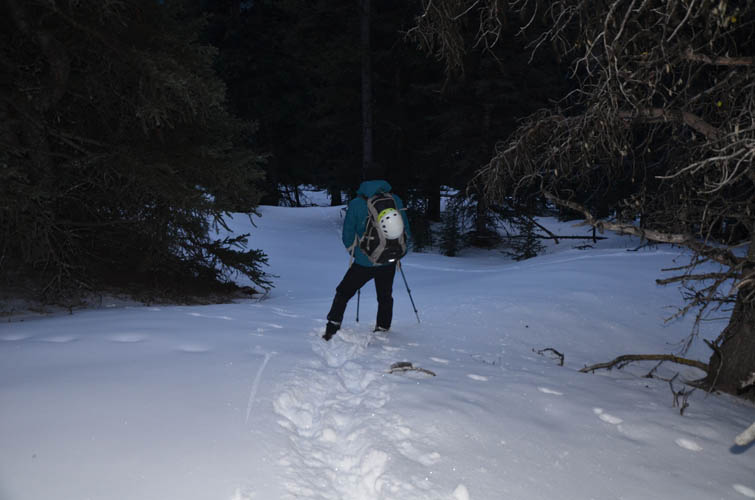
Wind-battered and tired from all the snow plunging, we reached Cut Block Trail just in time before the remaining daylight had faded away. There was still some tedious plodding through fresh snow along Cut Block Trail (thanks to Phil for breaking most of the trail!) until we eventually reached our tracks from earlier in the day. Now it was simply about putting one foot in front of the other to trudge back in the wobbly shine of our headlamps.
A long and exhausting slog, but also a gorgeous winter day with fantastic views of a pristine part of the Rockies. No doubt this peak also makes for a great summer objective and can readily be combined with Evangeline Peak.
Note: In order to avoid unnecessary bushwhacking through deadfall, the best option is probably to take our descent line or to head straight up the forest from any of the cut blocks instead of following our ascent route.
For a detailed map of the area, including all existing trails and many possible scramble routes, see the Ya Ha Tinda & Surroundings Trail Map on Avenza (a free mapping app for offline navigation and tracking). The map is also available in print at MapTown or GearTrade.
|
Elevation: |
2530 m (my GPS) |
|
Elevation gain: |
1200 m |
|
Time: |
10.0 h |
|
Distance: |
23.3 km |
|
Difficulty level: |
Easy (Kane), T3 (SAC) |
|
Reference: |
Own route finding |
|
Personal rating: |
3 (out of 5) |
NOTE: This GPX track is for personal use only. Commercial use/re-use or publication of this track on printed or digital media including but not limited to platforms, apps and websites such as AllTrails, Gaia, and OSM, requires written permission.
DISCLAIMER: Use at your own risk for general guidance only! Do not follow this GPX track blindly but use your own judgement in assessing terrain and choosing the safest route. Please read the full disclaimer here.