Ya Ha Tinda, AB, Canada
18 July 2020
Solo
Exploring Ya Ha Tinda’s beautiful NE corner
I was so excited about this trip that I couldn’t fall asleep the night before in my campervan at Bighorn Campground. To save time and get an earlier start, I had driven out from Calgary on Friday evening already. Both Eagle Campground and Bighorn Campground were almost full, occupied mostly by horse riders who were out to enjoy a beautiful summer weekend at Ya Ha Tinda. The area boasts numerous excellent equestrian trails, both for short day rides and for longer overnight trips into the backcountry.
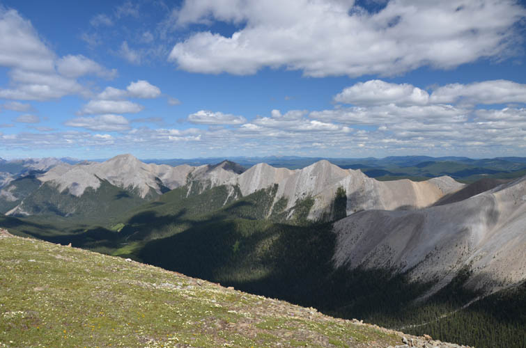
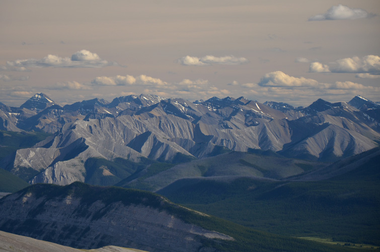
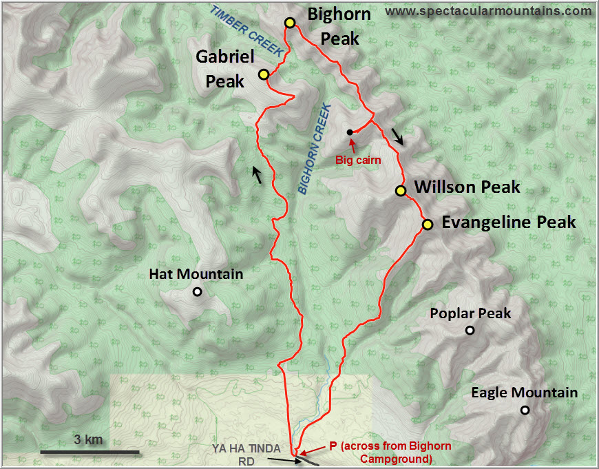
The long ridge extending NNW from Eagle Mountain and Evangeline Peak that forms the eastern limit of the Front Ranges has interested me for a long time. I’ve always toyed with the idea of a long day-hike up Bighorn Creek, where a rough trail exists, then back along the many ups and downs of this beautiful ridge. Some preliminary scoping from Scalp Peak back in 2016 seemed to suggest that it would be a relatively easy ridge walk, albeit one with a ton of elevation gain. After doing some more research on satellite pictures I settled on a plan to follow horse trails to Gabriel Peak on the west side first, then cross Timber Creek to the north in order to gain the ridge at a major high point, and finally follow the ridge back to Evangeline and descend from there.
Everything worked out as I had hoped for, except for one not-so-minor detail: access to water. When I set out in the morning I had about 3 litres in my camel bag, plus about 700 ml in my energy drink. Enough to get me to Timber Creek where I could fill up, so I thought…
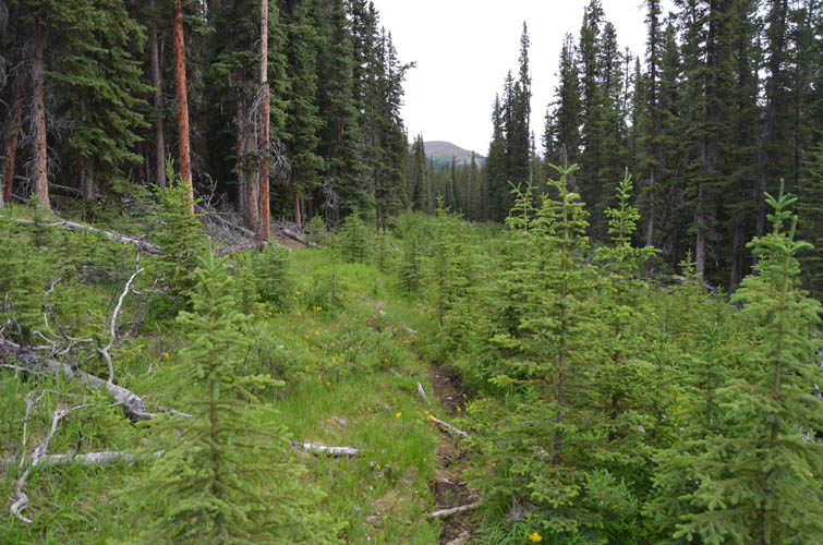
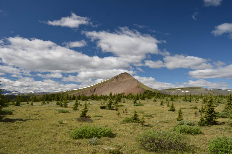
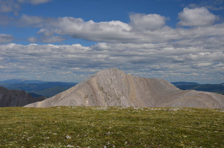
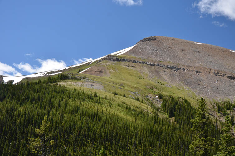
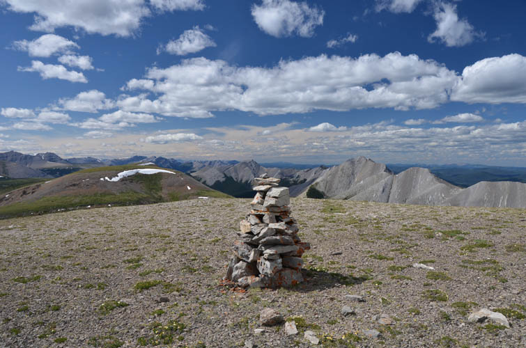
I made good progress on the various horse trails that took me across several cutblocks and a long stretch of forest to the broad saddle between Gabriel Peak and Hat Mountain. Here, the trail fizzles out so I hiked straight up the wide-open grassy south side of Gabriel to the top. “Peak” is perhaps a bit too presumptuous a name for this minor highpoint (I found the name on bivouac.com; the local name may differ), but the two rounded summits are nevertheless cairned and apparently visited by horse riders from time to time. According to my GPS the western summit is a few metres higher than the eastern summit, so the register should perhaps be moved to the higher point.
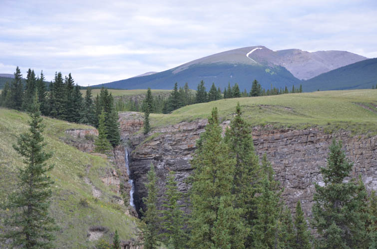
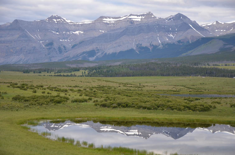
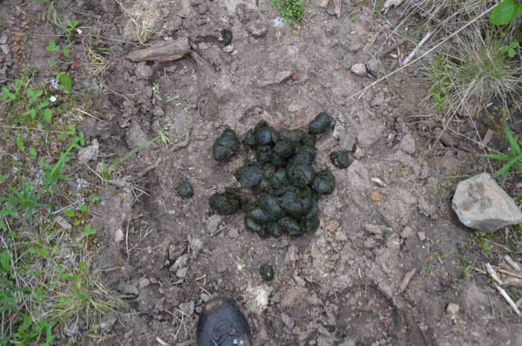
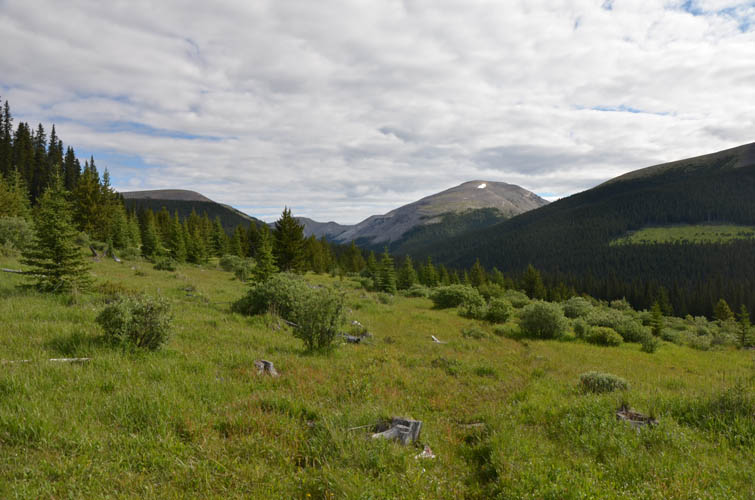
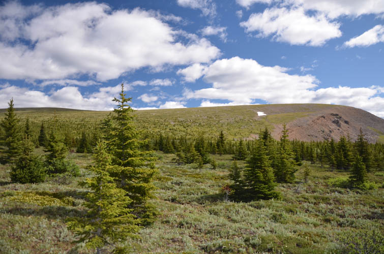
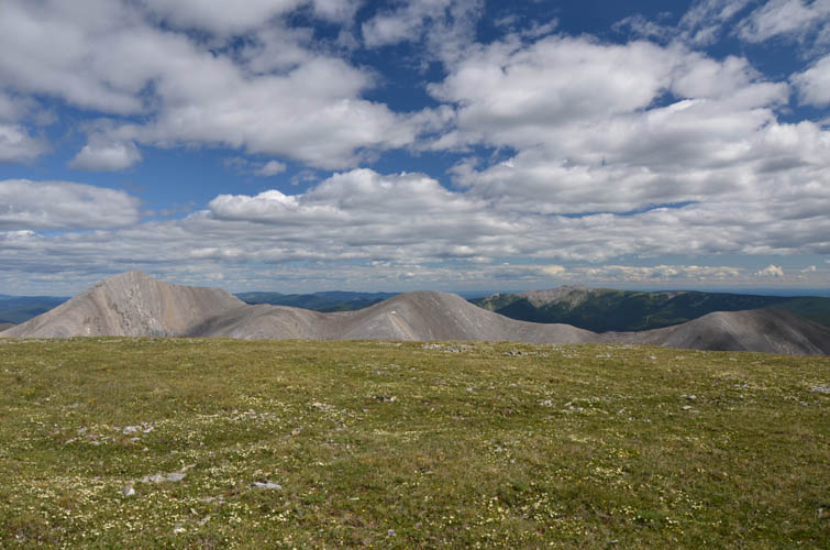
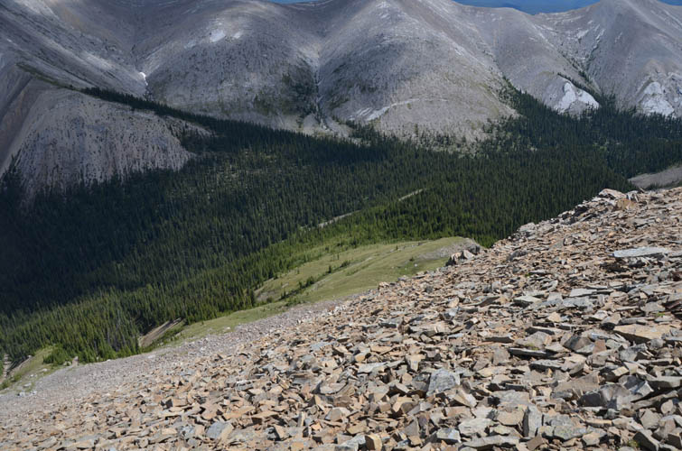
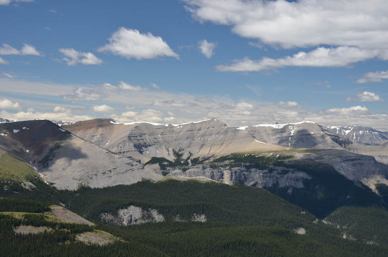
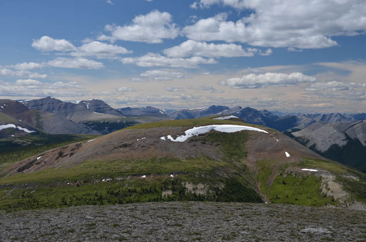
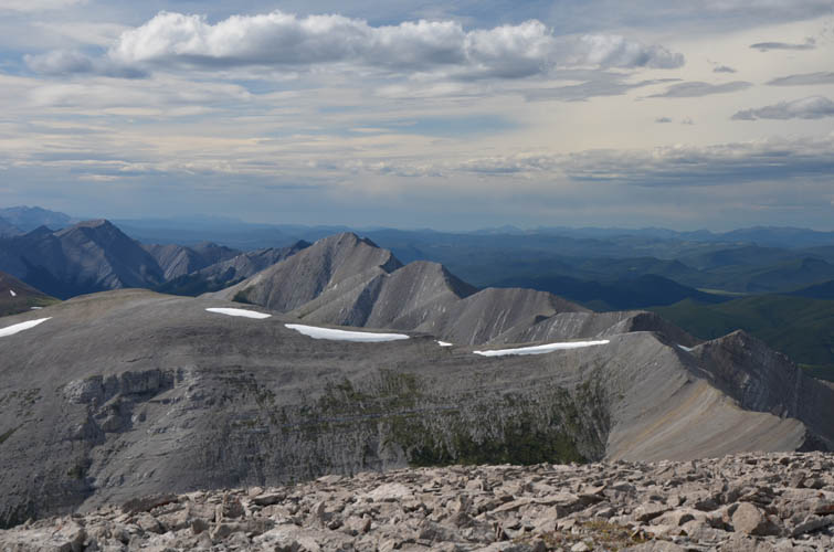
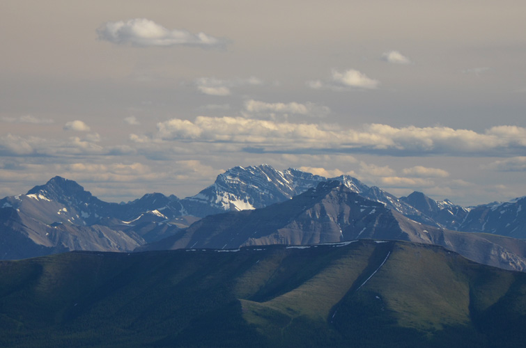
The landscape around Gabriel Peak is extraordinarily gentle and typical for the area. Here, one can easily see how the name “Ya Ha Tinda”, Stoney for “prairie in the mountains”, came about. Rolling hills covered in grass, wildflowers and light forest, surrounded by the mellow, orange-colored ridges of Hat Mountain and Scalp Peak on one side, and by steep, light-grey limestone slabs of the Bighorn Ridge on the other. On a hot summer day like today this is the perfect place to lay down in the grass, take a nap, and forget about time…
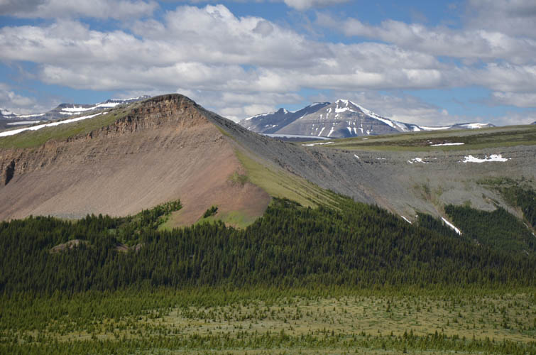
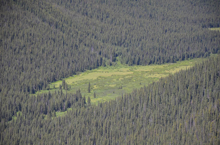
My break was short given that I still had most of my journey ahead of me. From Gabriel’s west summit I descended on easy rock, grass and light forest down the north side into the valley of Timber Creek where I was looking forward to filling up and splashing my sweat-covered face with some cold water. To my disappointment, the creek barely held any water; it was just a muddy mess! I guess I must’ve been too close to the watershed between Timber Creek and Bighorn Creek that is located a bit higher up to the southeast. I only had 2 litres left in my camel bag and had no choice but to ration it from now on for the rest of the day.
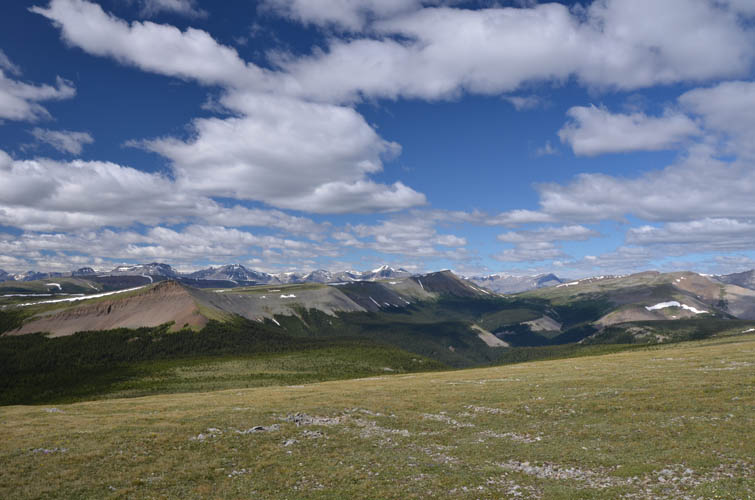
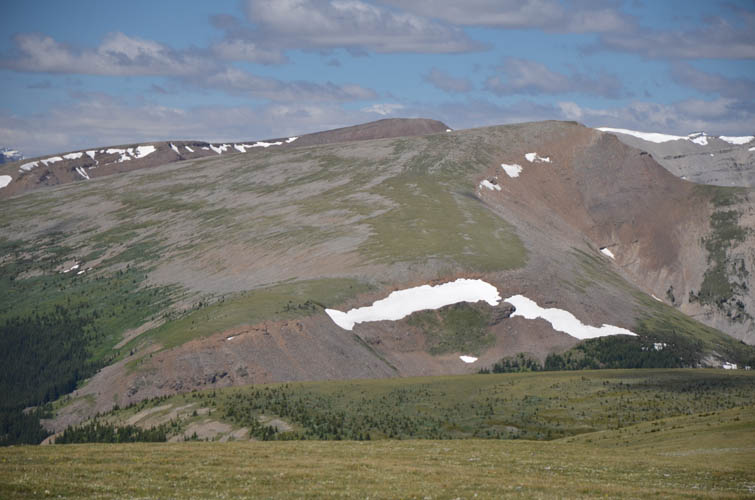
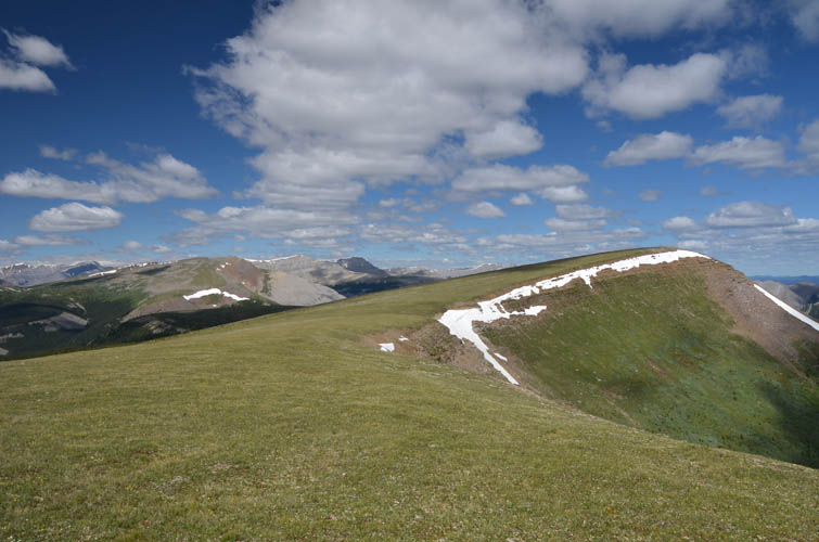
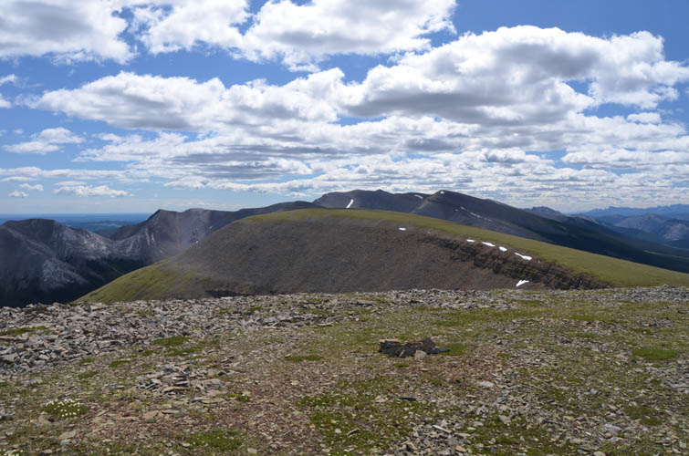
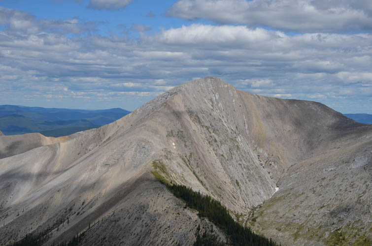
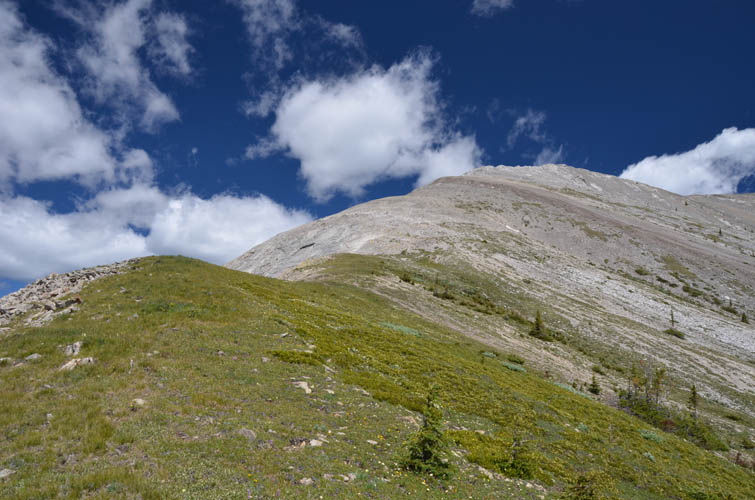
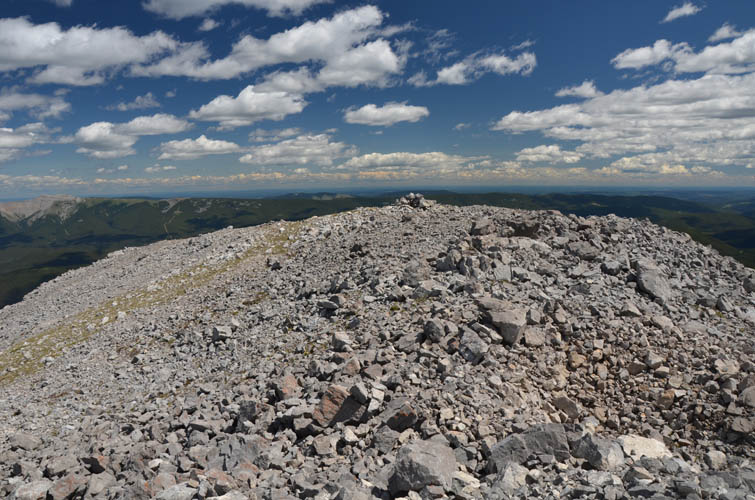
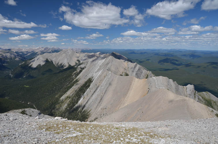
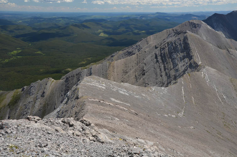
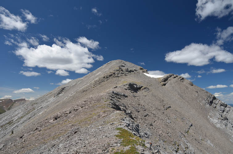
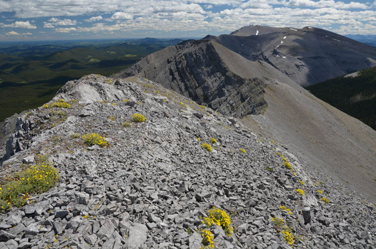
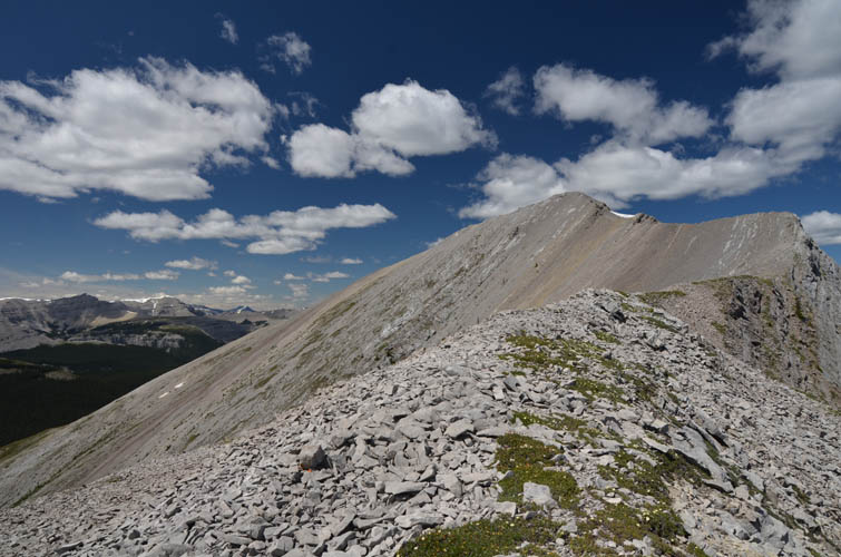
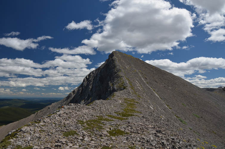
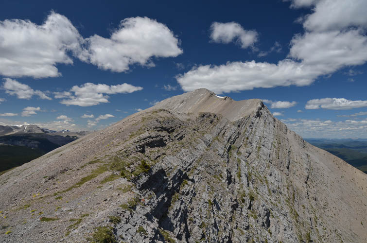
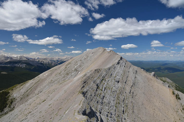
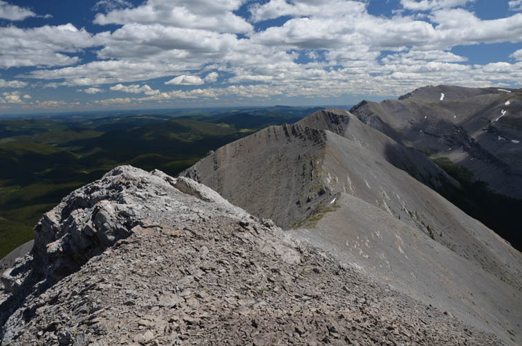
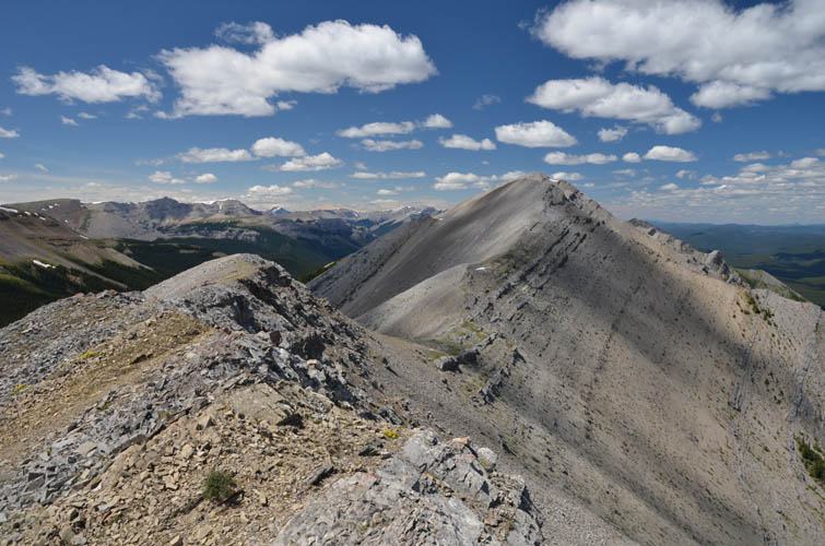
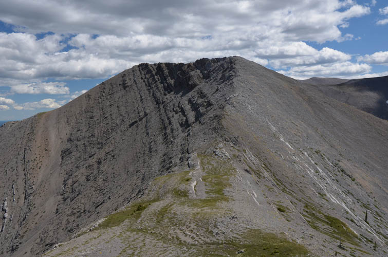
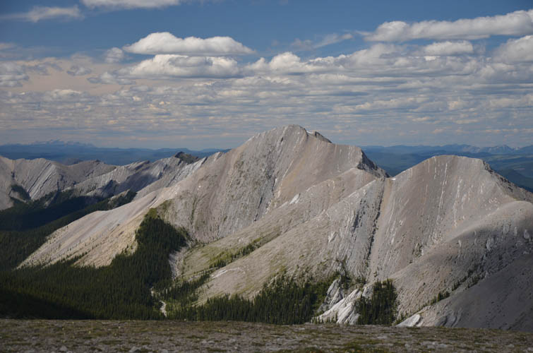
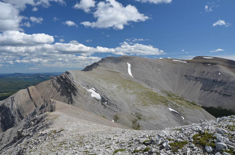
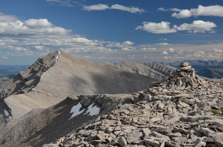
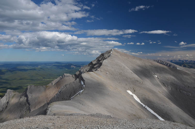
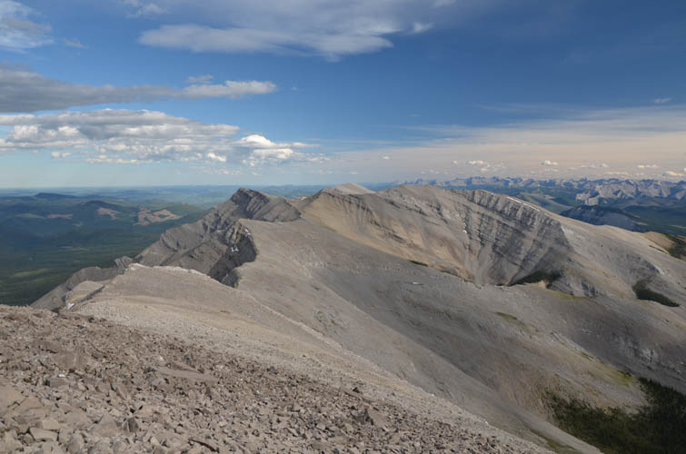
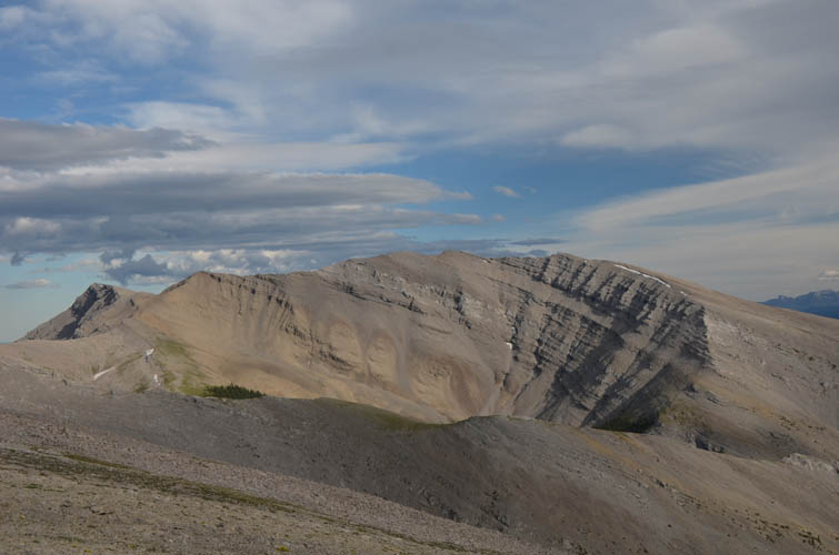
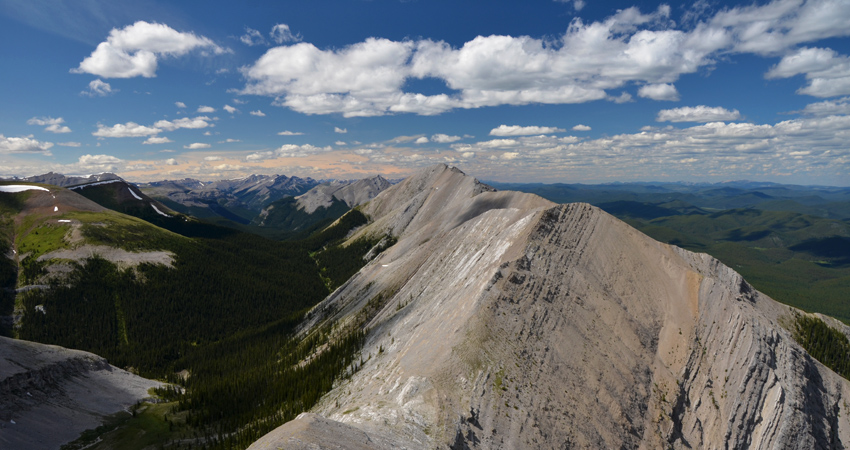
While the first peak I was trying to climb on the ridge looked quite impressive from afar, it turned out to be very straightforward and just a walk up via its south ridge. “Bighorn Peak” is one of the highest along the northern part of the ridge and even sports an old, weathered cairn at the summit. After a short break I turned my eyes on the next 10 km: ahead of me, in a southeasterly direction, was a beautiful zig-zag ridgeline of mostly solid grey limestone with seven or eight high points along the way. No serious difficulties presented themselves on the entire traverse; in fact I’d describe 90% of it as a hike and easy scrambling, with a little bit of moderate scrambling thrown in here and there. All of it very enjoyable and in pristine surroundings, with no sign of any human activity up here. I didn’t even see any cairns on top of the other high points until I got to the broad bump northwest of Willson Peak. There’s a surprisingly large cairn sitting on the flat summit area of that bump, which required a small detour from the main ridge line. I’m not sure if it’s been locally named, but in my opinion it is too small to warrant a separate name and there are too many of these little bumps and minor high points anyway.
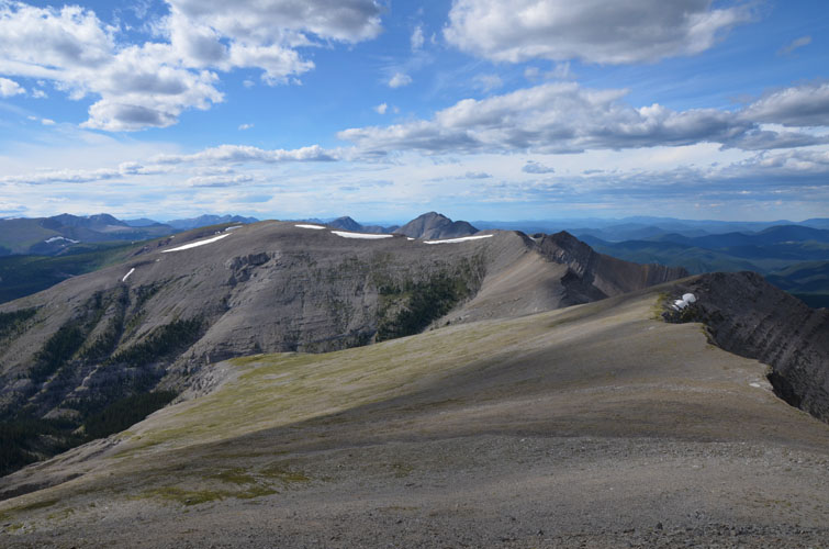
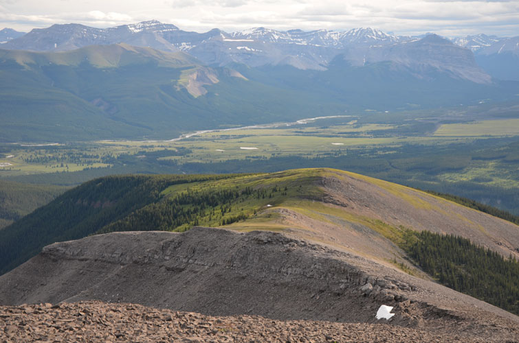
After backtracking to the main ridge I continued south through another significant saddle and back up to the summit of Willson Peak, which Phil and I had climbed as a long winter day trip about half a year ago. The connecting ridge to Evangline Peak was also unproblematic, but I was certainly feeling my legs by now when I was trudging up the slope to this last summit of the day. Evangeline Peak makes for a fine objective on its own, or if combined with Poplar Peak (Rum Ridge) to the south (see my report from 2016 and also Vern’s trip from 2014). You could even continue along the ridge all the way to the end at Eagle Mountain.
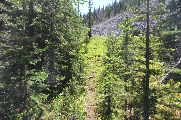
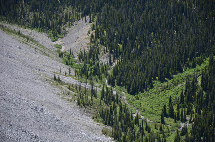
I was quite tired by the time I began hiking down the long, open SW ridge of Evangeline Peak, yet I was also still excited about having enjoyed a brilliant day on such a beautiful ridge. With the adrenaline still pumping I had no difficulties finding my way through the lower forested slopes to the open cutblocks, which eventually link up with a good horse trail that leads back to the parking lot. After 14 hours of fantastic exploring and adventure I got back to my car, exhausted but full of happiness. A long and very rewarding day.
|
Elevation: |
Gabriel Peak: 2390 m |
|
|
Bighorn Peak: 2425 m |
|
|
Willson Peak: 2530 m |
|
|
Evangeline Peak: 2572 m |
|
Elevation gain: |
2450 m |
|
Time: |
14.0 h |
|
Distance: |
36.5 km |
|
Difficulty level: |
Easy to moderate (Kane), T2/T3 (SAC) |
|
Reference: |
Own routefinding |
|
Personal rating: |
5 (out of 5) |