Ya Ha Tinda, Canada
26 February 2016
Solo
A fantastic ridgewalk at Ya Ha Tinda
Since Vern and Steven published their trip reports on Evangeline and Poplar (Rum Ridge), many people have followed in their footsteps to do this fabulous outing, including myself. And for good reason – in my opinion this is a hugely enjoyable trip that combines easy access, pleasant ridge hiking and some fun, hands-on scrambling all in one.
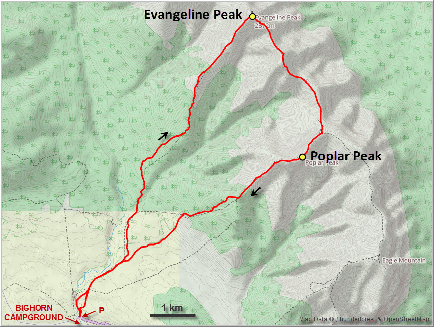
The only deterrent that still keeps the masses away is the long drive from Calgary, including a gravel road for the last 30 km (best route is via Sundre). The trailhead is at the small parking lot across from the Bighorn Campground, where a number of tracks, mostly horse and wagon trails, spread out in all directions.
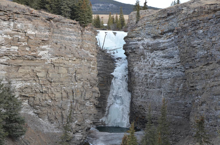
It was a chilly February weekday and I didn’t expect anyone else to be around, but there was indeed another car in the parking lot when I started off in the morning. The route is easy to follow, nonetheless a GPS track is useful since there are no signs or trail markers. I hiked past the frozen Bighorn waterfalls, which is definitely worth a glance, across open meadows and into the forest that blankets the lower part of Evangeline’s southwest ridge. Here, I left the established trail and simply headed up through light forest, making use of clearings wherever possible. There’s hardly any bushwhacking and the approach is pretty efficient.
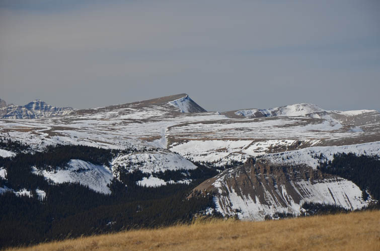
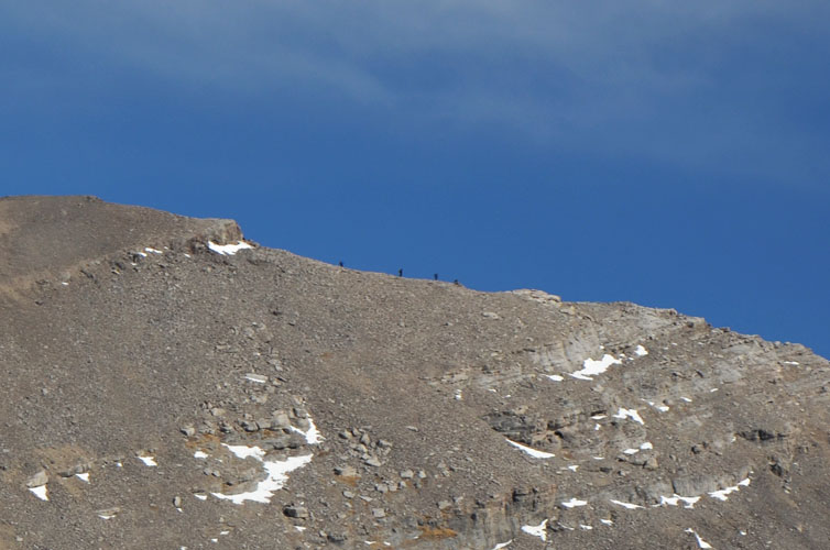
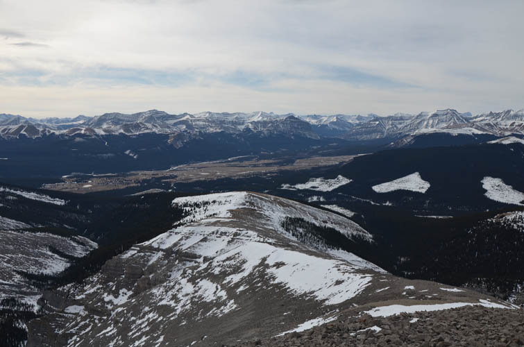
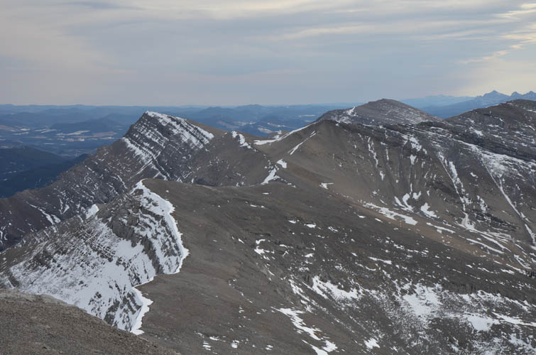
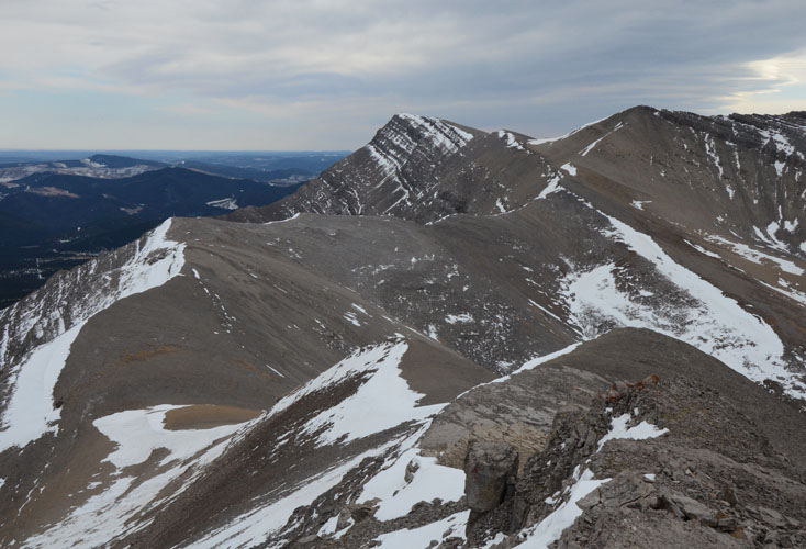
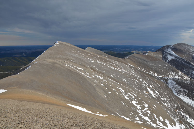
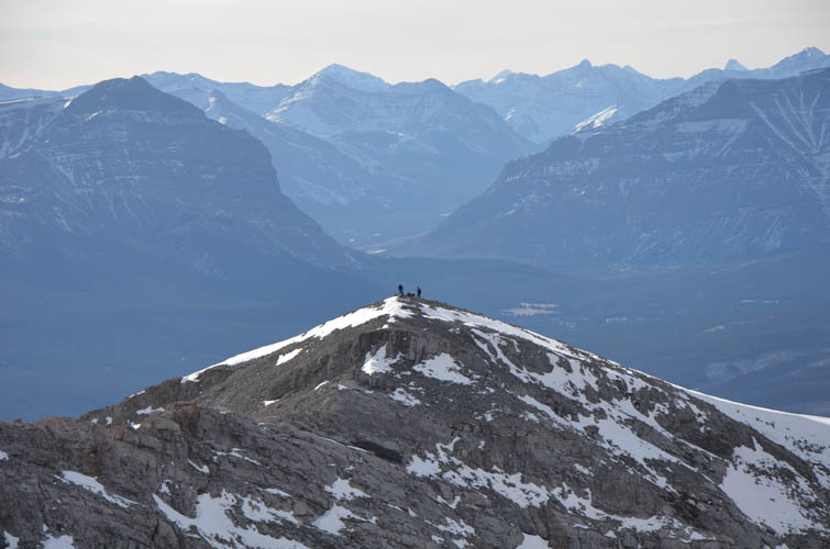
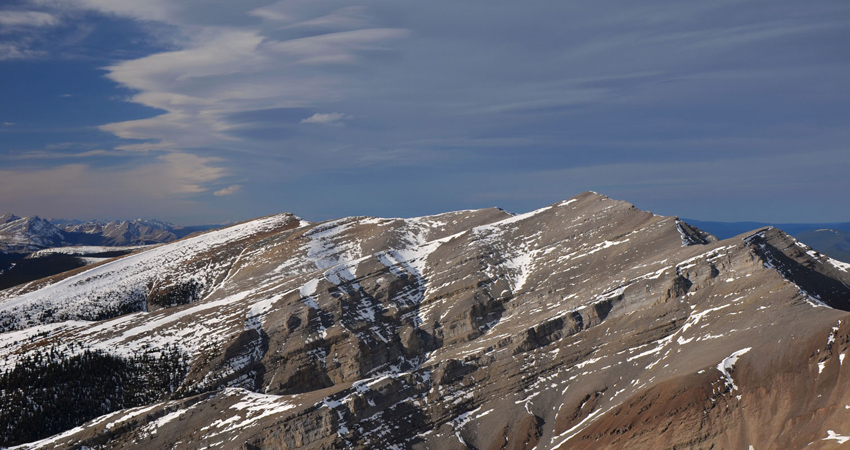
A stiff breeze greeted me as soon as I left the last trees behind me, and the unrelenting winds that are so common here in the Front Ranges would now follow me for almost the rest of the day. But it didn’t matter – the best part of my trip was about to begin: several hours of hiking and scrambling the ups and downs of a beautiful ridge, with nothing but solid rock ahead of me! Once out of the forest, the ridge broadens and then gently rises to the summit of Evangeline Peak. Looking up at the long ridge connecting Evangeline with Poplar, I spotted several tiny dots on the horizon that seemed to be moving… a group of hikers perhaps, or maybe some mountain goats?
The small notebook kept in a box at the summit cairn of Evangeline Peak gave me the answer: indeed some fellow adventurers, including prolific climbers Doug and Connor who are well-known in the mountain community. The “stiff breeze” had now turned into a very uncomfortable strong wind at the summit, so I hastily wolfed down a granola bar and continued without further delay.
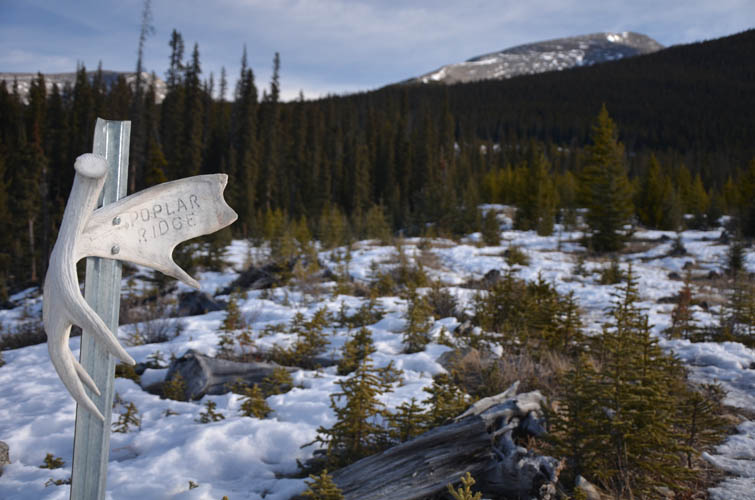
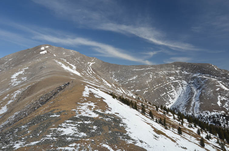
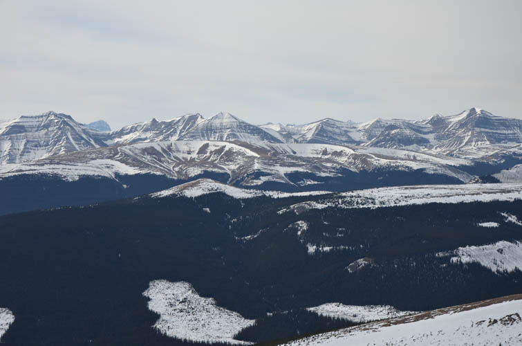
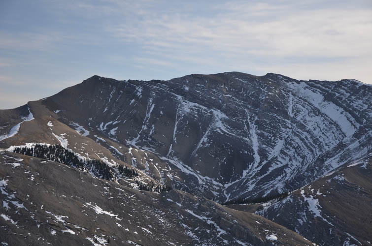
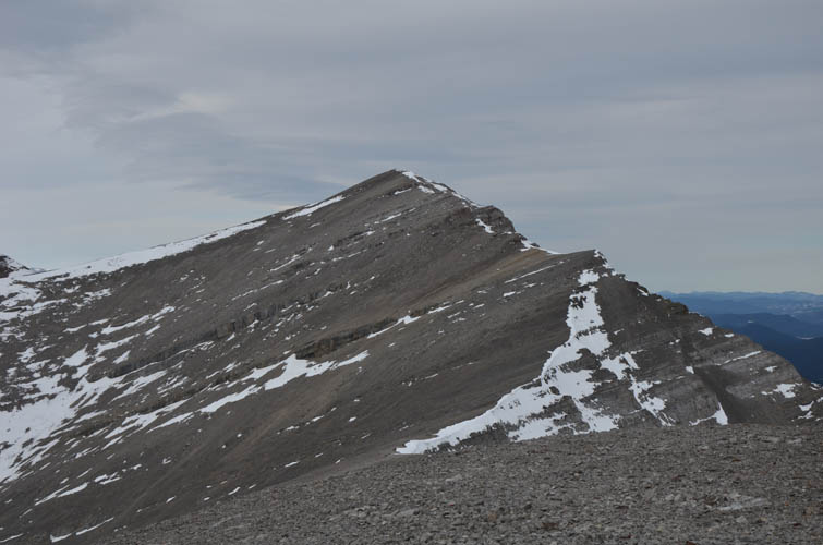
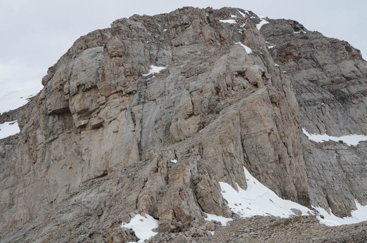
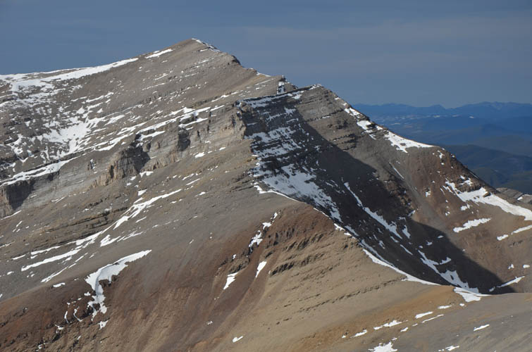
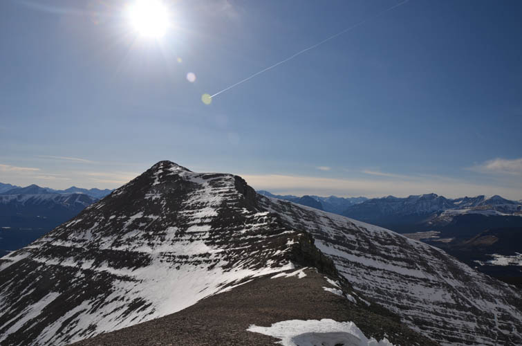
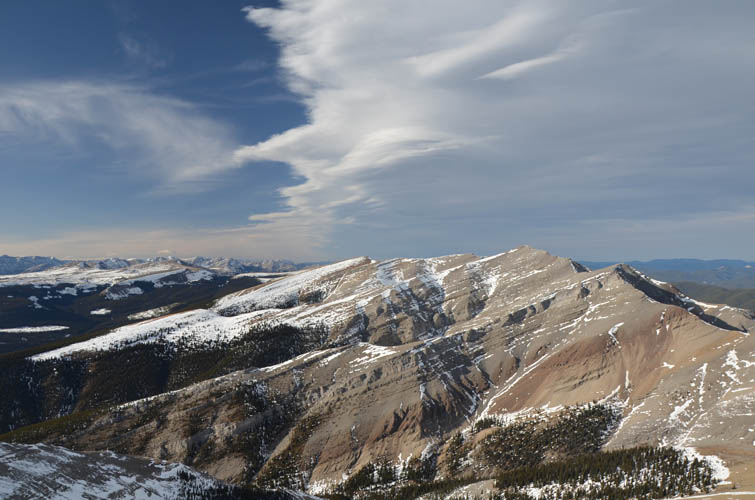
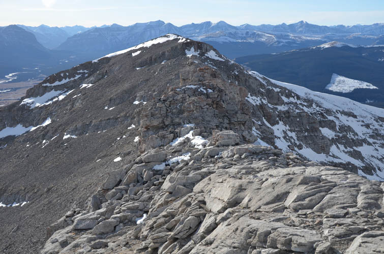
Overall, the majority of this ridgewalk is pretty easy in terms of technical difficulty. There is one particular cliff band on the connecting ridge, however, that can be tricky if icy or covered in snow. Thankfully, the rock was mostly bone dry today and a delight to scramble down. Strong gusts of wind were whipping me around as I plodded along the open ridge to the high point between the two peaks. The wind really took a lot of energy out of me and I decided to sit down and rest for a while once I reached the double summit of Poplar Ridge. Interestingly, this ridge is variously referred to as Poplar Ridge and Rum Ridge in different sources and on the official Ya Ha Tinda ranch map, so I assume they mean the same thing.
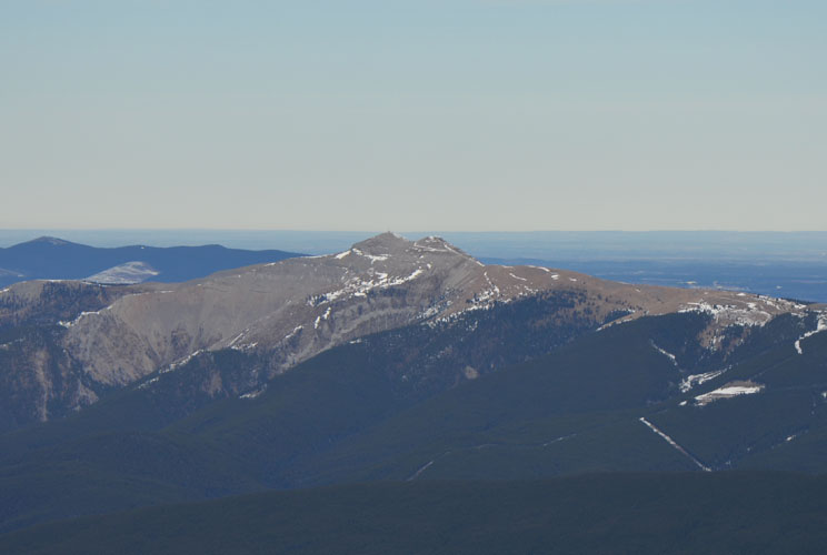
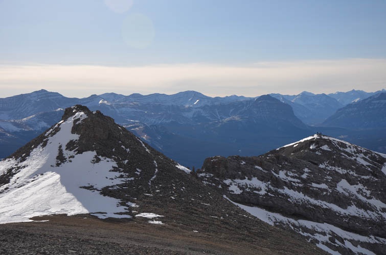
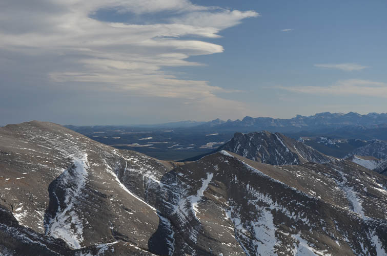
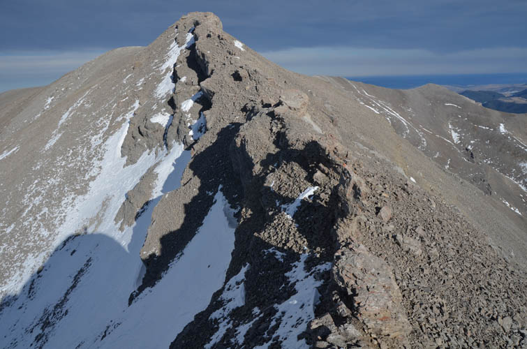
Following the crest of Poplar Peak’s west ridge was the second stretch of fun scrambling today. Some people have called this section a “dragon’s back” because of the jagged nature of this narrow rock spine. Exposure isn’t too bad and I really enjoyed climbing up and down the various outcrops on this ridge.
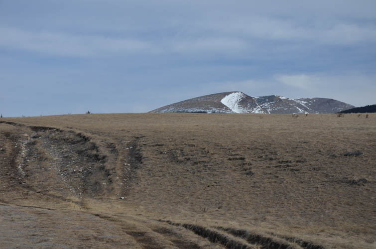
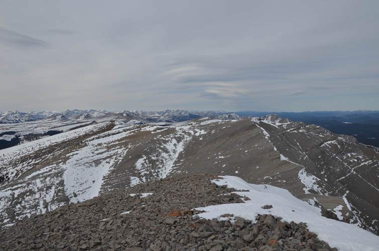
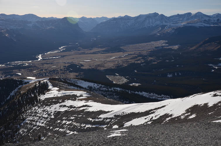
An elegant way off the mountain is to follow the ridge as it swings around to the SW, and then cut across a short section of light forest to reach the open meadows of the Ya Ha Tinda plains again. There’s no trail here of course and lots of route options are possible, all fairly straightforward without any major obstacles in the way.
Back at the car I finally ran into my fellow scramblers whom I’d been following all day. It was really nice to chat with them about the trip we had just completed and we all agreed that Evangeline and Poplar make for a thoroughly enjoyable outing, especially in off-season. Highly recommended!
|
Elevation: |
Evangeline: 2572 m (my GPS) |
|
|
Poplar: 2525 m (my GPS) |
|
Elevation gain: |
1560 m |
|
Time: |
8 h |
|
Distance: |
21.0 km |
|
Difficulty level: |
Evangeline via SW ridge: Easy hike (Kane), T3 (SAC) |
|
|
Traverse & Poplar Peak: Mostly moderate, perhaps a few difficult steps; T4/T5 |
|
Reference: |
|
|
Personal rating: |
4 (out of 5) |
NOTE: This GPX track is for personal use only. Commercial use/re-use or publication of this track on printed or digital media including but not limited to platforms, apps and websites such as AllTrails, Gaia, and OSM, requires written permission.
DISCLAIMER: Use at your own risk for general guidance only! Do not follow this GPX track blindly but use your own judgement in assessing terrain and choosing the safest route. Please read the full disclaimer here.