Kananaskis, AB, Canada
9 November 2019
With Richard
Pleasant snowshoeing trip with grand views of the Continental Divide
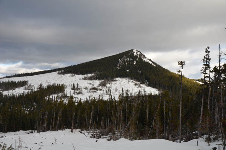
In August, after Wen and I spent a couple of days van camping at Coffin Mountain, we drove back home via highway 940 and I wondered about the small ridge on the west side of the road just south of Raspberry Ridge. It looks quite similar to Raspberry Ridge but doesn’t have a trail at the top and is unnamed on maps. I later found out that local K-country expert Gillean Daffern (author of the Kananaskis Country Trail guidebooks) hiked the ridge in July and calls it Cummings Ridge, while Bob Spirko and Sonny Bou went up in November 2018, with Sonny referring to it as Wilkinson Ridge. I’m not sure which name is more valid as both seem to be good fits, referring to local creeks on the west (Cummings) and east (Wilkinson) side of the ridge. I will stick with Cummings for now since this is also the name of a local snowmobile trail on the south end of the ridge. As an aside: interestingly, the summit elevation actually surpasses Raspberry Ridge by more than 60 m!
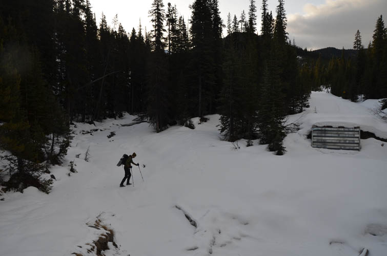
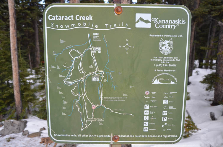
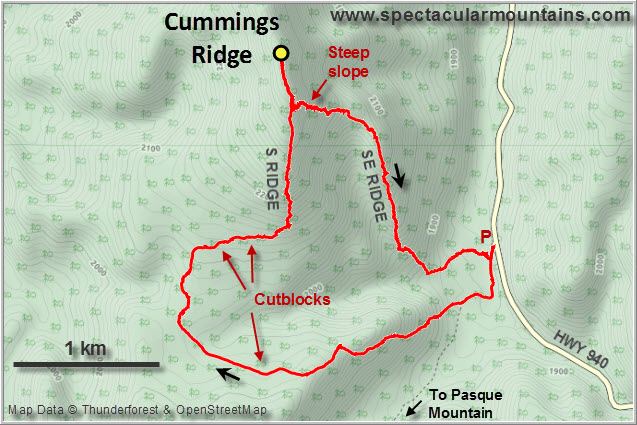
The weather looked absolutely miserable as Richard and I drove out of Calgary that morning – grey clouds and a drizzle changing into dense fog and ice on the roads. Miraculously, as soon as we passed through Highwood Junction, the fog disappeared and the sun greeted us. We parked at the Pasque Mountain trailhead in front of the locked gate.
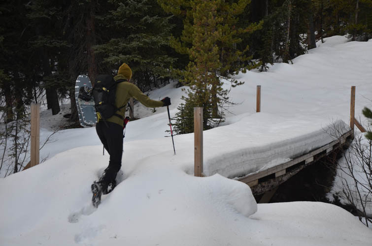
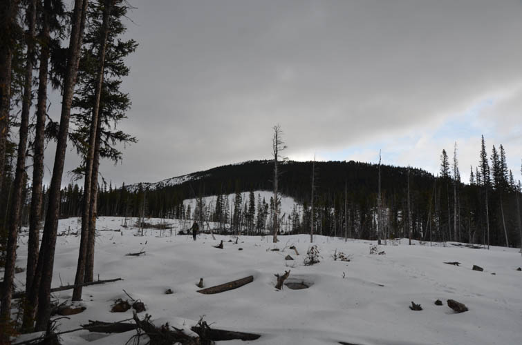
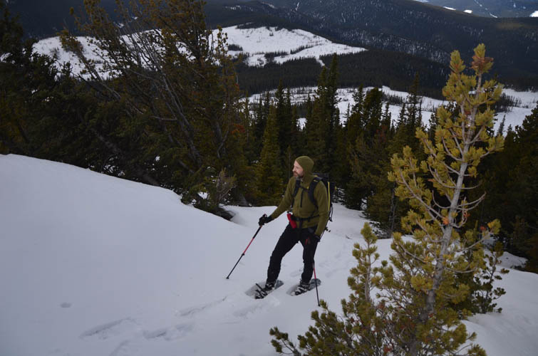
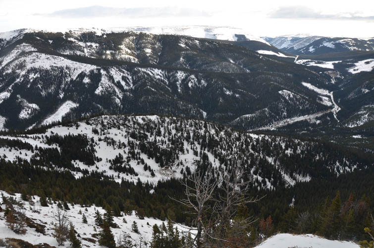
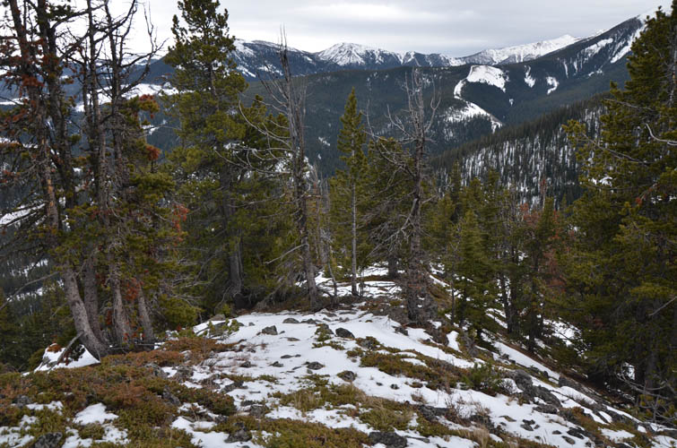
Following the route taken by the parties above, we first crossed Wilkinson Creek on a pretty solid ice bridge (the actual bridge is out) and then stomped our way through shin-deep snow up the surprisingly steep “Pasque Trail”. This is the name of a local snowmobile trail, NOT the trail to Pasque Mountain. Soon the snow got too deep for our liking and we put on our snowshoes. The route flattens out in a large open area of logged trees (cutblocks), loses some elevation, then leaves Pasque Trail on a sharp right turn and enters a wide cutline that takes you to another large logged slope. Excepting occasional pockets of unsupportive snow and hollow “traps” between tree trunks, the going was easy and we made good progress to the edge of the south ridge.
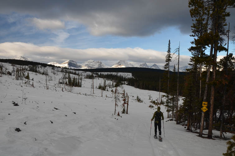
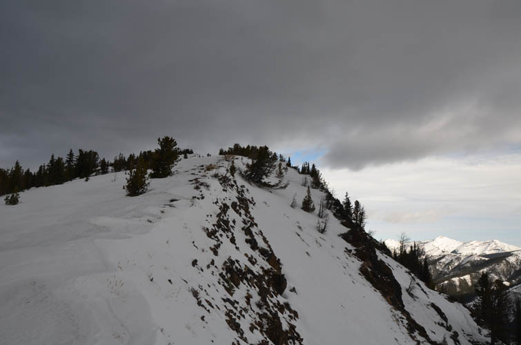
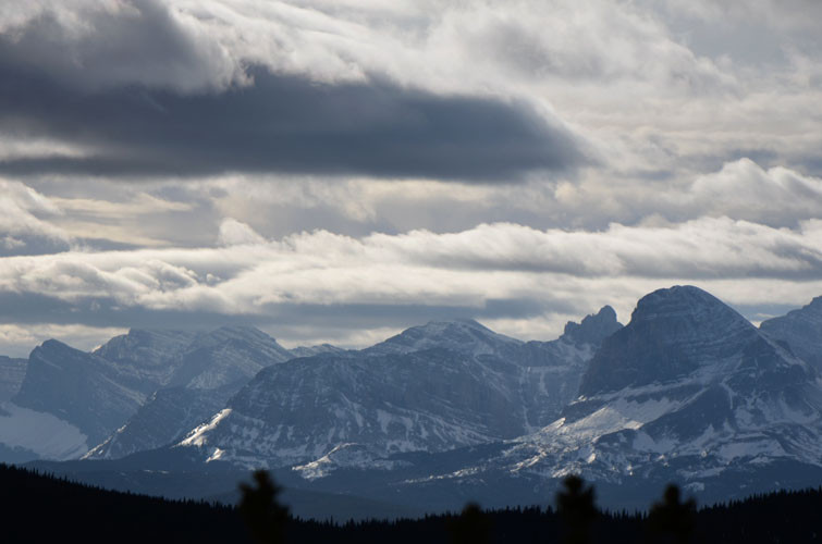
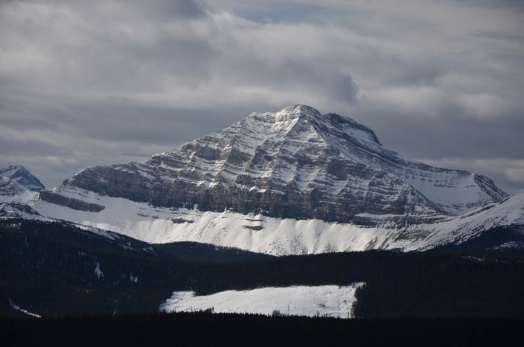
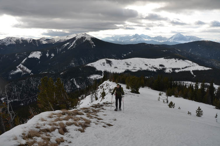
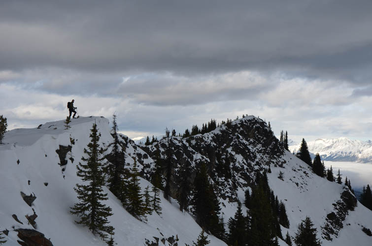
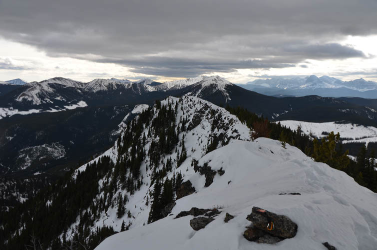
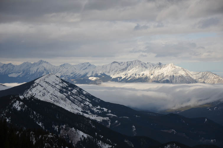
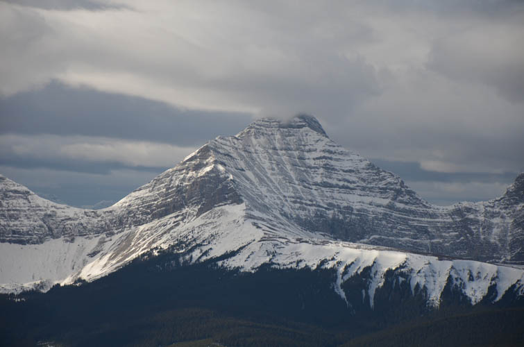
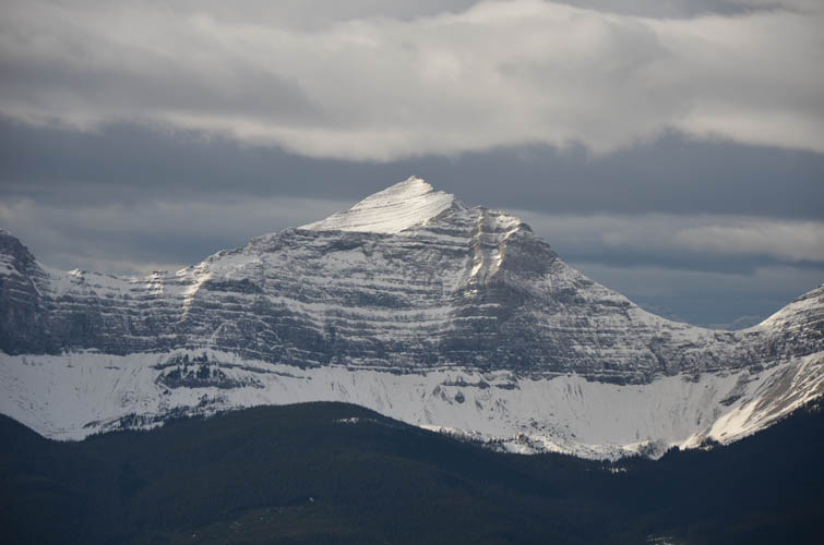
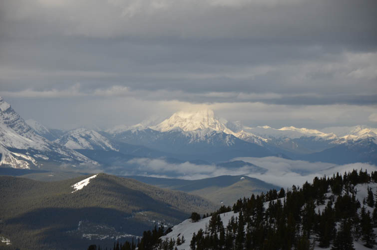
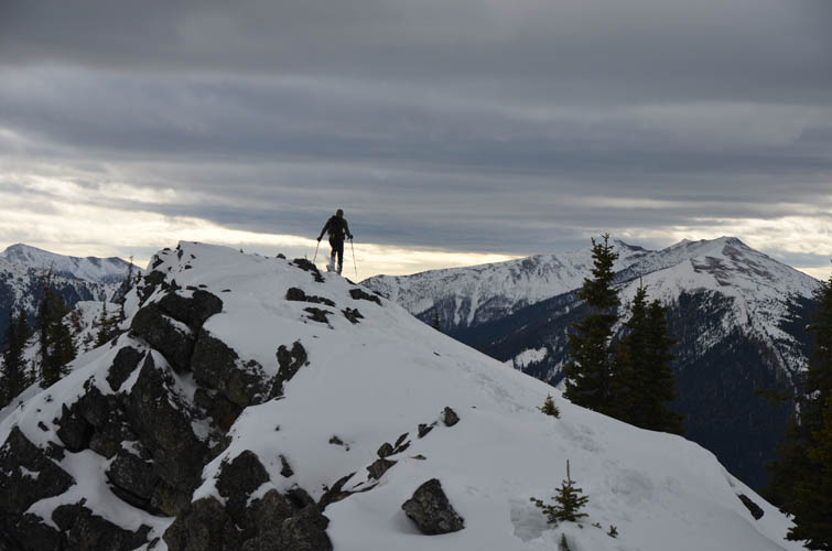
The old coal exploration road mentioned by Daffern was obscured by trees and snow and we didn’t really follow it. Instead, we snowshoed through a short stretch of forest just to the right (east) of a rocky spine, then up a mix of grassy slopes and trees to the open ridge leading to the summit. Considering this is such a relatively minor ridge, the summit ridge “walk” was actually a lot of fun and the views of the big Continental Divide peaks quite memorable. There is nothing standing in the way between here and the High Rock Range to the west and you can see all the way from Tornado Mountain and the Elevators in the south to Mount Armstrong and even Mist Mountain in the north. The dense clouds we had driven through in the early morning were still stuck in the valley at Highwood Junction, covering smaller peaks like Mount Mann and Junction Hill around it. It’s bizarre how different weather conditions can be only one or two valleys over.
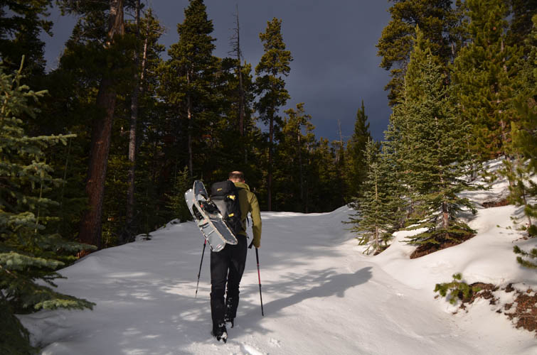
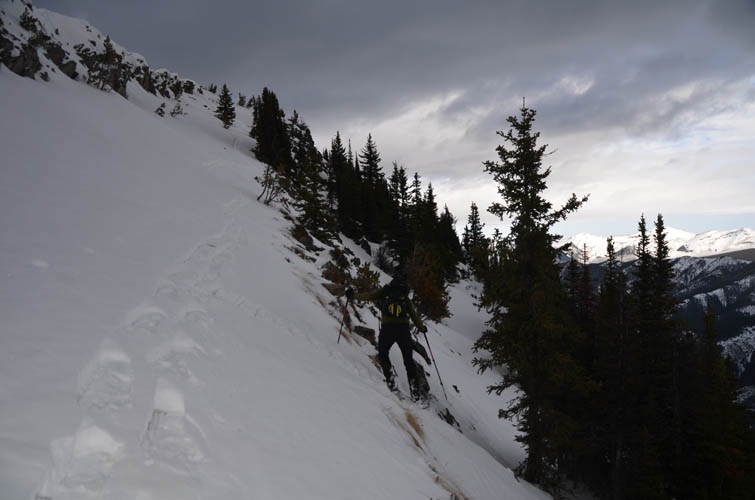
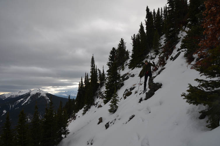
While the ascent route is straightforward and easy, it’s also fairly circuitous. To change things up a bit and do some exploring along the way, we opted to take the SE ridge for the descent. The key was to find a way off the cliffbands on the east side of the summit ridge a few hundred metres south of the summit. The initial slope was very steep (potential avalanche hazard here!) and we had to carefully side-step and zig-zag our way down with our snowshoes before the grade eased off and were were on the SE ridge proper. The treed crest forced us to sidehill around it at the beginning, but later we were able to stick to the ridge top all the way down and back into light forest. There was some mild bushwhacking, and of course the crossing of the iced-up Wilkinson Creek again at the end, but overall we both agreed that it was a pretty good descent route.
We quite enjoyed this little loop, especially as a winter snowshoeing trip when options are limited. It took considerably more time and effort than we had expected because of all the snow – a reminder that what may be a short and easy trip in the summer can be quite a different beast in the winter and should never be taken lightly.
Note: The winter gate at Cataract Creek campground (9 km south of Highwood Junction on highway 940) is closed Dec 1st to Apr 30th.
|
Elevation: |
2411 m (my GPS) |
|
Elevation gain: |
760 m |
|
Time: |
6.5 h |
|
Distance: |
8.5 km |
|
Difficulty level: |
Moderate (Kane), T4 (SAC) in winter conditions, Easy in the summer |
|
Comments: |
Potential risk of avalanches between summit ridge and SE ridge |
|
Reference: |
Daffern & own route finding |
|
Personal rating: |
3 (out of 5) |
NOTE: This GPX track is for personal use only. Commercial use/re-use or publication of this track on printed or digital media including but not limited to platforms, apps and websites such as AllTrails, Gaia, and OSM, requires written permission.
DISCLAIMER: Use at your own risk for general guidance only! Do not follow this GPX track blindly but use your own judgement in assessing terrain and choosing the safest route. Please read the full disclaimer here.