Kananaskis, AB, Canada
20 November 2020
Solo
Fantastic Front Range ridgewalk
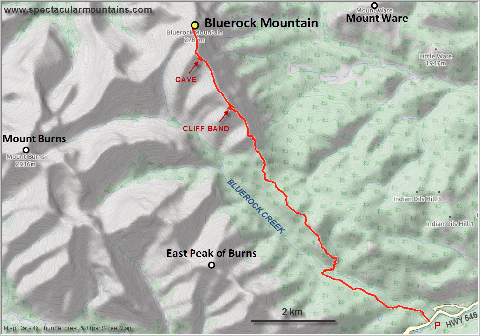
I’ve always thought of Bluerock Mountain as just “some other ridgewalk” in the Front Ranges of Kananaskis, and one that would involve a super long approach. Well, today I found out that I was wrong on both points. Yes, the approach is long but it’s not that bad because all of it is on an excellent trail. And the ridgewalk itself is a delight!
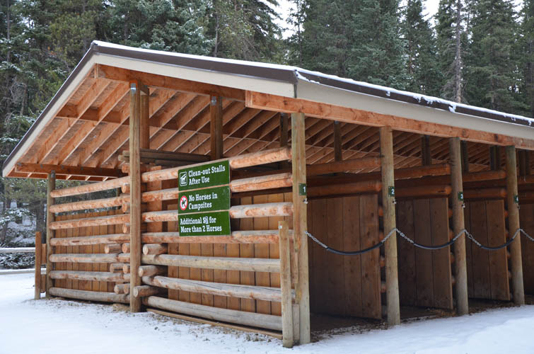
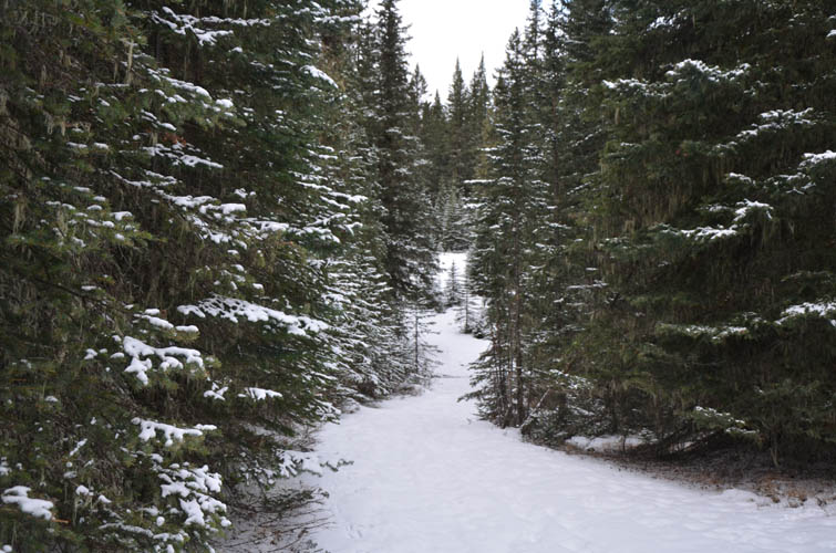
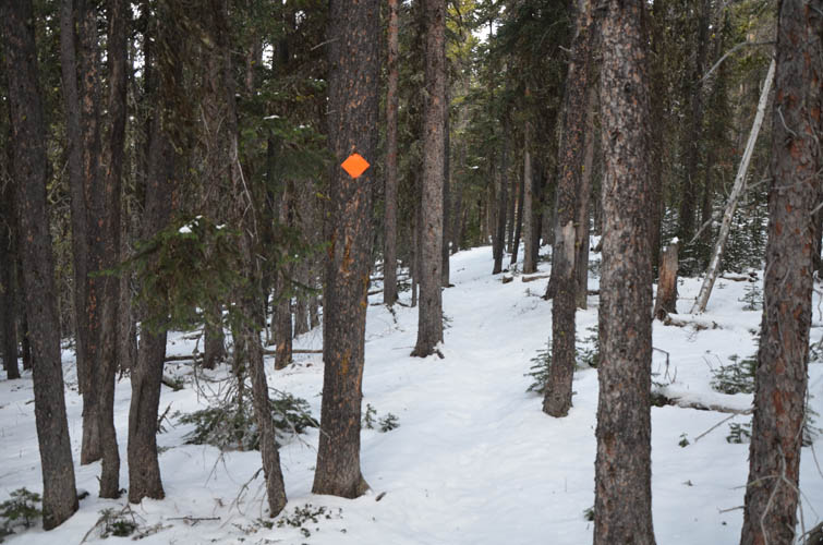
A friendly parks ranger who was passing by in the morning assured me that I was ok to park in front of the locked gate to Bluerock Campground, which was closed for the winter and the whole place was deserted. A layer of fresh snow on the excellent Bluerock Creek Trail didn’t pose much of a problem on the approach, especially since one or two other people appeared to have walked the route just a few days earlier.
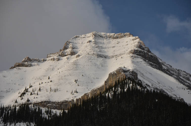
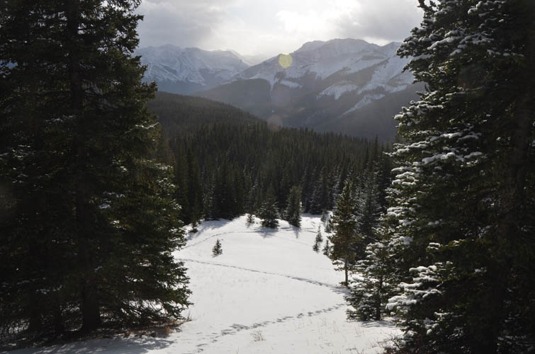
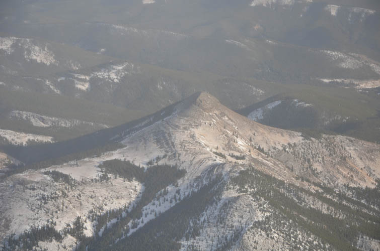
The approach is a bit tedious at first, going through lots of forest without any views, then descending to Bluerock Creek and rising up a small treed ridge on the other side. Here, there are the odd views of Mount Burns East Peak and Mount Burns proper, two scrambles that aren’t done very often and deserve more attention in my opinion.
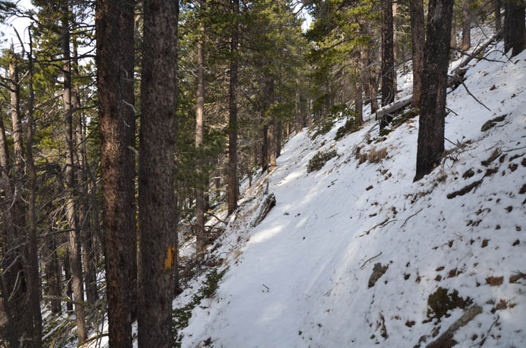
There was very little to no snow on the trail in the forest, but higher up near treeline there were some sections where I sank in knee deep. The trail then ends at a very scenic picnic spot with a bench that looks out to Mount Burns. Too bad is was already way too windy for me to sit here and take it all in.
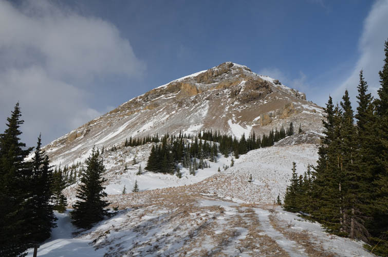
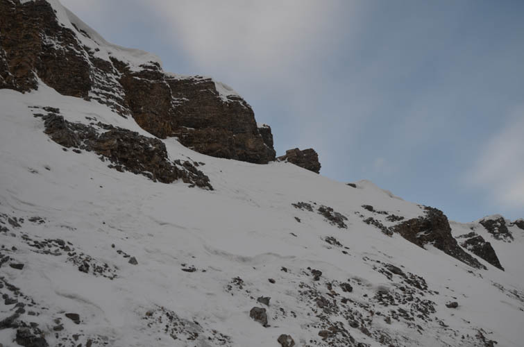
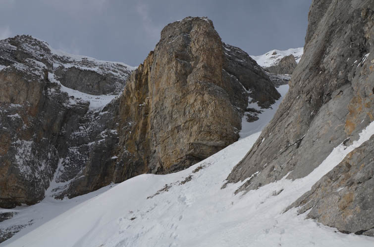
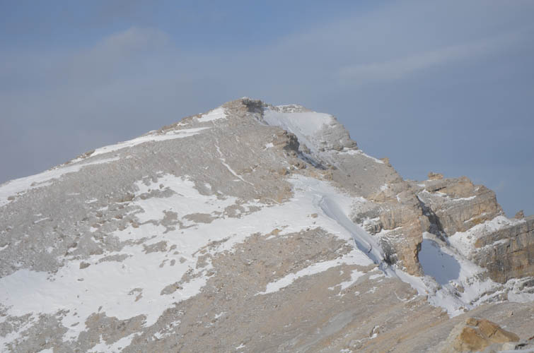
In typical winter conditions this might be the end of the road: to get to the ridge top from treeline requires hiking up a steep scree slope (faint trails) and overcoming a cornice/snow lip that might prove too dangerous or steep if you don’t have mountaineering tools with you. Today it was just barely manageable with kickstepping and using my poles as anchors – yes, an ice axe would’ve been better!
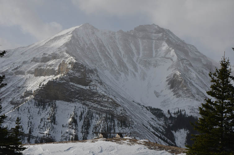
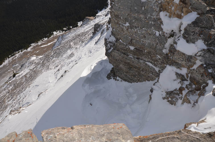
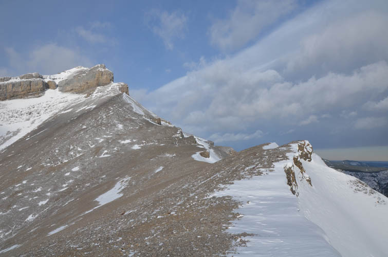
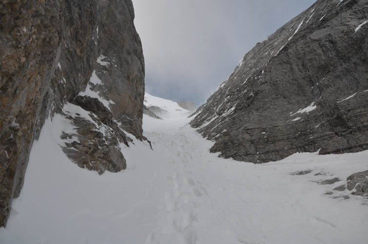
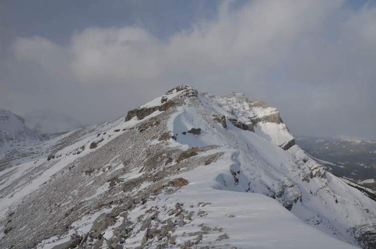
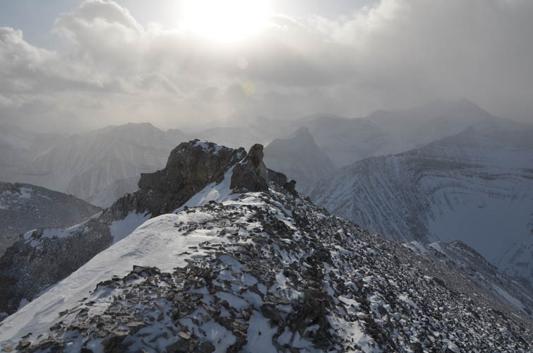
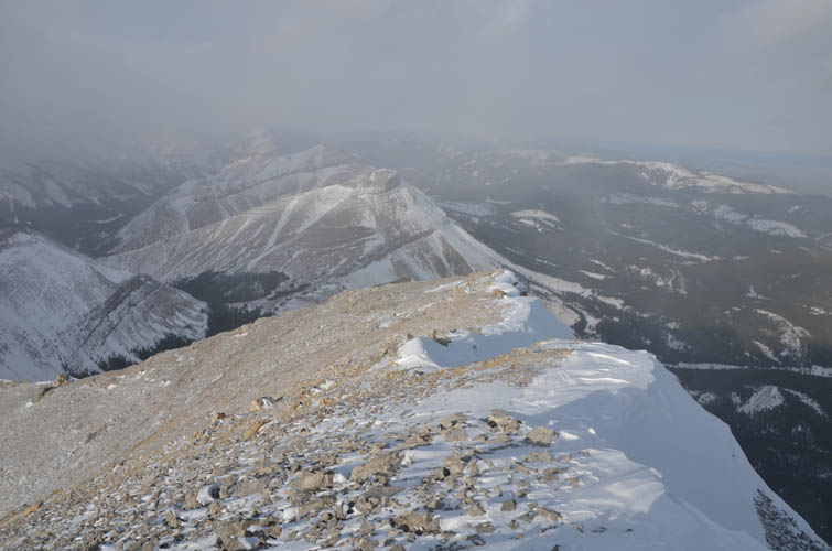
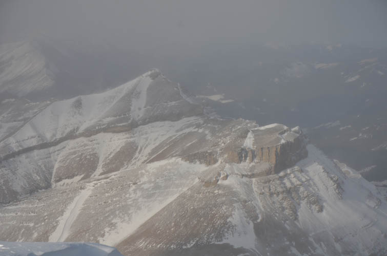
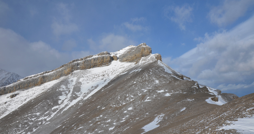
Once on the ridge top the wind REALLY picked up – it felt like being in the middle of a storm for the rest of the way to the summit. I had to use all my layers, face mask, mittens and hand warmers, and my long thermal underwear came in very handy. The views from the ridge are super scenic and there are quite a few ups and downs. About half-way to the summit is the second crux (the main difficulty in summer conditions): a vertical cliff band dipping west across the slope. It can be avoided by dropping down a significant way to the left (west), or going up a chute in the middle. Thankfully, the snow pack was firm enough to allow for kickstepping but once again I wish I had brought my ice axe. This can be a very dangerous place if conditions are anything other than ideal (which they were today), as the chute represents a terrain trap where even a mini-avalanche or collapsing cornice overhead are serious hazards. This is why I would strongly advise against doing this in the winter as you never know what conditions are like until you’re there.
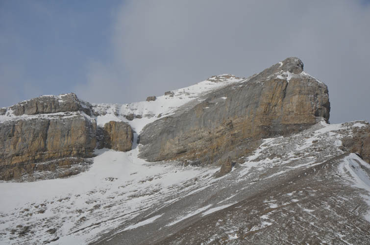
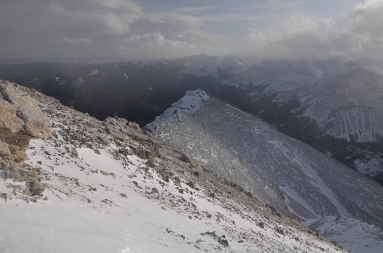
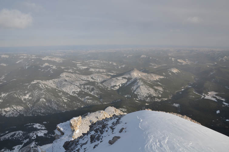
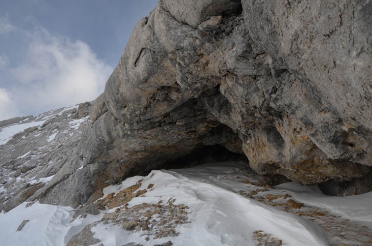
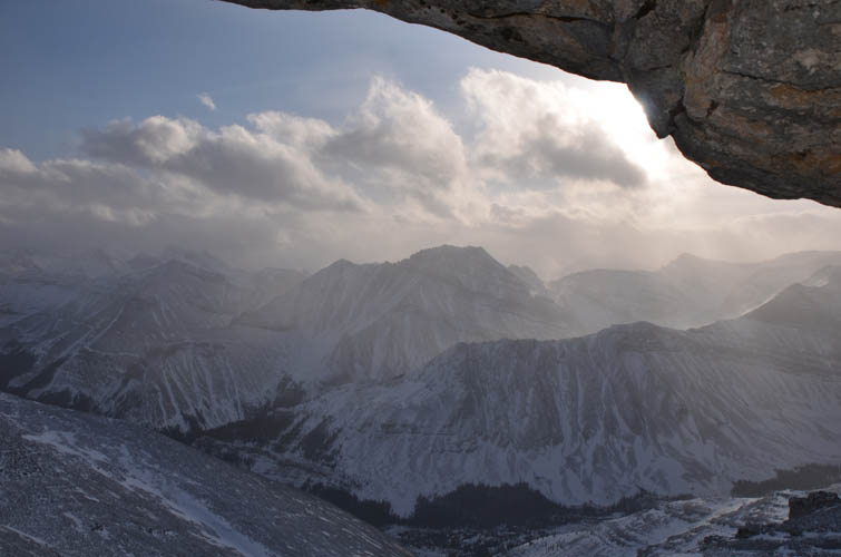
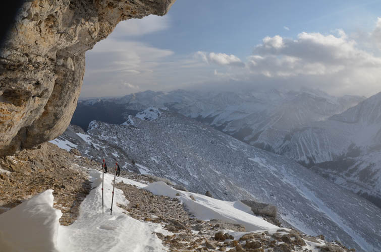
The rest of the ridge was an easy yet windy hike to the summit. A bit concerned about the stability of the snow in the chute with the warming afternoon temperatures, I took a few summit pictures and immediately turned around. On my return I stopped by a neat little cave that sits along the route, a great place to get some temporary relief from the gale-force winds. Back at the chute I had to face inward to slowly kickstep my way down. It’s quite steep and a slip would probably leave you with more than just bruises and scratches.
The remainder of the descent was pretty quick and just a matter of retracing my steps. Since I had a relatively late start I spent the last hour hiking through the forest with my headlamp. A fantastic ridgewalk and great winter adventure.
|
Elevation: |
2773 m (my GPS) |
|
Elevation gain: |
1550 m |
|
Time: |
8.5 h |
|
Distance: |
22.5 km |
|
Difficulty level: |
Moderate to difficult (Kane), T3/T4 (SAC) (depending on snow/ice) |
|
Comments: |
Avalanche danger in crux chute! |
|
Reference: |
Nugara |
|
Personal rating: |
4 (out of 5) |
NOTE: This GPX track is for personal use only. Commercial use/re-use or publication of this track on printed or digital media including but not limited to platforms, apps and websites such as AllTrails, Gaia, and OSM, requires written permission.
DISCLAIMER: Use at your own risk for general guidance only! Do not follow this GPX track blindly but use your own judgement in assessing terrain and choosing the safest route. Please read the full disclaimer here.