 Kananaskis, Canada
7 March 2017
With Wen
A long forest hike
When avalanche danger is high elsewhere in the Rockies, Mount Barwell makes for a nice and fairly safe snowshoeing trip. With sunny skies in the forecast we really wanted to get out this weekend and decided on Barwell as an easy objective that’s not too far from Calgary.
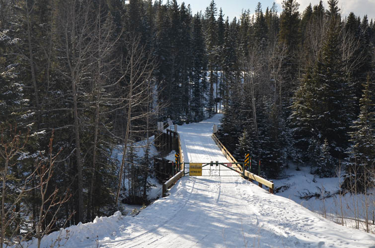
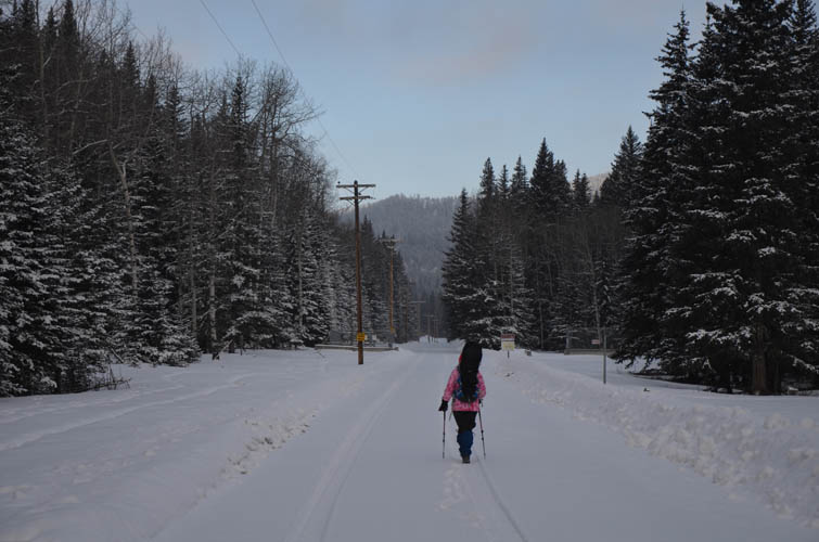
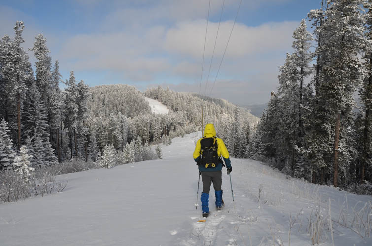
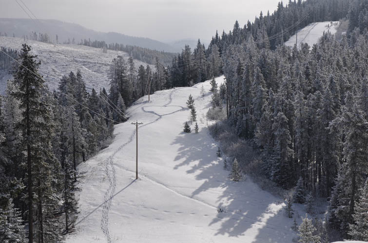
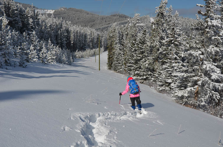
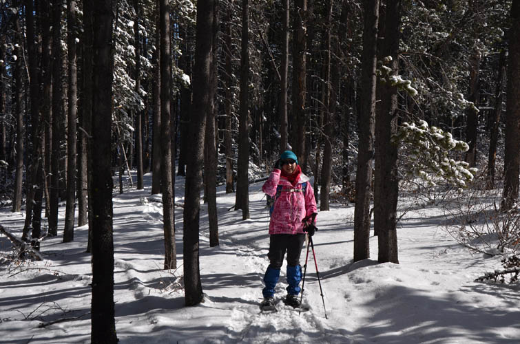
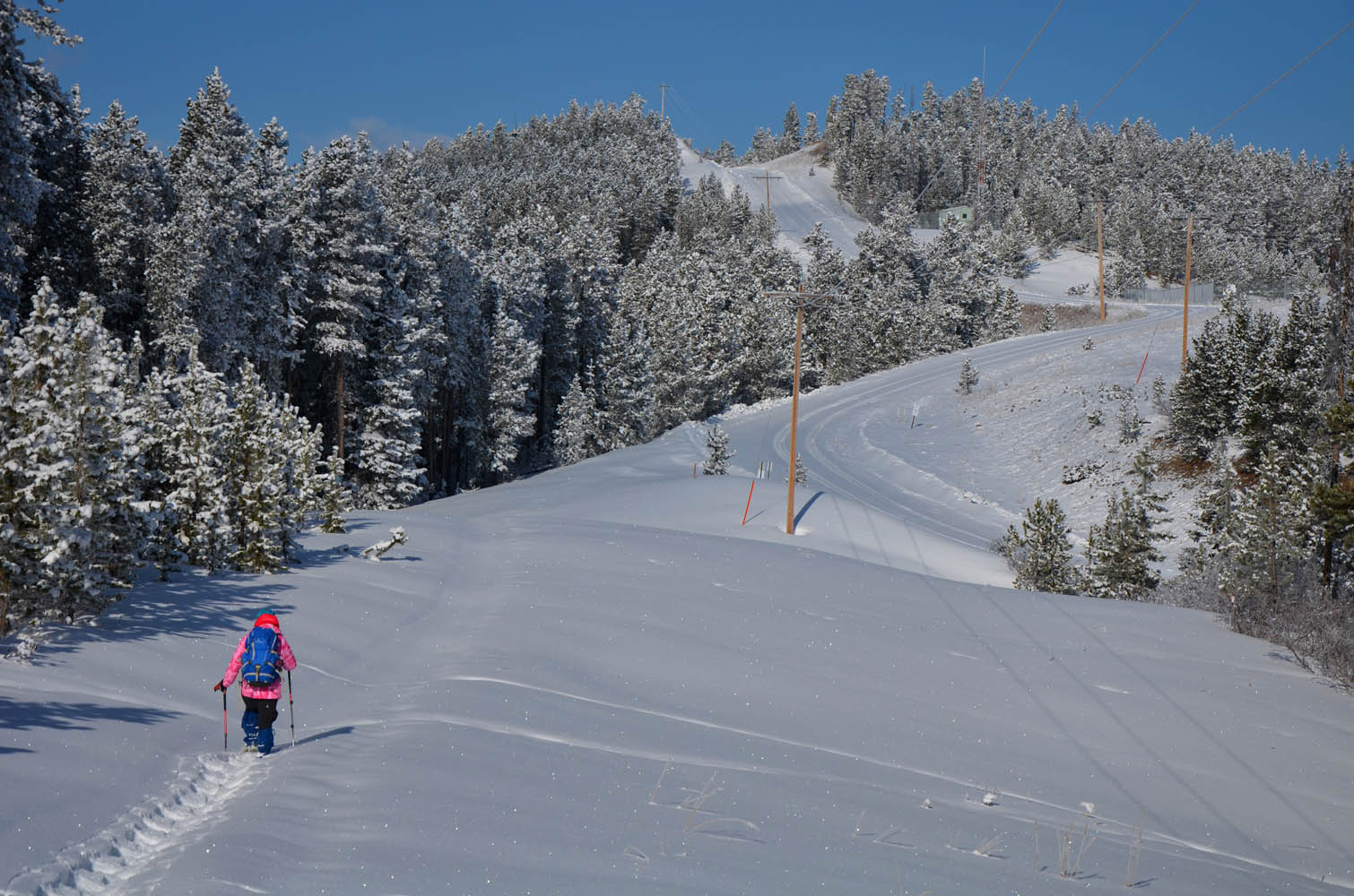
We parked by a gated road and followed what seems to be a well site road in the forest, a pretty boring walk in the forest. Where the road makes a sharp left turn, we went straight and continued on a cutline along a powerline for the next 2 km, steadily climbing higher. Here, we finally had to put on our snowshoes as the snow was getting too deep in the wind-sheltered areas of some of the small bumps along the way.
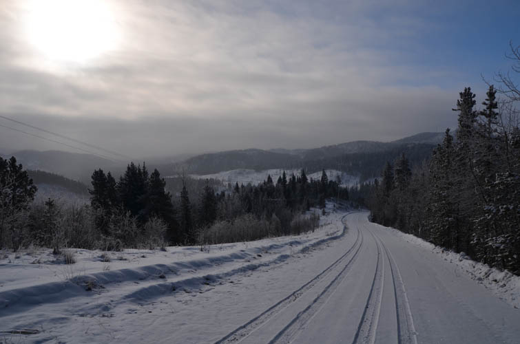
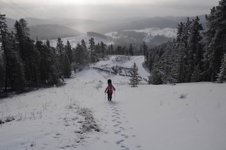
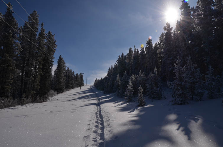
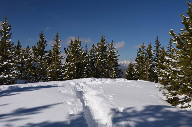
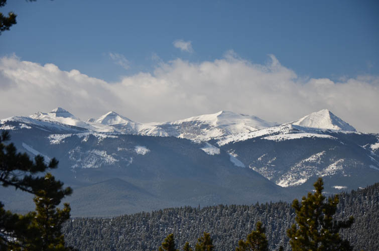
At the end of the cutline we joined another road that leads to a gas well a bit higher up. Past the fenced well site there’s a trail through the forest to the summit of Mount Barwell. During almost the entire ascent we had pretty much no views, but we didn’t mind – it was a clear and sunny day, the air was dry and crisp, and it felt just great to be moving outdoors. Even at the summit you have to try really hard to see anything. It’s trees all around, except for a small clearing a few metres to the west of the summit where the Front Ranges can be seen.
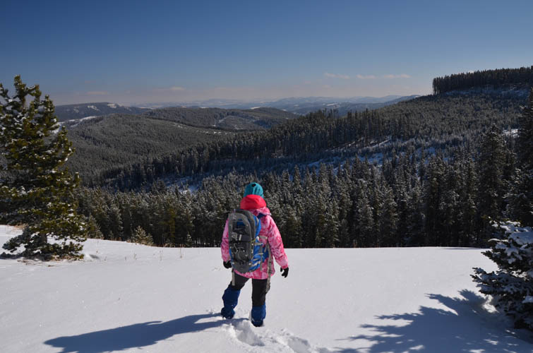
On our way back we decided to switch things up a bit and followed the road from the well site all the way down into the valley where it joins the main road (Maclean Creek Trail). Note that this road is closed to the public – there’s a gate a couple of km north of where we parked our car.
Overall a pretty unexciting mountain, but a pleasant day out and a great work-out!

|
Elevation: |
1905 m (official), 1909 m (my GPS) |
|
Elevation gain: |
870 m |
|
Time: |
8 h |
|
Distance: |
19.1 km |
|
Difficulty level: |
Easy hike/snowshowing trip (Kane), T1/T2 (SAC) |
|
Reference: |
Sonny Bou & local maps |
|
Personal rating: |
2 (out of 5) |
NOTE: This GPX track is for personal use only. Commercial use/re-use or publication of this track on printed or digital media including but not limited to platforms, apps and websites such as AllTrails, Gaia, and OSM, requires written permission.
DISCLAIMER: Use at your own risk for general guidance only! Do not follow this GPX track blindly but use your own judgement in assessing terrain and choosing the safest route. Please read the full disclaimer here.