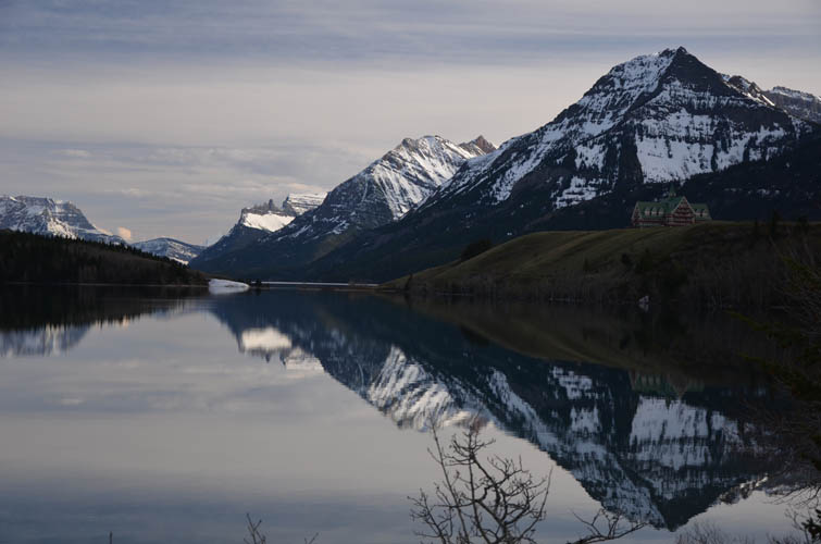
Waterton, Canada
9 May 2017
With Wen
Terrific loop route with a little bit of everything
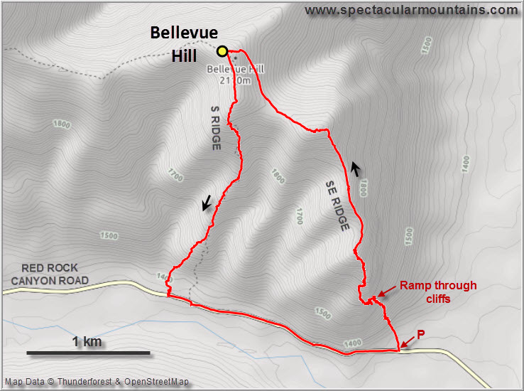
A few years ago I had tried to go up Bellevue Hill with my parents when they were on a visit to Canada. In Europe you would most definitely have a good trail going up a mountain so close to the road and to Waterton, but this isn’t Europe of course – this is the still largely untouched wilderness of beautiful Canada! And while none of us expected a trail, the steep scree slopes that start the ascent on the southeast side were a bit too much for my parents so we enjoyed a leisurely walk down in the meadows instead.
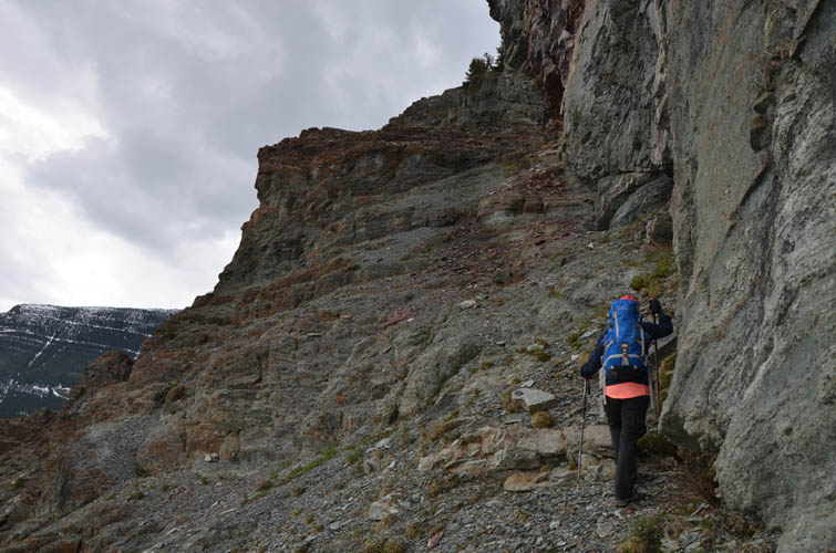
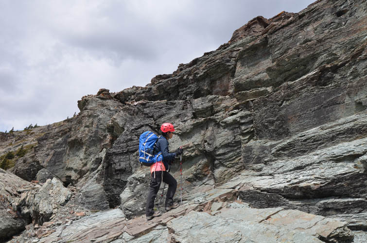
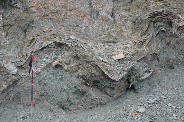
When I returned to the area with Wen in 2016, I thought we should give Bellevue Hill another try. The initial scree slopes were quickly behind us, then came the real crux: a diagonal ramp cutting through the cliff bands followed by a steepish drainage involving some easy to moderate scrambling. I quite enjoyed it, but I think Wen did not…
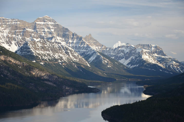
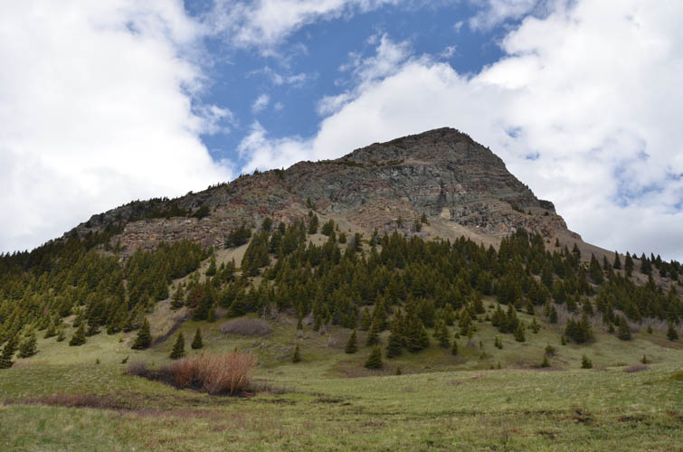
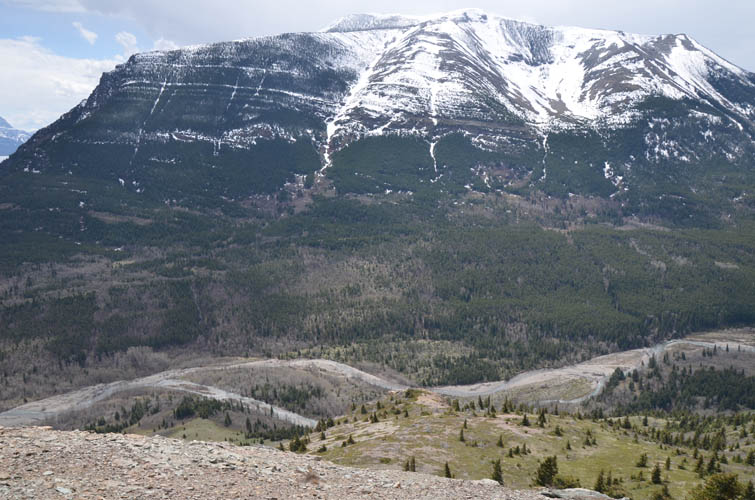
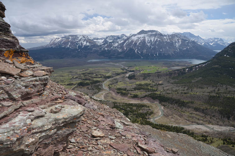
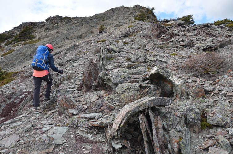
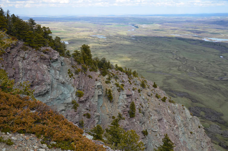
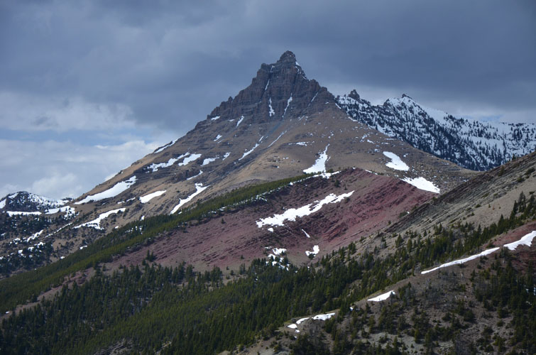
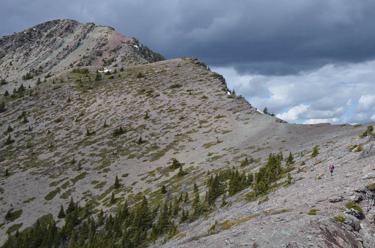
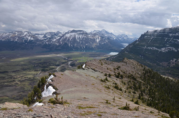
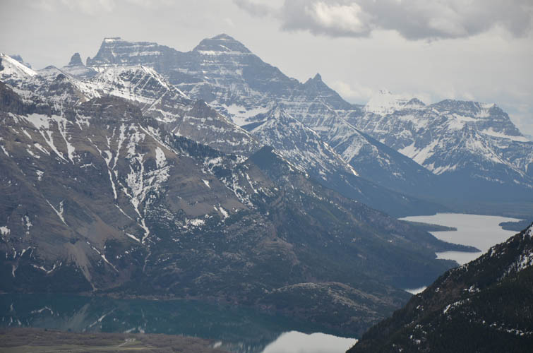
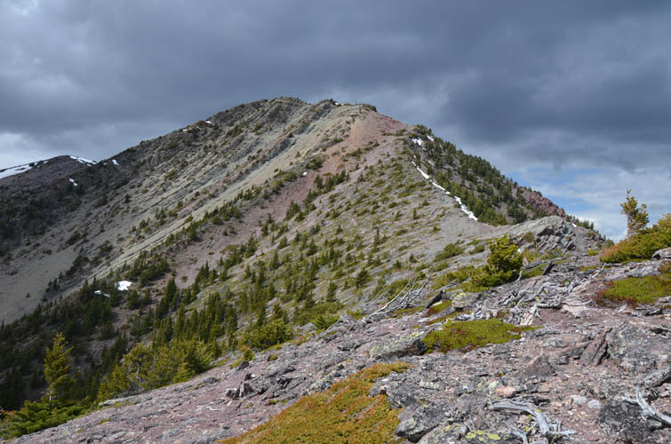
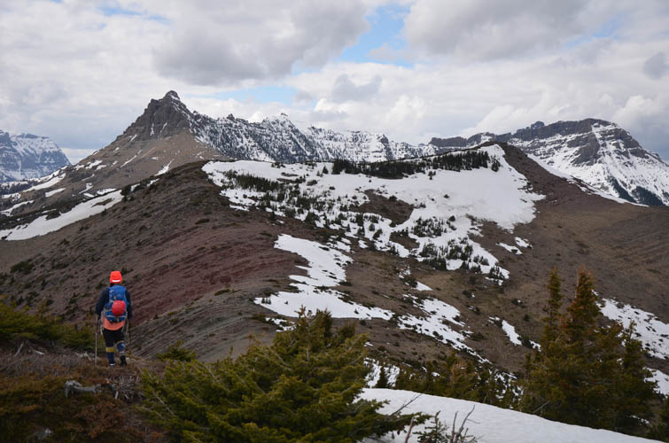
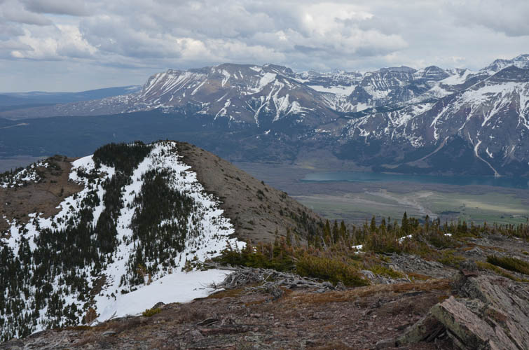
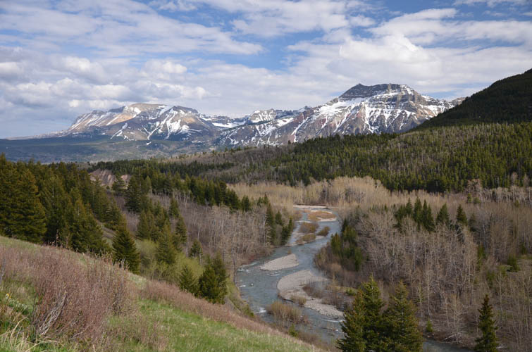
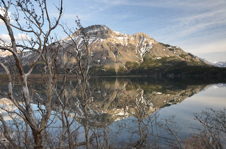
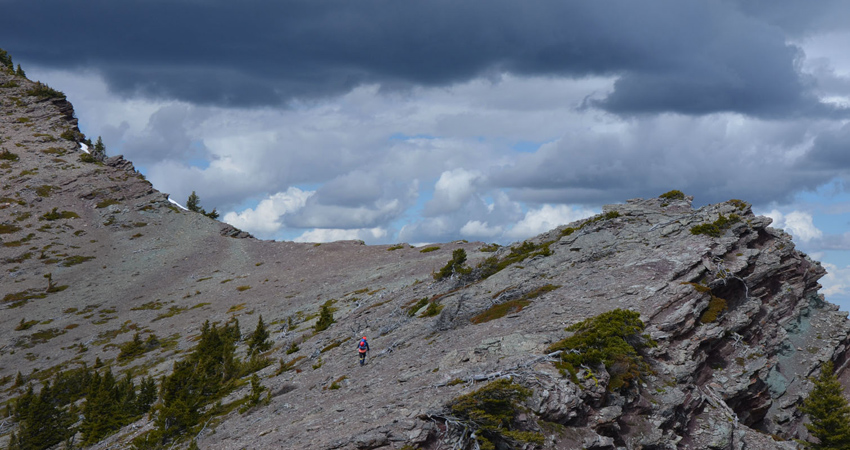
Once we were out of the drainage and on top of the southeast ridge, the difficulties were quickly forgotten and we both thoroughly enjoyed the hike along the undulating ridge to the summit. Hues of red, brown and black dominate this strikingly colourful landscape, so different from the monotonous grey of the Rockies further north. A landmark in this area is Mount Galway, the small peak immediately to the west, which looks like a miniature castle and is actually a really fun short scramble.
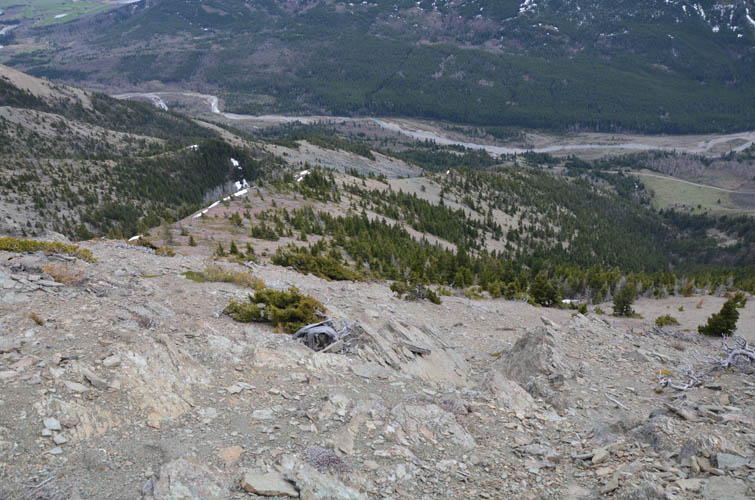
After a short break, we continued our loop by heading down the easy south ridge, which leads directly back to the Red Rock Canyon road. The terrain here was perfect for a stress-free descent: the grade is gentle and there are no cliff bands. The only snag is that there is a short section of bush to push through right by the road, but nothing too bad. From here we walked back along the road to our car to complete this very enjoyable loop.
|
Elevation: |
2106 m (my GPS) |
|
Elevation gain: |
870 m |
|
Time: |
5.0 h |
|
Distance: |
8.2 km |
|
Difficulty level: |
Moderate (Kane), T4 (SAC) |
|
Reference: |
Nugara |
|
Personal rating: |
4 (out of 5) |
NOTE: This GPX track is for personal use only. Commercial use/re-use or publication of this track on printed or digital media including but not limited to platforms, apps and websites such as AllTrails, Gaia, and OSM, requires written permission.
DISCLAIMER: Use at your own risk for general guidance only! Do not follow this GPX track blindly but use your own judgement in assessing terrain and choosing the safest route. Please read the full disclaimer here.