Kananaskis, AB, Canada
18 August 2019
With Wen
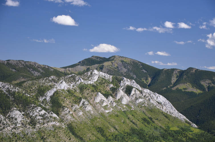
“The Battleship”
Both the official name – Mount Mann, and the local one – “The Battleship”, are rather grandiose-sounding given what small little bump we’re dealing with here. Nevertheless, this minor peak at Highwood Junction makes for a nice, albeit very short day hike. And it was my birthday hike on top of that!
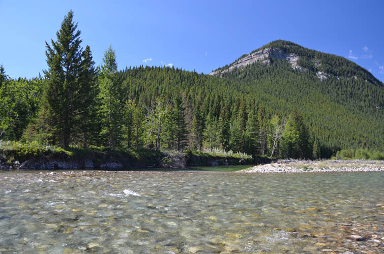
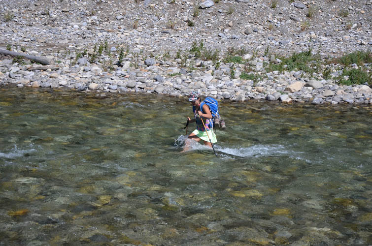
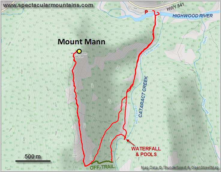
The crux of the trip is fording the Highwood River, which can be tricky in spring or early summer. It was about knee-deep and chilly enough to make us wear sneakers and sandals to make the crossing easier.
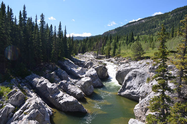
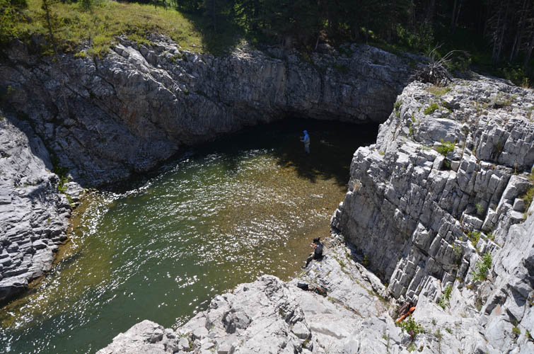
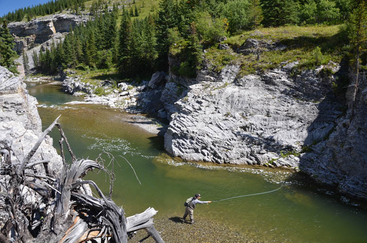
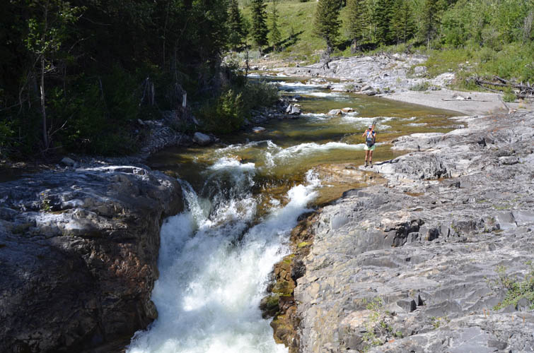
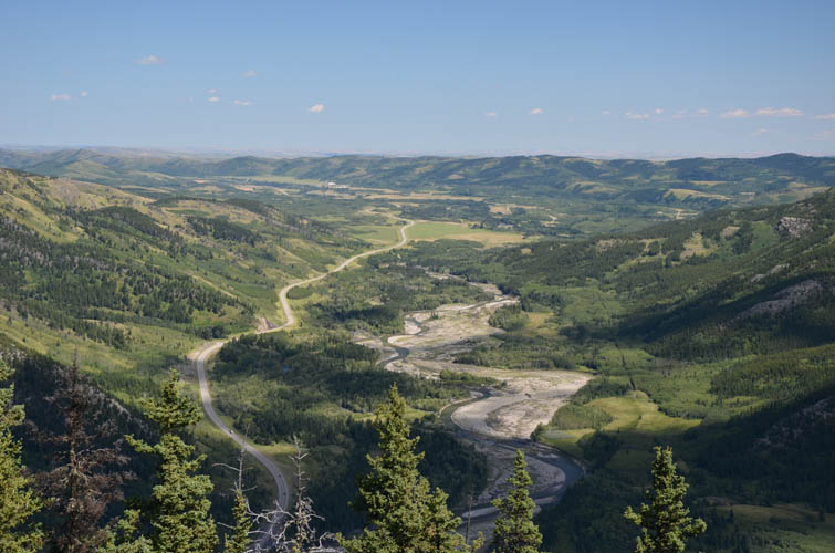
On the other side there’s a good trail that runs up the west side of Cataract Creek. The most beautiful part of our trip was in fact down here by the creek with its many pools, water-worn overhangs, and small waterfalls. Anglers were trying their luck in one particularly scenic spot where the creek takes a sharp 90 degree bend, a lovely place to watch them catch and release.
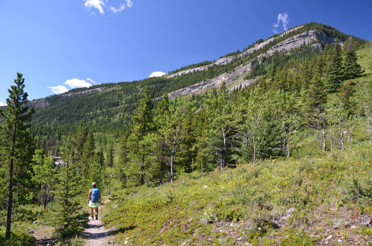
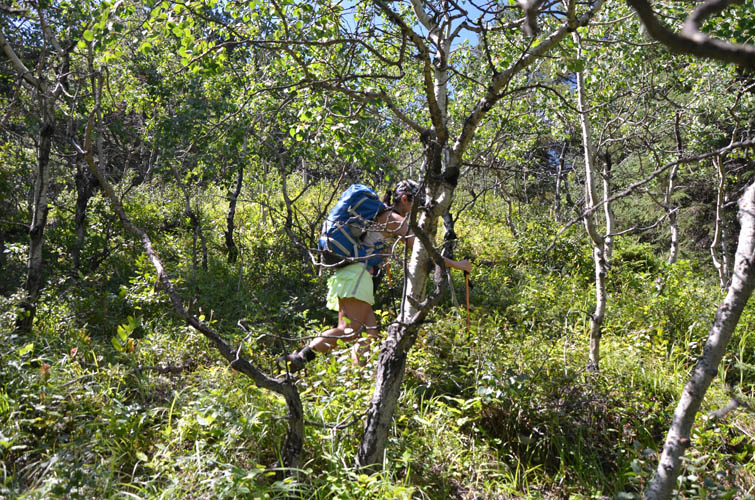
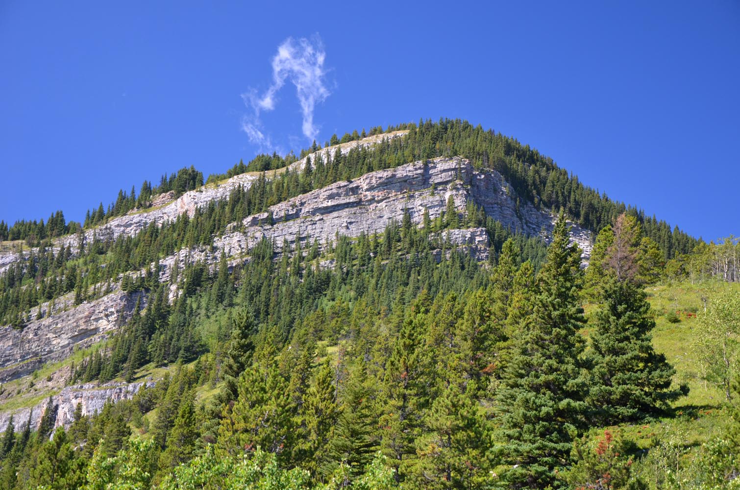
The second minor difficulty was finding the trail going up the east slopes towards Mann’s south ridge. It’s marked on some maps but we ended up bushwhacking half-way up before eventually stumbling upon it. Later on our way down we realized why we had missed it: instead of a single well-defined path, the trail splits into an array of faint traces near its intersection with the main trail in the valley. There is a small cairn, however, that marks the correct turn-off.
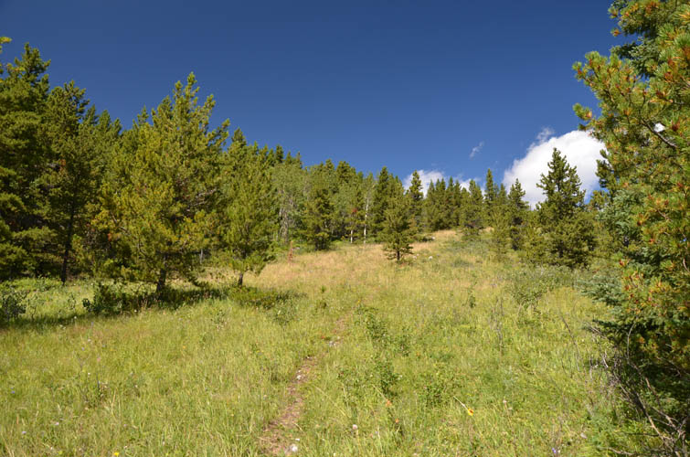
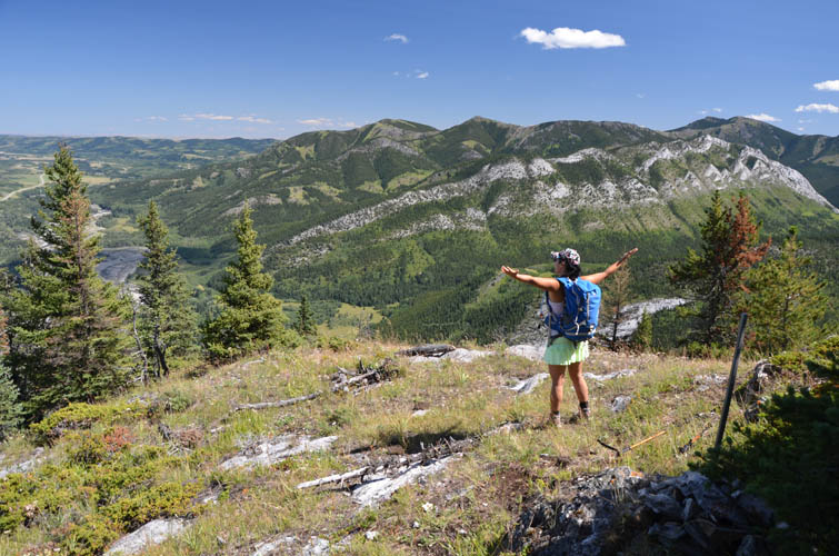
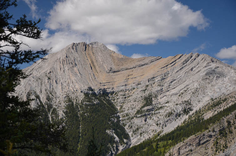
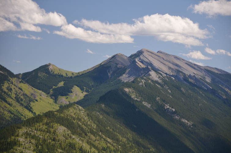
The rest of the trip was an easy and rather unspectacular hike along the undulating south ridge to the treed summit. A narrow path follows the ridge, mostly along the east side. Despite this being a gorgeous sunny Sunday afternoon, we had the peak all to ourselves today. While the views from the clearing on the east side of the summit certainly didn’t wow us, it was a pleasant enough spot to while away some time while gazing at Bull Creek Hills and Zephyr Creek Hills across the valley.
On our way back, just as we had waded across the river again, a Japanese couple with four kids appeared on the Mount Mann side. The two teenagers blazed right through the river, unfazed by the currents and the water coming up to their waists, while the dad carried the little one on his shoulders, then walked back two more times to get the rest of his family. We were pretty impressed!
We got back to our car after about 5 hours at very leisurely pace. Mount Mann itself frankly isn’t my favourite destination, it really was all the cool features of Cataract Creek that made our day. And if time is short or your looking to combine Mount Mann with another short trip in the area (e.g. Gunnery Mountain immediately to the north), then the 2 hour drive from Calgary is definitely worth it.
|
Elevation: |
1905 m (my GPS) |
|
Elevation gain: |
490 m |
|
Time: |
5 h |
|
Distance: |
9.0 km |
|
Difficulty level: |
Easy (Kane), T2 (SAC) |
|
Reference: |
Daffern |
|
Personal rating: |
3 (out of 5) |
NOTE: This GPX track is for personal use only. Commercial use/re-use or publication of this track on printed or digital media including but not limited to platforms, apps and websites such as AllTrails, Gaia, and OSM, requires written permission.
DISCLAIMER: Use at your own risk for general guidance only! Do not follow this GPX track blindly but use your own judgement in assessing terrain and choosing the safest route. Please read the full disclaimer here.