Kananaskis, AB, Canada
24 October 2021
Solo
A rollercoaster hike
I really don’t know what to think of this one. When I first started the approach, I thought this is terrible and I’d rate it 1 out of 5. But as soon as I left the alder-infested trail and hiked up the slopes, it got better and better, and by the time I was walking the ridge top it was a 5 out of 5 for me. Then the enjoyment level gradually decreased again as I followed the ridge to “its bitter end” as Daffern puts it in her Kananaskis Country Trail Guide. Some more hideous bushwhacking followed and it was a 0 out of 5 in the upper valley on return… A rollercoaster ridge in the true and figurative sense!
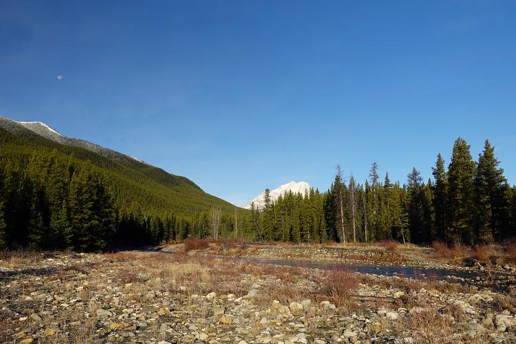
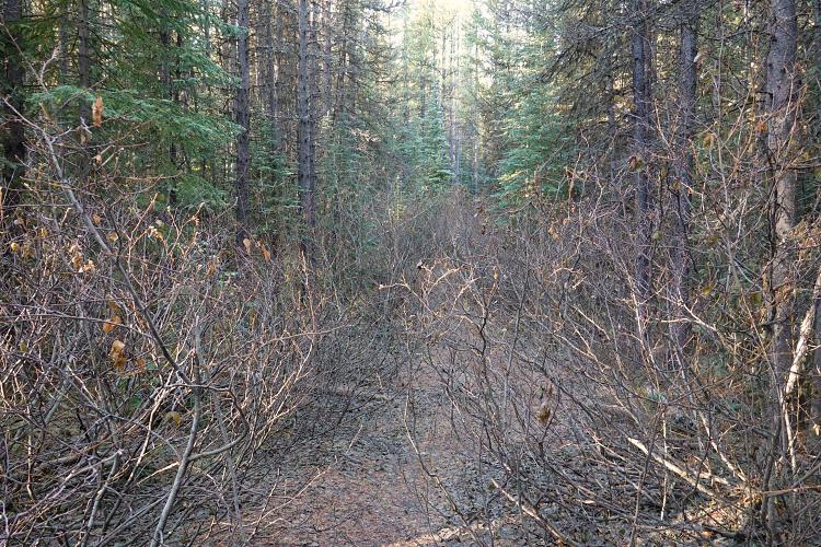
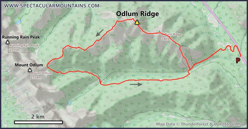
There must be a better way to approach this ridge. The normal way everybody seems to go is certainly not enjoyable – I’m glad I didn’t bring my beginner hiking friends on this one. The initial trail from the highway down to the river is straightforward and even crossing the Highwood River was easy as it was only a few steps of ankle-deep water (old sneakers helpful). But the uphill section of trail that followed on the other side was absolutely terrible: an old road/cutline that’s almost completely overgrown with nasty alders.
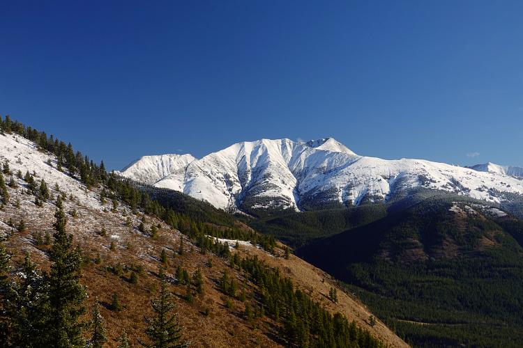
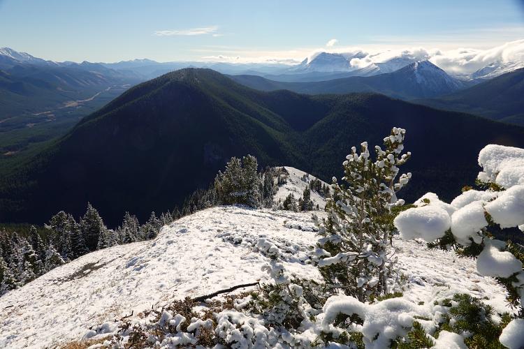
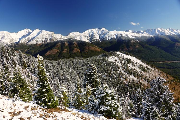
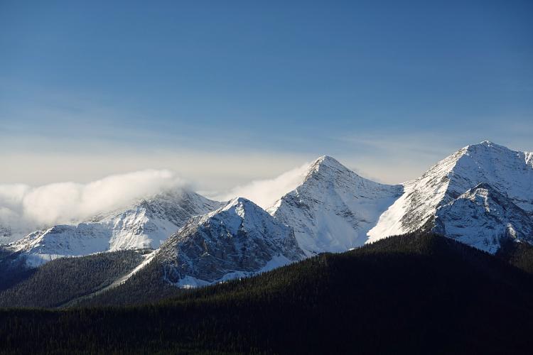
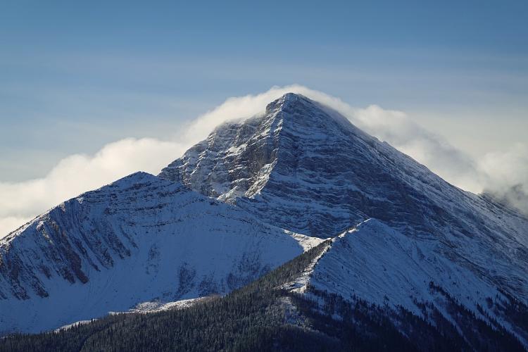
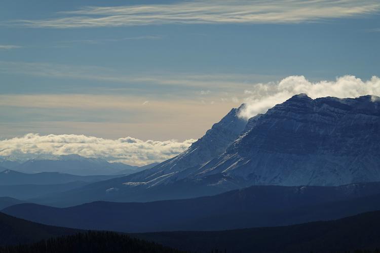
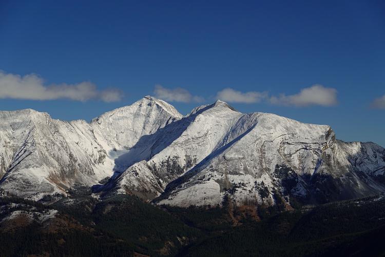
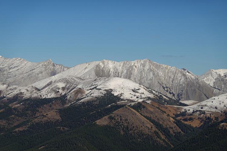
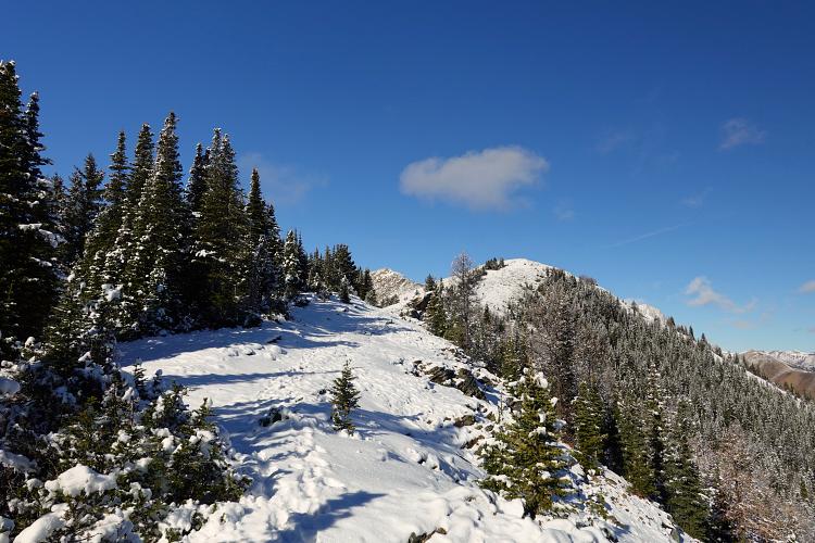
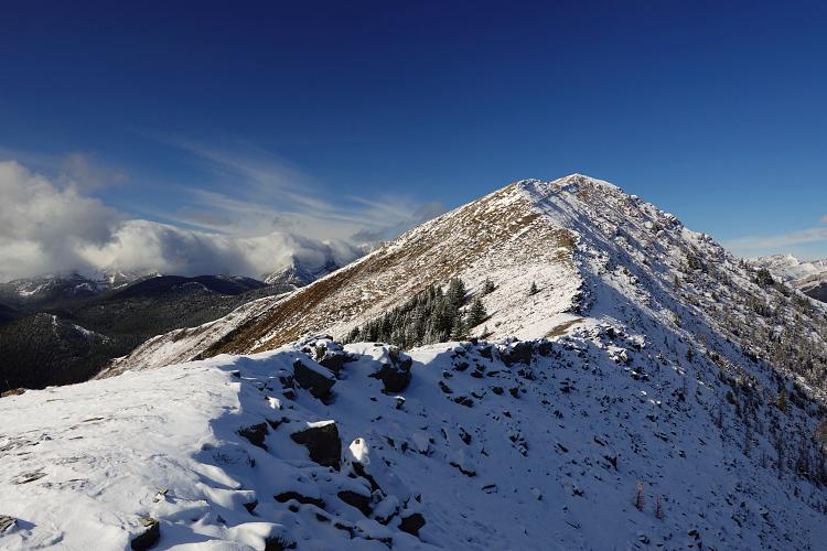
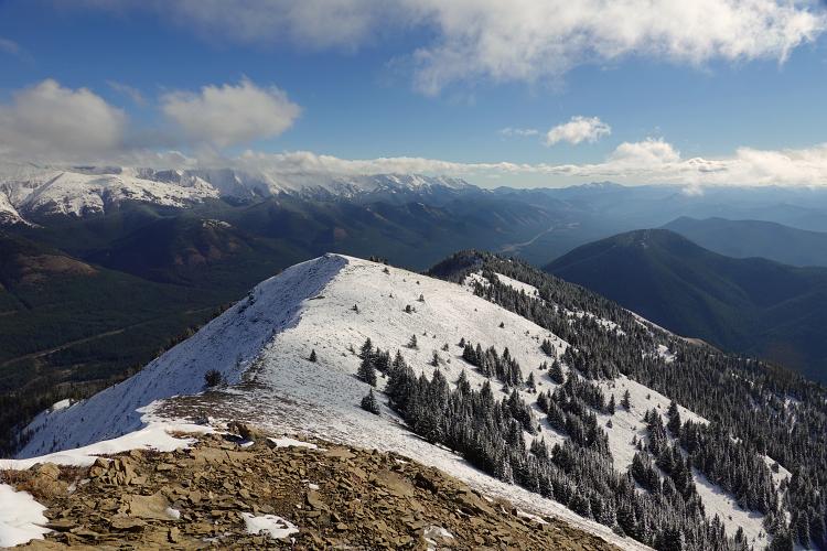
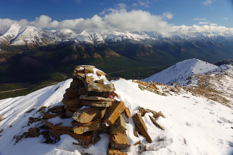
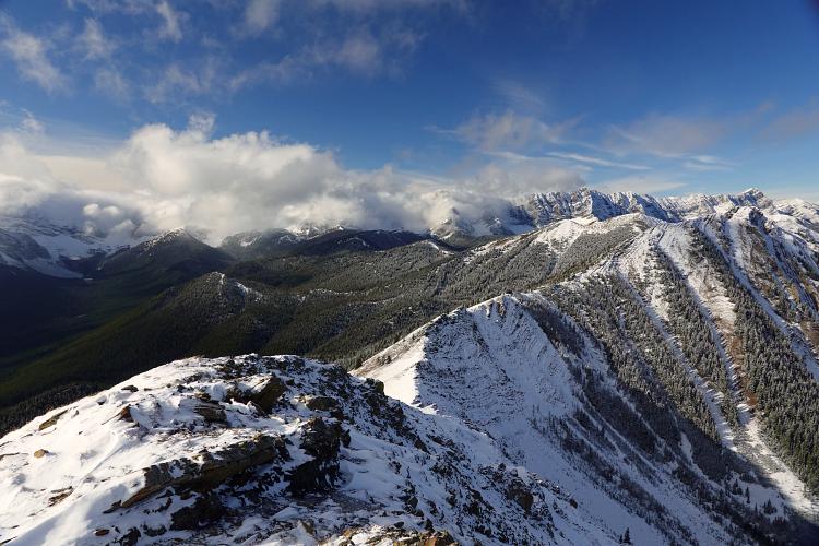
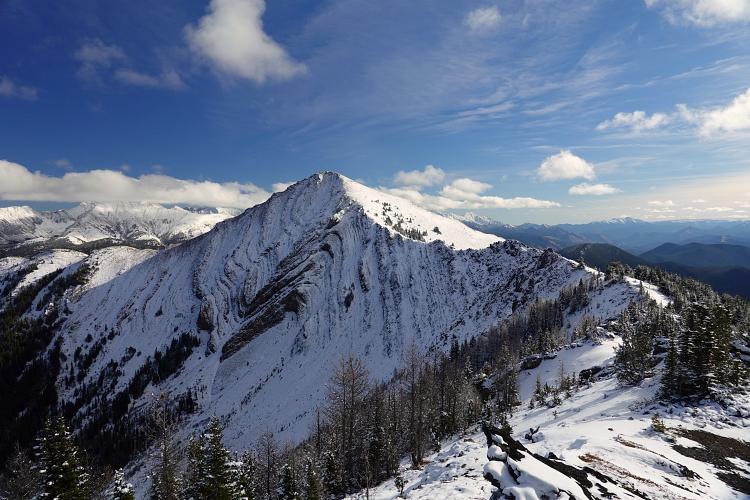
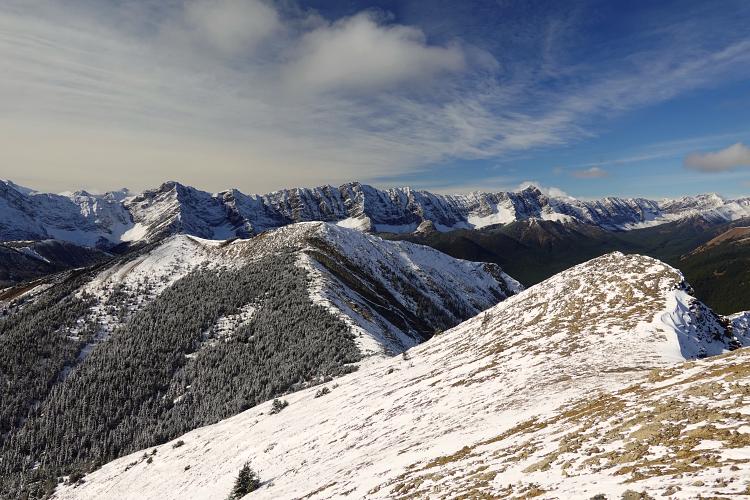
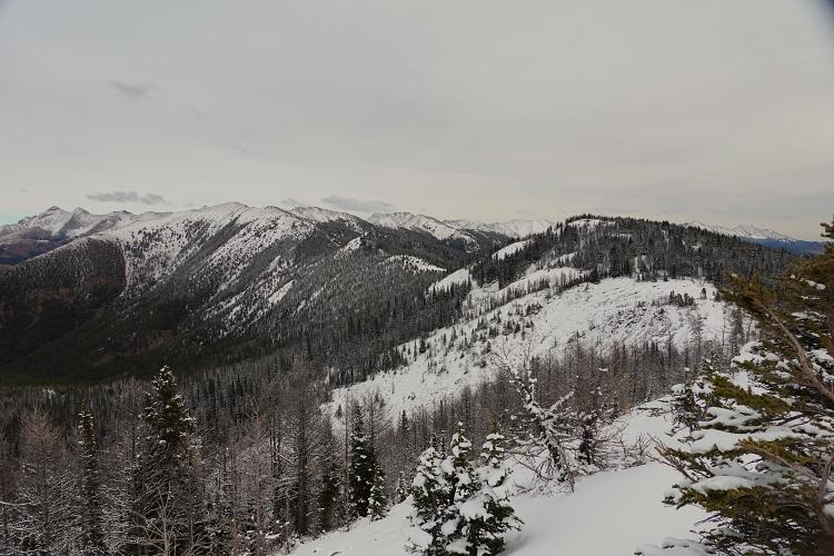
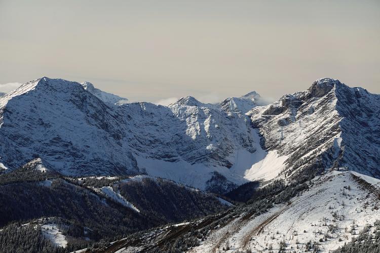
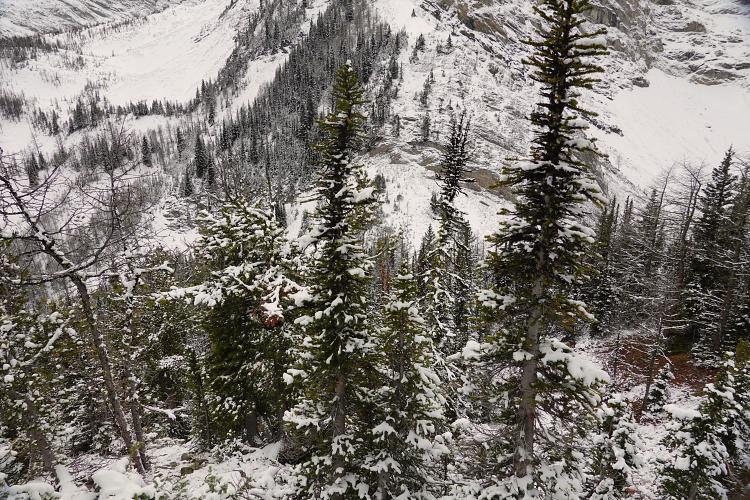
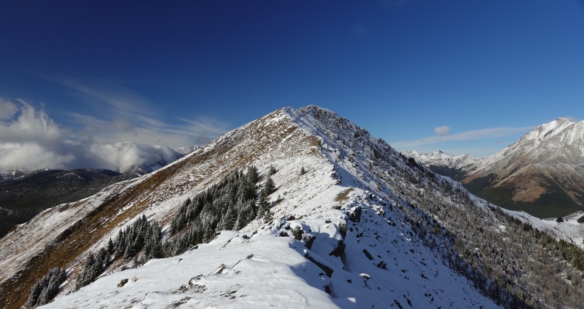
Just before the old road descends to and crosses Odlum Creek there is a trail (cairn) that goes straight up the slope on the right, first through light trees that soon give way to an open grassy ridge with terrific views that keep getting better and better. Even higher up there are excellent game trails that take you directly to the main ridge, which is easily followed to the east summit sporting a large cairn and register. On a sunny clear day like today the views were simply stunning with a huge swathe of the Highwood to be admired all around me. I continued to the centre summit, which – I agree with Vern’s observation – appears higher than the east summit that everybody thinks is the high point. According to my GPS the centre summit is actually 10 m higher.
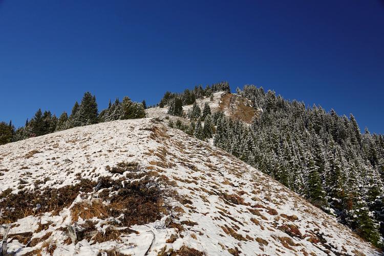
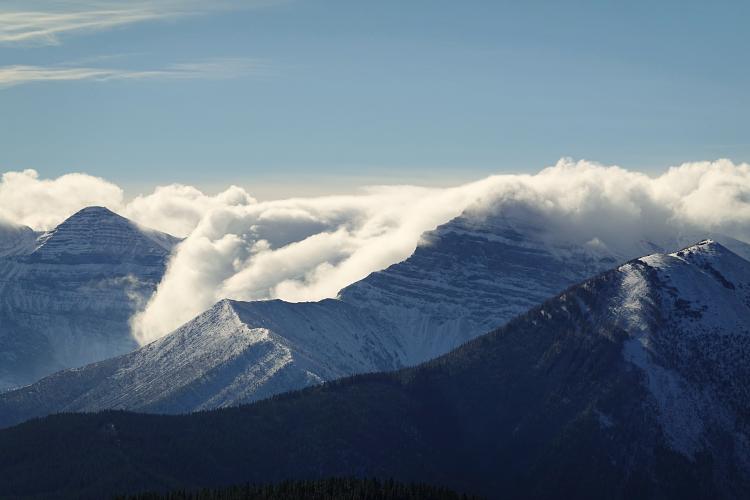
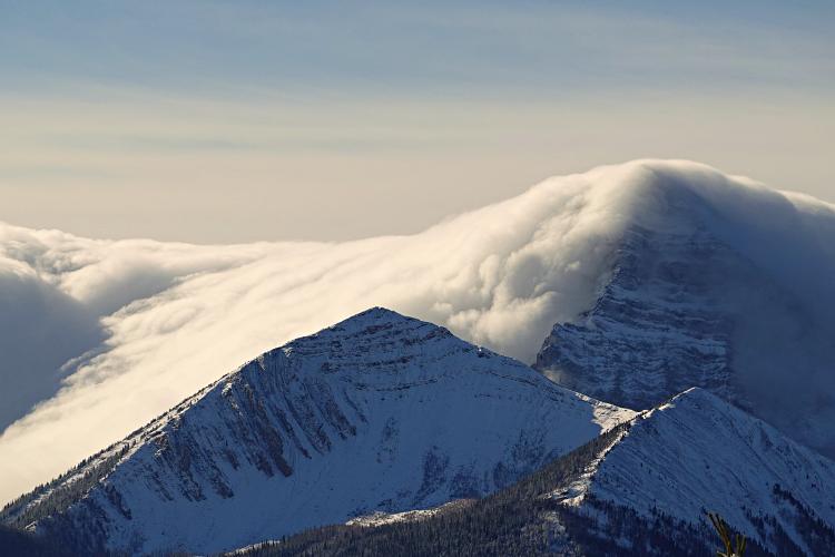
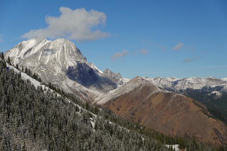
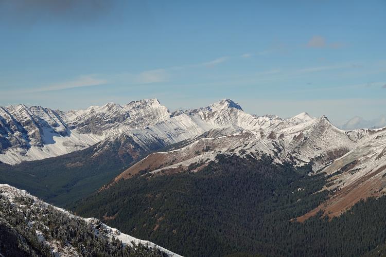
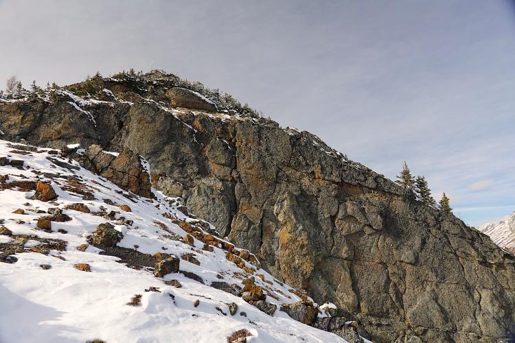
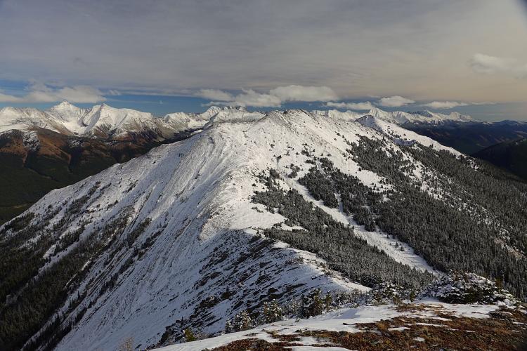
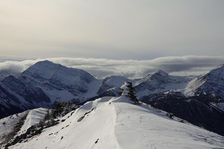
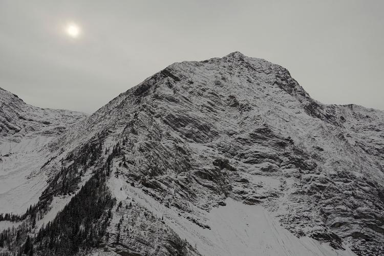
The day was so beautiful that at this point, instead of just heading back the same way which would’ve made this trip fairly short, I decided to keep going to finish the entire ridge. The going is easy throughout (no scrambling required), but patches of snow and short stands of trees required a bit of routefinding here and there. The west summit is only about 20 m lower than the centre summit, after that there are still a lot of ups and downs to cover. Just before Odlum col there is one last surprise climb to a cairned knob that’s actually quite steep – a last reminder that you just completed close to 1700 elevation metres.
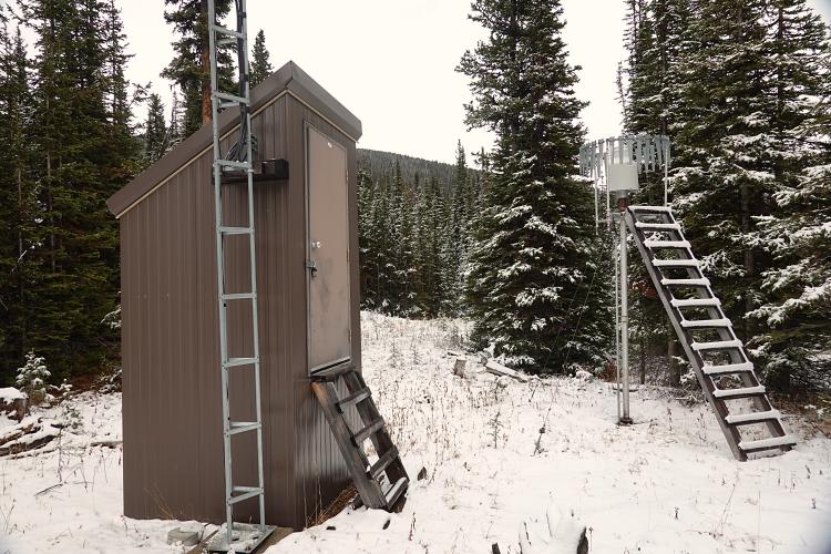
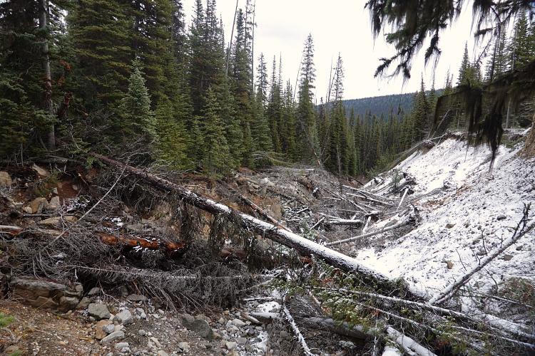
For some reason I expected a trail to lead me down the south slopes from the col, but there was none… at least I couldn’t find one in the snow. After some light bushwhacking I finally stumbled upon the old exploration road down in the valley, only to lose it again after a short while after I passed an odd installation that looked like a weather station but apparently is a snowpack measurement station. The old road was so overgrown with trees and bushes, it was really hard to follow. Eventually it disappeared completely in a big mess of deadfall where it ran into Odlum Creek… I bushwhacked along the left side of the creek, but it was so awful that after about half an hour I crossed the creek and tried the other side where to my relief I came across the old road again, still overgrown but much better than the deadfall.
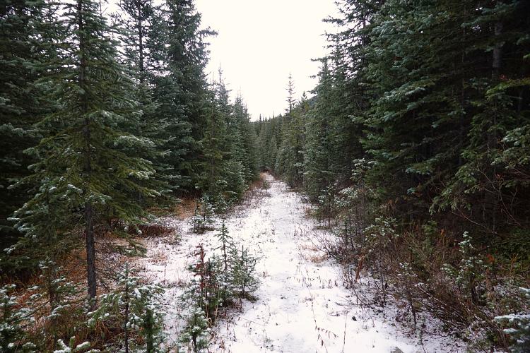
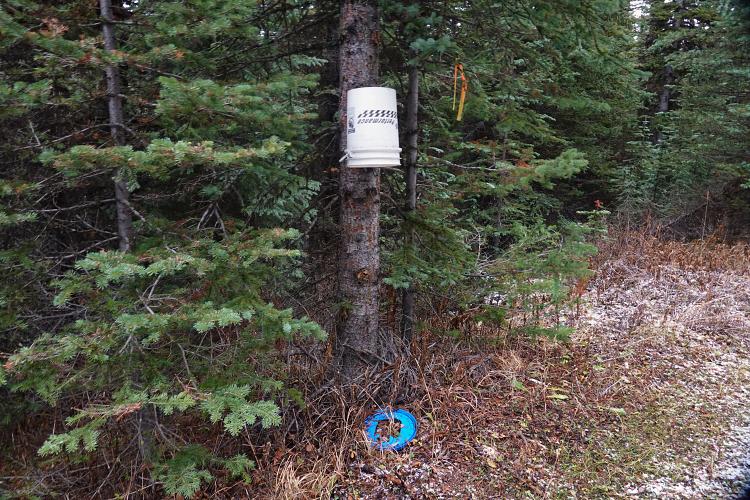
Soon after, I arrived at a flat grassy area with a neglected hunter’s camp where the two main trails in the valley merge: Odlum Creek trail on the north side of the creek and Odlum Pond trail on the south side. I remembered reading that the trail on the south side is considered to be much better, so I decided to hike back along Odlum Pond trail which turned out to be a very sensible choice. The old road here seems to see regular trimming, perhaps by hunters and trappers that come up here on horseback. I noticed some strange contraptions every couple hundred metres, buckets with holes hanging upside down on trees right by the road. I assume these are used to trap small animals such as mink or ferrets for their fur.
The two trails come within a distance of some 150 m of each other at about the point where I had left Odlum Creek trail up the slopes in the morning. This is where I found an old, rarely used trail that connects the two through the forest. After hopping Odlum Creek I was back on my ascent route, thrashing down the cutline through the alders to the river. A short while later I arrived at Lantern Creek parking lot, about 9.5 hours after I had set out in the morning. A good day full of ups and downs!
|
Elevation: |
2335 m |
|
Elevation gain: |
1160 m |
|
Time: |
7.5 h |
|
Distance: |
26.0 km |
|
Difficulty level: |
Easy (Kane), T3 (SAC) |
|
Activity: |
Hiking |
|
Reference: |
Local maps; Gillean Daffern’s Kananaskis Country Trail Guide Vol. 5 |
|
Personal rating: |
1 to 5… so probably a 3 (out of 5) |
NOTE: This GPX track is for personal use only. Commercial use/re-use or publication of this track on printed or digital media including but not limited to platforms, apps and websites such as AllTrails, Gaia, and OSM, requires written permission.
DISCLAIMER: Use at your own risk for general guidance only! Do not follow this GPX track blindly but use your own judgement in assessing terrain and choosing the safest route. Please read the full disclaimer here.