Kananaskis, Canada
9 March 2017
With Wen
An unexciting forest walk
Channel Ridge is one of those unremarkable outings you do when nothing else comes to mind or nothing else is feasible. With lots of snow and considerable avalanche hazard on higher and steeper slopes this weekend, there wasn’t much else to do but to resort to a lowly foothills destination.
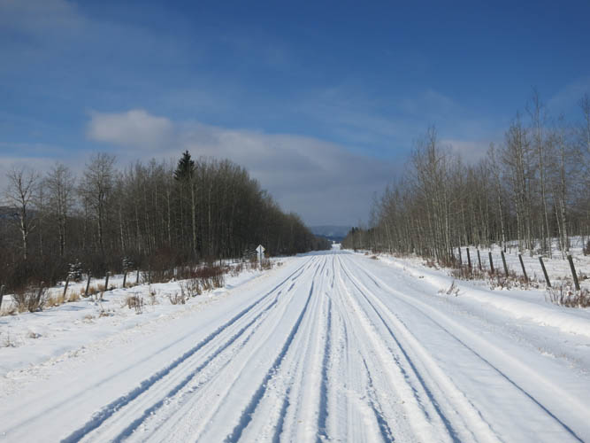
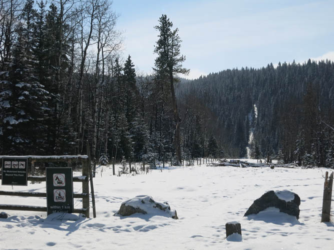
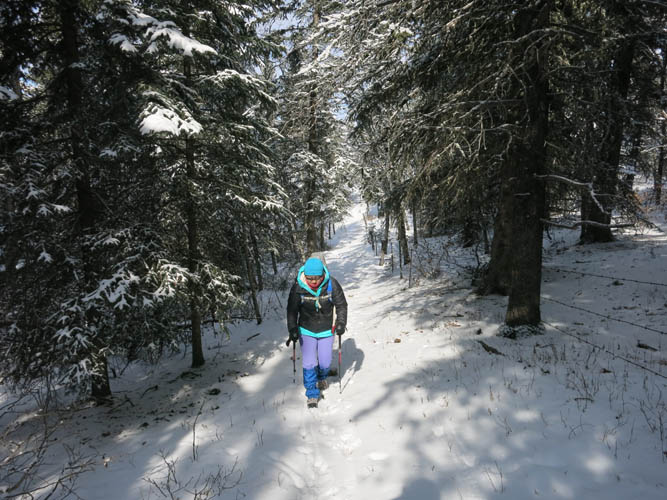
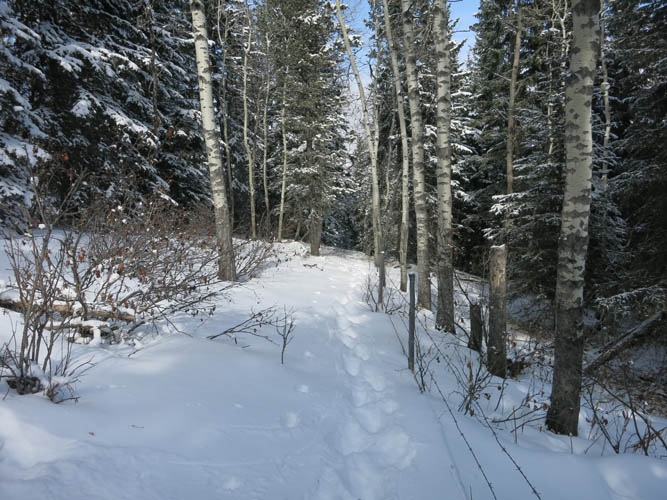
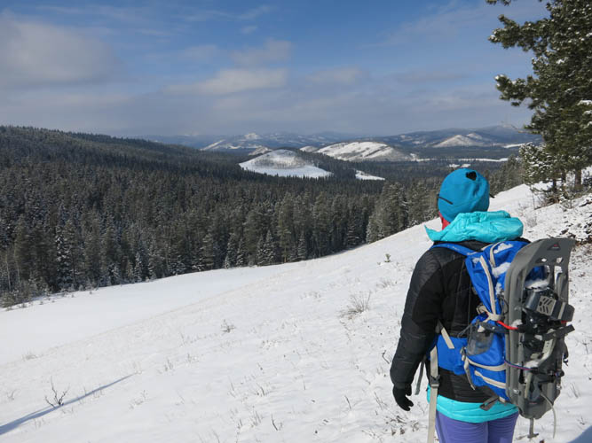
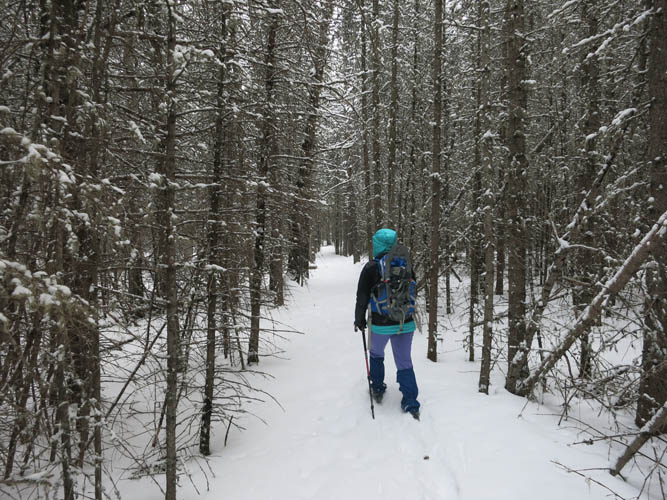
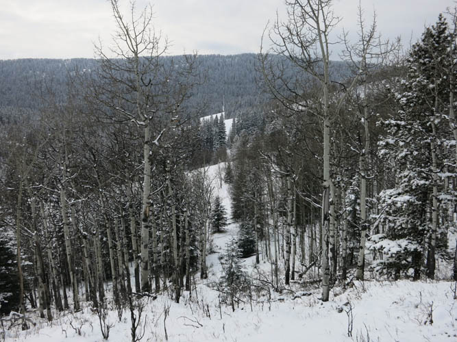
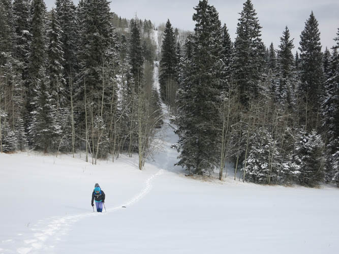
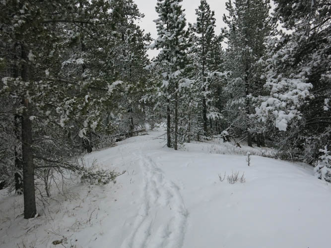
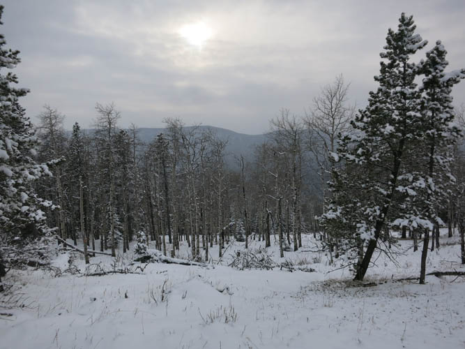
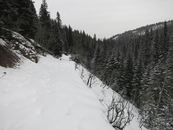
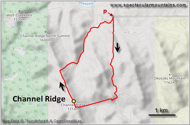
We parked at the end of a small gravel road (193A) right at the eastern edge of Kananaskis Country. Several cutlines and snowmobile tracks start from the parking lot here. We picked a line along a fence that marks the boundary of K-Country, then continued south through light forest along various trails we stumbled upon, eventually heading west along open slopes and cutlines. The first few hours were actually quite nice since we still had some sun and blue skies, but the clouds soon rolled in making the rest of the day pretty dreary. At the eastern flank of Channel Ridge the snow got so deep that we had to put on our snowshoes for the first time. A short stint of unpleasant bushwhacking on the steep east slope got us to the top of the ridge.
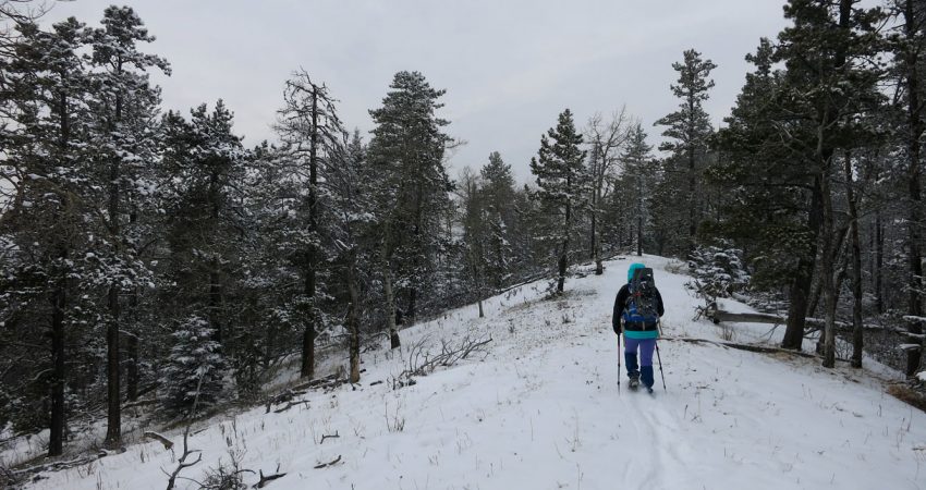
The walk along the crest of Channel Ridge was quite enjoyable, albeit with limited views. There’s a blazed trail along the ridge top which made travel pretty easy. To get back to our car we first dropped down the eastern flank of the ridge (light bushwhacking) to connect up with a trail in the valley. From here it was an easy snowshoeing plod along several trails and cutlines back to the parking lot.
|
Elevation: |
1717 m (my GPS) |
|
Elevation gain: |
580 m |
|
Time: |
6 h |
|
Distance: |
10.9 km |
|
Difficulty level: |
Easy (Kane), T2 (SAC) |
|
Reference: |
Local maps |
|
Personal rating: |
2 (out of 5) |
NOTE: This GPX track is for personal use only. Commercial use/re-use or publication of this track on printed or digital media including but not limited to platforms, apps and websites such as AllTrails, Gaia, and OSM, requires written permission.
DISCLAIMER: Use at your own risk for general guidance only! Do not follow this GPX track blindly but use your own judgement in assessing terrain and choosing the safest route. Please read the full disclaimer here.