Calgary Foothills, AB, Canada
29 January 2022
Solo
Strenuous winter hike in complete solitude
Horseshoe Peak was more demanding than I had expected. Perhaps it was the patches of deep snow that I encountered in sheltered spots, perhaps it was all the Christmas treats that were still weighing heavy in my belly, I don’t know.
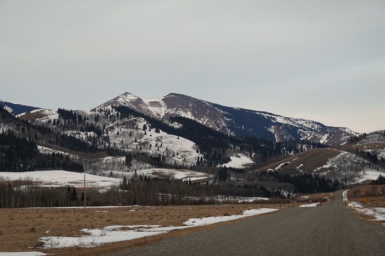
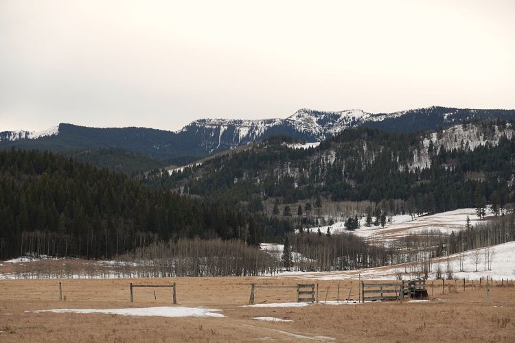
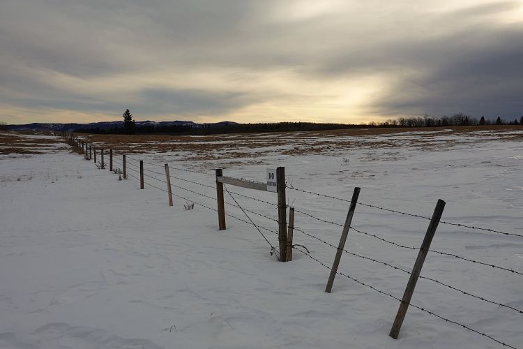
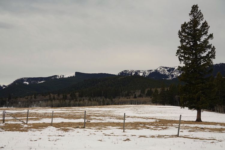
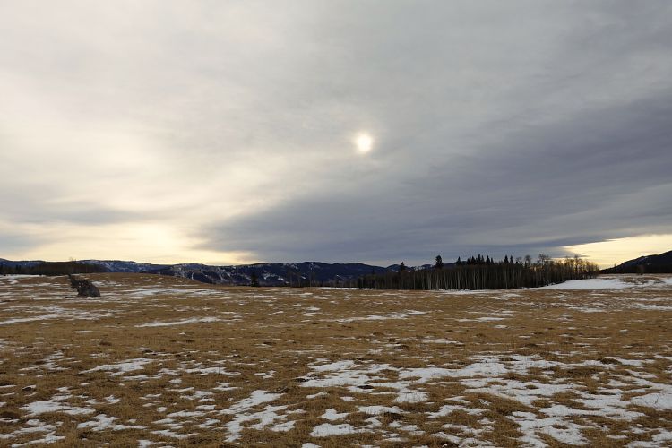
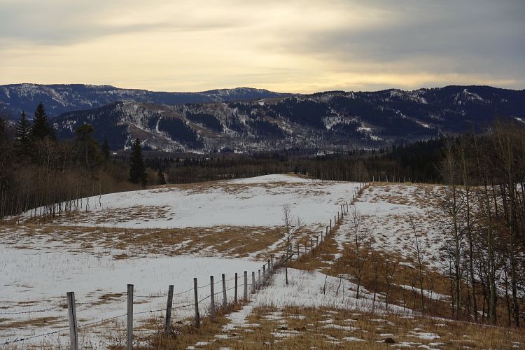
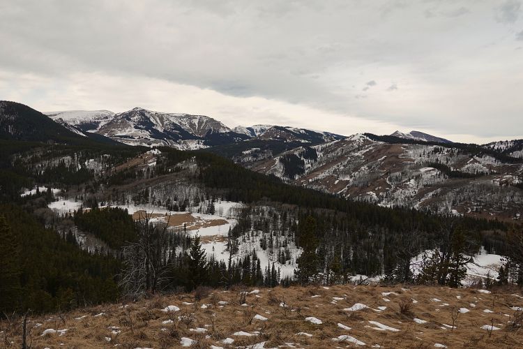
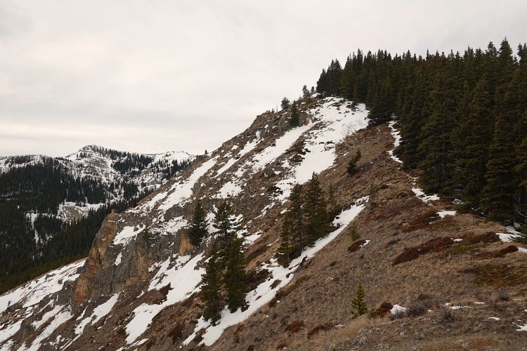
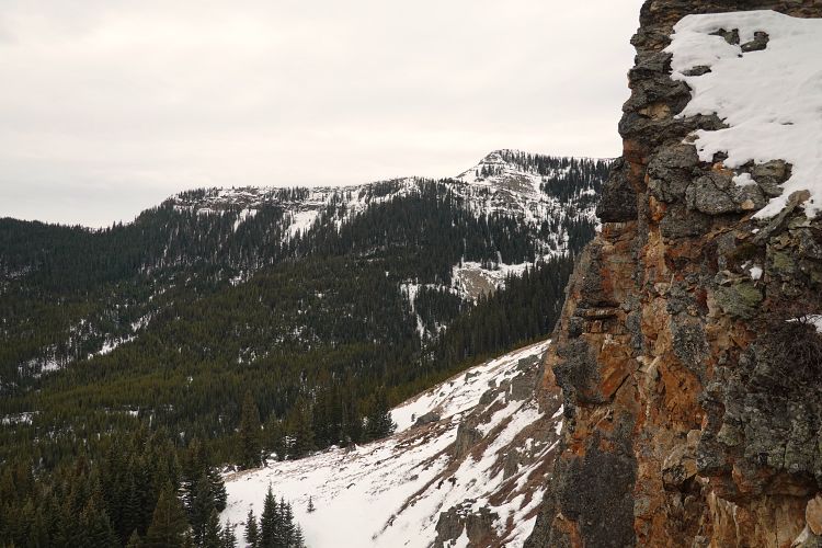
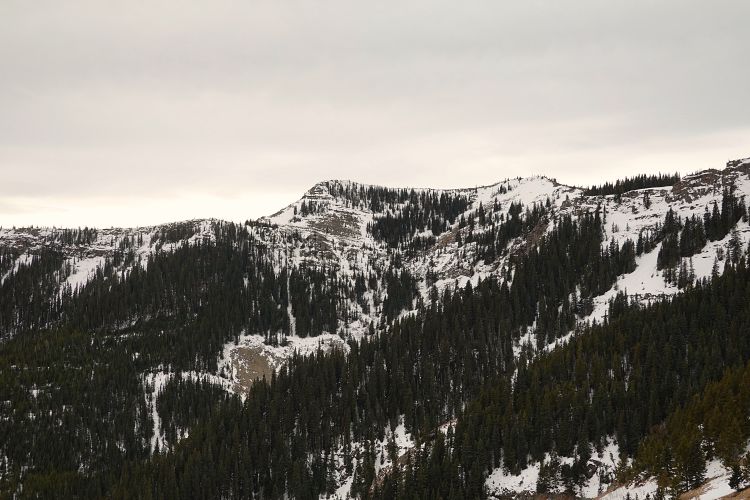
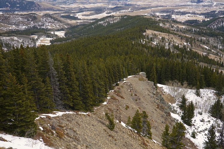
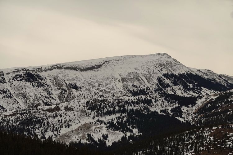
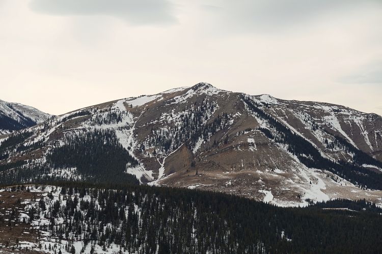
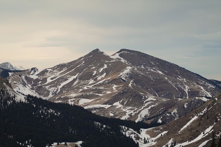
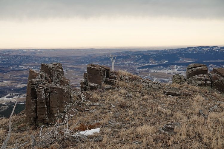
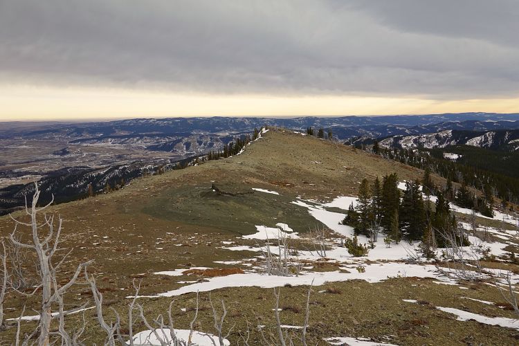
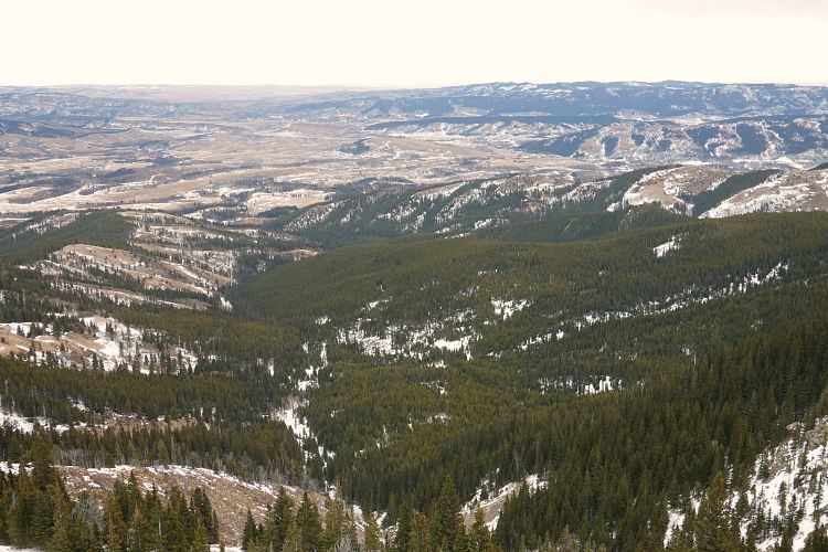
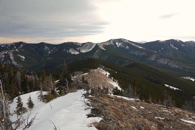
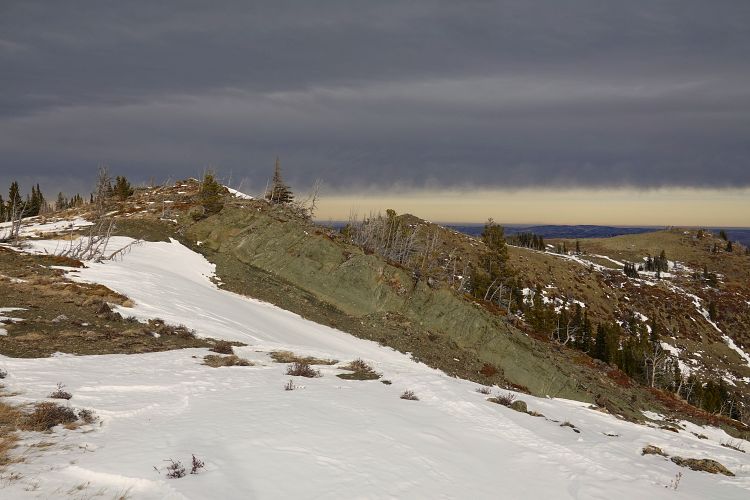
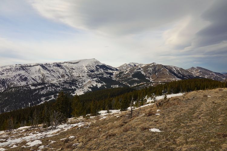
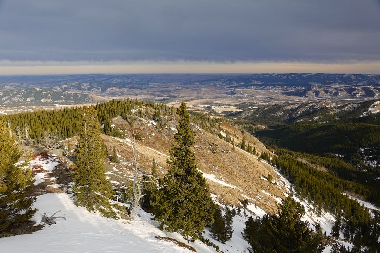
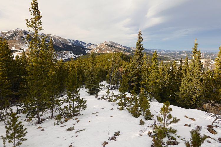
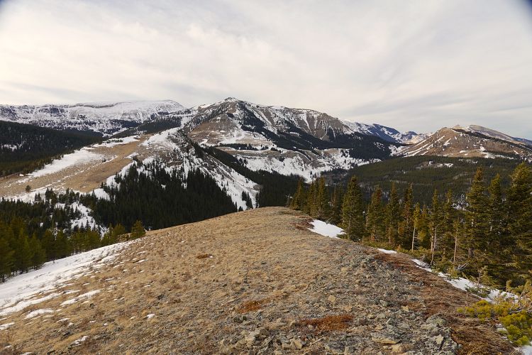
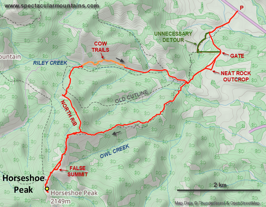
On the approach up the valley I ended up at a new fence. I didn’t want to jump it because A) the local landowners don’t like it, and B) I didn’t want to risk ripping my pants. So I had to make a big detour in the wrong direction through deepish snow to find the first gate where I continued to the NE ridge. There were more little ups and downs here than expected, the views were mediocre, and much of it was in the forest. When I finally got to the summit ridge at least I had some decent views of the backside of Coffin Mountain and Sheep Mountain. After hitting the first and more prominent high point I had to wade through some deep snow in a short stretch of forest to get to the uninspiring true summit further SW.
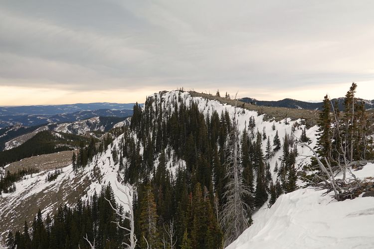
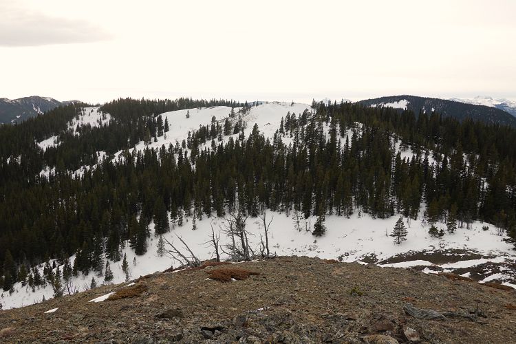
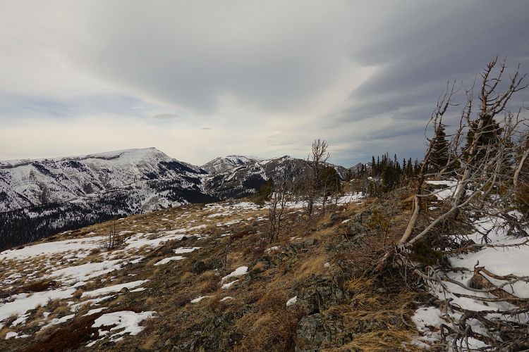
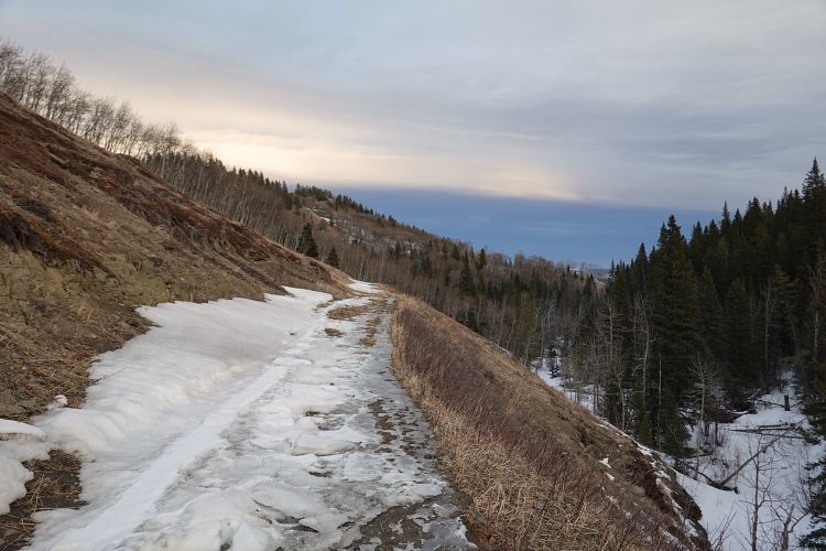
I wanted to switch things up a bit for the return and decided to head down a northerly rib, then head back east along Riley Creek valley. Not a great idea in wintertime! Lots of snow here, too, so I couldn’t use any of the cutlines or old tracks in the forest and had to partially use cow trails on open hillsides instead.
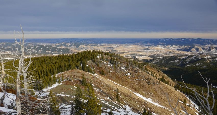
All in all a good winter workout in a completely uncrowded area, but with too much snow and subpar views.
|
Elevation: |
2138 m |
|
Elevation gain: |
1200 m |
|
Time: |
8.5 h |
|
Distance: |
18.6 km |
|
Difficulty level: |
Easy (Kane), T2 (SAC) |
|
Reference: |
Spirko & own routefinding |
|
Personal rating: |
2 (out of 5) |
NOTE: This GPX track is for personal use only. Commercial use/re-use or publication of this track on printed or digital media including but not limited to platforms, apps and websites such as AllTrails, Gaia, and OSM, requires written permission.
DISCLAIMER: Use at your own risk for general guidance only! Do not follow this GPX track blindly but use your own judgement in assessing terrain and choosing the safest route. Please read the full disclaimer here.