Kananaskis, AB, Canada
12 October 2019
Solo
Boring forest hike with very limited views
Missinglink Mountain wasn’t my most exciting outing this year, but I wasn’t really expecting much. I was feeling pretty lazy when I got up this Saturday and wasn’t going to do anything at first. Then I looked outside – stunning blue skies as far as the eye could see – and I knew I just had to go for at least a short hike!
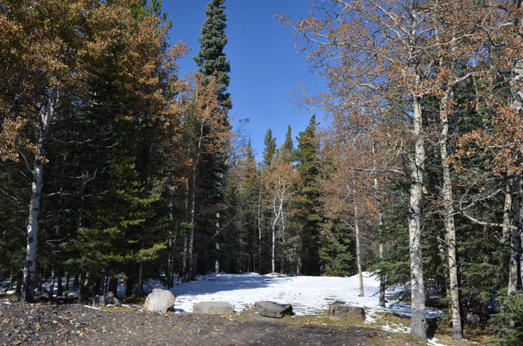
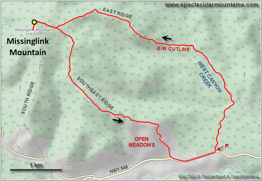
It only took me about an hour and 10 minutes to drive to Sheep Provincial Park from Calgary. There are multiple routes up Missinglink Mountain, the most popular perhaps being the south ridge approach described by Bob Spirko. I felt like expanding my trip a little, so I chose a counter-clockwise loop route based on tours #21B and #21A in Gillean Daffern’s K-Country guidebook vol. 4.
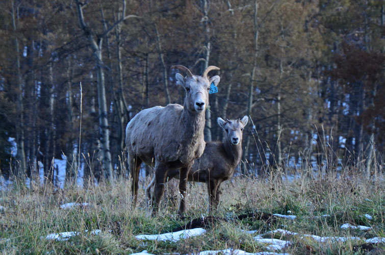
Given that most of the bigger objectives in the mountains were basically off-limits due to the vast amounts of snow that have accumulated over the past couple of weeks, I was expecting to see other people or at least find tracks from hikers that had gone up before me. Not today! I didn’t see a single person the whole afternoon and only found some horse tracks at the beginning on the trail to West Canyon Creek.
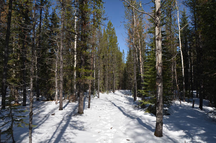
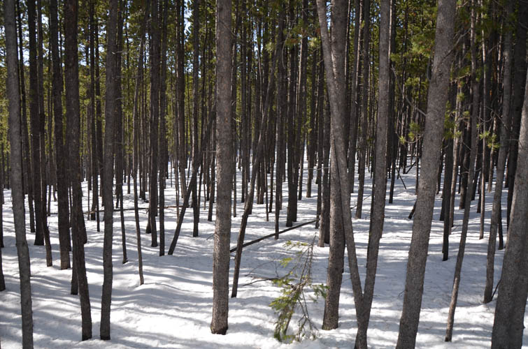
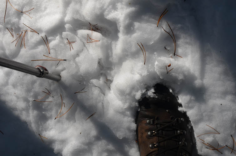
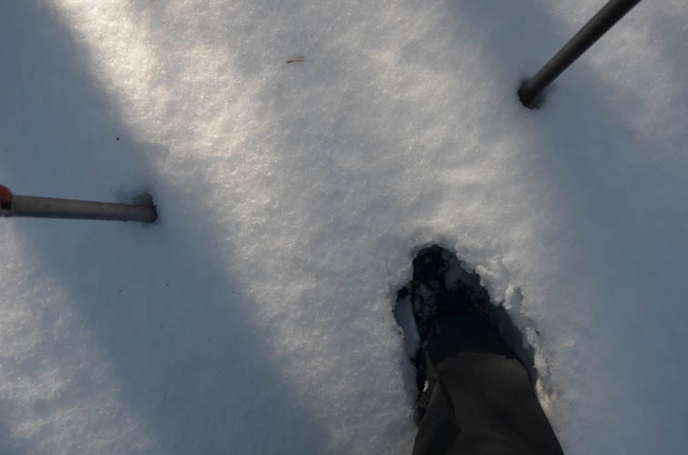
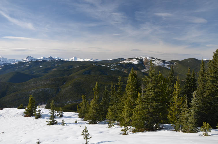
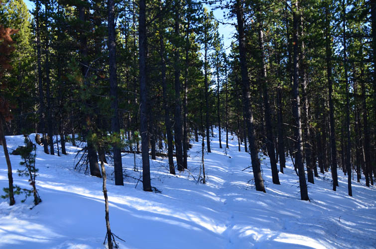
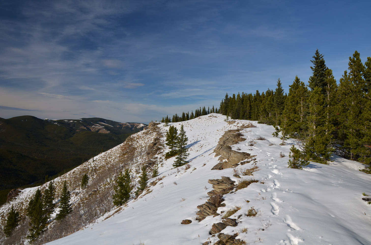
Following Daffern’s description I turned left on an E-W cutline, crossed the creek, and tried to follow the cutline that steadily rises up an incline in a westerly direction. “Tried” because there was significantly more snow that had built up on the cutline itself, so it was actually much easier to hike through the trees next to it where the snow cover was thinner. The good thing about the area here is that the forest is generally light so you can pretty much hike almost anywhere. Eventually, I left the cutline altogether, aiming right towards the crest of Missinglink’s gentle east ridge. Sporadic clearings provided some distraction from the otherwise monotonous trudge through pine forest on the undulating ridge. As expected, the snow got deeper as I climbed higher, slowing me down and making this a pretty decent postholing workout. While snowshoes would’ve helped, it never got more than calf-deep so it was manageable albeit not exactly pleasant.
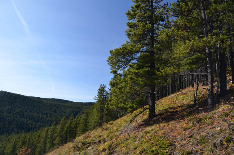
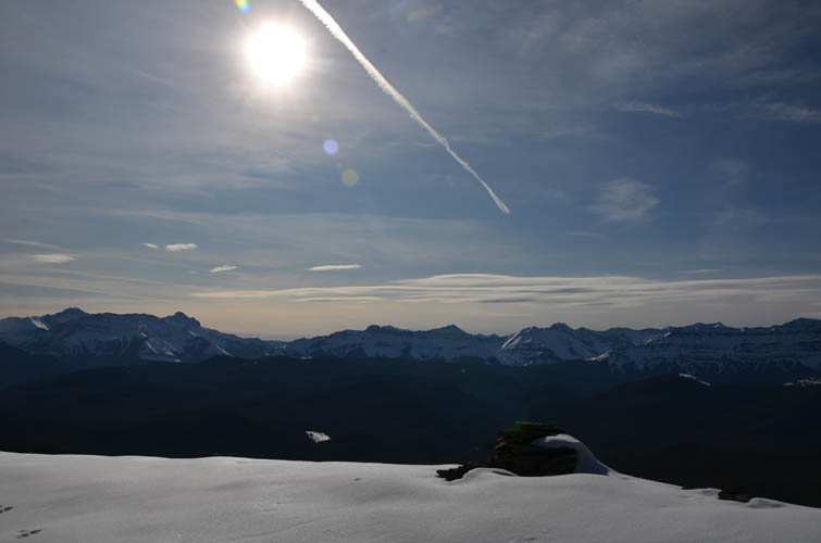
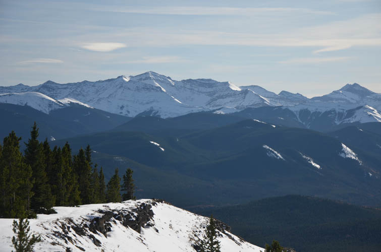
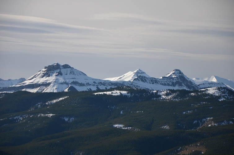
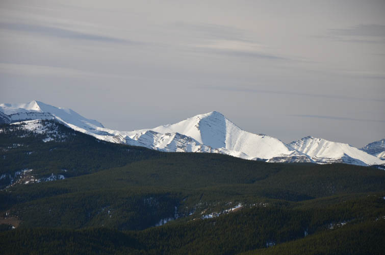
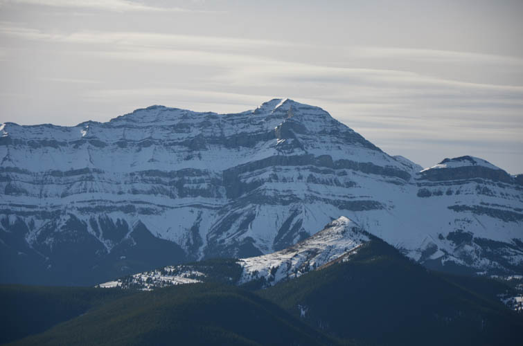
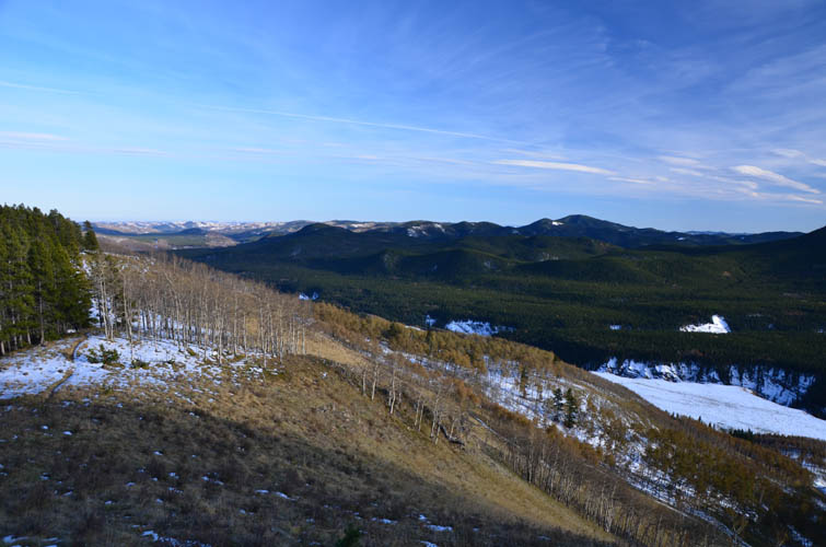
The small summit cairn popped up quite abruptly in front of me as I came out of the trees to the escarpment at the top, with a beautiful mountain panorama behind. The first (and only) real views of the whole trip! This is definitely a great spot to marvel at bigger Front Range peaks such as Junction Mountain, Shunga-la-she, Mount Burns East Peak, Bluerock Mountain, Mount Rose, and Threepoint Mountain, to name just the big ones.
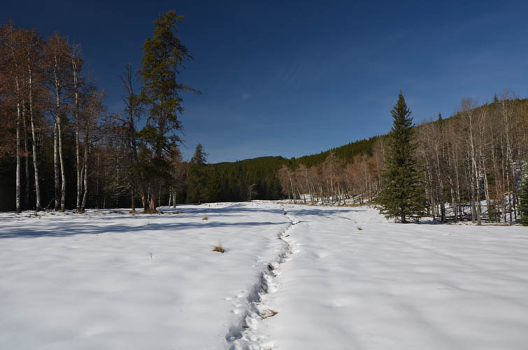
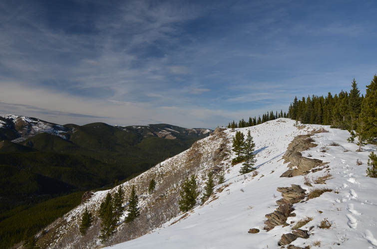
On my way back I backtracked a little and then followed the equally forested SE ridge that has an intermittent trail on it. Most of the time I couldn’t see if I was on the trail, but sticking roughly to the top of the ridge or slightly to skier’s right worked well. At the end of the ridge a wide slope of open meadows provided a convenient and fast descent down to the road, which I followed for another km back to my car.
Note: With all the snow around I couldn’t see any of the trails that may exist on the ridges and in the forest, so the GPS track below may not represent the most efficient route to take in the summer. It basically represents the line of least resistance and worked well for me in today’s conditions.
|
Elevation: |
1924 m (my GPS) |
|
Elevation gain: |
570 m |
|
Time: |
4.5 h |
|
Distance: |
11.9 km |
|
Difficulty level: |
Easy (Kane), T1/T2 (SAC) |
|
Comments: |
The open slopes at the end of my trip are the only potential avalanche slopes. The rest of this route is almost entirely in the trees. |
|
Reference: |
Daffern |
|
Personal rating: |
1 (out of 5) |
NOTE: This GPX track is for personal use only. Commercial use/re-use or publication of this track on printed or digital media including but not limited to platforms, apps and websites such as AllTrails, Gaia, and OSM, requires written permission.
DISCLAIMER: Use at your own risk for general guidance only! Do not follow this GPX track blindly but use your own judgement in assessing terrain and choosing the safest route. Please read the full disclaimer here.