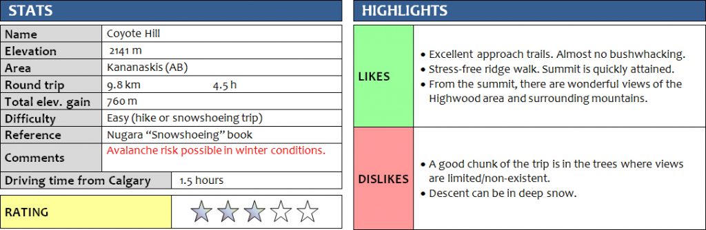
20 February 2017
With Trevor
This was a really short but enjoyable winter hike. We brought our snowshoes, but ended up not using them at all, thanks in part due to existing tracks from a previous party.
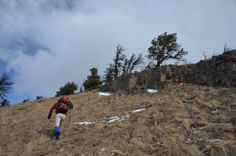
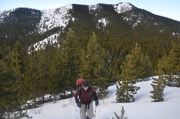
Baril Creek Trail was well packed and provided a quick way to access the south side of Coyote Hills. The only obstacle today was a short stint of light bushwhacking and stepping through knee-deep snow where we left the trail and crossed Baril Creek (mostly frozen over) to the north. After this, we easily hiked up open grassy slopes to gain the south ridge, which rises gently all the way to the summit. There are really no problems on this ridge, it’s pretty much just a pleasant hike and we were surprised how quickly we reached the summit.
On a sunny day like this, gorgeous views can be had of the Highwood area to the north, including Mist Mountain, Mount Head and Holy Cross Mountain. And of course, Mount Armstrong’s big bulwark-like shape is hard to ignore on the western horizon.
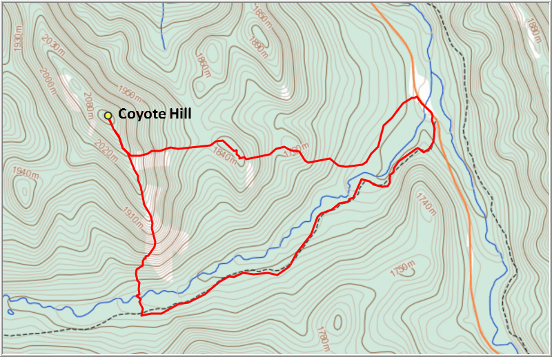
I love loop routes, so to make a circle out of today’s trip we backtracked about 400 m, then made a sharp left turn to the east and headed down open snow slopes parallel to the trees, just as described in Nugara’s Snowshoeing book. Fortunately for us, we discovered some old snowshoe tracks in the deep snow here that allowed us to simply hike down in our boots. After going up and over a couple of minor bumps, we descended through light forest back down to a packed trail on the north side of Baril Creek. This good trail led us to a small pull-out at the road from where we walked the few hundred metres back to our car.
We were glad we chose a clockwise loop for this trip, because it allowed us to hike up the snow-free south slopes first, then quickly descend snow slopes on the eastern side. It also meant that we had the sun in our backs most of the way instead of staring right into it. All in all, Coyote Hills was a nice and easy winter hike with surprisingly good views.
DISCLAIMER: Use at your own risk for general guidance only! Do not follow this GPX track blindly but use your own judgement in assessing terrain and choosing the safest route.
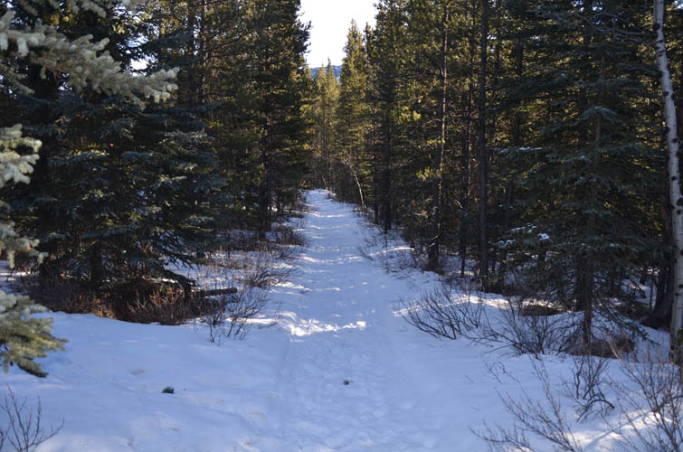
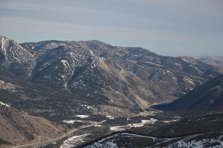
Baril Creek Trail
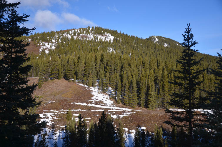
The gentle south ridge of Coyote Hills. We hiked up open slopes just to the left of the photo.
Hard to believe this is in the middle of February!
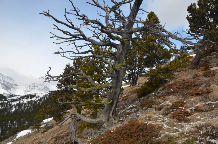
Surreal-looking trees along the lower section of the ridge.
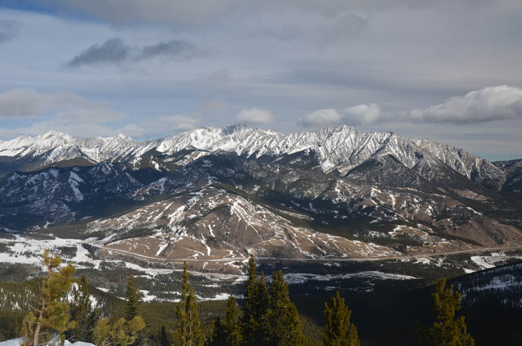
Half-way up the ridge, looking back down at Baril Creek Trail in the valley below.
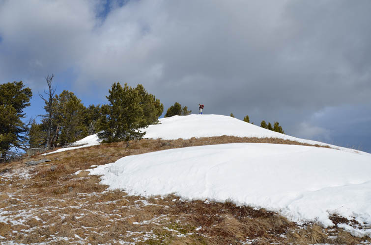
Trevor stands on a snow bump along the south ridge.
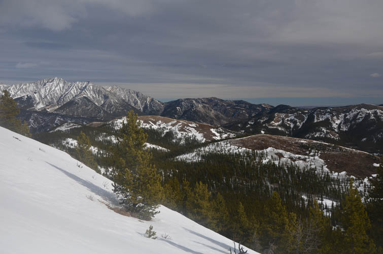
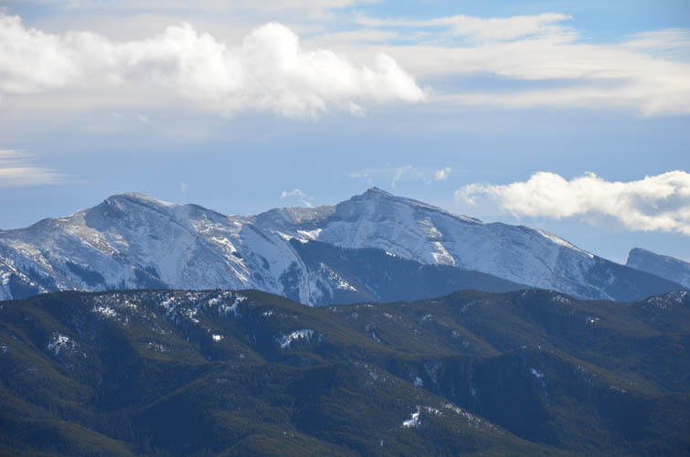
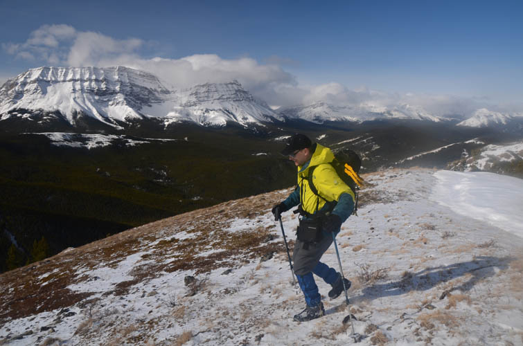
Great views open up as we gain elevation. To the left is Holy Cross Mountain. The north end of Hell’s Ridge can be seen on far right.
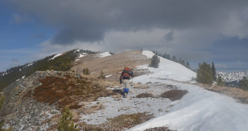
Nearing the summit.
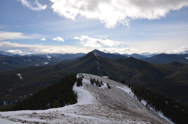
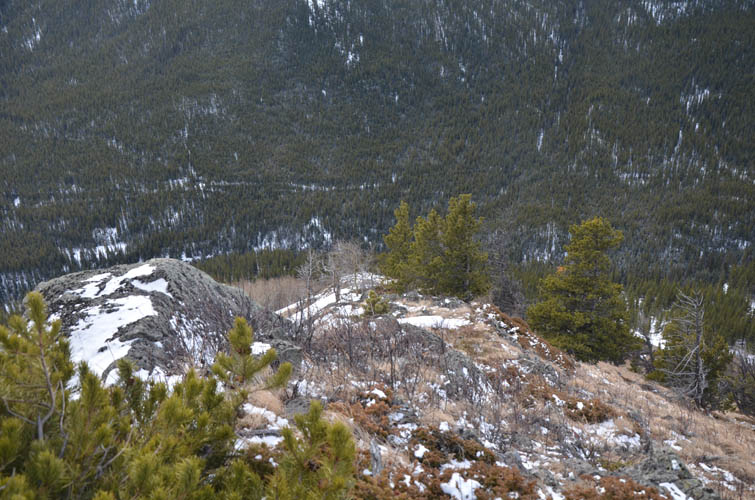
Looking back down the south ridge with Etherington-Baril Ridge (Three Cairns) behind, a forested hill that is also an easy and short hike.
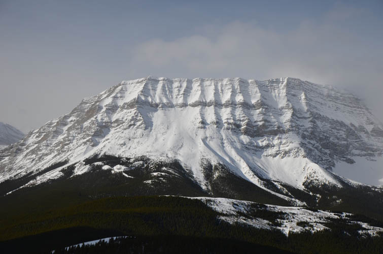
Mount Burke. There is a fire lookout and weather station on top.

To the west lies Baril Peak.
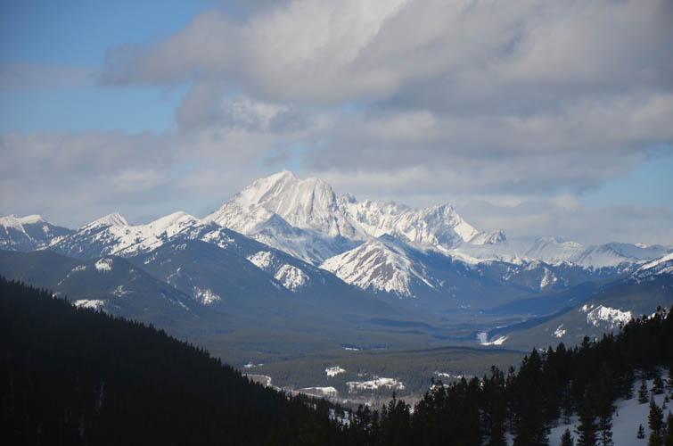
And the mighty Mount Armstrong.
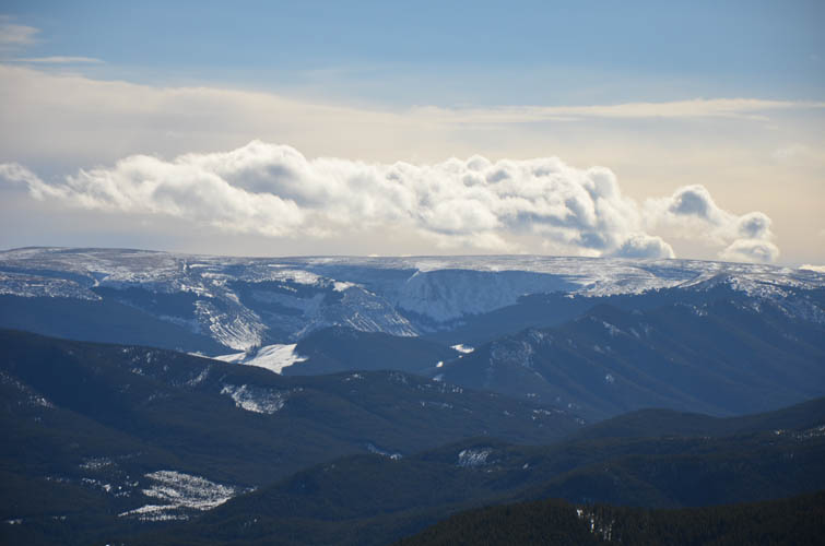
The flat, elongated topography of Plateau Mountain to the SE reminds me of Well Site Mountain in the Ya Ha Tinda area.
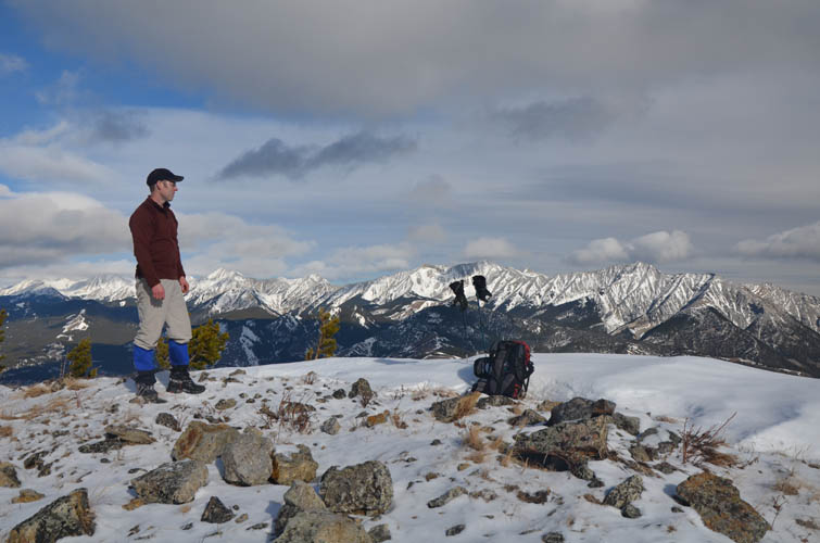
Trevor enjoying fabulous views from the summit of Coyote Hills.
Junction Hill, Mount Head, and Holy Cross Mountain.
Heading back down. Those snowshoes were just extra weights today!
Descent down the E slopes. Hell’s Ridge in the background.
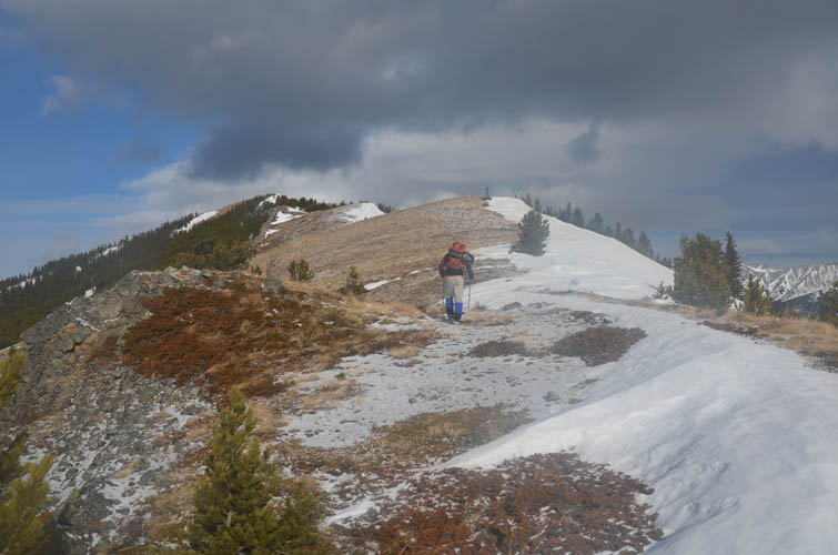
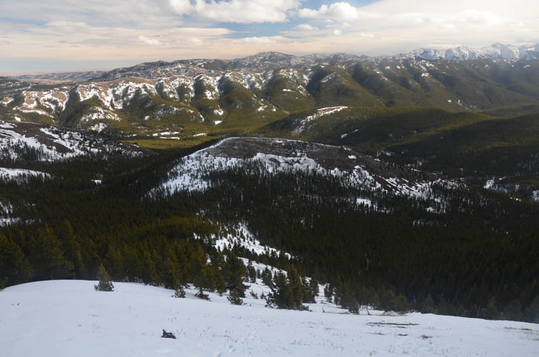
Trevor coming back up the first minor bump on descent. The summit of Coyote Hills can be seen on far right. From there we hiked downhill at the right end of the large snow slope in the left of the photo.
On our way down, we catch a brief glimpse of Mist Mountain to the north.
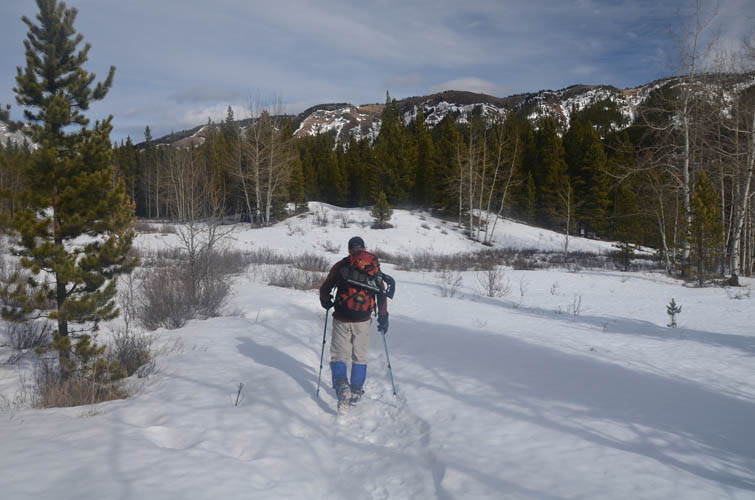
Back on a packed trail in the valley.