Anatolia, Turkey
15 October 2018
With Wen
Volcano hiking in Anatolia
Warning: As of October 2018, the area around these two mountains and beyond is officially a restricted military zone that’s off-limits to visitors as is the case with many other mountainous regions of eastern Turkey. We were initially not aware of this and, since there are no checkpoints or warning signs, were able to drive into the area and camp undetected for three days before running into Turkish soldiers who escorted us out. Apparently the PKK is active here (Kurdistan Workers’ Party, an outlawed Kurdish militant and political group considered a terrorist organization by the international community) and the Turkish military regularly conducts training exercises and patrols. Full story in Delikkaya Dağı trip report.
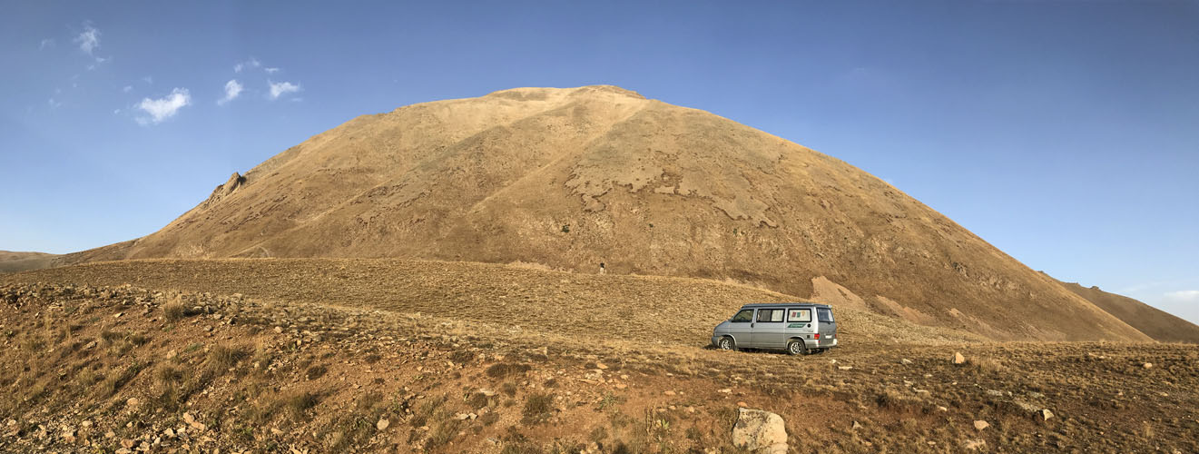
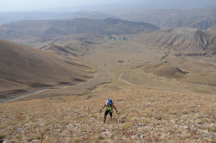
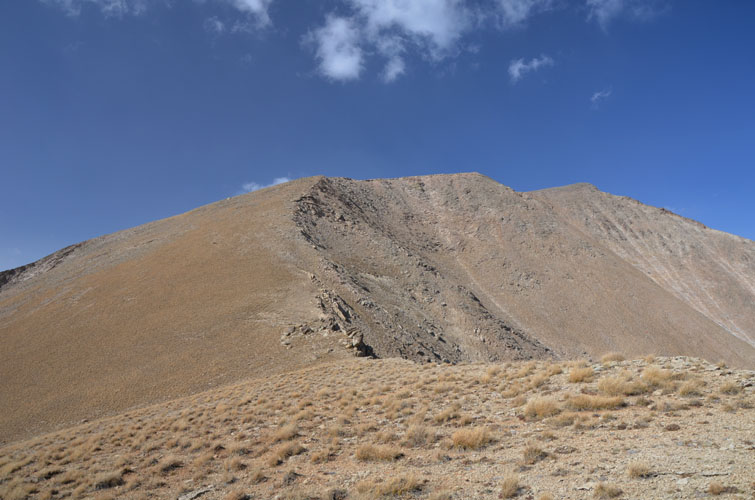
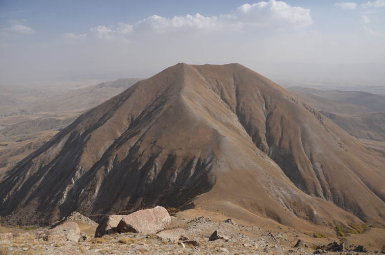
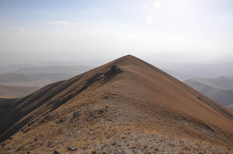
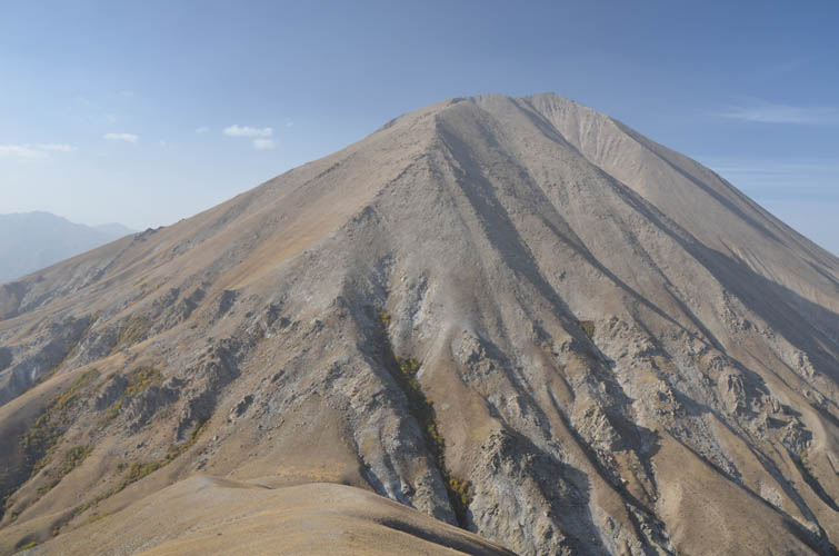
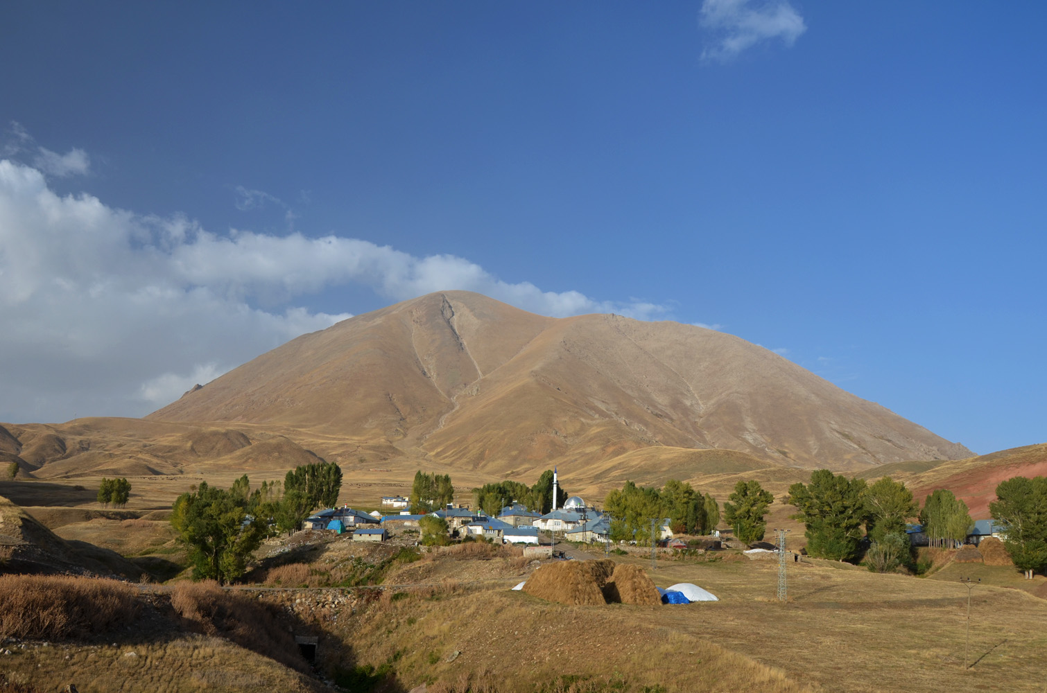
This is probably the easiest 3000er I’ve ever ascended. There are no trails on this mountain and on neighboring Küçük Kösedağ, not even animal trails, but you can walk up pretty much anywhere. The pair represent two old, long-extinct volcanic cones. Weathered volcanic rocks mixed with grassy patches cover the fairly gentle slopes that are interrupted by jagged gendarmes and ribs only in a few spots. Köse Dağı, or Mount Köse in English, is also referred to as Büyükköse Dağı on some maps meaning “Big Mount Köse”, while Küçük Kösedağ simply means “Little Mount Köse”.
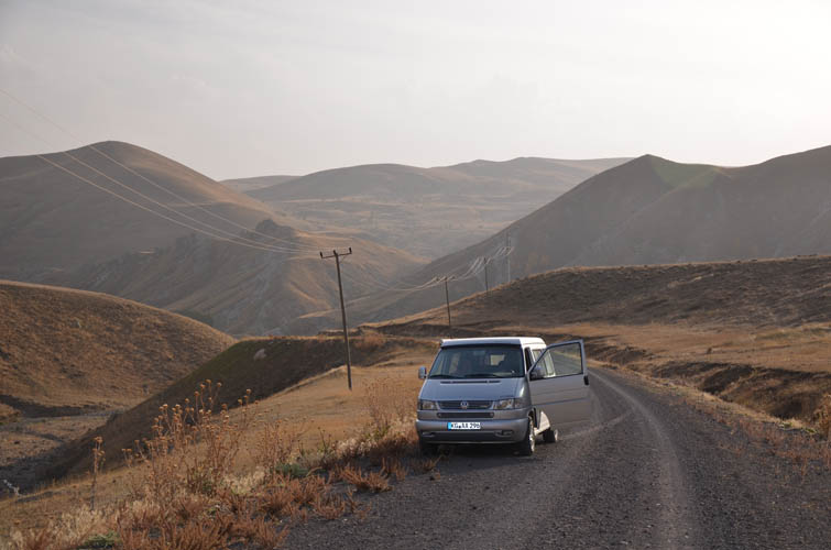
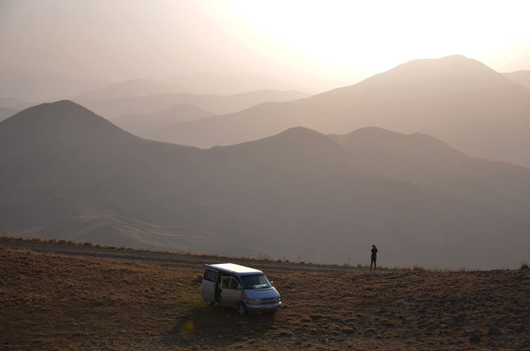
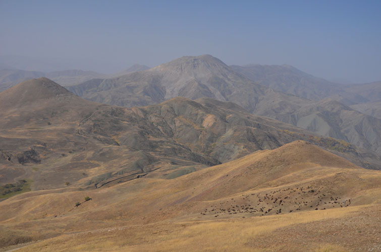
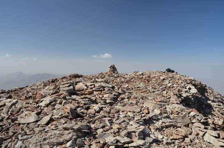
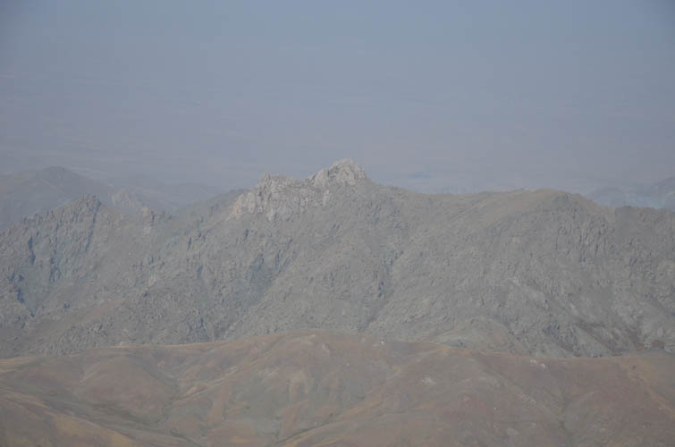
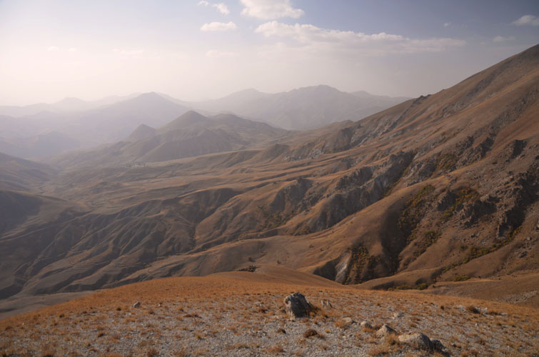
We found a terrific camping spot in a nice flat patch of grass high up at 2500 m elevation (doable with a normal car). From here, it’s only about 900 elevation metres to the summit of Mount Köse. It’s a bit of a tedious slog up the barren slopes – no treadmill scree, but lots of square plates of rock to tramp over. Wen didn’t feel it today and at this point decided to turn back while I continued on. The landscape doesn’t offer much variety, it’s basically grey rock and brown grass all the way to the summit. The views from the top were anything but exciting – it was a really hazy day and a brown veil of dust was obscuring the sky. However, on a nice clear day I can imagine the vistas would probably be quite attractive – this is the highest mountain in the region after all.
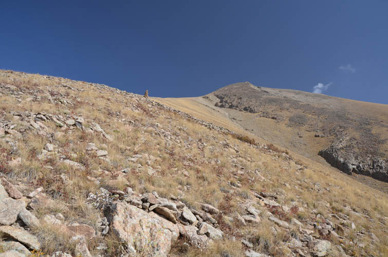
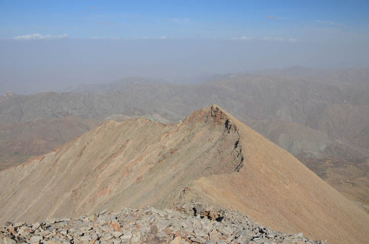
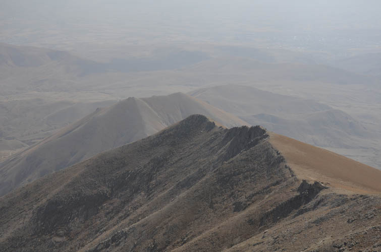
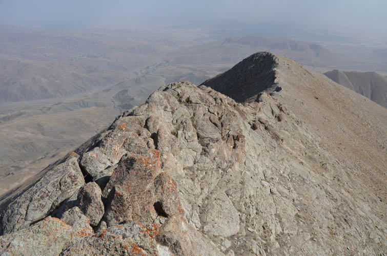
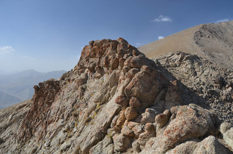
Küçük Kösedağ, the smaller brother of Mount Köse, can be easily added on but this almost doubles the elevation gain and distance. To get there, I took the south ridge of Mount Köse which is slightly more interesting, especially a short section of narrow ridge in the upper part where the rock is entirely different, reminiscent of pillows stacked on top of each other. It’s fun to scramble the ridge crest here (moderate to difficult), but the section can be easily avoided by going around the right (west).
A mixture of scree and rocky terrain leads down to the col between the two peaks. Küçük Kösedağ is an easy hike on very gentle, grass-covered slopes that can be ascended/descended almost anywhere. I found the unmarked east summit to be slightly higher (5 m to be exact!) than the cairned west summit.
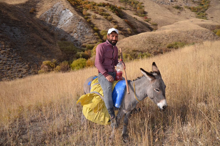
On my way back to our camp site I ran into a shepherd on a donkey who was looking after his sheep. He seemed surprised to see me stroll around alone and asked what I was doing here. When I explained I was simply a visitor enjoying the landscape of his backyard, he was thrilled and offered me some rose hips he had collected in the meadows below. He even showed me how to eat them: crack them open with your teeth, spit out the seeds, and then chew on the skin. It’s very tart with only a hint of sweetness – admittedly an acquired taste! I filled up my camel bag in the small creek nearby, well away and upstream from where the animals were grazing. Although the farmer assured me the water was clean and good to drink, it’s obviously always safer to use a filter in places like this.
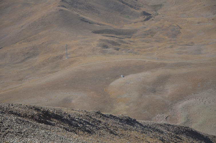
To get back to the car, I hiked over a rolling expanse of meadows intersected by dried-out creek beds, eventually reaching the dirt road again that we had driven up the day before. The landscape here may be barren and dry, but it does have its own charm and I loved how peaceful and quiet the area is.

| Elevation: | Köse Dağı: 3430 m (official), 3426 m (my GPS) |
| Küçük Kösedağ: 2679 m (my GPS) | |
| Elevation gain: | 1540 m |
| Time: | 7 h |
| Distance: | 12.2 km |
| Difficulty level: | Easy (Kane), T3 (SAC) |
| Reference: | No route information was available to us prior to trip |
| Personal rating: | 2 (out of 5) |
DISCLAIMER: Use at your own risk for general guidance only! Do not follow this GPX track blindly but use your own judgement in assessing terrain and choosing the safest route.