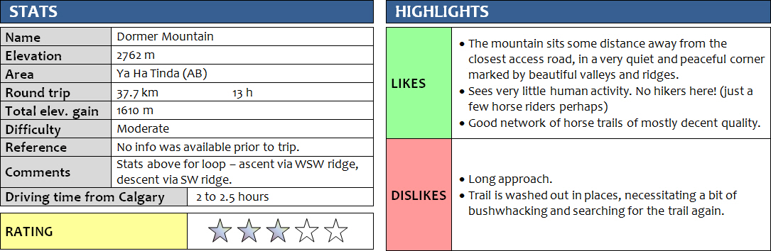
14 September 2016
Solo
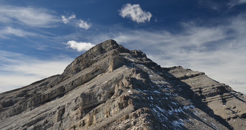
Dormer Mountain can be seen from many peaks in the Ya Ha Tinda area and its steep east face is easily recognizable, making this a prominent landmark but one that is very rarely ascended. I could not find any route information or previous trip reports, which of course sometimes is part of the appeal for setting out and exploring a route yourself. After researching the terrain and plotting a potential route on Google Earth, I concluded that it should be easily doable as a day trip with a total return distance of around 30 km. However, this was under the assumption that no raging rivers or thick bush was in my way and that trails or at least open terrain would allow for smooth hiking on the approach. In the end, all of my assumptions turned out to be correct, except for one: with all the curves and zig-zags, my route ended up being almost 40 km in length. Still, I made it to the summit and back again – safely and with a huge sense of enjoyment while I was out there, and of course that’s what counts!
I’ve done quite a few trips recently where the day really didn’t start out very well, to the point where I would be in serious doubt for the first half of my hike whether I could reach the summit at all. Dormer Mountain was just like that. After inquiring at a lodge on Panther Road where the best place to cross the river would be, I ended up parking in the wrong spot and wasted my first hour bushwhacking along the river bank trying to find the recommended place to ford. I eventually ended back on the road near where I parked and then walked a few hundred metres further west to where a wide trail went into the river and resurfaced on the other side – certainly the obvious place for the river crossing! Water levels were surprisingly high – up to my thighs – and I was glad I had brought old sneakers to quickly get this painful crossing behind me.
The wide trail on the other side had tire marks in the mud, which baffled me at first but later I realized that this whole area is quite popular for trail riding. There is indeed an excellent network of horse wagon trails here, sometimes with brand-new signs pointing the way and even indicating distances to various points of interest. The main trail soon abruptly ended in the river, so I hiked up a steep grassy slope back into the forest where I intersected a good horse trail which I followed for a good while. There were multiple other trails that joined or forked off the trail I was on, but I stuck to what looked like the most well-trodden path and it seemed to work out according to my pre-mapped route. I was mostly in the trees, with short grassy clearings here and there. After a couple of hours, I started hearing a strange noise… something was beeping and humming… it sounded just like some sort of machine. Very strange out here in the middle of nowhere (I hadn’t run into anyone else so far). Suddenly, my narrow horse trail morphed into a wide, flattened road with grooves imprinted by a caterpillar. Some minutes later I came across two guys working their diggers in the middle of the forest: a new horse wagon trail was being built right in front of me! And they were almost done: only a short 200 m section remained before the trail would end at the river, as they told me. I wondered where this new road originated; clearly they must’ve moved their heavy equipment across a bridge somewhere. I was told that this new road indeed started not far from where I parked my car, where a temporary bridge had been set up. Now here’s an easy return I thought!
I was now at the point where the Panther River makes a sharp bend around a corner and then leads north through a gap between two ridges before turning west again. The old horse wagon trail that links up with the new one simply crosses the river, which is quite shallow here. Not wanting to get my feet wet again, I stuck to the edge of the river until a steep rocky cliff forced me to scramble up through the trees. Fortunately, there was a faint trail that nicely led to the other side of the gap and joined the wagon trail again. [I have taken this faint trail many times over the years since this trip and it has gradually become more distinct, if only slightly.]
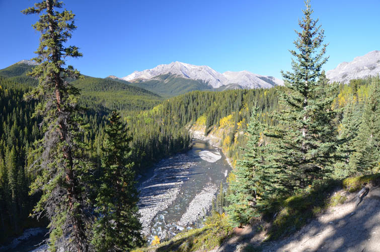
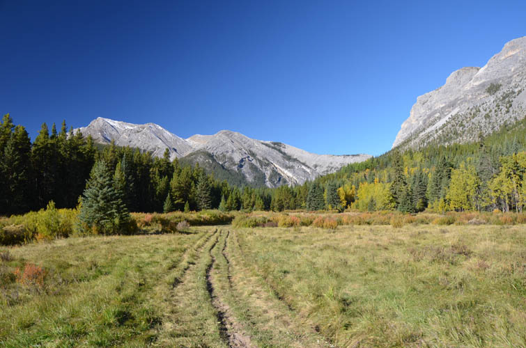
The valley I entered was wide and open, filled with gently rolling meadows and flanked by rounded grassy ridges and patches of spruce and larches here and there. This really is a lovely place for hiking, so peaceful and quiet, with no one around, yet a good network of tracks and trails to explore. I came across several camps as I went along, some quite basic and apparently for public use, some well-equipped with large canvas tents and electrical fences, probably for guests of the lodges or owned by outfitters. Nobody was around. I kept heading west and eventually had to once again cross the Panther River near its confluence with the Dormer River. The water wasn’t quite as deep here, but just as chilly!
On the other side, past a small wooden cabin (the Panther River Warden Cabin), I continued along a very good horse trail along the north side of the Dormer River. Soon, however, the trail came too close to the river bank and disappeared in wash-outs. My pace slowed down accordingly as I had to circumvent these obstacles and find the best route through the trees nearby. There were relatively fresh horse tracks that I could sometimes follow, but overall I would say this isn’t a very well-frequented path.
Eventually, I made it to the base of the ascent ridge where my GPS told me to turn right (northwest) and finally start heading up the mountain. It was 2pm by now and I was in dire need of a break. After wolfing down most of my food, I started up the ridge and mentally set myself a turn-around time of 4pm for the summit. Thankfully, the forest in the lower part of the ridge was fairly light, allowing me to move quickly. Soon the trees opened up and I hiked up a very pleasant grassy slope to the start of the rocky part of the ridge. This part had some delightful scrambling in store! I stuck to the ridge crest, contouring around the right (east) side whenever my progress was blocked by cliffs. It wasn’t really surprising given the remoteness of the mountain, but I didn’t come across any cairns or markers on my route at all. At one point I had to veer quite a ways to the right to avoid a huge vertical cliff band, but found an easy way up around the corner. The last vertical 100 m or so were probably the trickiest. There were small patches of snow on the step-like terrain here but even in dry conditions this would probably be moderate scrambling. If there had been much more snow I can see this getting exponentially more difficult and riskier. It’s a steep, east-facing slope, so any good amount of snow would easily turn this into a no-go avalanche zone. Thankfully, the rock was mostly dry for me and I made it up the summit just in time – it was 4pm now. There was a large, weathered cairn covered in lichen, but I couldn’t find a register. Strangely, about 20 m below the summit itself, I saw a metal pole with a simple red sign, possibly to mark the boundary of Banff National Park.
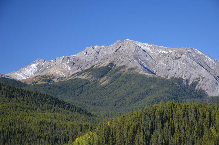
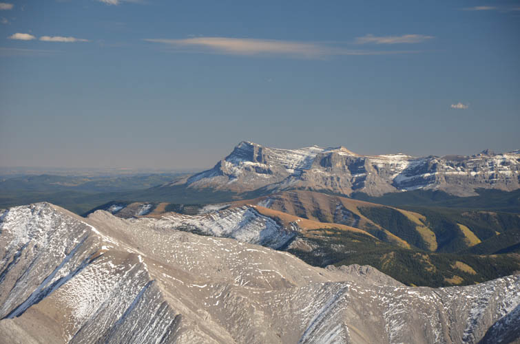
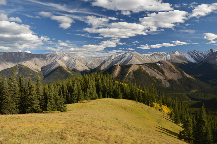
The views on this beautiful summer day were simply stunning out here. Barrier Mountain looks particularly impressive from this vantage point with its huge curved bedding forming a perfect anticline on the south side of the mountain. There are many other interesting looking peaks to the west, but I must admit I couldn’t recognize any of them!
For the descent, I briefly contemplated going straight down the east face and then following a parallel ridge to the east, but in the end I felt it was safer to simply retrace my steps. This worked out very well and I even found a short section of soft scree to slide down before entering the forest again. The way back was long but delightful. I felt a huge sense of relief for having completed the trip without a hitch, and it also felt very rewarding to have conquered the “unknown” and found a route to the summit.
By the time I crossed the “gap” again the sunlight was fading, so I decided to hike back along the new wagon trail, both because it was easier to follow in the dark and also because I was looking forward to not getting my feet wet again by using that bridge the construction workers had told me about. The new trail was indeed comfortable to hike on, but annoyingly it appeared to have quite a bit of unnecessary curves and elevation gains and losses built into it – or maybe it just felt that way after a long day of hiking! When I eventually crossed the temporary bridge and returned to my car, it was almost 10pm. A long day indeed, but worth every drop of sweat for such a rewarding adventure in this beautiful part of the Rockies!
For a detailed map of the area, including all existing trails and many possible scramble routes, see the Ya Ha Tinda & Surroundings Trail Map on Avenza (a free mapping app for offline navigation and tracking). The map is also available in print at MapTown or GearTrade.
DISCLAIMER: Use at your own risk for general guidance only! Do not follow this GPX track blindly but use your own judgement in assessing terrain and choosing the safest route.
The first ford across the Panther River. This is about 100 m from where the best place to park is (unlike the spot I picked, a km or so down the road).
From the horse trail higher up on the embankment on the other side, the river looks small and tame now.
Winchester Ridge to the west. It doesn’t look like it, but the summit is that little bump sticking out far on the left side.
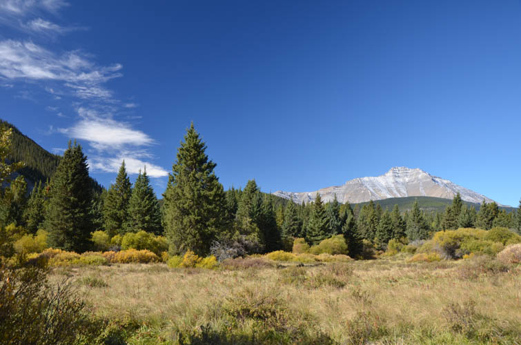
The horse trail continues through picturesque meadows.

A new wagon trail is being built right in front of me!
At the “gap”, the Panther River makes a few sharp bends and flows right by the ridge to the right. The normal wagon trail goes across the river here to the other side, then crosses again.
Around the corner through the gap, the valley opens up. In the distance is Barrier Mountain.
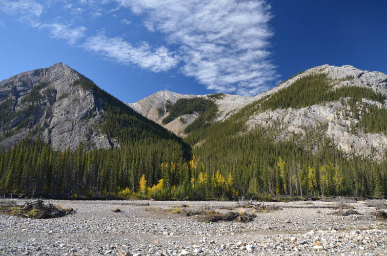
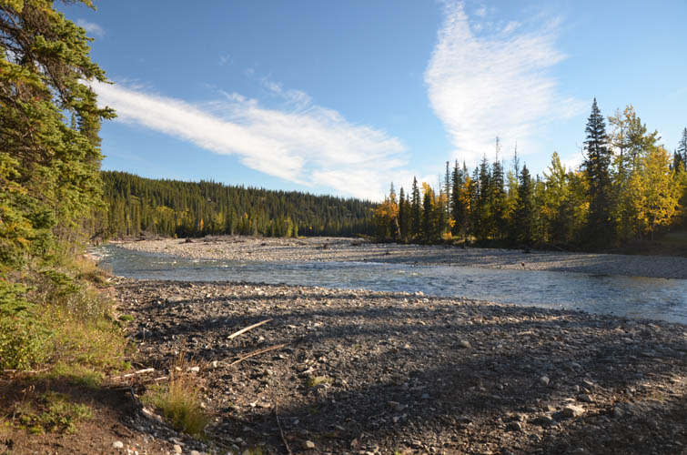
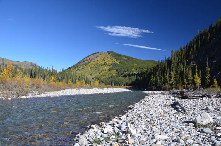
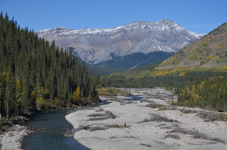
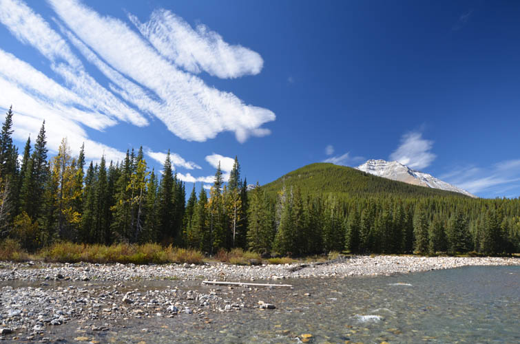
The river bed widens significantly.
Dormer Mountain finally comes into sight for the first time.
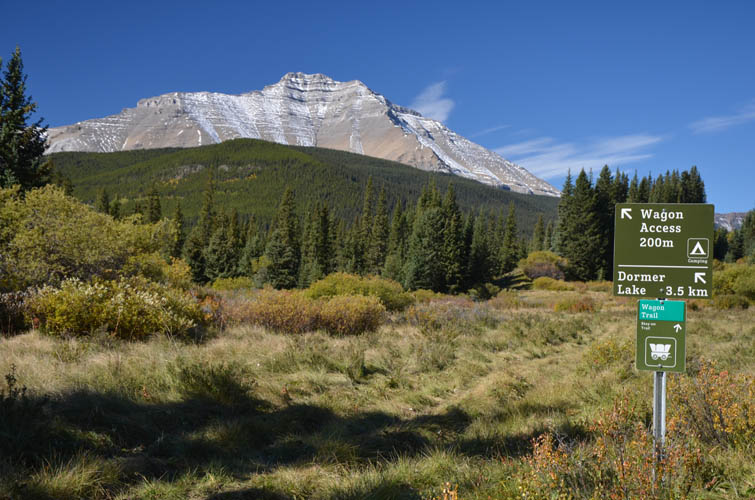
There are some pretty new looking signs for some of the wagon trails in the area.
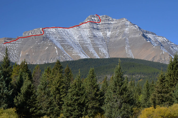
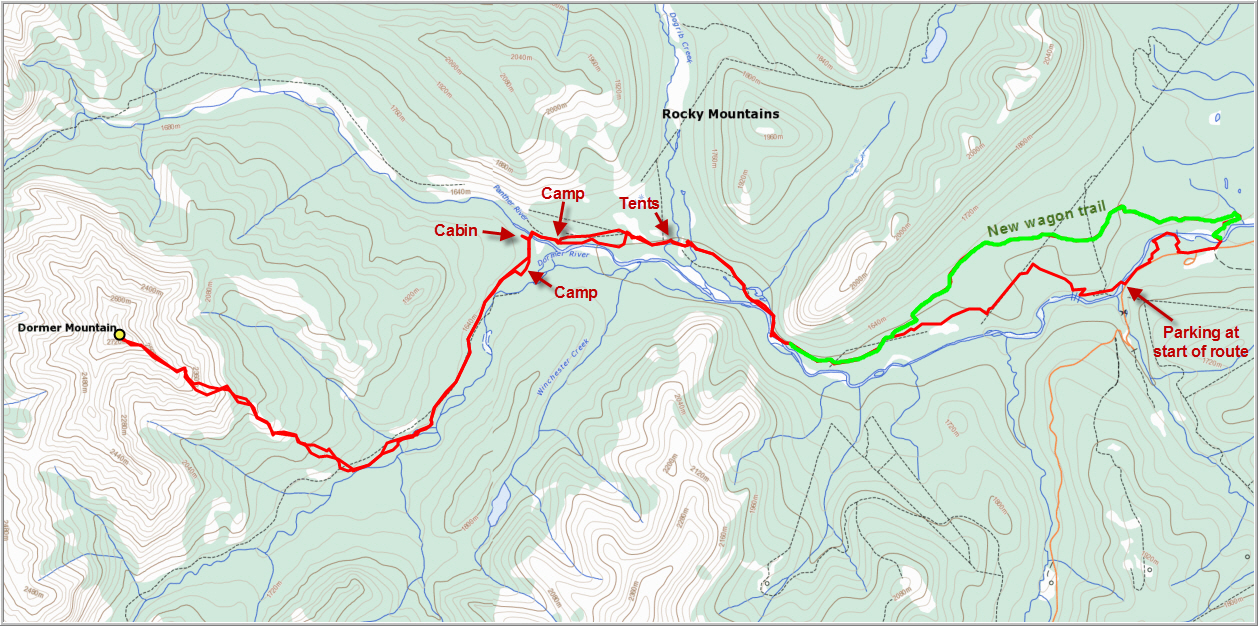
Close-up of the approximate route I took up Dormer Mountain. My ascent was via the southeast ridge, then part way up the east face.
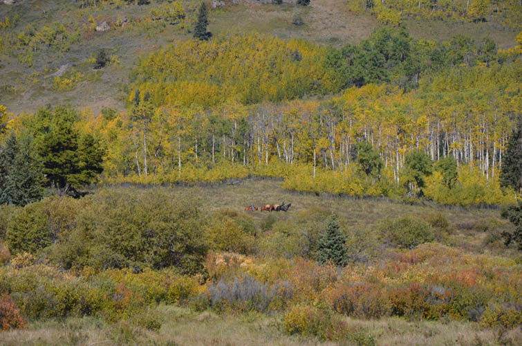
The only people I saw all day are these guys out with their horses.
The second crossing of the Panther River is near its confluence with the Dormer River. It’s a bit shallower here than the first crossing.
Typical view of the horse trail on the north side of the Dormer River.
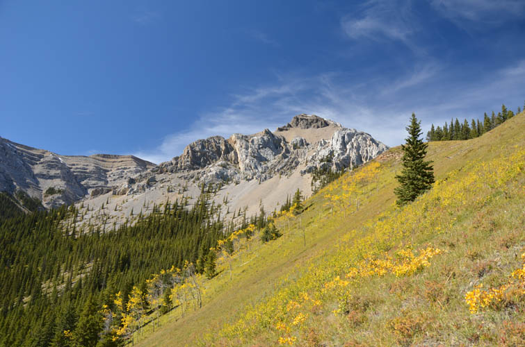
The ascent up the SE ridge starts through forest and then across these beautiful grassy slopes.
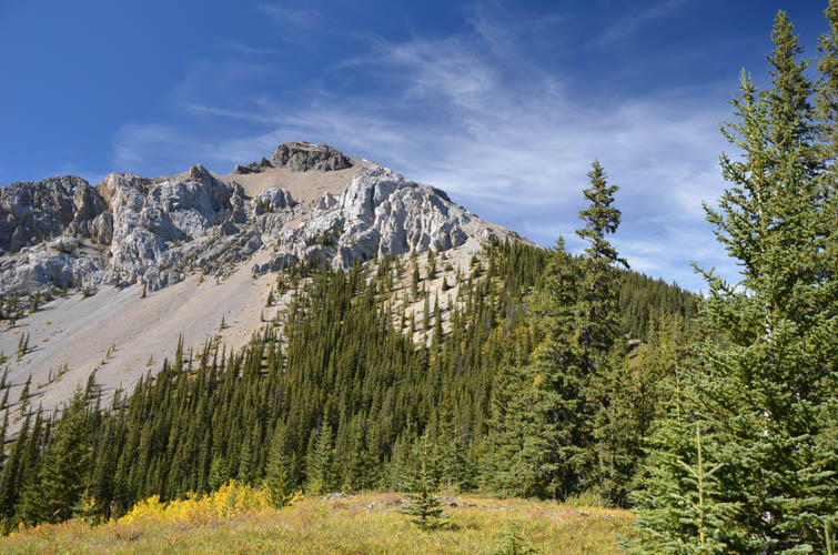
The forest is light and there is almost no bushwhacking.
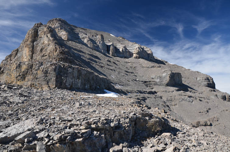
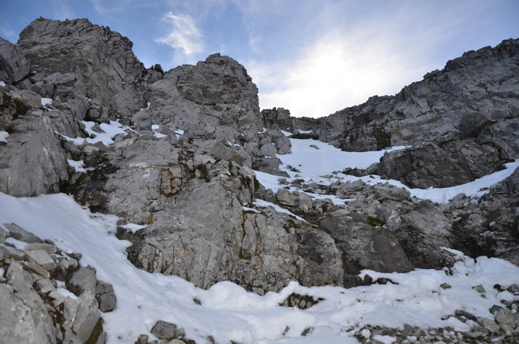
On the SE ridge. Lots of right-angled cliffs, most of which can be tackled head on or bypassed by going around the right a few steps. The upper cliff band in this photo is a major obstacle, though. It necessitates contouring all the way around the right end as seen here.
More cliff bands in the upper part of the mountain. At least the summit is in sight now!

A look back down the ridge.

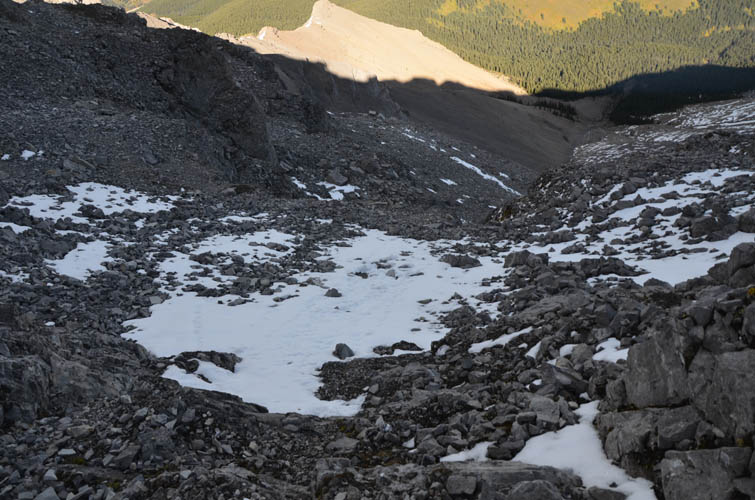
On the partially snow-covered east face. It’s much steeper here and some route finding is necessary.
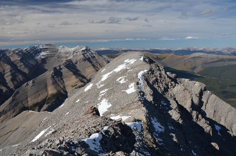
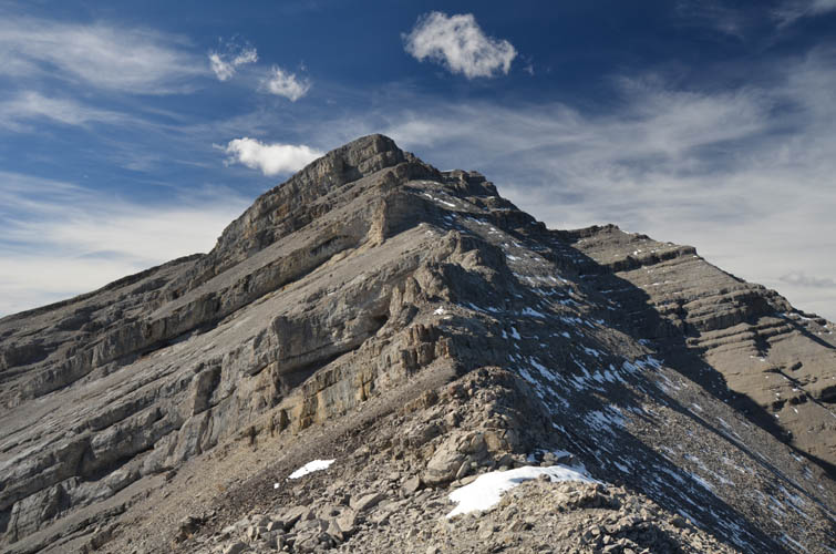
On the summit ridge.
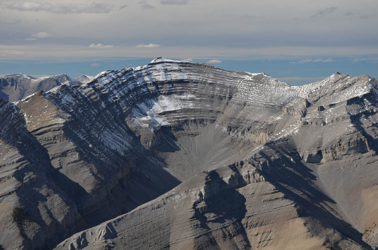
Perfectly folded strata form the summit mass of Barrier Mountain.
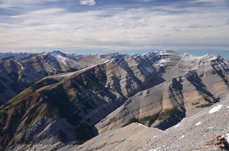
Scanning the beautiful mountainscape to the north.
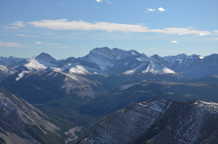
Among a sea of unknown peaks, Puma Peak is one of the bigger mountains to the southwest.
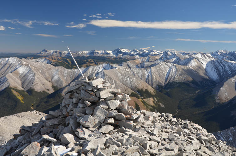
The summit cairn on Dormer Mountain.
Ghost Peak to the south.
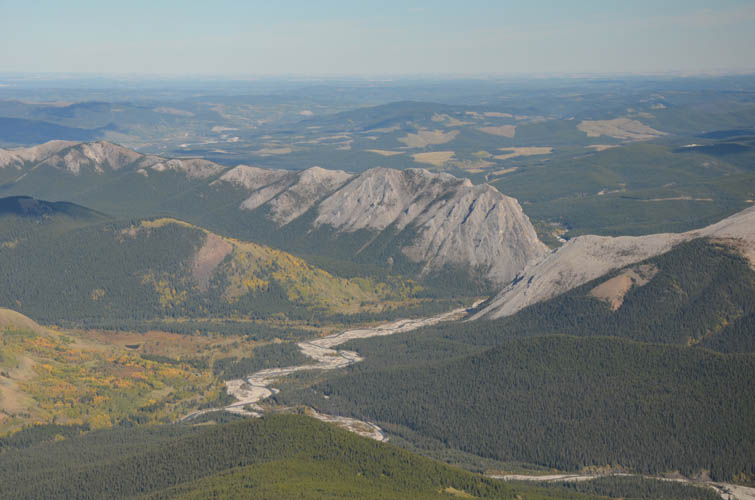
Looking back where I came from. The Panther River flows right through the gap between the ridges on the right of this photo. The long ridge on the left is referred to as The Diamond by the locals.
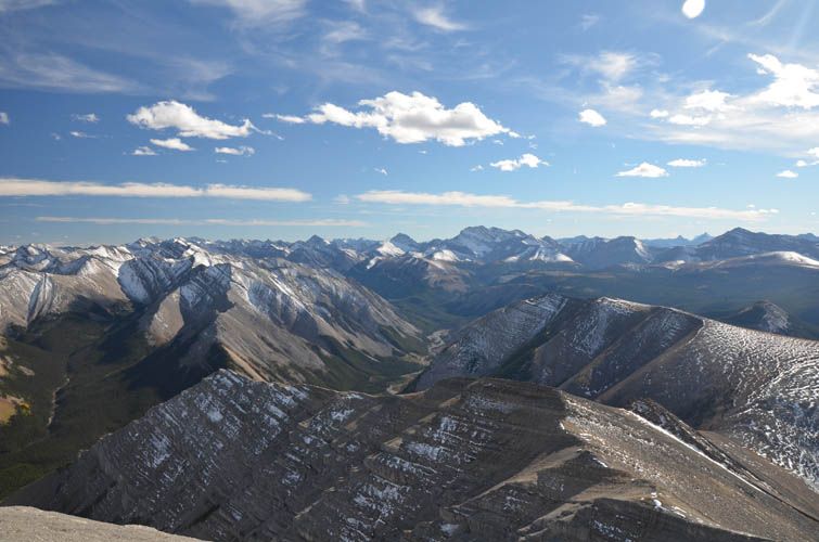
Brilliant vistas on a sunny September afternoon.
Time for a slow and careful descent. The upper part of the east face is rubbly and steep.
Some of the ledges and steps that have to be overcome here.
It’s all smooth sailing on the lower part of the ridge.
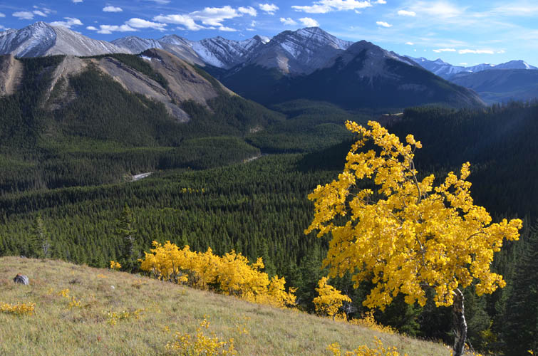
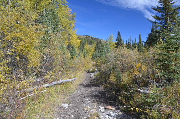
Fall colours.