Thuringian Forest, Germany
1 June 2019
Solo
Uninspiring forest walk better suited for biking or skiing
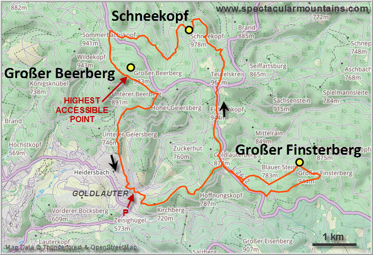
Other than the Dolmar outing earlier this year, I had never really done any proper hiking in the Thuringian Forest, a low-lying mountain range just north of Bavaria in the State of Thuringia. So with a beautiful warm and sunny summer weekend in the forecast I set my eyes on Großer Beerberg, Thuringia’s highest “mountain”, along with Großer Finsterberg and Schneekopf, the second and third highest, respectively.
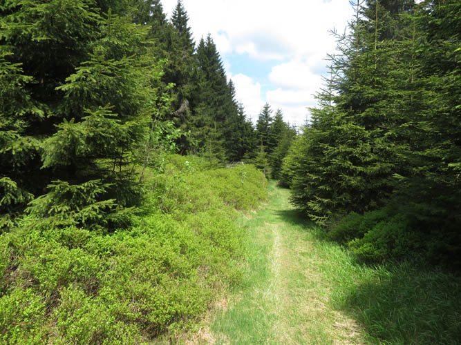
From what I knew about hiking in the Thuringian Forest, my expectations weren’t very high to be honest. In my mind I had images of boring paths, dark forests, and very few if any decent views. And that’s pretty much what I found…
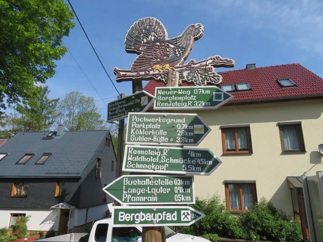
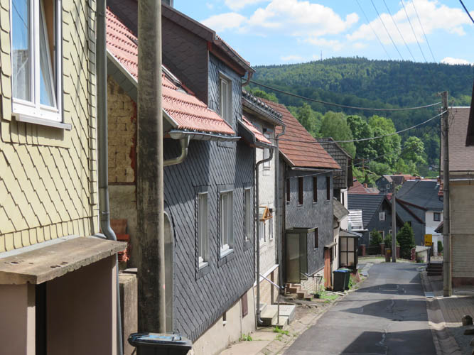
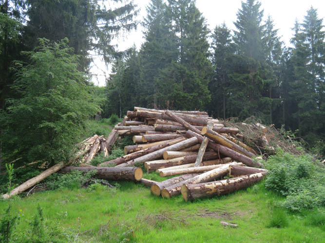
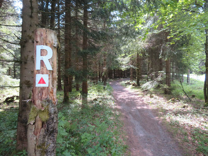
There are a myriad of trails, paths and forest roads in the area, so one good thing is you’re spoilt for choice as to the route you want to take. I picked a good mix of narrow, rarely-travelled trails and well-beaten popular hiking paths for a 22 km loop route starting in the small village of Goldlauter near the city of Suhl. I didn’t see anybody else in the morning until I hit the so-called Rennsteig, a famous long-distance hiking, biking and cross-country skiing trail that’s been around for many centuries (historians claim the first official mention in the historical record was in 1330!). The Rennsteig is about 170 km in length and partly marks the historical boundary between Thuringia in the north and Franconia to the south.
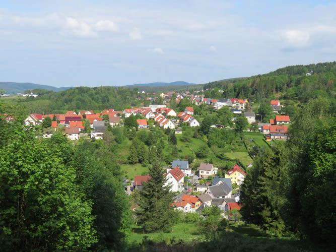
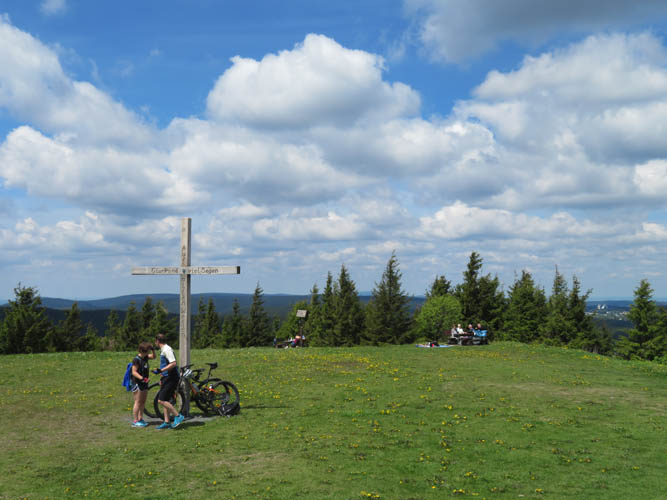
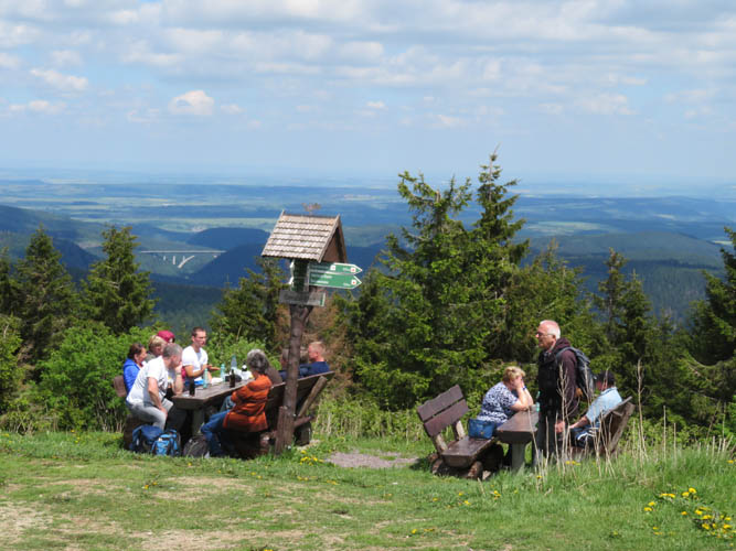
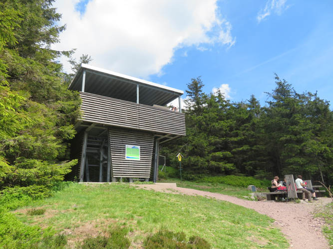
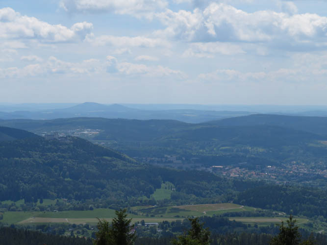
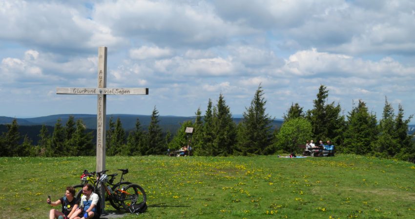
To add some distance and elevation to my day, I tagged on a small loop up the aptly named Großer Finsterberg (Great Gloomy Mountain in German). This extension to the third highest Thuringian peak (944 m) was nothing but a boring forest walk with very limited views. Comparatively the best views were probably had from the Schneekopf (978 m), another rounded mountain to the west, and the Teufelskanzel, a small rocky outcrop just to the north. The Schneekopf summit is a nice grassy area with picnic benches and you can see quite far down the Gera Valley to the northeast. Once again back in the forest I hiked for another hour or so to get to the viewing platform of the Großer Beerberg, where on a clear day you can see the northern reaches of the Rhön Mountains in the distance. Large parts of the Großer Beerberg represent a nature reserve and leaving the main trail is prohibited in order to protect the ecosystem including the fragile marshland. Visiting the actual summit and high point of Thuringia is thus not possible, you’ll be off by about 10 m elevation and 250 m distance. Technically, this makes the Schneekopf the highest legally accessible point in Thuringia at an elevation of 978 m.
On the tedious plod through the forest back to my car in Goldlauter, I couldn’t help but notice how many paper tissues there were lying on the side of the trail. Almost the whole day I had seen them, little white Kleenex tissues (or rather Tempo, the brand favoured here), carelessly thrown on the ground here and there especially on the popular trails. Sure, paper will biodegrade so it’s not the same as other trash and not a big deal, but I find it quite an eyesore and just a bad habit that some people would be so careless… Strangely, I’ve never noticed the “paper (t)issue” anywhere else in the world.
Overall a good work-out day with lots of fresh air in the forest but very little in terms of views. Most of the paths here are pretty wide and even, which makes them perhaps more attractive for bikers and cross-country skiers than for hikers like me.
|
Elevation: |
Großer Finsterberg: 944 m (official) |
|
|
Schneekopf: 978 m (official) |
|
|
Großer Beerberg: 983 m (official)* Highest accessible point at 973 m |
|
Elevation gain: |
750 m |
|
Time: |
5.5 h |
|
Distance: |
22.3 km |
|
Difficulty level: |
Easy (Kane), T1 (SAC) |
|
Reference: |
Local maps |
|
Personal rating: |
1 (out of 5) |
NOTE: This GPX track is for personal use only. Commercial use/re-use or publication of this track on printed or digital media including but not limited to platforms, apps and websites such as AllTrails, Gaia, and OSM, requires written permission.
DISCLAIMER: Use at your own risk for general guidance only! Do not follow this GPX track blindly but use your own judgement in assessing terrain and choosing the safest route. Please read the full disclaimer here.