Calgary Foothills, Canada
28 January 2021
With Richard
Easy uncrowded winter objective
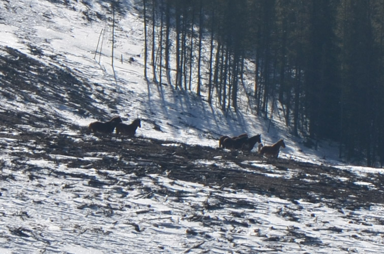
The Mustang Hills have never been on top of my list of must-do trips, but they do make for a nice and easy winter outing in uncrowded surroundings. And yes, we did even spot some wild horses that lend the hills their name!
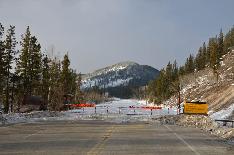
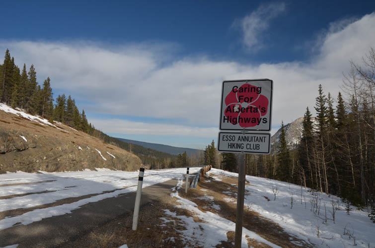
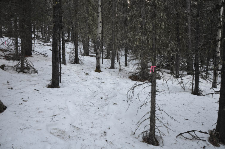
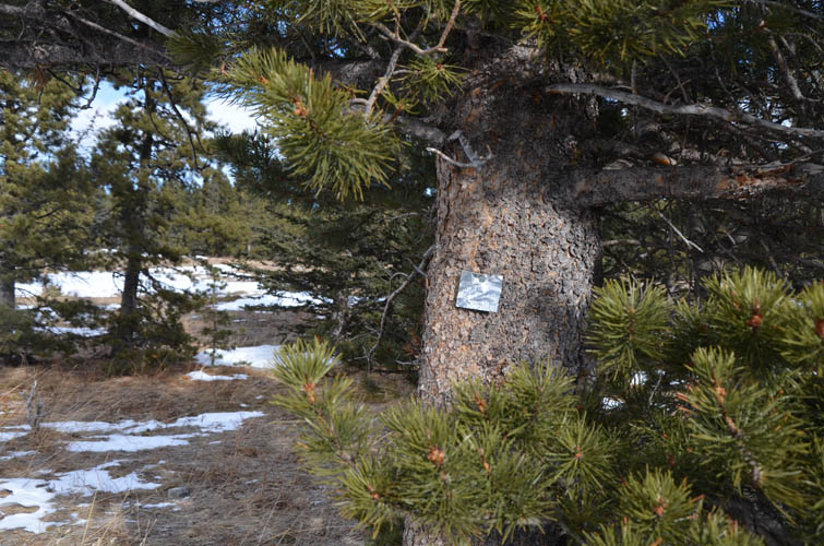
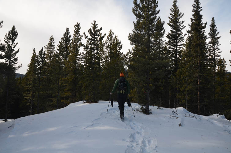
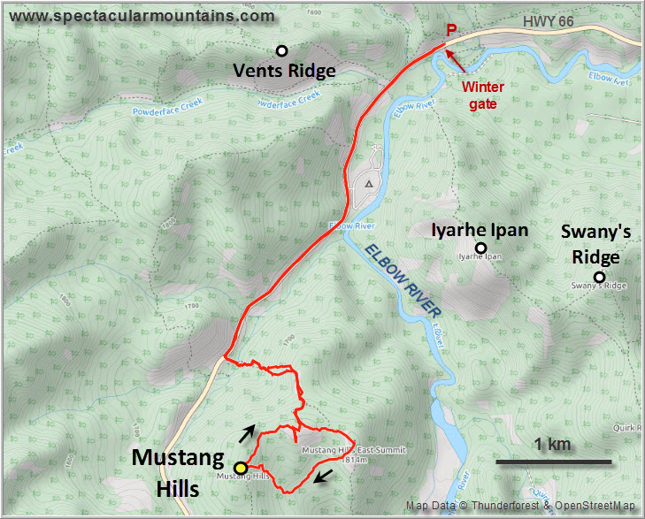
With the winter gate closed from Dec 1st to May 15th at Prairie Mountain, the approach is a bit boring but at least it’s efficient and painless especially when you can walk on snow-free tarmac. After following Hwy 66 for about 3 km, we dove right into the forest on the south side of the road by a sign that reads “Caring for Alberta’s Highways”. Lucky for us, there were some old snowshoe tracks that we were able to follow through light forest all the way up to the first highpoint. The tracks had hardened to the point where we were able to just walk up in our boots, which was nice.
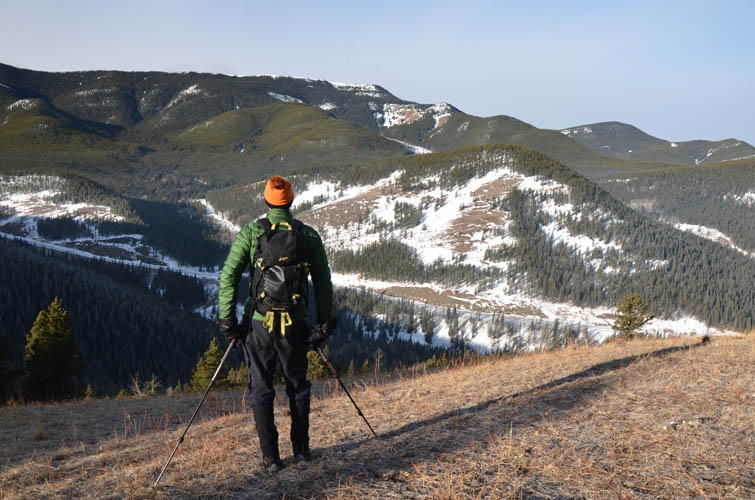
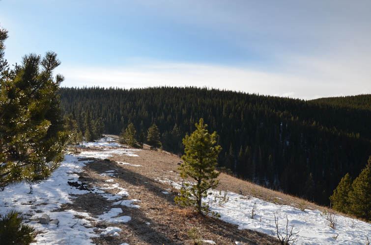
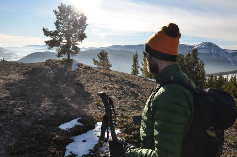
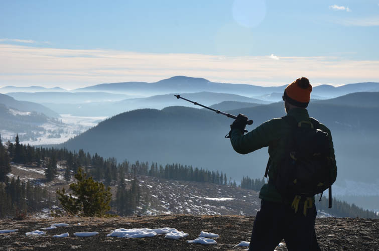
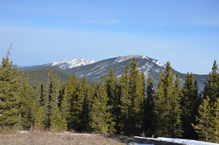
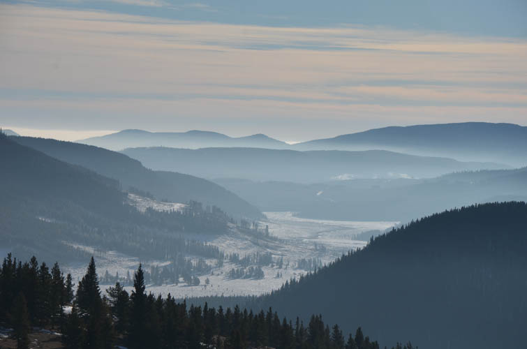
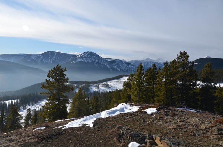
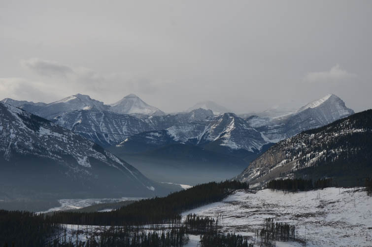
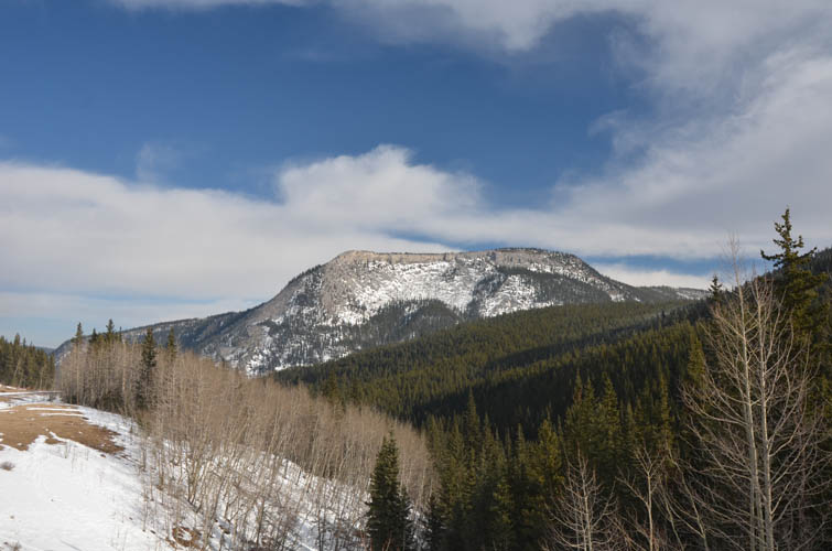
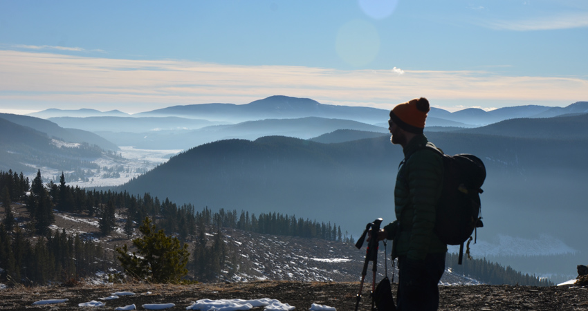
From the first highpoint we headed east to a second and slightly higher summit, which grants slightly better views. The vistas are expectedly limited for such a minor hilltop: mostly wooded foothills, Forgetmenot Mountain to the south, and a small window of grand Front Range peaks in the distance dominated by Banded Peak and Mount Glasgow. We were, however, quite excited to see a herd of mustangs on the open slopes below us.
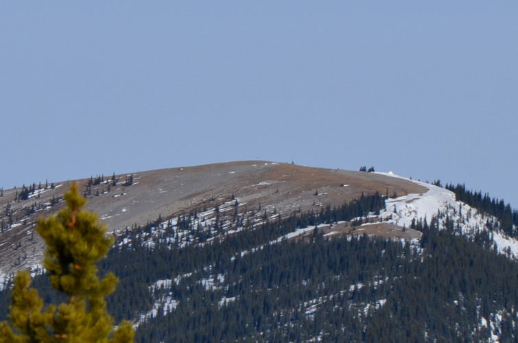
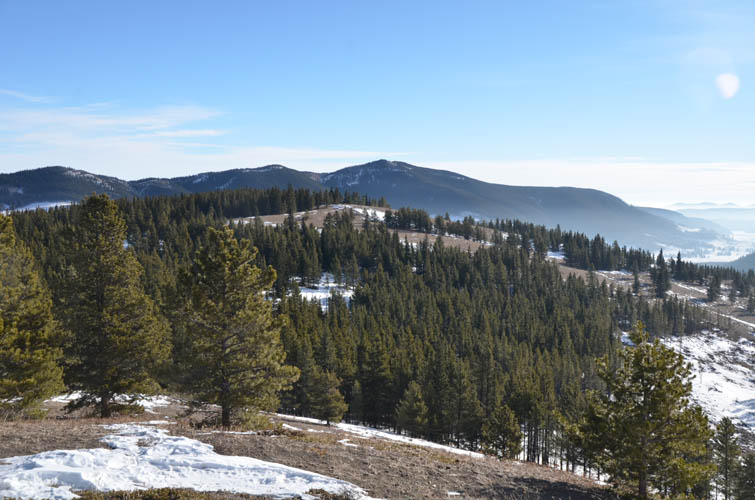
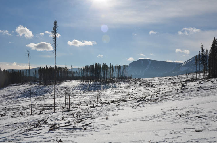
We chose to cross these open slopes – an area of cutblocks that had been logged some years ago – to traverse back to the north in order to get to the true summit, which unfortunately sits on a completely forested hilltop without any views at all. We then backtracked a short distance through the forest to connect up with our ascent route and headed back the same way.
|
Elevation: |
1841 m |
|
Elevation gain: |
630 m |
|
Time: |
4.5 h |
|
Distance: |
12.6 km |
|
Difficulty level: |
Easy (Kane), T2 (SAC) |
|
Reference: |
Spirko and own routefinding |
|
Personal rating: |
3 (out of 5) |
NOTE: This GPX track is for personal use only. Commercial use/re-use or publication of this track on printed or digital media including but not limited to platforms, apps and websites such as AllTrails, Gaia, and OSM, requires written permission.
DISCLAIMER: Use at your own risk for general guidance only! Do not follow this GPX track blindly but use your own judgement in assessing terrain and choosing the safest route. Please read the full disclaimer here.