Kananaskis, AB, Canada
7 March 2021
With Richard
Easy winter hillwalking
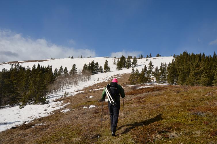
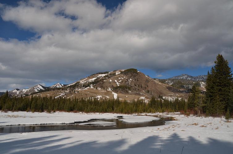
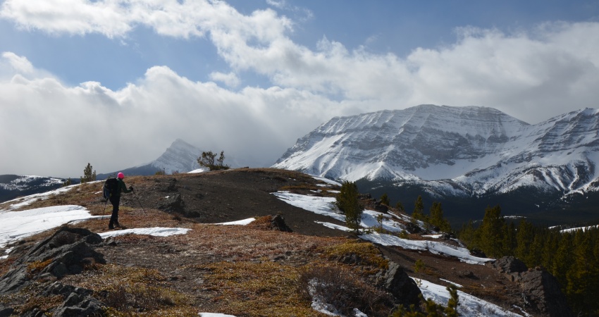
The Strawberry Hills have never been high on my to-do list, but I think they deserve more attention as a winter/early season trip idea. Richard and I quite enjoyed this hike and we actually were a lot more tired at the end of it than we had anticipated, mostly because of super strong winds whipping us around on the upper ridges.
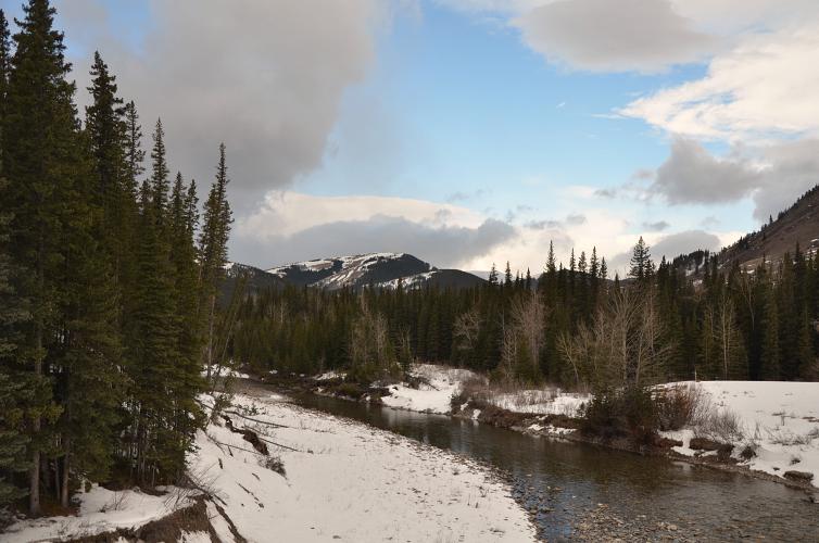
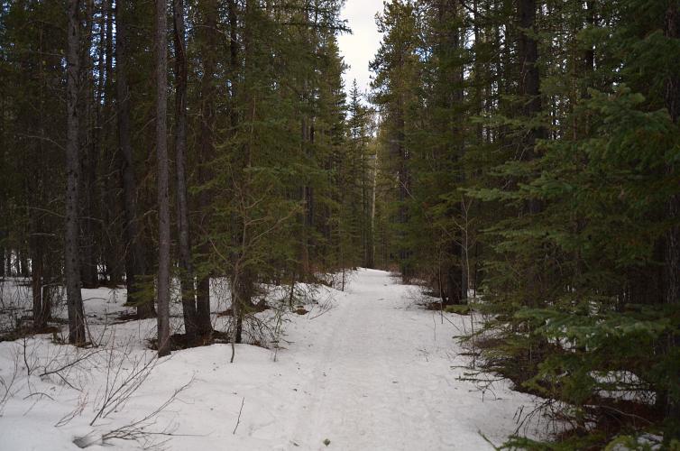
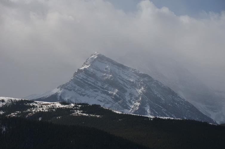
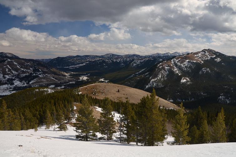
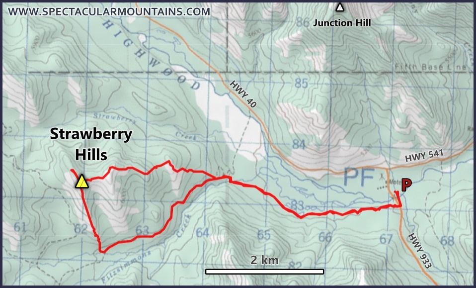
The approach via the trail on the north side of Coyote Hills avoids having to cross the Highwood River (the second approach is from the Fitzsimmons Creek parking lot). It’s mostly a plod through the forest, with the exception of a large clearing that grants a very picturesque view of Junction Hill with beaver dams of the Highwood River in the foreground. This trail is fairly popular with hikers and we were glad to hike on compacted snow instead of breaking trail.
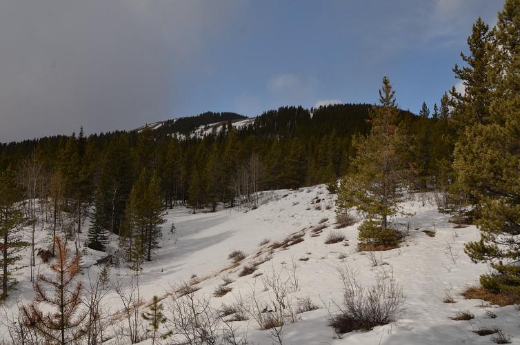
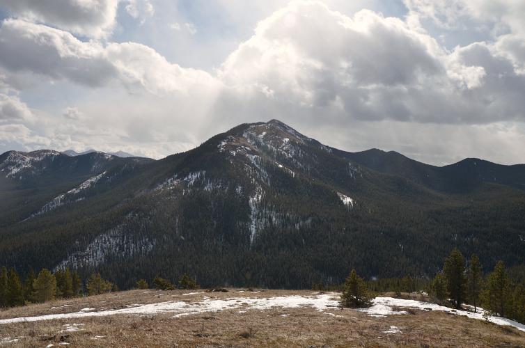
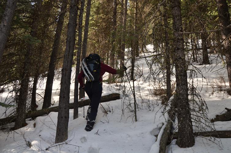
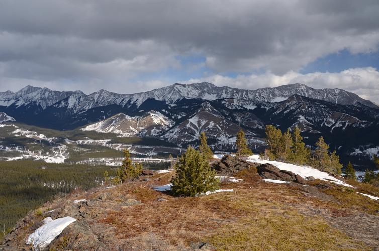
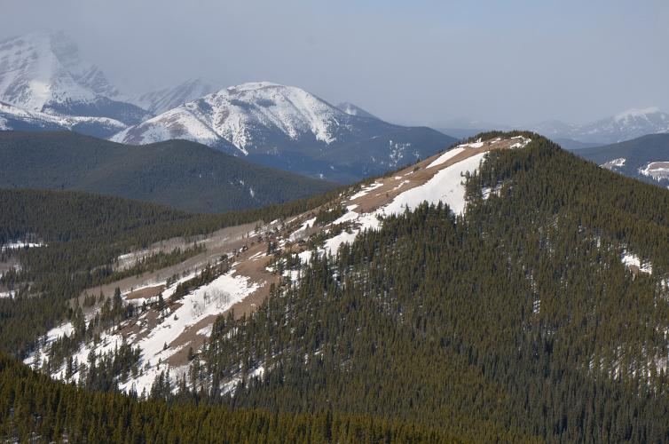
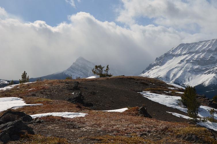
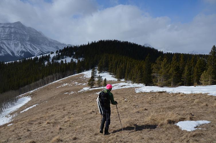
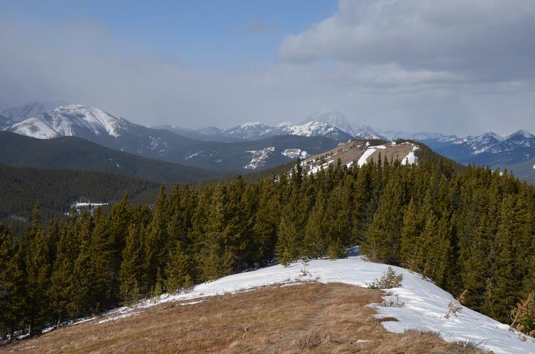
There are many possible routes to the various high points of the Strawberry Hills, none of them with actual trails but all easy. We went up the broad east ridge and traversed over four little high points, the last one being the true summit. One stretch of forest on the way up the second high point slowed us down with knee-deep snow, then there was another patch of soft snow to get up to the final top. Everything else was lovely hiking on mostly open grassy slopes.
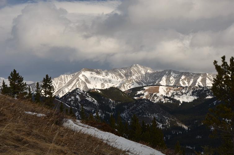
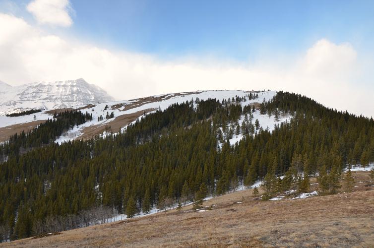
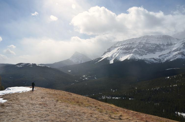
After huddling in a semi-sheltered spot away from the fierce winds near the summit we made our way down the open south ridge back to the trail along Fitzsimmons Creek and closed the loop.
|
Elevation: |
|
|
Elevation gain: |
710 m |
|
Time: |
5 h |
|
Distance: |
14.6 km |
|
Difficulty level: |
Easy (Kane), T2 (SAC) |
|
Reference: |
Daffern |
|
Personal rating: |
3 (out of 5) |
NOTE: This GPX track is for personal use only. Commercial use/re-use or publication of this track on printed or digital media including but not limited to platforms, apps and websites such as AllTrails, Gaia, and OSM, requires written permission.
DISCLAIMER: Use at your own risk for general guidance only! Do not follow this GPX track blindly but use your own judgement in assessing terrain and choosing the safest route. Please read the full disclaimer here.