Elkford, BC, Canada
26 August 2019
Solo
Long approach, easy climb, fantastic views
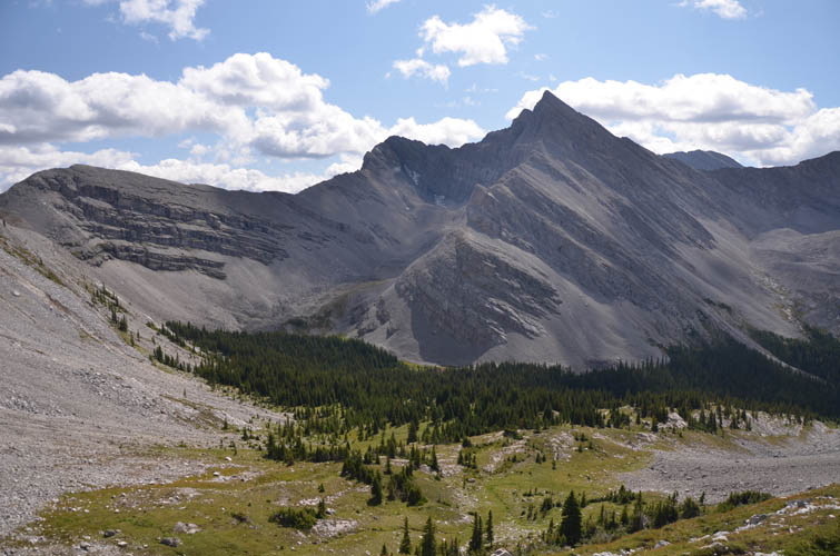
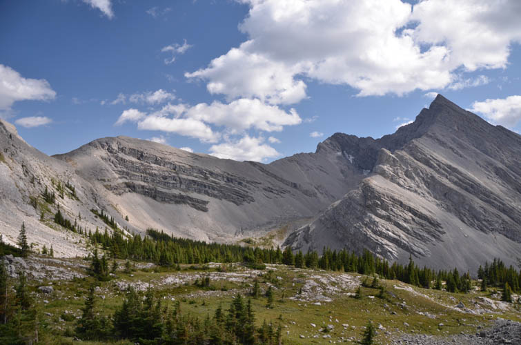
Due to its relative geographic isolation away from any nearby roads, Mount Kilmarnock on the Continental Divide is seldom ascended. It sits right in the middle of nowhere northeast of Elkford, BC, and northwest of the Beehive Natural Area and is the highest mountain in the area between Mount Pierce to the north and Mount Gass to the south.
Not much information can be found on possible ascent routes other than Rick Collier’s trips many years ago. Interestingly, Rick refers to the mountain he ascended as Mount O’Rourke. However, official government topo maps show the location of Mount O’Rourke at GR 609-610, a minor outlier to the NW. Several mountain websites therefore assume that some sort of mistake must’ve been made on the original maps and Mount O’Rourke should actually refer to the higher peak at GR 618-599, which was also my initial assumption when I set out to climb it. It was only after I returned from my trip that I was informed by guidebook author David P. Jones that the mountain I climbed is actually referred to as Mount Kilmarnock, a name I had never heard before! To remove any lingering confusion: the mountain located at GR 618-599 – Mount Kilmarnock – is the subject of my article.
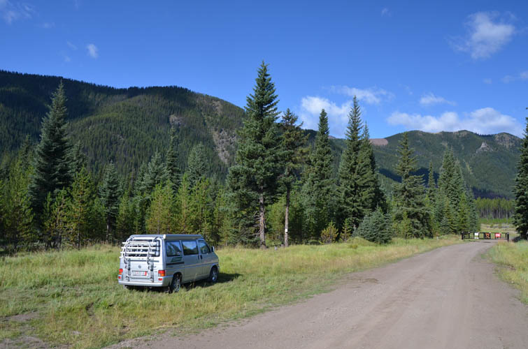
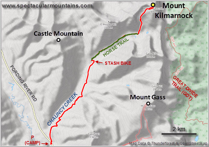
This was my first time in the Elkford area of BC – so many beautiful peaks here and so many scrambling and climbing possibilities! I headed east from Elkford along the excellent paved Fording River Road (which deadends at a big coal mine) and pulled over about 10 km from Elkford on the left side at small gravel road leading to a gun range. It wasn’t the quietest camping spot due to some noisy coal trains passing by in the evening, but it did the job. After all, I was right at the trailhead for my objective the next day.
Ice lined the sides of my van when I woke up early in the morning and it was bitterly cold. Below freezing point in August…what happened to summer!? Reluctant to get out of my comfortable down sleeping bag, I doodled and dawdled around, enjoyed a nice hot cup of coffee and an extended breakfast, chatted with a local visiting the gun range, until I finally got going at the fine hour of 10 AM.
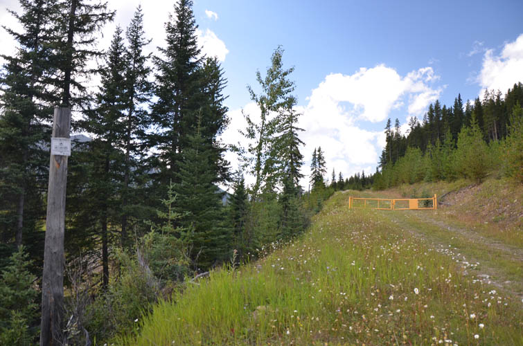
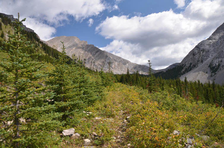
The route I had scouted on Google Earth worked out just as planned. It’s a long approach, but simple and very enjoyable. First, I had to cross the train tracks on the east side of the Fording River Rd. On the other side is the start of a gated logging road (no motorized traffic allowed) that leads way up Chauncy Creek to the NE. The logging road was perfect for biking, although I had to push my bike a lot on the steeper sections – perhaps I was out of shape but I’d like to blame it on my 25 year old mountain bike :). There are a few bridges that are all still intact and maintained it seems, until you get to about km 6 where the bridge has been partially washed away. I stashed my bike here, jumped the creek, and found a decent horse trail about 100 m up the road on the right hand side.
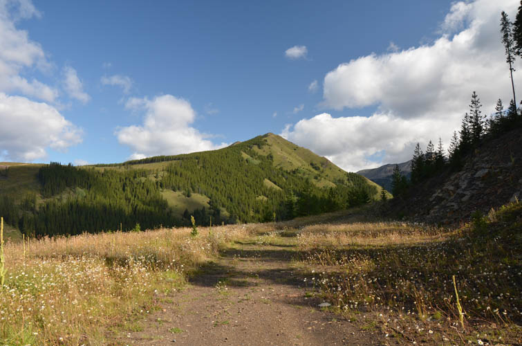
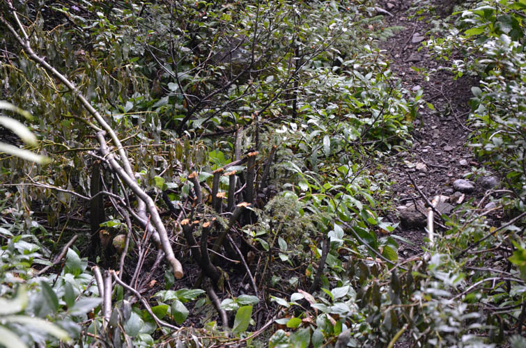
Lucky for me, somebody had recently cleared the horse trail from some of the proliferating alders and other foliage, allowing me to move along quite quickly. The trail follows an old cutline, which to me looks like a seismic line that was cut to explore the subsurface geology of the area a long time ago. It’s arrow-straight with only a few kinks and ends in the middle of nowhere – typical of seismic lines.
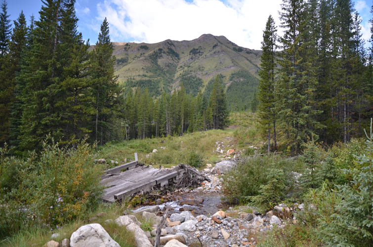
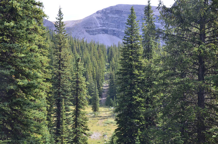
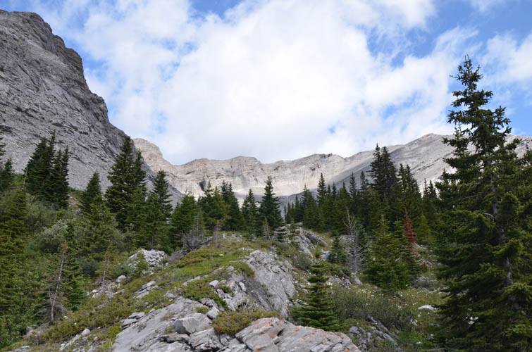
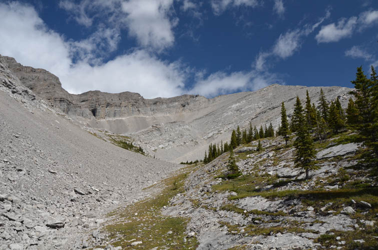
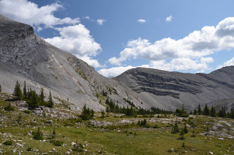
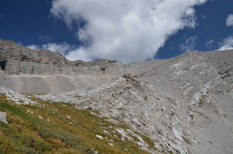
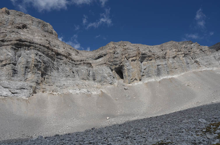
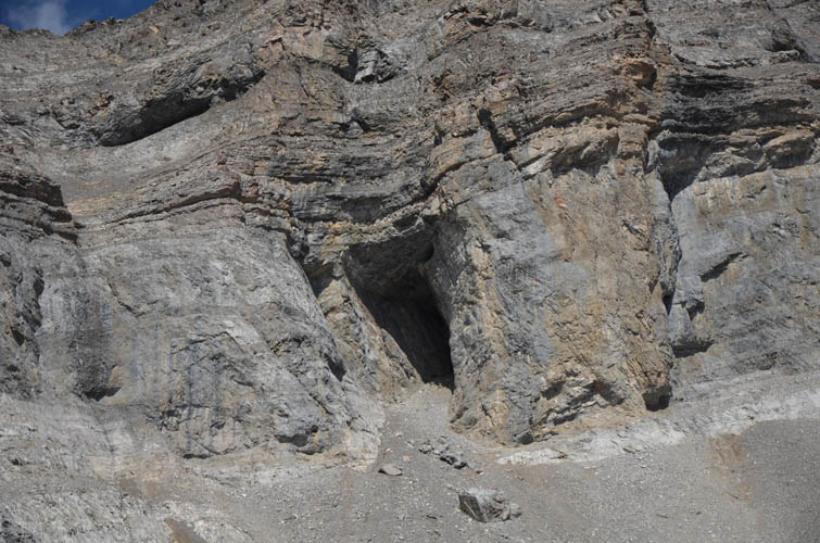
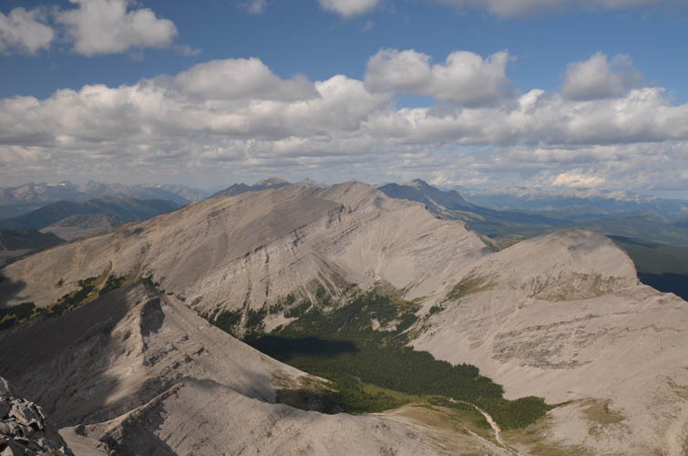
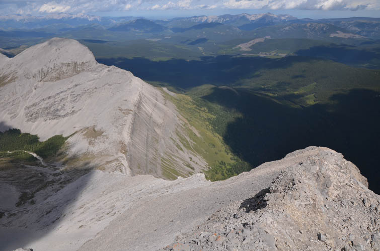
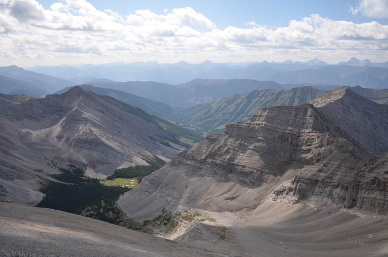
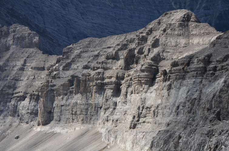
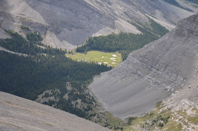
After my one hour bike ride and about two hours of hiking along the horse trail, I arrived at a small drainage coming in from the left (north). This is where my planned route took me away from the trail and north into the small bowl sitting SW of Mount Kilmarnock’s summit. It is quite rare that a route mapped out on satellite images works out so well, but this was a delightful hike all the way from the horse trail (almost) to the summit. After a hundred metres or so of very light bushwhacking, the terrain opened up and I was hiking along gentle grass slopes and ledges up the valley and into the steepening scree slopes SW of the summit. The scree wasn’t nearly as nasty as that of nearby Mount Farquhar; most of it was pretty solid except perhaps in the very top part near the summit ridge. Other than a few moderate steps along the ridge just before the summit no other challenges were encountered.
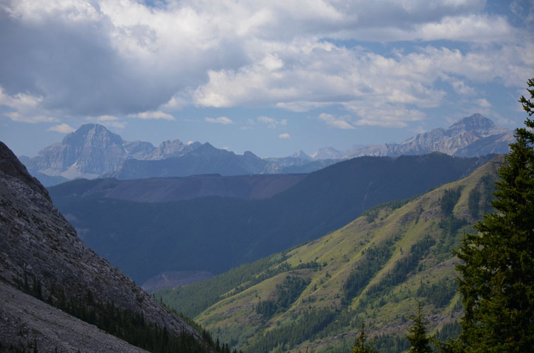
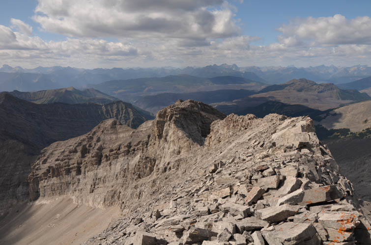
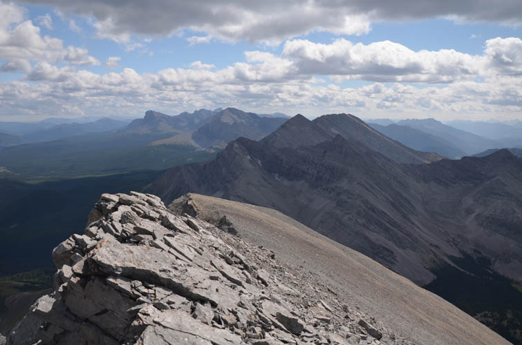
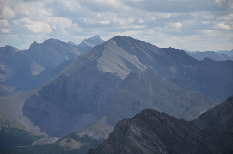
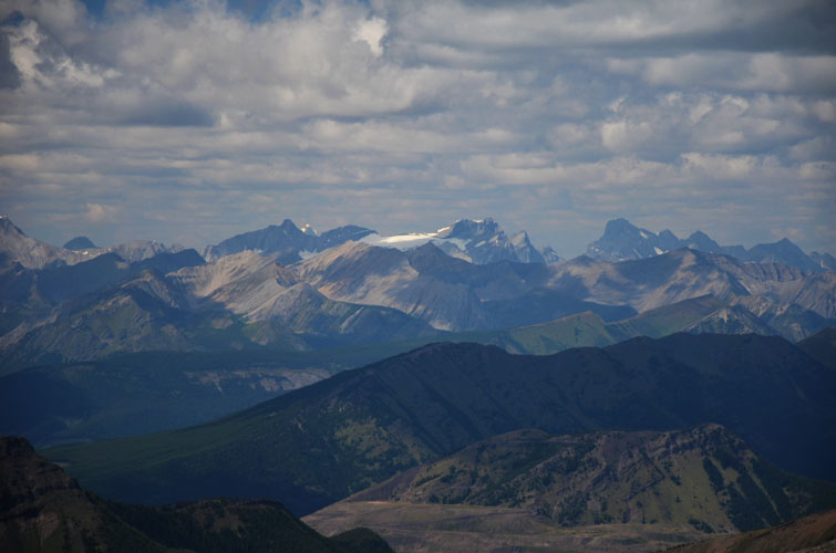
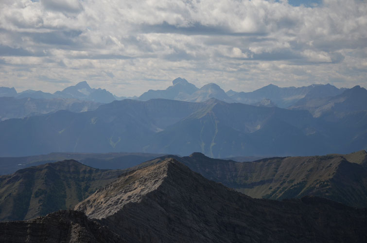
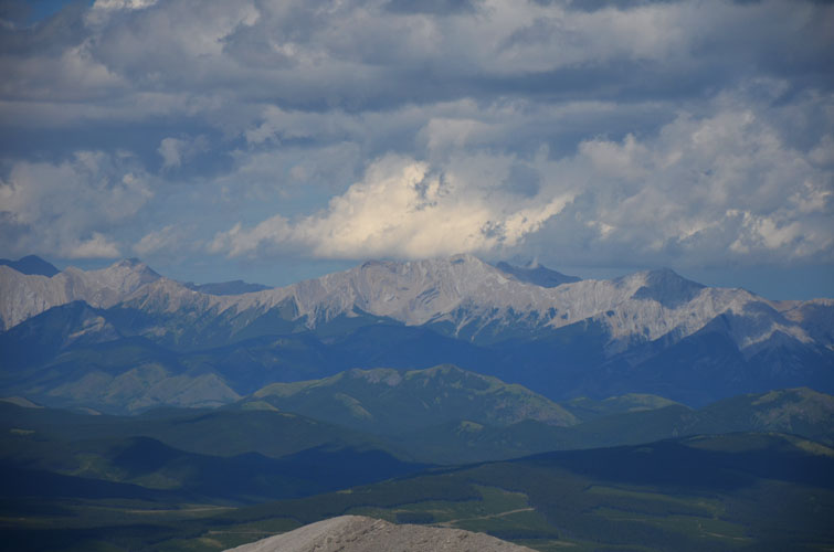
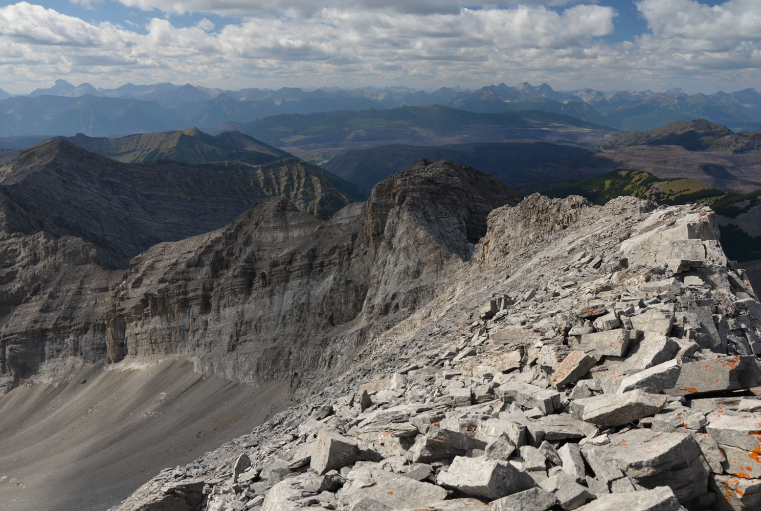
I searched in vain for a summit register in the lichen-covered cairn, then decided my time was better spent soaking in the breathtaking views along the Continental Divide, one of my favourite areas in the Rockies (I have many favourites!). It certainly is a special feeling to be sitting on a fairly remote peak right on the AB-BC boundary, enjoying sweeping views over a sea of mountains in both provinces. Simply beautiful!
An incessant cold wind had been chilling me down ever since I left the forest by the horse trail and I was certainly glad I had my big puffy, gloves and toque with me. Yes, and this in August… ah, Rockies weather!
On the way down from the summit ridge I found a nice stretch of pretty soft scree that landed me down in the bowl in no time. The hike back along the cutline was a breeze, and the bike ride back super-fast and enjoyable. A brilliant trip I will remember for a long time!
|
Elevation: |
2871 m (my GPS) |
|
Elevation gain: |
1570 m |
|
Time: |
8 h |
|
Distance: |
23.4 km |
|
Difficulty level: |
Easy to moderate (Kane), T3/T4 (SAC) |
|
Reference: |
None for this route |
|
Personal rating: |
4 (out of 5) |
NOTE: This GPX track is for personal use only. Commercial use/re-use or publication of this track on printed or digital media including but not limited to platforms, apps and websites such as AllTrails, Gaia, and OSM, requires written permission.
DISCLAIMER: Use at your own risk for general guidance only! Do not follow this GPX track blindly but use your own judgement in assessing terrain and choosing the safest route. Please read the full disclaimer here.