Ya Ha Tinda, AB, Canada
8 December 2019
Solo
Boring forest walk but decent Plan B
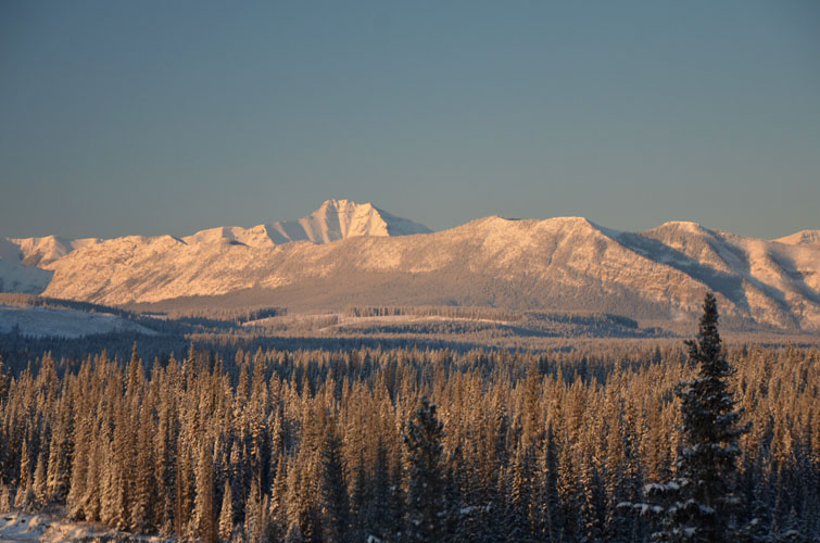
I knew this wasn’t going to be a very exciting outing but I was left with little choice. After discovering that more than 20 cm of fresh snow was covering the Panther Road, I was unable to drive to my original objective and had to resort to Plan B: Blue Hill Lookout, a small forested bump east of the craggy Front Range peaks of the Ya Ha Tinda area.
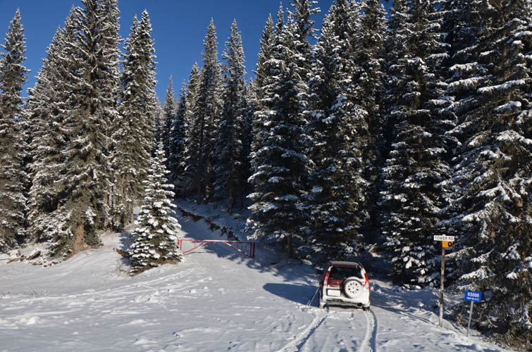
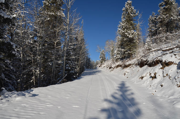
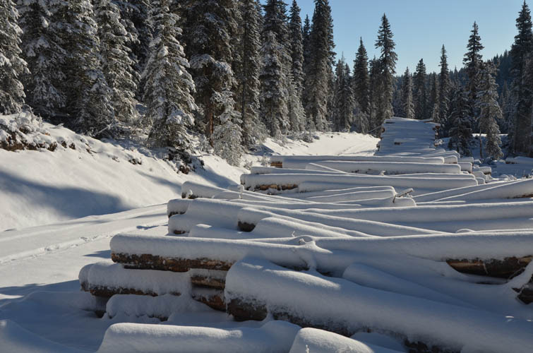
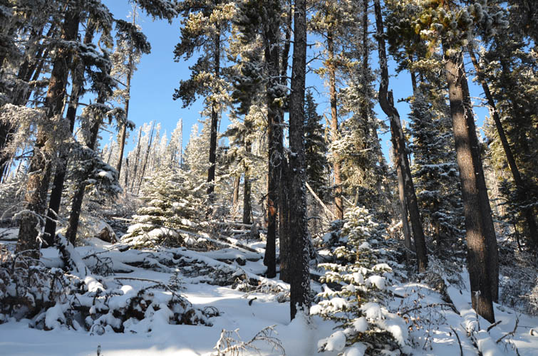
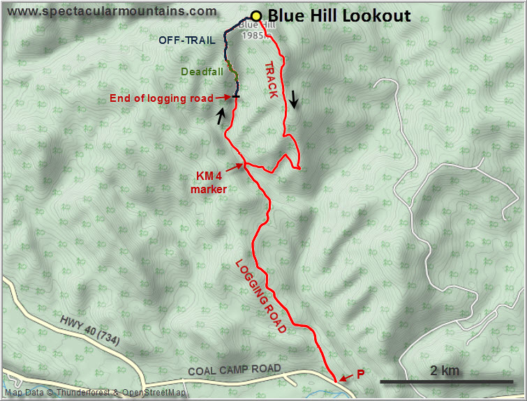
A logging road (signposted “Tower Road”) goes up about half way, followed by a narrower maintenance track that takes you directly to the top of the lookout – a hands-in pockets walk, all in the forest. Despite the expected monotony, I did manage to have my small share of routefinding adventure. Instead of turning right onto the maintenance track at the 4 KM marker, I stayed on the logging road and followed it a couple more km to where it abruptly ends near a small creek. From here I continued uphill through small clearings and light forest, but the easy hiking was soon over and I had to deal with some annoying deadfall for a short section. Once I was up on the ridge SW of the summit the trees lightened up again. About two and a half hours after leaving the car in the morning I reached the top of Blue Hill complete with picnic bench at a small clearing just east of the summit.
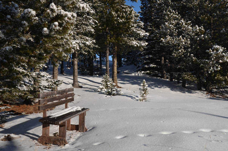
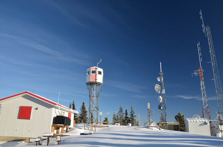
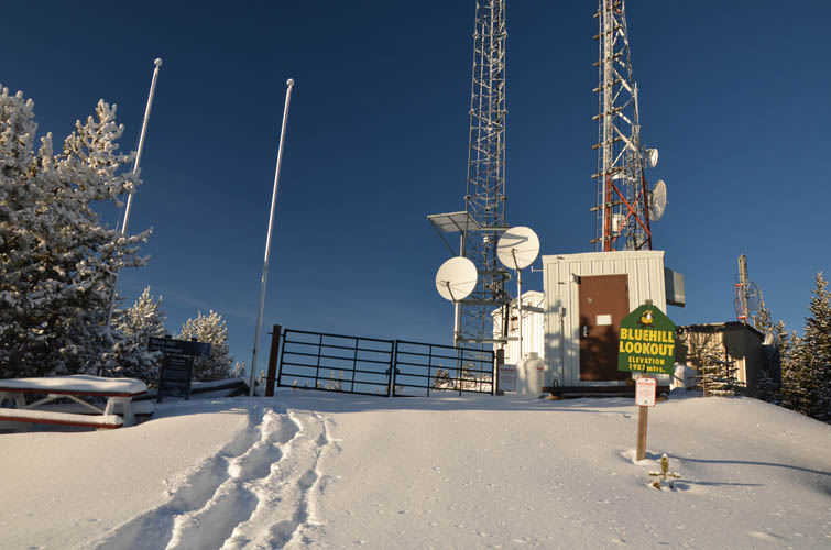
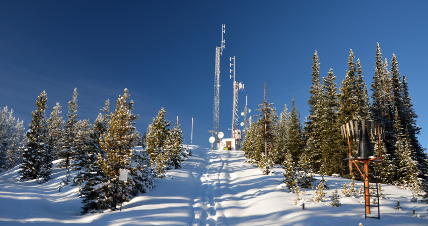
This is the first (and only) lookout I’ve ever seen that doesn’t really offer any views. The lookout building and auxiliary installations at the top are surrounded by trees and you have to try hard to find an opening between them to have something to look at. There’s a small fire lookout tower that sits a bit higher but this is reserved for the lookout observer when the station is manned in spring and summer. Disappointing to say the least. Oh well, it’s a decent workout hill and it was still lovely to be out for a walk in a silent and windless forest.
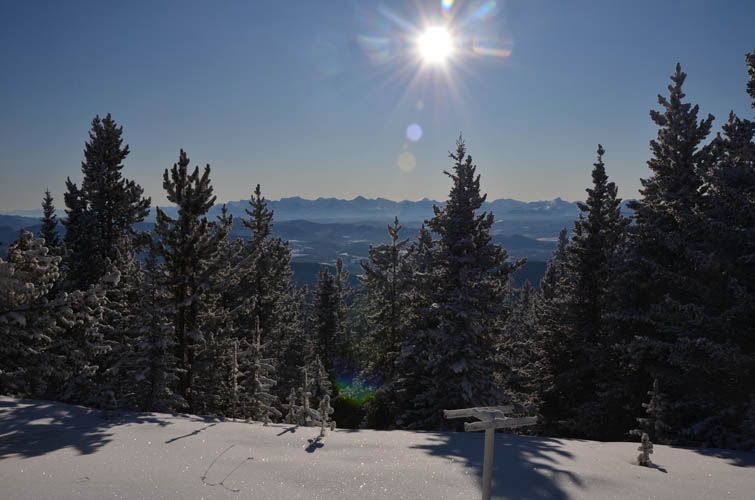
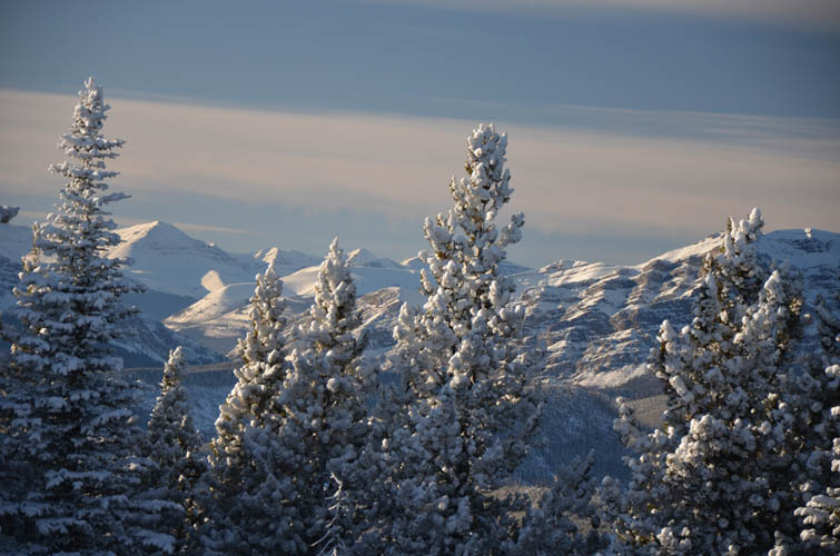
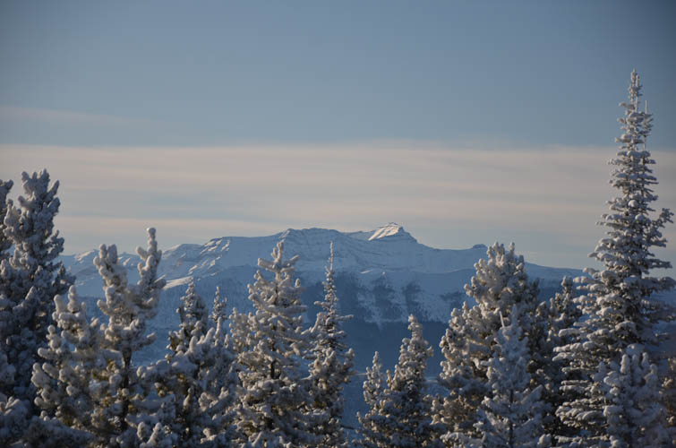
The return down the maintenance track was slightly more enjoyable as there were some views of distant peaks in the Ghost here and there, albeit very limited ones. The track was full of deep, soft snow, which made it fun to showshoe downhill and easy on the knees.
As a primary objective Blue Hill doesn’t really justify the long drive from Calgary, but it’s a decent backup plan in case of bad weather or if for some reason the Ya Ha Tinda Road is impassable. I wouldn’t recommend my ascent route through the trees unless you don’t mind a bit of bushwhacking through deadfall.
|
Elevation: |
1988 m (my GPS) |
|
Elevation gain: |
740 m |
|
Time: |
5.0 h |
|
Distance: |
14.7 km |
|
Difficulty level: |
Easy (Kane), T1/T2 (SAC) |
|
Reference: |
Local maps & own routefinding |
|
Personal rating: |
2 (out of 5) |
NOTE: This GPX track is for personal use only. Commercial use/re-use or publication of this track on printed or digital media including but not limited to platforms, apps and websites such as AllTrails, Gaia, and OSM, requires written permission.
DISCLAIMER: Use at your own risk for general guidance only! Do not follow this GPX track blindly but use your own judgement in assessing terrain and choosing the safest route. Please read the full disclaimer here.