Al Harajah, Saudi Arabia
1 April 2019
Solo
Atop Saudi Arabia’s highest peak
The only reason why I even knew about Jabal Ferwa (variant spelling: Farwa) is because it was revealed to be the kingdom’s “new” tallest mountain in a Saudi newspaper article. The article talked about the Eric and Matthew Gilbertson, two avid mountaineers and peakbaggers who have set themselves the admirable goal of climbing the high point of every country in the world. Together with members of the Saudi Climbing and Hiking Federation, the brothers carried out some detailed elevation measurements on Ferwa in August 2018 and determined it to be a few metres higher than Jabal Sawda, the hitherto highest assumed point in the kingdom.
I was on a road trip to explore the Sarawat Mountains of southwestern Saudi Arabia and had just spent several days scrambling up some awesome peaks near Najran. Now on my way to the city of Abha I came through the area where Ferwa is located. Of course I had to climb the “newest” highest peak of Saudi Arabia while in the neighborhood!
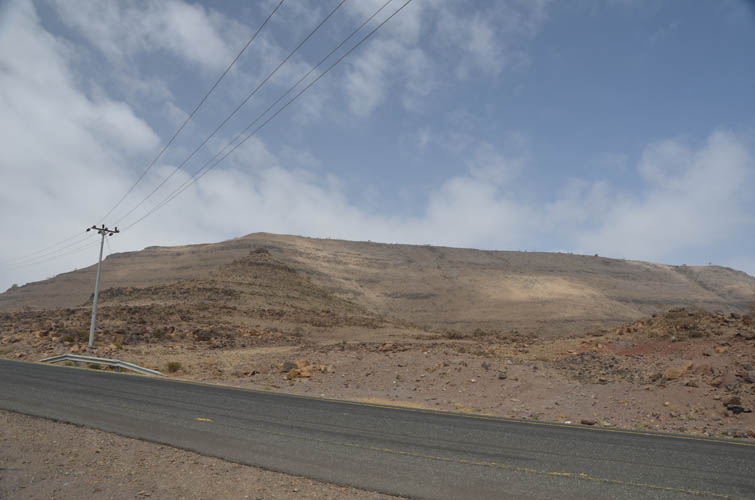
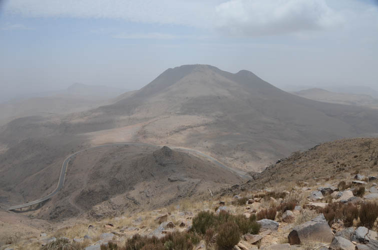
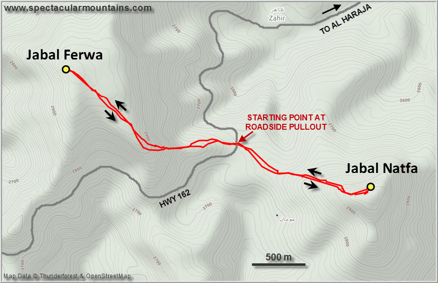
Access to the peak is astoundingly easy – nothing like the experience on my previous two climbs. It’s a half hour drive on an excellent paved road (#162) that goes west from the main Najran-Abha highway (#15) and there is a convenient pullout near the highest point in the road at the end of Ferwa’s broad SE ridge.
The hardest part of the trip was finding a place to camp the night before. I spent over an hour driving around the mountain road trying to find a quiet and secluded place to set up my tent and park my car where I couldn’t be seen from the road, but to no avail. The hilly landscape is fairly barren and empty in this area, but every single side road I took led to a settlement or some private yards. There are lots of dirt tracks used to access shepherds’ plots and power lines, but they are all blocked by a barrier of mud that only high-clearance 4WDs can get over. No chance for my little Hyundai Accent! Eventually, I found a good spot near a telecoms tower on a small hill not far from the town of Al Dahrah down in the valley to the northwest, about half an hour drive away from the trailhead. It was a great place to camp: I was invisible to the cars going by on the main road and the people in the villages nearby, and there was no traffic on the dirt track itself. Nobody except one lonely villager on a horse came by. He just looked at me with confused bewilderment as I raised my arm to greet him. As with every place I had visited in the last week here in the southern regions of Saudi Arabia, there were absolutely no tourists around anywhere… I hadn’t even seen another westerner at all.
After a quiet night and a good sleep I woke up around 7 AM the next day, packed up my stuff, and drove to the closest town in the direction of the trailhead (I think it was called Al Jawwah). Luckily for me, there was a small Indian restaurant that had a delicious breakfast of scrambled eggs, bread and coffee on offer – a veritable steal at 1.5 Euro for the whole lot.
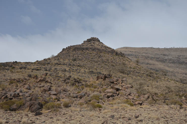
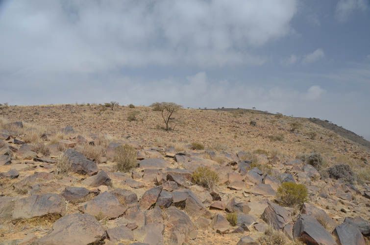
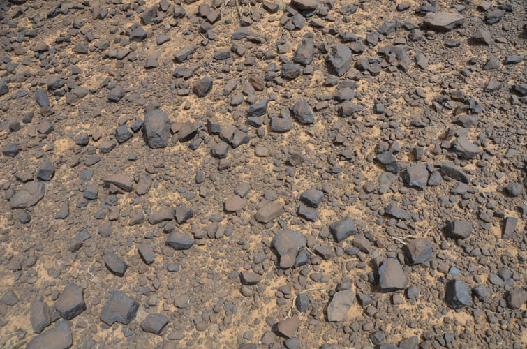
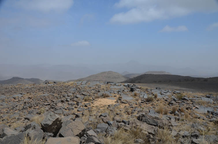
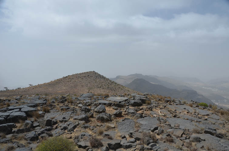
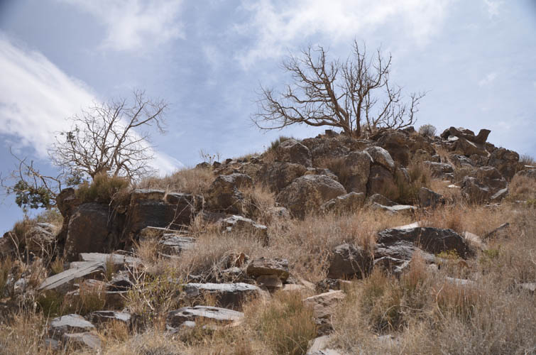
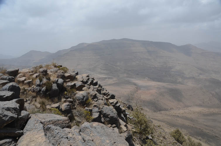
With my energy levels replenished, I drove to the pullout I had scoped out the day before and started my hike up Jabal Ferwa. The hike itself is rather boring. The terrain here is shrubby and rocky and there are no trails. A few minor cliffbands at the beginning are easily scrambled before a broad platform is reached scattered with angular chunks of volcanic rocks. It’s a bit awkward to walk here, but there are no technical difficulties whatsoever and it took me less than an hour to reach the cairned summit in the distance to the NW.
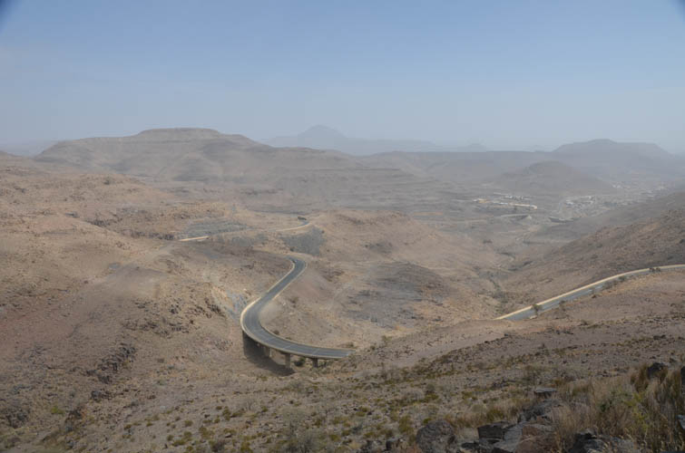
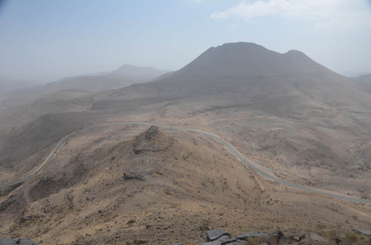
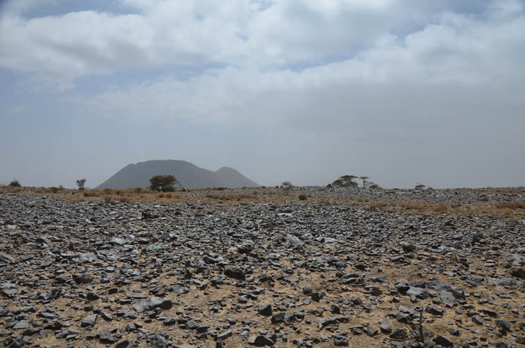
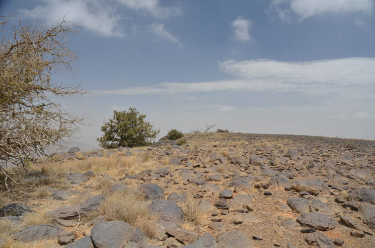
The air was rather hazy today so I didn’t get the sweeping summit views I had been looking forward to. The landscape in this region is characterized by sparsely vegetated rolling hills and rounded volcanic peaks that sit right at the edge of a continental plateau. The plateau drops off towards the plains in the southwest that eventually extend to the Red Sea. Unfortunately, the hazy conditions today meant that I couldn’t see far down this drop. In the distance to the east and southeast, however, I could clearly see two other peaks of similar or even higher elevation. Was it possible that Ferwa wasn’t the highest peak after all?
Placing my GPS device (a Garmin etrex 30) on the highest permanent rock at the summit I got a maximum reading of 3002 m, while my phone gave me an elevation of 2996 m. Not bad. But a much closer match exists between my GPS reading and what the Gilbertson brothers had measured using high-resolution satellite data: their final elevation was calculated at 3001.8 m post-processing, i.e. pretty much the same value that I got.
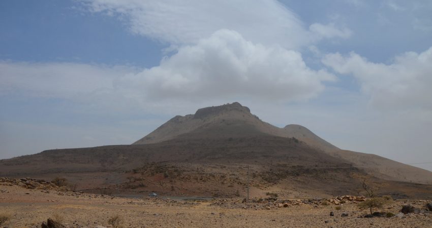
After retracing my steps back to the car, I decided to continue on to the neighboring peak to the SE that had appeared it could be of similar height from Ferwa’s summit. A local driving by stopped to see what I was doing when I crossed the road. We had a friendly chat and even though he couldn’t understand why I would want to hike in around the hills here, he happily told me the name of this neighboring peak. It is apparently called Jabal Natfa, a name I was later able to corroborate online.
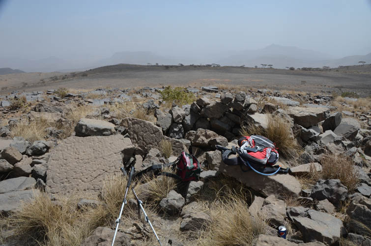
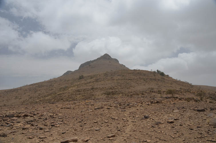
Natfa was also no more than an easy hike up a grassy slope, steepening towards the top, with a small cliff at the end consisting of large angular blocks of black volcanic rock. I quite enjoyed the short scramble to get to the top of the small summit plateau. Although I couldn’t see a proper summit cairn, I did find a small dilapidated stone house and a few trees around the highest point. I checked my GPS: 2967 m, so definitely lower than Jabal Ferwa.
Once again I chose exactly the same simple route down the NW ridge of Natfa to get back to my starting point. Both peaks are really short and straightforward hikes with a few easy scramble sections thrown, nothing extraordinary but quite enjoyable overall, especially considering you can so easily make it to Saudi Arabia’s highest point! I was able to complete the entire trip in around four hours and it was only 1 PM now – plenty of time left to explore another peak while in the area!
|
Elevation: |
Ferwa: 3002 m (my GPS), 3001.8 m (Gilbertson, 2018) |
|
|
Natfa : 2967 m (my GPS) |
|
Elevation gain: |
770 m |
|
Time: |
4 h |
|
Distance: |
7.3 km |
|
Difficulty level: |
Easy (Kane), T2 (SAC) |
|
Reference: |
No detailed route info was available to me prior to trip |
|
Personal rating: |
2 (out of 5) |
NOTE: This GPX track is for personal use only. Commercial use/re-use or publication of this track on printed or digital media including but not limited to platforms, apps and websites such as AllTrails, Gaia, and OSM, requires written permission.
DISCLAIMER: Use at your own risk for general guidance only! Do not follow this GPX track blindly but use your own judgement in assessing terrain and choosing the safest route. Please read the full disclaimer here.