Sulaymaniyah, Iraq
10 November 2018
Solo
Even shorter and sweeter – a difficult scramble in the Piramagrun Massif
After the quick three and a half hour scramble to a peak called Kanir in the Piramagrun Massif yesterday, I thought this would end up being the shortest of all my trips this year. Well, it turns out today’s outing was even shorter: only two hours and 20 minutes, with more than half that time spent scrambling! I love short and efficient outings like that.
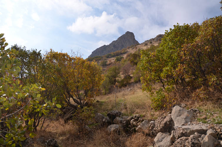
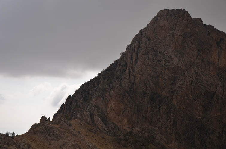
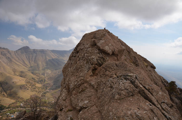
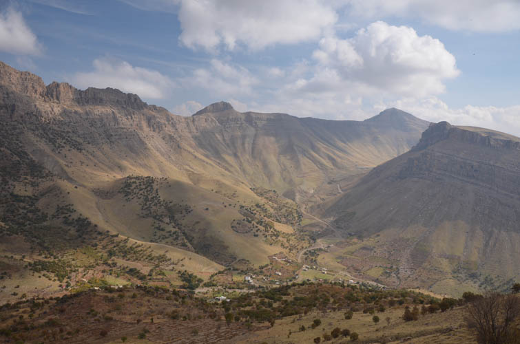
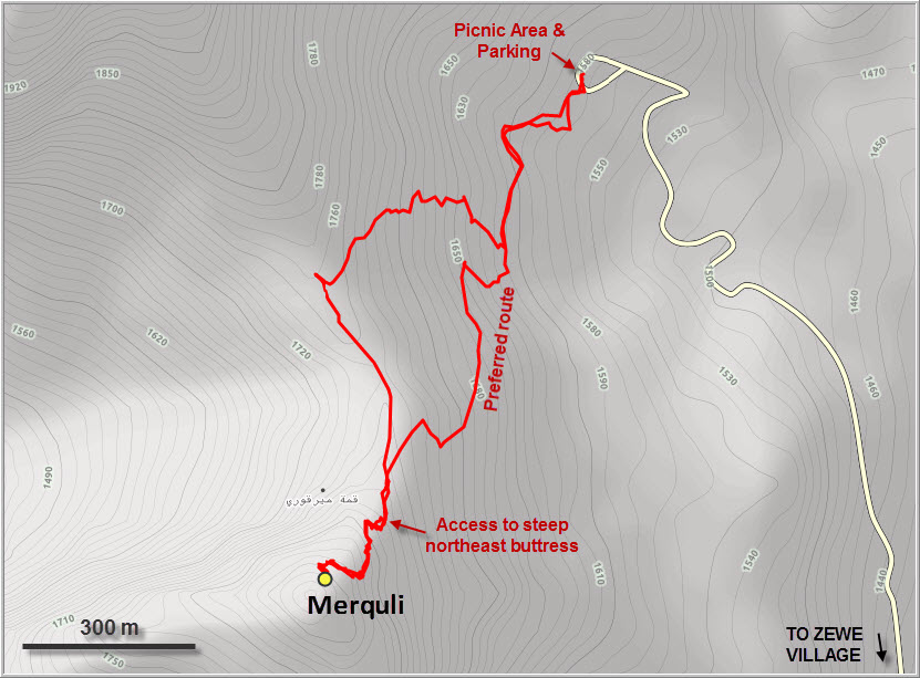
It took me a while to figure out the name of this little peak that stands out with its sharp, pointy top and sheer cliffs on the north, east and south sides. Locals I met refer to it as Merquli or Zindan, while published sources show many spelling variants like Mir Qoli, Mirquli or Mirquri. As expected, no climbing information could be found anywhere. I did meet some locals who had ascended it but due to lack of communication (my Kurdish is pretty much non-existent) I couldn’t verify which route they took.
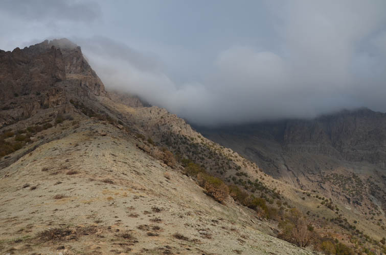
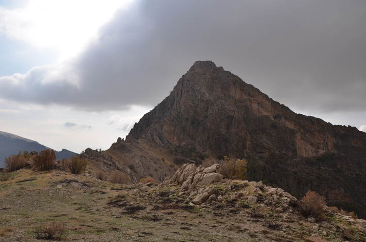
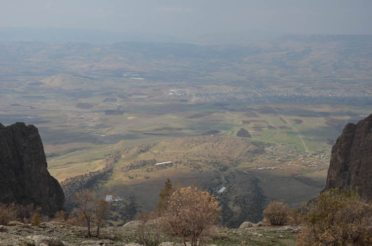
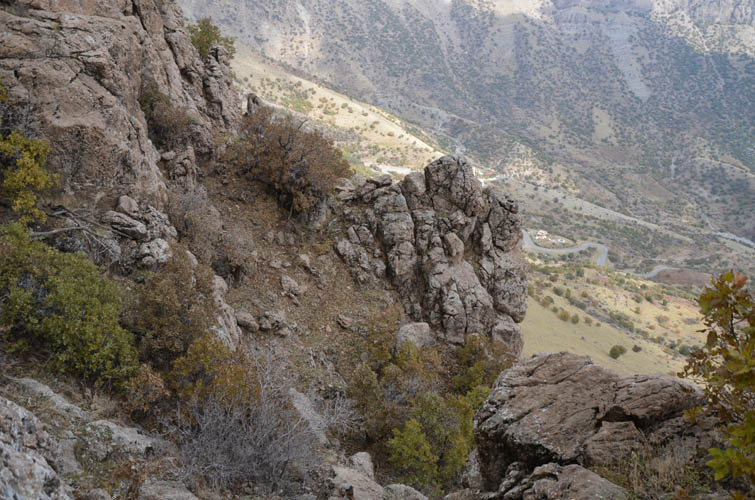
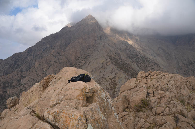
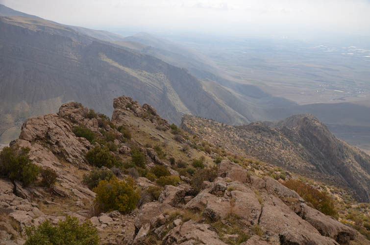
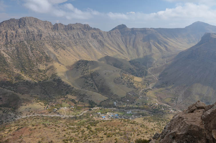
The peak looks steep and daunting when viewed from our camp base at the picnic area above the village of Zewe. I wasn’t confident at all I was going to find a way up from this side, the cliffs surrounding the summit seemed almost impenetrable. The north side is pure, vertical rock dropping down hundreds of metres while the east face is more craggy with a few small trees lining some of the cracks. The route I eventually found follows a line of trees in a zig-zag to the top.
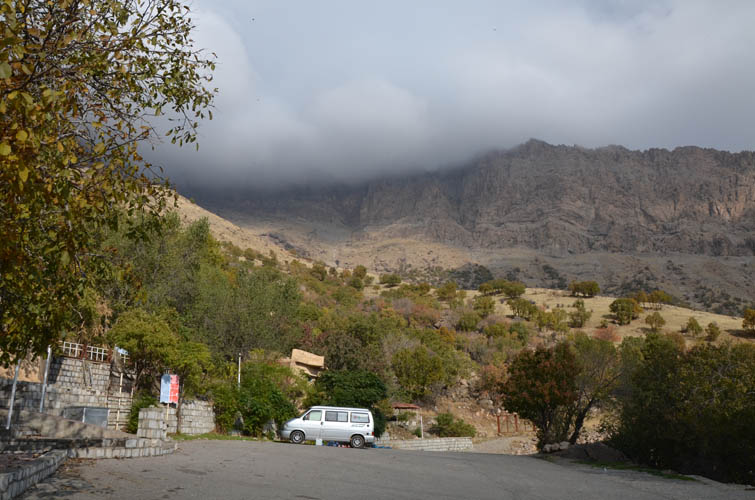
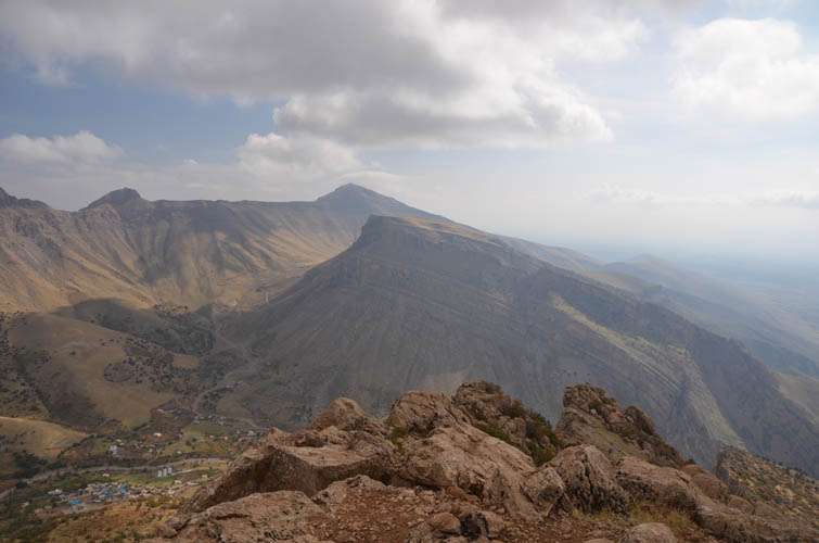
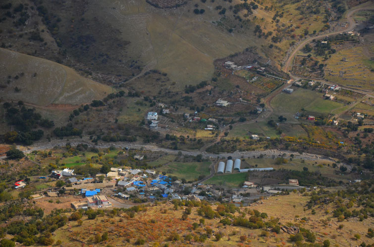
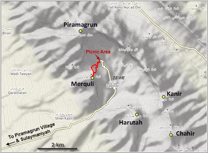
One of the best things about this trip is the super short approach, which starts already at an elevation of 1680 m so there’s only about 400 m to go. A trail begins by the water taps behind the picnic huts and runs southwest towards an agricultural field with a big scarecrow, then winds its way up to the wide saddle between Merquli and the main Piramagrun mountain. It looks like there’s also another trail that leads down into Zewe village from the saddle, as well as another path going down into the plains to the west.
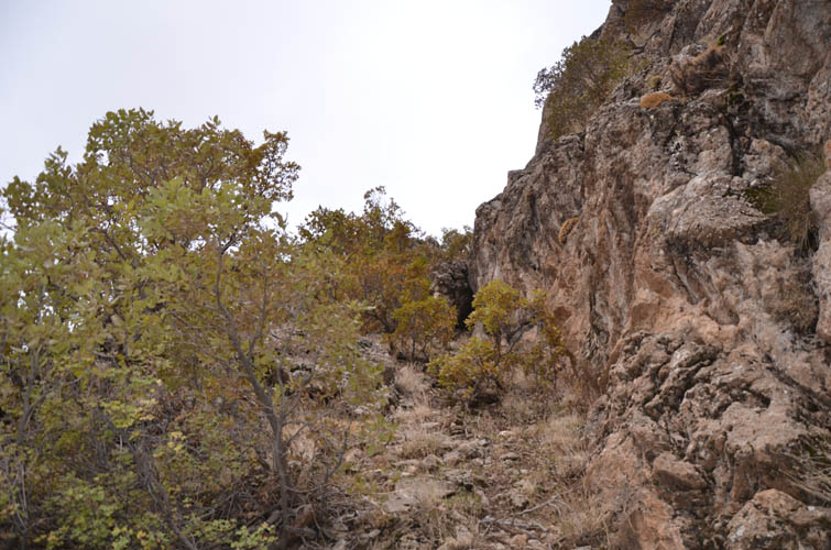
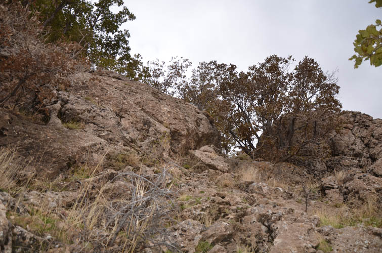
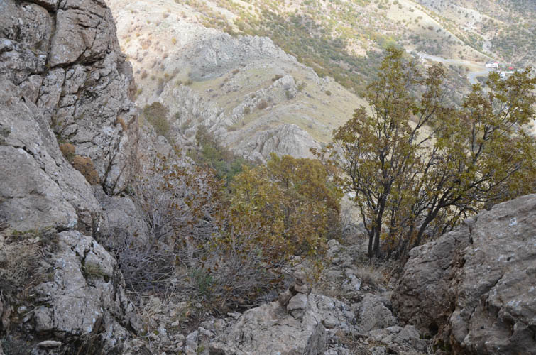
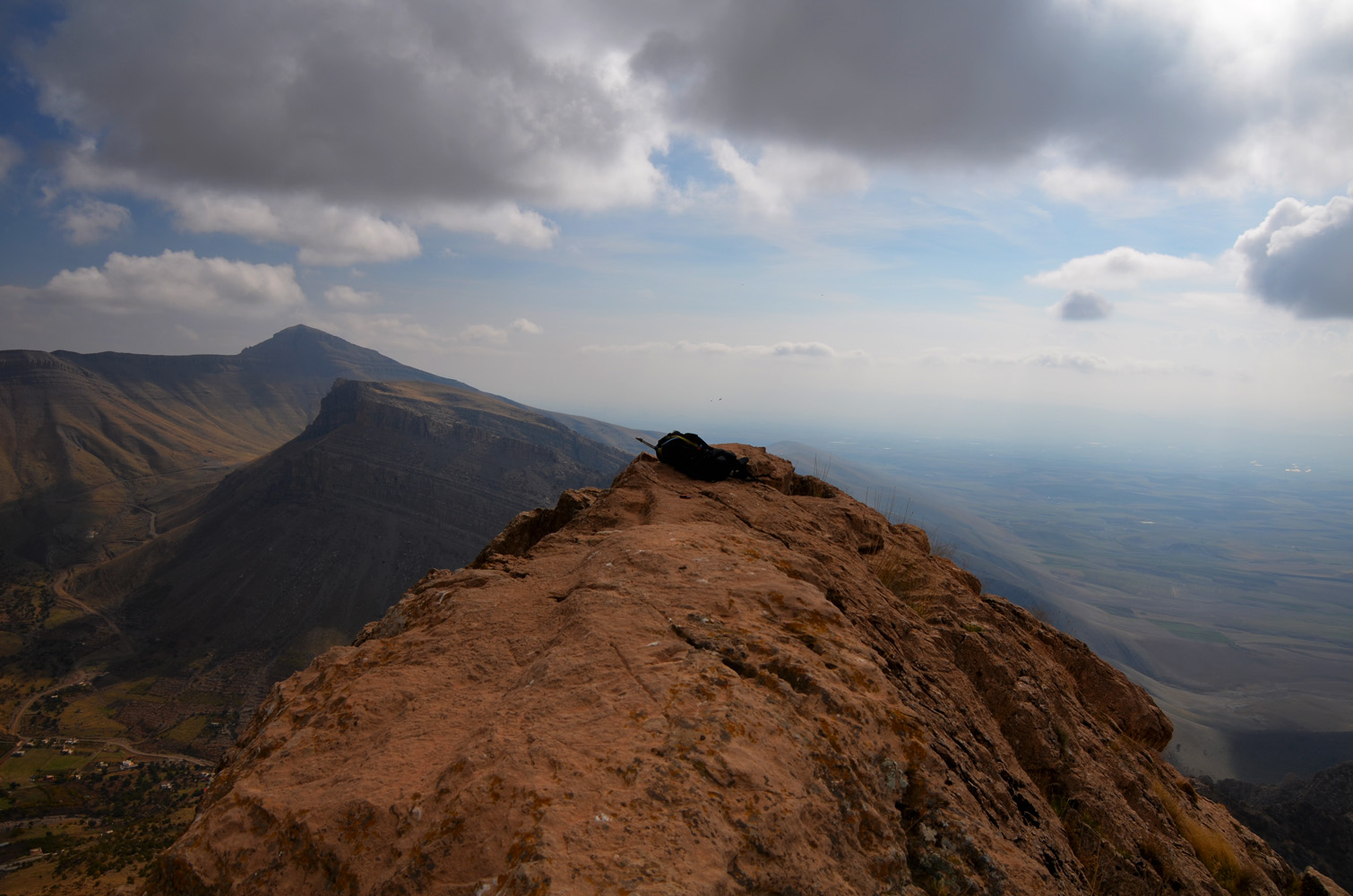
A faint animal trail gives away the best (or perhaps only?) route through the cliffs, but it’s not always obvious so I built a few cairns along the way to ensure I won’t get lost on the descent. The route starts pretty much right at the beginning of the steep northeast buttress, at almost the closest point to the saddle. There is some fun easy to moderate scrambling along the way, plus perhaps a few more difficult moves. The rock can be slippery in places due to moss, but generally it’s pretty solid and offers good holds (no ropes needed). At the very top, one exposed difficult move gets you the last few metres to the airy summit, but I’m pretty sure this step can be bypassed on the southwest side.
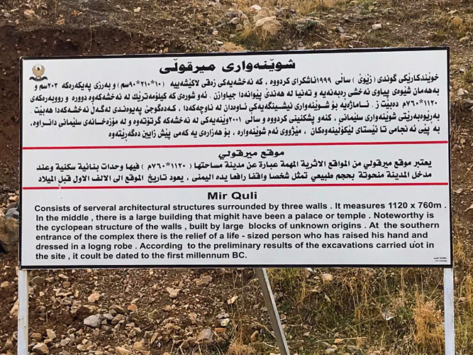
It was only a few days after my climb that I learnt about an ancient rock relief that is supposed to be carved into the cliffs of Merquli somewhere. This is part of the historical “Mir Qoli” site that is mentioned on a sign by the road above Zewe. The relief is said to depict a nobleman and probably dates back to the Parthian period (247 BC to 224 AD). It was only discovered in 1999 by a local villager who found it by accident hidden behind some trees. I don’t know the exact location but had I known about it I would’ve probably spent some time searching for it… Too bad I missed it – maybe next time!
| Elevation: | 1922 m (my GPS) |
| Elevation gain: | 400 m |
| Time: | 2.5 h |
| Distance: | 3.5 km |
| Difficulty level: | Difficult (Kane), T5 (SAC) |
| Reference: | No route information was available to me prior to trip |
| Personal rating: | 5 (out of 5) |
DISCLAIMER: Use at your own risk for general guidance only! Do not follow this GPX track blindly but use your own judgement in assessing terrain and choosing the safest route.