 Thuringian Forest, Germany
20 January 2019
Solo
A pleasantly empty landscape and a busy mountain restaurant
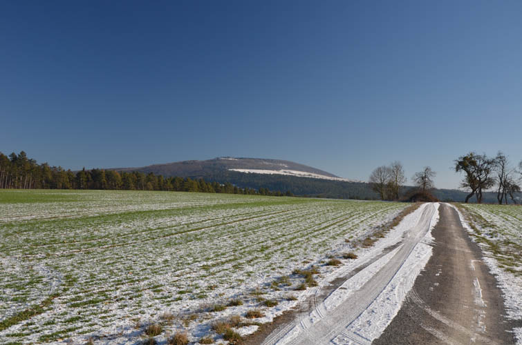
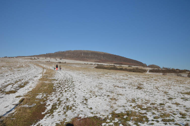
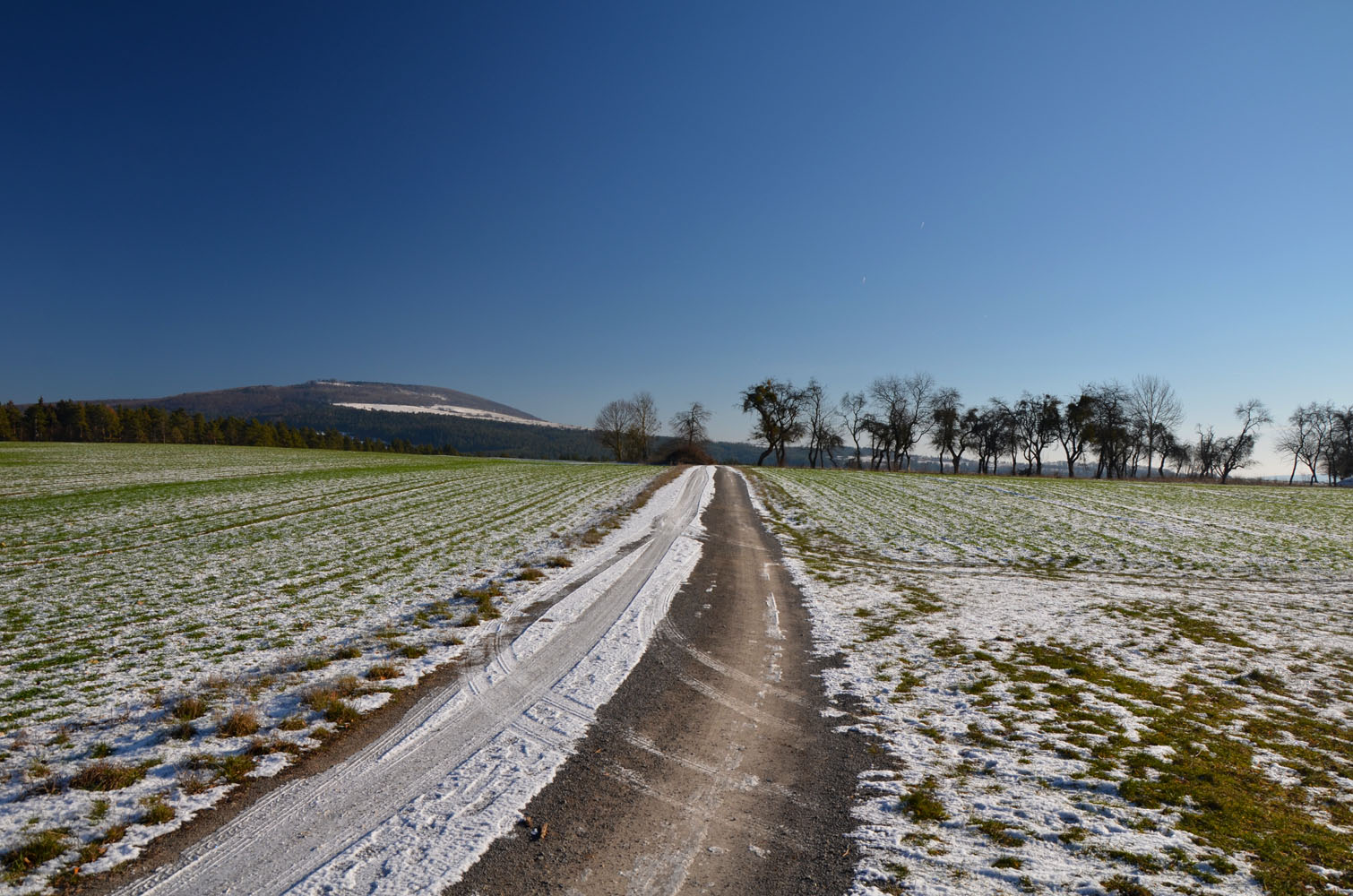
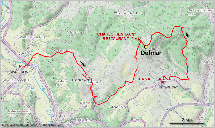
The Dolmar is a broad but prominent hill near the city of Meiningen in the southern reaches of the Thuringian Forest, a low-lying mountain range in the East German State of Thuringia. The area is locally known for its many hiking, biking and cross-country skiing trails, but among international visitors this region is rarely ever on the radar.
With an unusually promising weather forecast of clear blue skies for this normally very cloudy time of the year, my parents and I decided to head out and combine a short walk in the sun with a tasty lunch at the restaurant near the summit. I usually dislike mountains that you can drive up with your car, but here in Central Germany you often have little choice because everything is so developed. Moreover, the Dolmar isn’t really a mountain – it’s more of a hill after all. In such cases I often extend my trips by starting further away or making a big loop in order to add some physical challenge.
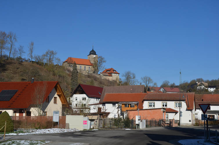
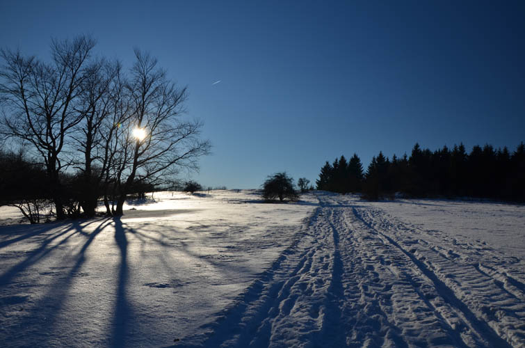
Today, my parents felt like going for a short hike, so they dropped me off in the village of Walldorf about 12 km west of the peak along the marked “Rhön-Rennsteig-Wanderweg” (hiking trail) and then drove closer to the nearby village of Kühndorf where my route would end again. Overall this loop made for a fairly decent workout with 20 km covered and 700 m total elevation gain.
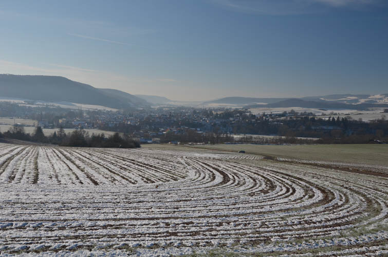
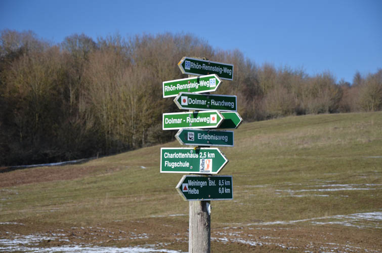
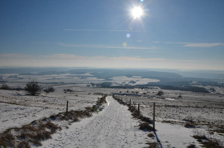
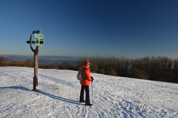
The Rhön-Rennsteig Trail is a regional hiking trail that connects the winter resort town of Oberhof in the Thuringian Forest with the Wasserkuppe in the Rhön Mountains. The trail is well-marked throughout with a red square and “RR” letters. I easily followed it across a gently rolling landscape of open meadows, fields and forest, only rarely having to look at my map to check for directions. Although this land is very well-developed with a good network of roads and tracks connecting the many towns and villages, I was very surprised to see literally not a single other hiker the whole way up until I came to the Dolmar summit area. With the sun shining bright and blue skies around me it was a pleasant walk, albeit not a very exciting one. About two and a half hours after setting off I reached the Charlottenhaus restaurant near the top where I met up with my parents for lunch.
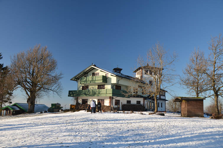
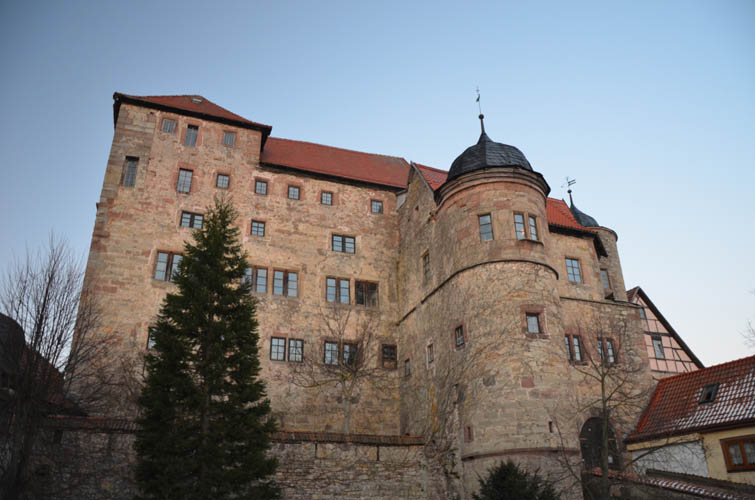
One advantage of hiking in such a formidably developed region in Germany is that your typical sandwich-and-granola-type hiker’s lunchpacks can easily and conveniently be replaced by a hearty warm meal because of the profusion of chalets, inns, pubs and fully-catered restaurants. I remember having some excellent pork roast with delicious beer brewed at a monastery right on the mountain at the Kreuzberg, for example. At the Dolmar, the Charlottenhaus offers rustic Thuringian cuisine, including their own style of Schnitzel (of course), Kasseler (a type of cooked ham) in a coating of bread served with stewed kale, and liver-beef roast with red cabbage and Thuringian potato dumplings.
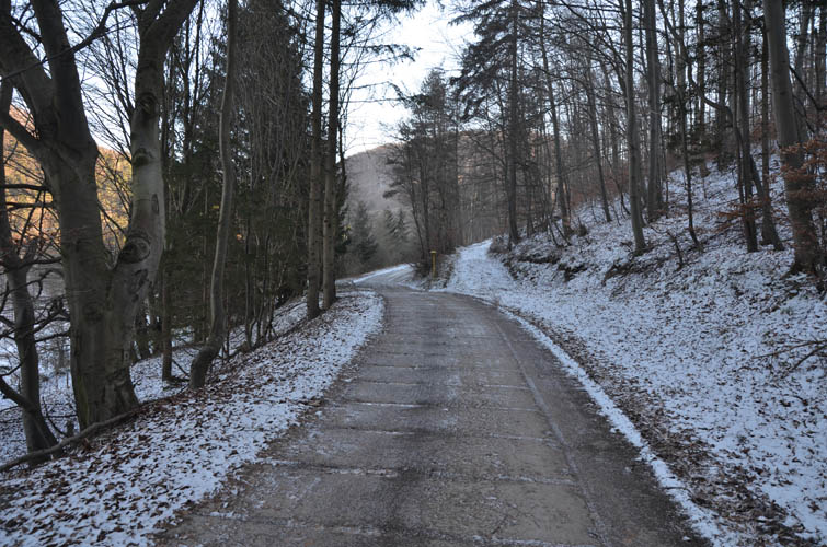
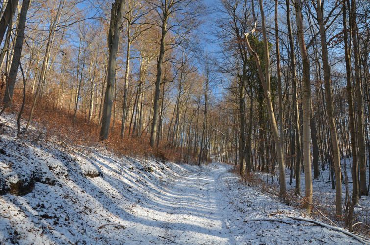
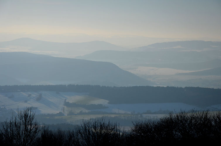
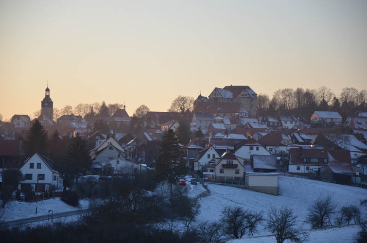
Although the food at this restaurant wasn’t the best I’ve ever had, it was still the highlight of the day. The views from the restaurant on a clear day such as this are quite nice as you can see as far as the Rhön Mountains in Bavaria to the south. There is a big summit cross right by the restaurant and parking area, but the true summit – a few metres higher – is actually about 400 m away on a clearing in the forest. After stopping by the true summit, I took a network of trails generally heading eastward and then looped back south and west to get to Kühndorf where our car was parked. Much of the second part of my hike was in the forest, so no views at all and flat-out boring!
On a sunny day, the western and southern slopes of the Dolmar are well worth visiting as the views are quite nice. Although this wasn’t the most exciting terrain for hiking today, it was still nice to be out in an uncrowded area and get some exercise under my belt.
|
Elevation: |
740 m (official), 742 m (my GPS) |
|
Elevation gain: |
730 m |
|
Elevation loss: |
560 m |
|
Time: |
5.5 h |
|
Distance: |
20.3 km |
|
Difficulty level: |
Easy hike (Kane), T1 (SAC) |
|
Reference: |
Local maps |
|
Personal rating: |
2 (out of 5) |
NOTE: This GPX track is for personal use only. Commercial use/re-use or publication of this track on printed or digital media including but not limited to platforms, apps and websites such as AllTrails, Gaia, and OSM, requires written permission.
DISCLAIMER: Use at your own risk for general guidance only! Do not follow this GPX track blindly but use your own judgement in assessing terrain and choosing the safest route. Please read the full disclaimer here.