Banff National Park, AB, Canada
18 July 2021
Solo
Possible first ascent of a surprisingly easy peak
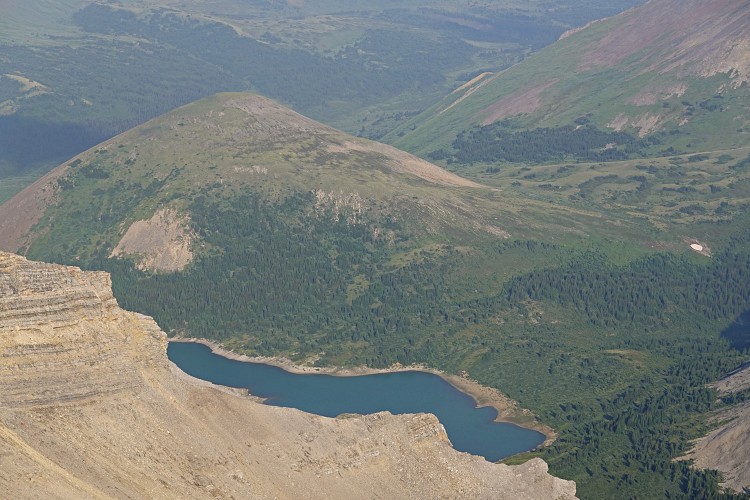
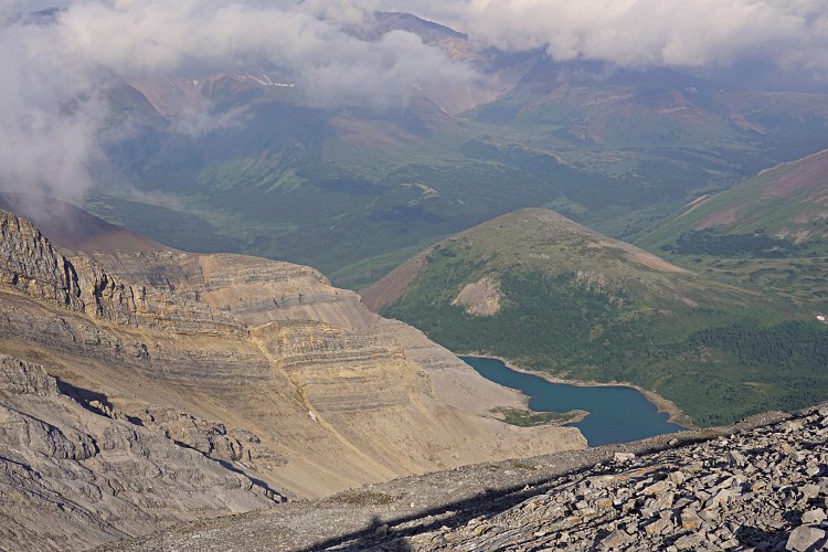
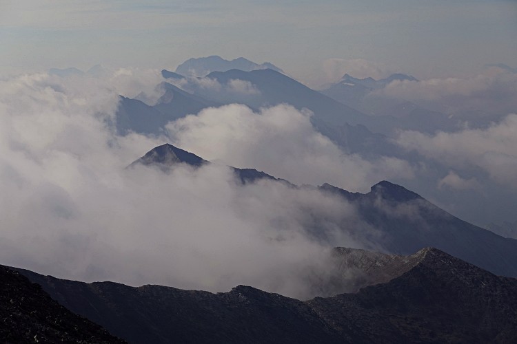
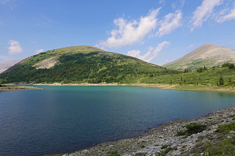
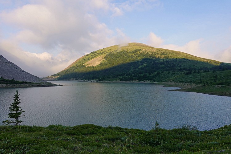
I enjoyed a sound sleep in my tent at Grouse Lake (elevation: 2270 m) and awoke refreshed and ready to take on a long day after the long approach and ridge walk on Grouse Peak yesterday. Melanin Peak has enticed me for a long time with its remote location, lack of info, and poor satellite imagery covering the area, which makes route planning a bit more difficult.
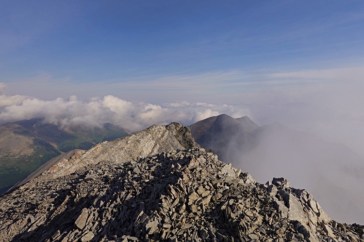
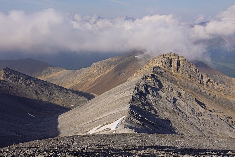
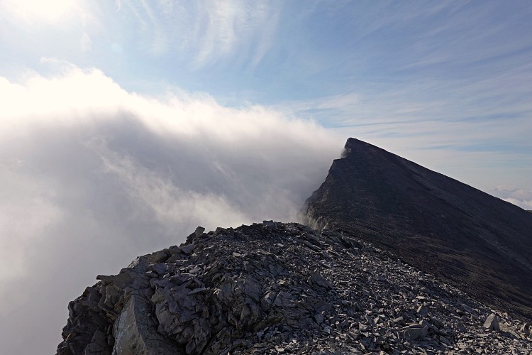
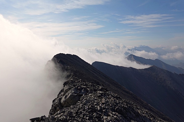
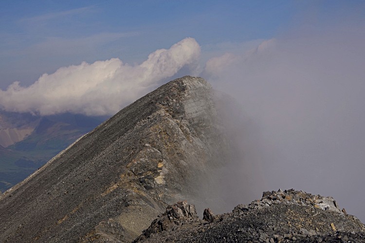
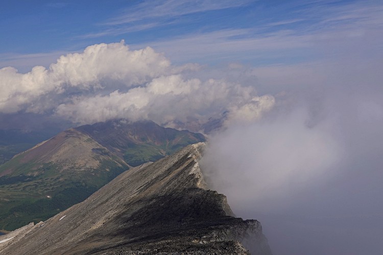
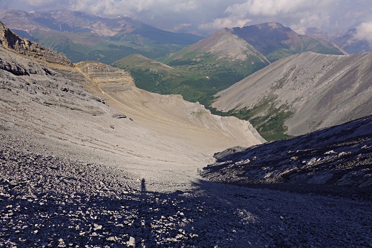
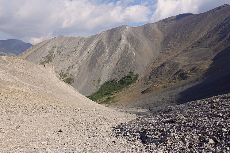
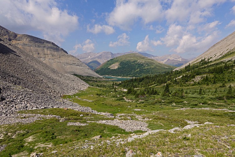
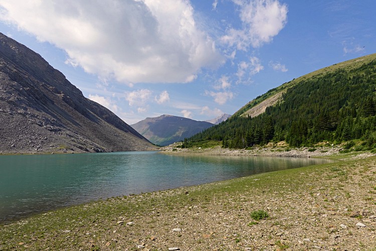
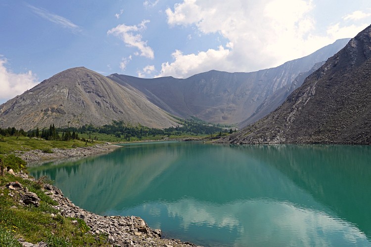
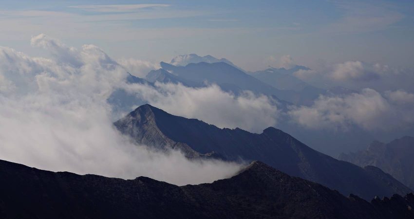
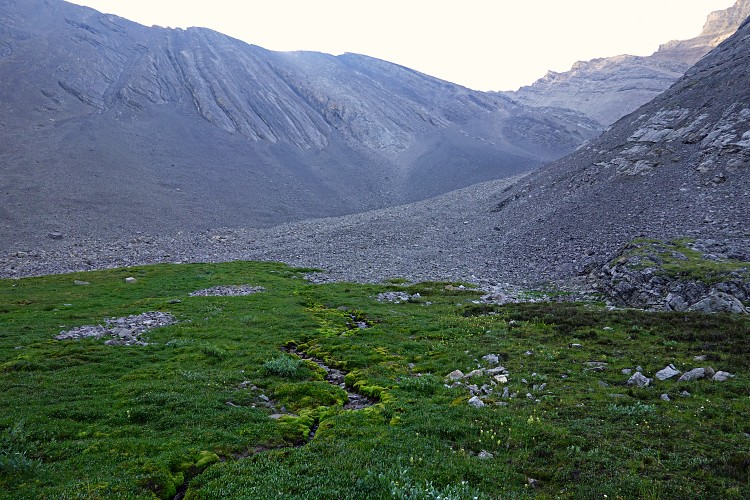
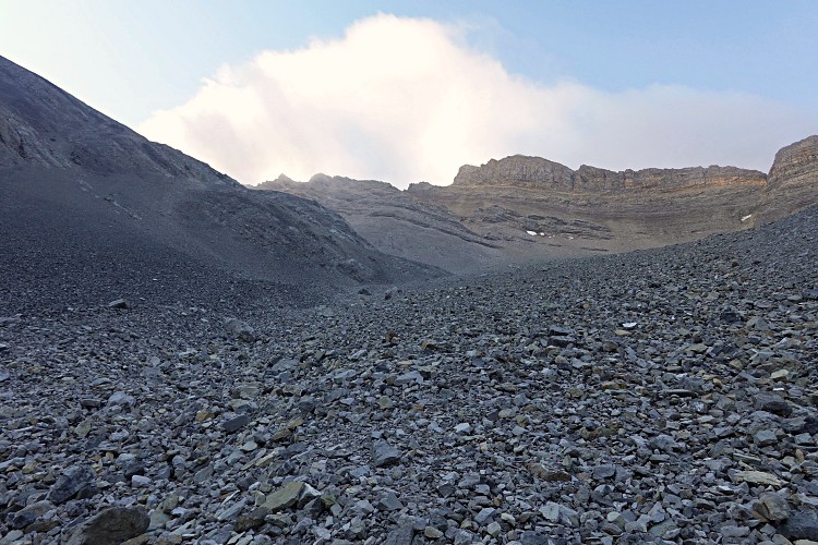
I had no idea whether my planned route via a gully to the north of the peak would work, but in short – it did, and it was easy on top of that. First, I hiked to the back of the lake on the east side, continued up higher into the beautiful valley behind it on a mix of grass flats, rocky ribs and bushy terrain. The head of the valley then curves around to the south and grass abruptly changes to rock talus that fills the long gully ahead. Fortunately, it’s mostly firm rubble and easy to tramp up. It gradually narrows higher up and then leads to a scree slope, which I easily walked up to an uncairned subsidiary peak just to the north of Melanin Peak. The connecting ridge between the two turned out to be a delightful and easy scramble and I was quite relieved to see that the route had worked out without a hitch.
Melanin Peak features a double summit, the northern one being marginally higher. There were no cairns so I built a small one at the true summit and left a register. It took me less than two hours from camp at the lake, much less than I had expected for this 2972 m high mountain.
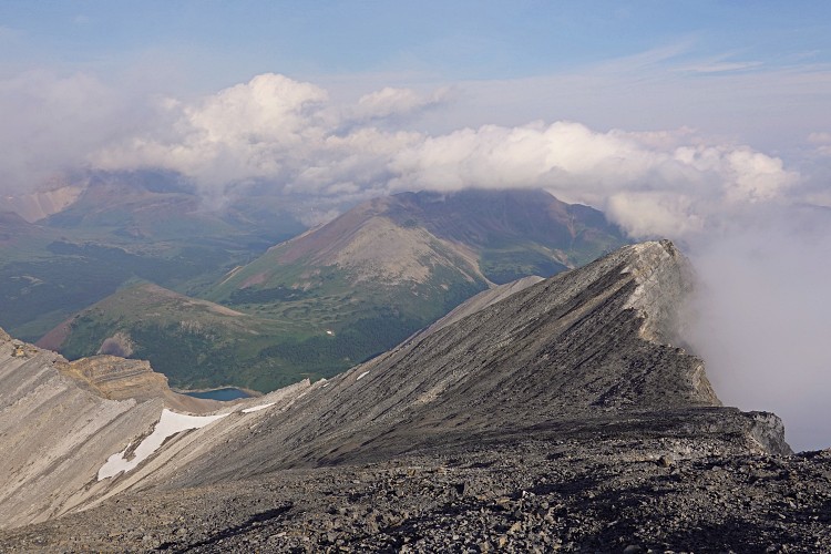
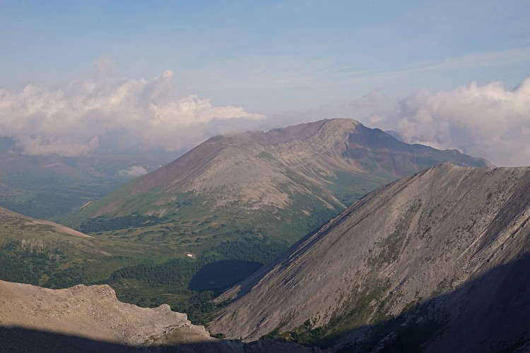
My return route was exactly the same and I was back at my tent an hour and a half later at 11 AM. Lots of time to climb another mountain: Snowflake Peak on the other side of the Cascade Fire Road was next!
|
Elevation: |
2972 m |
|
Elevation gain: |
740 m |
|
Time: |
3.5 h |
|
Distance: |
6.4 km |
|
Difficulty level: |
Easy (Kane), T3 (SAC) |
|
Activity: |
Scrambling |
|
Reference: |
Own routefinding |
|
Comments: |
Stats above are from/to Grouse Lake |
|
Personal rating: |
4 (out of 5) |
NOTE: This GPX track is for personal use only. Commercial use/re-use or publication of this track on printed or digital media including but not limited to platforms, apps and websites such as AllTrails, Gaia, and OSM, requires written permission.
DISCLAIMER: Use at your own risk for general guidance only! Do not follow this GPX track blindly but use your own judgement in assessing terrain and choosing the safest route. Please read the full disclaimer here.
to the north emerges.