Kananaskis, AB, Canada
15 May 2023
Solo
Highly enjoyable ridge walk with great hands-on scrambling
This trip pleasantly surprised me. Somehow I had been under the impression that Compression Ridge isn’t a very nice scramble, but now I can say that it definitely is! If you like lots of routefinding and challenging scrambling problems, that is.
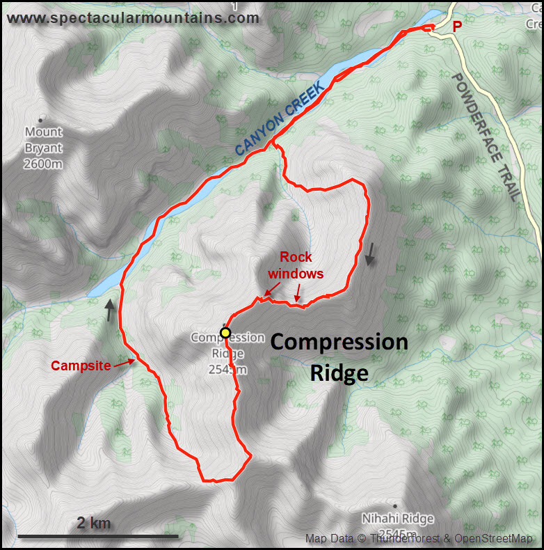
I drove up Powderface Trail, the gravel access road north of highway 66, the day it opened after the winter closure that typically lasts from Dec 1st to mid-May. It had just been graded so travel was smooth (although I wouldn’t want to drive it with a regular car when wet or muddy).
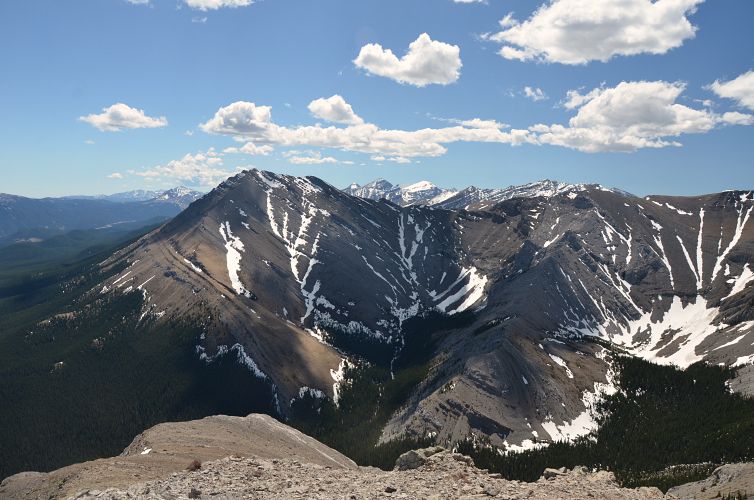
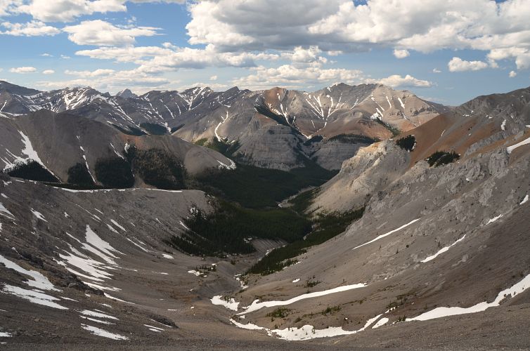
Compression Ridge is sometimes done as an extension from Nihahi Ridge as described in Kane’s Scrambles book, a super long outing necessitating two cars. I decided to go up somewhere around Kane’s descent route from Canyon Creek, follow the ridge south, then descend via the valley west of the ridge and hike back along the rubbly creek bed.
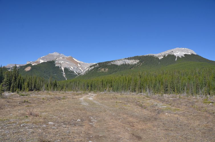
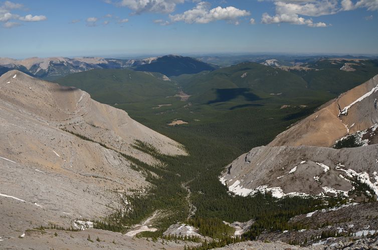
Canyon Creek has intermittent bits of trail in the first few kilometres, but even without the trail it’s a really easy place to hike as far as creek beds go. The flat-bottomed valley is strewn with small pebbles and stretches of grassy floodplain that allow for fast walking. The creek itself was very narrow and only running water in a few places.
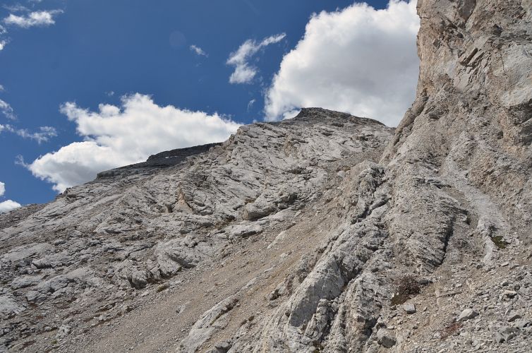
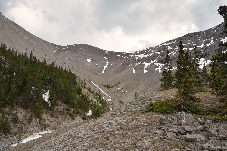
After hiking the creek for some 40 minutes, just past the big vertical cliff above the red shale slopes to the south, I entered a narrow drainage on the left that leads up a small side valley. I found it easier to hike through light forest on the left side instead of dealing with debris and boulders in the drainage itself. Soon I left the trees behind and angled up open grass and scree slopes towards a rib that led me directly to the main north-south ridge. It took me a full two hours to this point and by now I definitely knew I was completely out of shape after months of being away from the mountains…
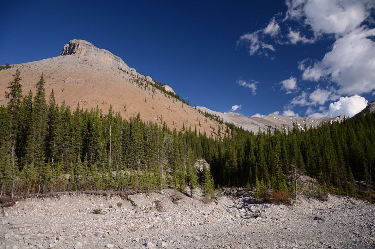
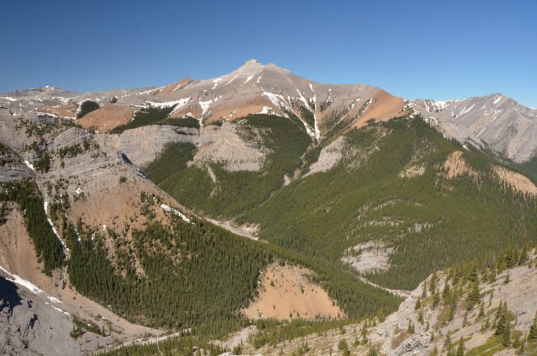
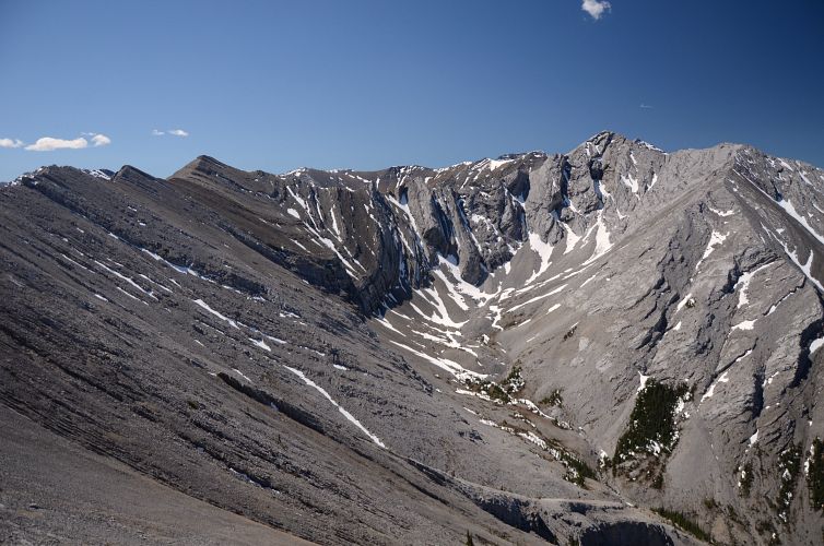
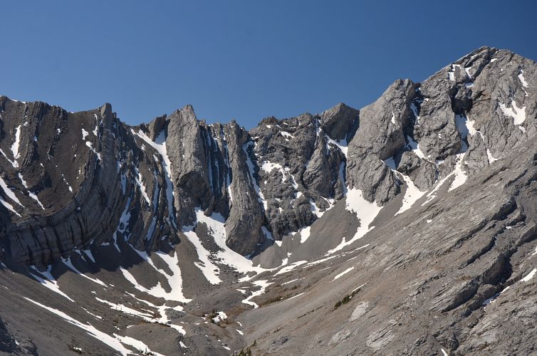
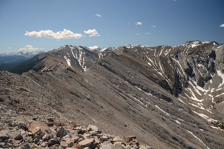
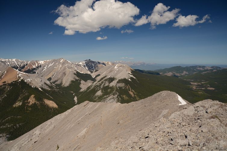
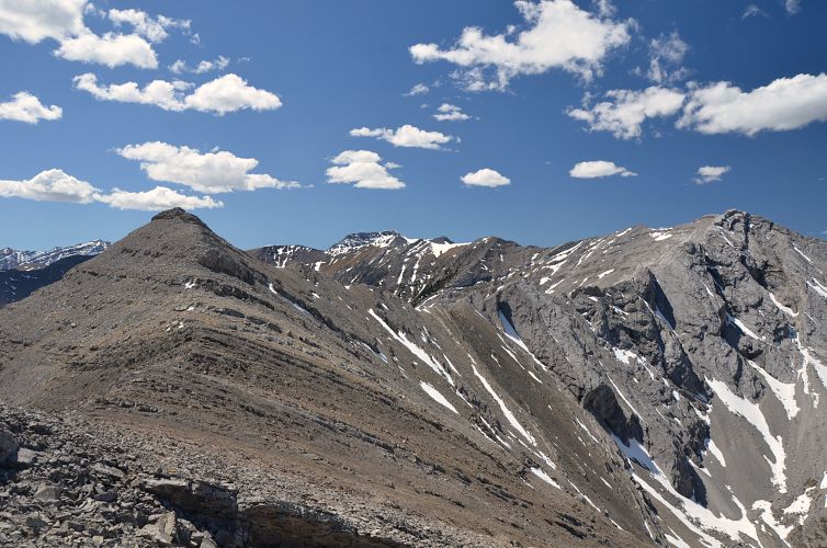
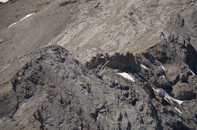
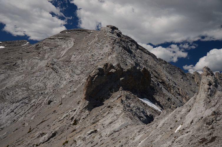
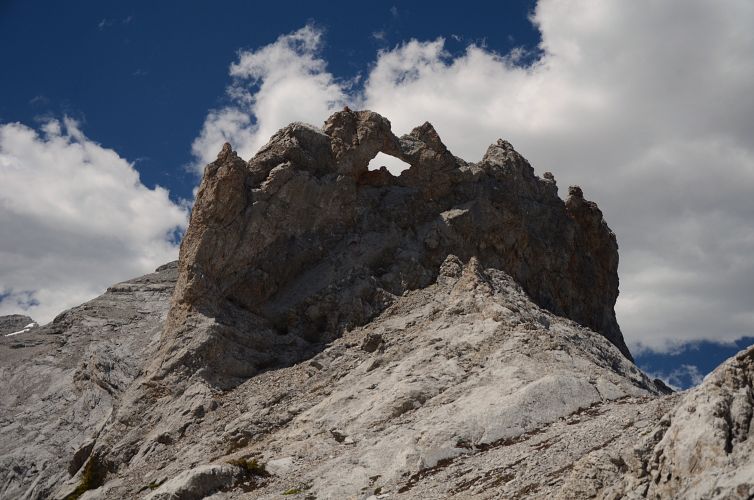
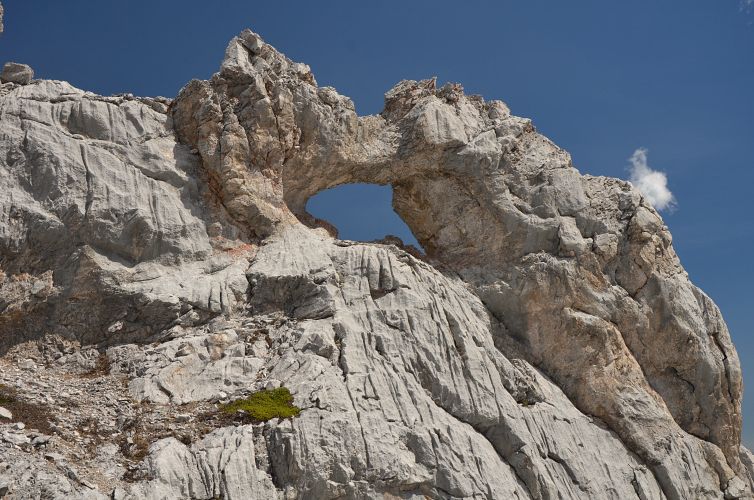
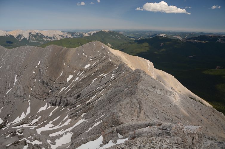
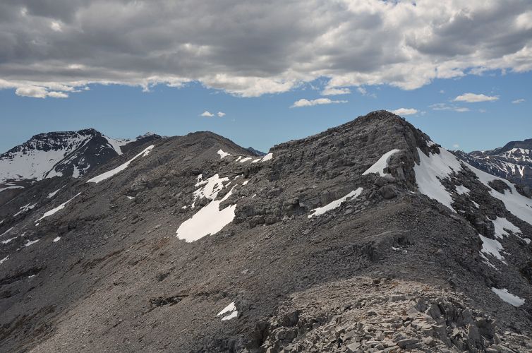
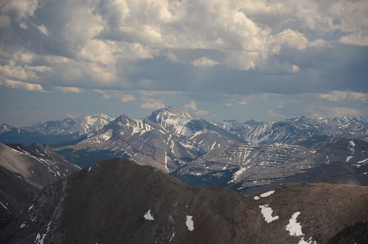
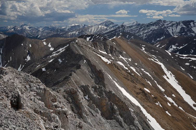
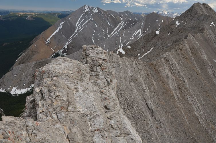
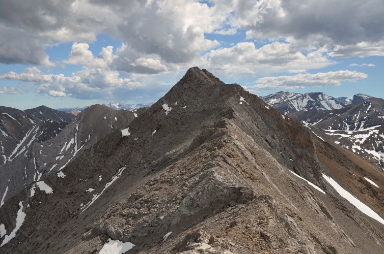
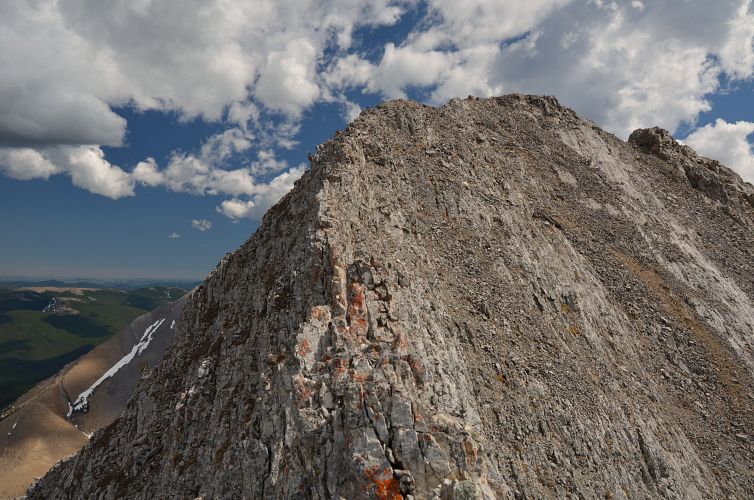
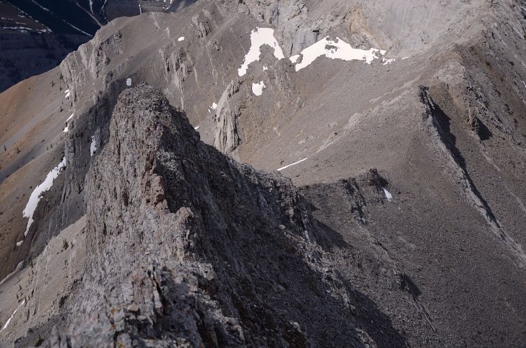
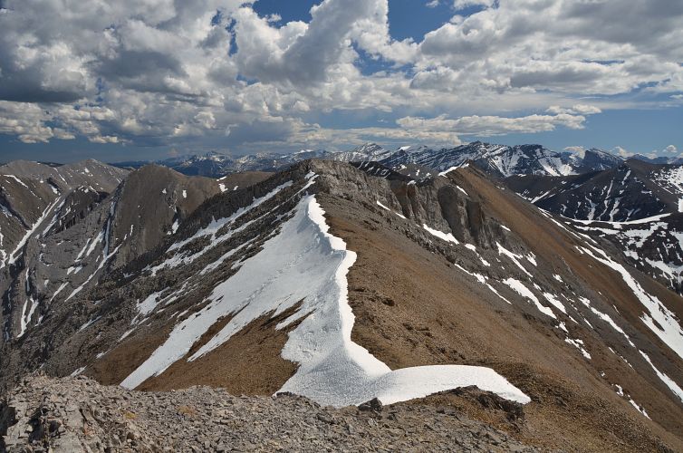
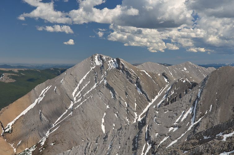
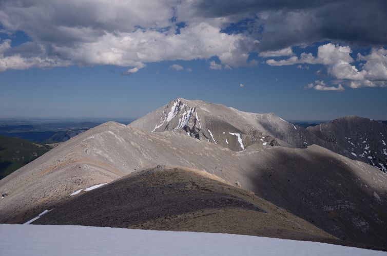
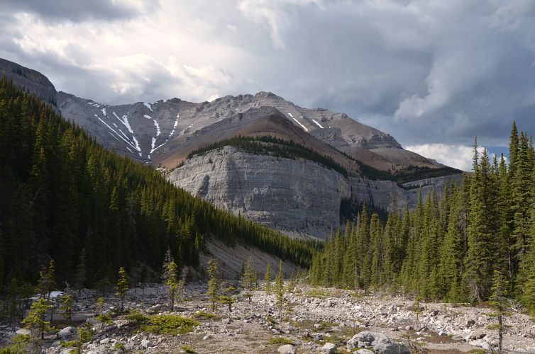
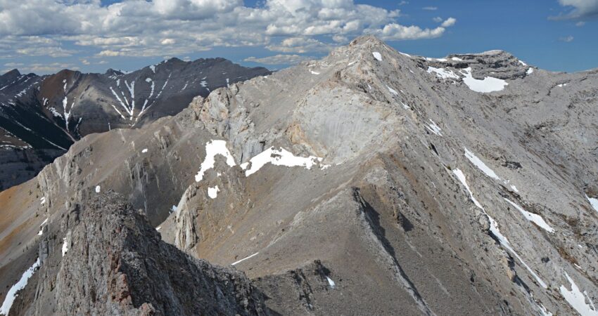
The first third of the ridge walk was pretty straightforward. Lots of small ups and downs heading south, but no serious obstacles in the way until the ridge turned west. Here, I hit the famous pinnacles and the rock window, all easily circumvented on the left (south). To my surprise I found no cairns at all and there was lots of fun routefinding here. To get to the highpoint where the ridge turns south again, I scrambled up some neat slabs and over another rock window near the end.
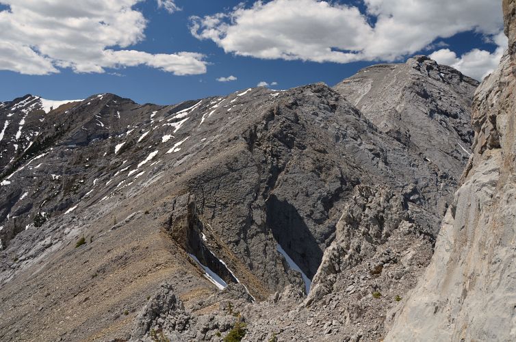
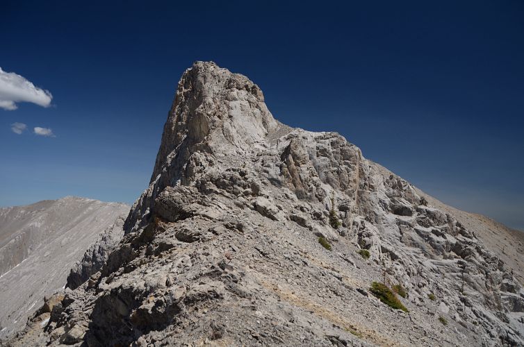
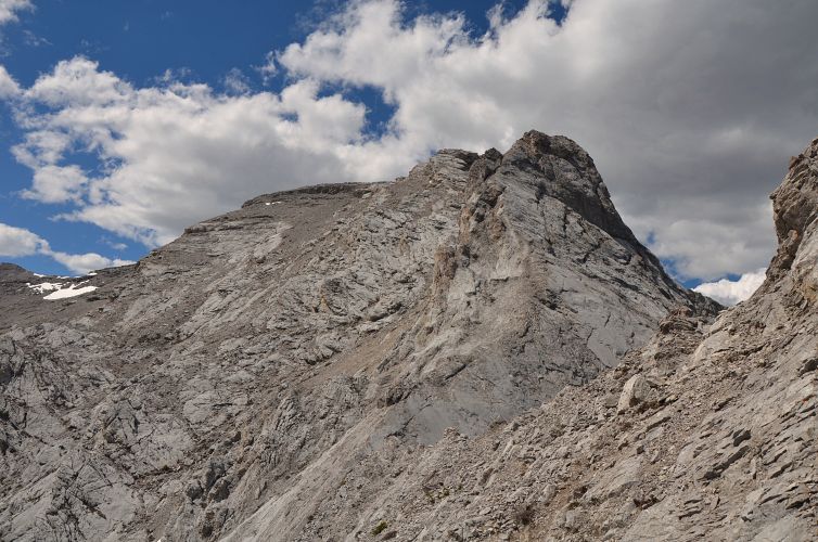
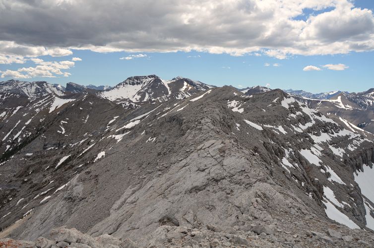
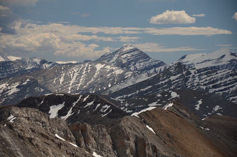
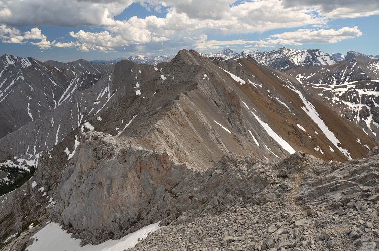
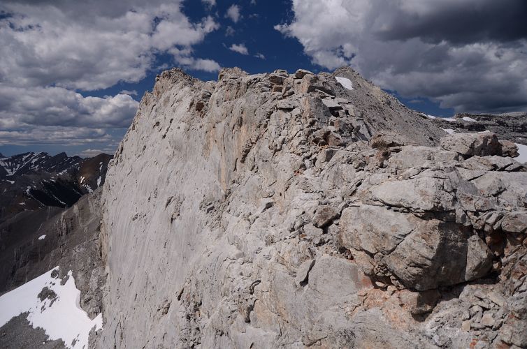
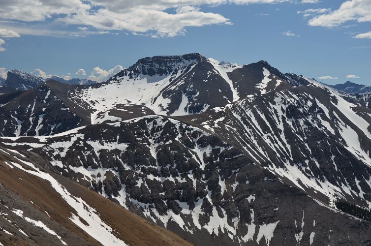
Then came the most exciting part, the last third of the ridge walk. The true summit is easily reached, but right after that the ridge completely changes in character. First there is a narrow, vertical, free-standing wall with serious exposure on both sides. Thankfully, the rock is solid and the section is fairly short. This is followed by an even narrower stretch of jagged, rotten rock. I think this is where Kane suggests going around the west side on rubble below the crest, but the ridge top itself works too if you’re comfortable with exposure and tip toeing on very narrow ledges, using the rock flakes to your right as a “railing”. There were a few more steep sections to negotiate, then the terrain eased off as I approached the southern end where you can connect to Nihahi Ridge to the east or Mount Howard to the west.
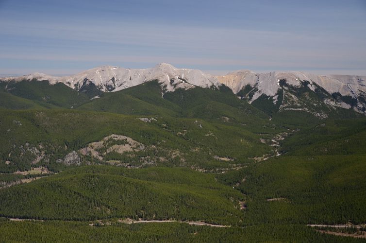
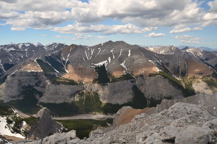
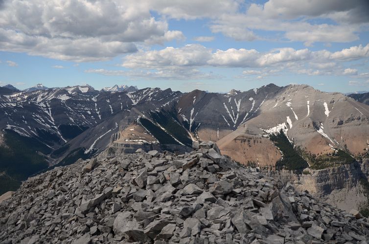
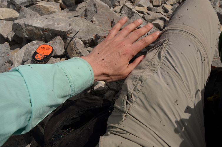
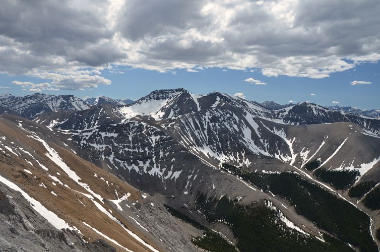
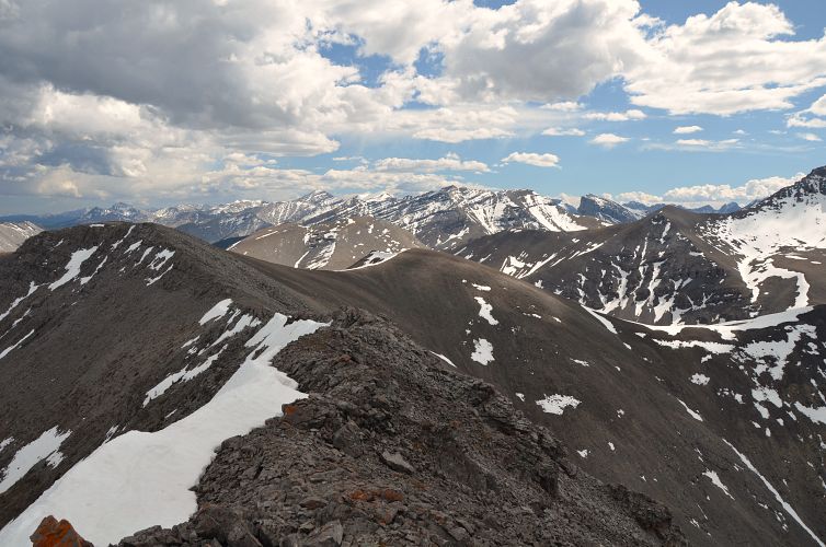
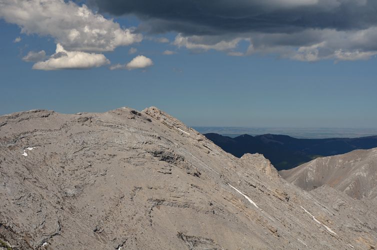
By now I had been out for six hours and I was feeling my legs! The dark clouds that had accumulated in the distance had also disappeared, so all was good as I sat down for an extended break taking in the views. All the difficult spots were behind me and I knew the descent would be pretty relaxed. The only thing that cut short my break were the millions of flies and bugs buzzing around me in the windless and stale air, a very strange phenomenon for mid-May.
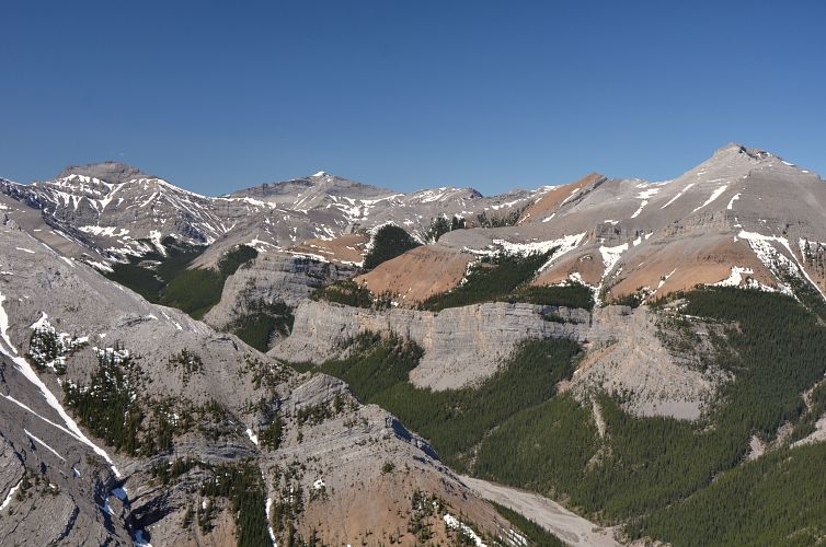
The valley west of Compression Ridge worked great as a quick way down. I descended scree and grass slopes to valley bottom and followed the rubbly creek bed (running water in places) back to Canyon Creek. The trudge back along Canyon Creek was a bit mind-numbing and I was very tired when I finally got back to my car – I had no idea how much I’d gotten out of shape! Although this was an energy-sapping trip for me it still rates as one of the finest difficult scrambles I can think of in close proximity to Calgary.
|
Elevation: |
2550 m |
|
Elevation gain: |
1420 m |
|
Time: |
9.0 h |
|
Distance: |
18.3 km |
|
Difficulty level: |
Difficult (Kane), T6 (SAC) |
|
Reference: |
Kane & own routefinding |
|
Personal rating: |
5 (out of 5) |
NOTE: This GPX track is for personal use only. Commercial use/re-use or publication of this track on printed or digital media including but not limited to platforms, apps and websites such as AllTrails, Gaia, and OSM, requires written permission.
DISCLAIMER: Use at your own risk for general guidance only! Do not follow this GPX track blindly but use your own judgement in assessing terrain and choosing the safest route. Please read the full disclaimer here.