Calgary Foothills, AB, Canada
6 May 2020
With Marcelina
Nice and easy early-season hike
Finally an early-season hike without any snow… well, almost. Unlike some recent trips where we sometimes had to plough through stretches of annoyingly deep and soft snow, we were spared the suffering today.
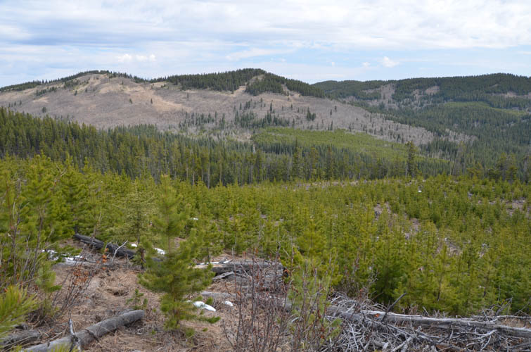
Seventy Buck and Eagle Hill are among a group of minor hills and ridges along Highway 68 just east of Hwy 40. Many of the hikes here are in condition relatively early in the season and tend to be snow-free when the Front Ranges are still blanketed in the white stuff.
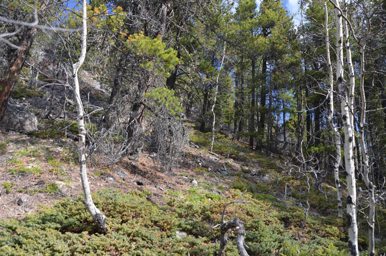
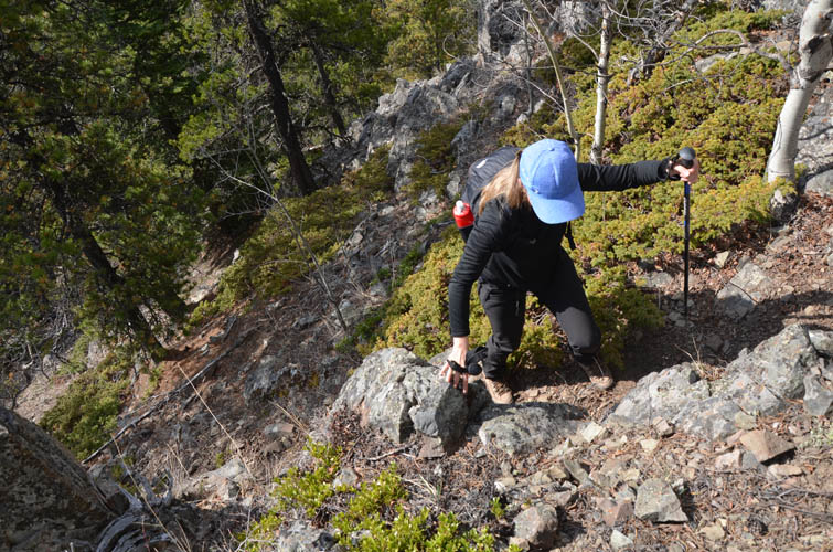
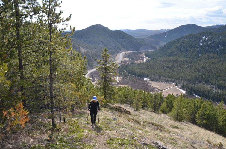
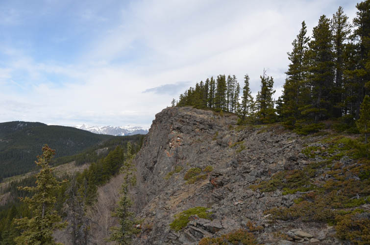
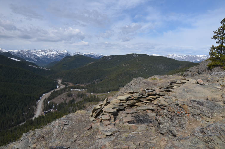
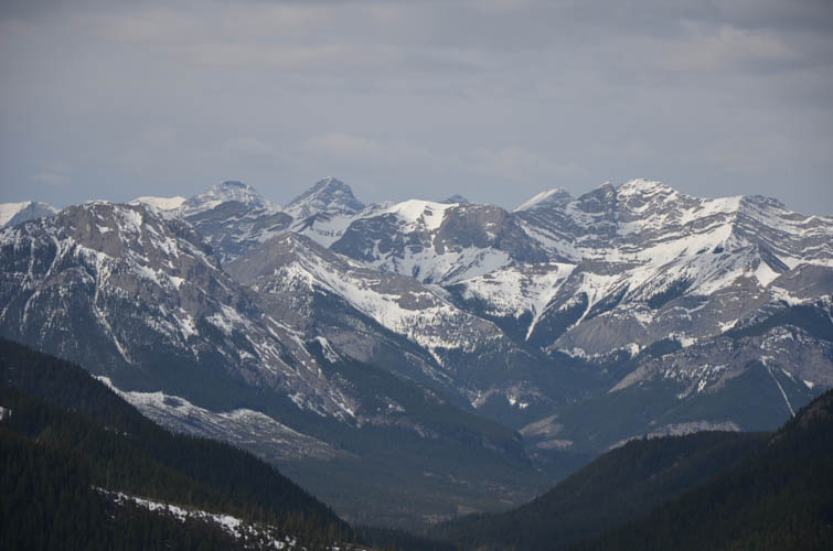
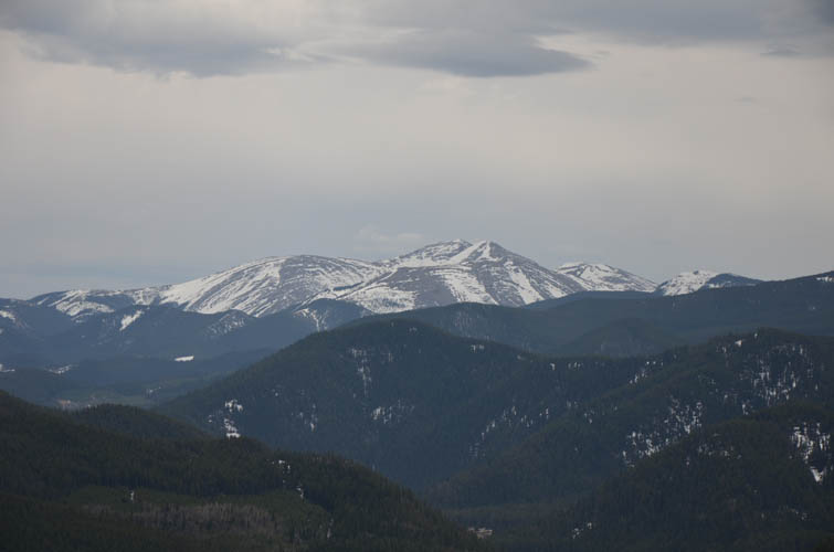
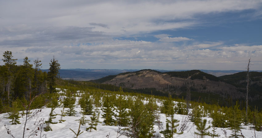
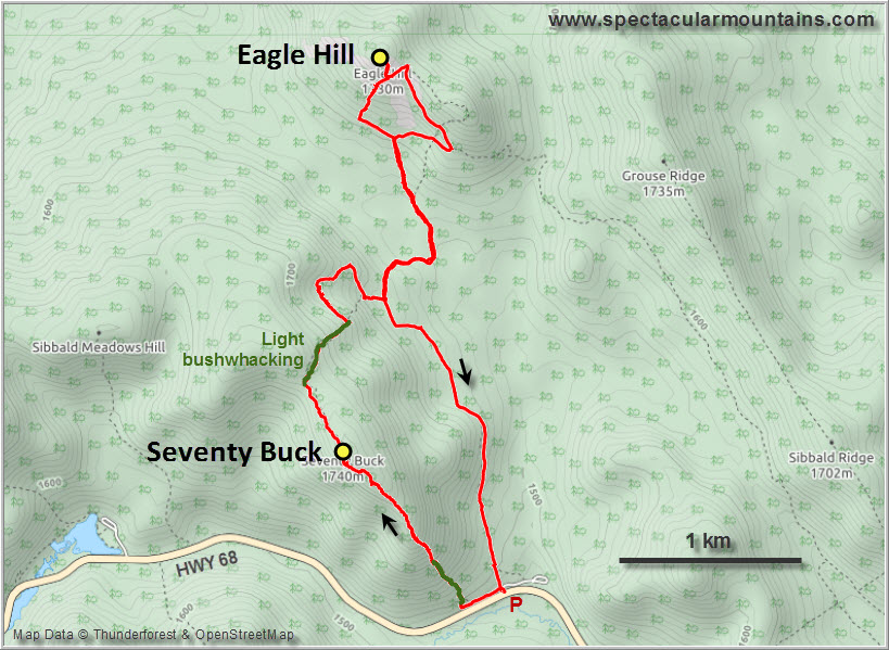
The route up the south ridge of Seventy Buck was completely dry on this perfectly sunny and warm early-May morning. Considering how close this is to the road we were surprised that there wasn’t really a trail. After hiking through very light forest up a steepish slope we followed the ridge – trees on the right, escarpment on the left – to the viewpoint at the top. There are some nice views of the Sibbald Creek Valley from here with Mount Baldy and other Front Range peaks in the background.
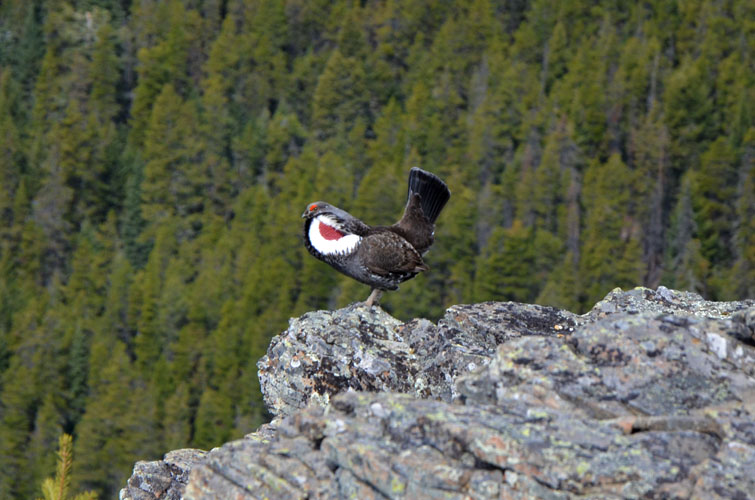
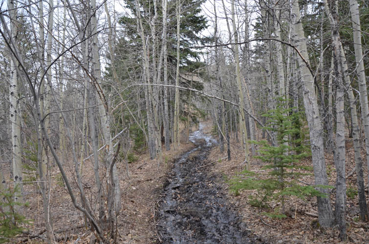
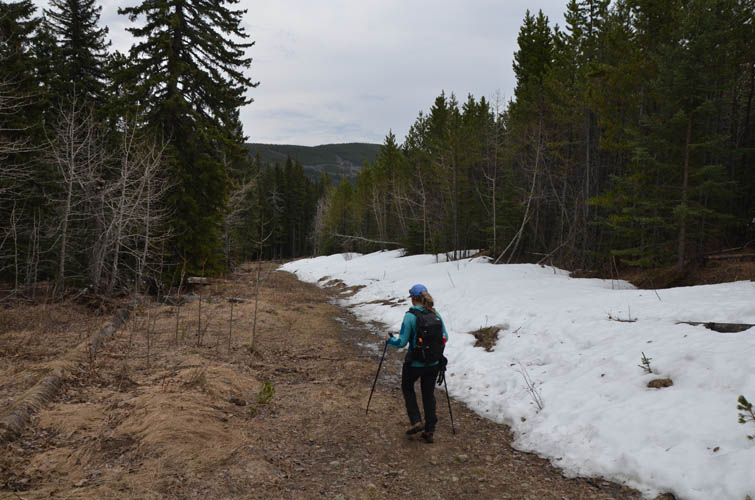
It barely took us an hour to get to the top of Seventy Buck so we decided to extend our little mid-week hike to tag on Eagle Hill as well. To get there we continued north from Seventy Buck to a broad saddle and then just hiked across some old cutblocks between the young pine trees. There was some deadfall too, but nothing too bothersome and we hardly noticed it as we chatted away the whole time. After a few hundred metres we ended up on an old logging track that connected up with a proper path, which eventually took us to the Eagle Hill trail. Lots of boot prints here, both in the snowy sections and in a long muddy stretch. By the time we got to the top we had ran into around 10 people in total – quite impressive for a weekday in May, but it shows how people are just craving the outdoors again after being stuck in the city far too long due to the corona virus (the Provincial Parks just officially opened five days ago!).
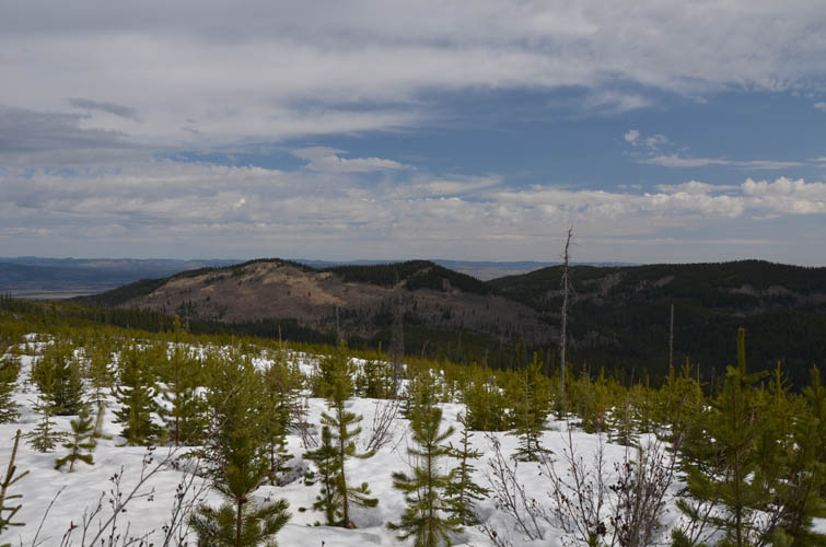
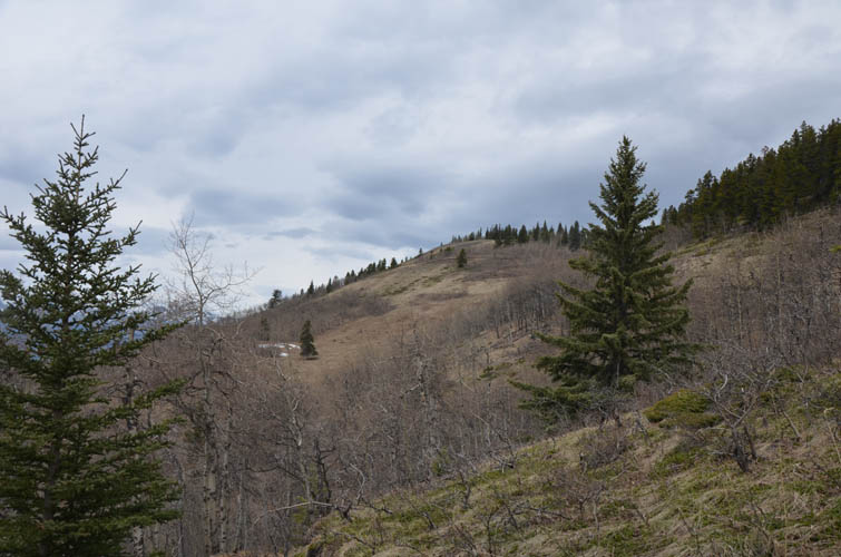
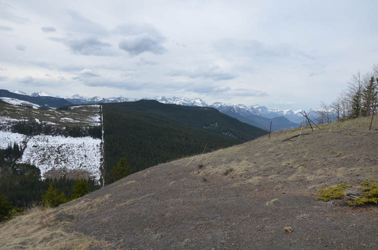
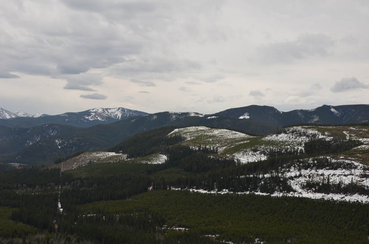
Eagle Hill summit offers reasonable views, but what was most interesting to me was that the actual summit (complete with picnic table and bench) is just behind a barbed wire fence, which marks the boundary of the Stoney Nakoda reserve. The rolling hills to the west also show this distinction quite clearly: an arrow-straight cutline with logged areas on the left and uninterrupted forest on the right. The tip of Chiniki Lake can just about be seen from the viewpoint next to the summit.
For the way back we chose the easiest option: the beaten trail that runs south along the gentle valley directly to the parking area. A nice early season hike that may not offer exciting views but is close to Calgary and doesn’t have any snow roadblocks.
|
Elevation: |
Seventy Buck: 1756 m (my GPS) |
|
|
Eagle Hill: 1739 m (my GPS) |
|
Elevation gain: |
560 m |
|
Time: |
4 h |
|
Distance: |
9.4 km |
|
Difficulty level: |
Easy (Kane), T2 (SAC) |
|
Reference: |
Daffern & own routefinding |
|
Personal rating: |
2 (out of 5) |
NOTE: This GPX track is for personal use only. Commercial use/re-use or publication of this track on printed or digital media including but not limited to platforms, apps and websites such as AllTrails, Gaia, and OSM, requires written permission.
DISCLAIMER: Use at your own risk for general guidance only! Do not follow this GPX track blindly but use your own judgement in assessing terrain and choosing the safest route. Please read the full disclaimer here.